Mickelson Trail MM 31-44

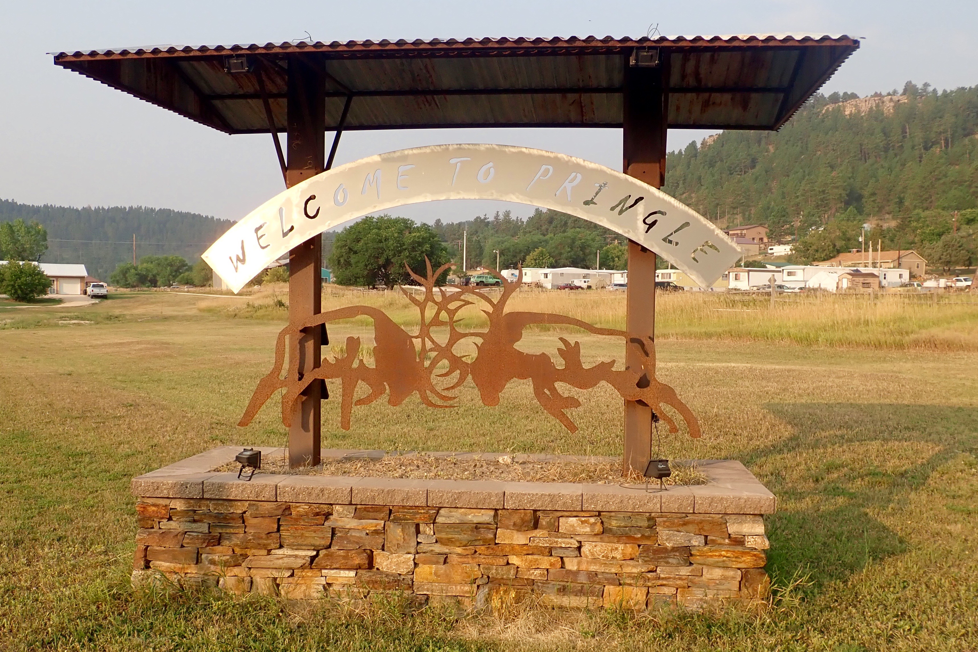
We drove to Pringle, intending to start riding by 6:30. But we got lost and only started at 7:30.

The goal was to ride to Custer and back.

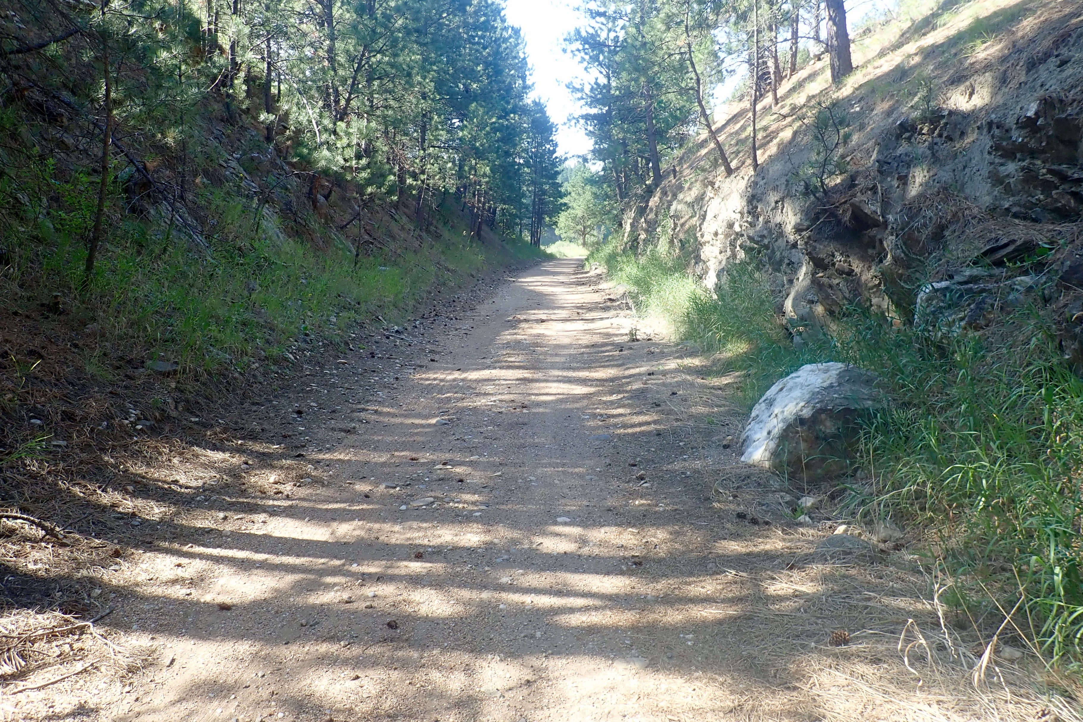
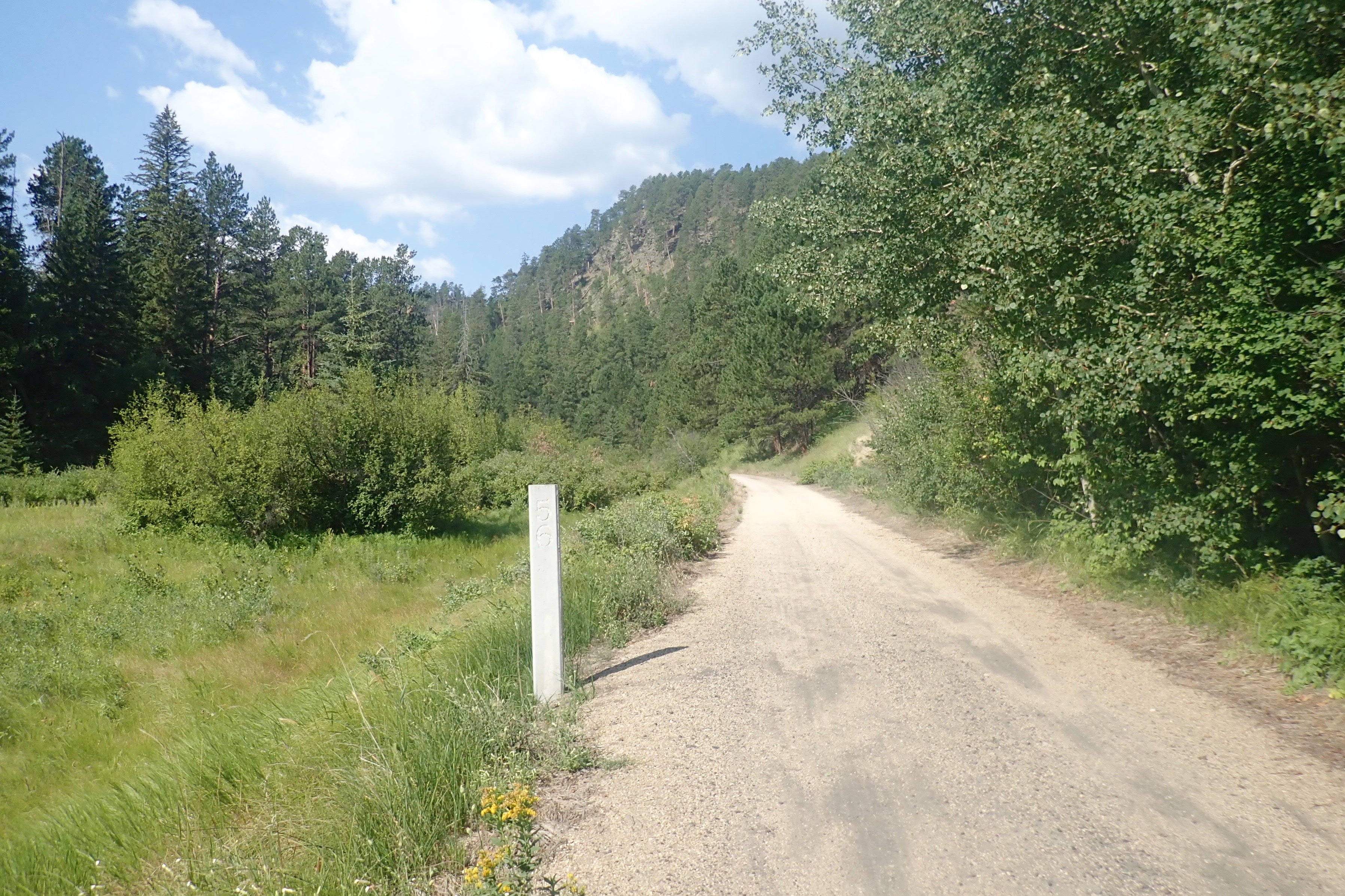
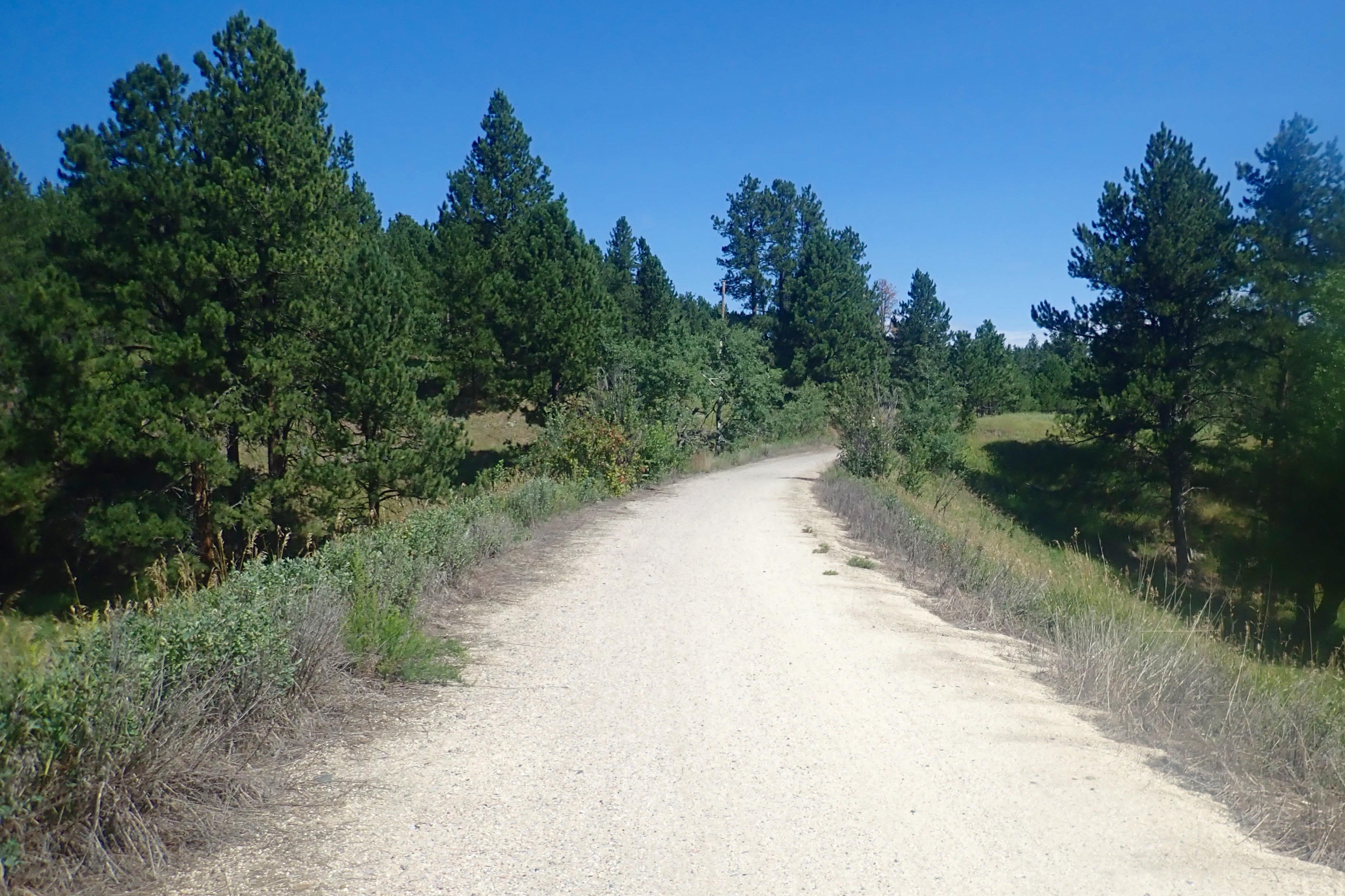
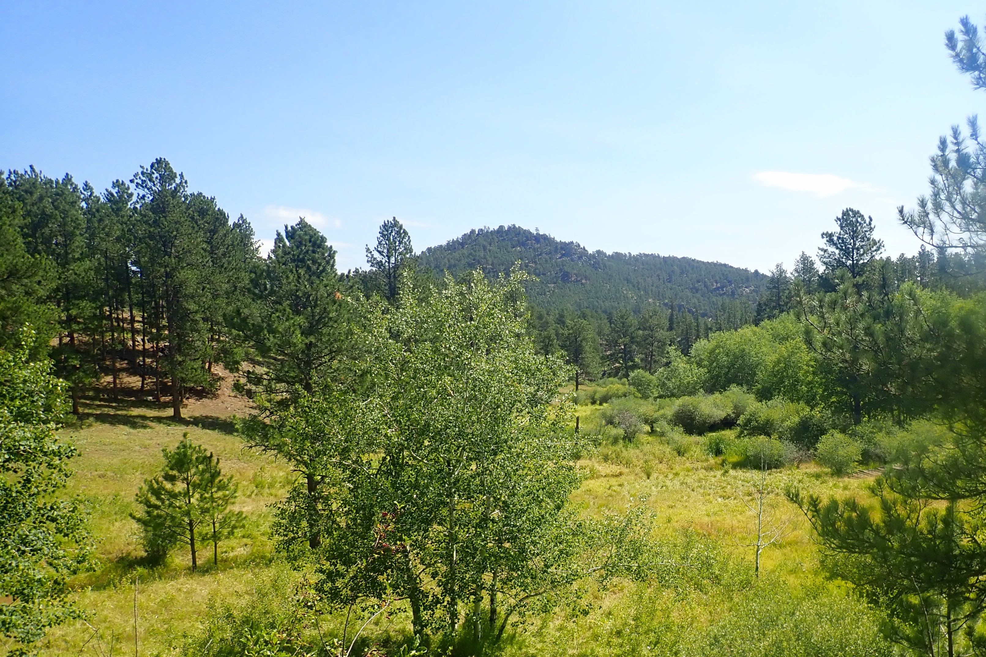
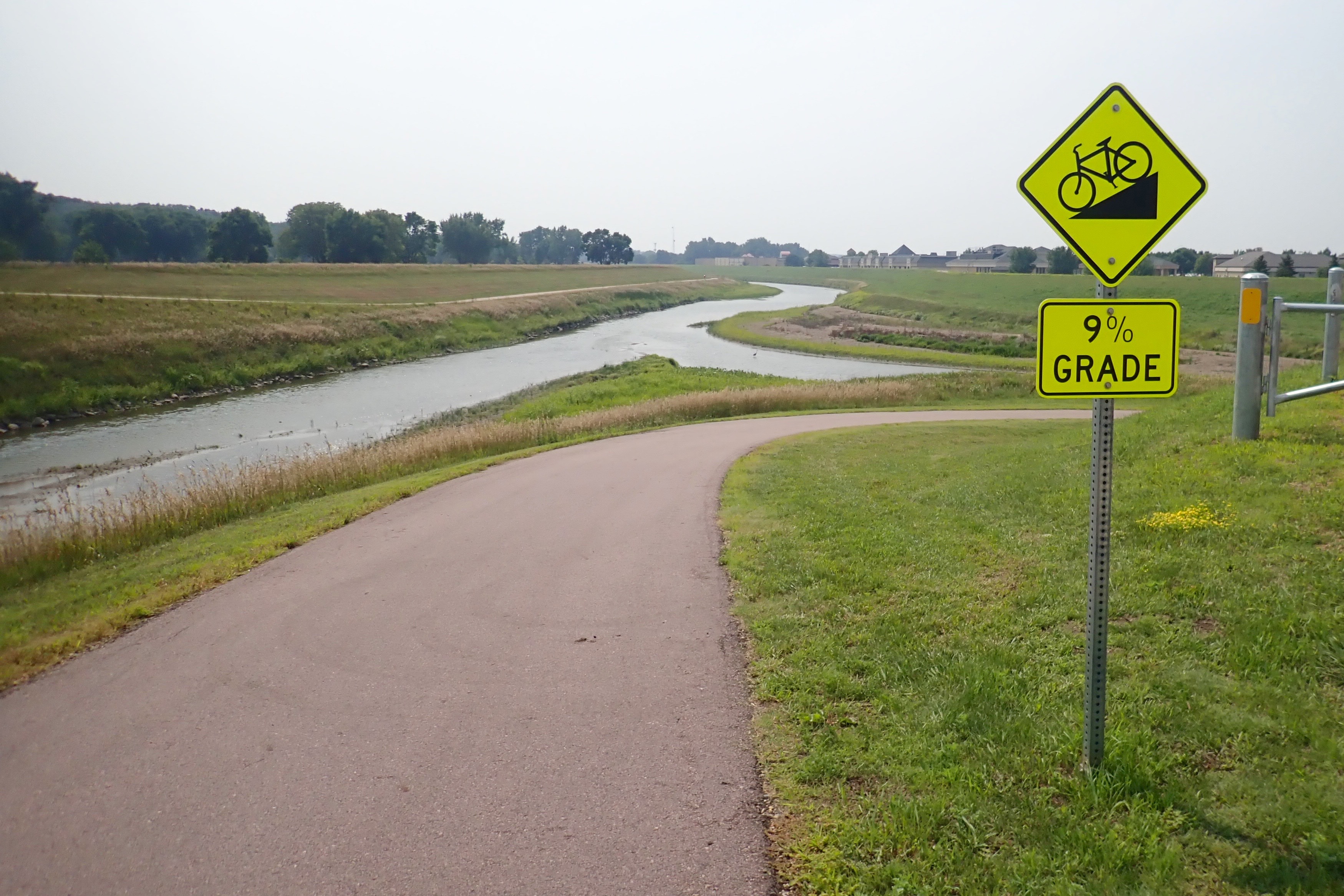
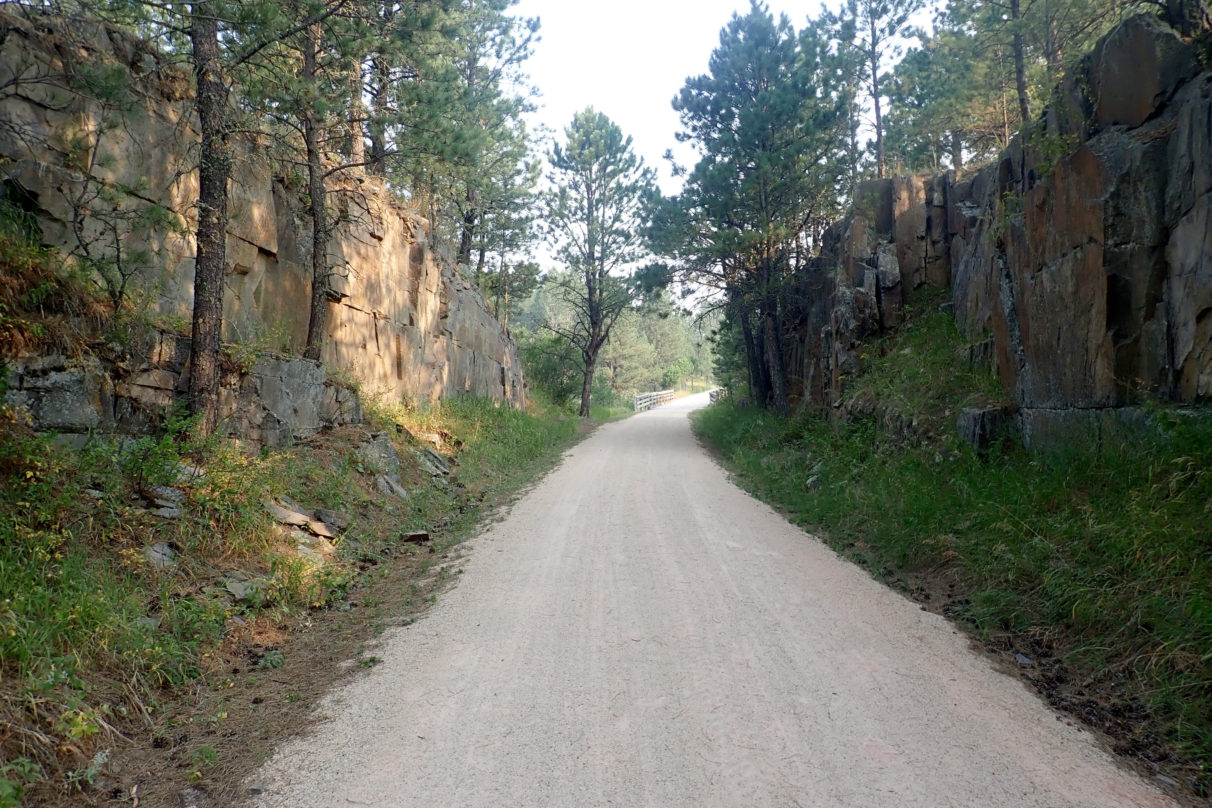
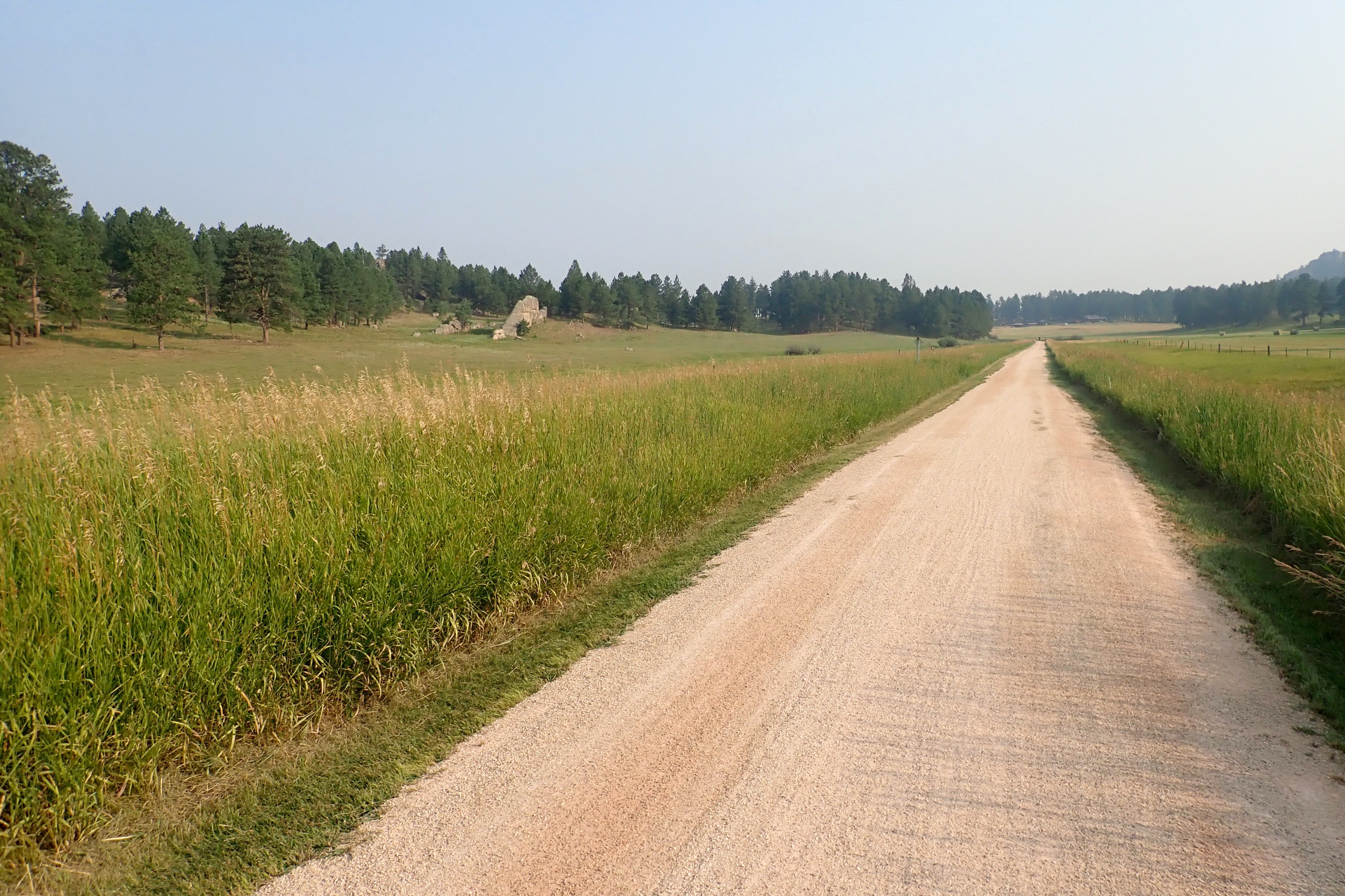
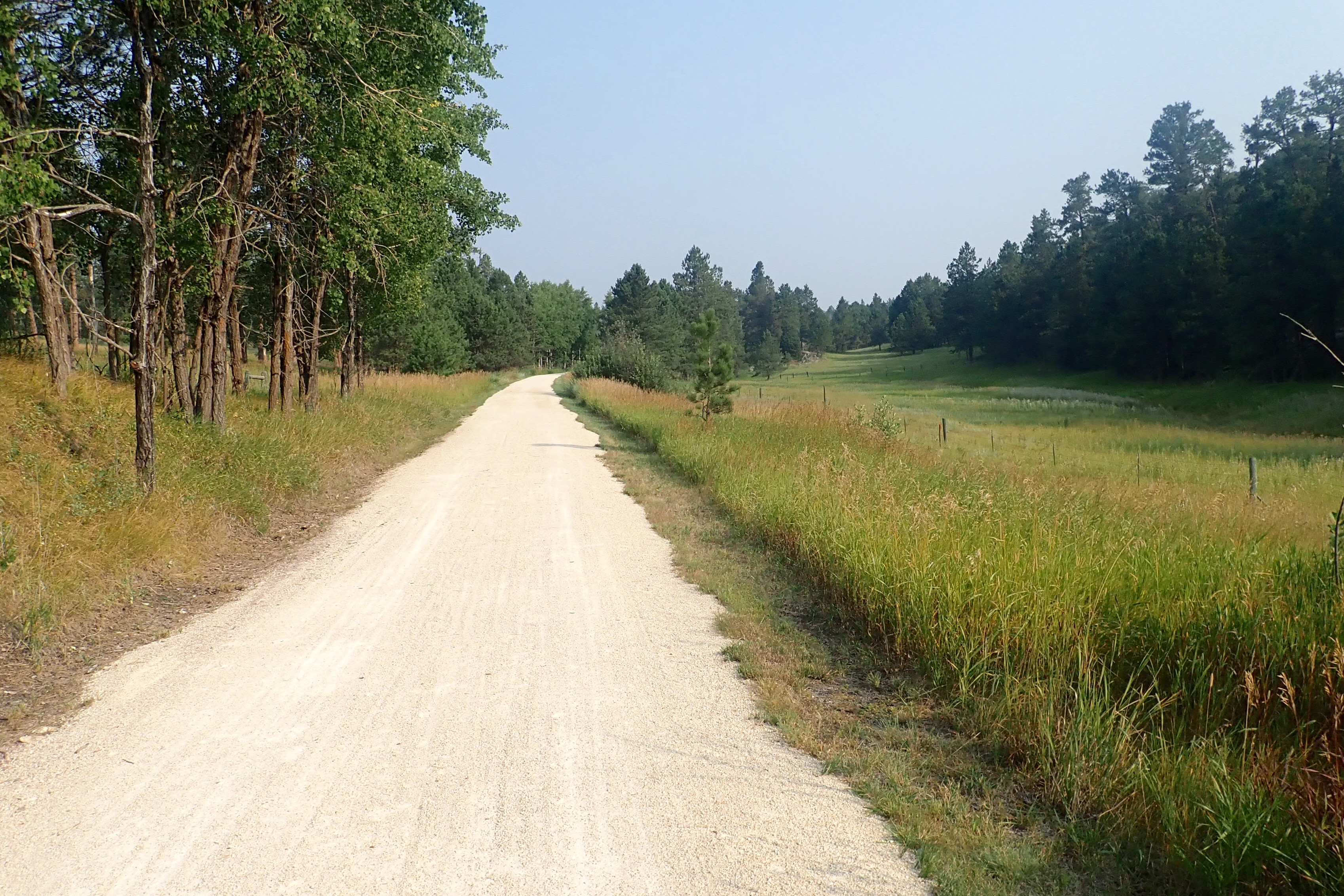
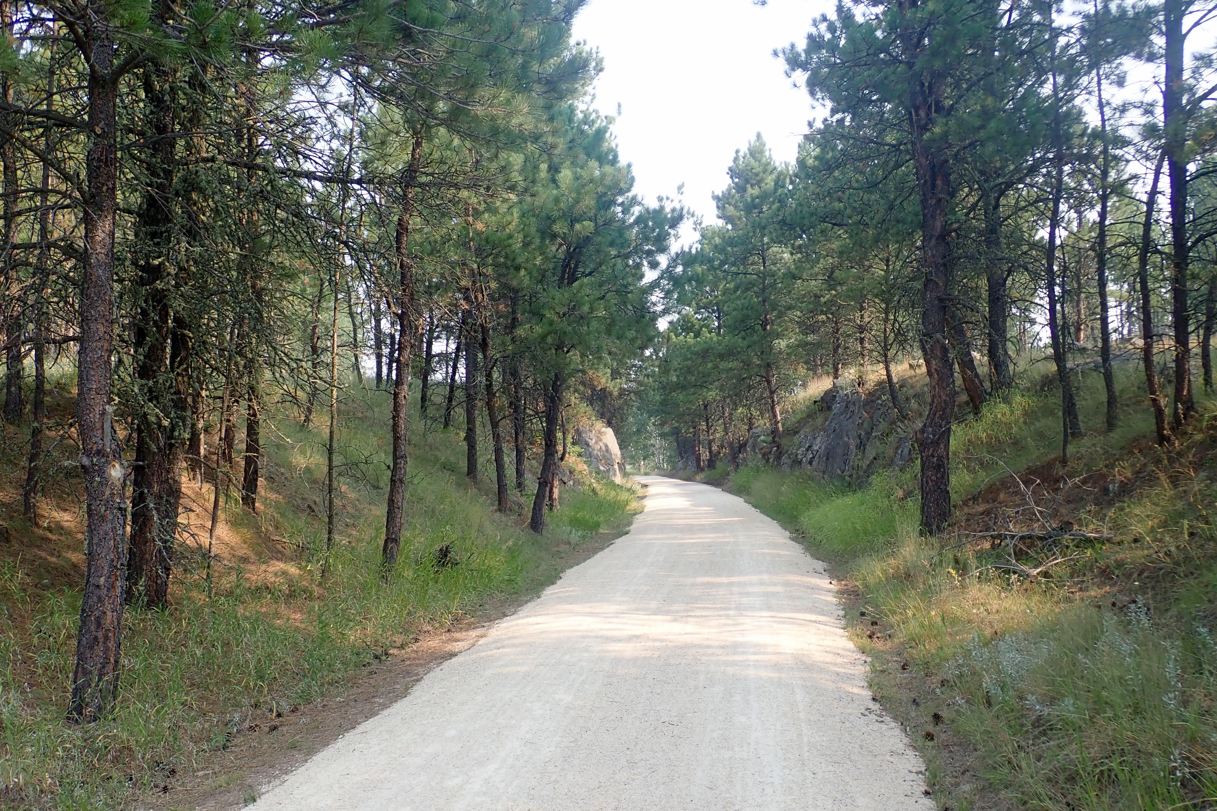
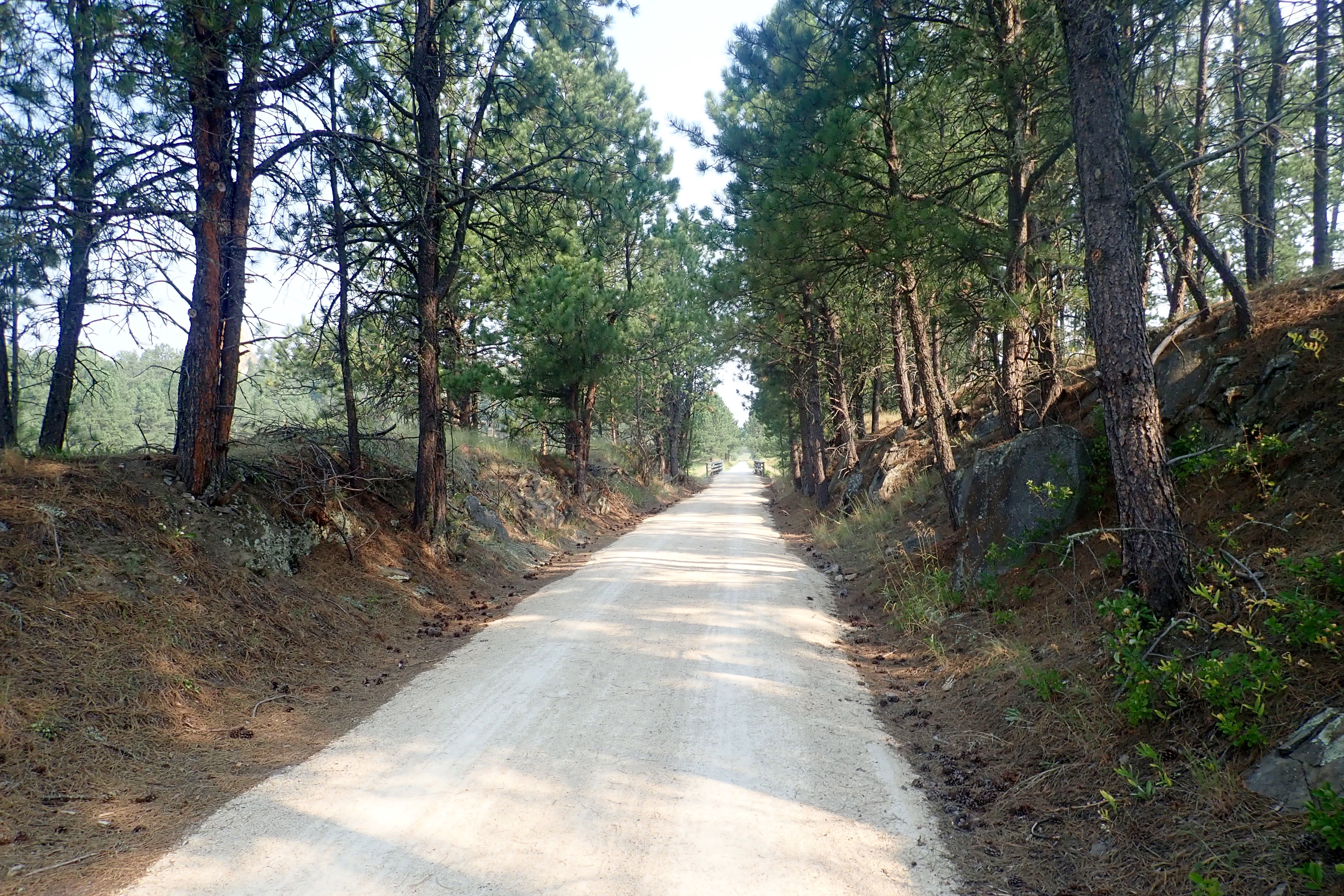
The first 9 miles would be uphill but (fingers crossed) not at a 4% grade.

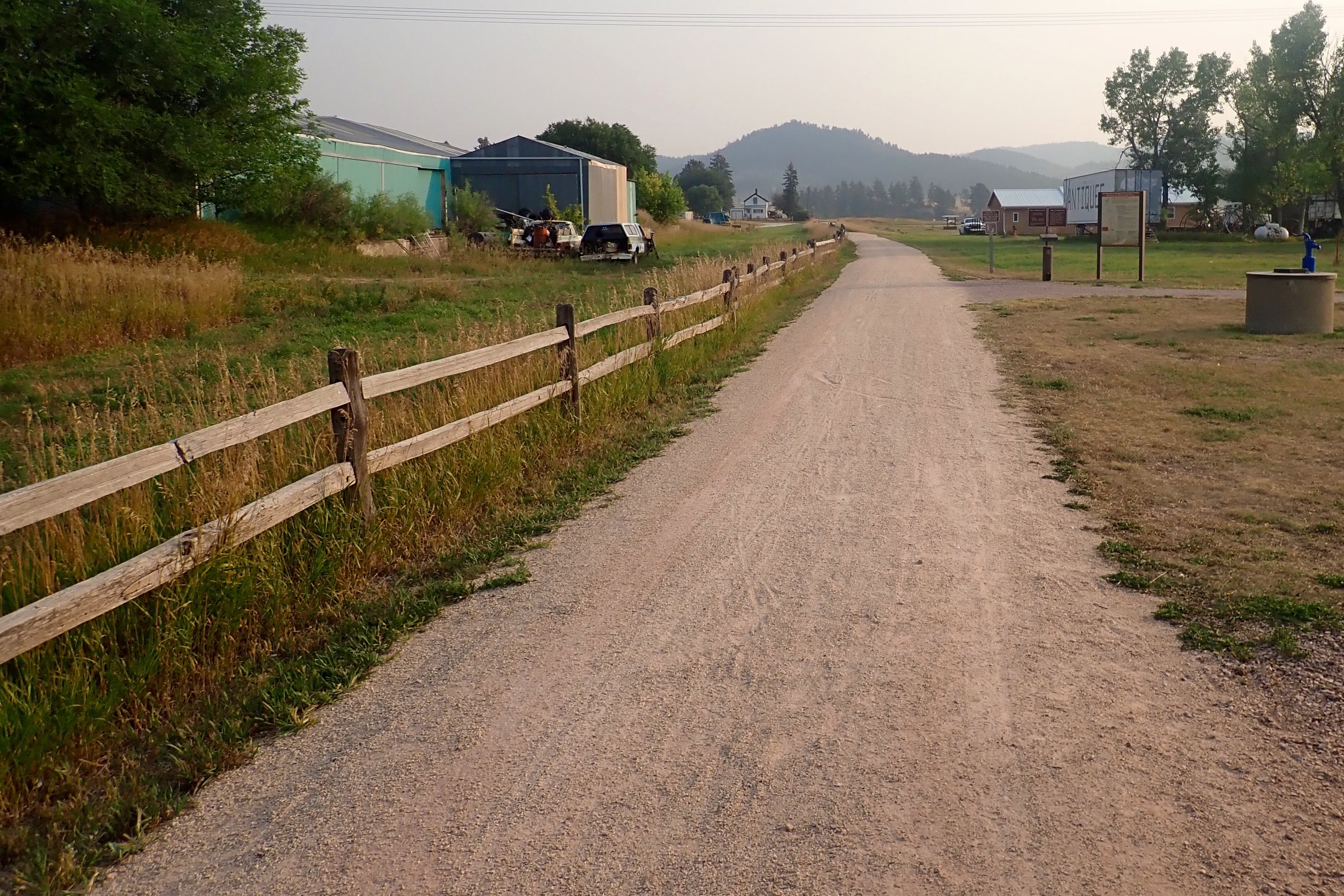
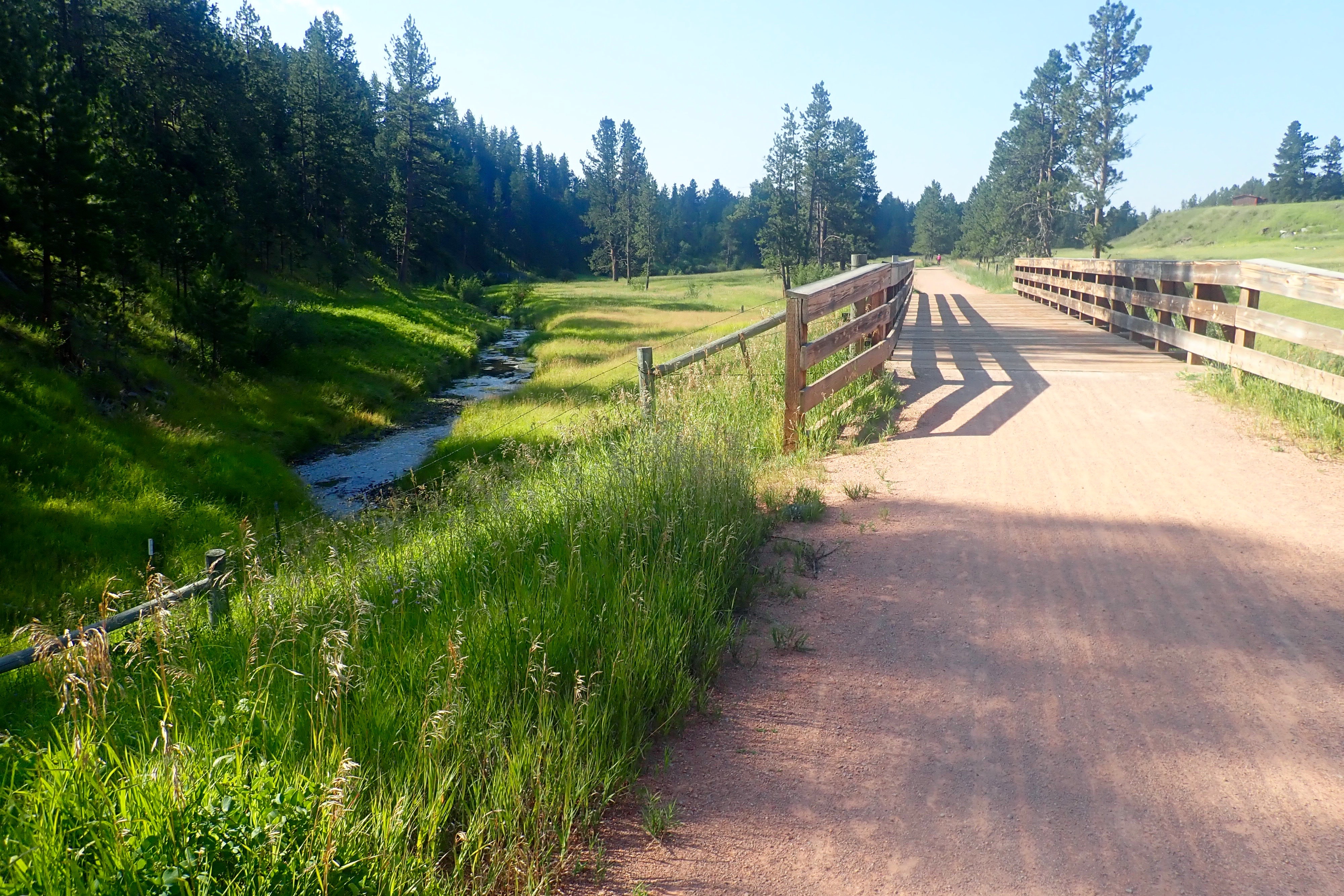
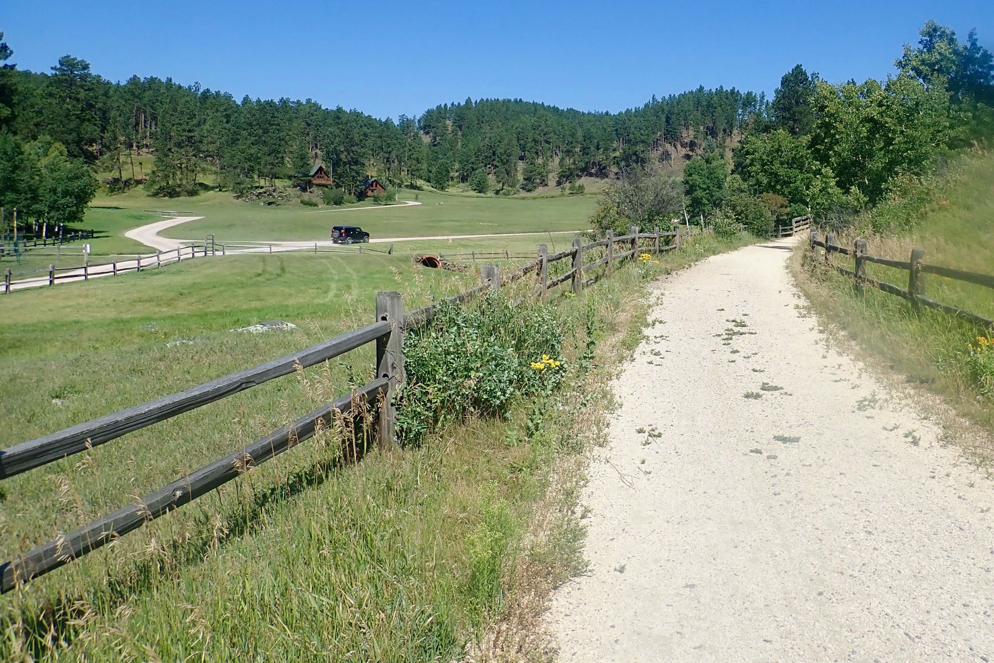
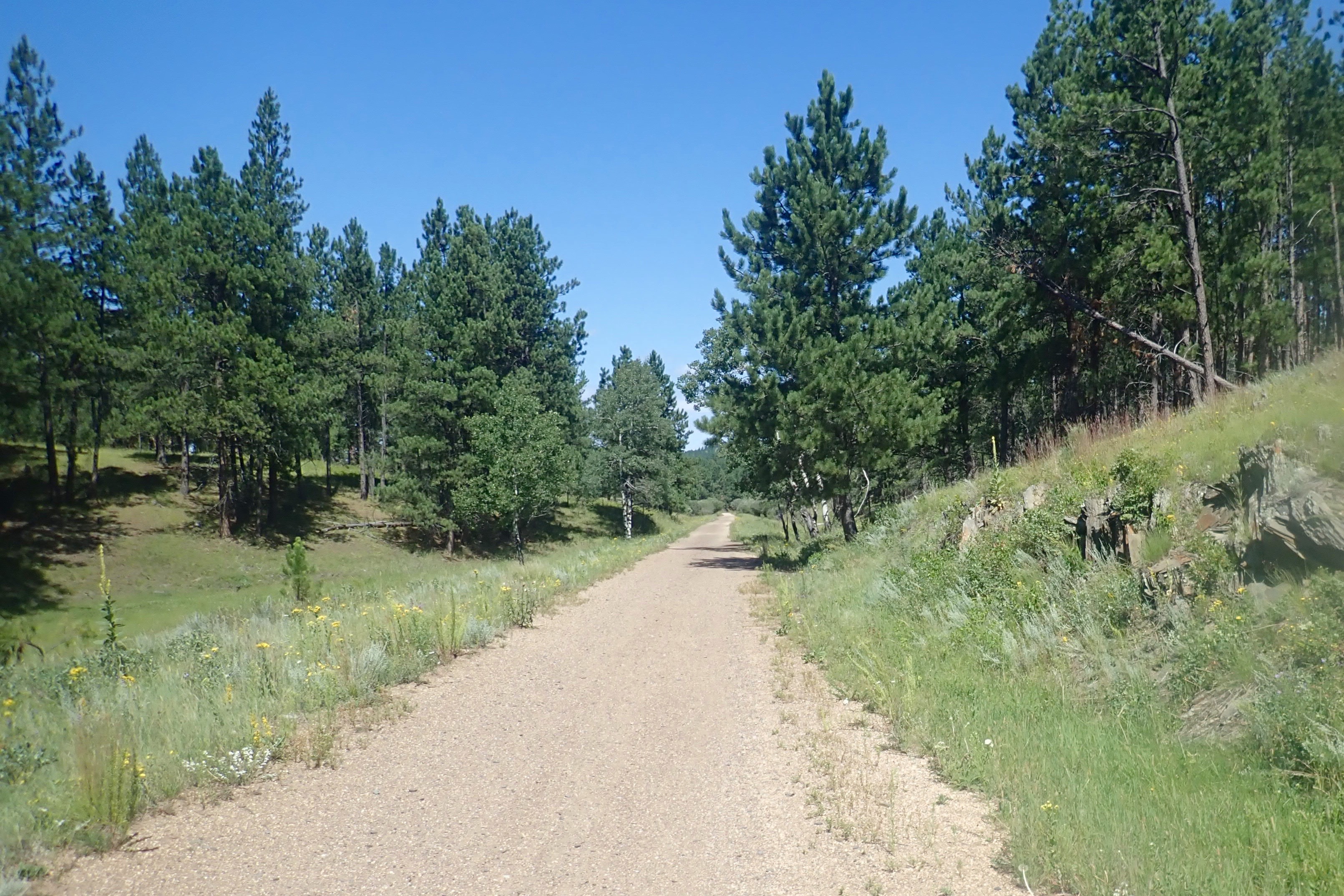
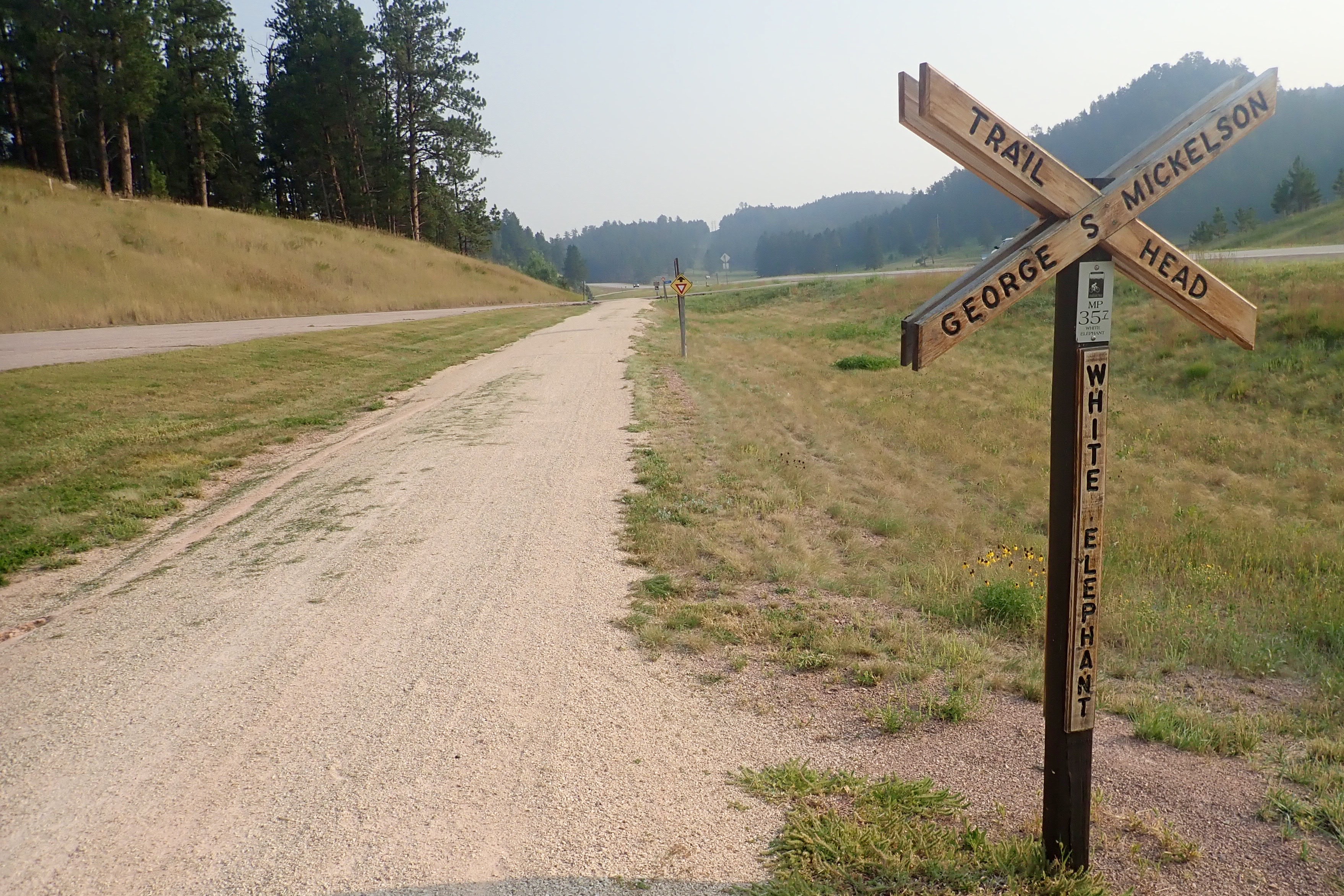
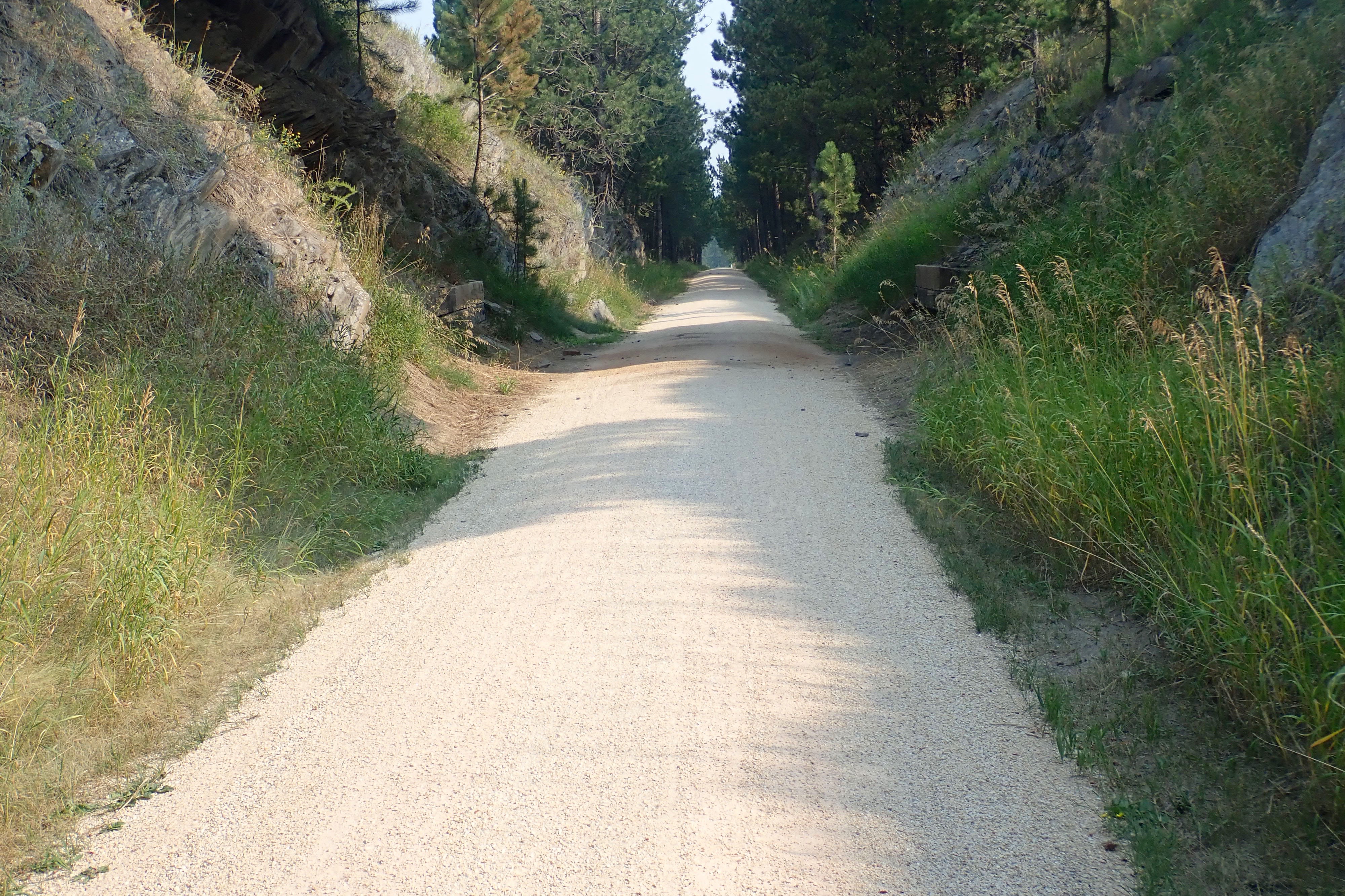
3.8 miles to the White Elephant trailhead, all of it along SR 385.

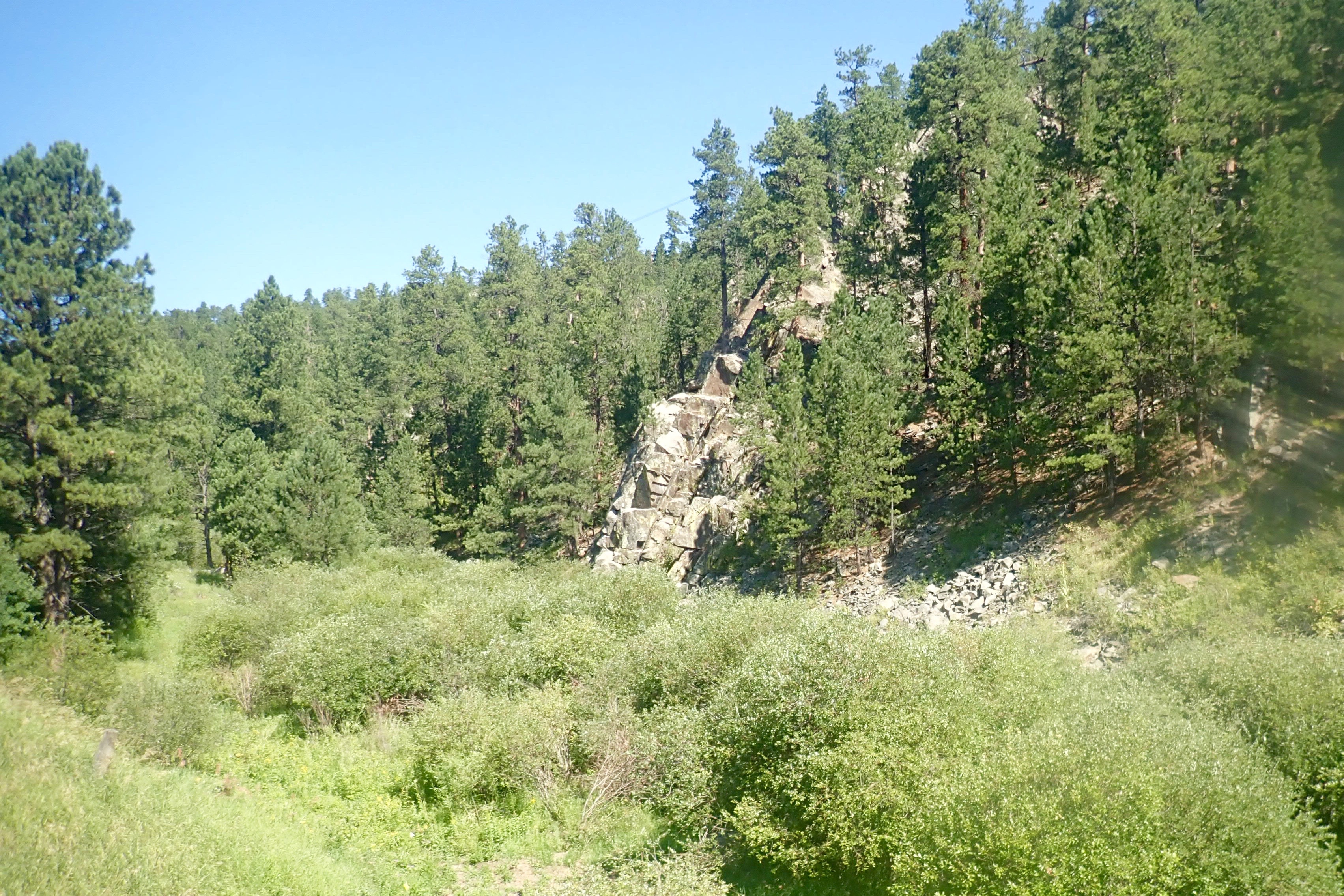
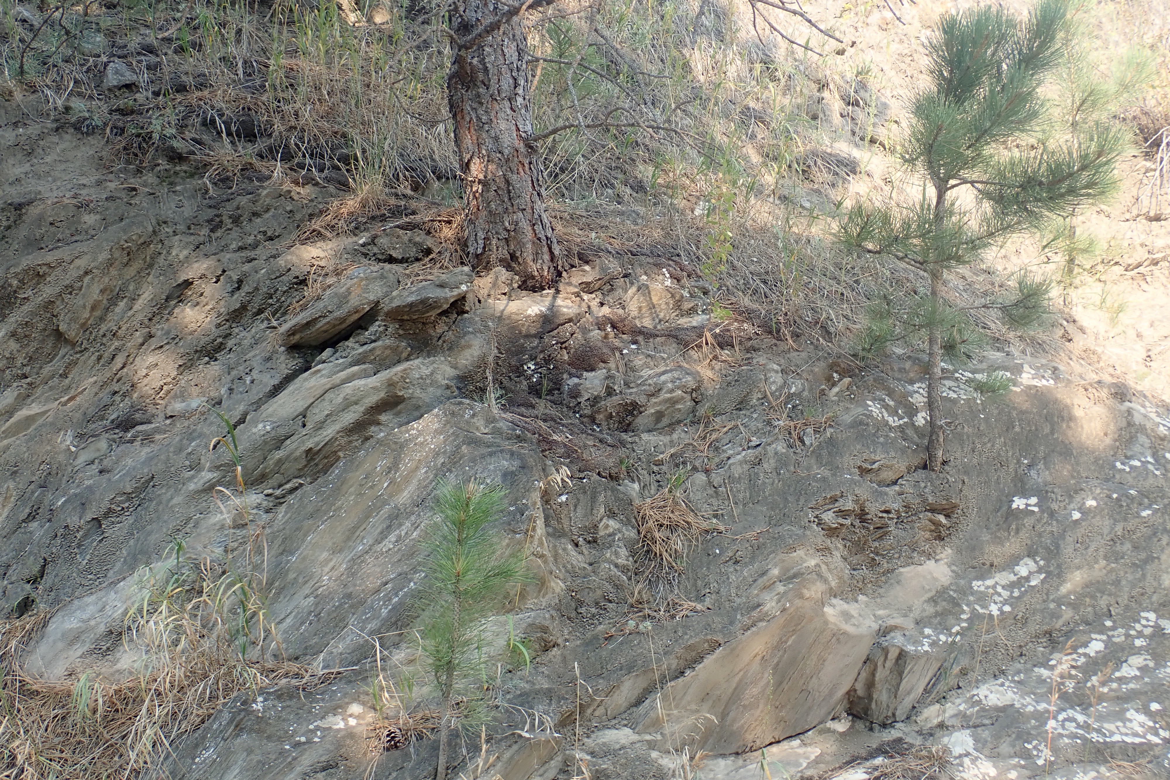
Three trees at different stages seemingly growing right out of the rock:

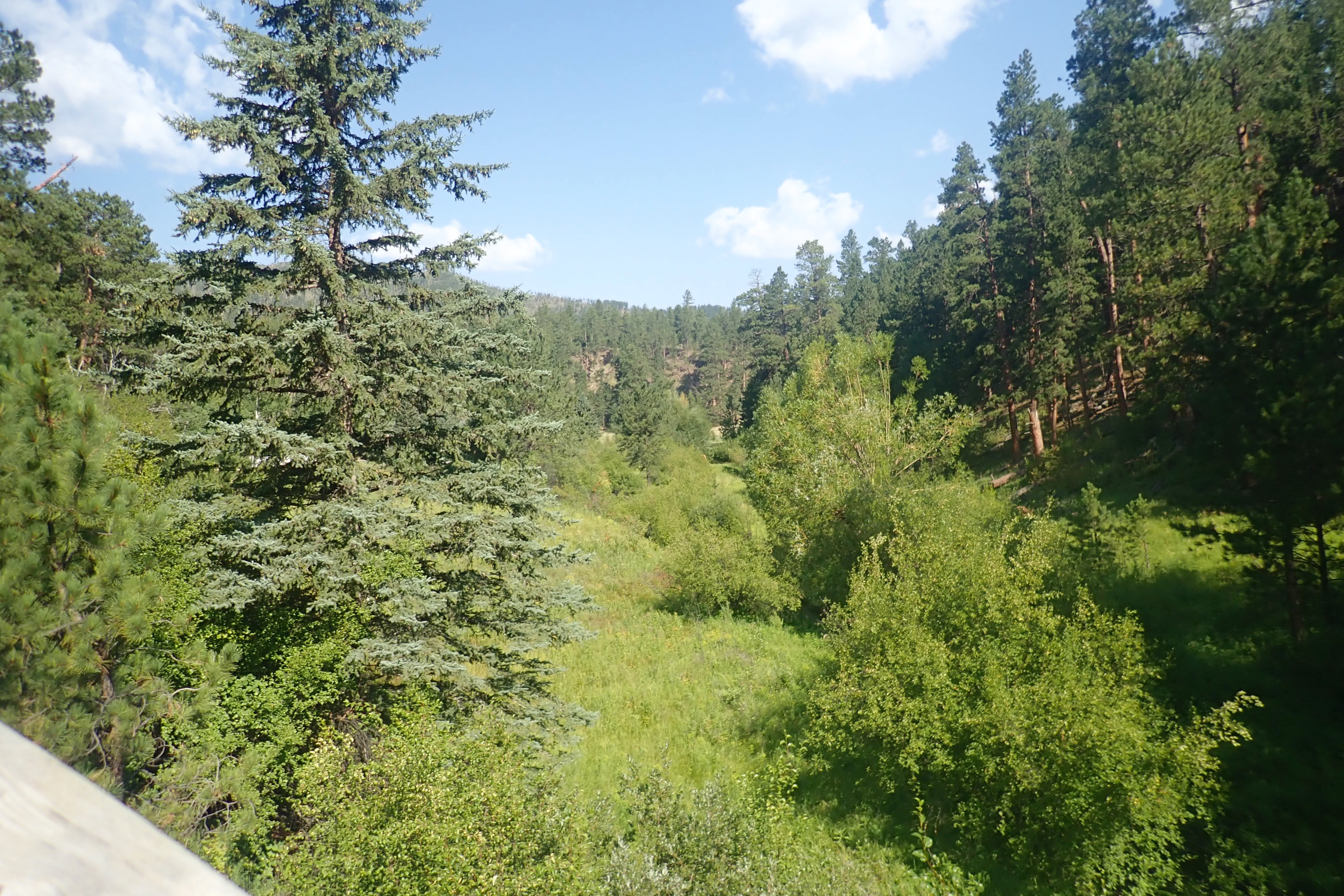
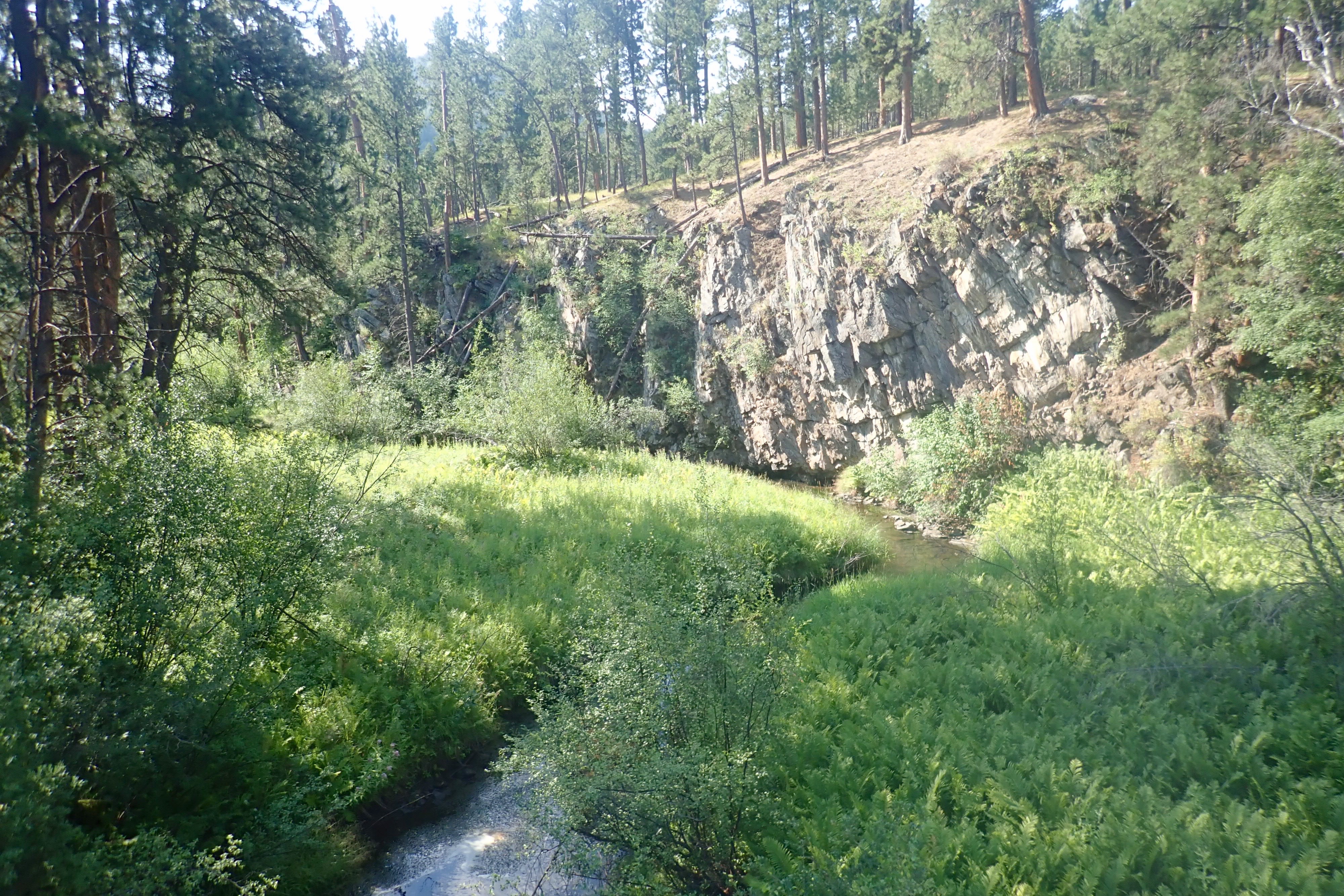
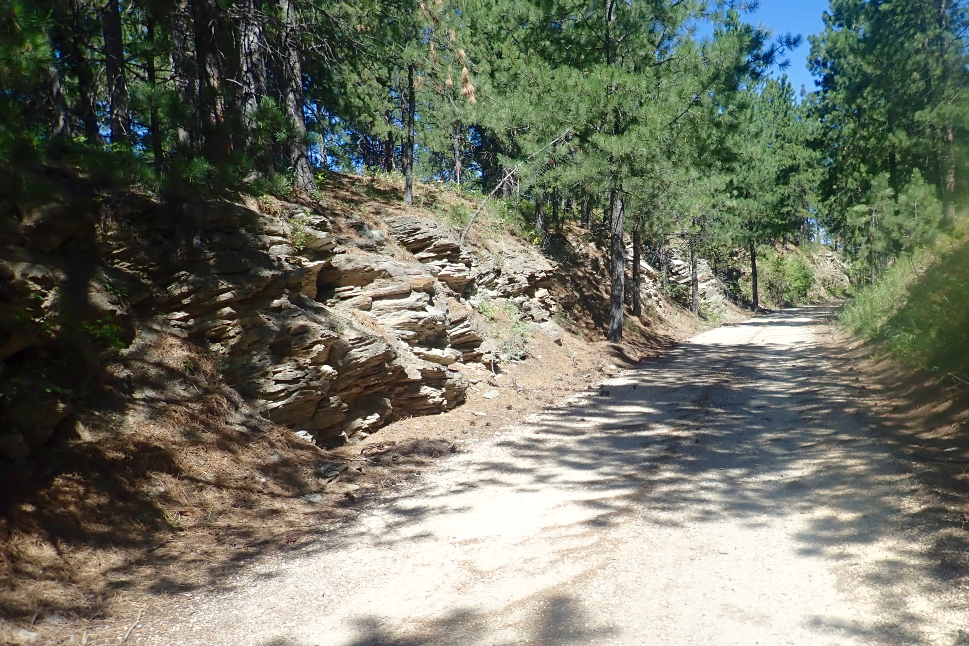
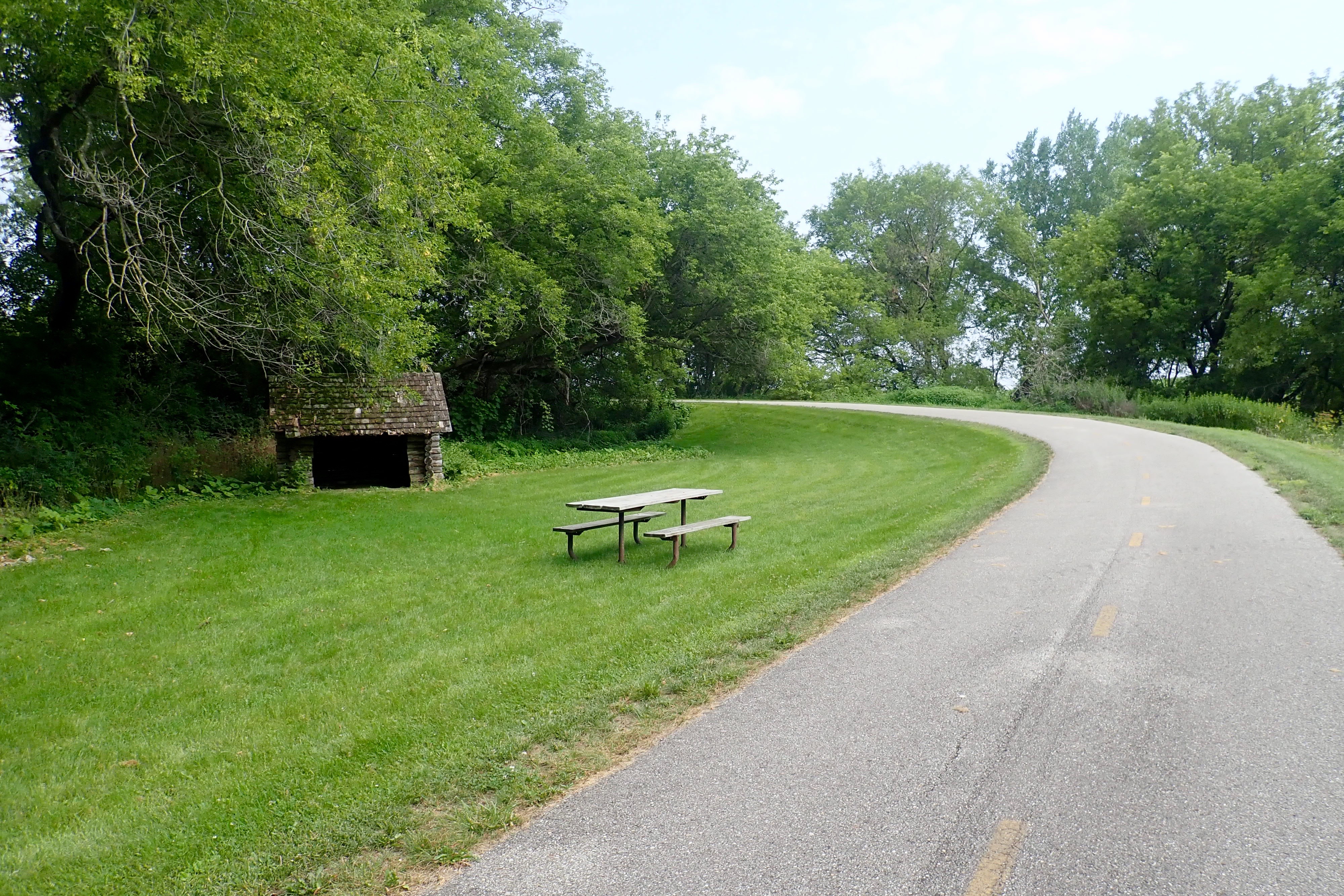
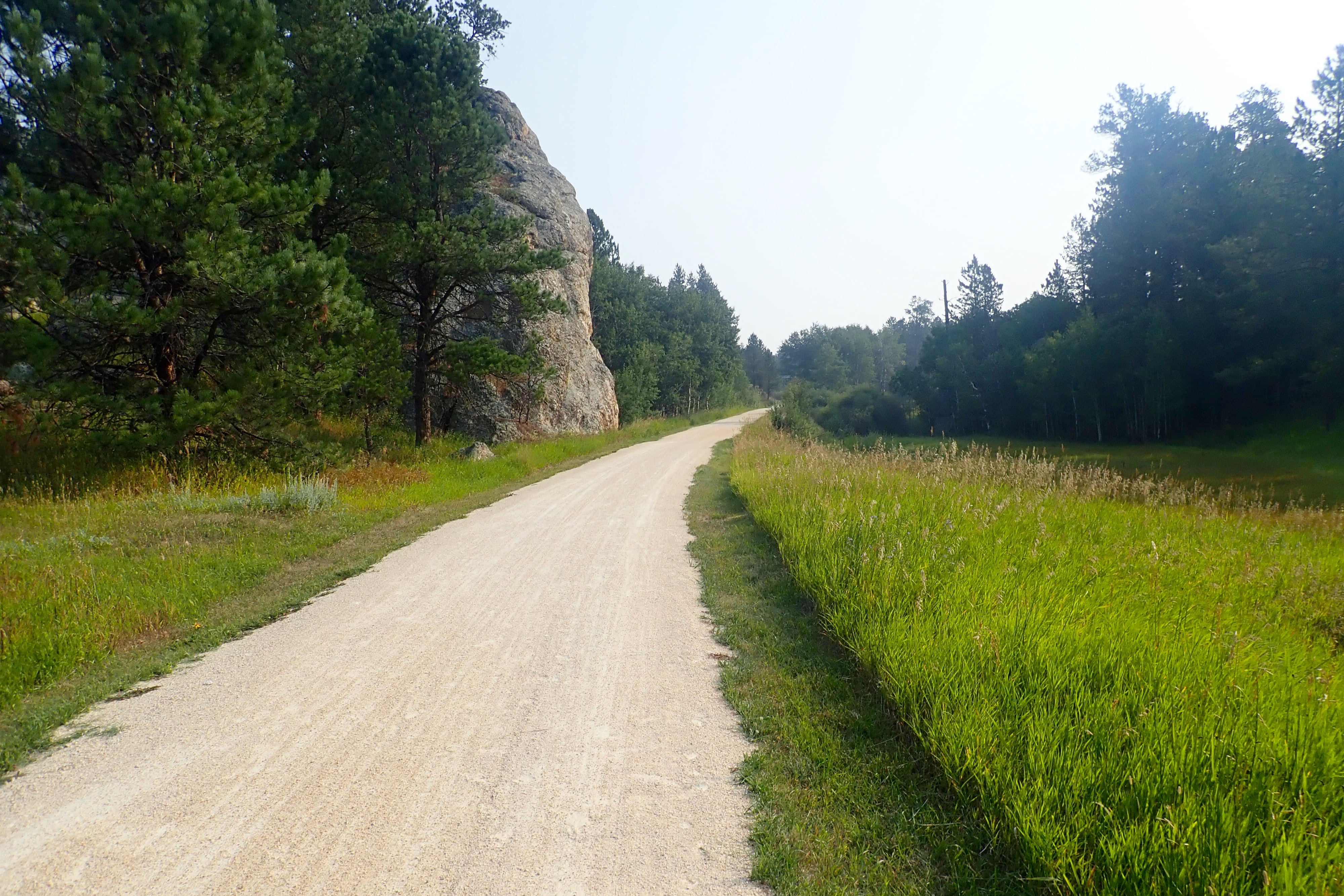
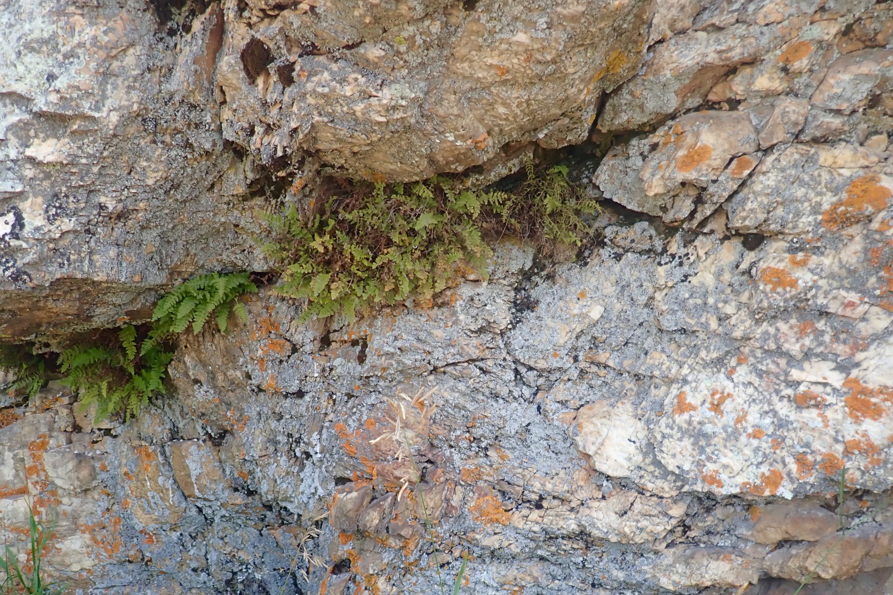
We stopped in the shadow of a gigantic boulder and that’s when you can spot rust-colored lichen and ferns growing in crevices:

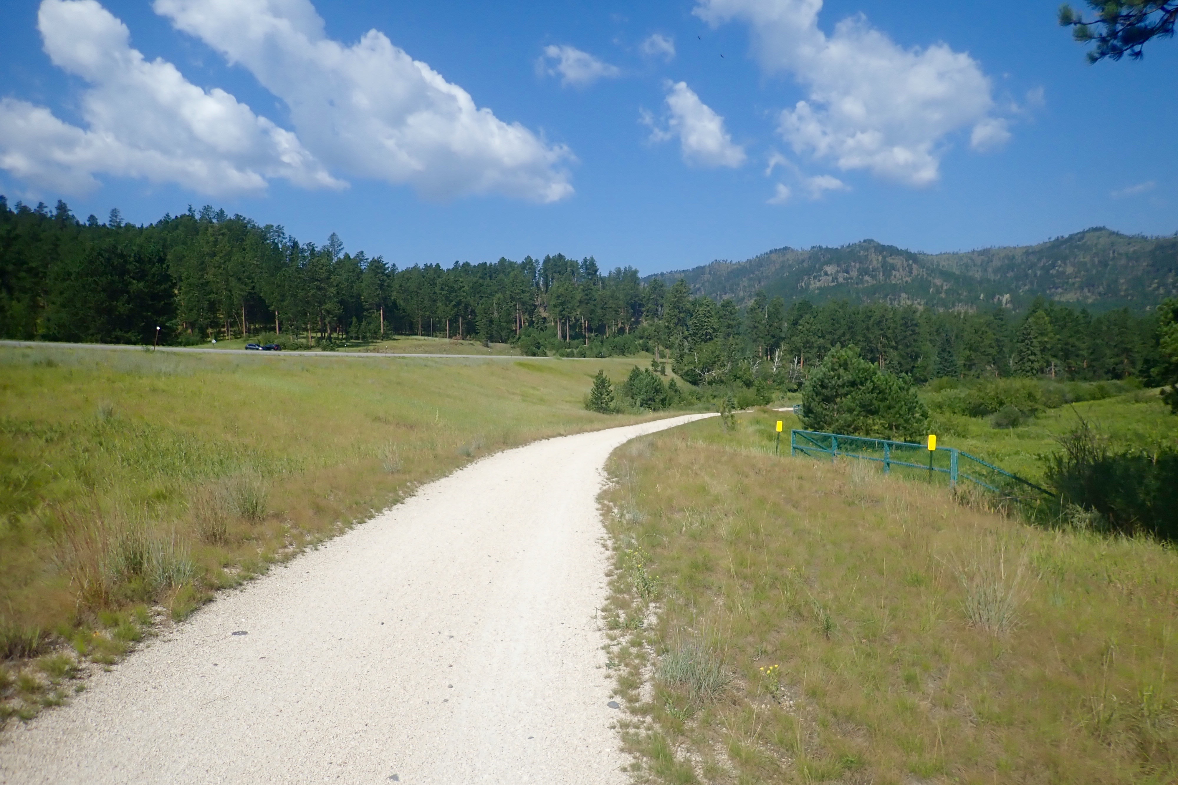
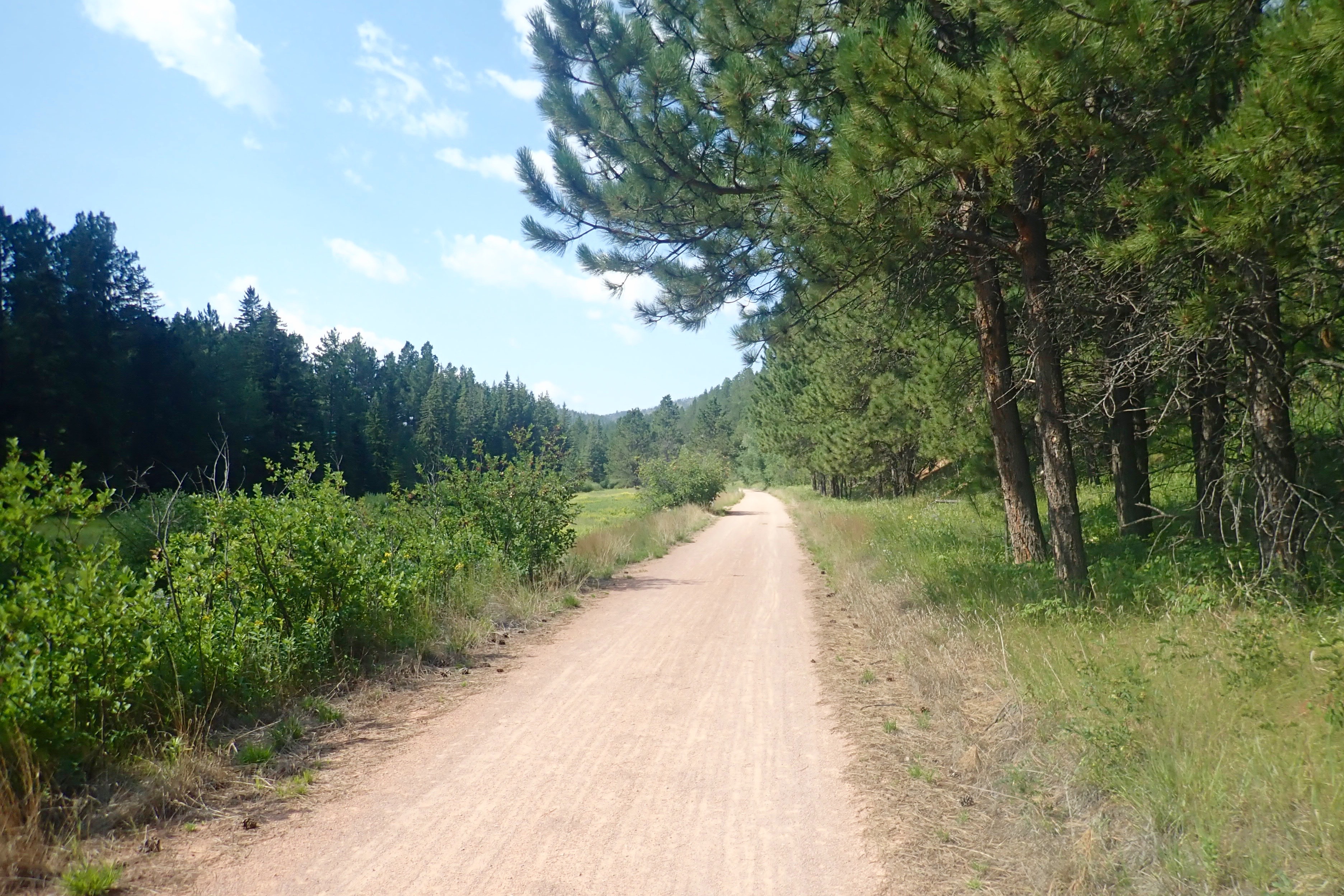
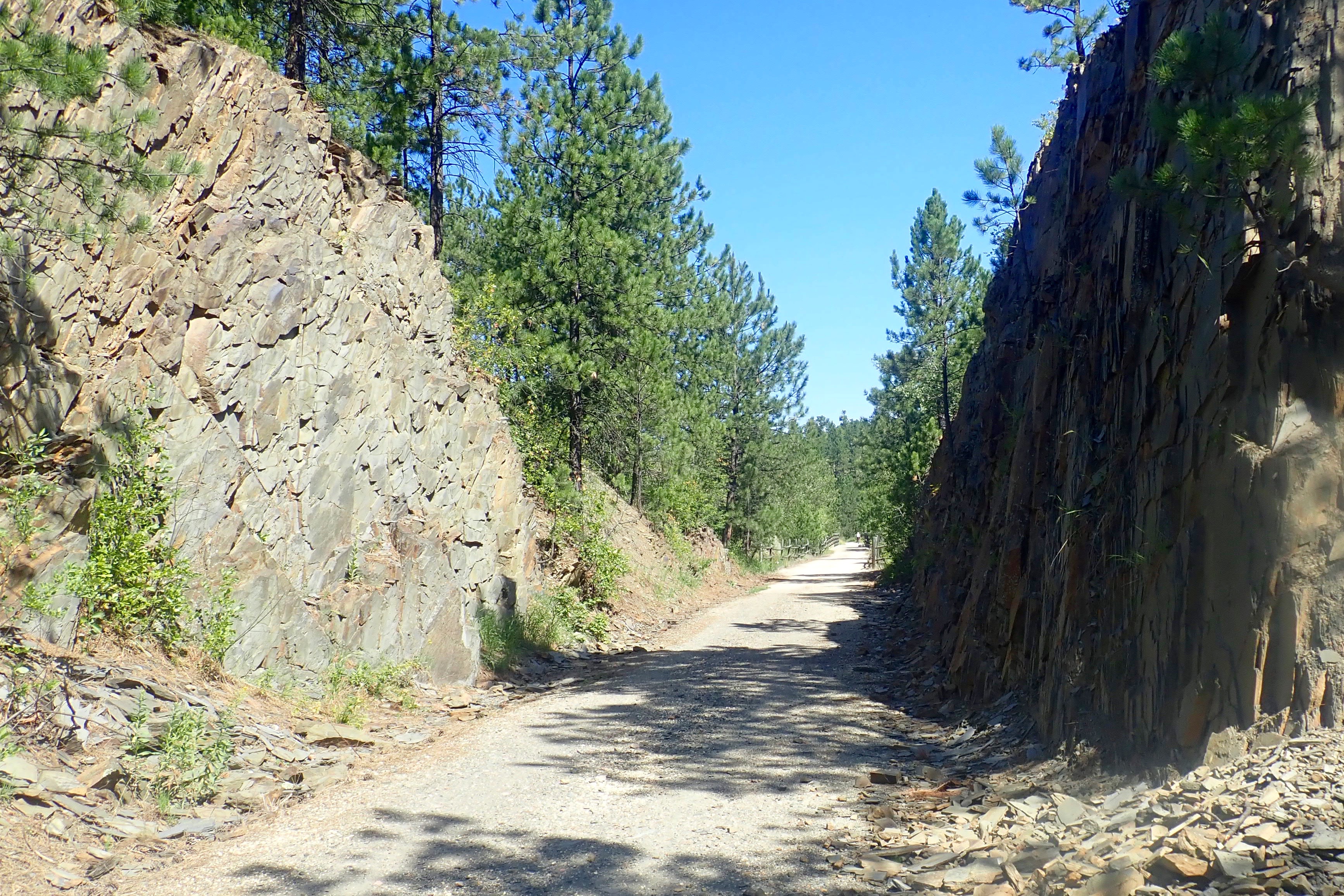
Almost to the 9-mile point and time for a little downhill run into Custer – therefore no picture-taking.
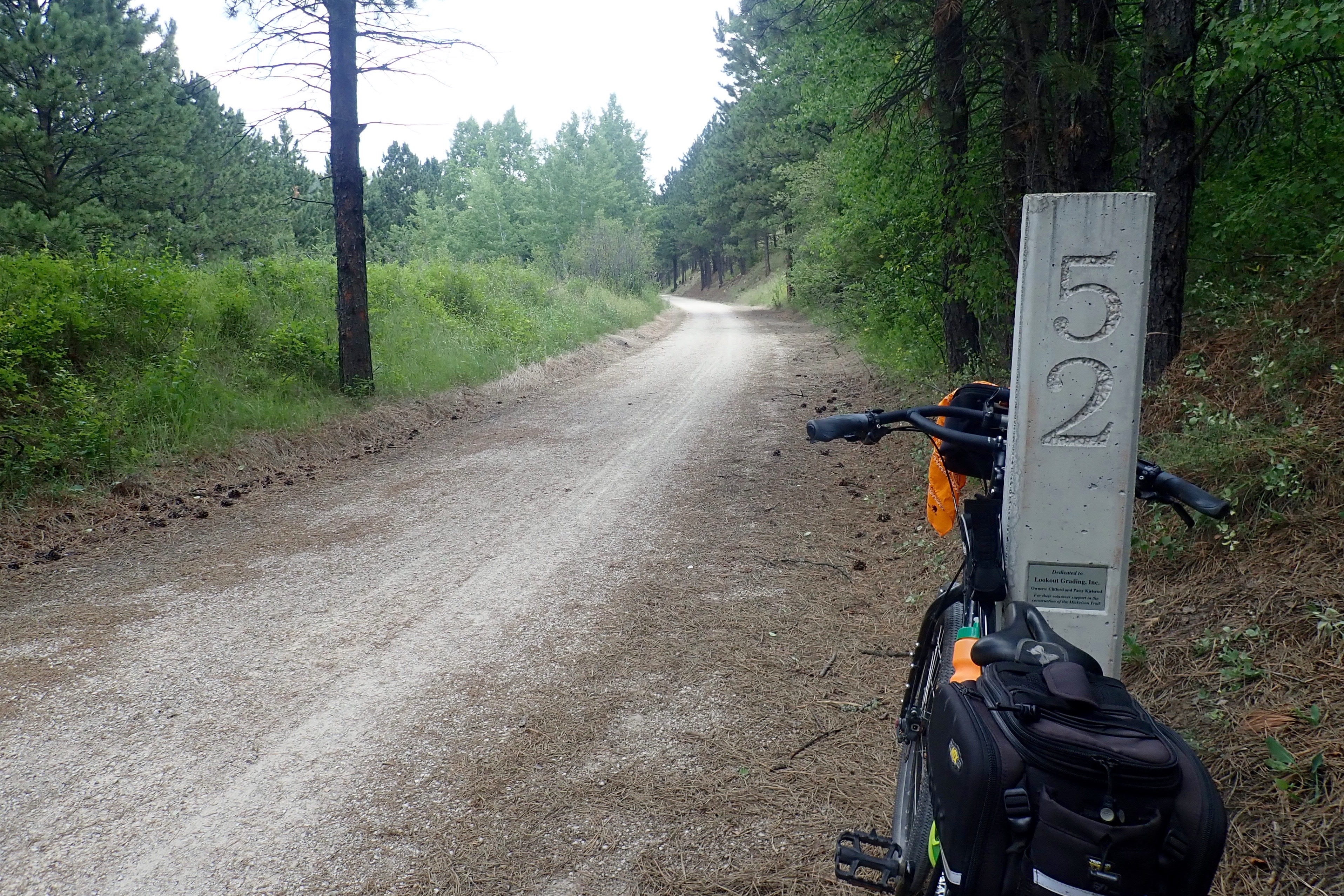
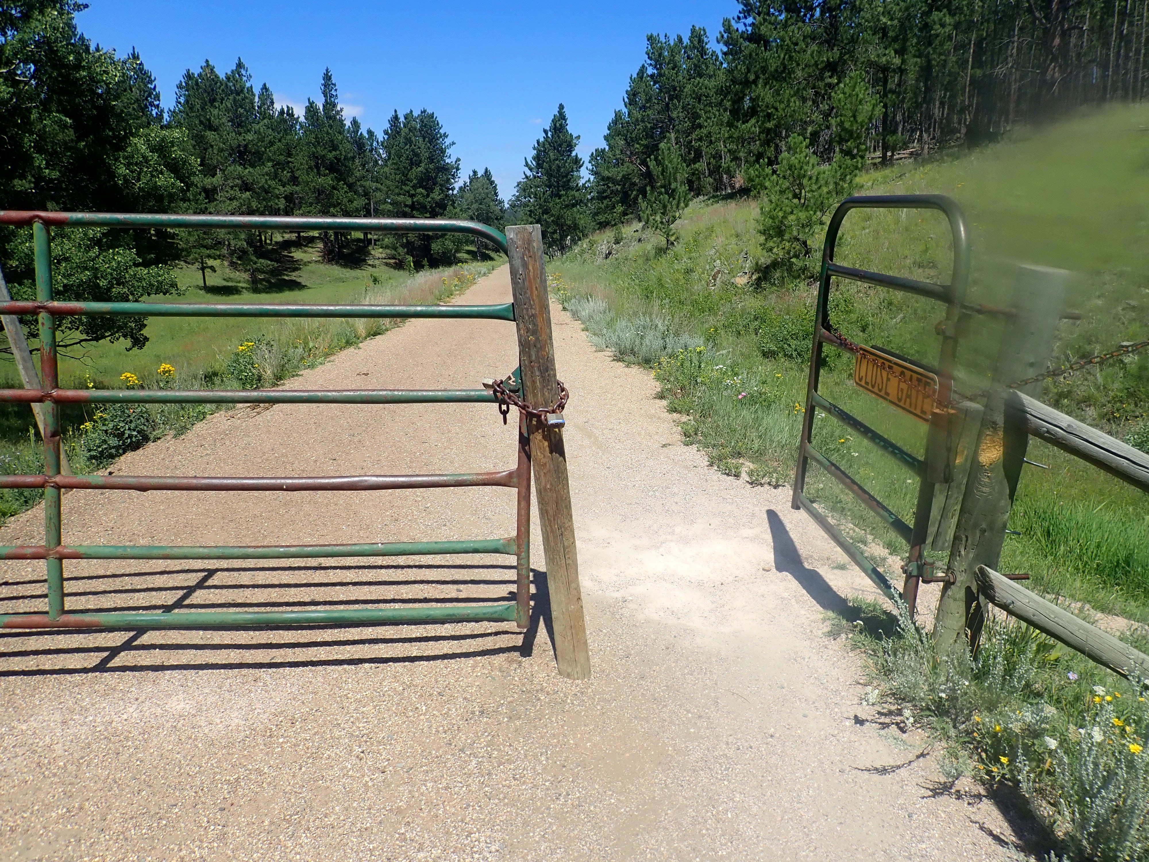
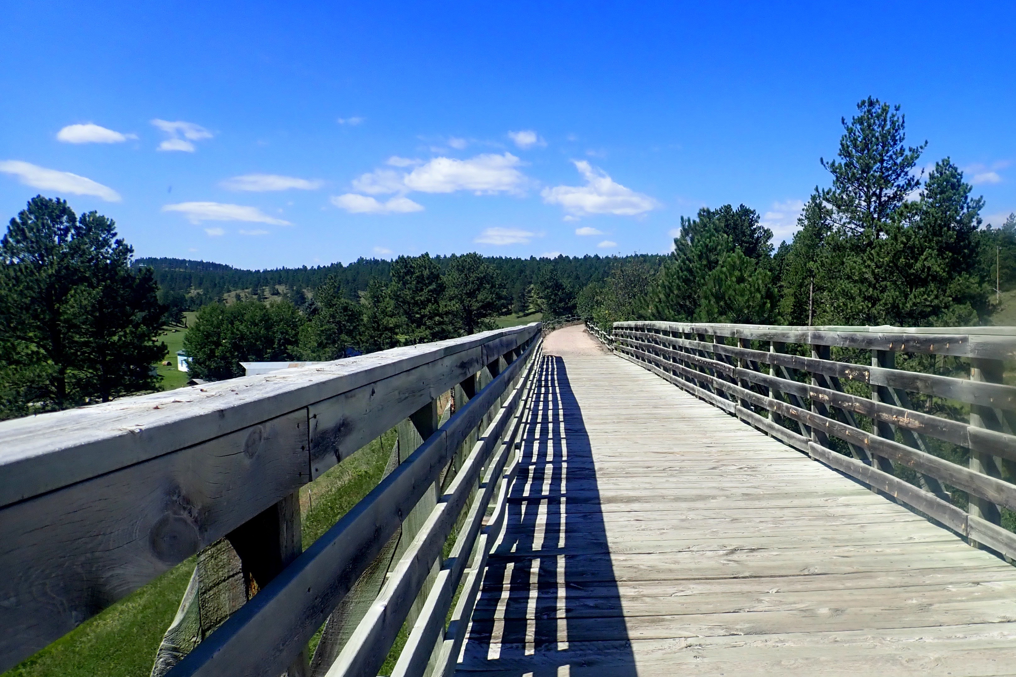
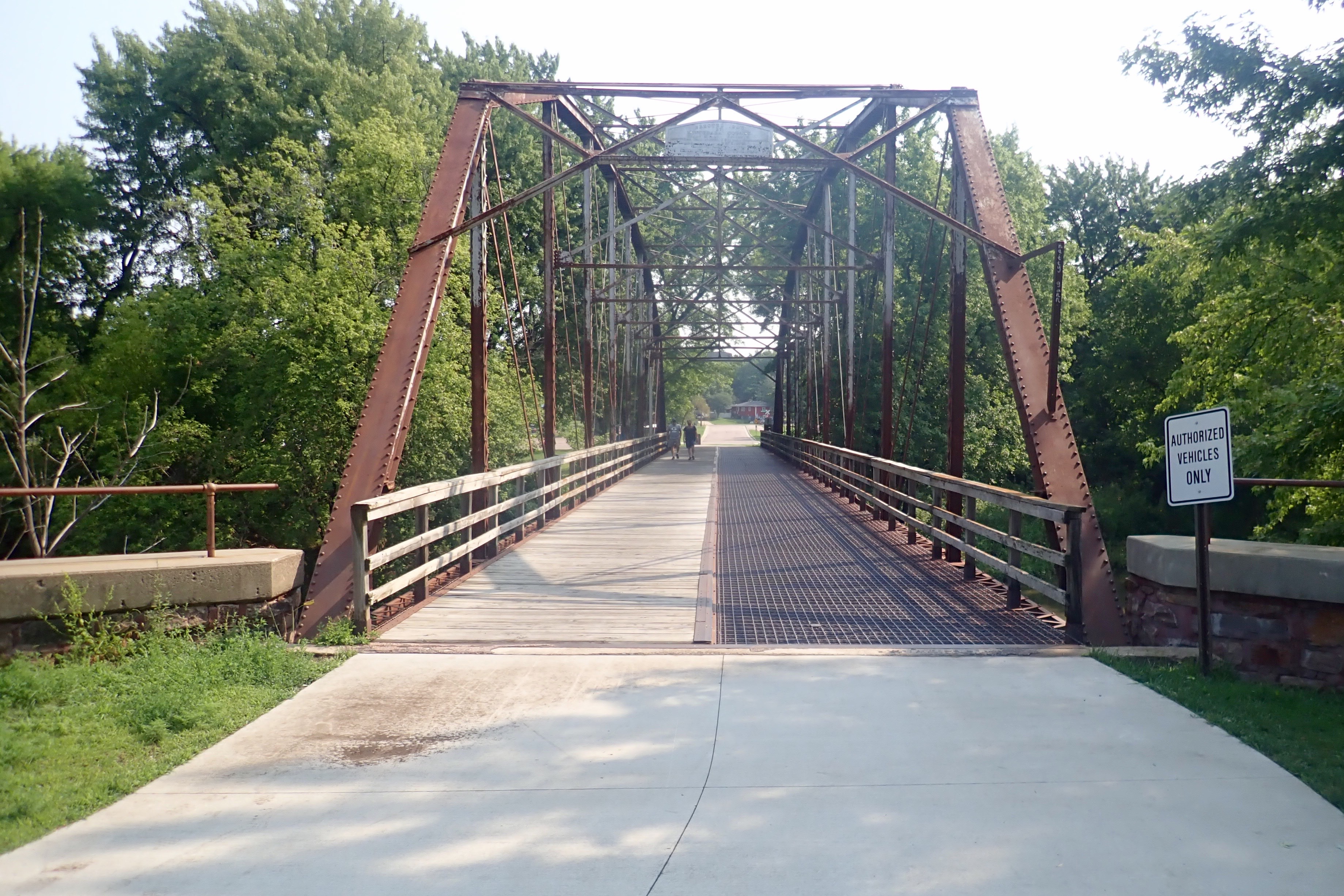
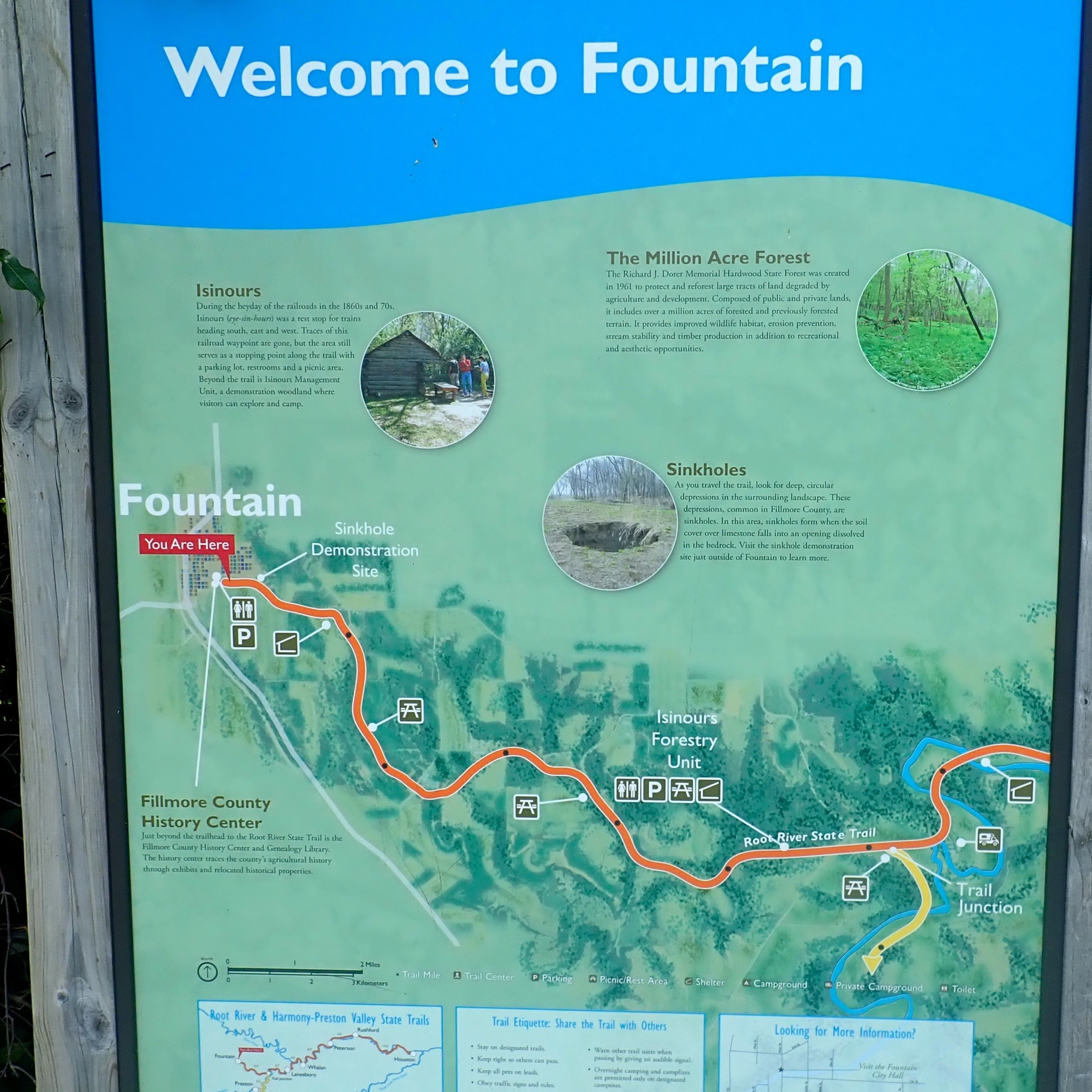
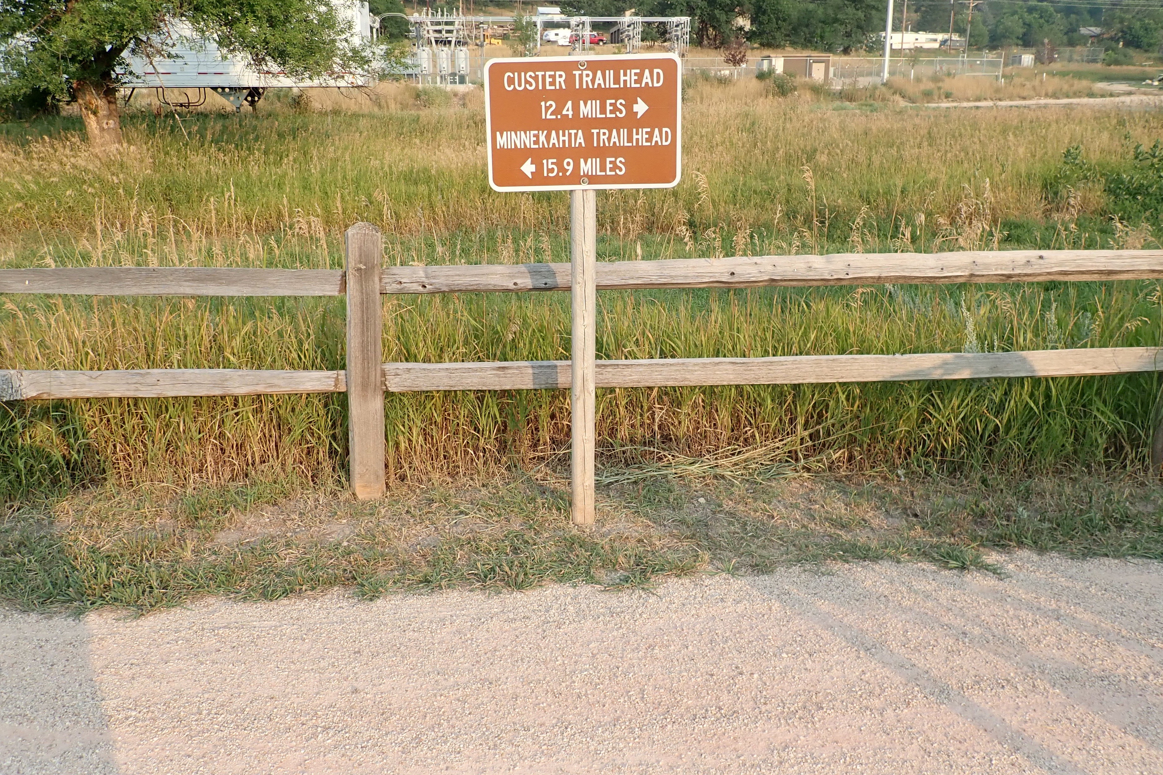
Custer trailhead at

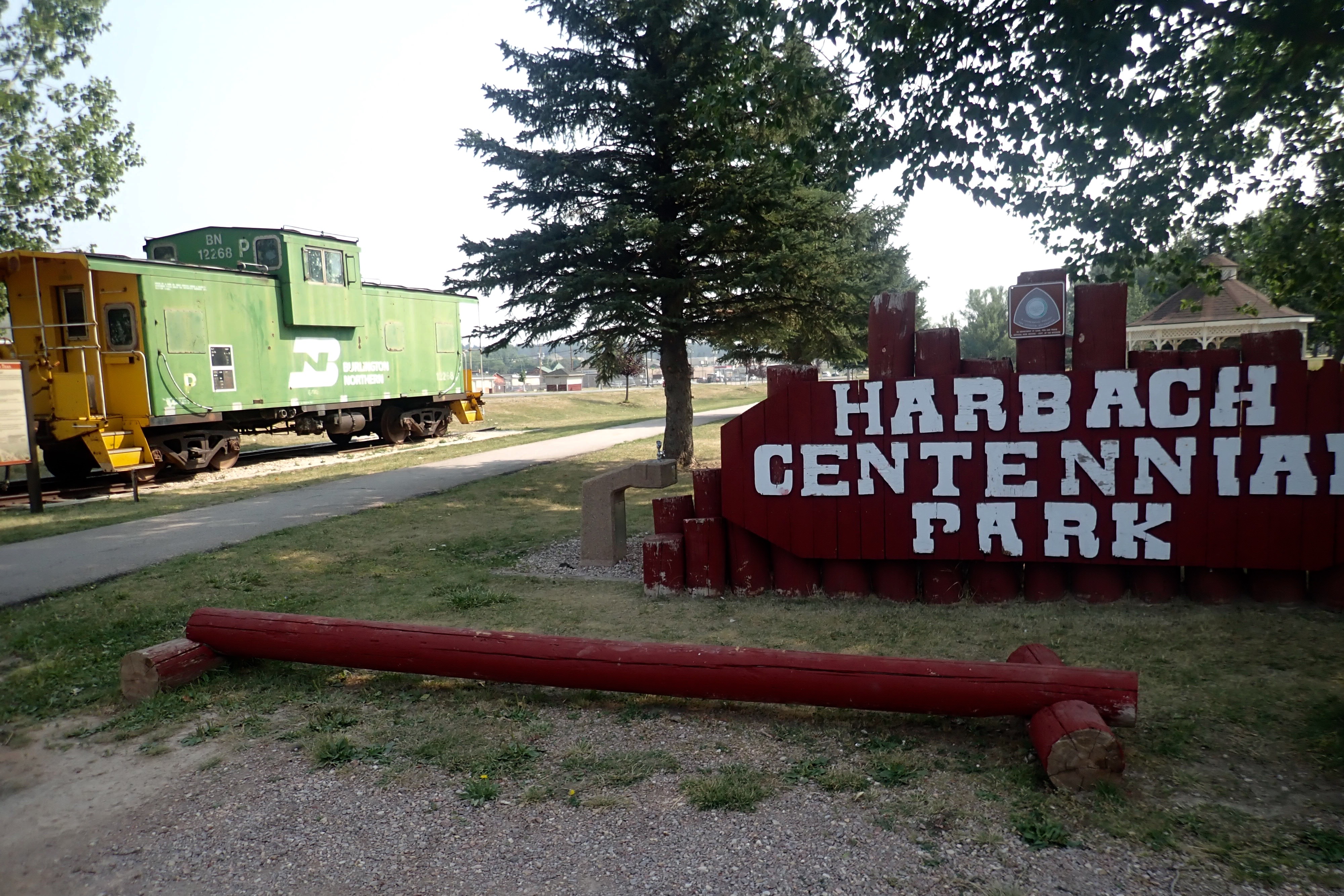
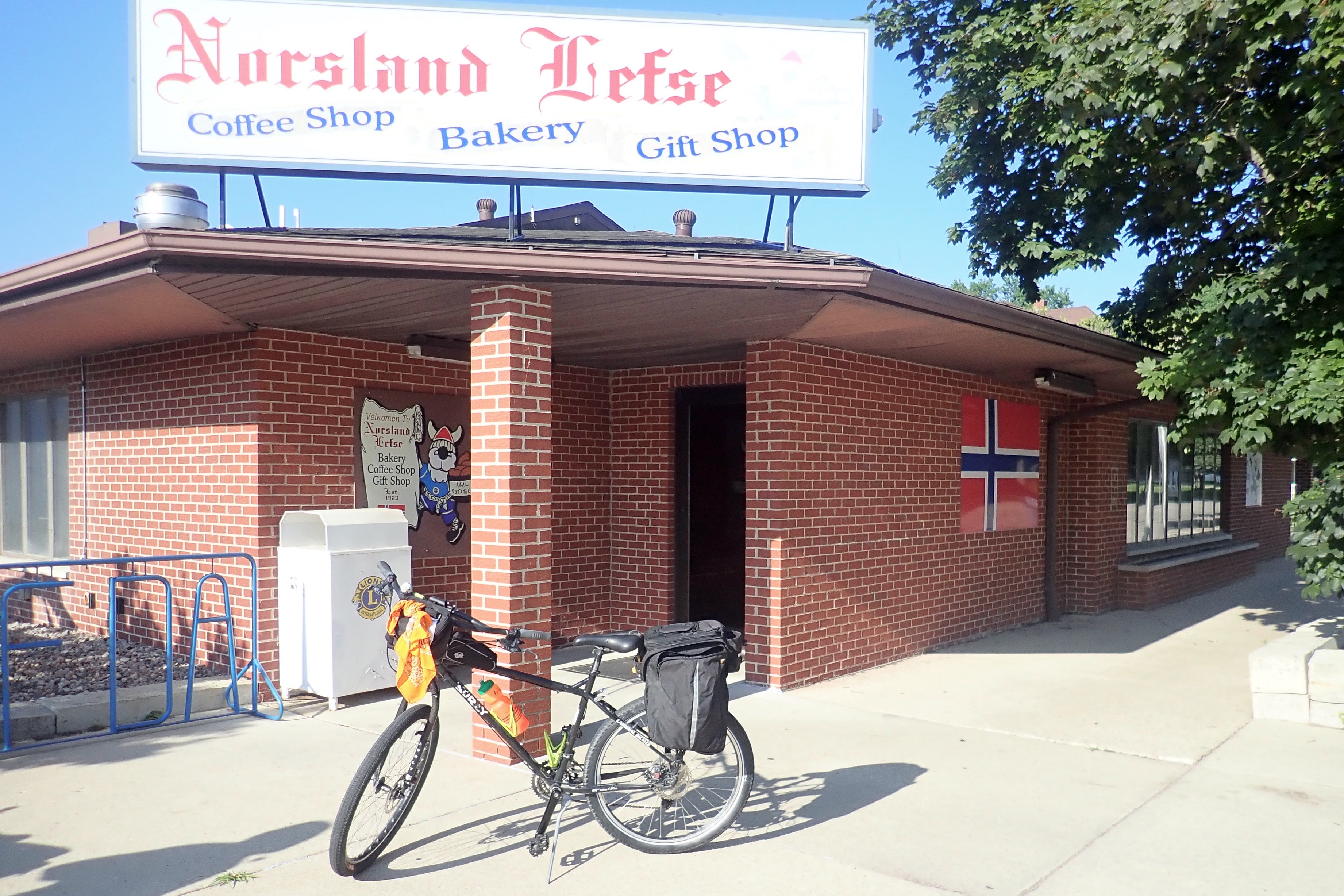
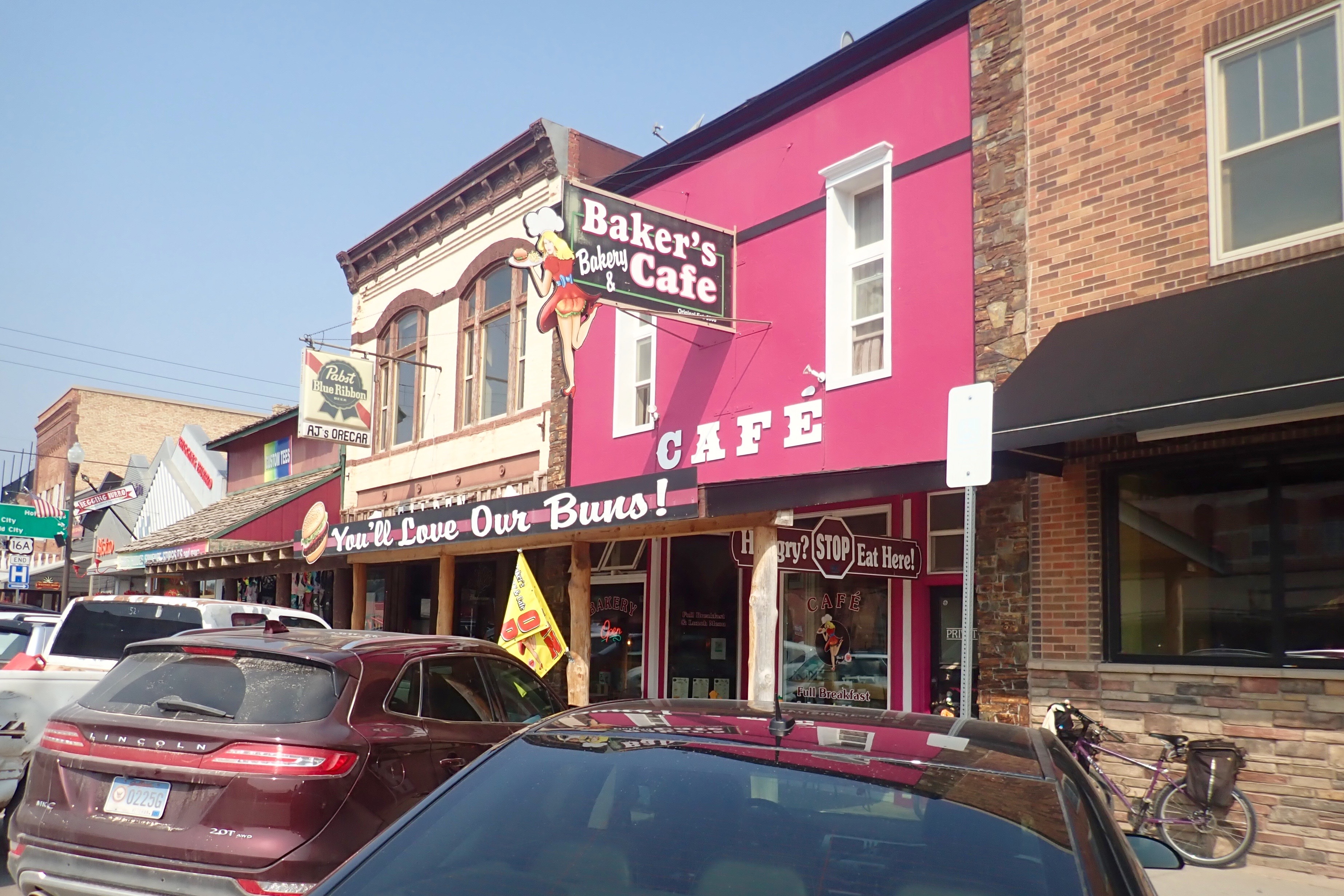
Today was the hottest day of the week – 93 degrees by noon. Not my kind of riding weather! We stopped here for a rest break, cold drink and something delicious from the bakery.

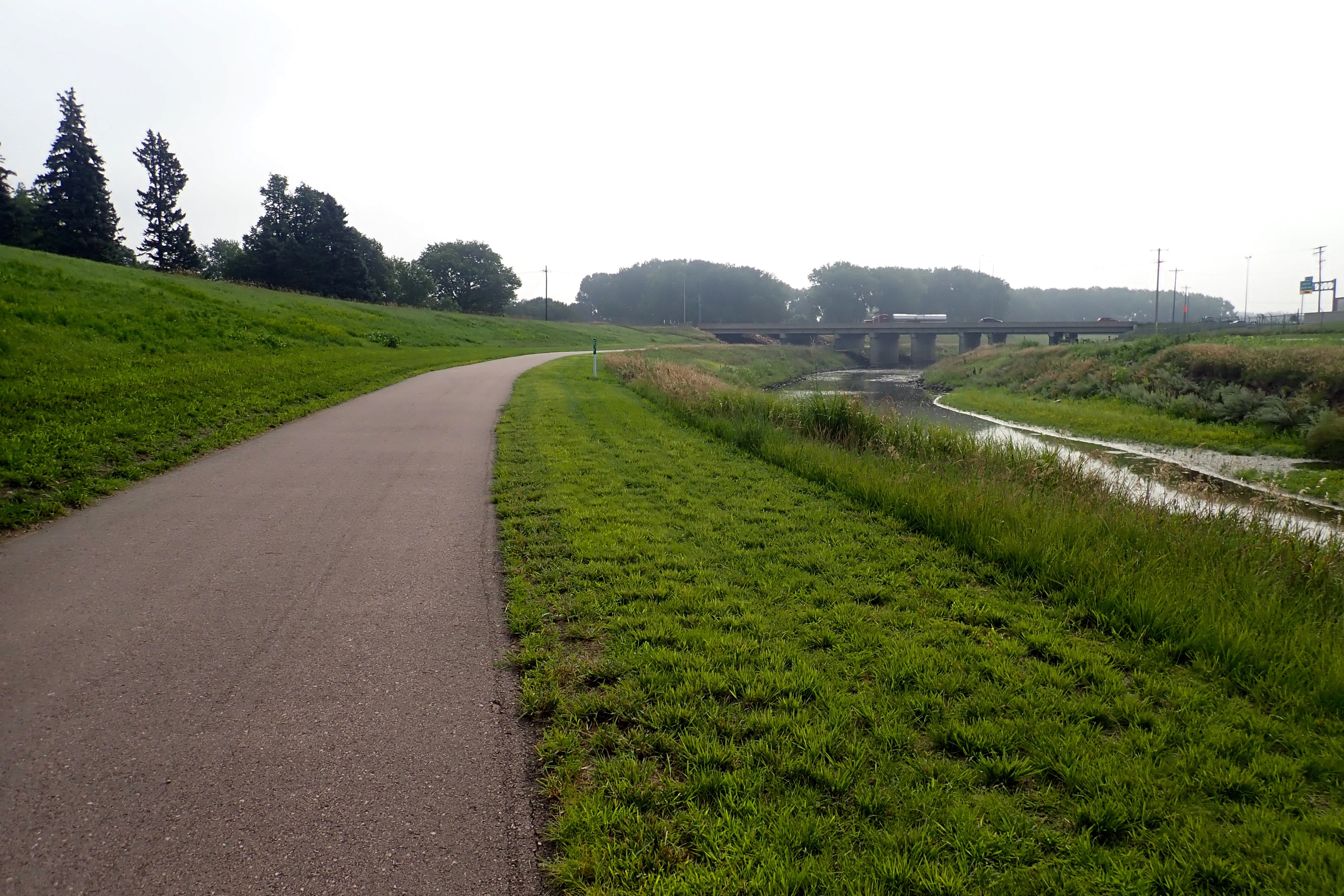
Time to ride back. It was now officially HOT! I put some ice in a rolled-up handkerchief and tied it around my neck – that helped. 3-mile uphill climb out of Custer then what should have been a nice downhill run back to Pringle. But the wind changed and we were fighting a 15 mph headwind. Darn. We were both rather spent by the time we got to Pringle. 25 miles total. Ugh.

Mickelson Trail MM 60-52

We rode south this time from the campground. Uphill again. Still beautiful of course.

Billie checks the tires before every ride. Today, she lowered the recommended PSI – a very good idea as it turned out. There were many patches of sand and the tires handled the challenge quite well.

MM 52. I did not want to climb anymore. 8 miles in 2 hours. I turned my bike around and texted Billie who was ahead of me.

Now for the really good part. Downhill for 8 miles, minimal pedaling, maybe 12 mph. The back tire fishtailed through the sandy gravel spots, so faster was possible but not smart. Less tire pressure was a really good idea. 16 miles total. Tired legs.

Mickelson Trail MM 60-70

The brochure says the trail is generally a 4% grade. So, pretty much, you’re always riding uphill or flying downhill. Hill City is at one of the low points on the trail which means every ride that starts from here will be UPhill. Today we rode north from Mile Marker 60, the first 8 miles were uphill .. I’m not used to this.

We had ridden a very nice 2-mile downhill to MM 70. I was ready to turn around and .. climb back up that “very nice” 2 miles.

Billie had a flat tire on the way back. She only had a short walk to a shelter and the tire change + insertion of a boot didn’t take very long.

Just 21 miles in total, but so beautiful. It took about 2 hours to get to our turnaround and just 45 minutes to get back to Hill City – a wonderful 8-mile downhill run, but not too fast – gravel and sand were definite hazards. In Hill City, we veered off to go to a grocery store. Our saddlebags easily held 2 bags of groceries. Yikes, my legs are tired!

Sioux Falls Bike Trails – 5

One final loop around the city. Which direction to go? Easy decision: clockwise – to avoid riding UP the switchbacks – and the same route we took the last time.

I found one more viewpoint of upper Falls Park.

23 miles again today. We’ve ridden five out of the last seven days for a total of 124 miles = the most/week so far.

Sioux Falls Bike Trails – 4

We left early, after a big rainstorm last night. Riding clockwise on the main trail this time. North of airport, a small plane landing:

Because of the heavier rains last night, the Big Sioux River was running faster:

We rode on the west side of the river as far as we could, not the main trail, more in downtown. We thought we’d seen the best part of Falls Parks but were pleasantly surprised to more great views upstream.

As we rode through the Levitt at the Falls (an outdoor concert venue), the band performing a free concert at 10 am was warming up. We rode right past the front of the stage and felt like we got a brief mini-concert. The saxophonist sang special lyrics for Billie as we left. Apparently she was “dancing” on her bike.

After our usual rest stop, we continued on the west side of the river to Fawick Park. Just in case I never get to Florence Italy to see the marble version …

David, a full-size bronze replica.

We continued down the west side of the river until Cherry Rock Bridge.

I extended my ride a bit by crossing over Cole’s 1906 bridge and riding to Dunham Park then back to the turn off to the RV park which meant today’s ride was 25 miles. And … I rode 100+ miles this week.

Sioux Falls Bike Trails – 3

Without showing you the map again, we rode the spur and turned right, going 19 miles counterclockwise around the loop. Why? Today we will climb the switchbacks up. Tomorrow, we get to go down.

Rest stop, slight right, up the ramp, sharp U to right and … you know where we are, right?

North of the airport with a small plane landing:

And back to the RV park. 23 miles.

Sioux Falls Bike Trails – 2

Today we rode the same spur in and turned left to ride north around the airport and back to downtown.

Country clubs on the left and right:

The bridge took us to the other side of the Big Sioux River:

From the northern end of the trail, a glimpse of the airport in the distance:

Across the Big Sioux River again:

At the top of a switchback descent (which we will climb on our return trip) to cross the bridge (and river) as we head toward Falls Park and downtown:

Falls Park is a must-see in Sioux Falls.

Same perfect turn-around point as yesterday!

Several times a day, fighter jets (not sure what to call these fast/LOUD airplanes) take off in 2s or 3s, fly around, and land. The South Dakota Air National Guard station is located at the Sioux Falls Regional Airport.

From the main trail, this is the spur across the bridge takes us back to the campground. Some maps call it Skunk Creek.

Where Cherry/Skunk Creek flows into Big Sioux River:

Great ride. 26 miles.

Harmony-Preston Valley Trail

We drove to Preston.

We’d planned to ride to Harmony even though the map said there were some steep climbs. We’d ridden uphill to Fountain, so how hard could these climbs be.

As it turned out, there are two trails out of Preston and we did not ride toward Harmony. Instead we rode to Isinours Junction, the intersection with the Root River Trail, then turned around and rode back to Preston. We took a selfie here a few days ago when we rode (right to left) from Whalan to Fountain and back.

From Preston, we now headed toward Harmony.

We crossed over Watson Creek many times.

Hazard! – but a small mown path over to the side.

Shortly after this, the climbing began. No thanks, we turned around, back to Preston. Fun ride and trail today – 25 miles. SE Minnesota along the Root River = a great cycling destination. I would come back here.

Root River Trail – day 2

We drove back to Whalan at 7 am. As we were unloading our bikes, Ernie pulled over into the left lane and stopped to chat. When we told him we were riding to Fountain and back, he said, “Ohh .. that’s uphill.” But then you get to ride back down!

Leaving Whalan:

Less than 5 miles later, we rode through Lanesboro.

You can go into the phone booth and dial a special number that will tell you a stories about the town:

A different view of the waterfall dam:

The last 5 miles into Fountain was noticeably more uphill, but not too bad, I could pedal 6 mph.

Fountain is known for its sinkhole demonstration site and the western end of the Root River Trail. I took every picture I could think on the way here because I had no intention of missing any part of a nice downhill ride.

32 miles! Beautiful trail.

Root River Trail – day 1

We drove 1.3 miles from the campground to Whalan – a very small town – to start our ride.

It was supposed to be hot in the afternoon, so we left at 6 am. As it turned out, it was foggy and quite chilly for the first part of the ride.

Note these black-eyed susans, you will see them again in about 3 hours as we ride back into town:

Billie made cheese omelets. We usually ride for a while, then stop for breakfast. We always look for a bench or table to stop at – a nice feature of some trails.

Rushford Village and Rushford – two different towns on the map. Several historic buildings were transported to this location on the trail.

I was more interested in finding the lefse shop. Merrilyn makes the BEST lefse every December at Christmastime – a real treat. Billie had never heard of lefse. Because it was Sunday, the shop was closed but we’re coming back.

That was our turnaround point. The fog had lifted.

And back to Whalan – the home of the stand-still parade.

28 wonderful miles and we were done by 10 am!