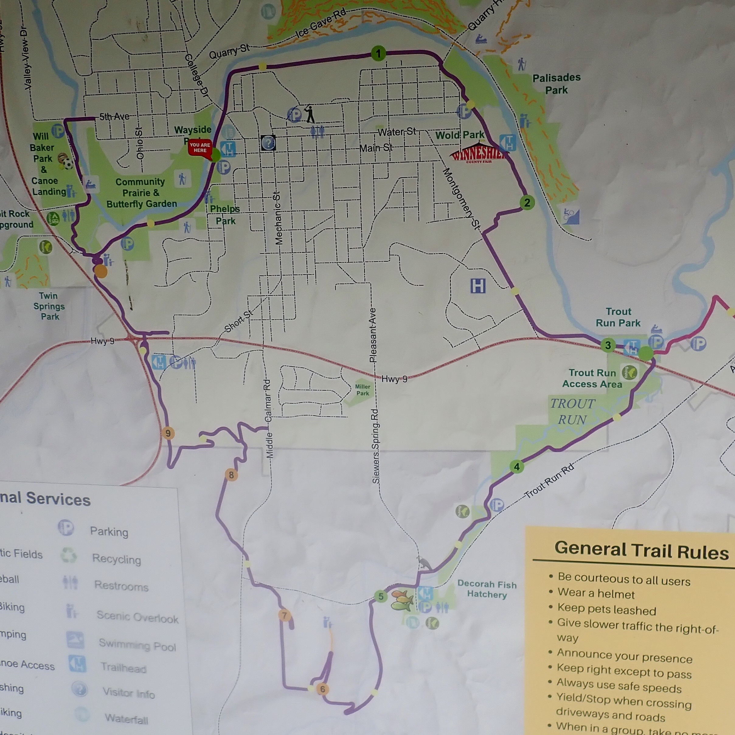
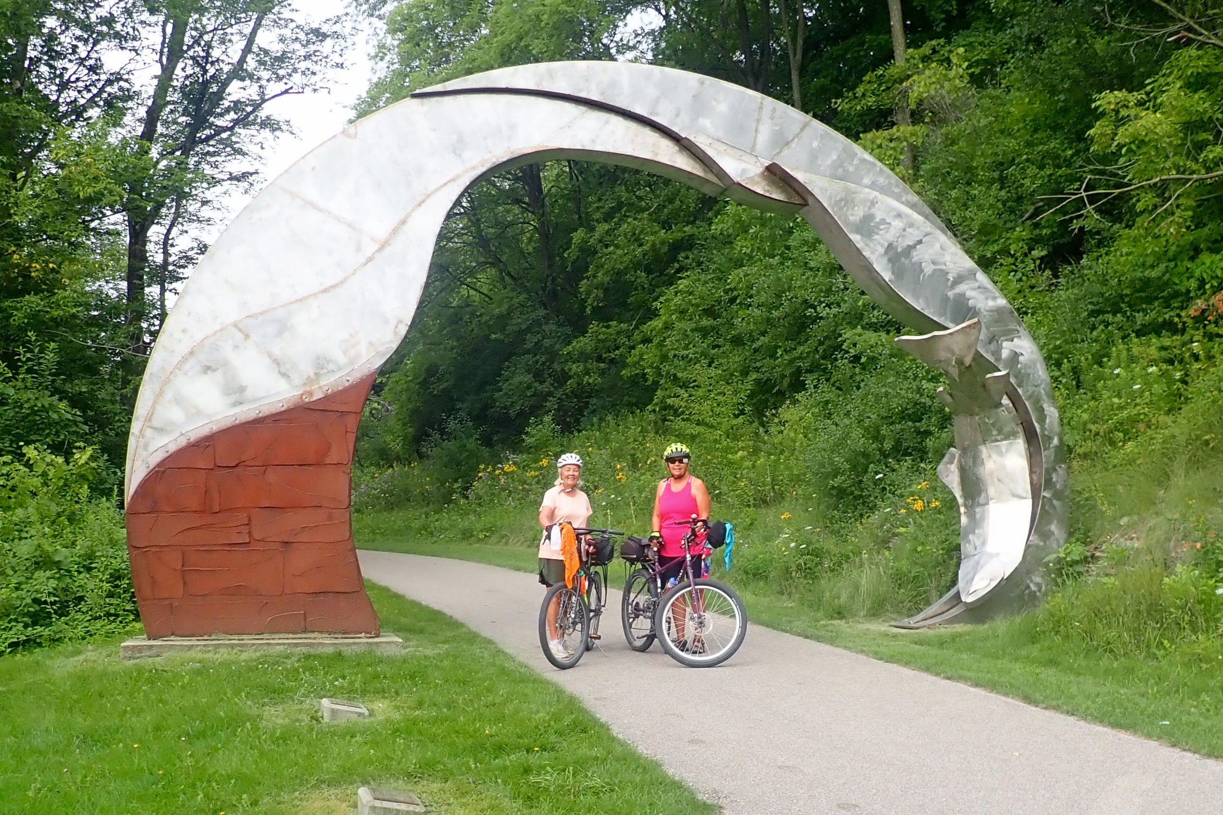
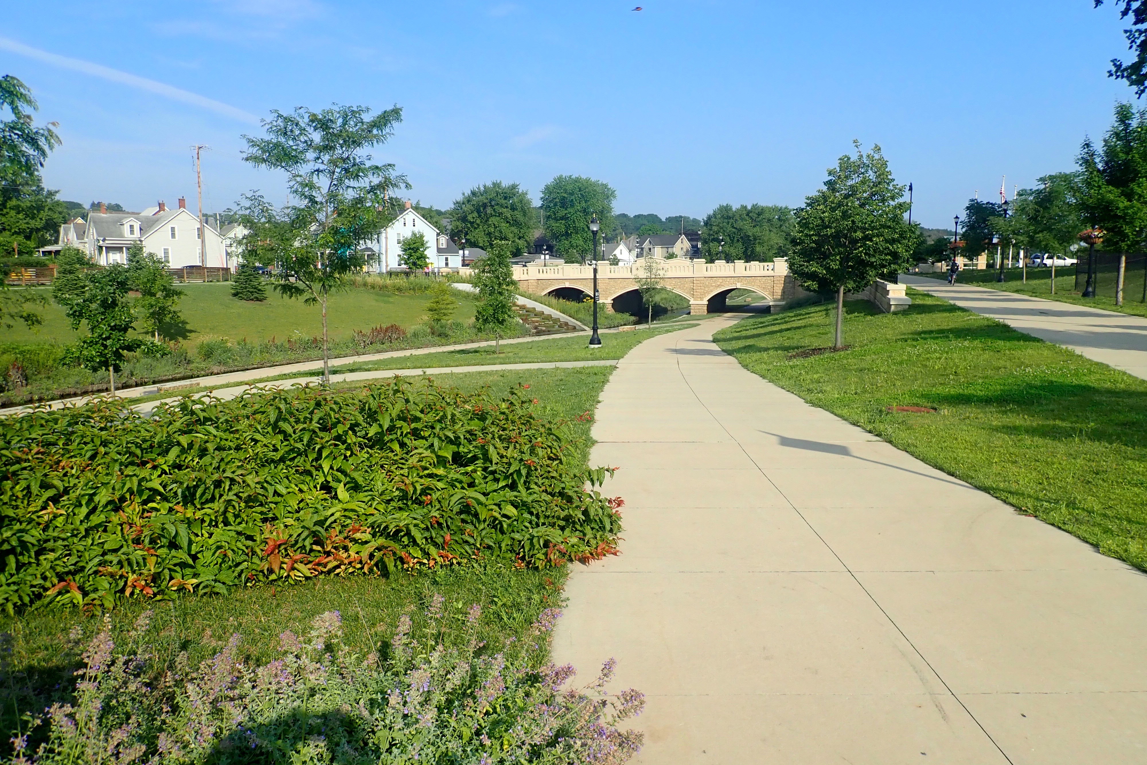
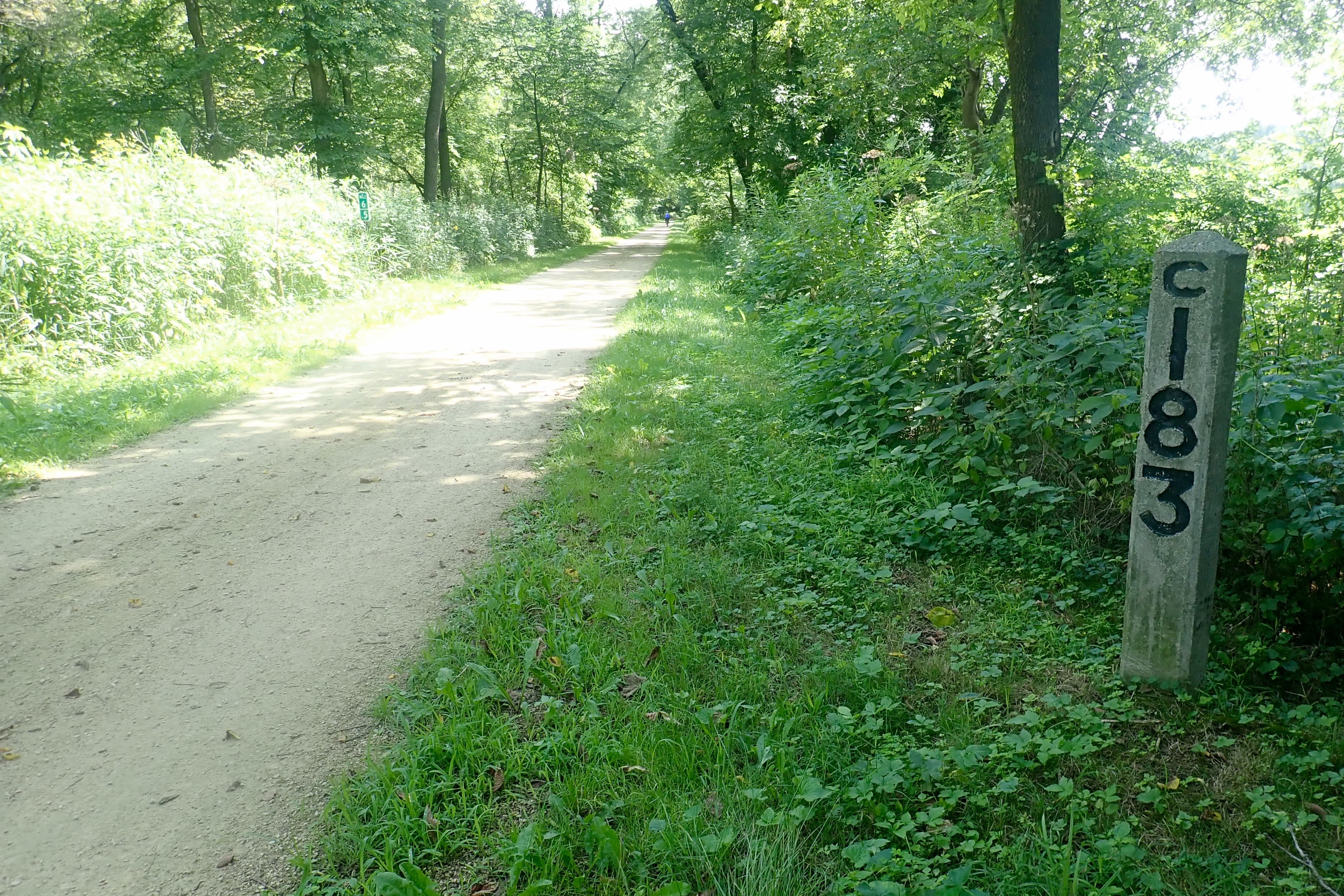
We drove to Decorah to ride Trout Run which was an 11-mile loop around the town – sort of a short ride for us, so we planned to ride it twice.
As soon as we started, the climbing began.
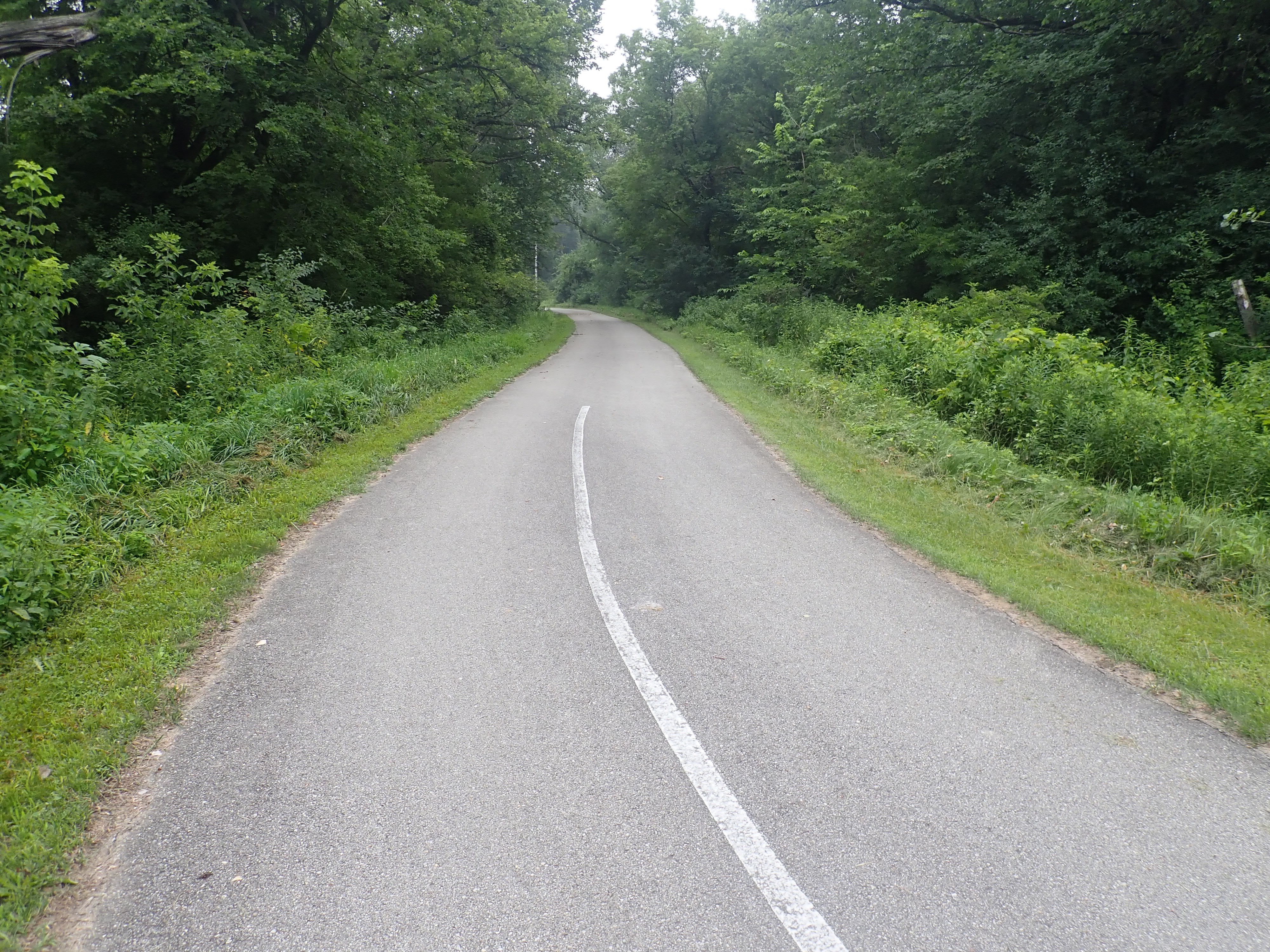
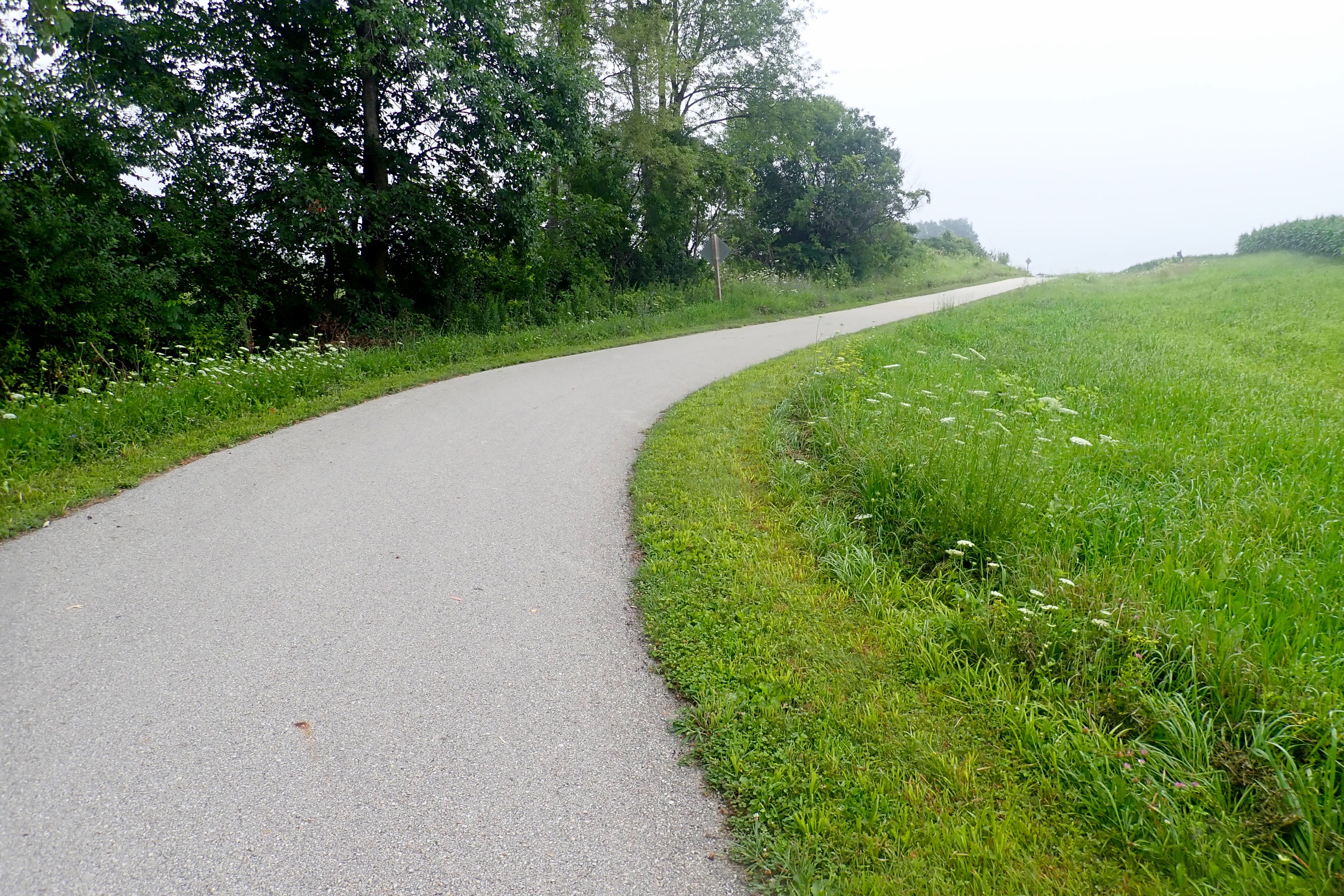
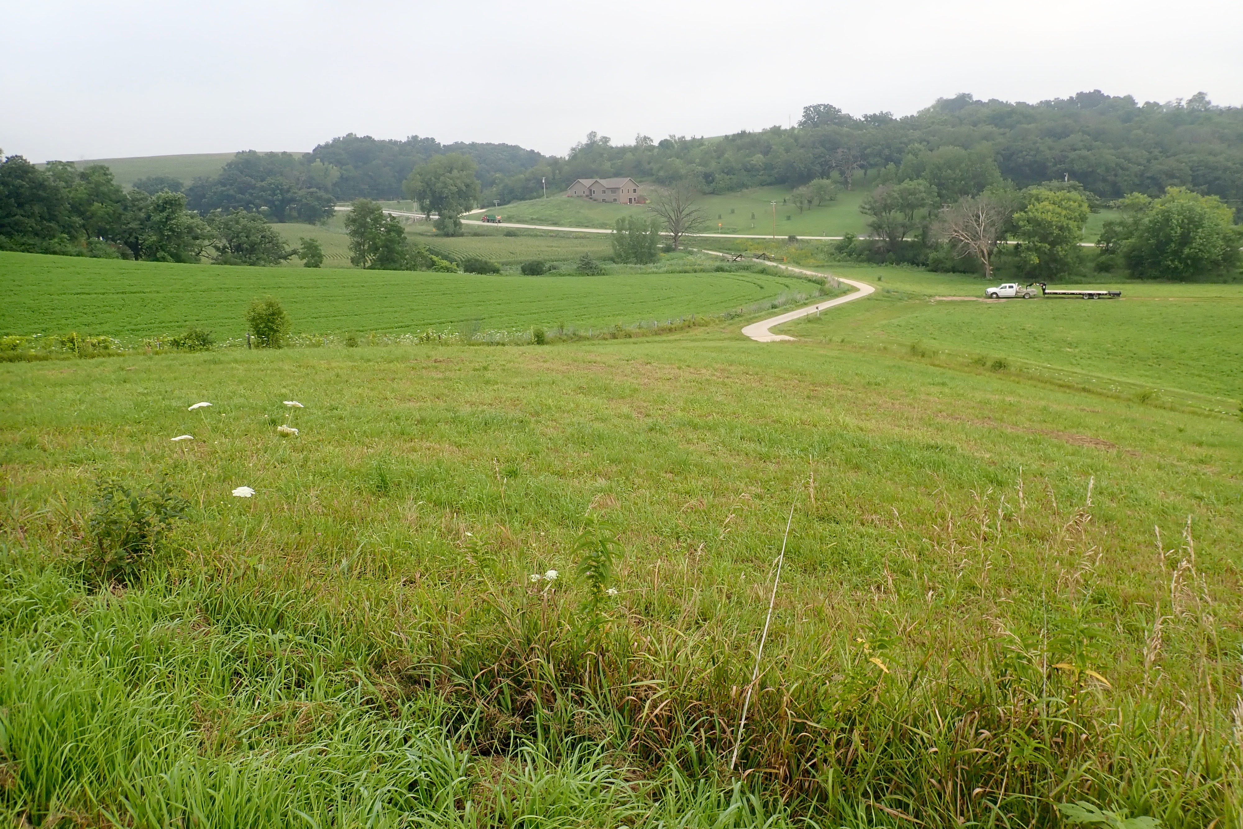
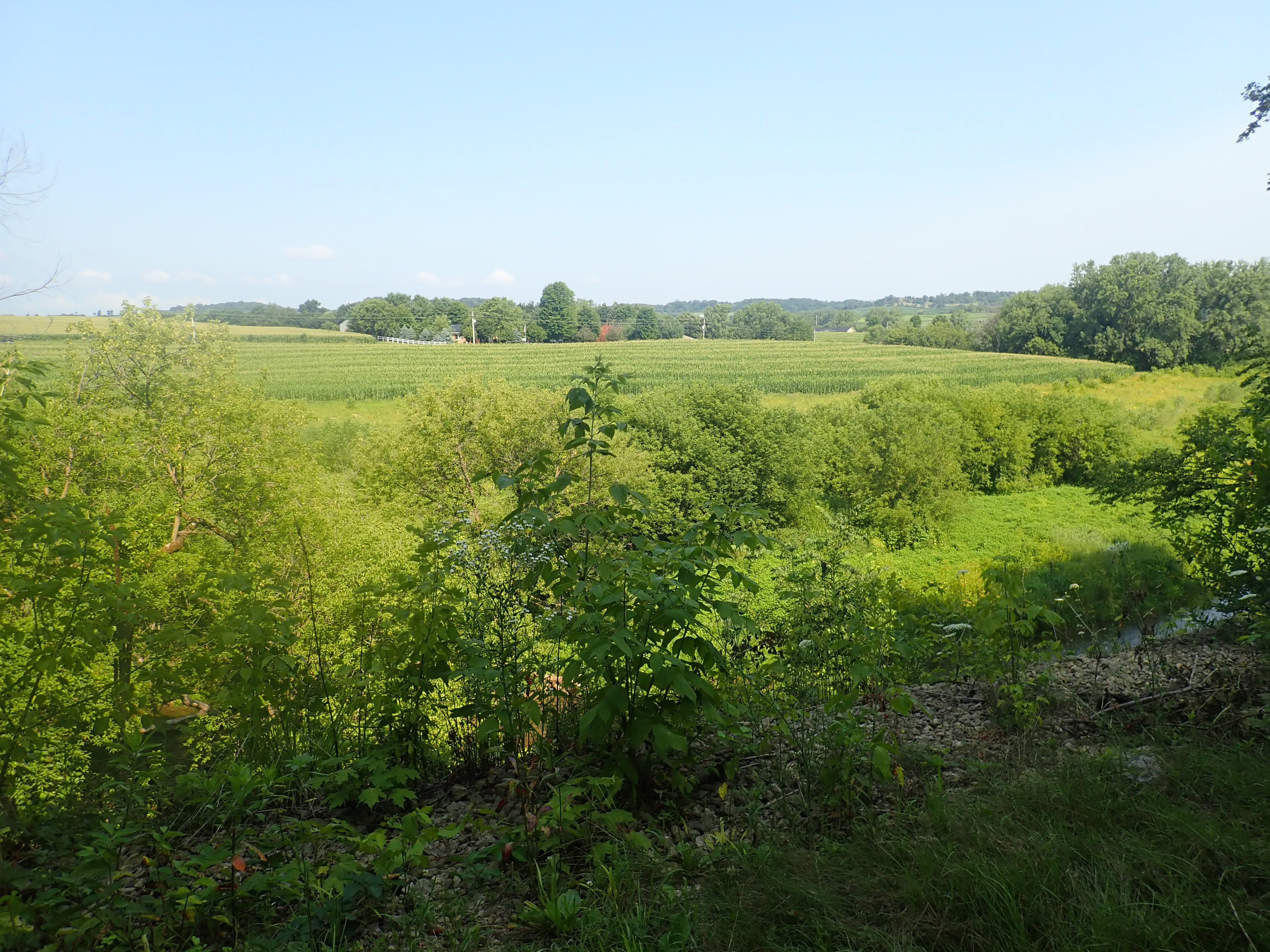
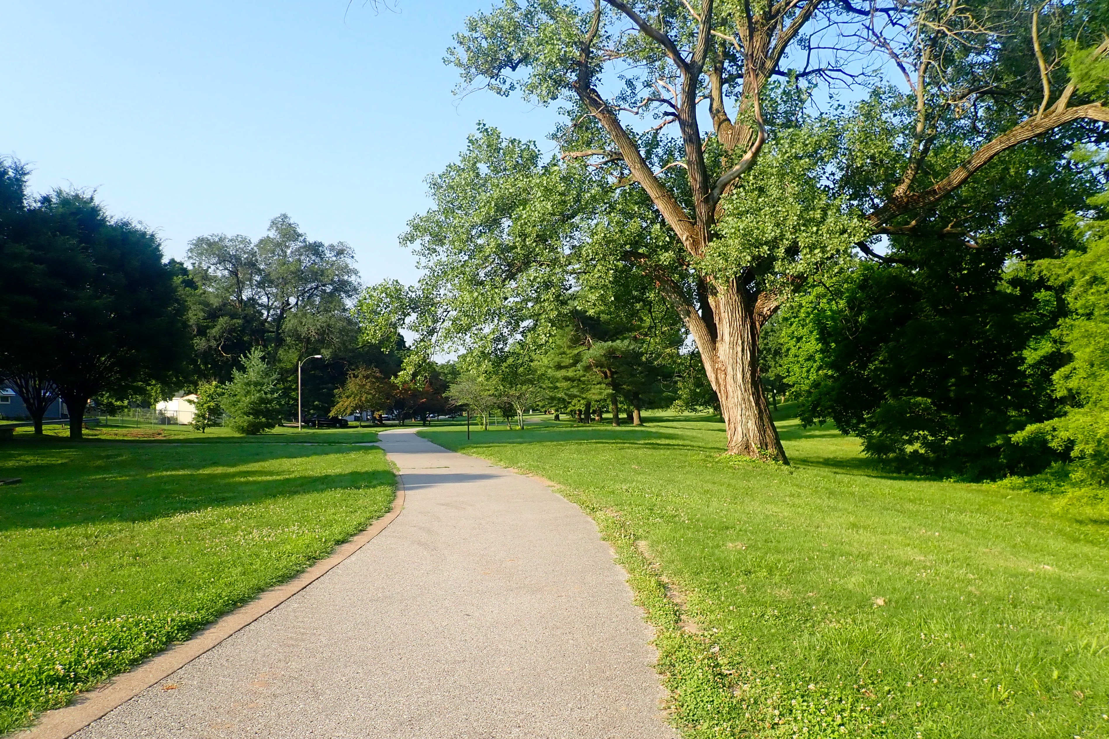
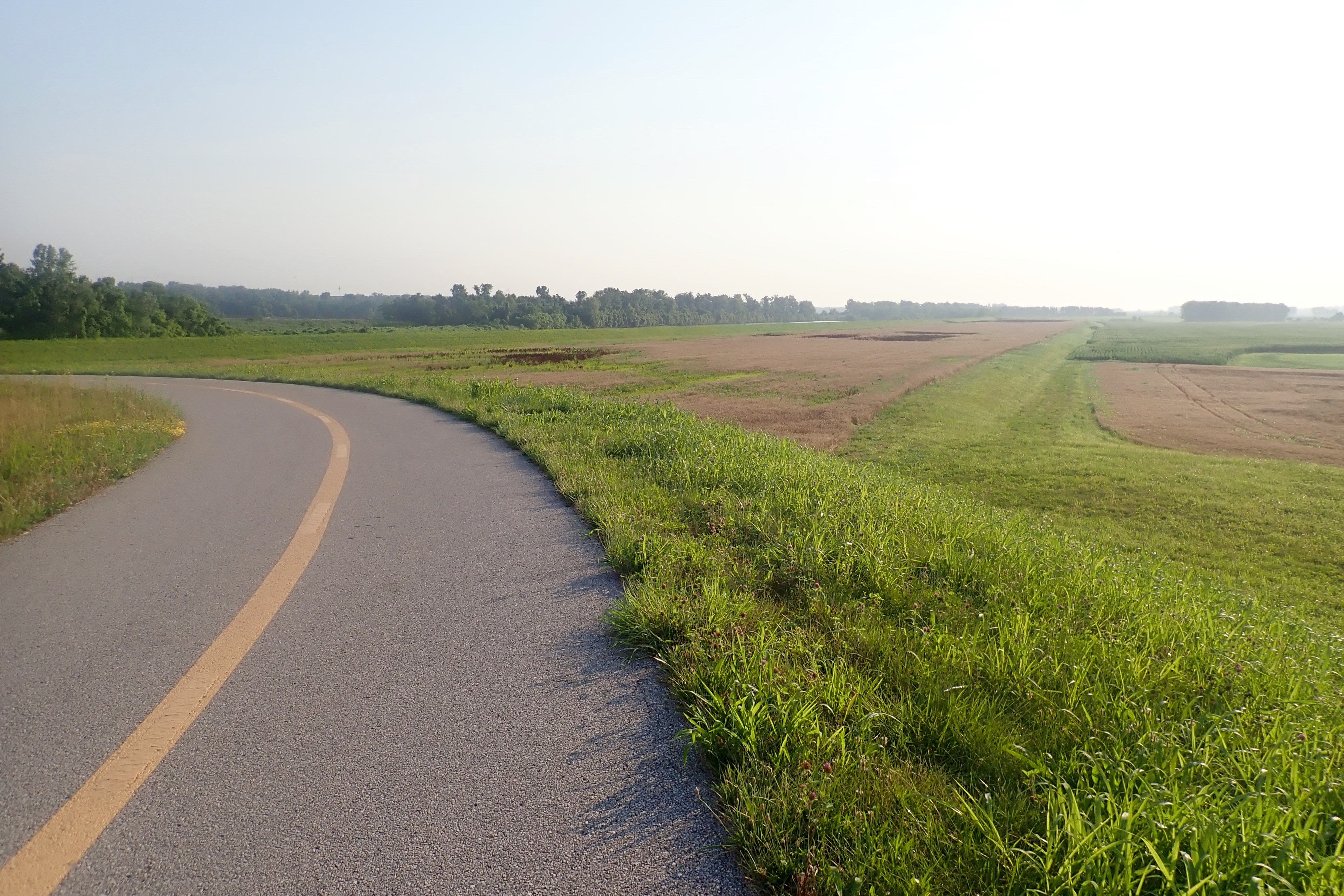
The trail continued upward and curved to pass the cornfield in the distance:
Still going up, but I could still pedal. I was going 4 mph:
By the time we got to the top of this hill, we’d ridden less than 2 miles and Billie said, “I do NOT want to ride this trail twice.” Whew! She said it first, but I’d already made the same decision.
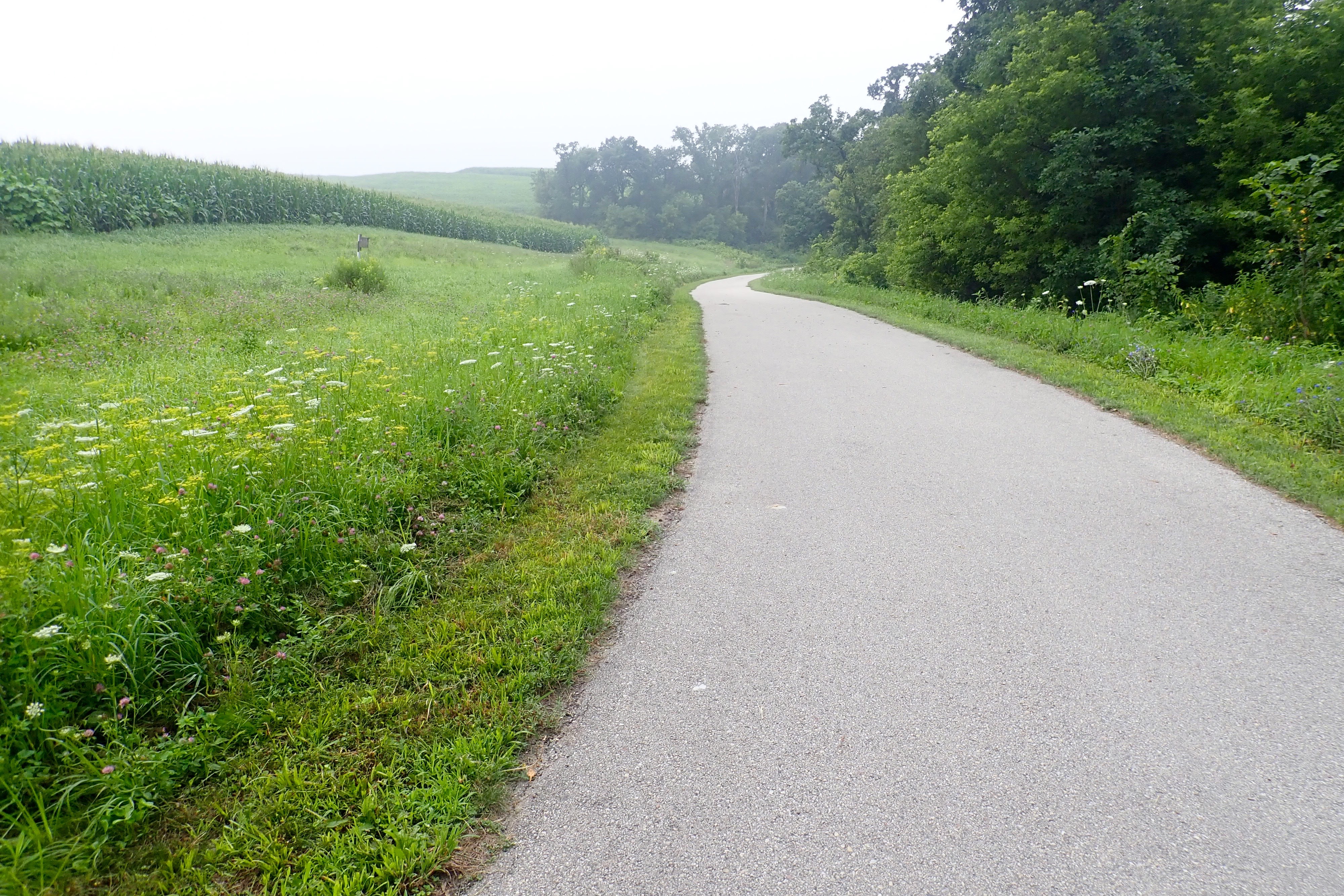
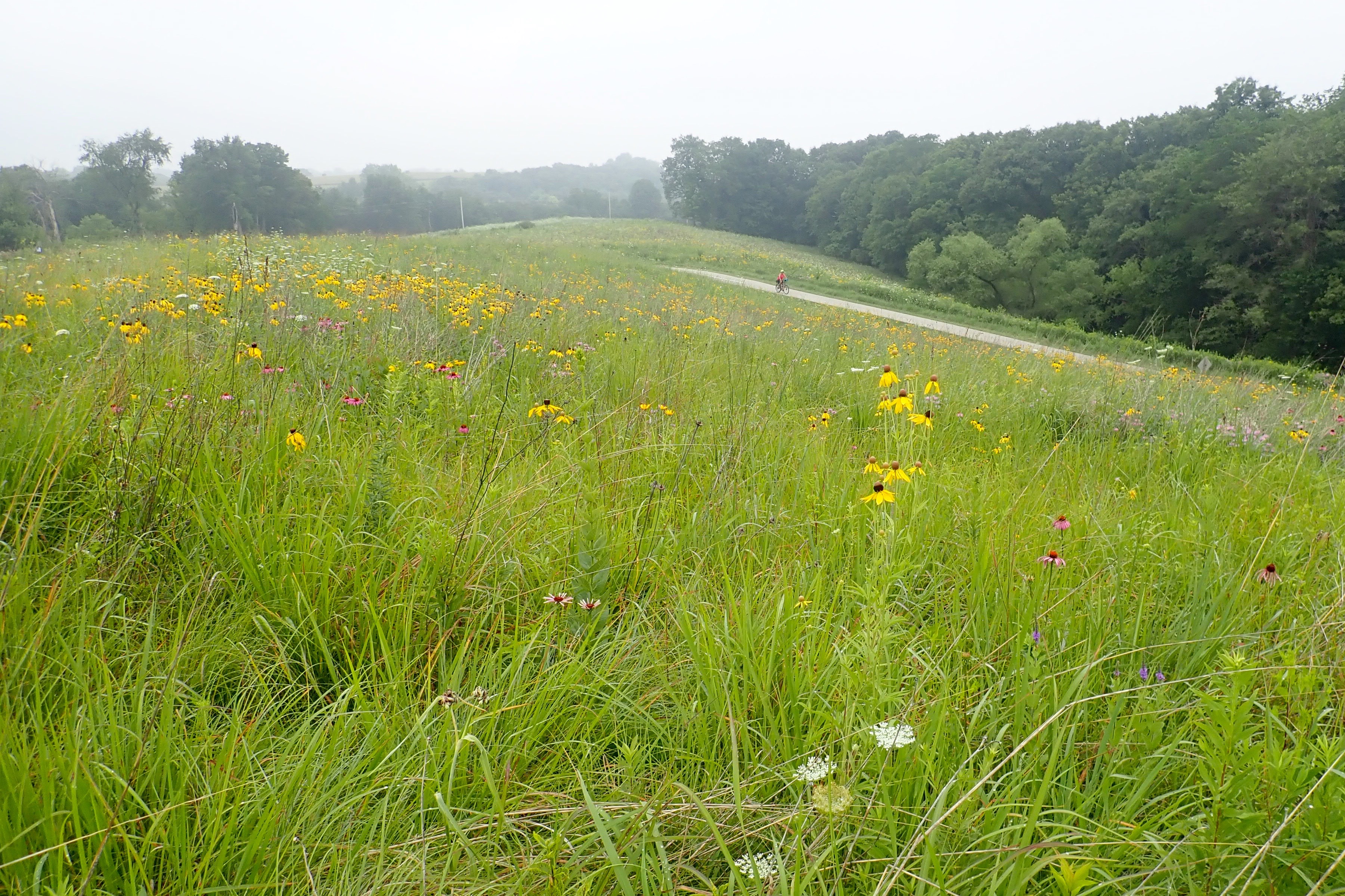
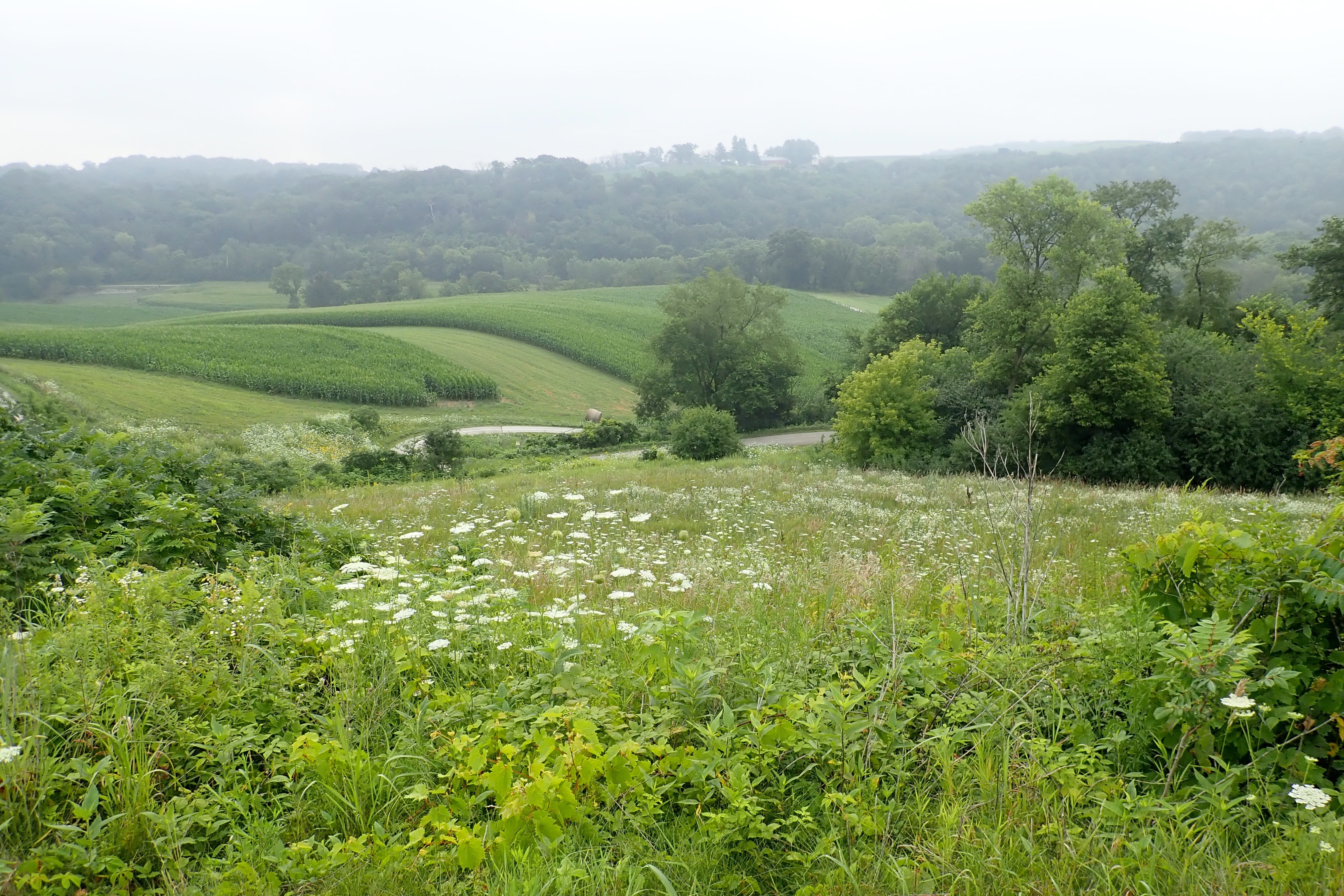
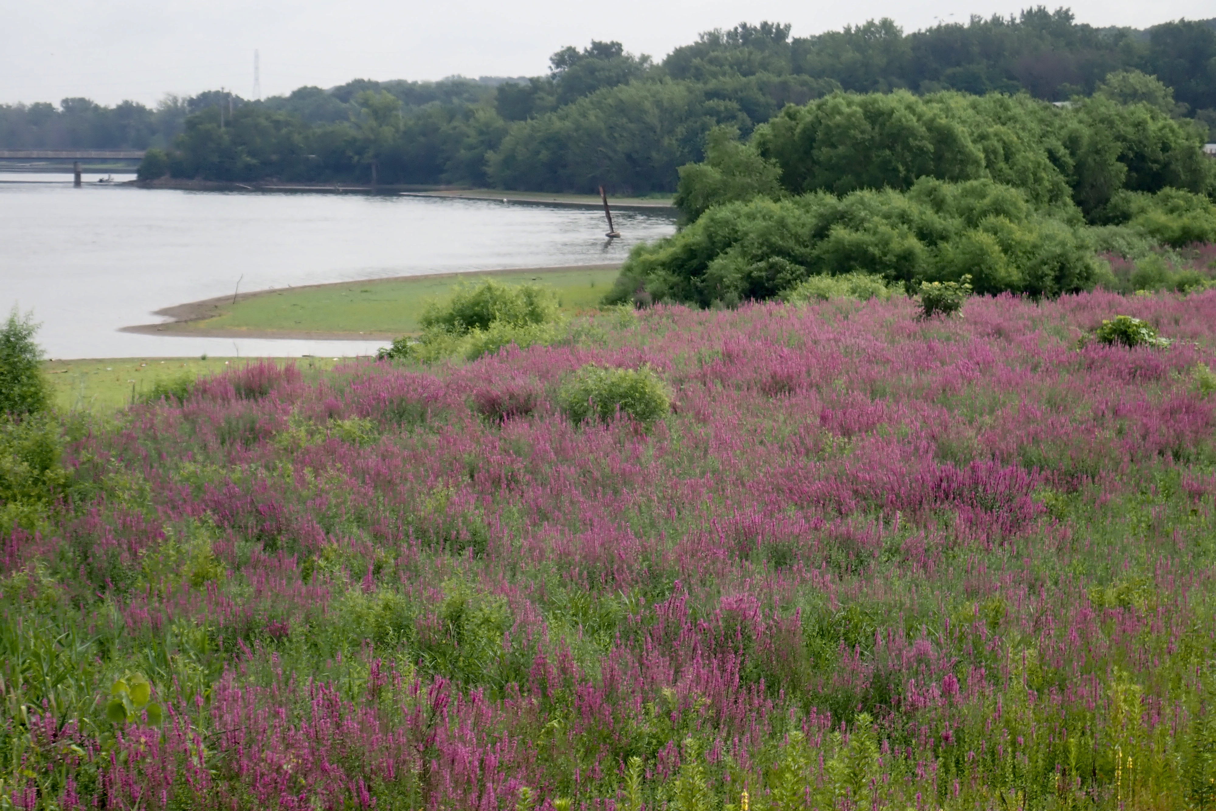
It was more flat at the top with beautiful vistas, the wildflowers were spectacular:
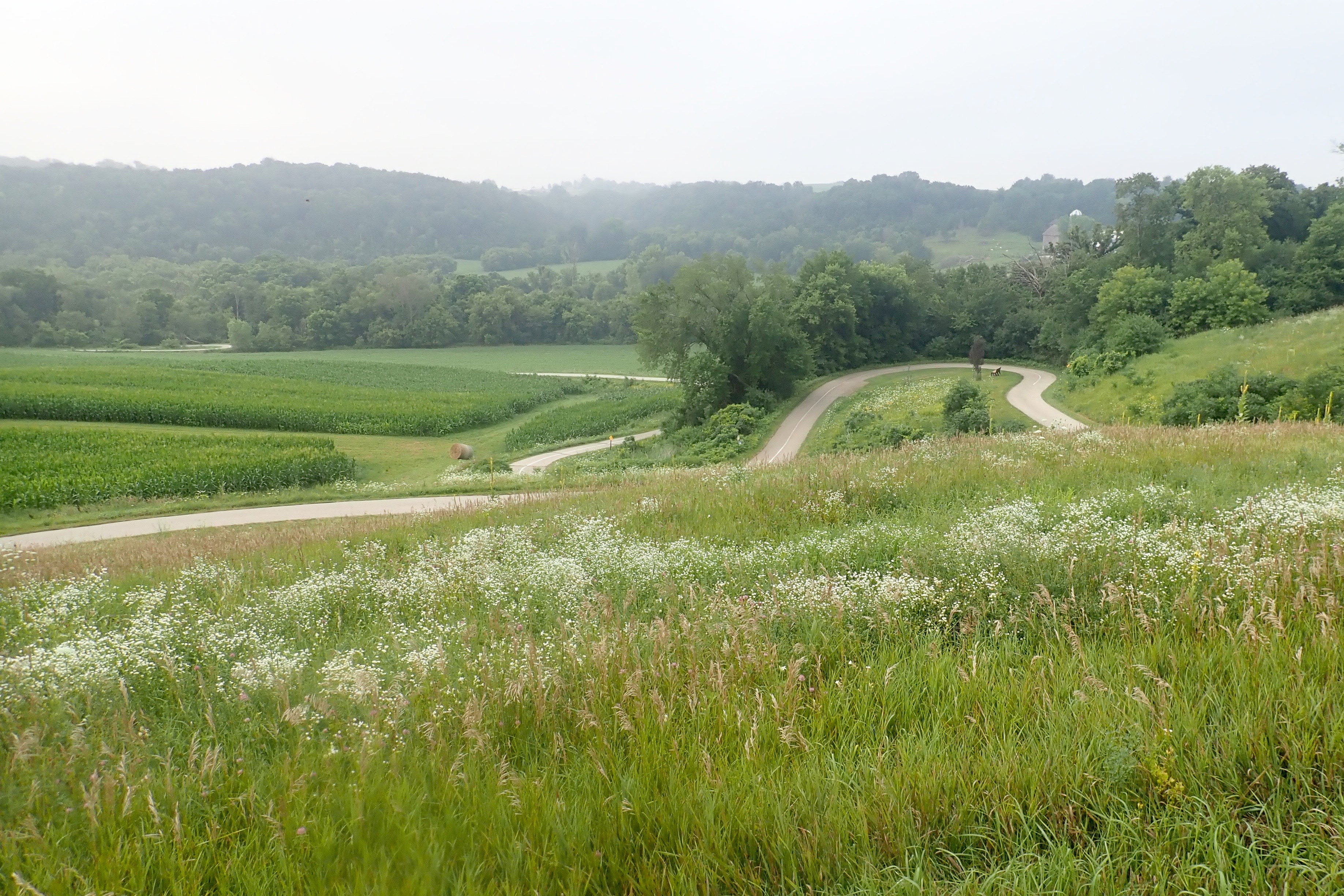
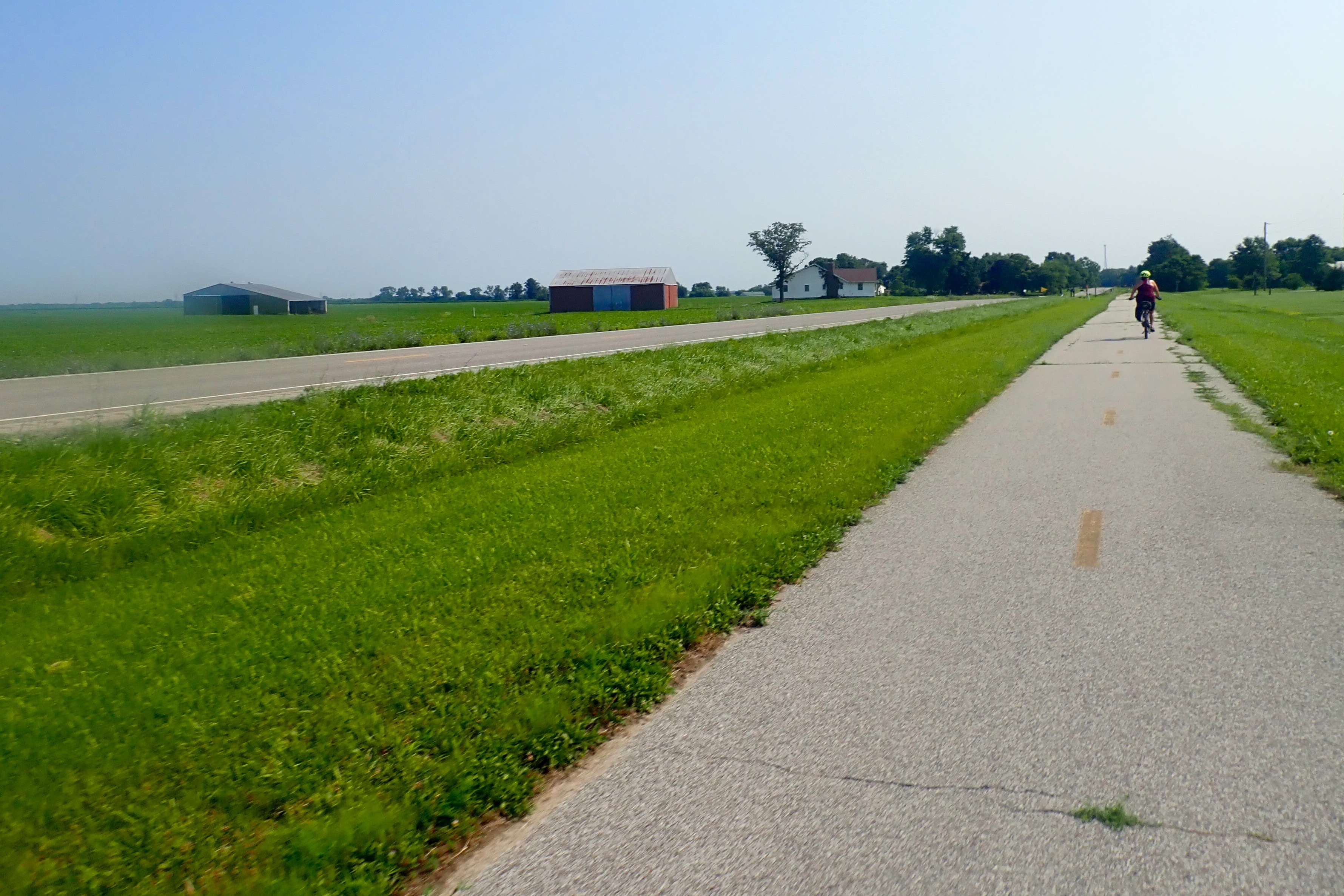
The glorious downhill run. That’s Billie in the distance:
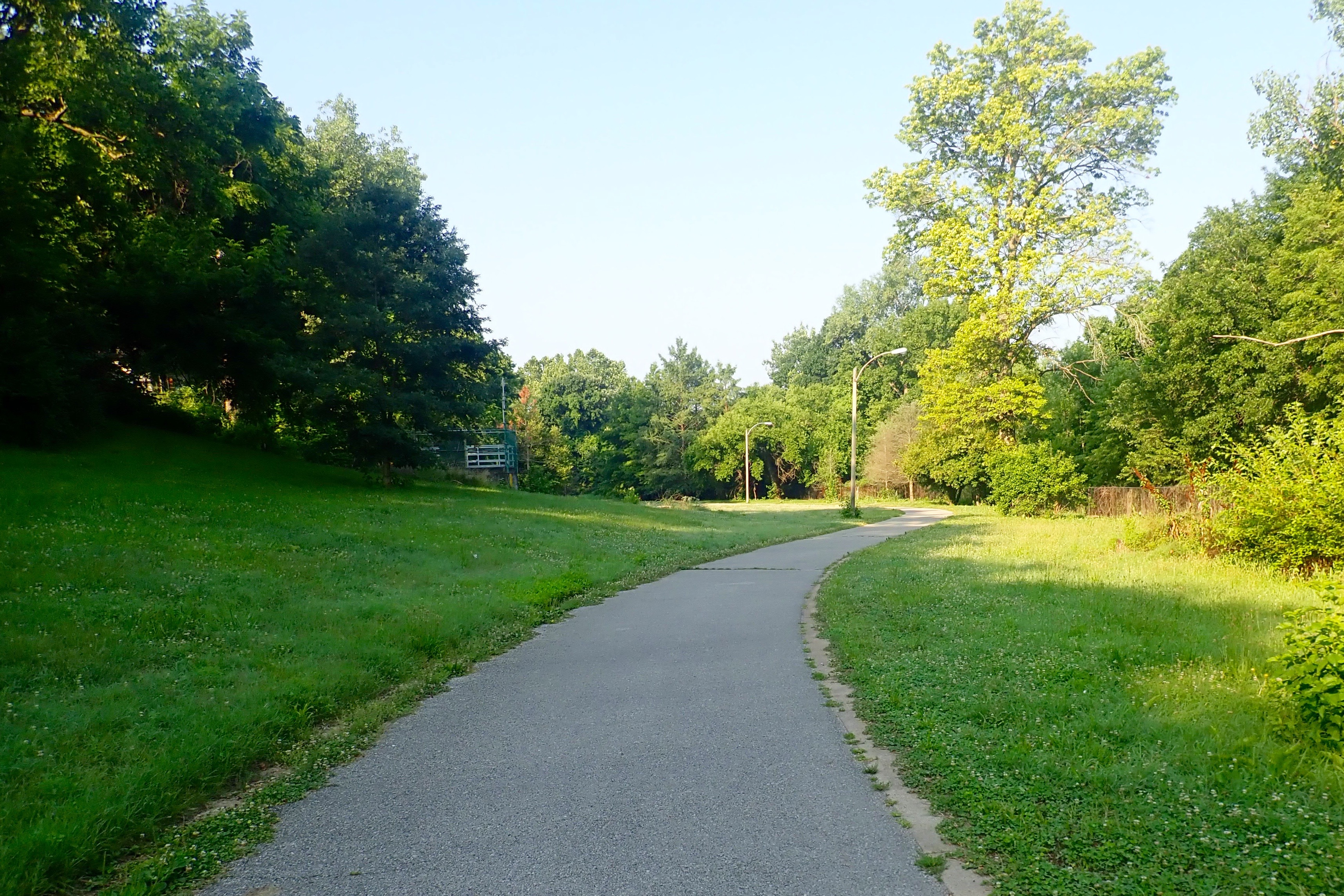
The trail wound downward to the far bank of trees:
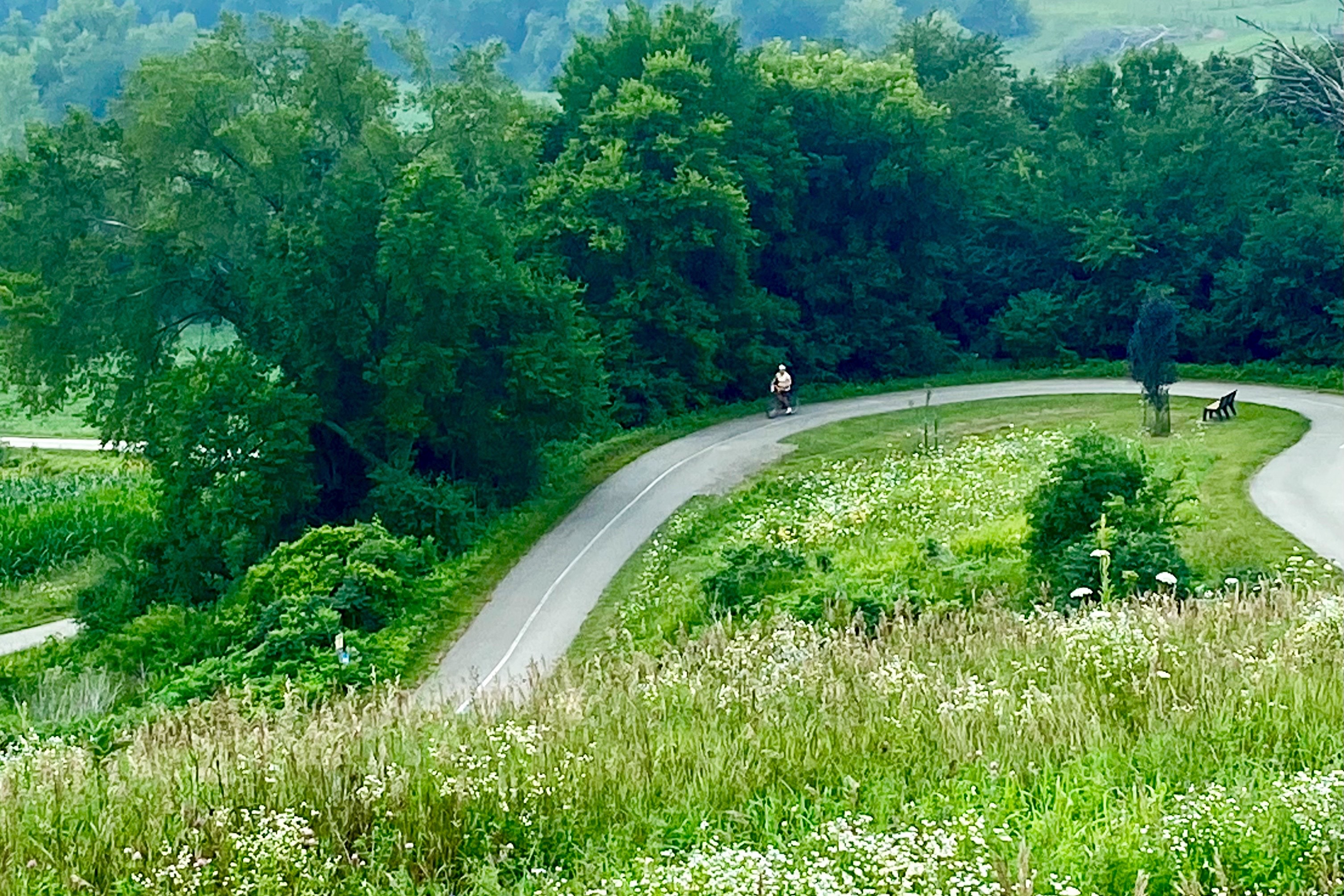
Billie took this picture of me rounding the curve:
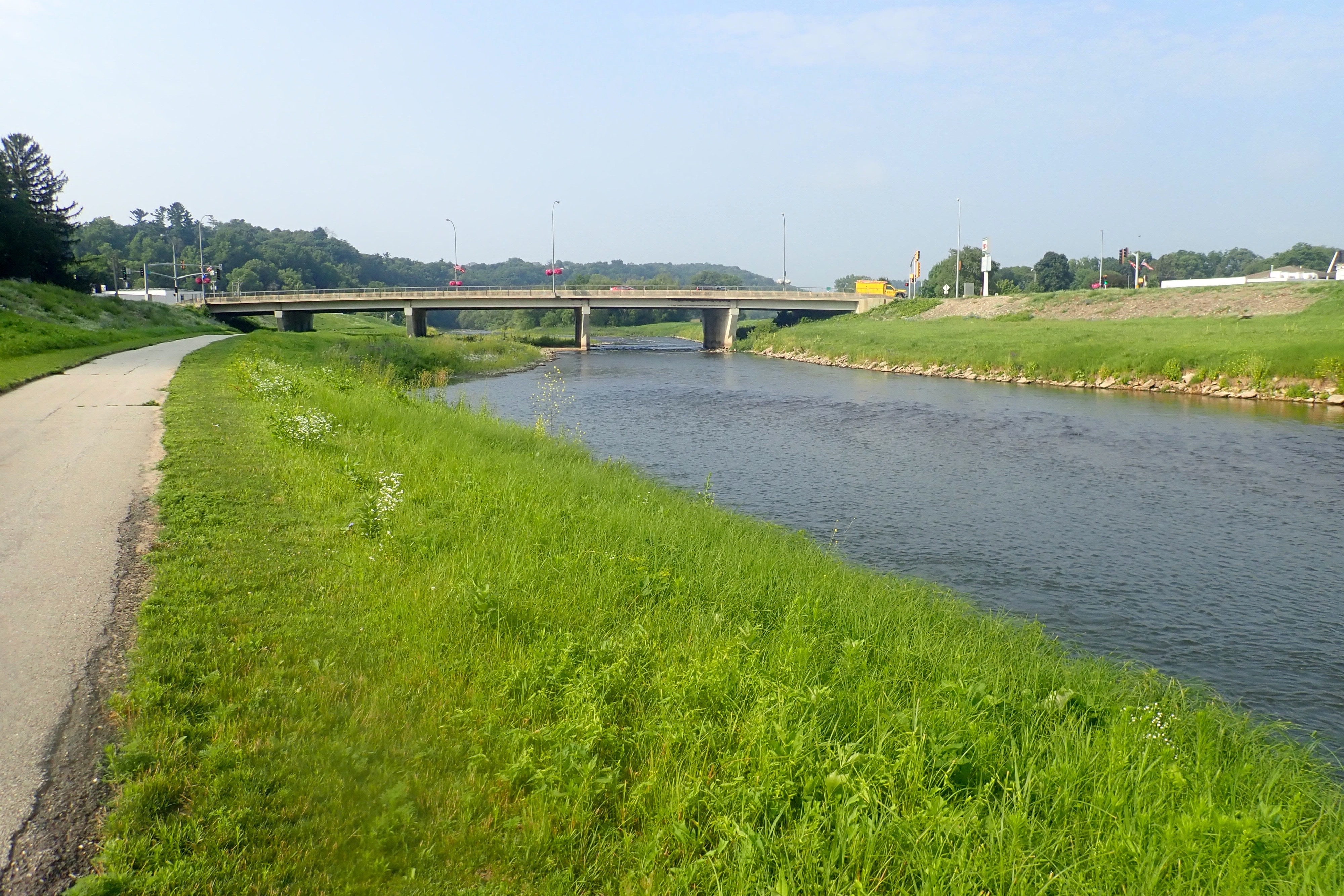
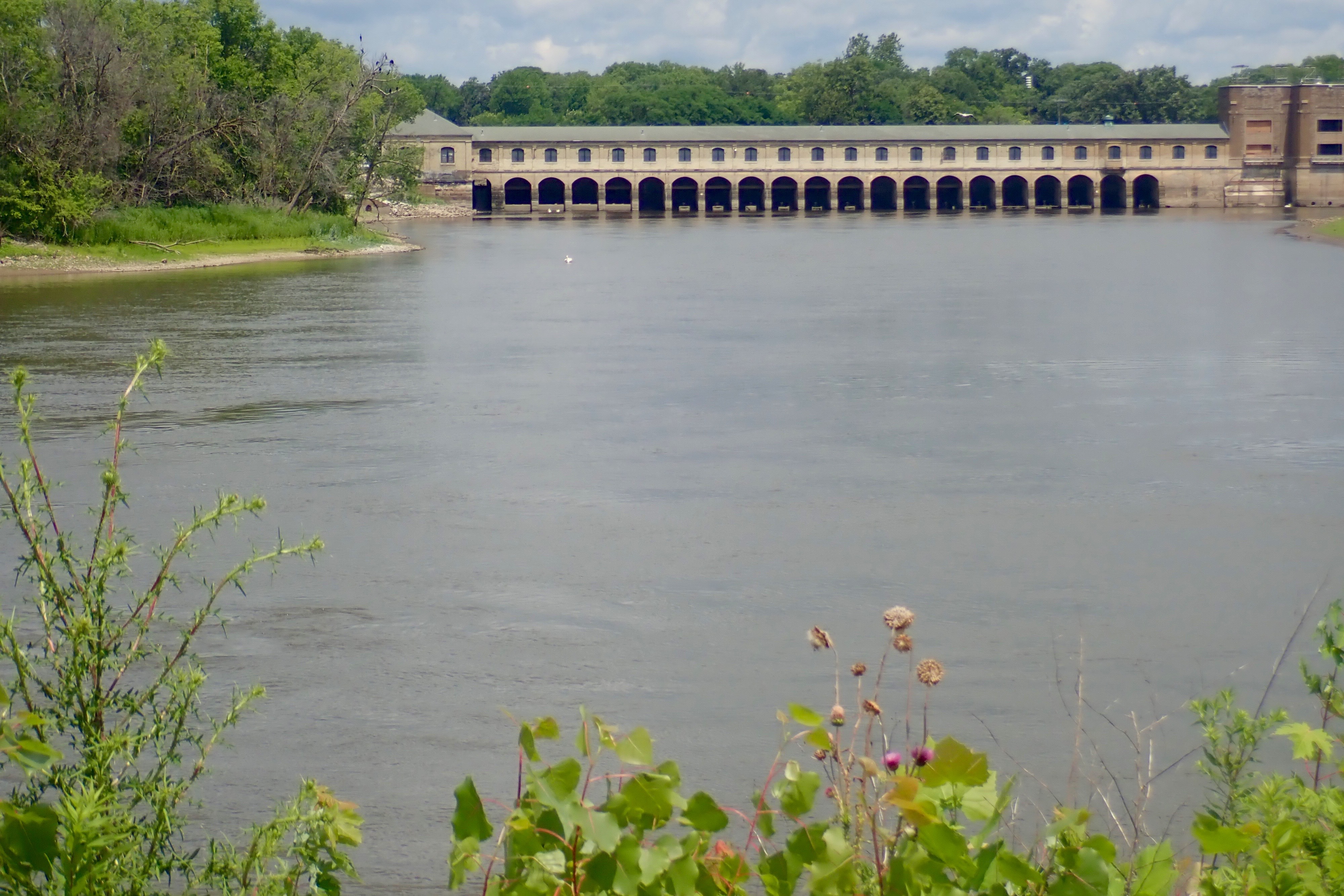
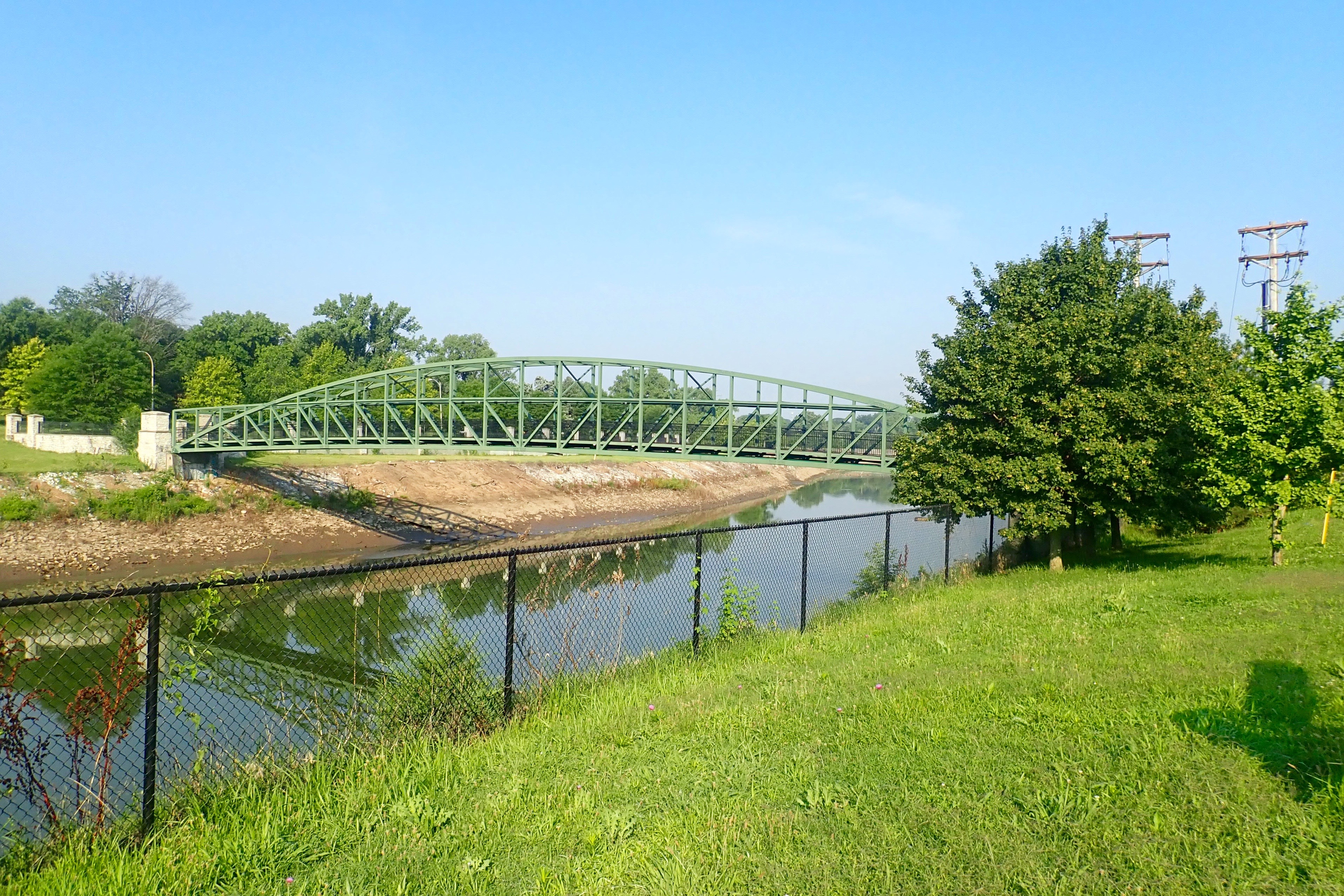
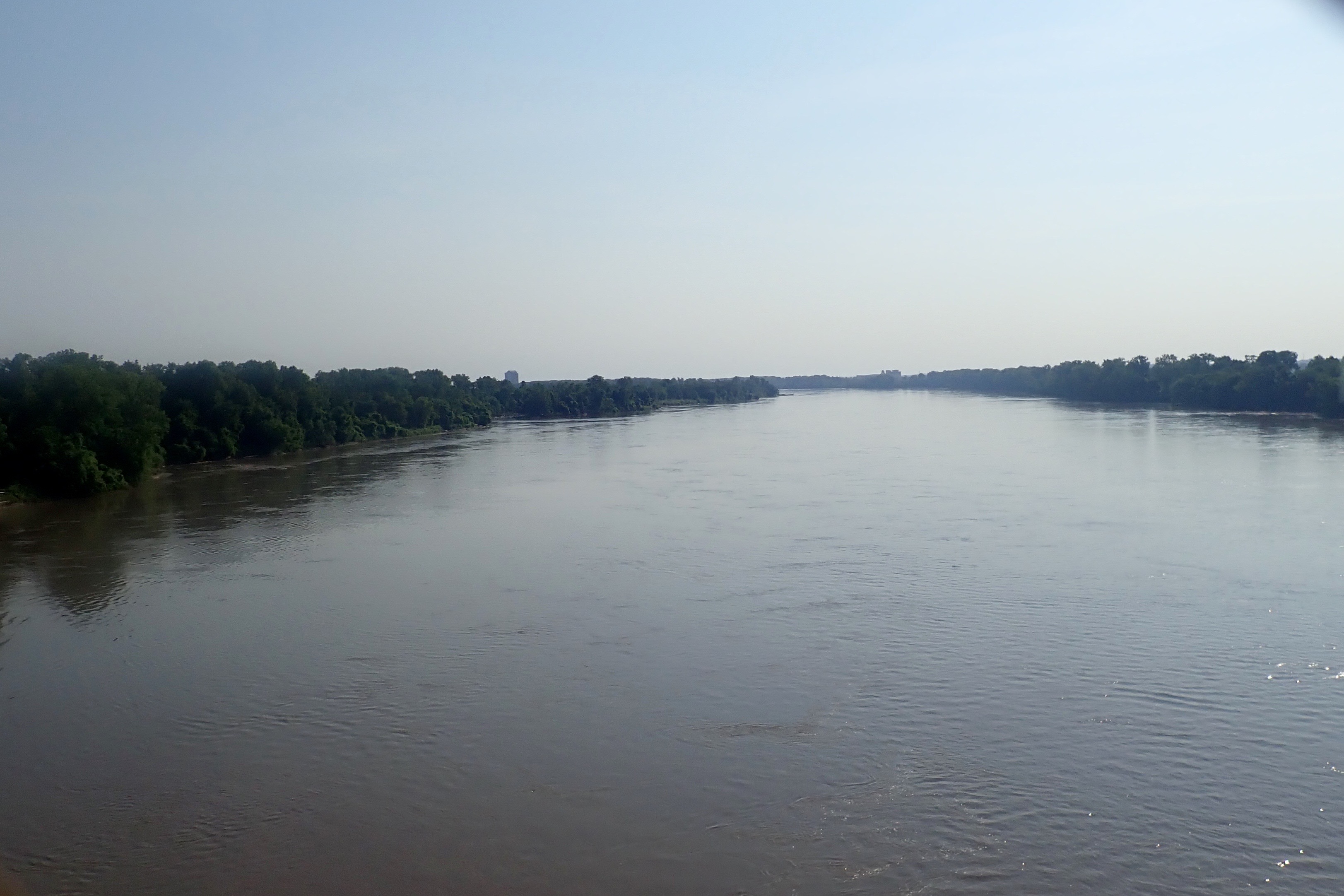
Upper Iowa River:
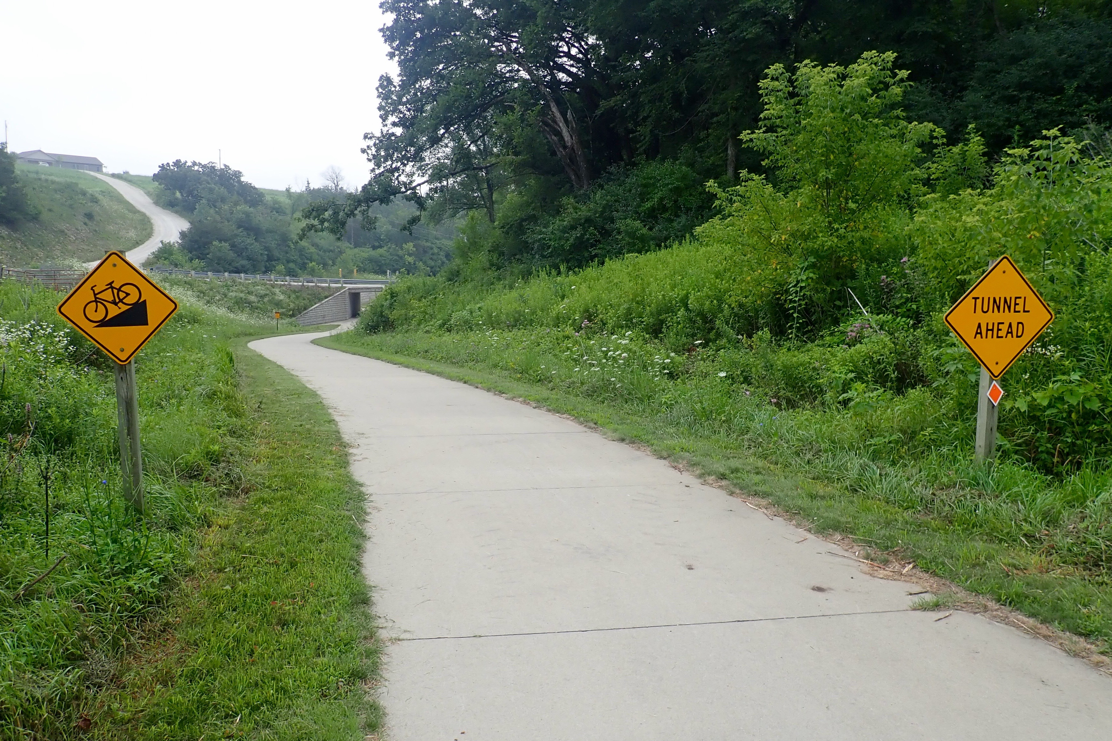
One more tough climb at the end of the ride:
Not an easy ride, but so worth it. 12 miles. We’d parked in front of the grocery store that had a Starbucks so our well-earned reward was soon to be enjoyed!
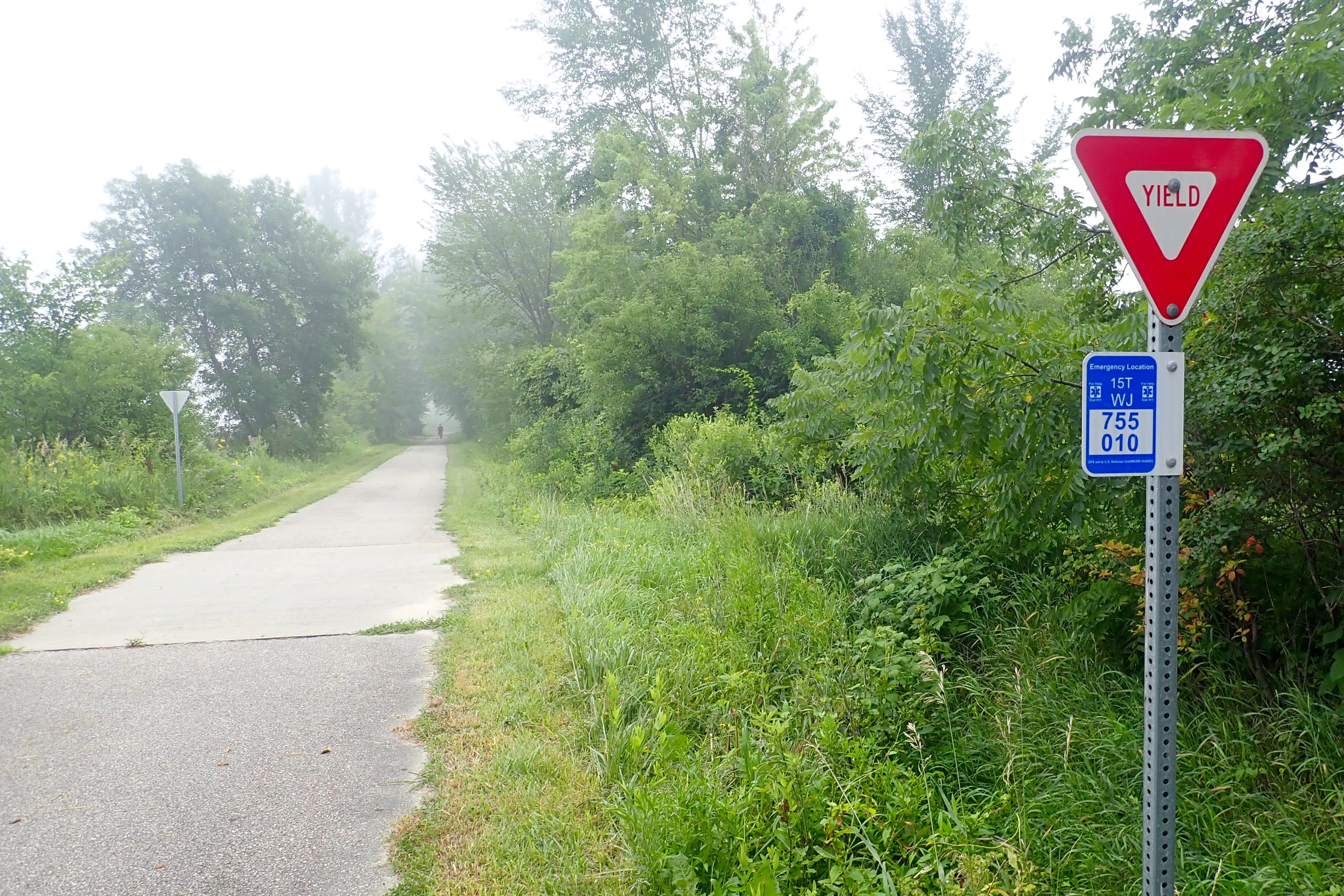
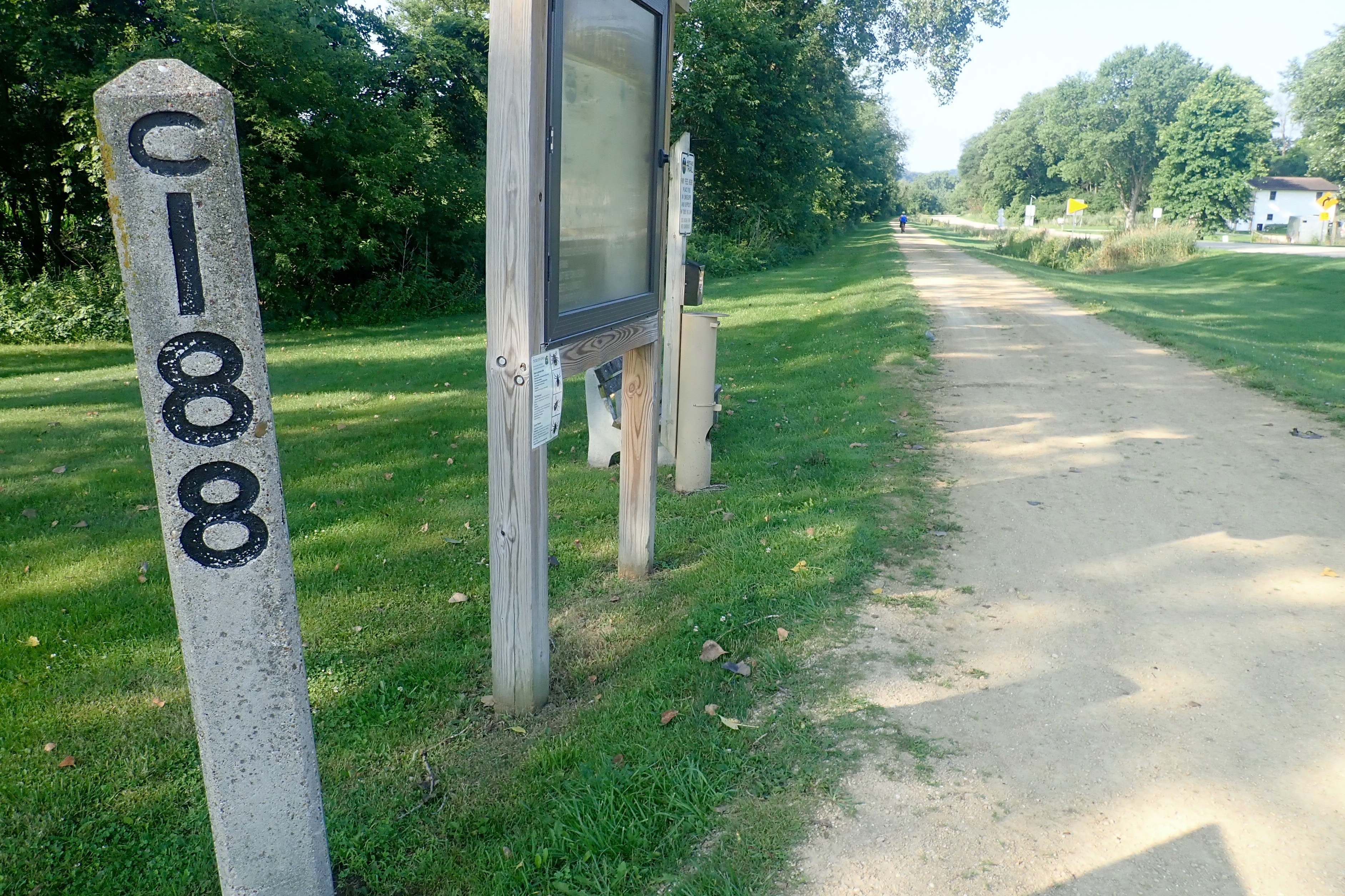
We drove about 11 miles from the campground to a parking area near Cresco.
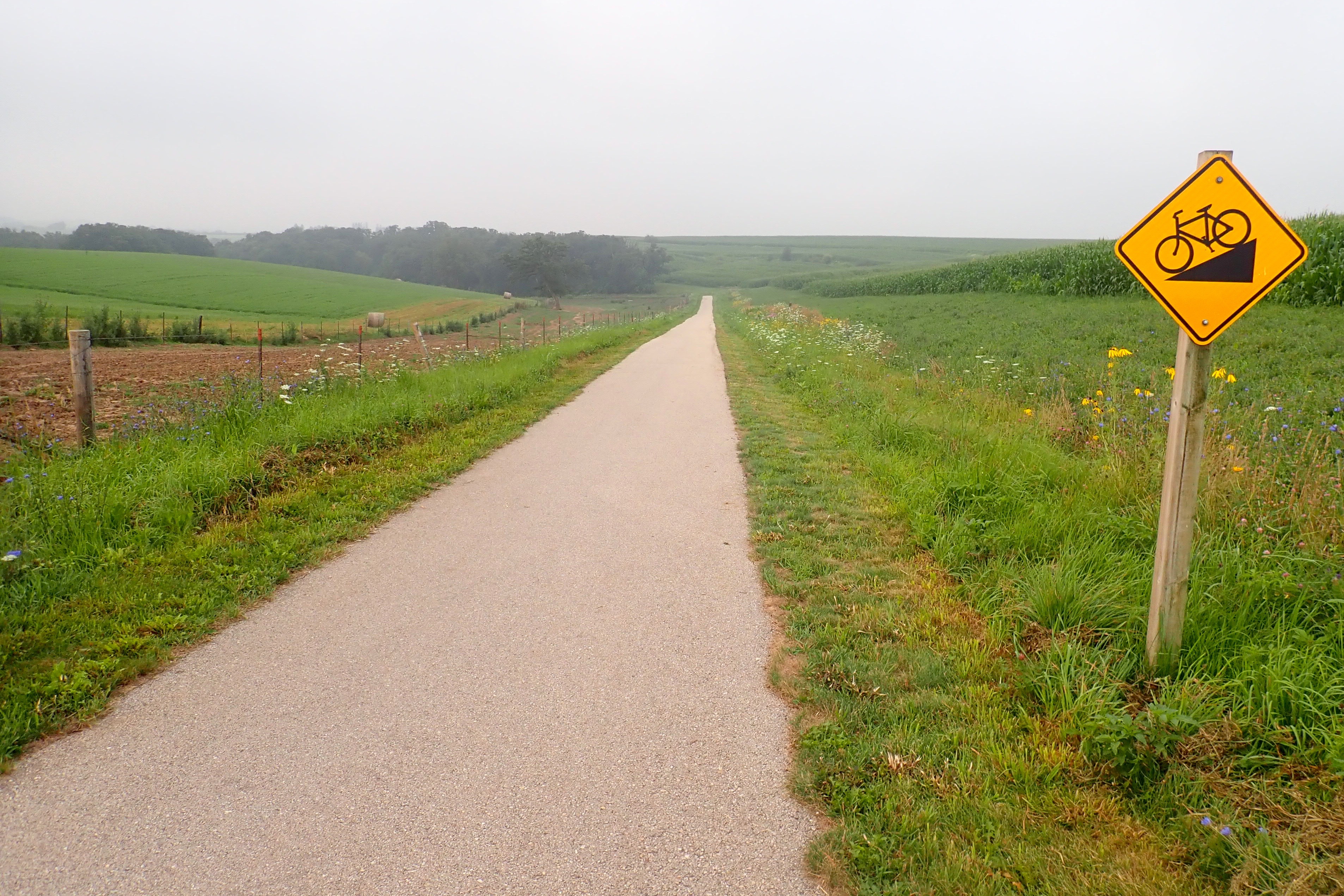
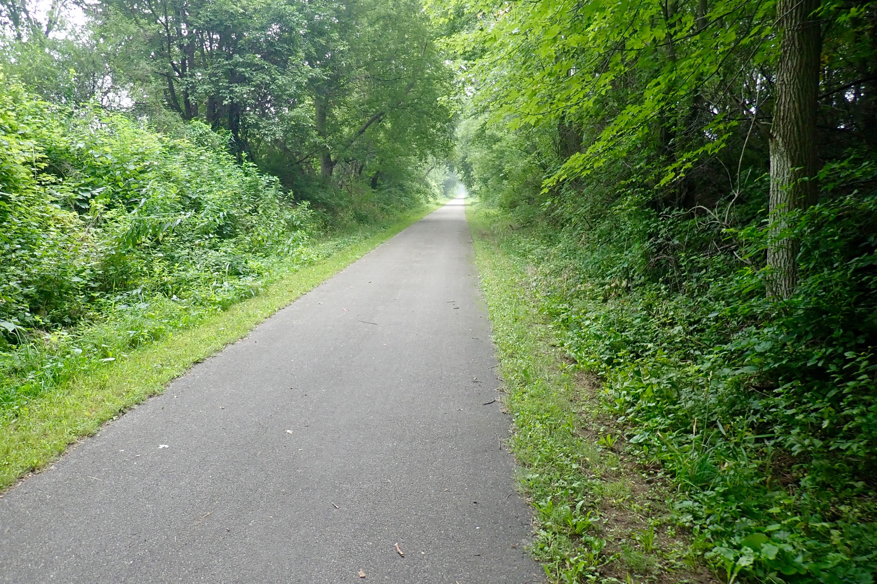
It was foggy which also meant it was cooler. We started early nevertheless. There were many signs like this on the trail. While this one seemed to be a mystery – yield to what? – most of the others were cut-throughs for farm machinery.
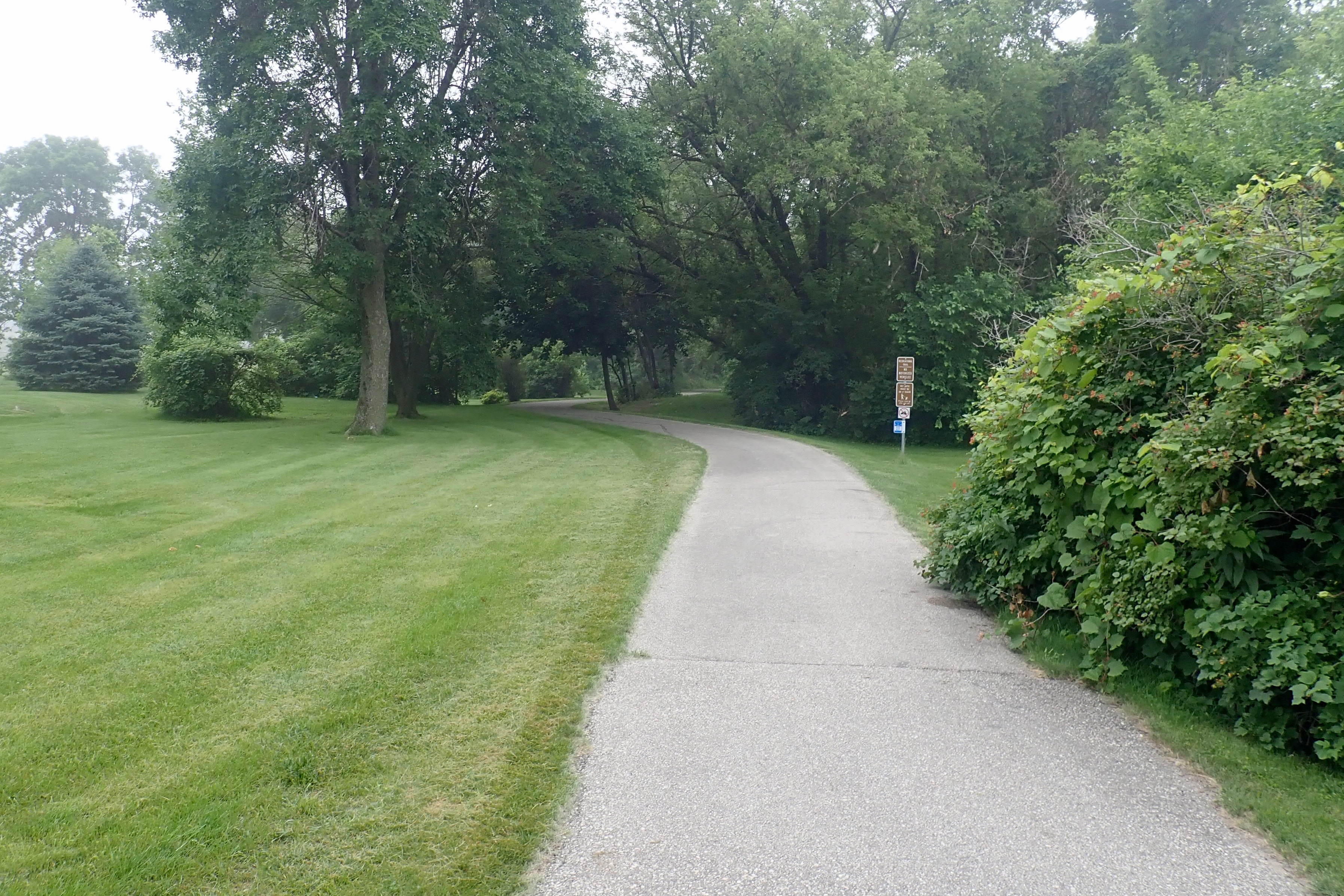
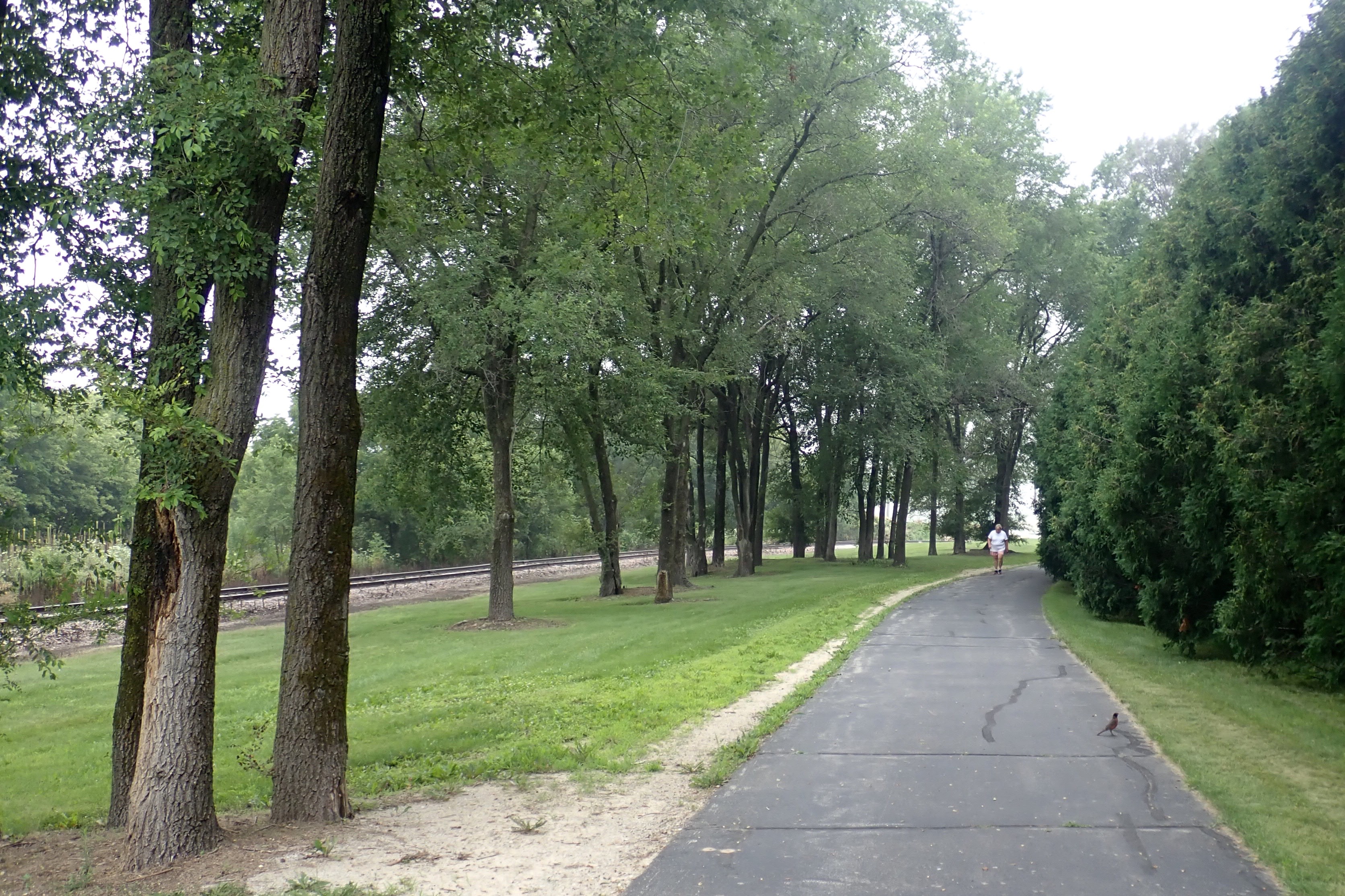
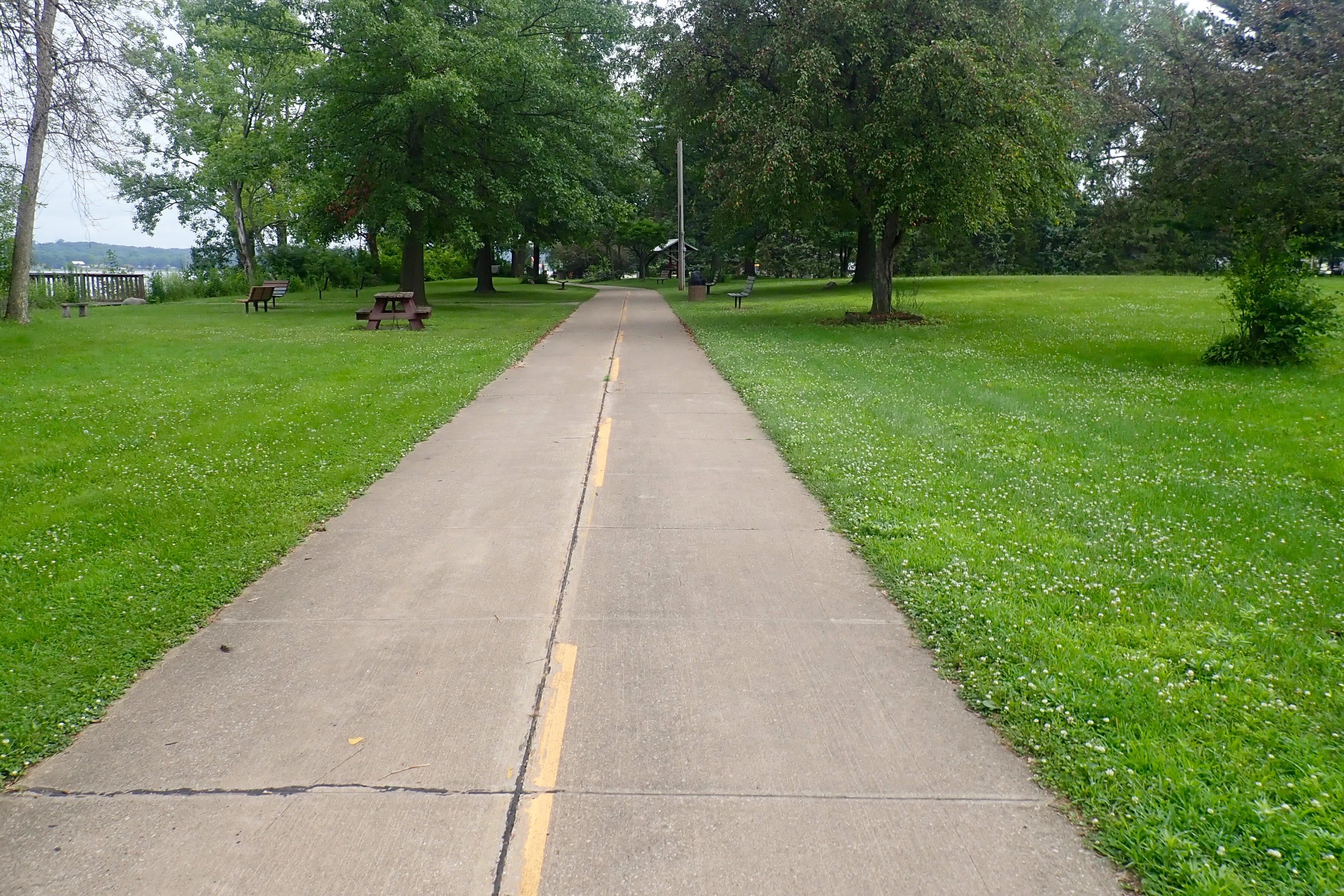
Leaving Ridgeway Park:
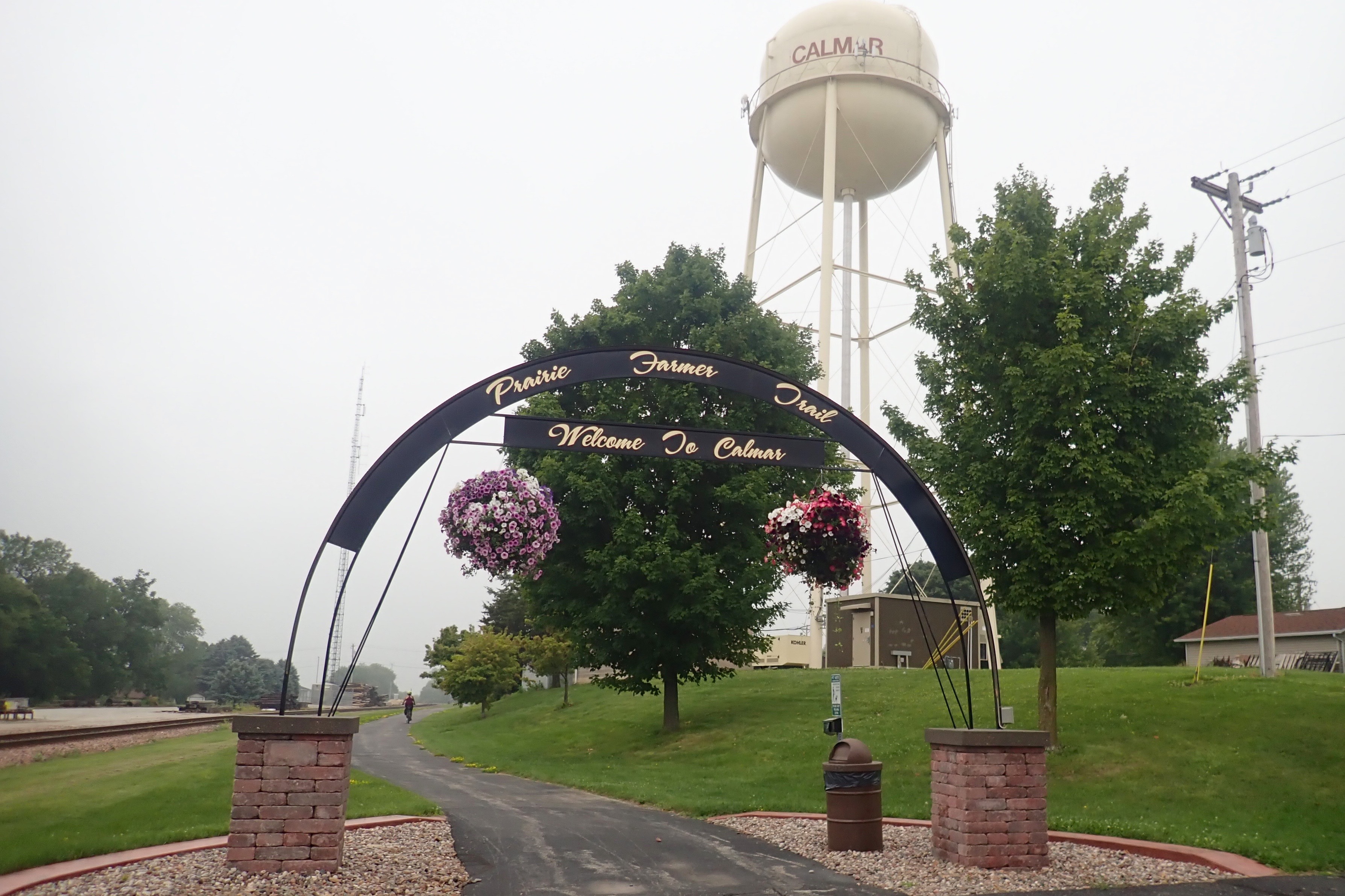
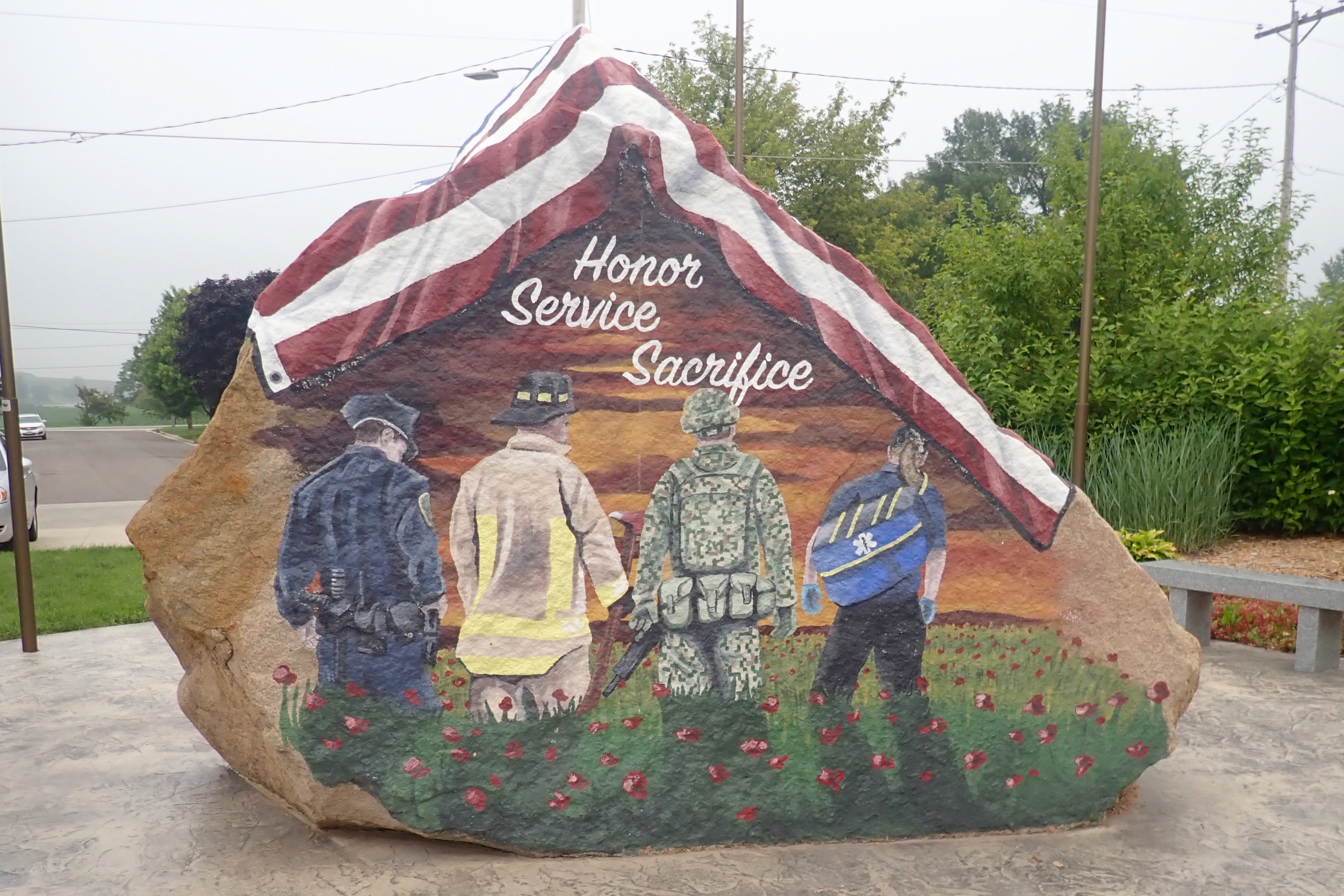
Our turnaround point was in Calmar:
Calmar is the location for this county’s “freedom rock”. The goal is to have one in each of Iowa’s 99 counties.
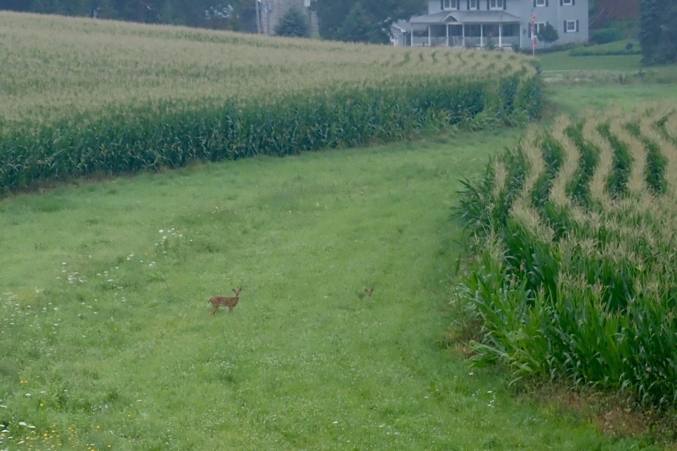
In between the fields of corn, a head looked up and watched me until I rode away.
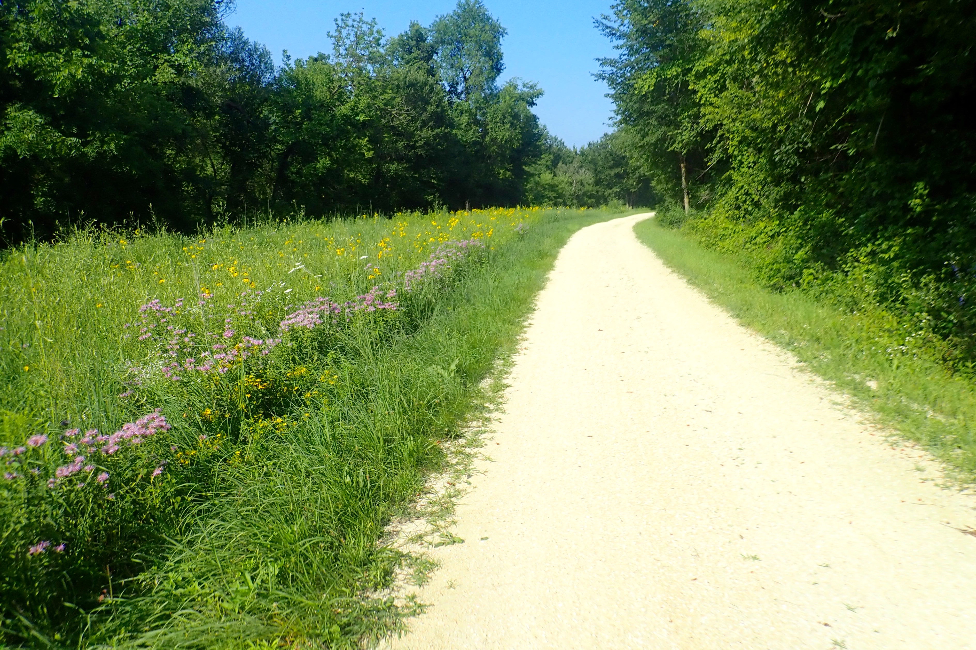
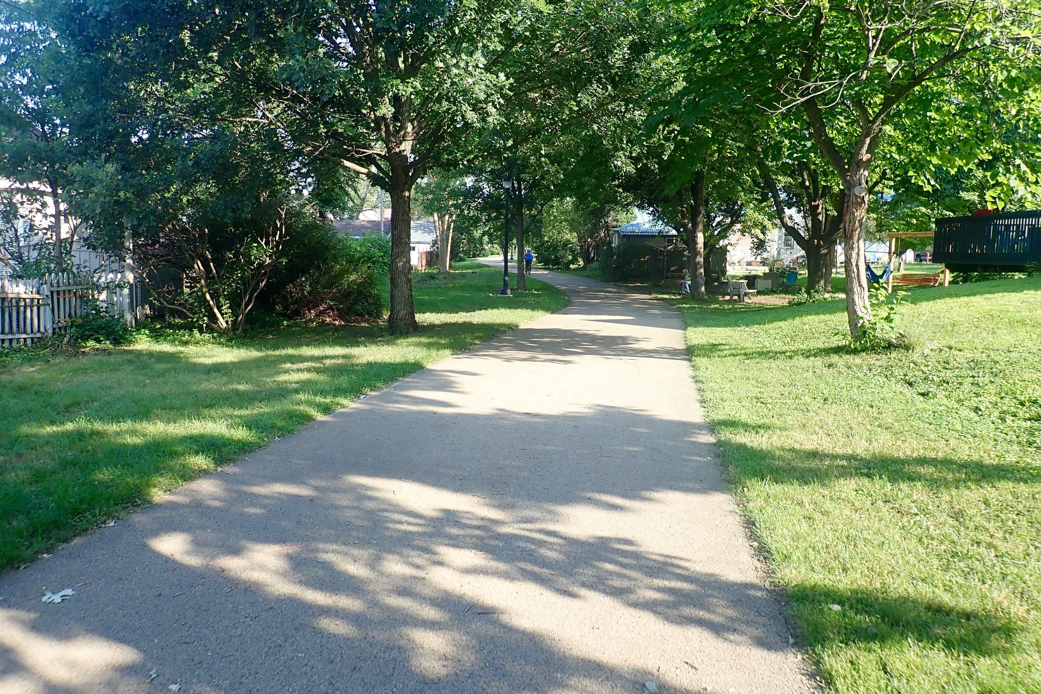
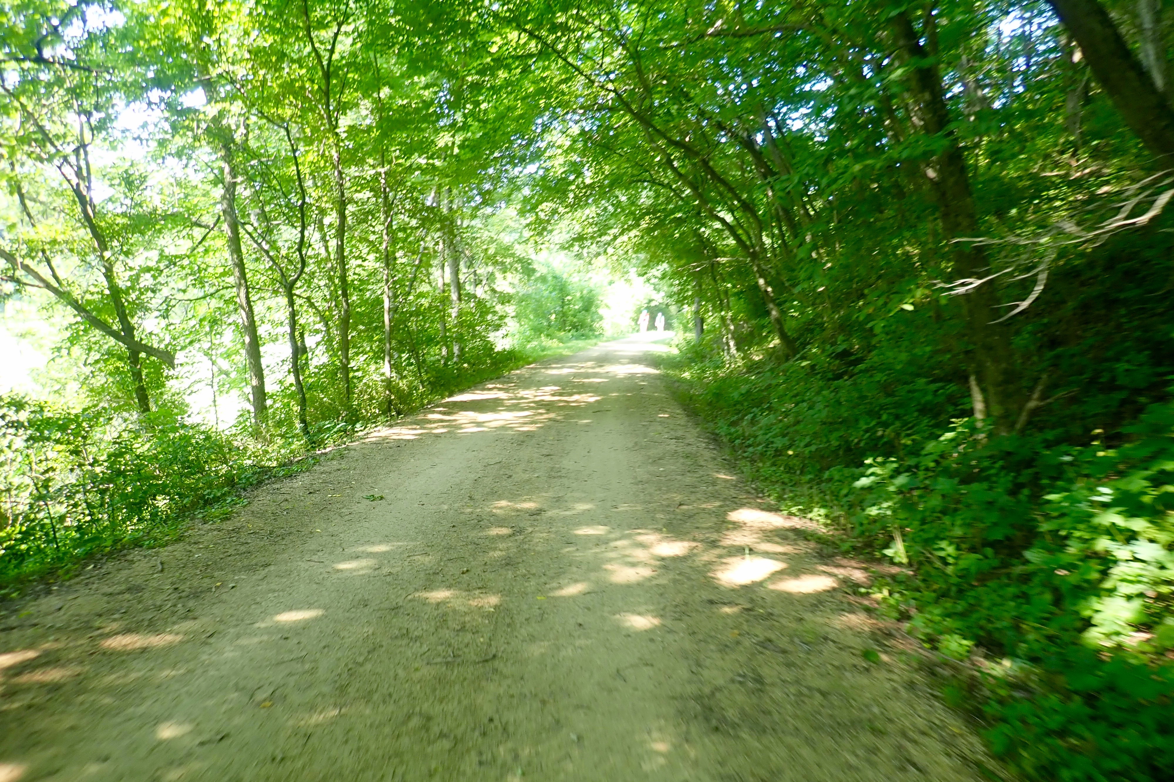
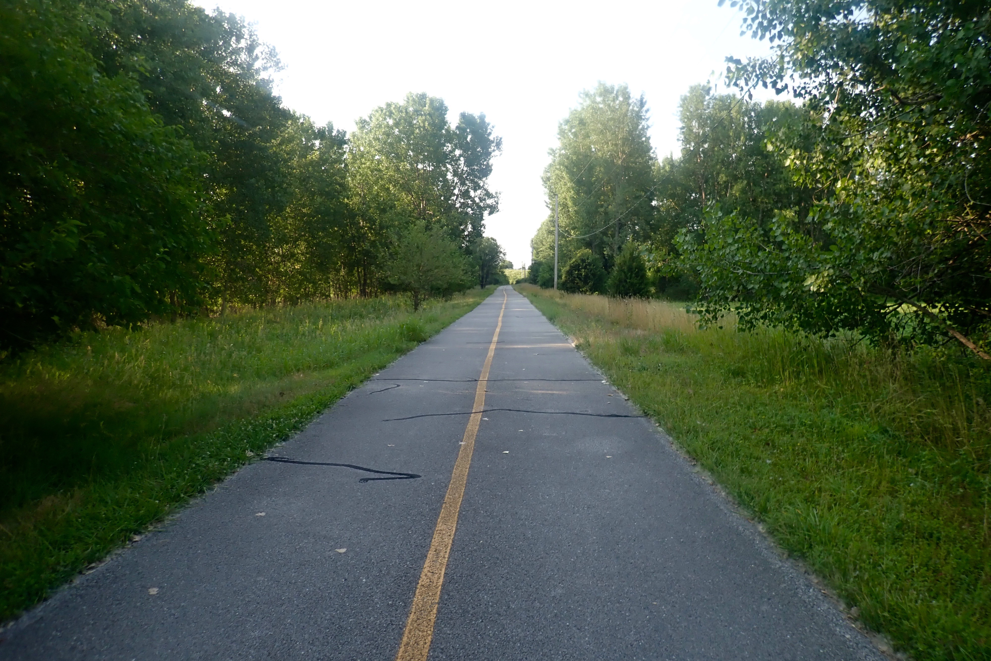
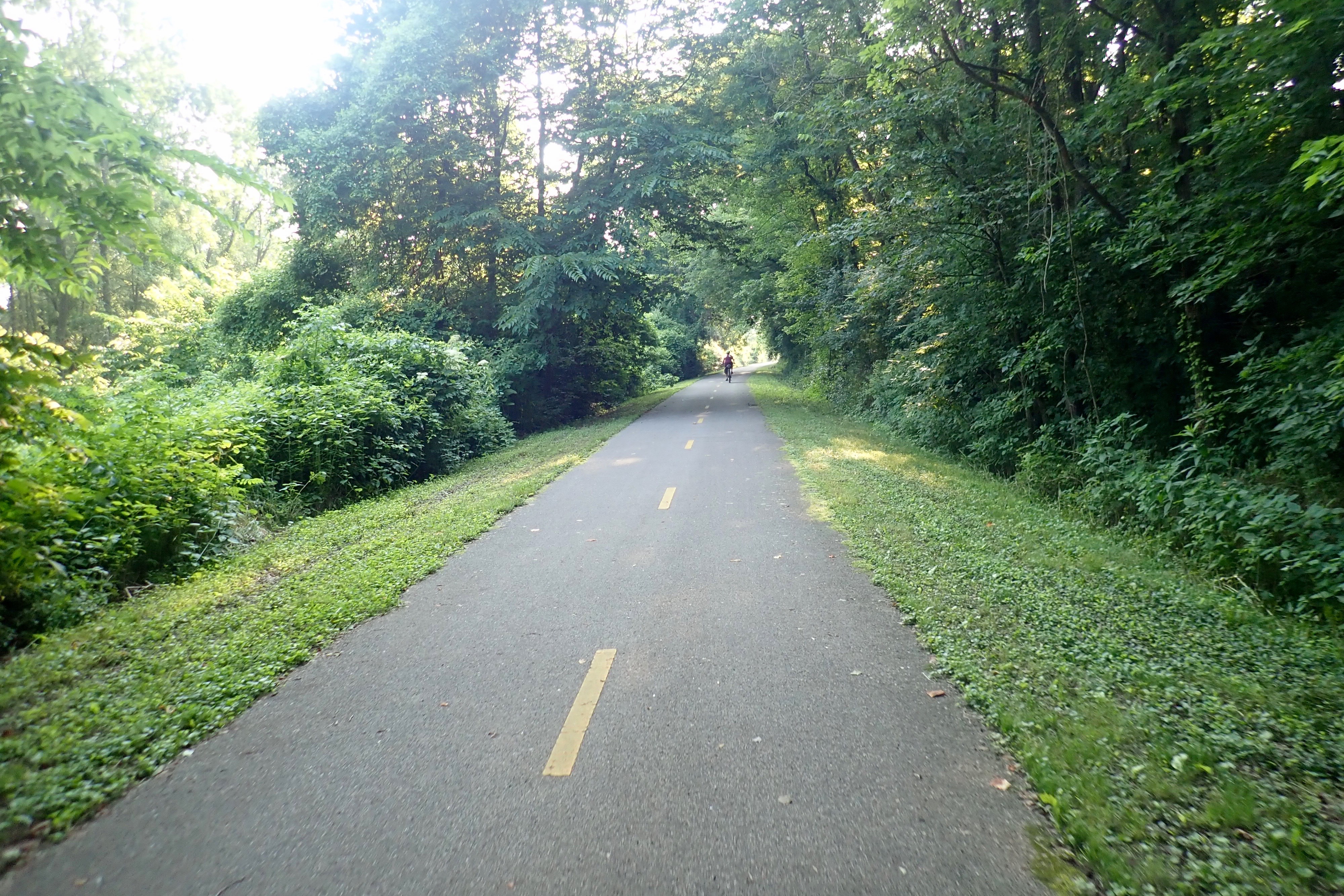
Same excellent surface. A day to look forward to! Leaving Graf:
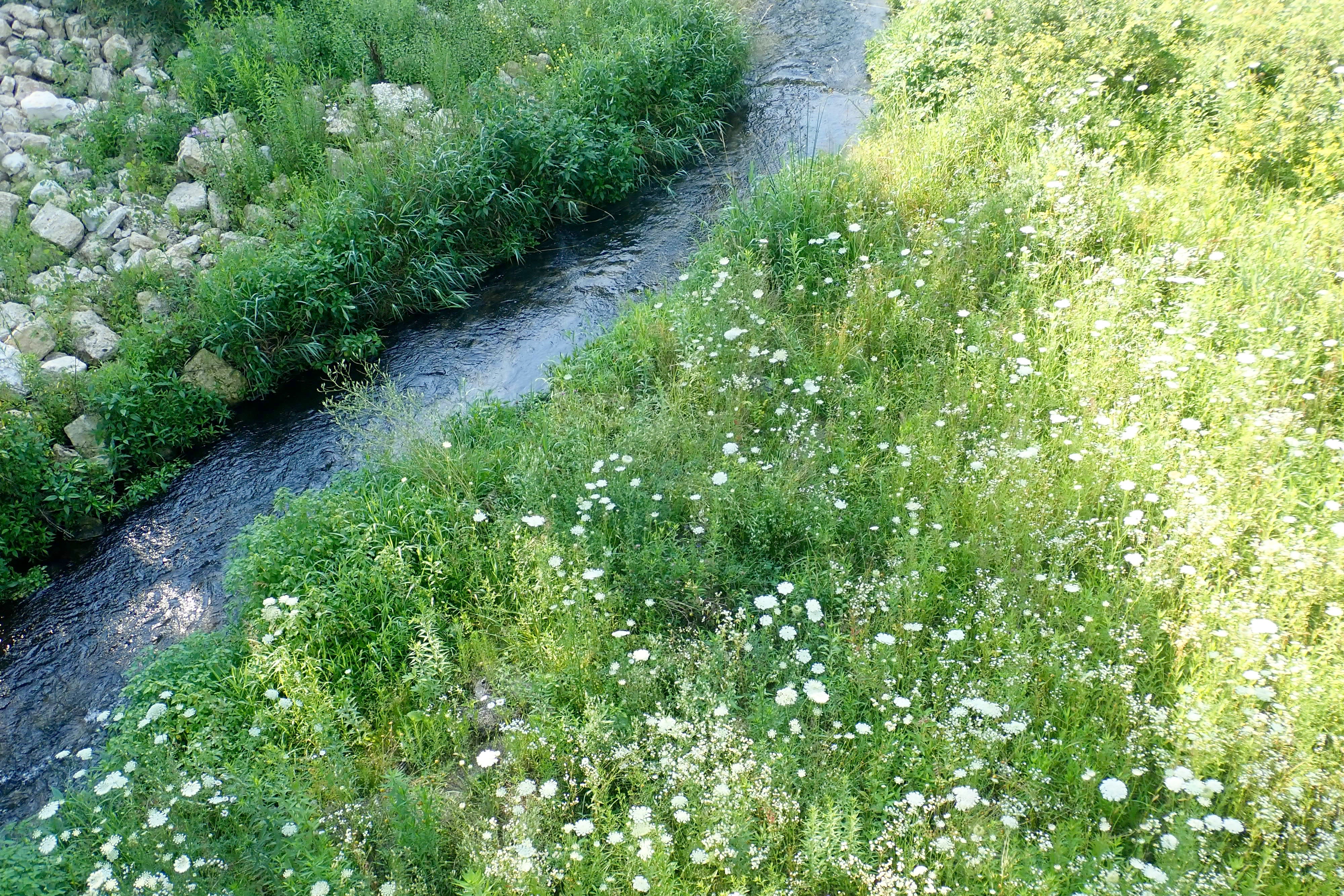
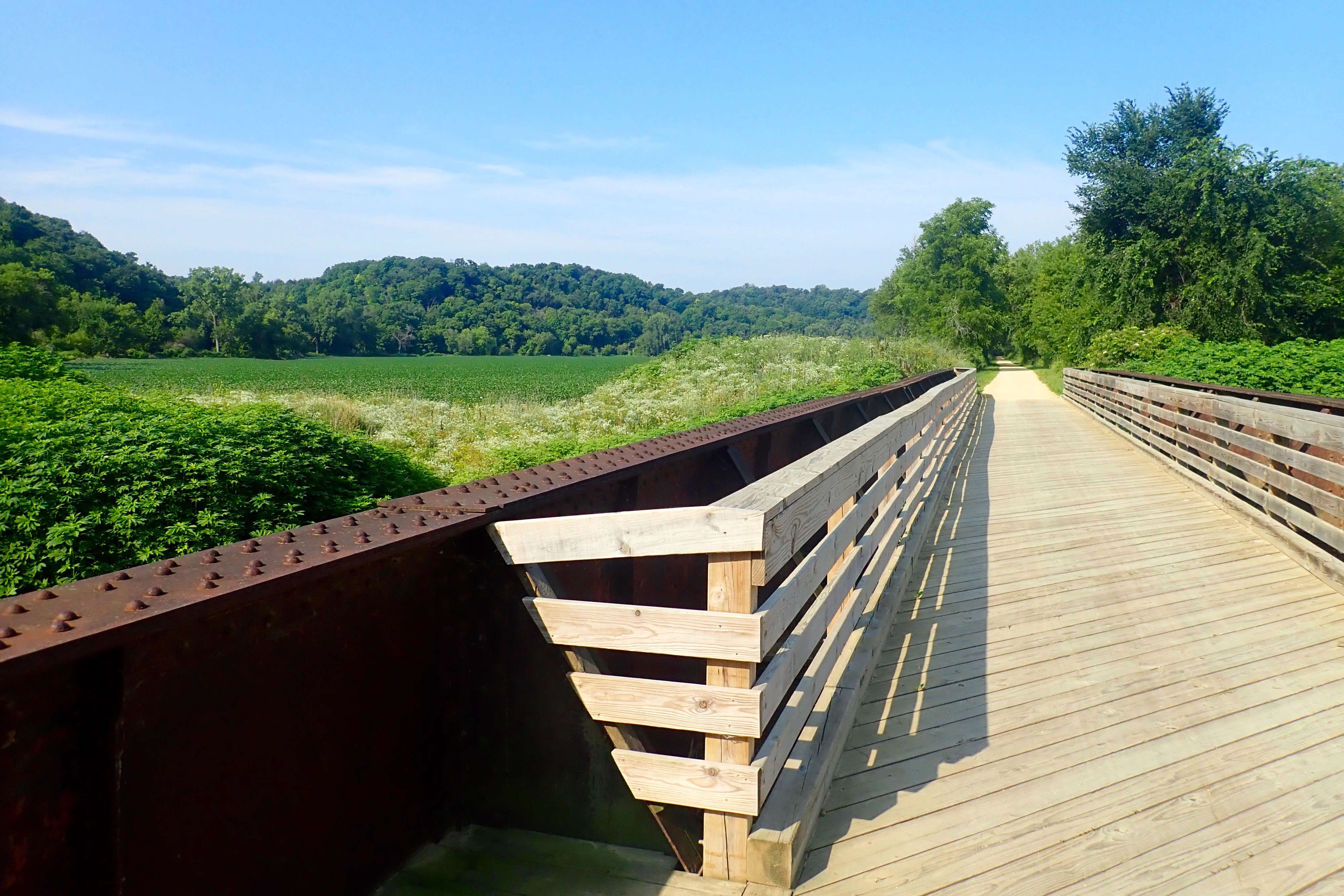
Looking over the side of a bridge:
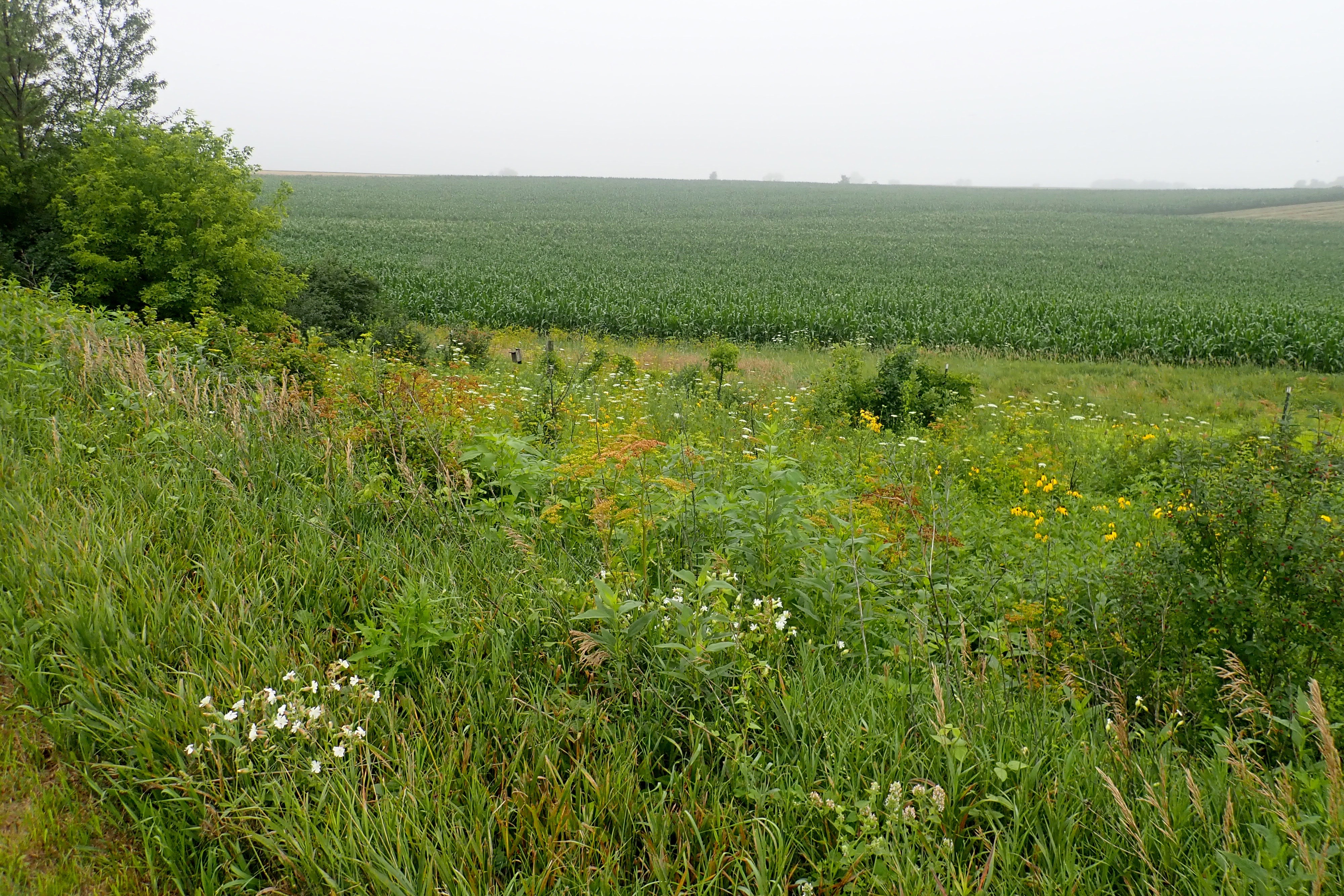
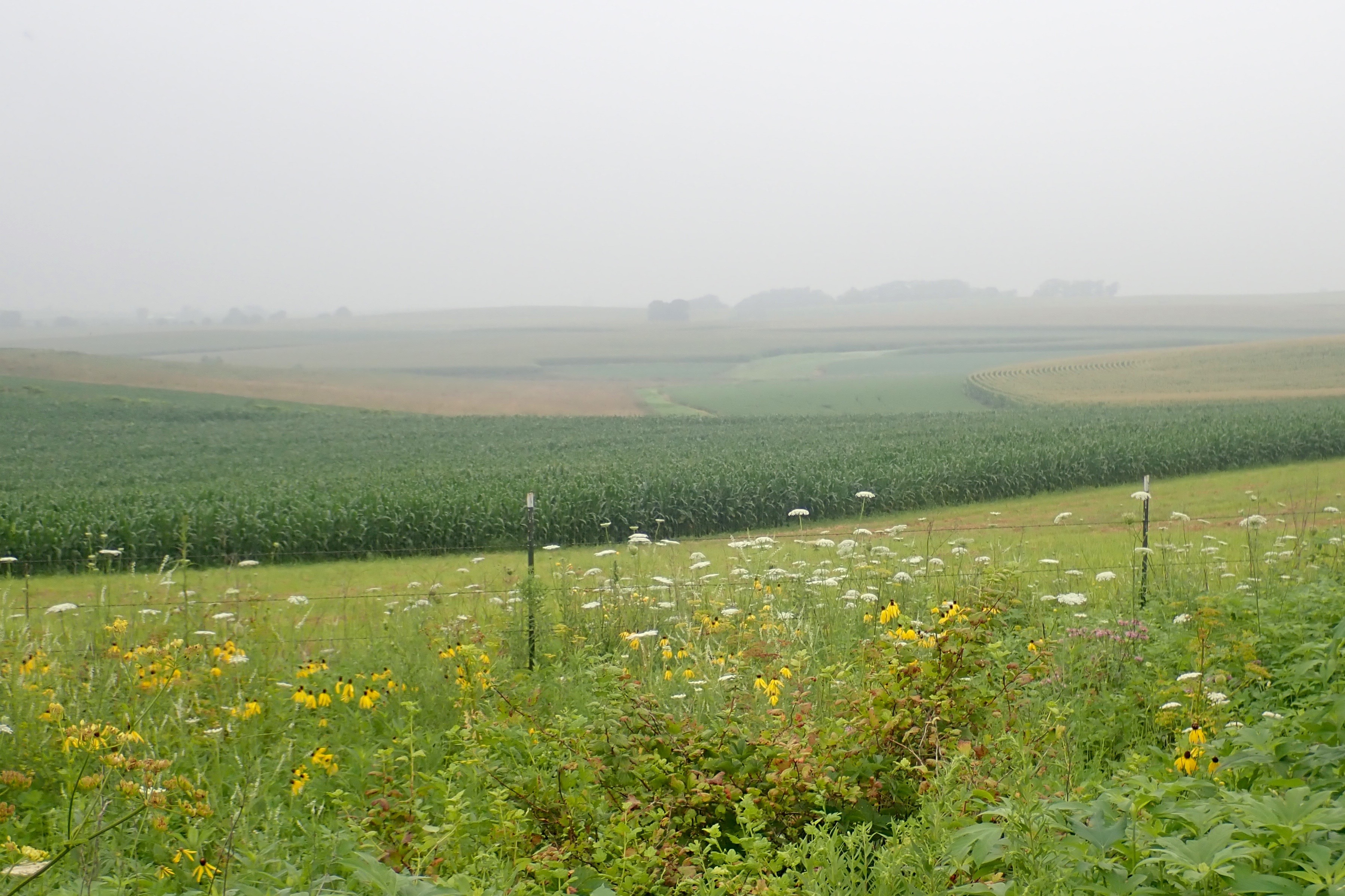
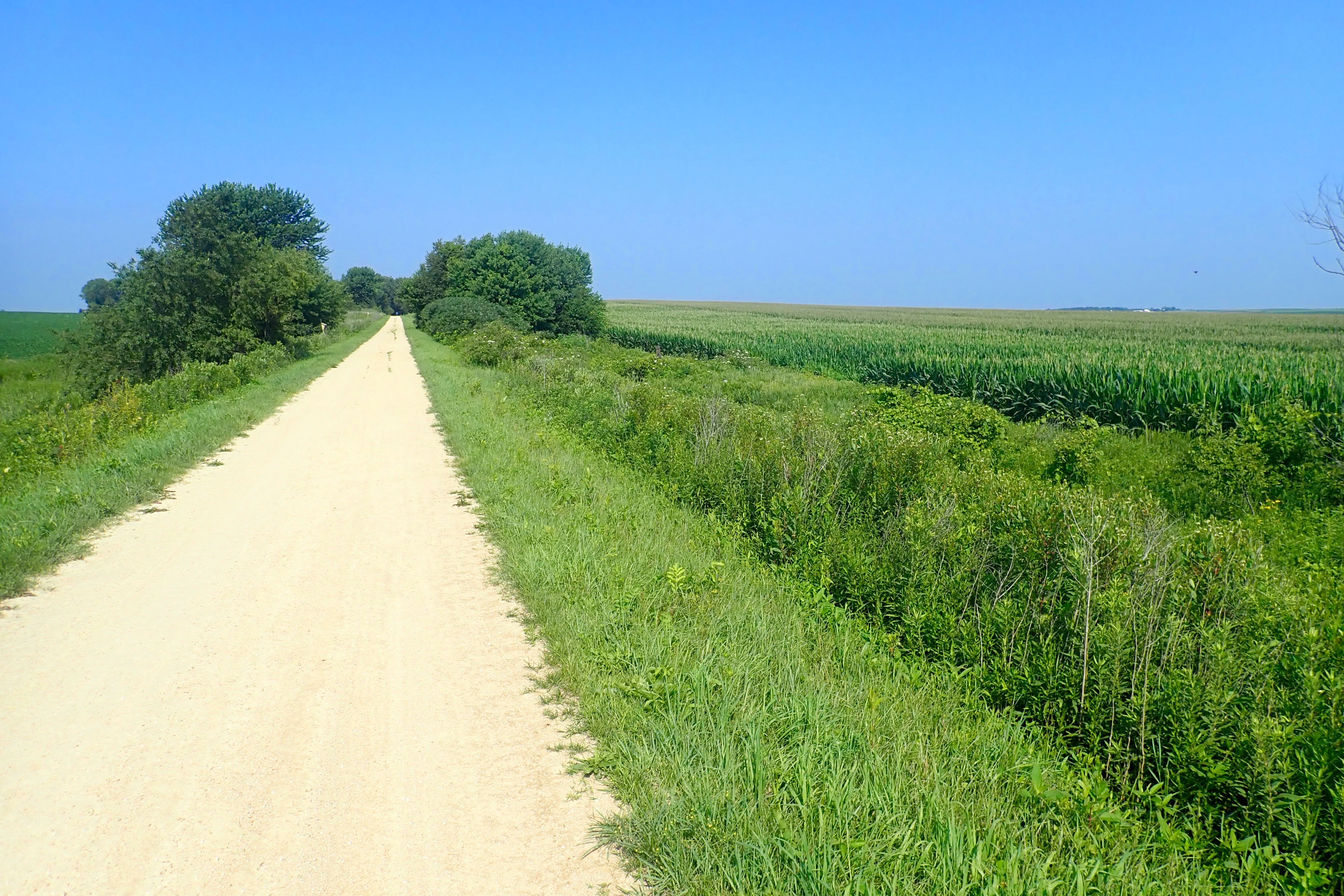
Corn, corn, corn, and soybeans everywhere:
The trail ended in Dyersville. Time to turn around. But there was another option, an attraction about 5 miles away, riding country roads with no shoulder and essentially no traffic. I wanted to do it, Billie agreed and we took off. About a mile later, we stopped and Billie said, “Arlete, I am NOT riding these rolling hills, but you can go on.” Ok … and we discussed our plan to meet up later. Billie turned around and rode (downhill) back to Dyersville, then a left onto the Heritage Trail. We would meet up later near Farley. Today’s ride for me was 32 miles. The detour I took will be the next blog post.
However, there is a postscript to the end of the ride. I met Billie on the Heritage Trail at a rest area near Farley. It was gently downhill back to Graf and a great downhill run. However, Billie’s rear tire lost air and she found a rock in the tire that would continue to leak air. Back to Bicycle World, open from 12-4 on Sunday! Once again, hurray!, the young man fixed the flat tire in record time. Great bike shop!
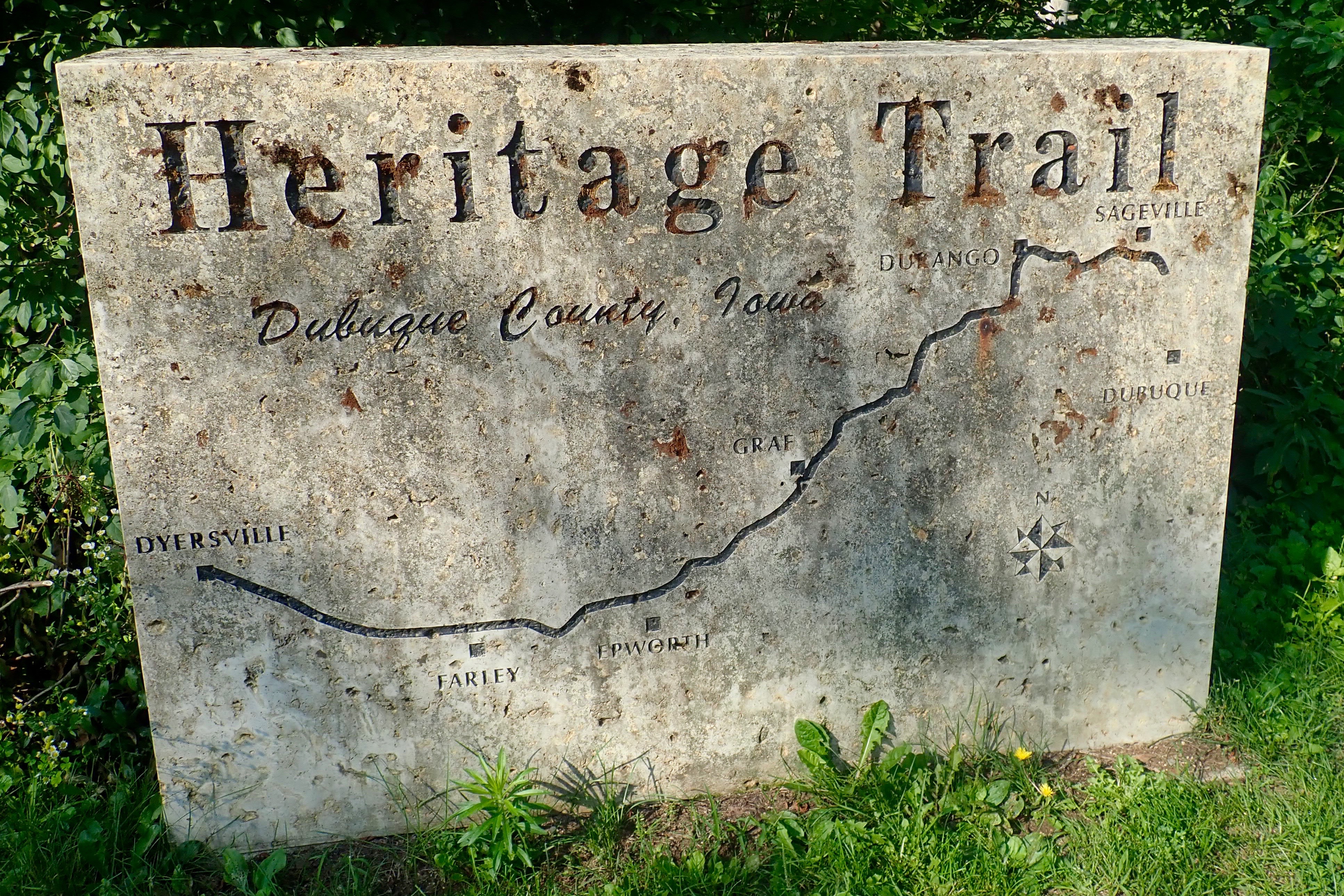
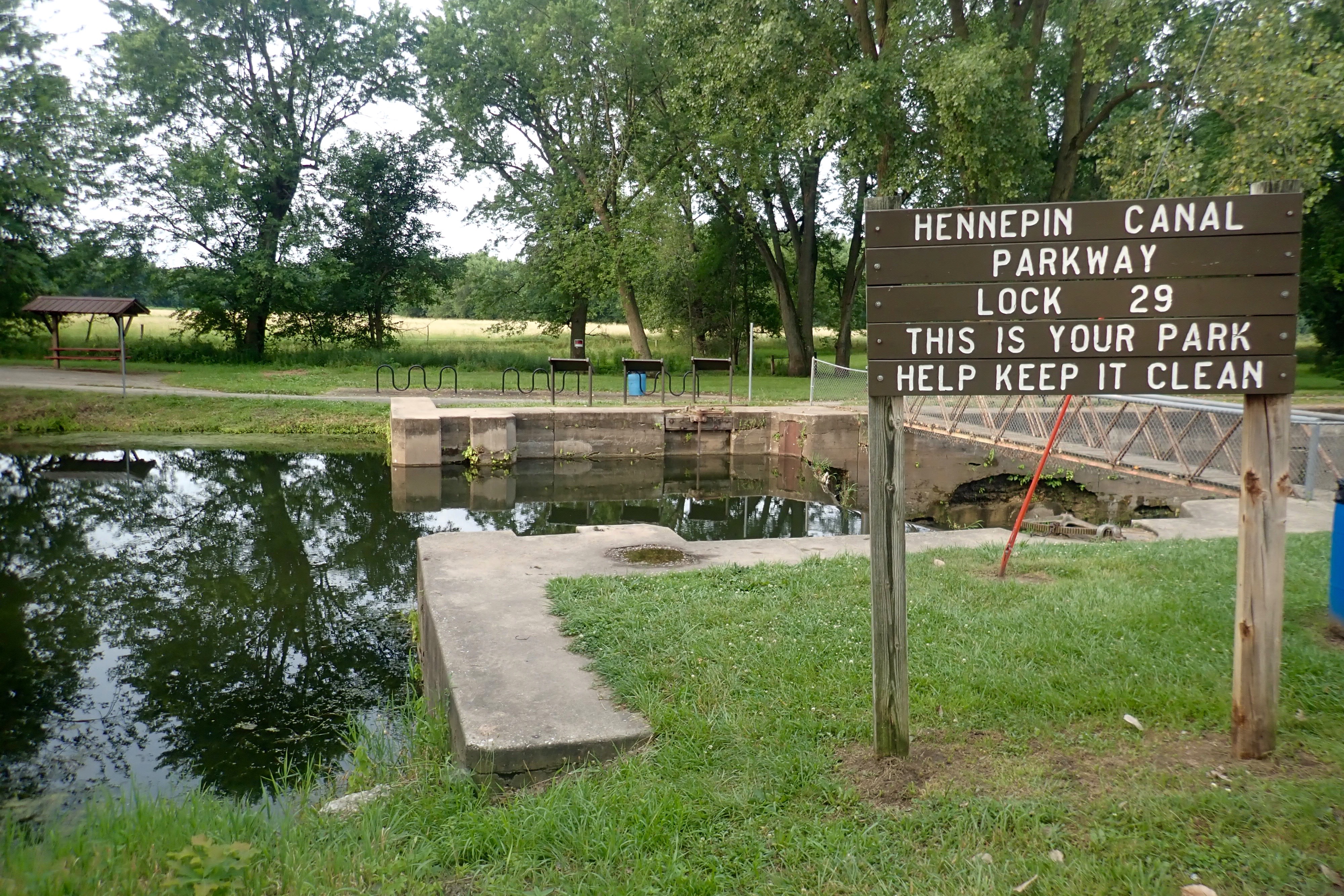
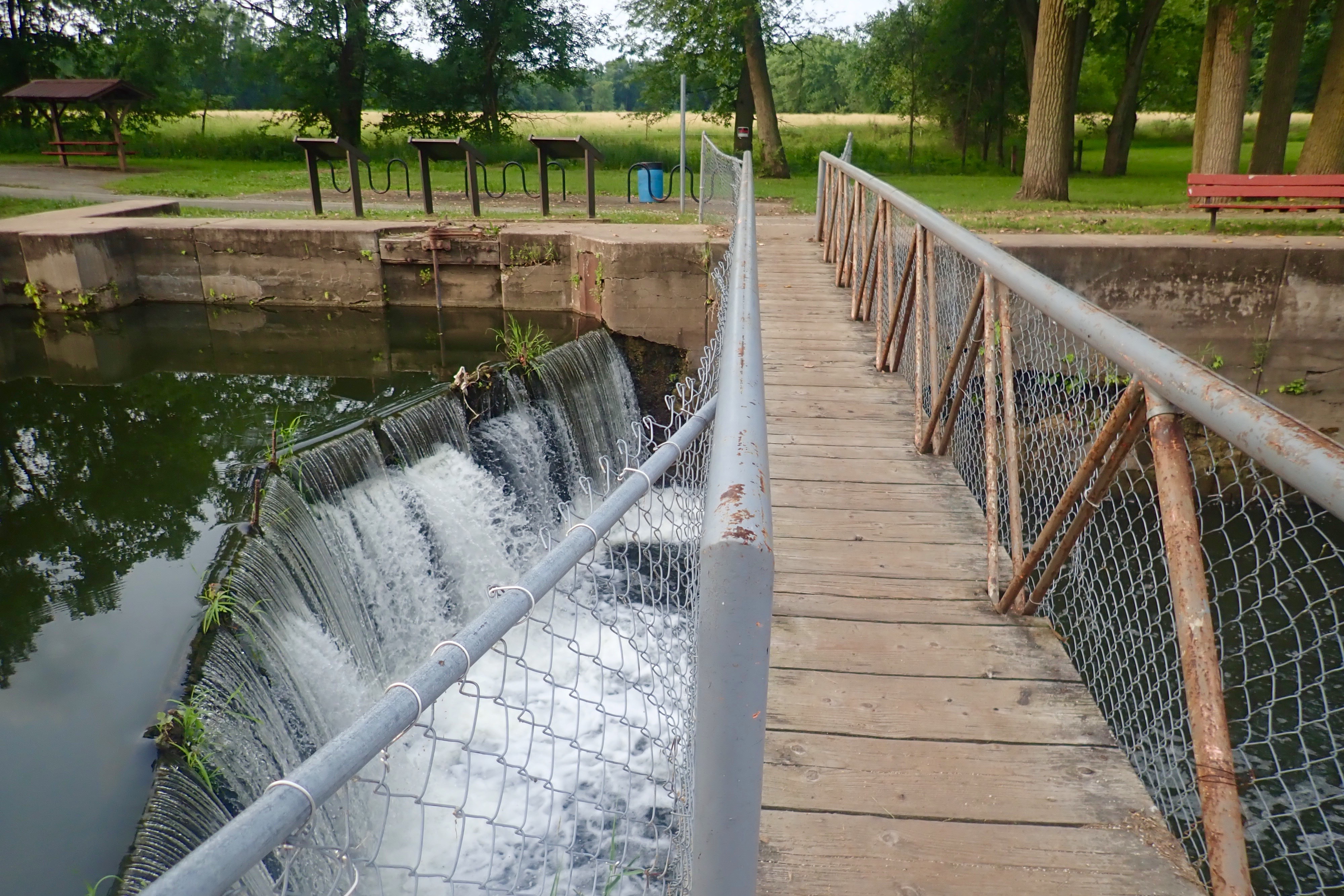
We drove across the Mississippi River to Dubuque Iowa to start the ride.
The trail was paved through the city, about 3.5 miles.
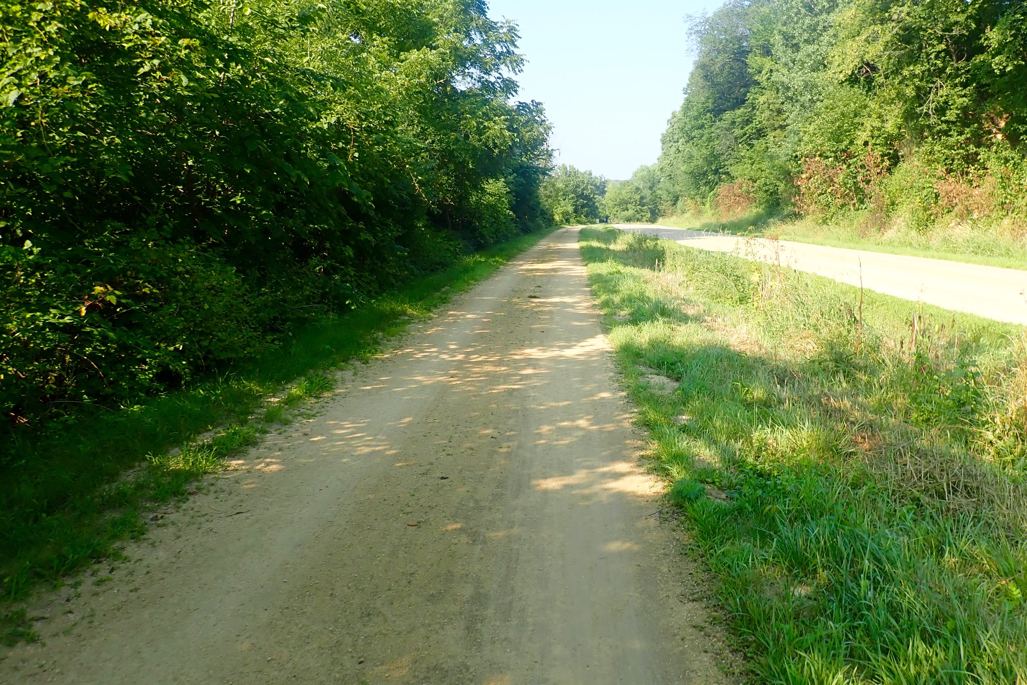
When the trail changed to hard-packed dirt with very light gravel, we were on the Heritage Trail.
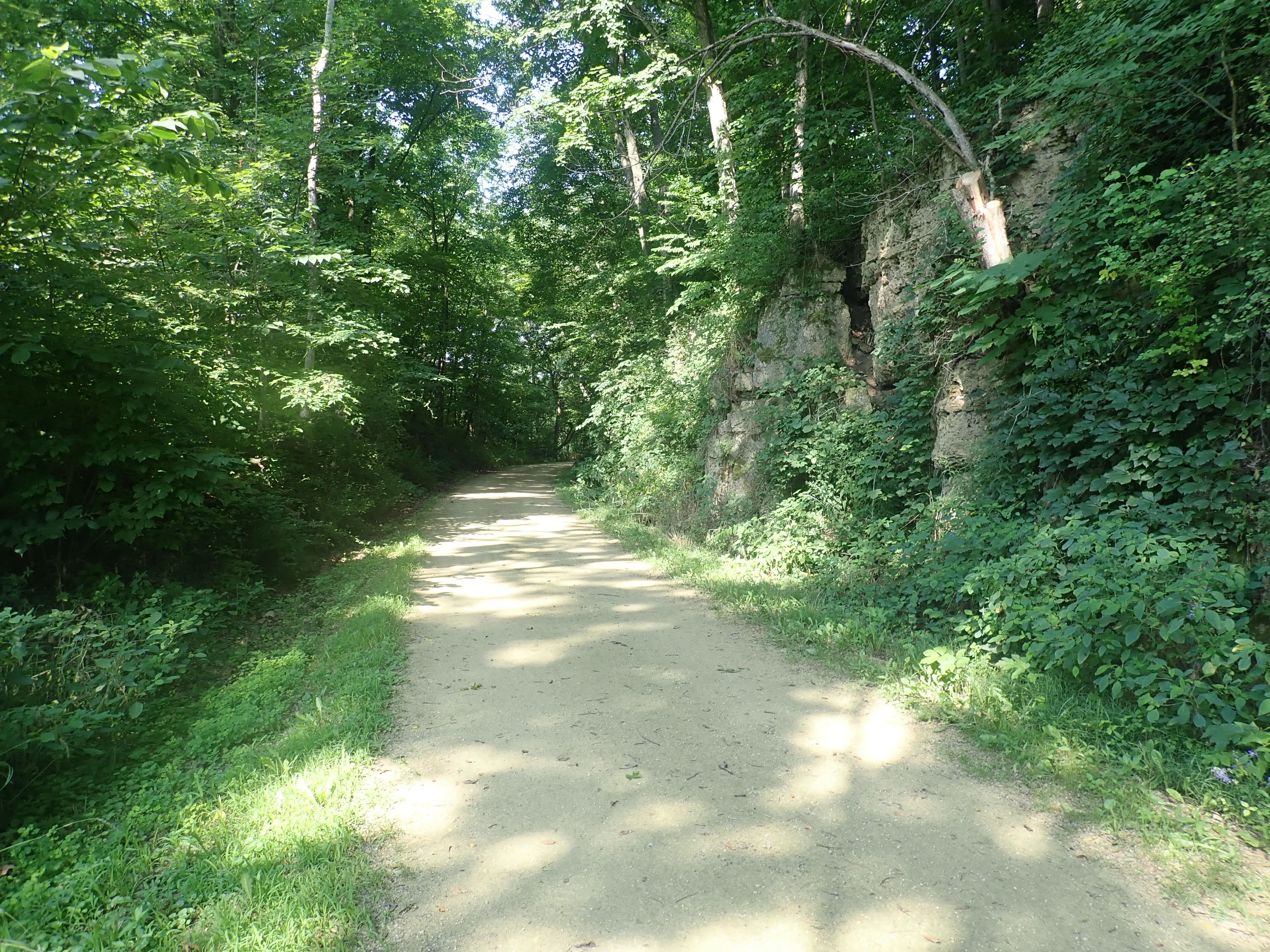
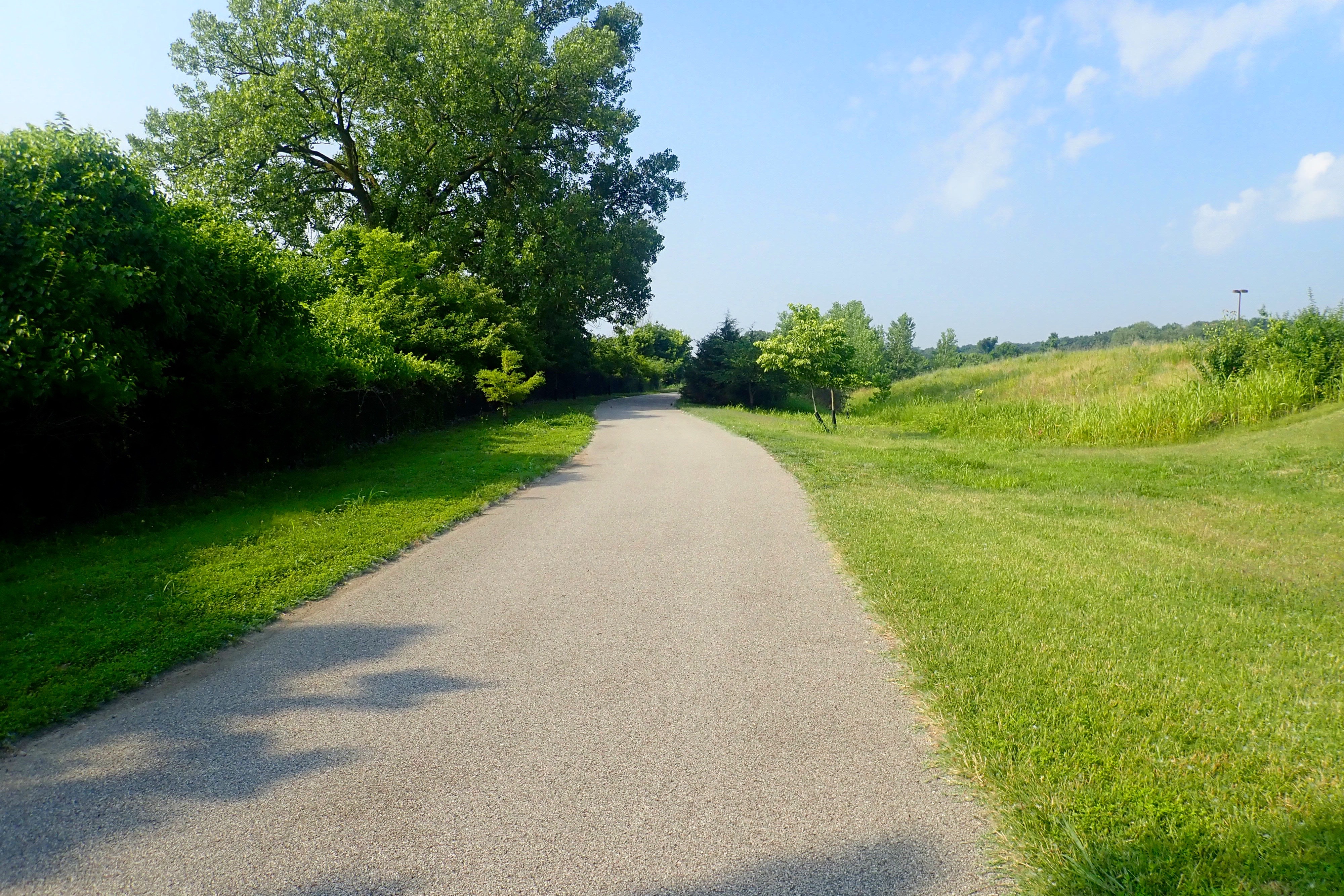
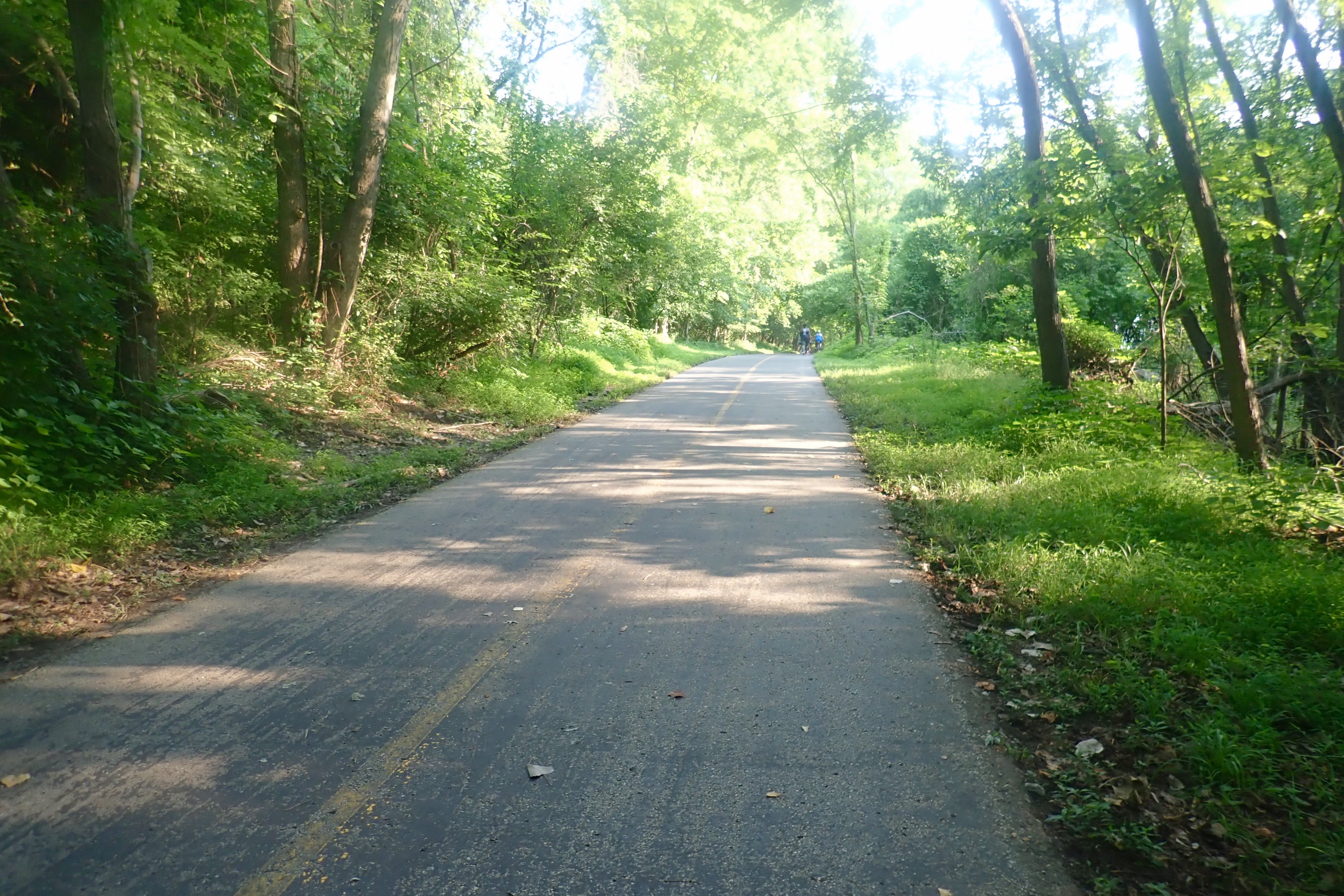
The trail was in excellent condition, the surface was excellent, just as good as asphalt!
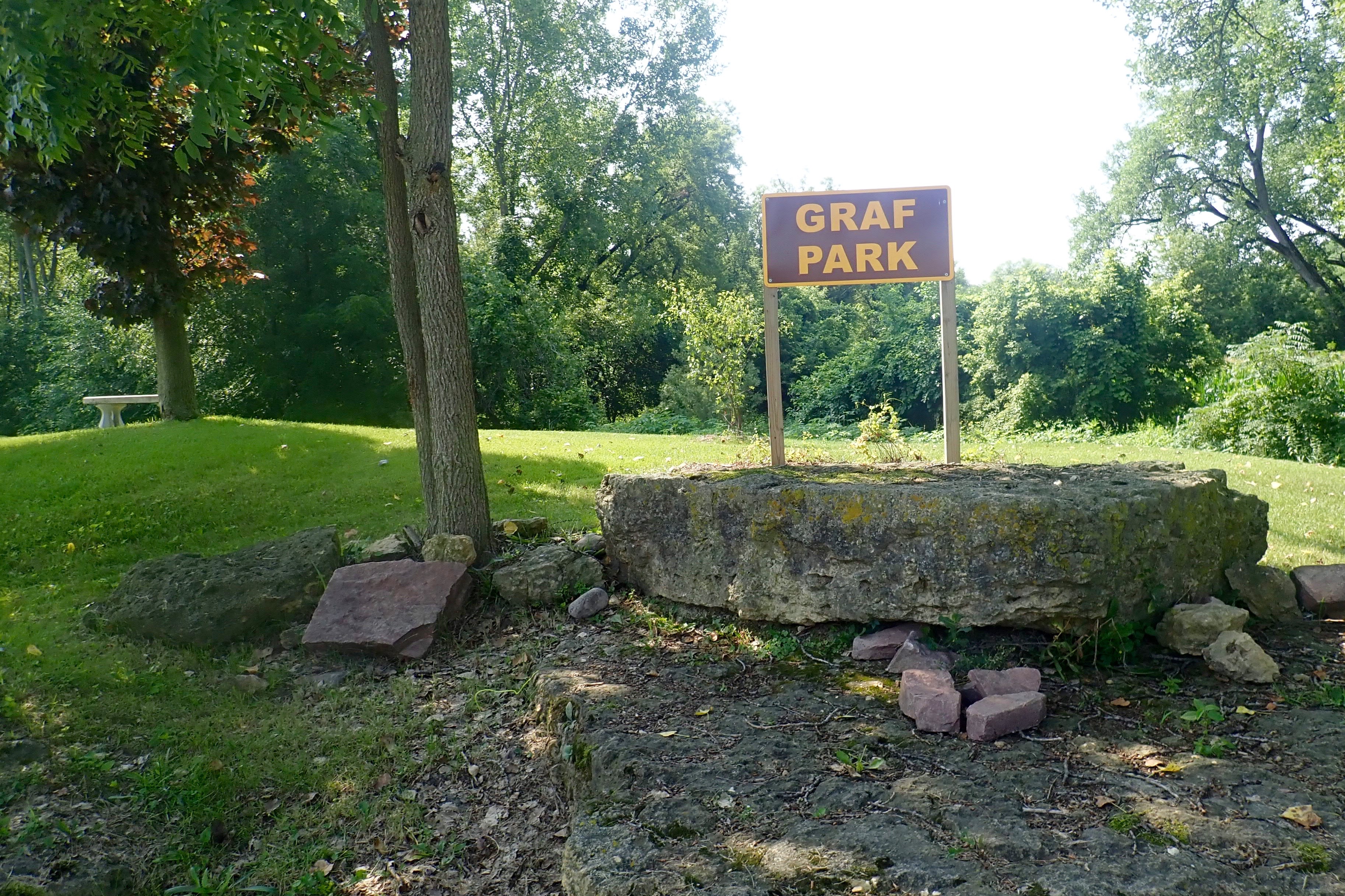
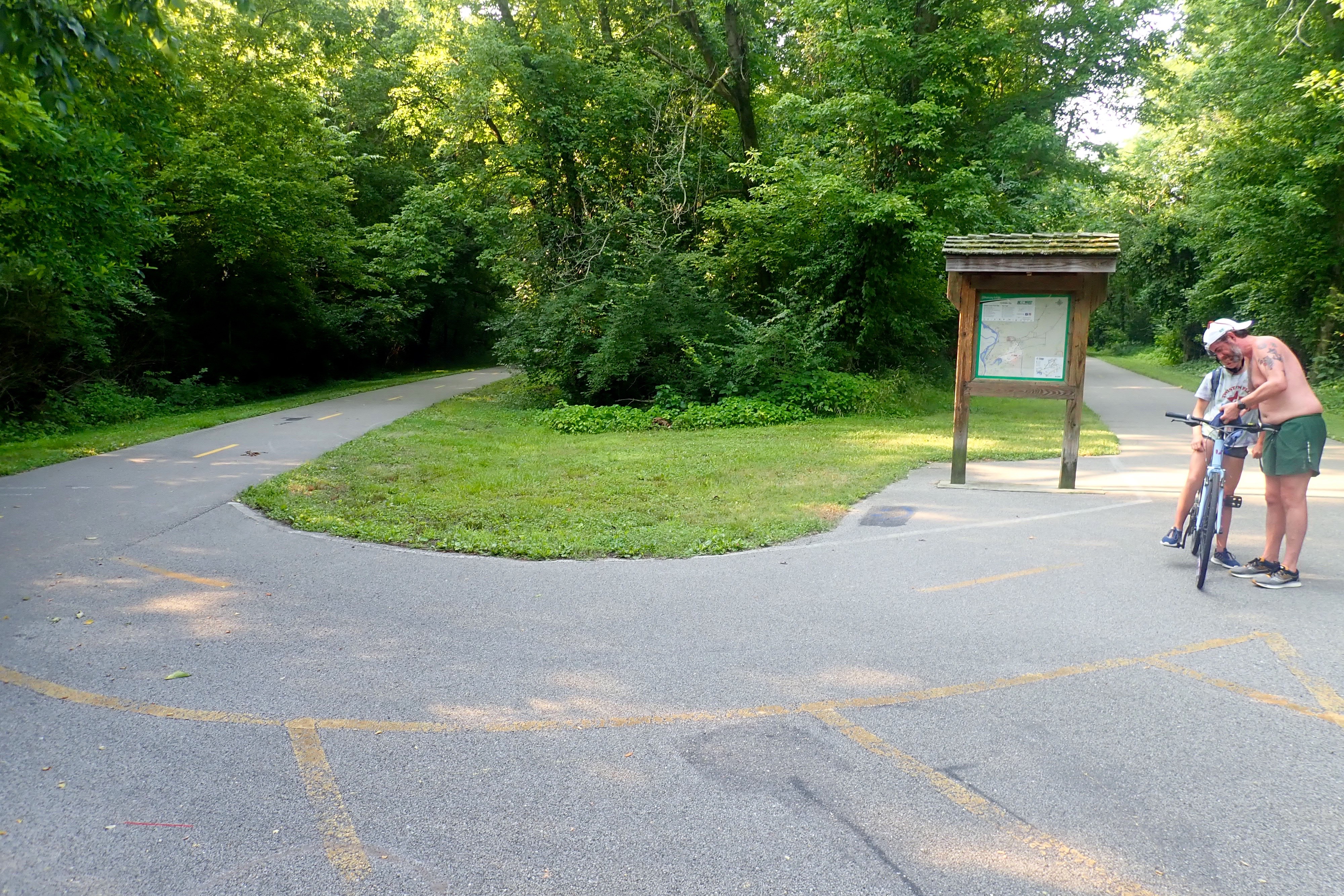
Our turnaround point was Graf Park.
Great trail. Currently on the Top Ten Trails list. 31 miles.
I had noticed a “thump” in my back tire with every rotation and Billie thought it had a little wobble. So right after the ride we found a bike shop and hoped we could get it fixed immediately … that little story comes next.
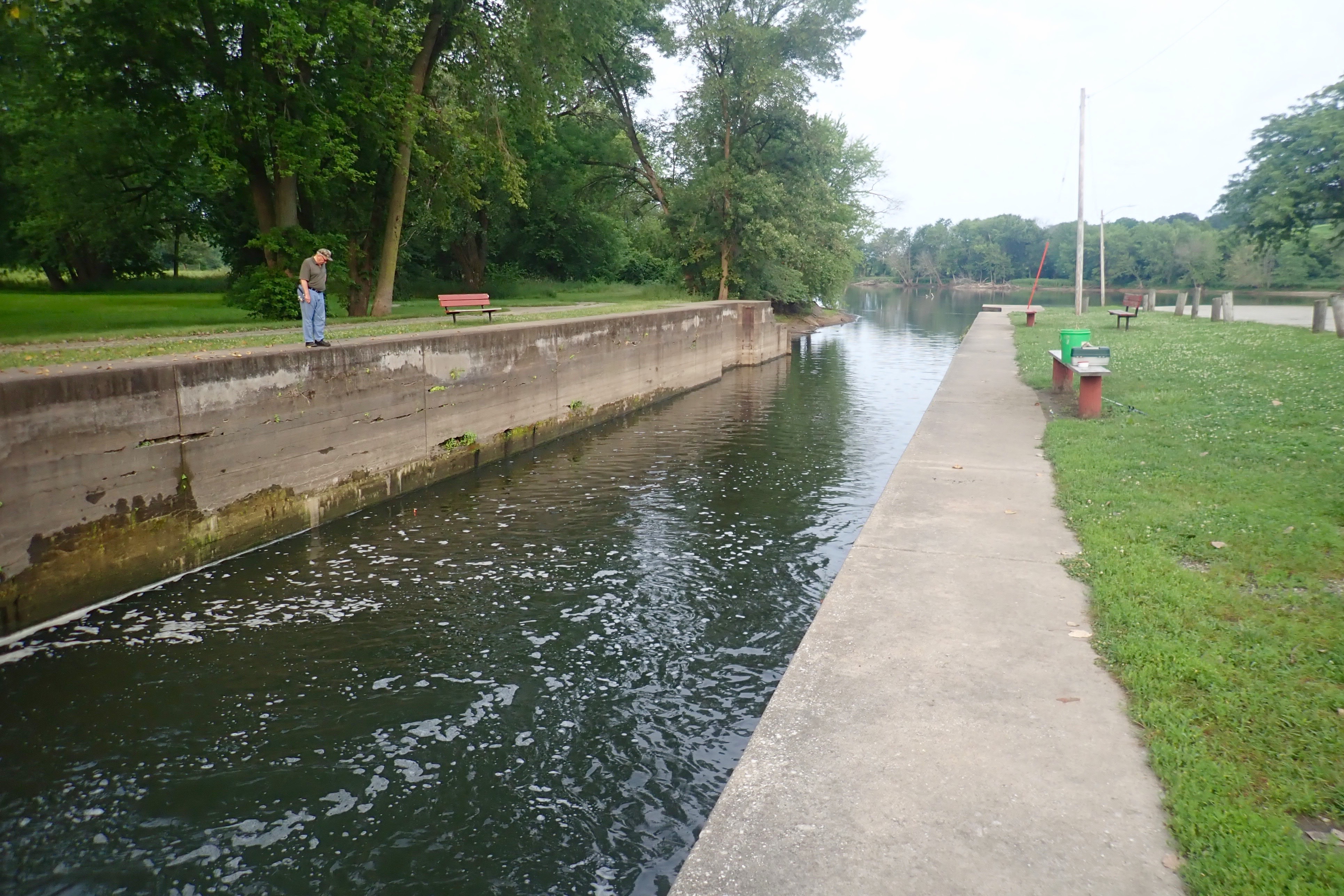
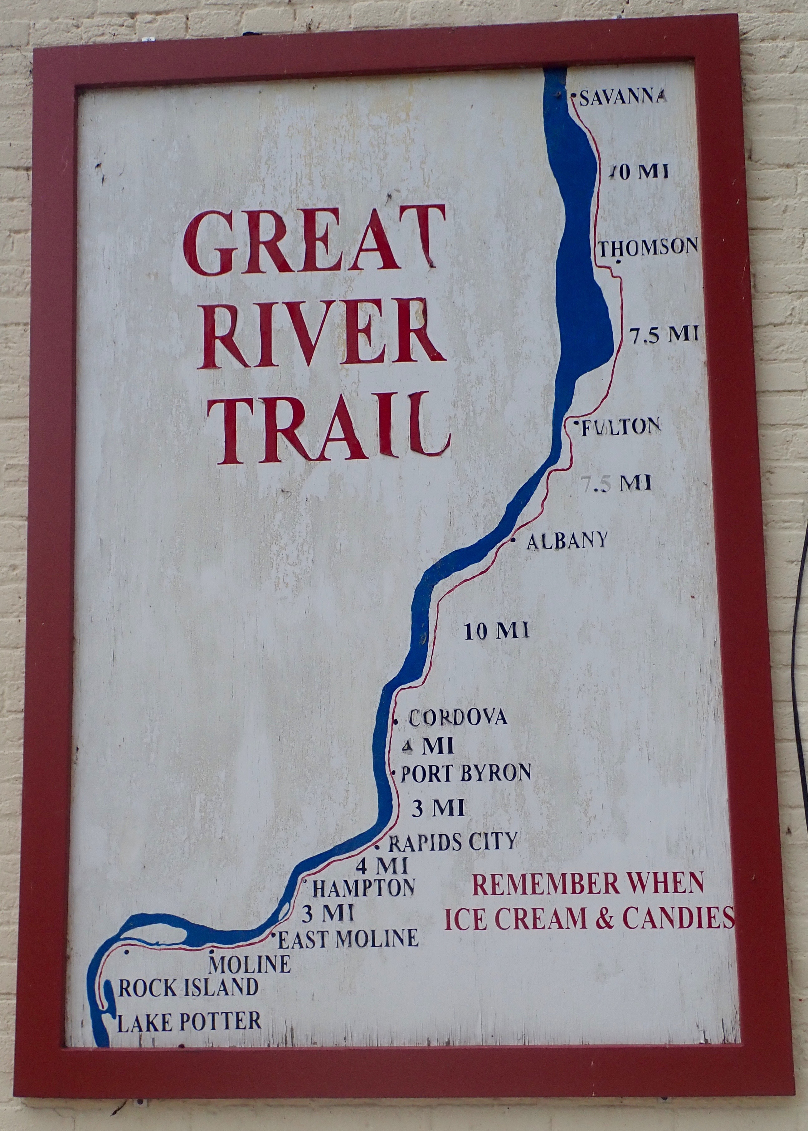
From Rock Island to Rapids City Illinois and back. We actually started in the middle and rode out and back in each direction until we’d ridden the number of miles that felt good.
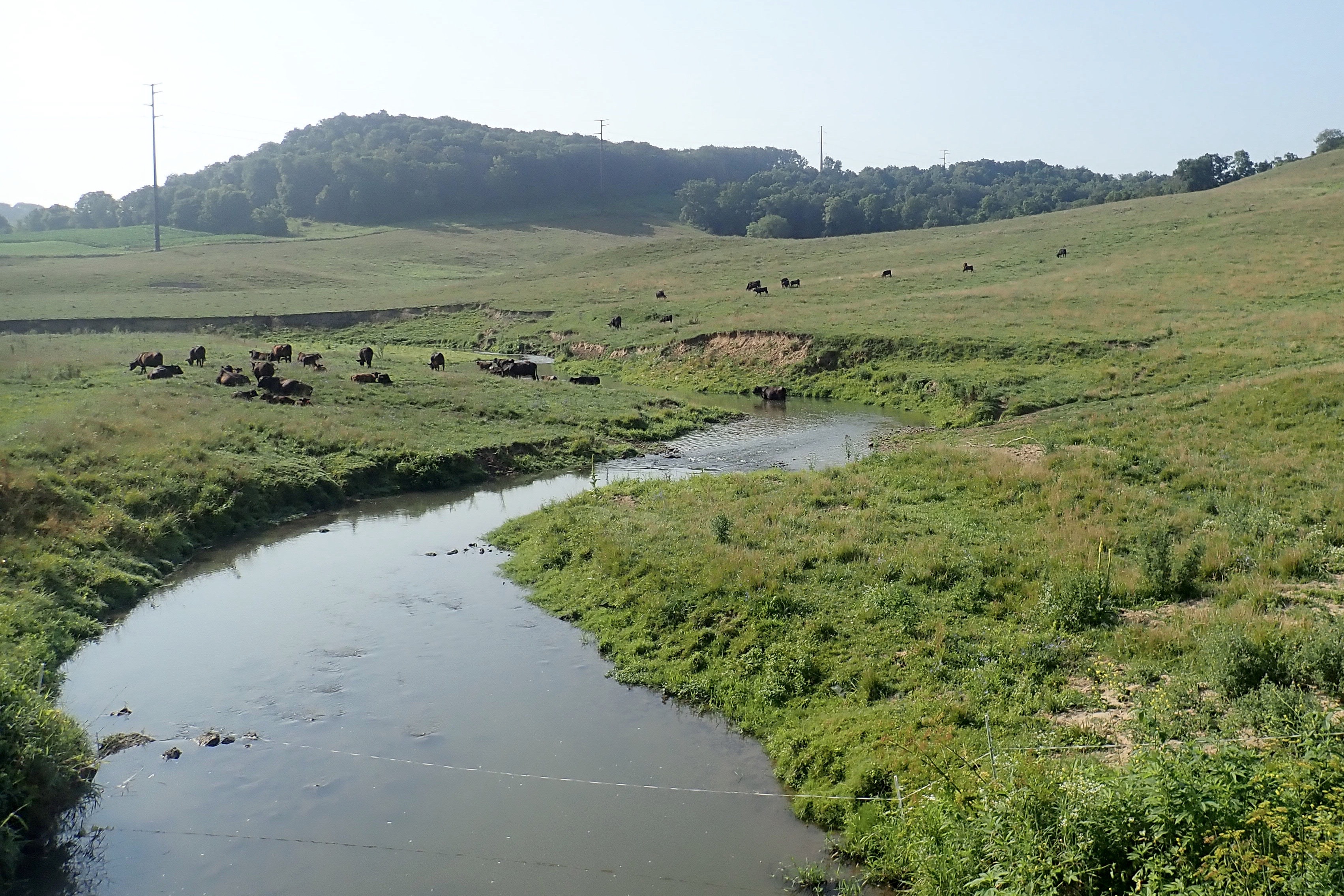
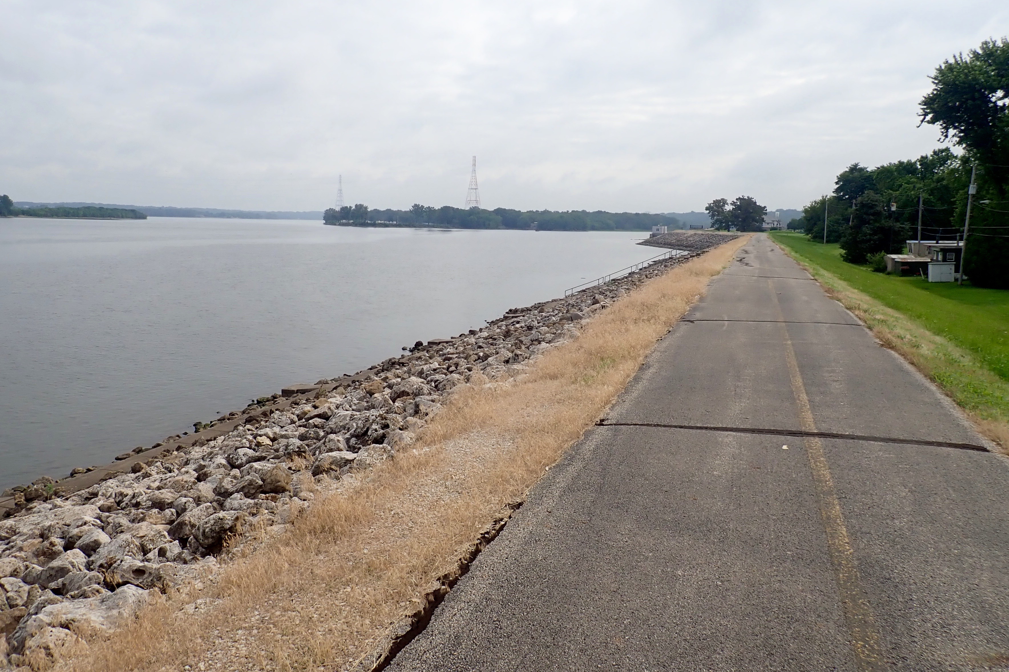
Some of the trail was on top of a levee, the Mississippi River to the left:
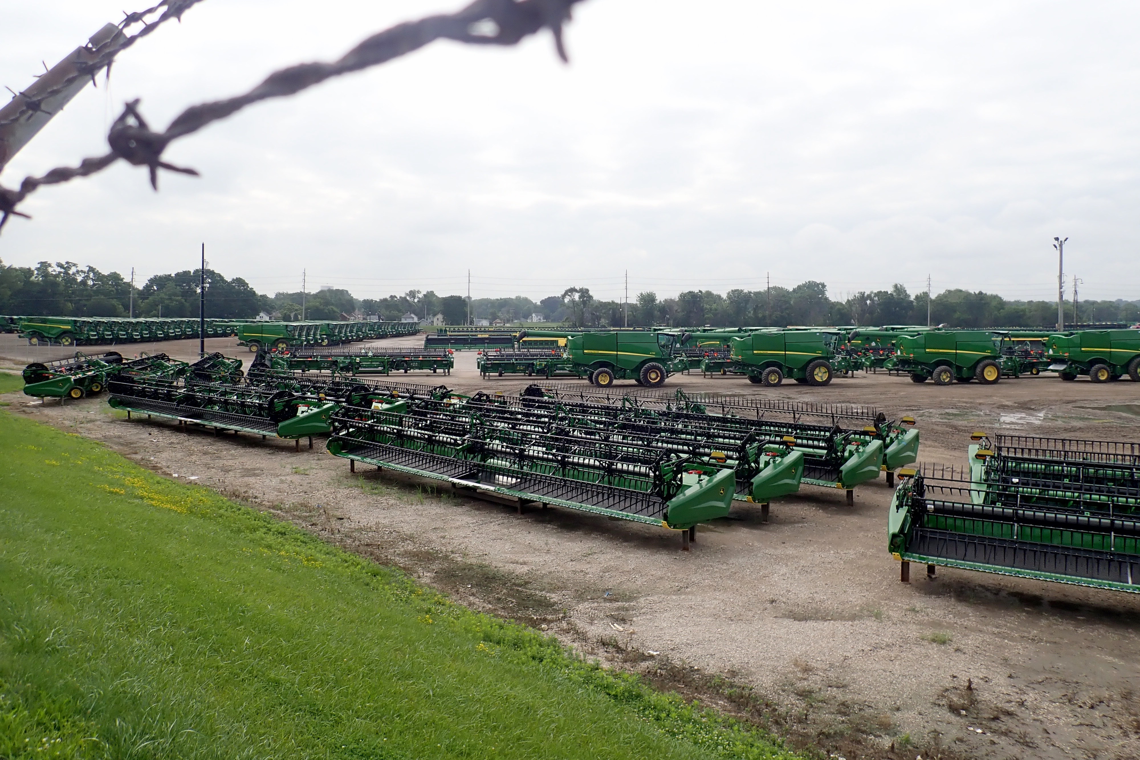
Behind a John Deere manufacturing plant:
In the village of Hampton IL:
We turned around in Rapids City and rode back and then beyond our starting point. Beautiful little pocket parks with benches and shade in the city of Moline.
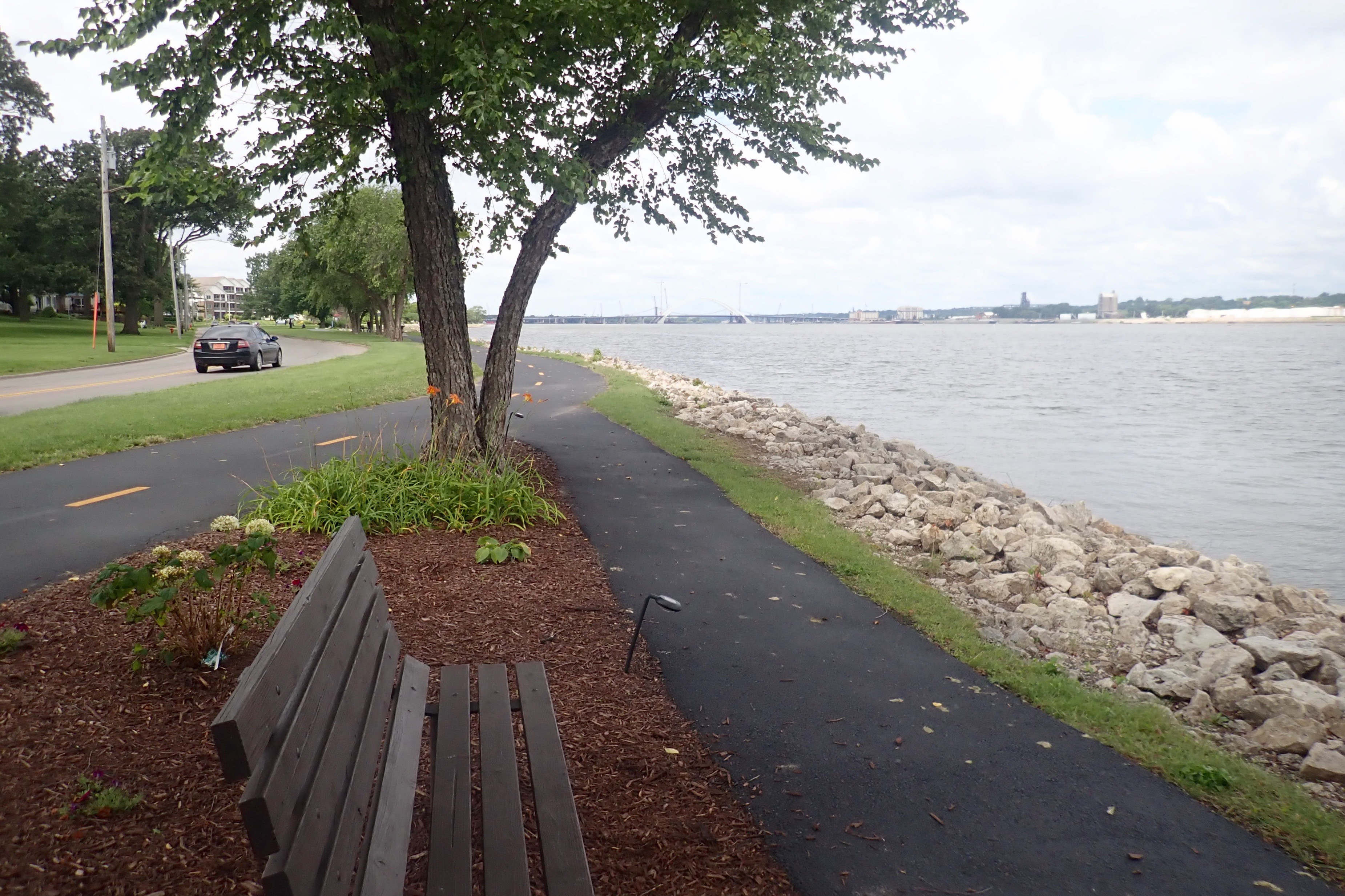
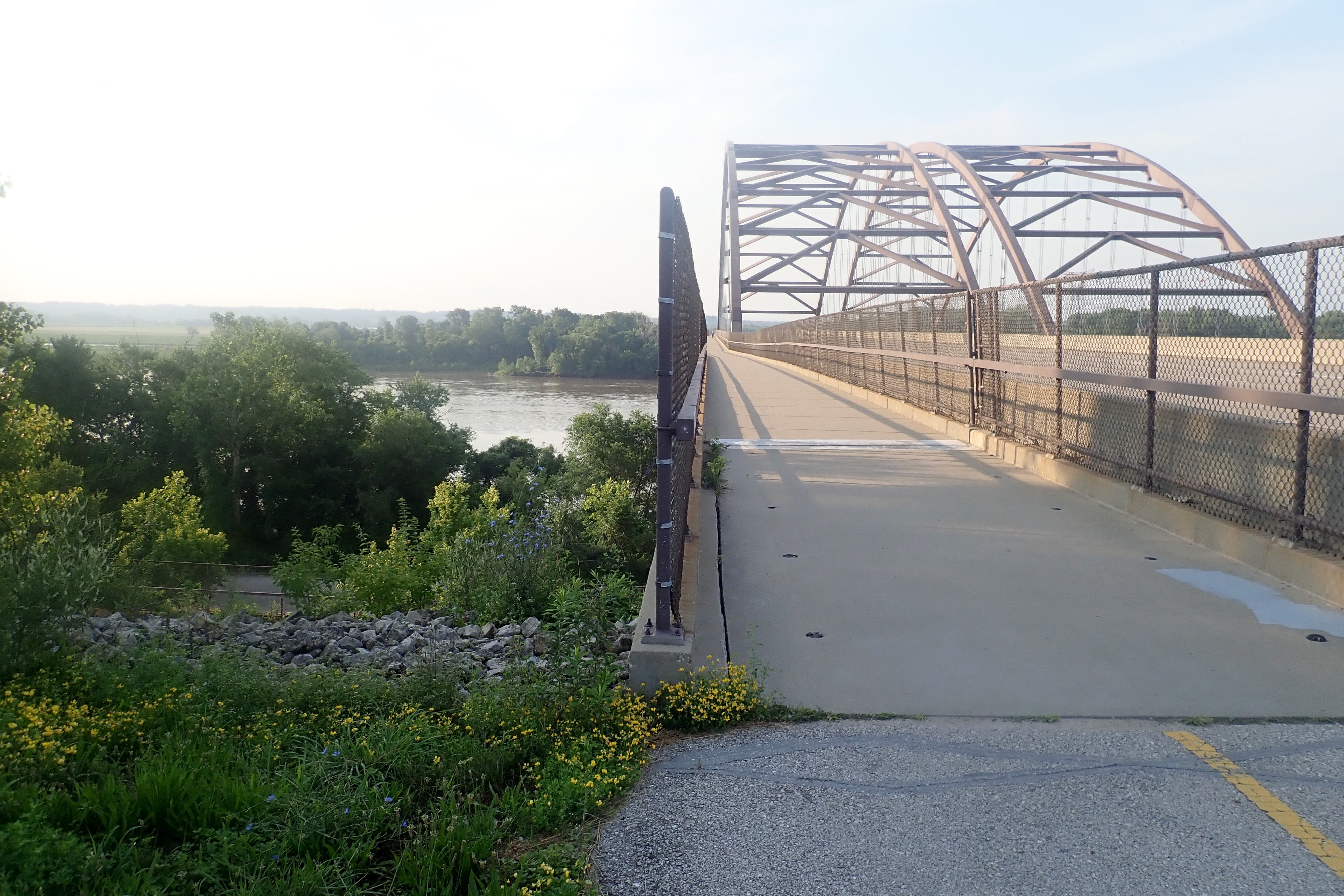
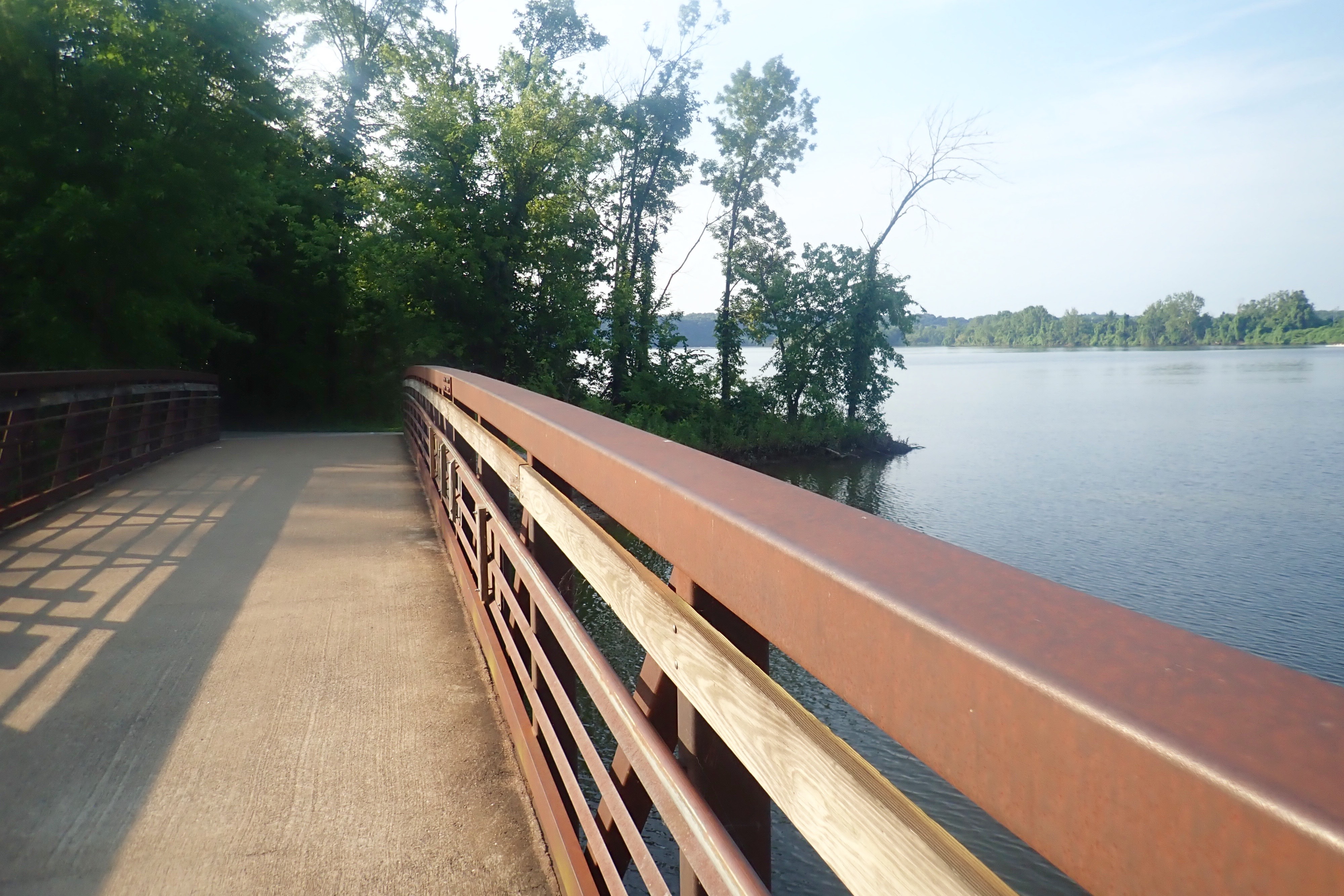
The bridge across the Mississippi River to Davenport Iowa:
Excellent ride, two out-and-backs, 28 miles. Beautiful trail.
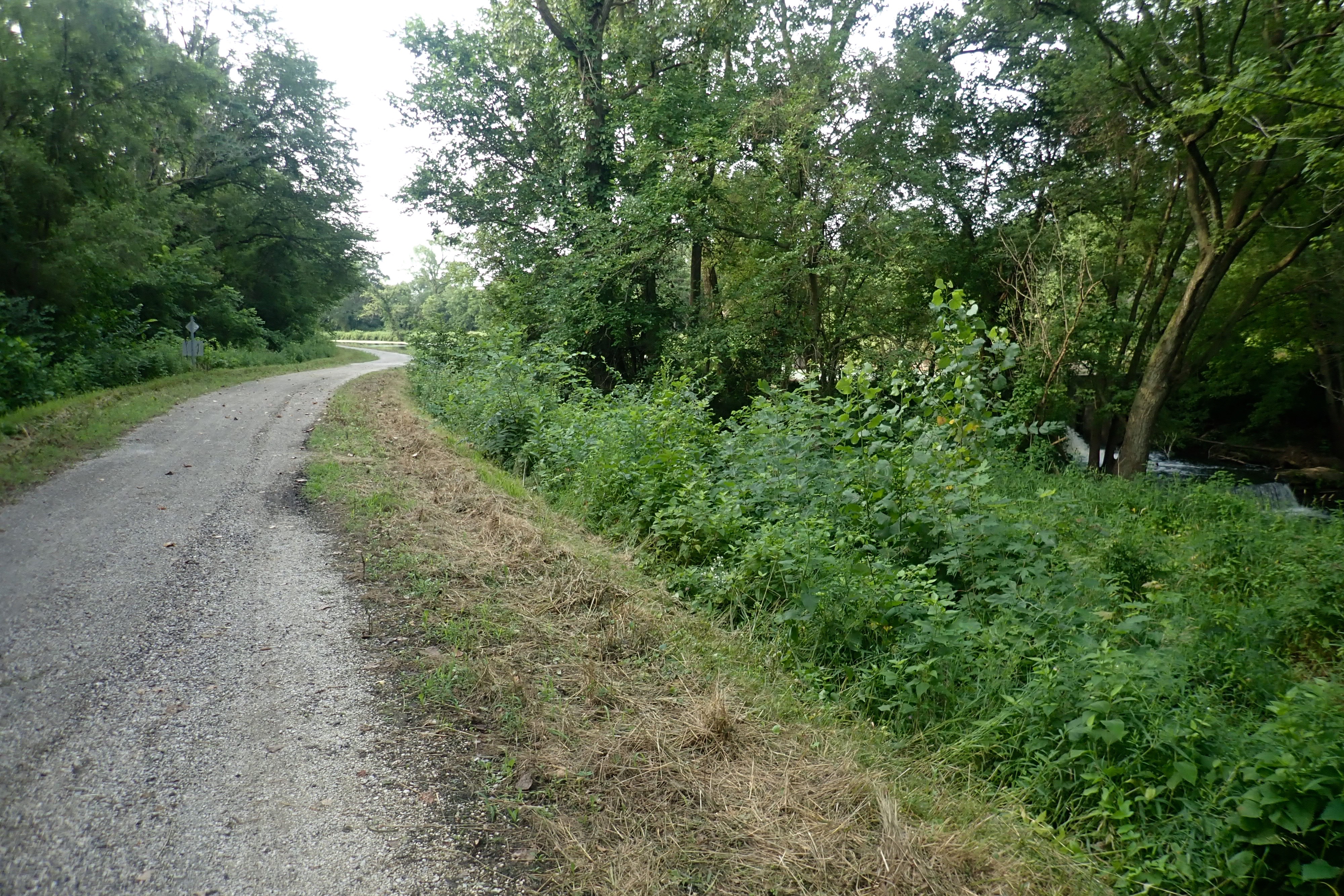
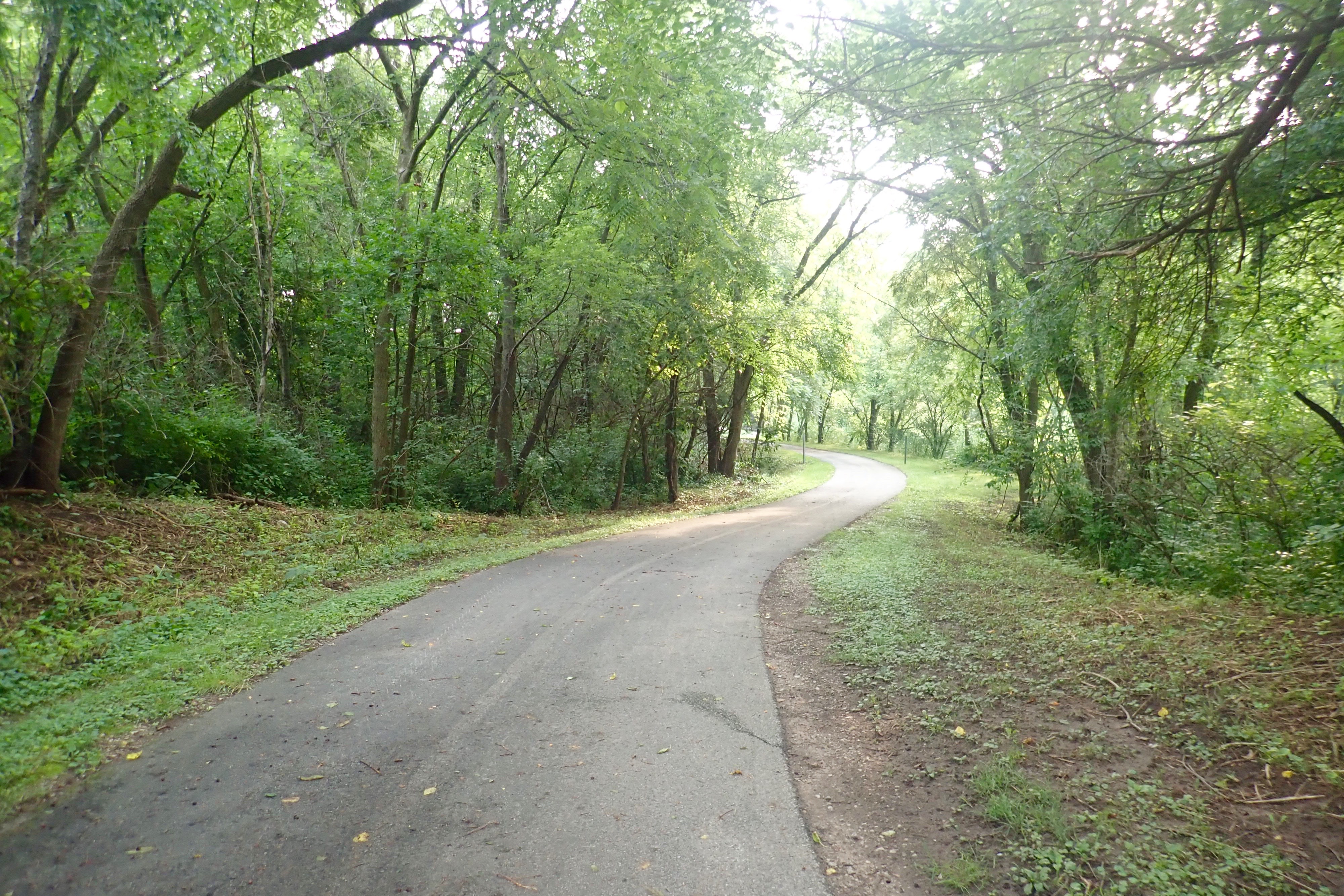
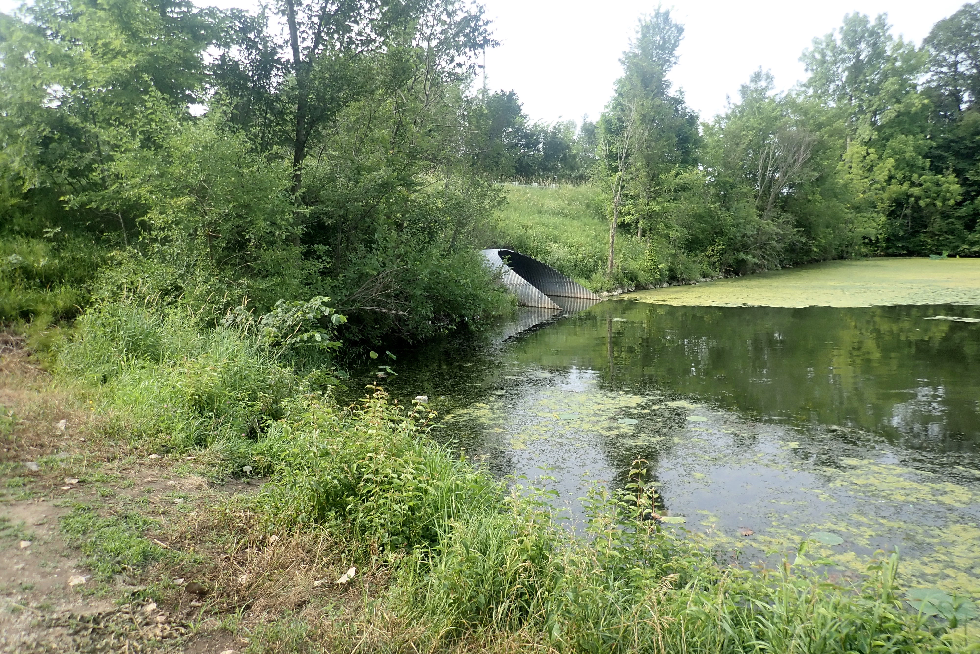
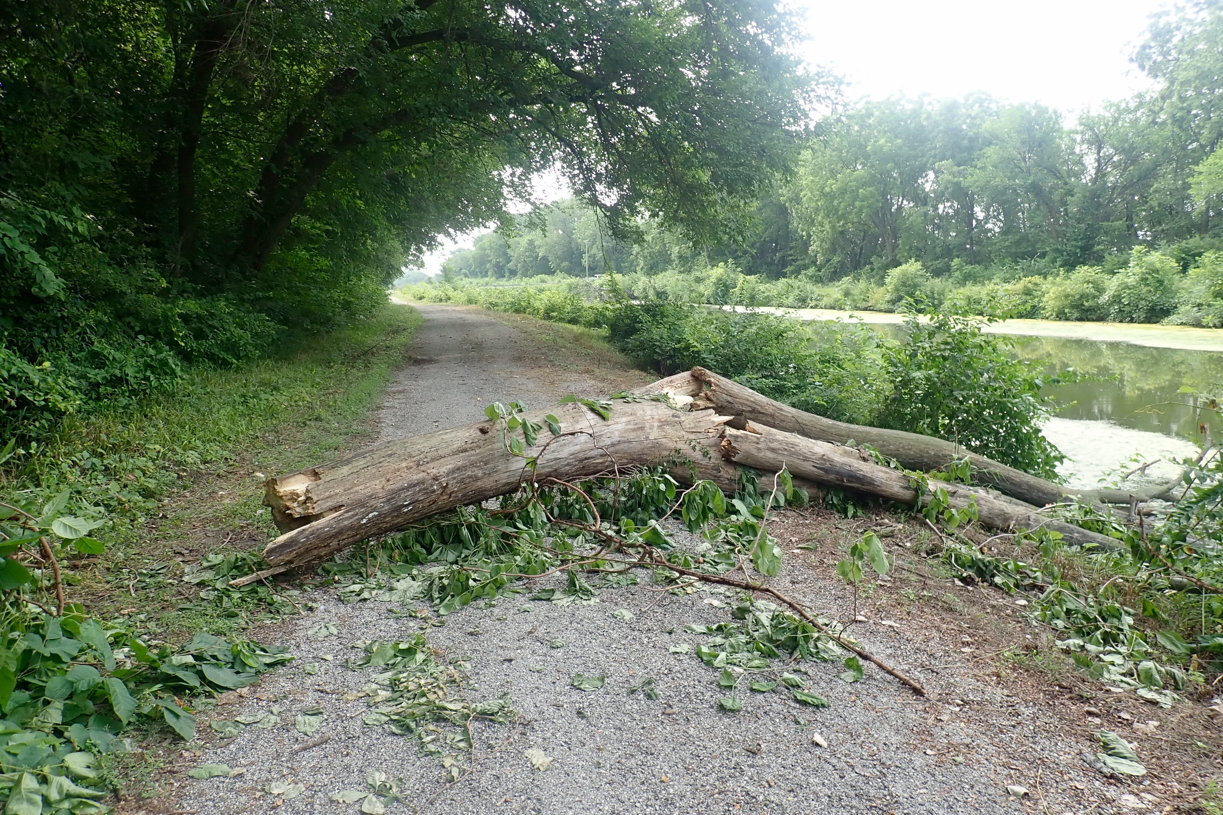
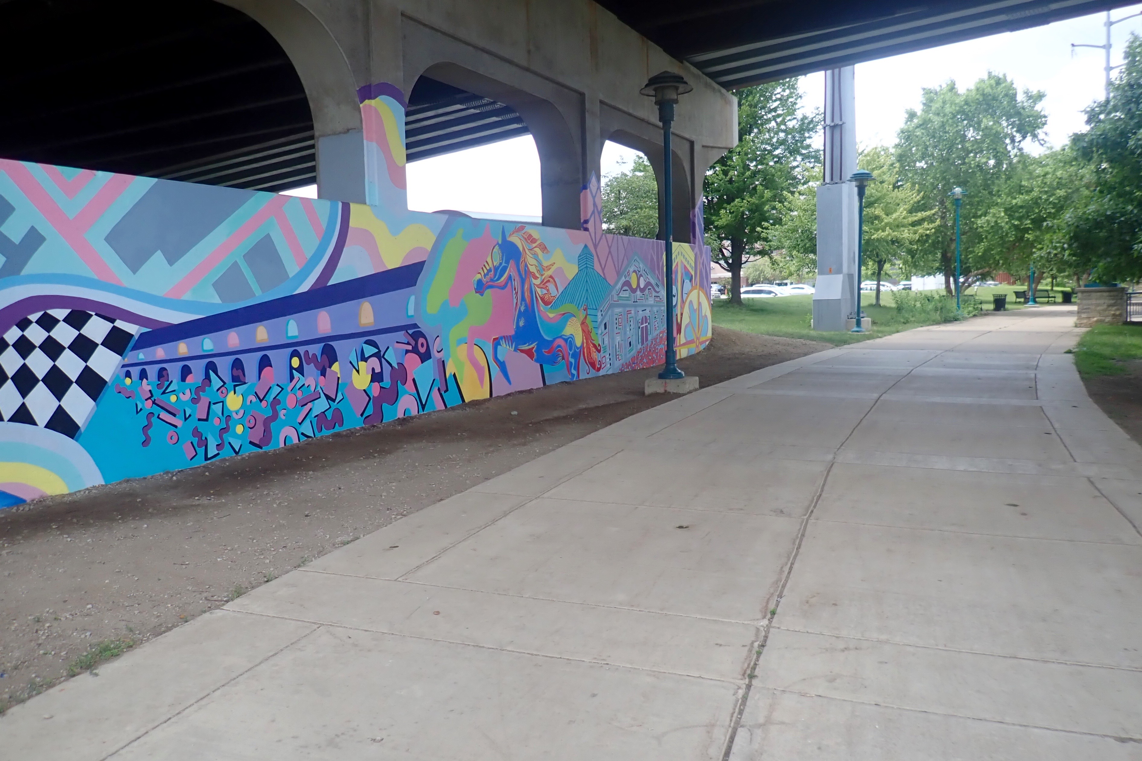
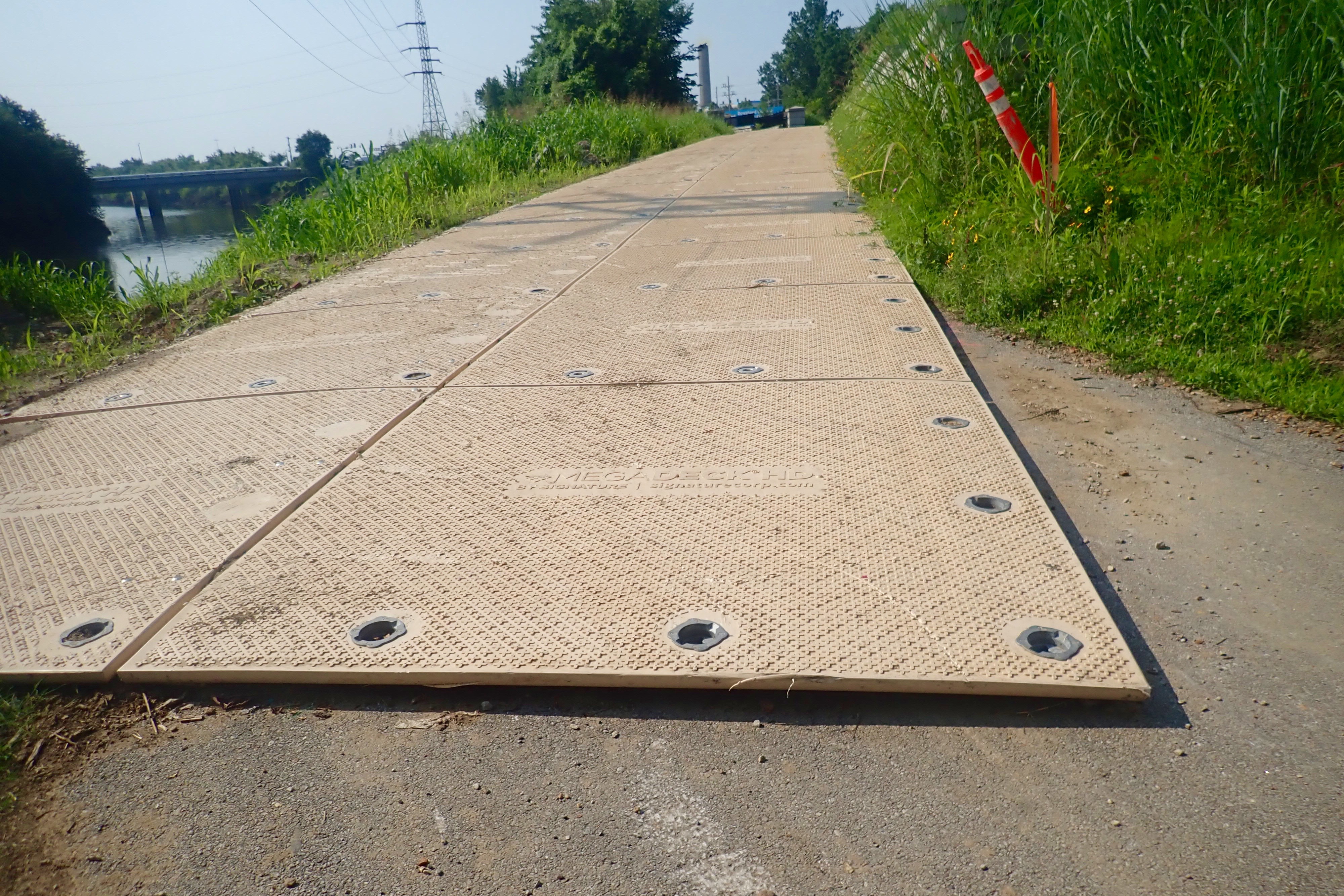
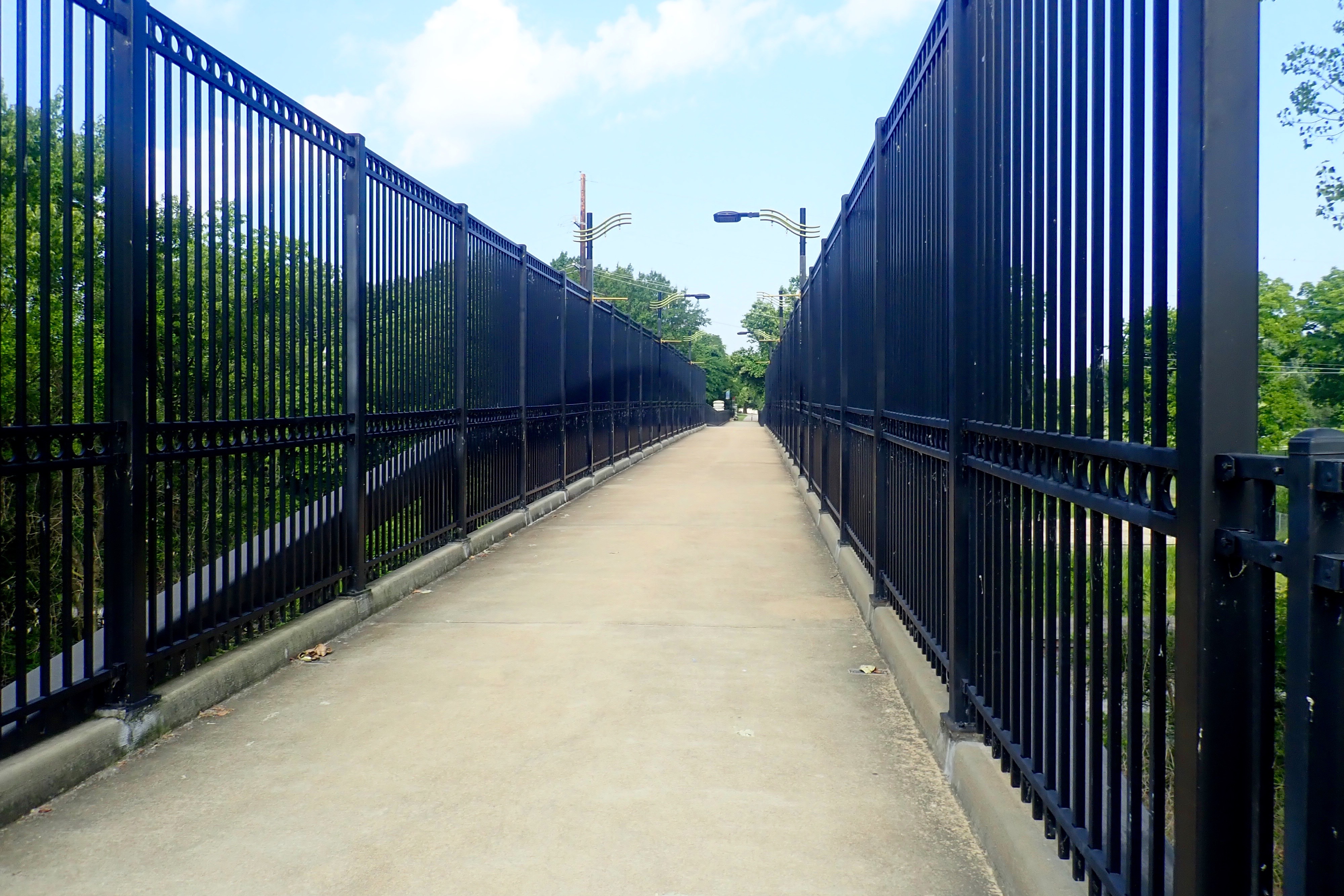
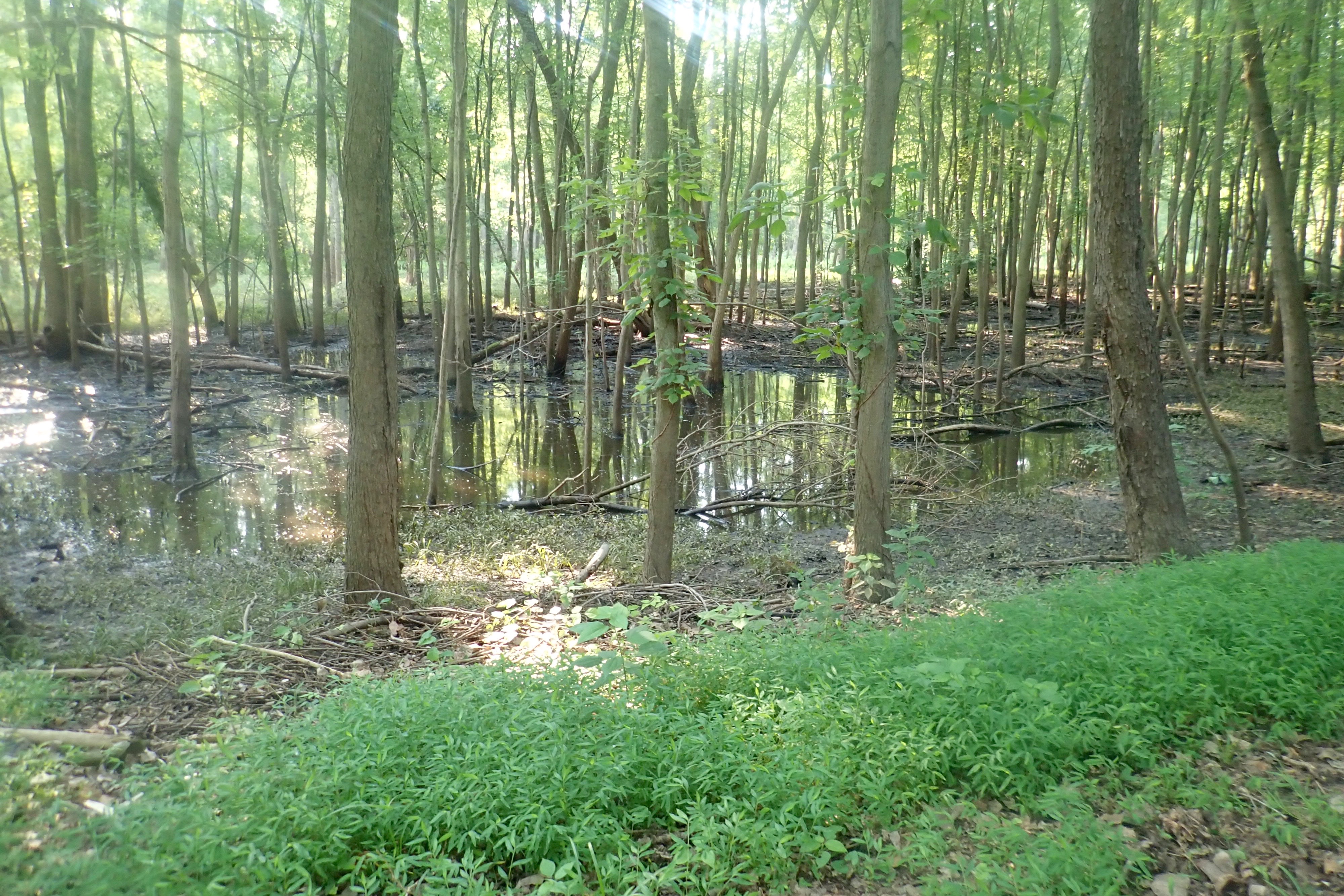
It can be frustrating for some people to get lost. It doesn’t bother me, I eventually figure out the route, it’s like solving a puzzle. And sometimes, like today, you discover something really special. The signage on the River Des Peres Trail had been quite good, better than most trails we’ve ridden. And until now, the trail had been in very good condition, then these things showed up, twice. The safest approach was to stop and walk your bike onto the deck.
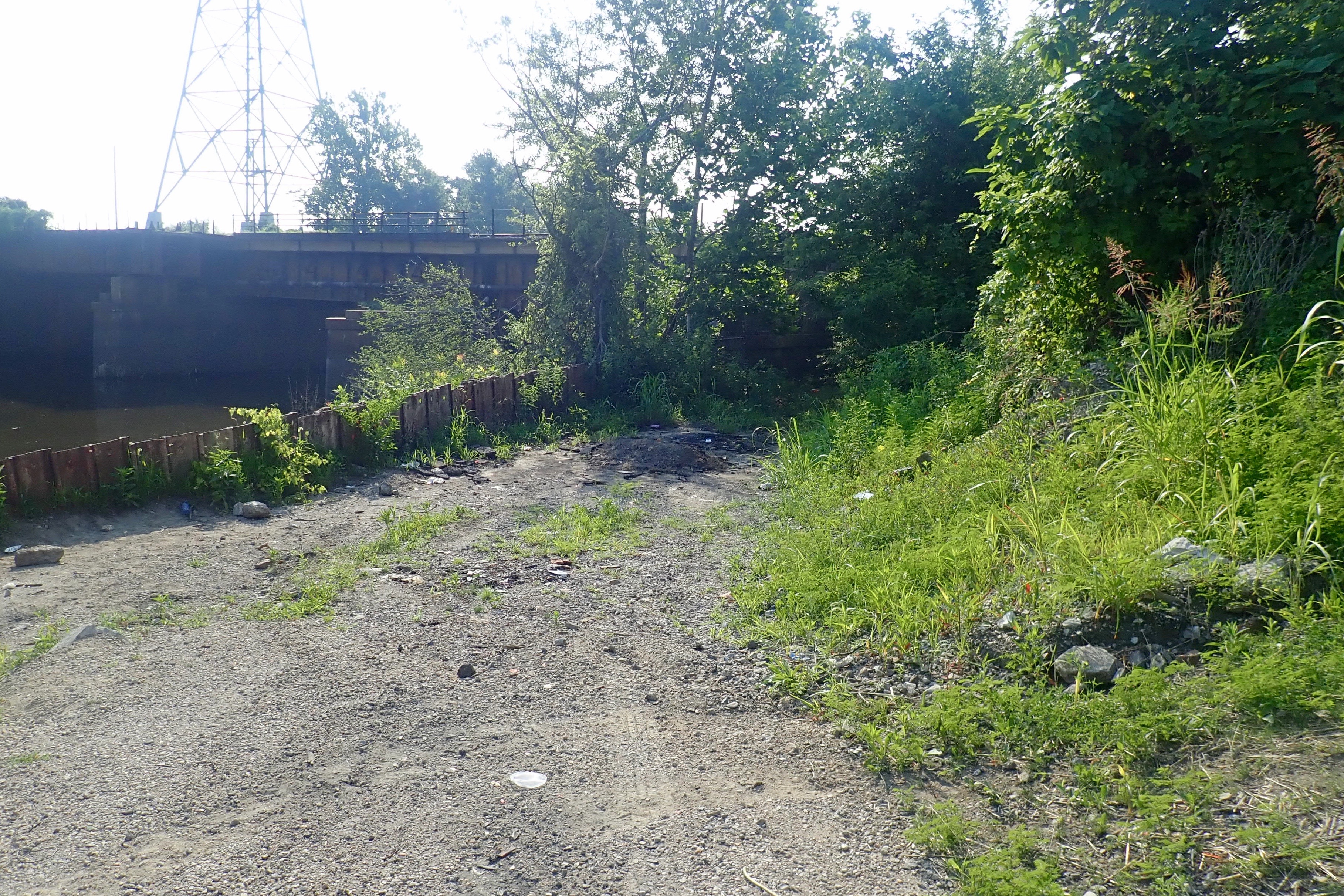
I rode through Lemay Park and came to an intersection. Across the street was a bridge over some railroad tracks and a side road with an archway that said “River Des Peres” – that must be the way. At a fork, I went left and found
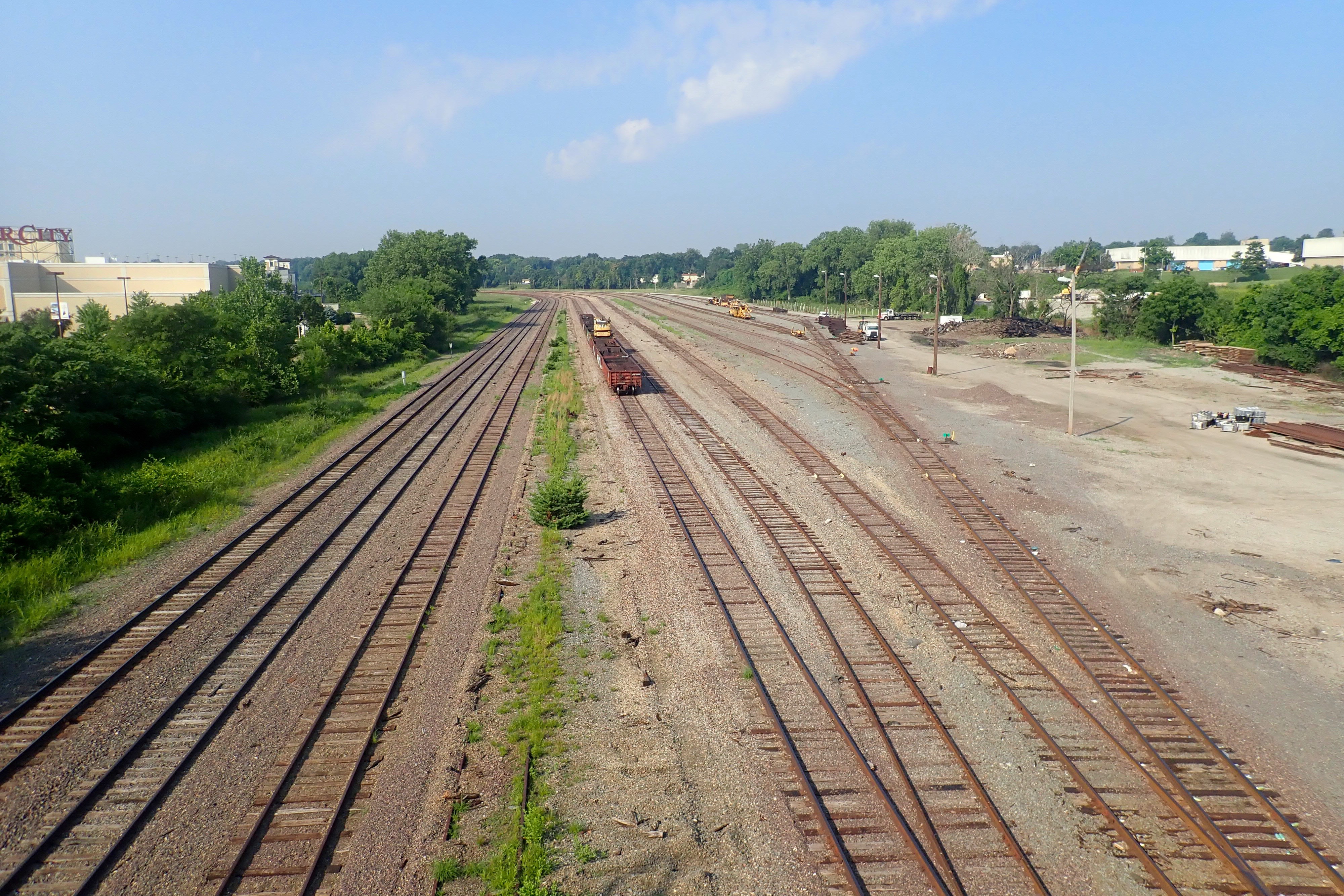
I went back to the fork and took the right branch and ended up in the Ivory Railyard, one of the employees told me.
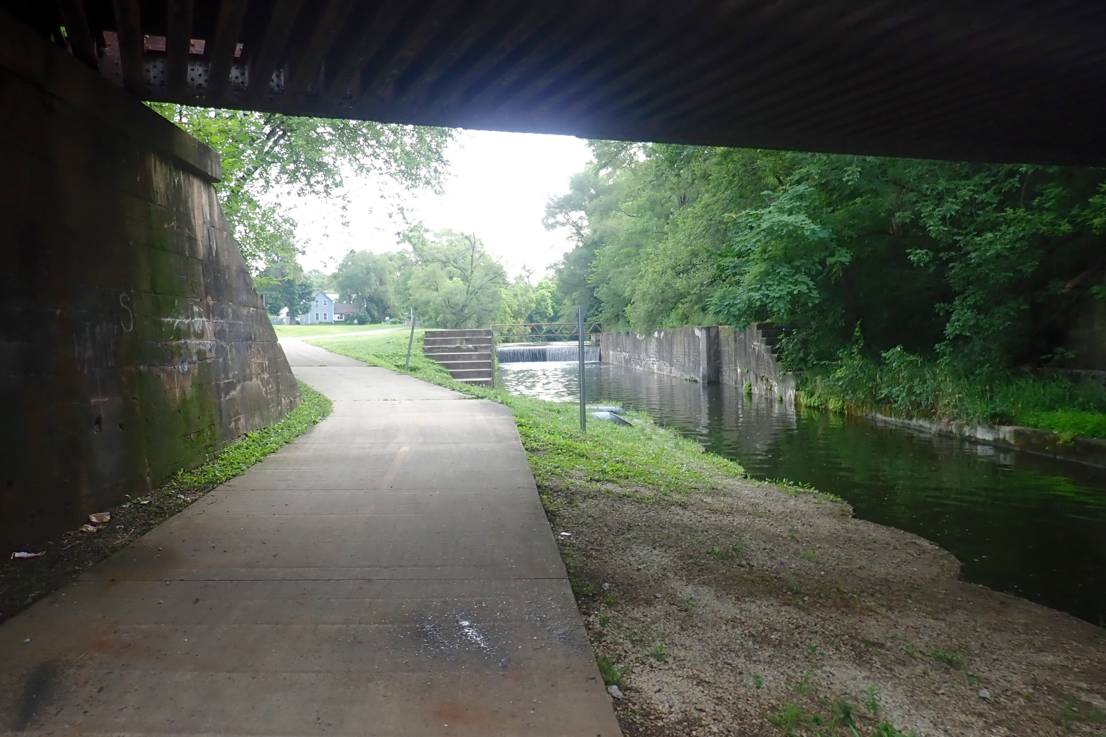
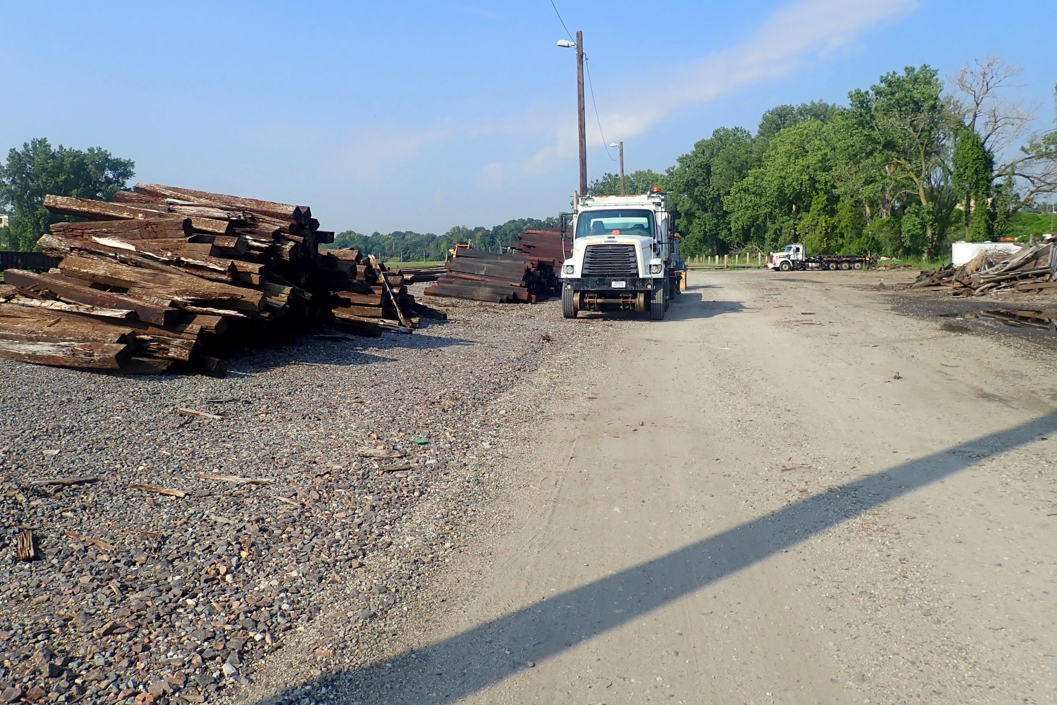
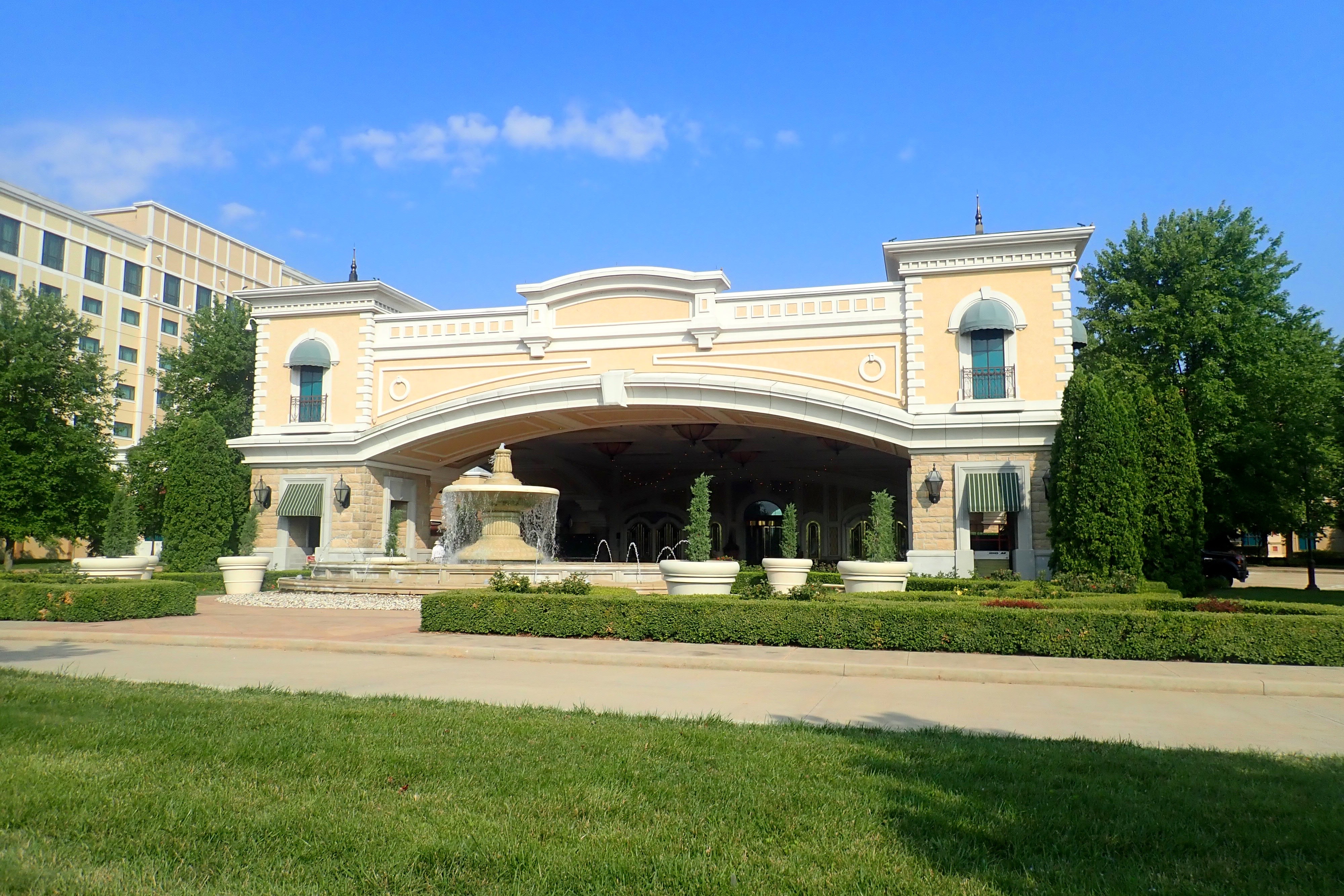
I could see River City Casino on the other side of the bridge so I decided to ride the sidewalk, there were no shoulders on the roadway. You can barely see the white truck beside the pile of wood in this picture:
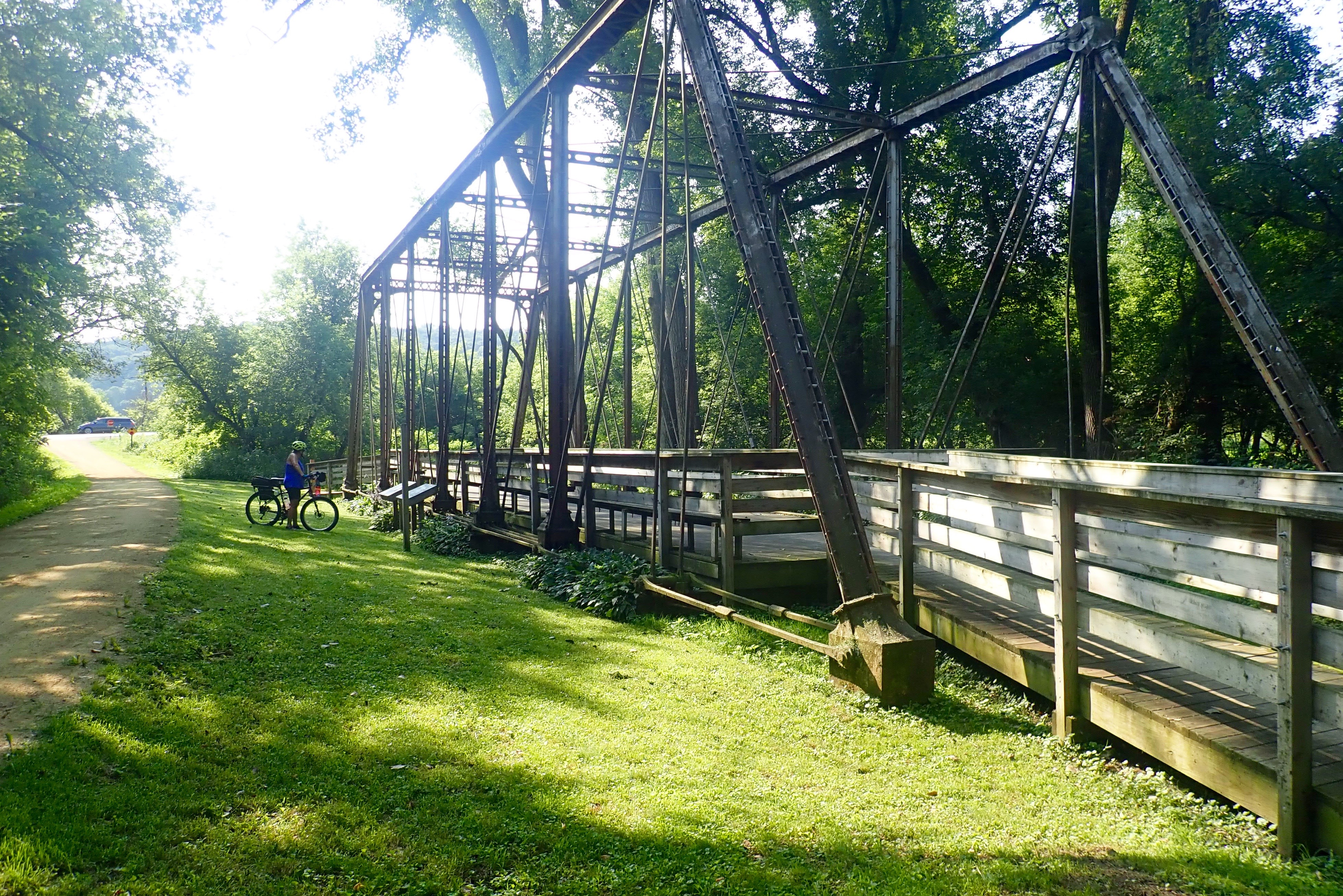
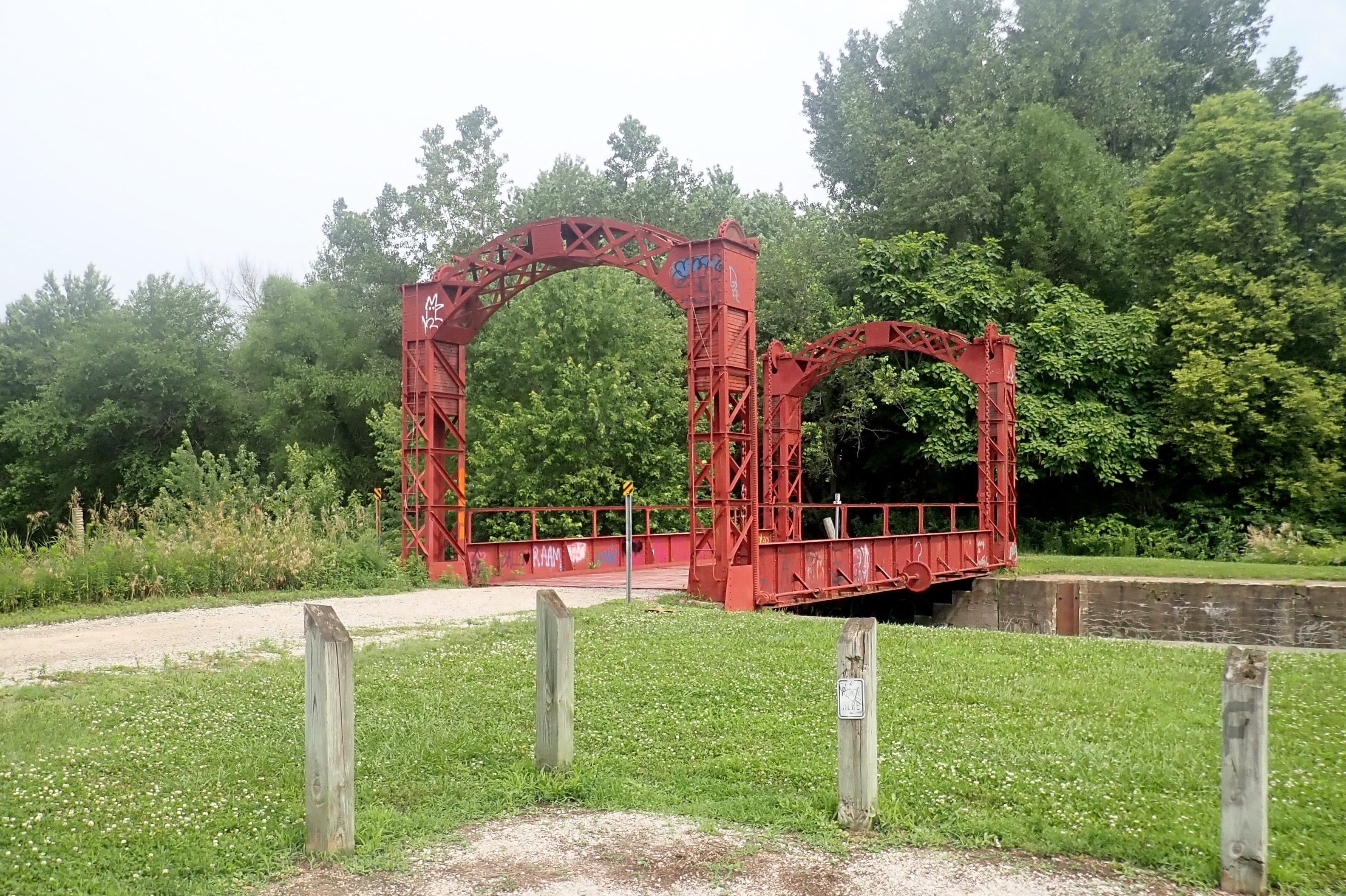
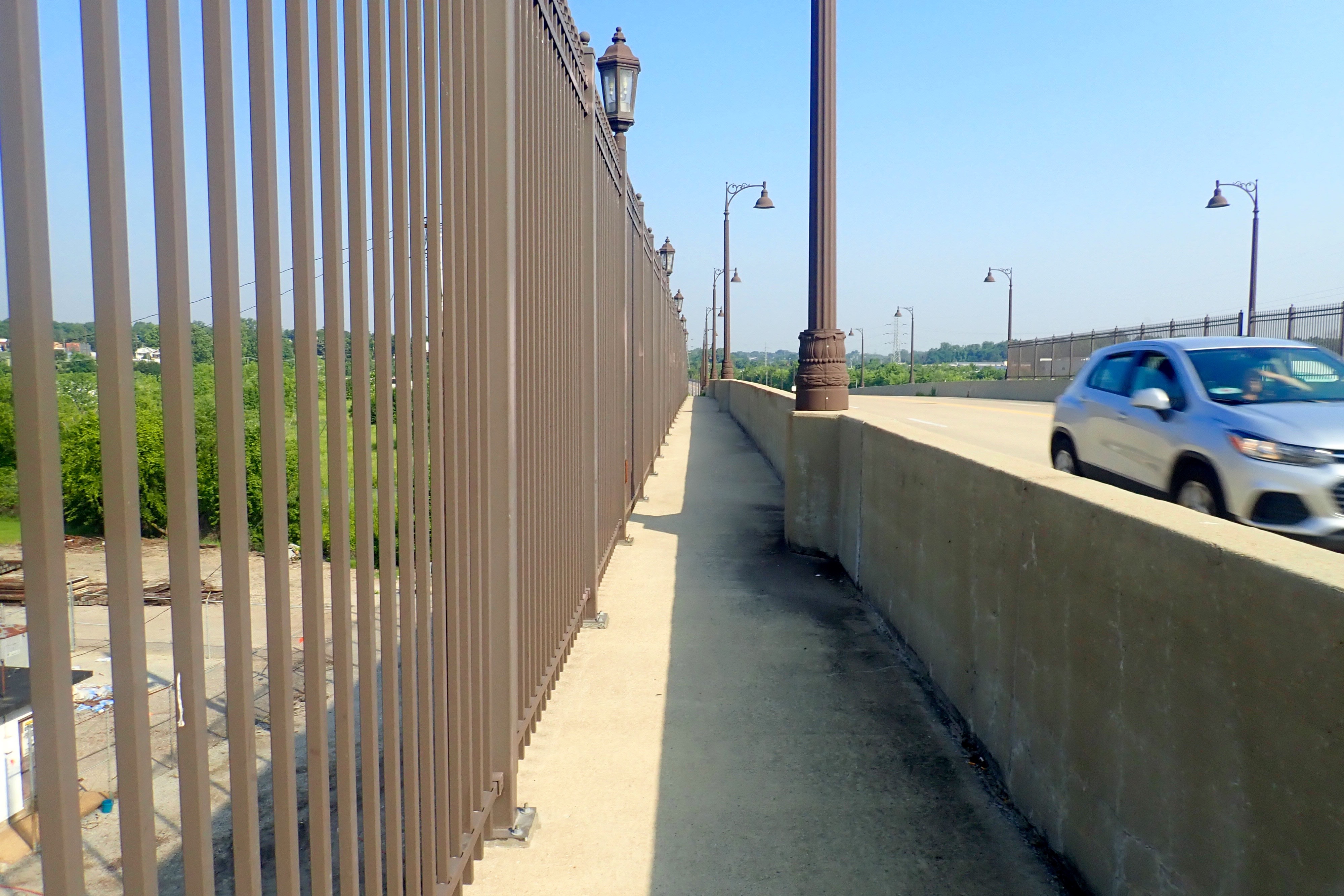
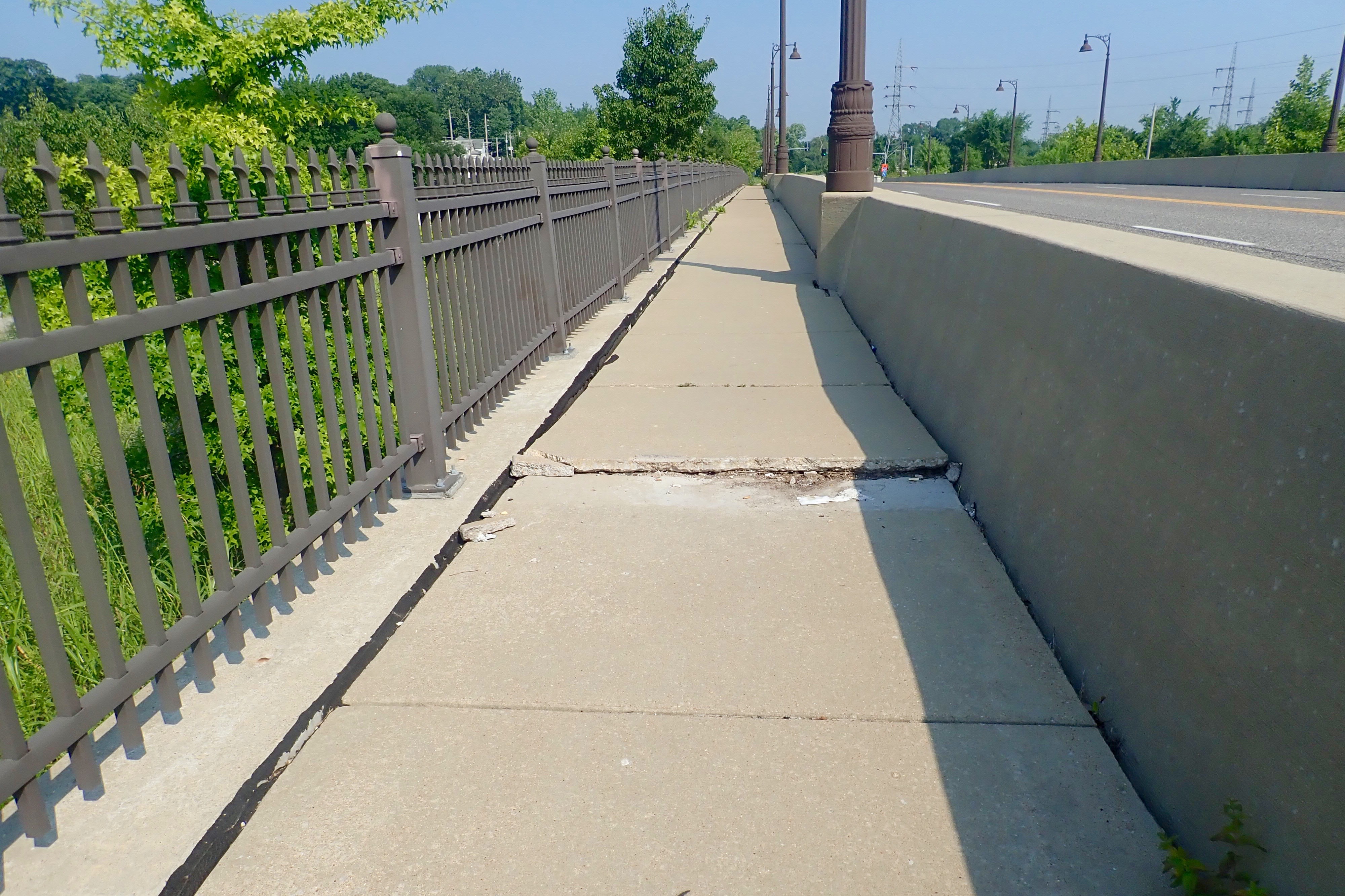
The bridge was quite narrow but rideable.
But it also had its hazards:
Once on the other side, all signage disappeared so I took the road in front of the casino and thought about turning around.
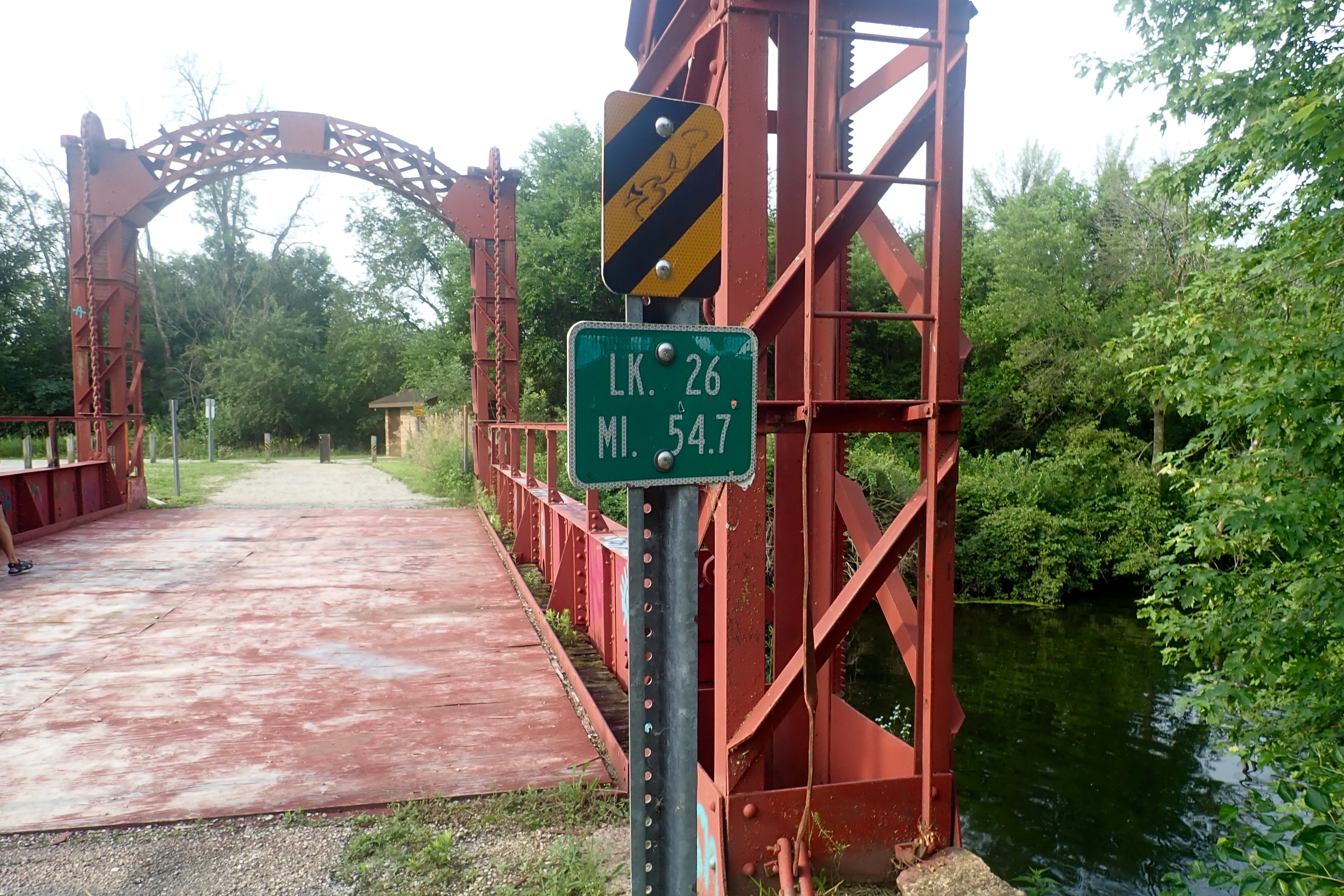
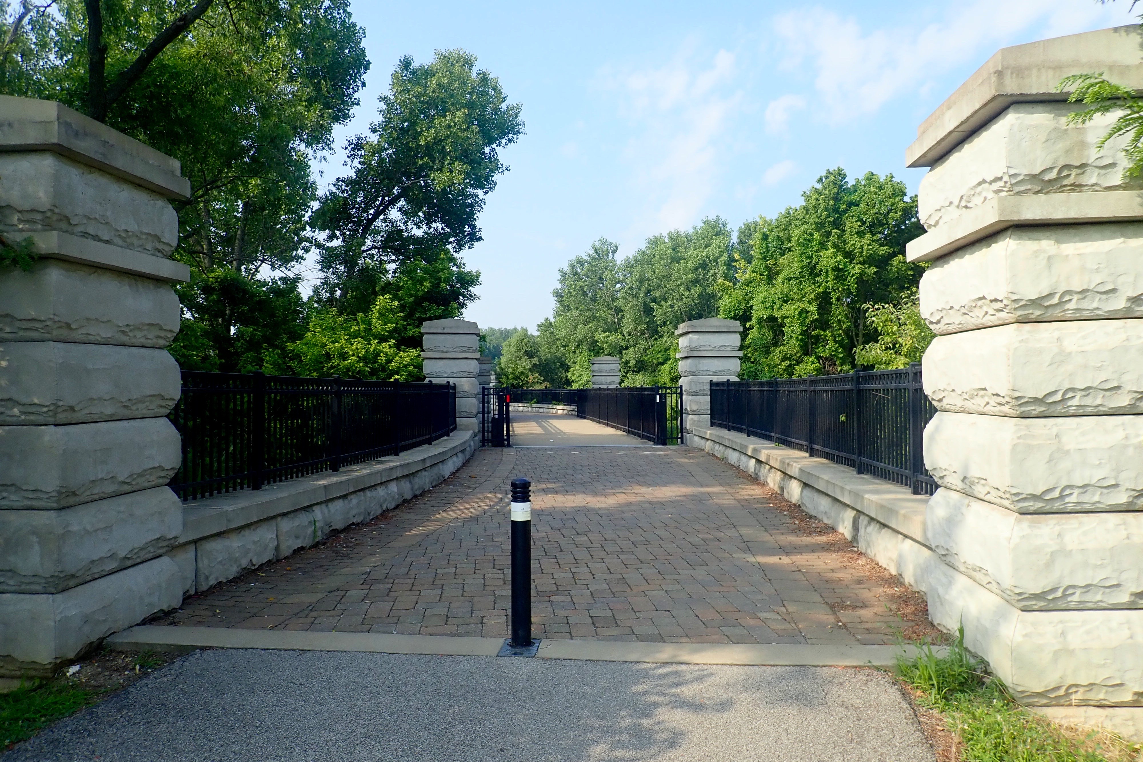
I rode a bit further and noticed the top of a sign on the other side of the grassy hill that ran along the far side of the road. I got off my bike and walked to the top … Eureka! A bike trail, impossible to see and no entry points to it. Really?
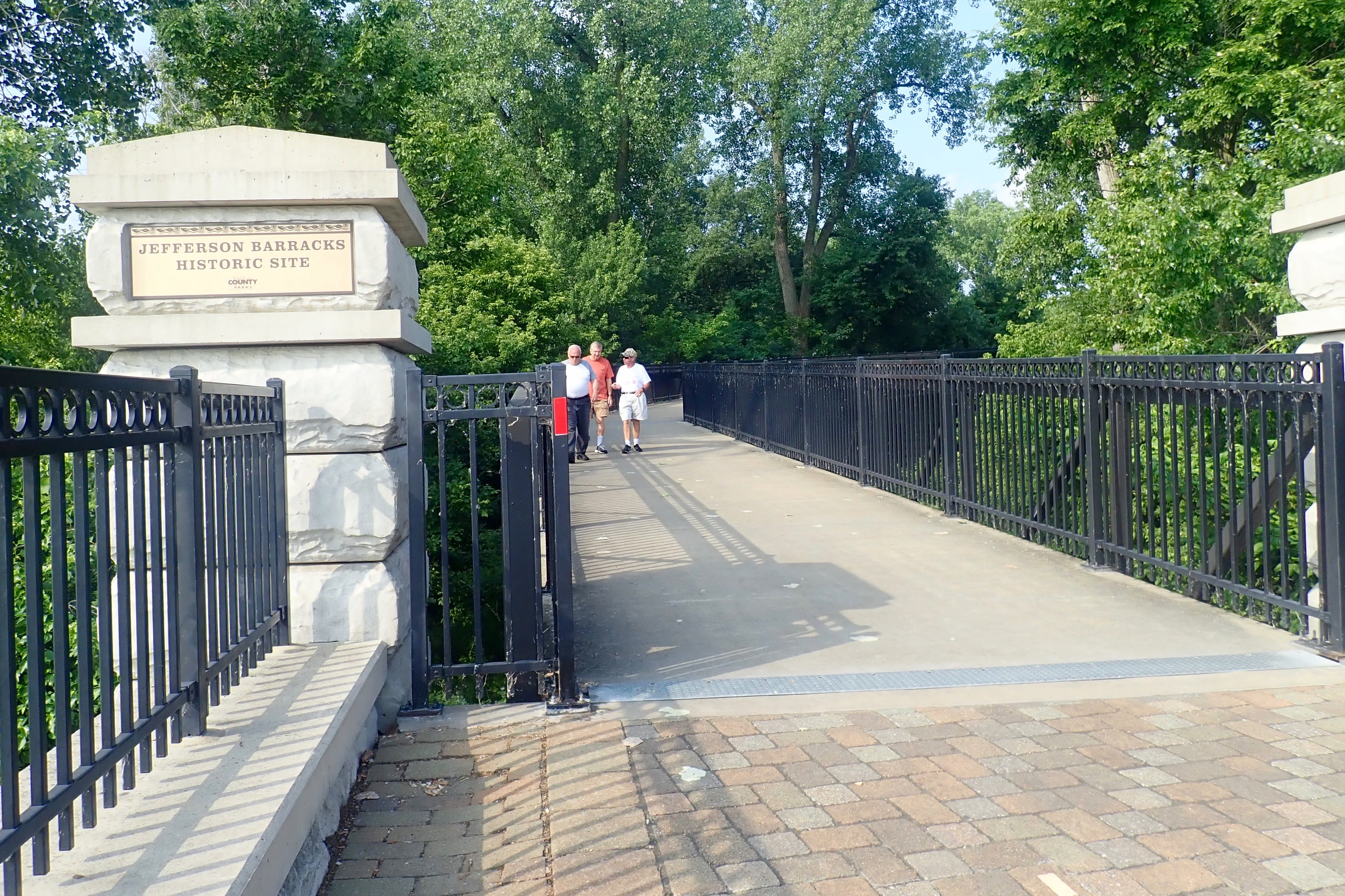
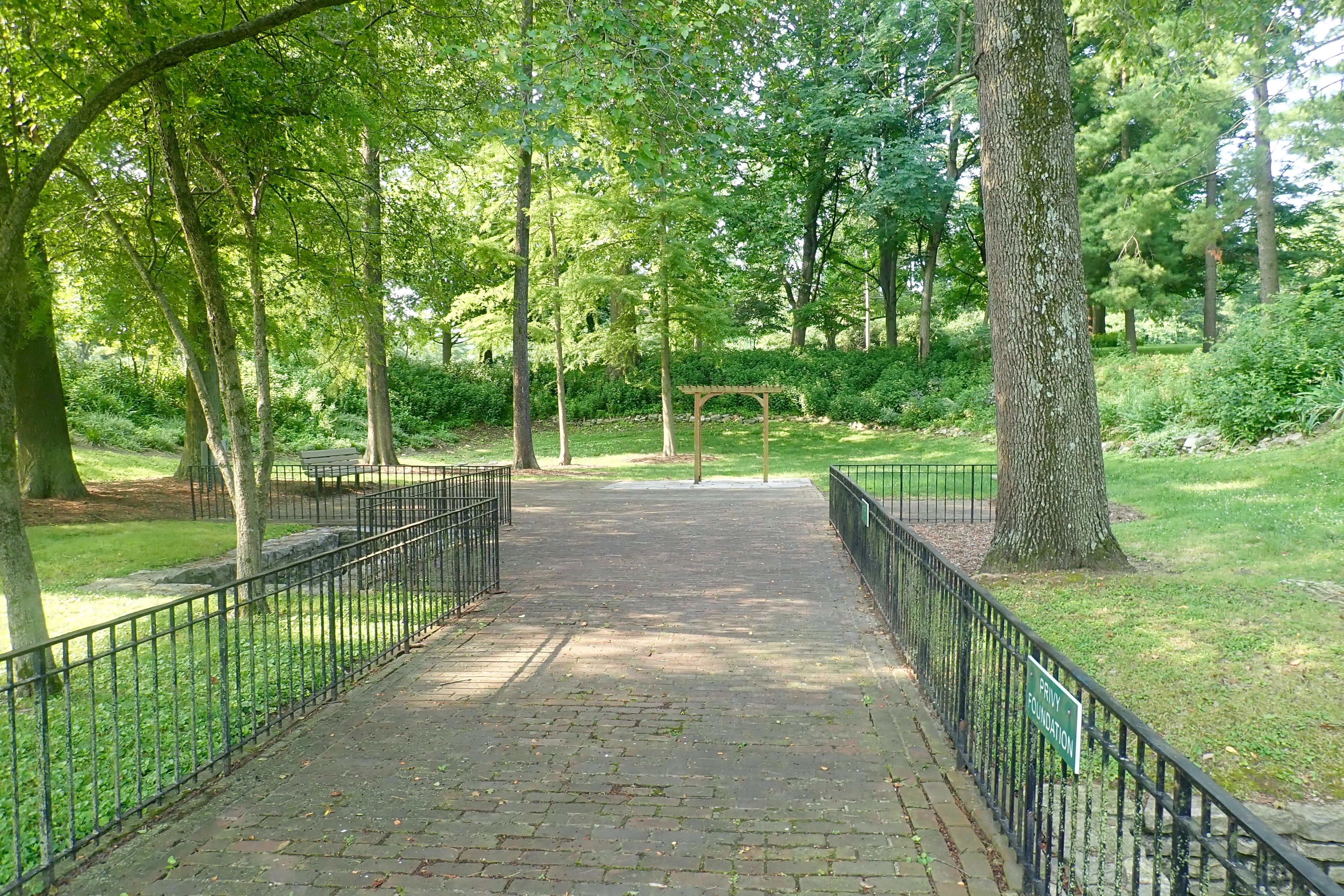
This sign sparked new interest. Jefferson Barracks was the location of Rhona and husband Leo’s Lococo House I. (On our Katy Trail rides, we stayed at Lococo II. Rhona now lives in Lococo III.) No turning around now.
The Laborer’s House, around it a Wedding Garden:
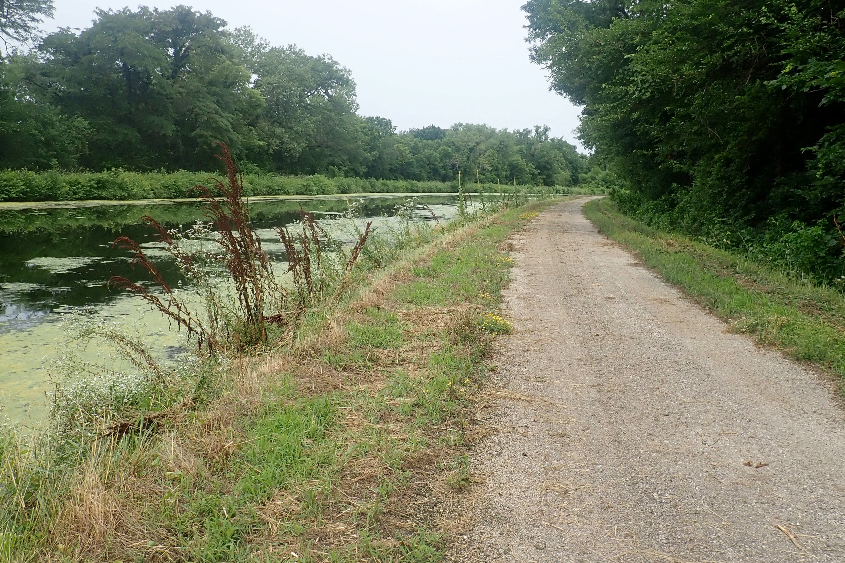
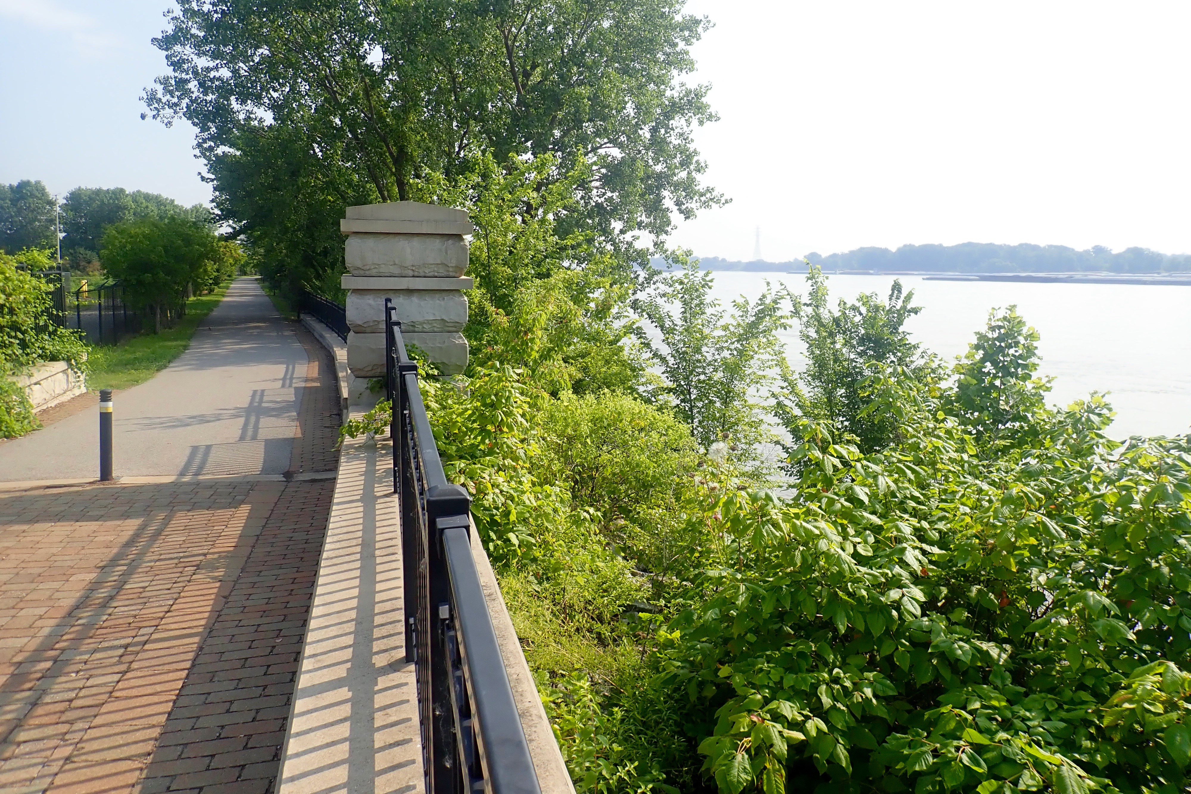
I didn’t explore too much, I’d been gone for quite a while. On the way back, along the Mississippi River:
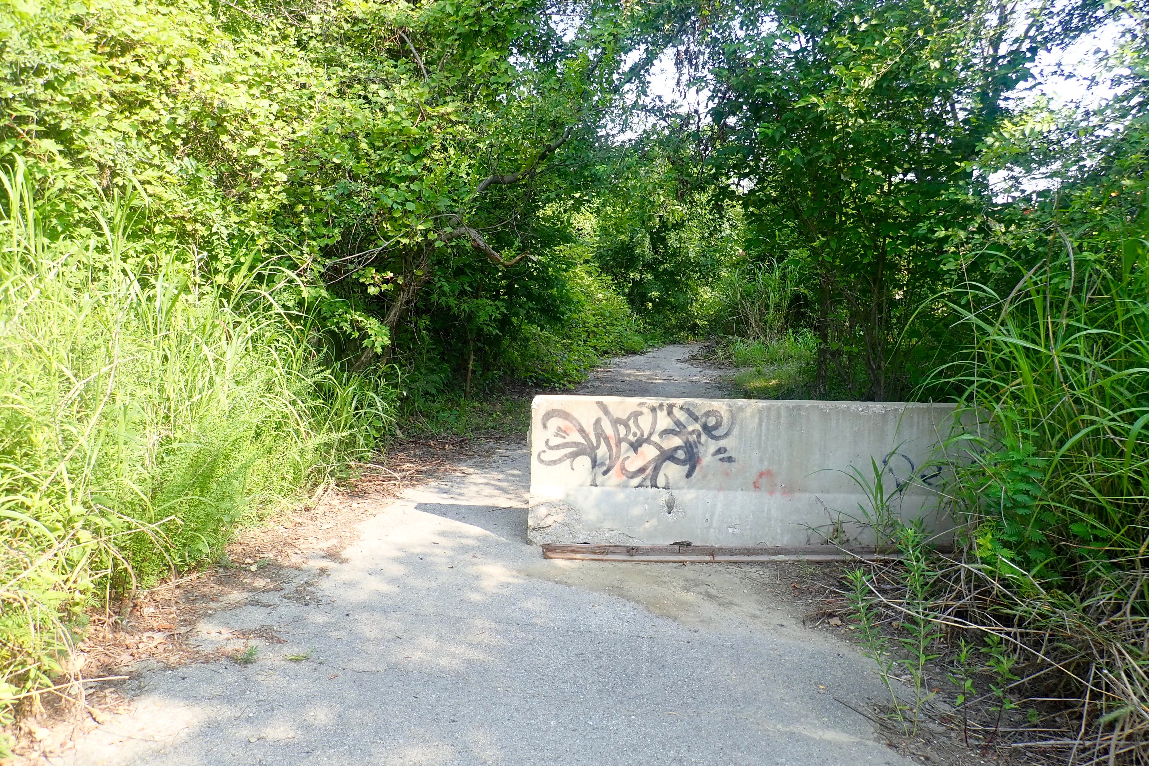
I decided to look for entrances to this part of the River Des Peres Trail on the way back. There were NONE, I had to dismount and walk over the grassy hill (levee) to get back to the bridge. This is how the trail ended:
I had a great time on this ride. If I hadn’t persevered after getting lost or if I’d let the hazards dissuade me, I would never have discovered Jefferson Barracks! And I rode 15 miles and survived the heat and humidity quite well!
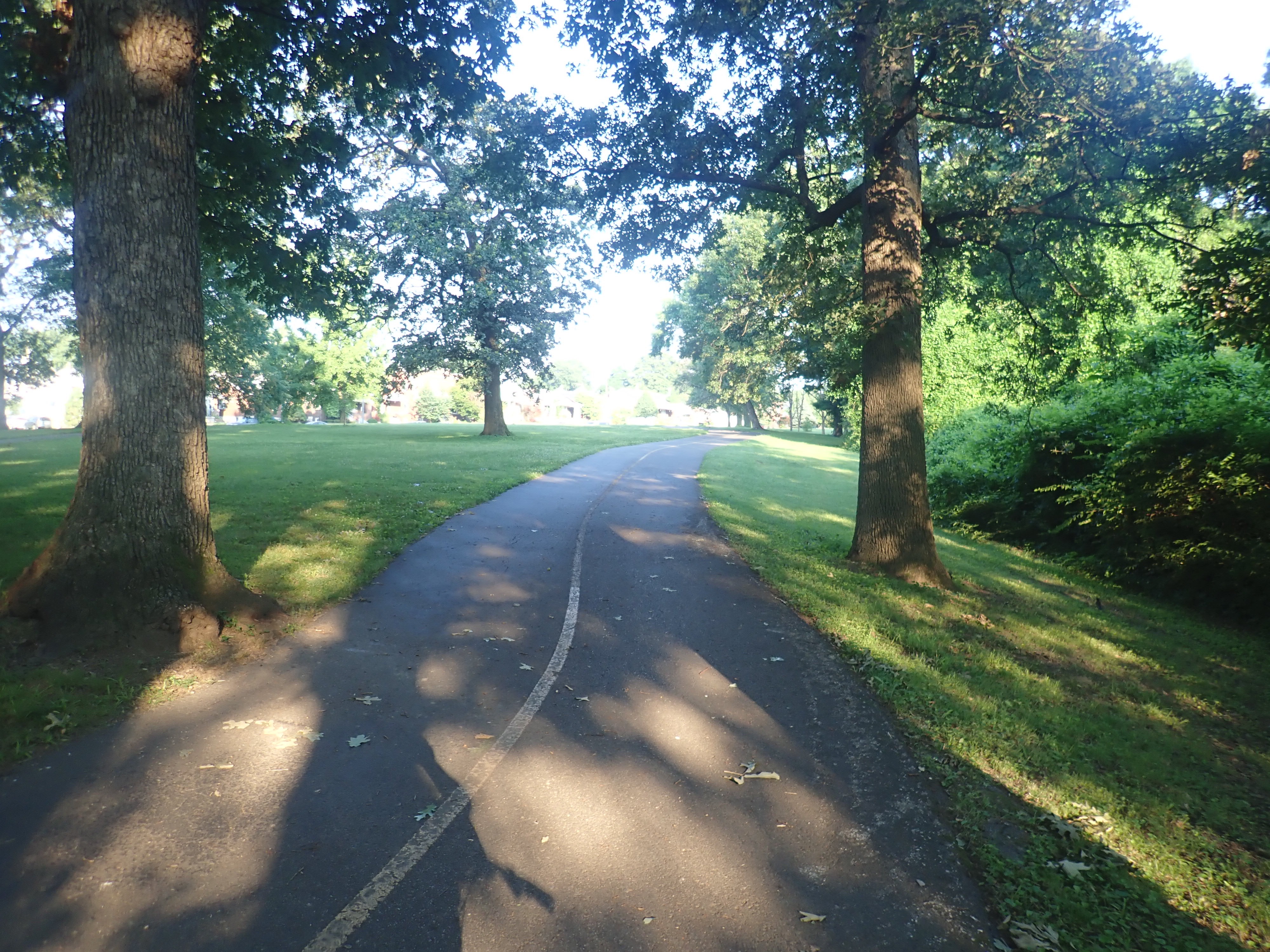
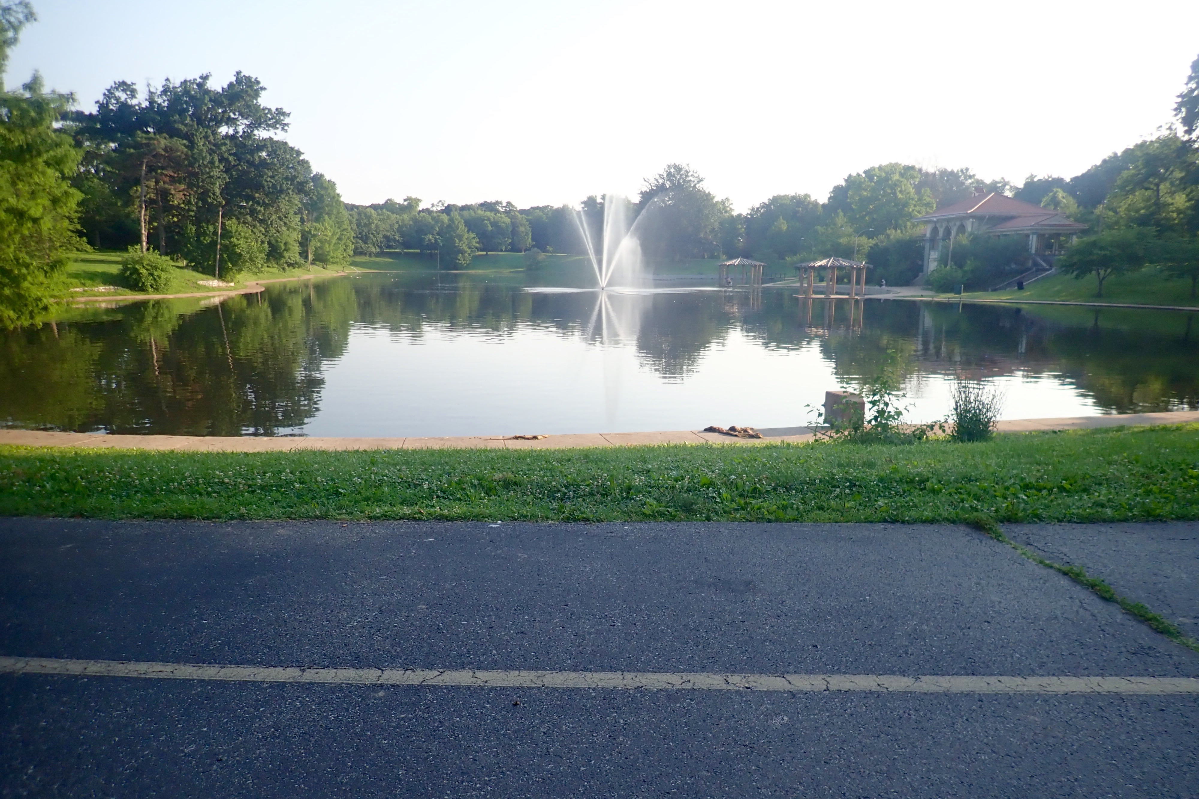
We came back to Carondelet Park because the first time we took the shortest/fastest route because of the heat. Today we were able to do more exploring.
This was our view when we stopped at a park bench to eat breakfast – pb&j sandwiches.
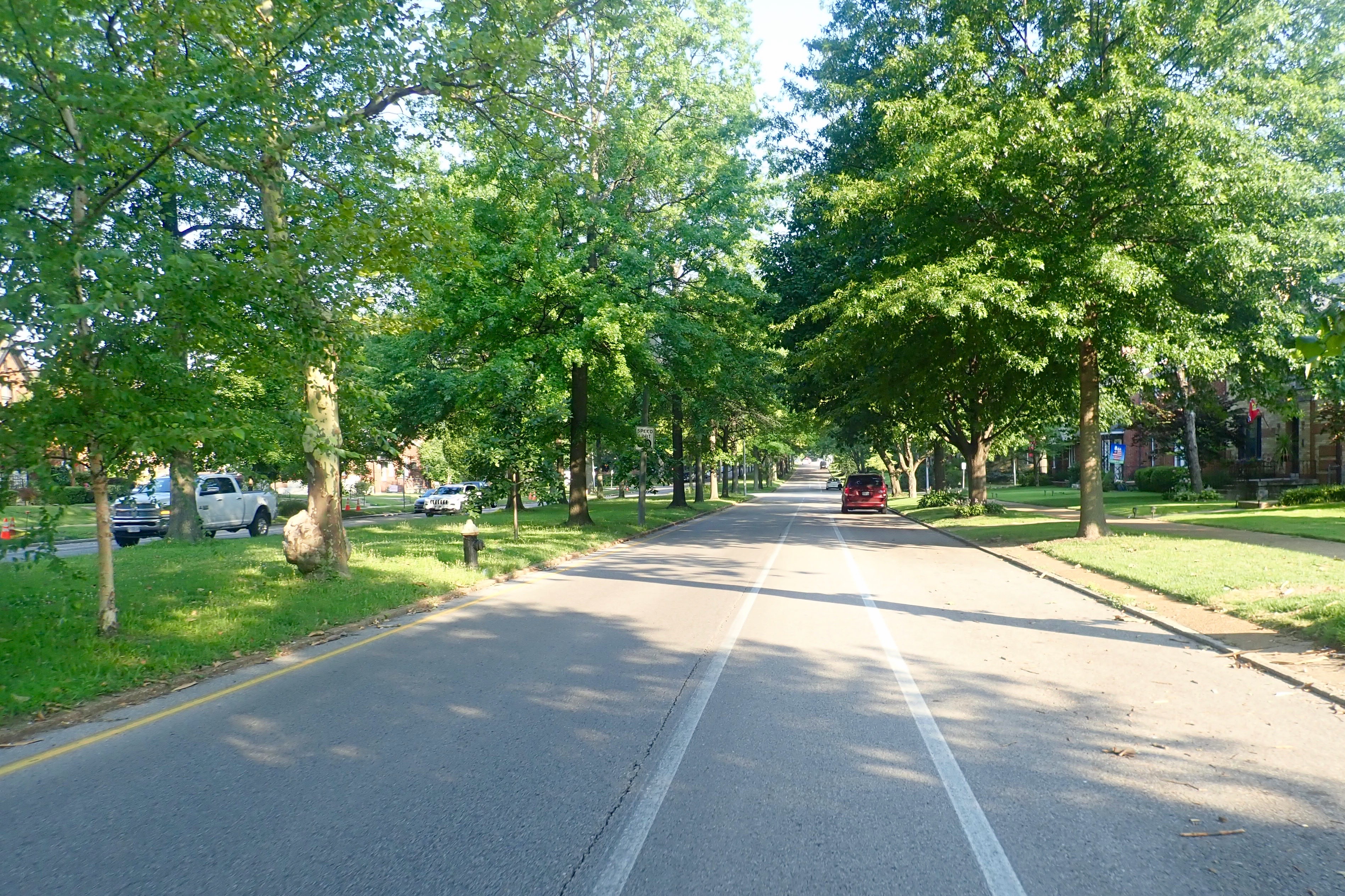
Holly Hills Avenue:
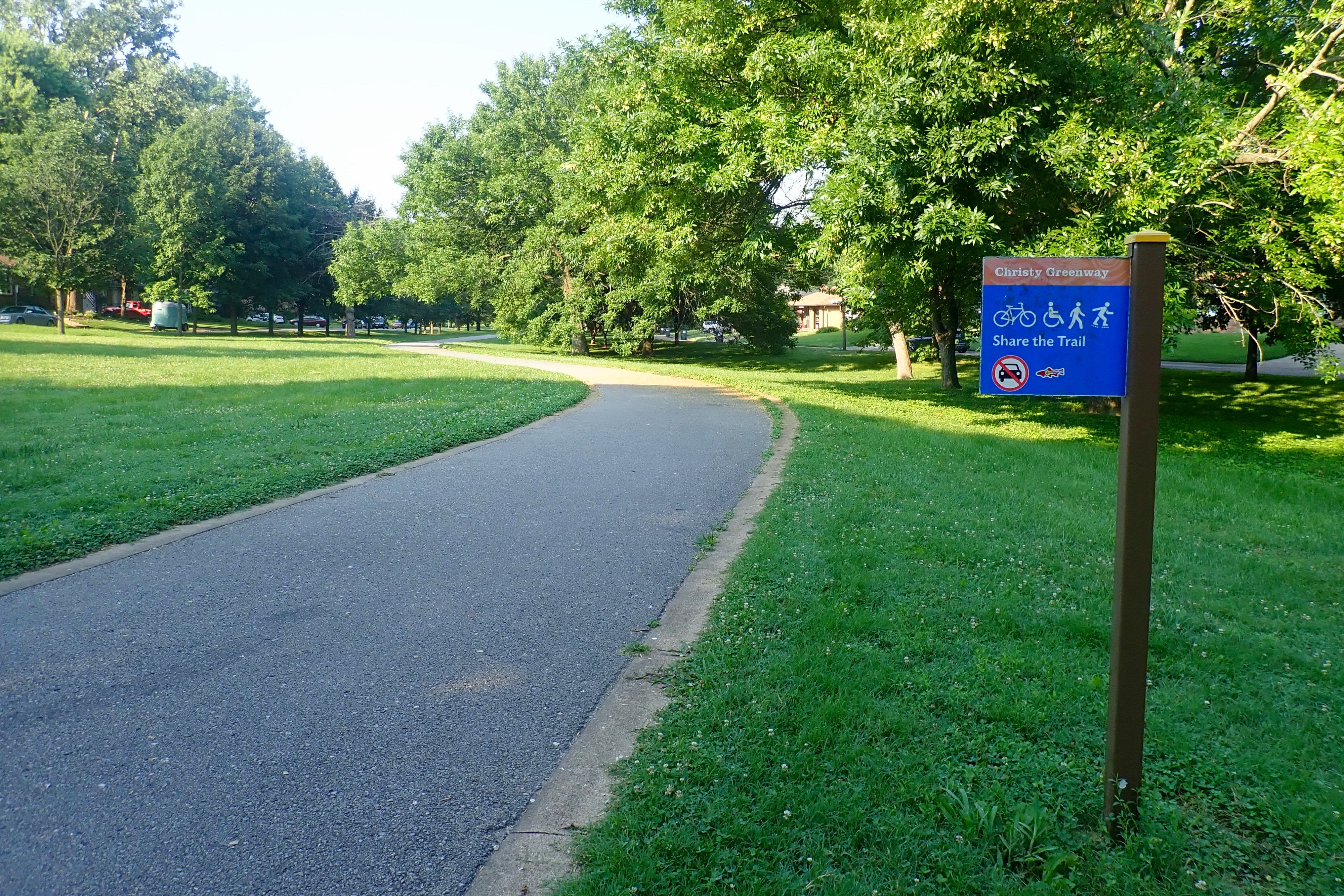
Christy Greenway:
We took the River Des Peres Trail back to the Carondelet Connector. It was too hot and humid to ride for Billie and she took the connector back to where we’d parked, glad that we’d parked next to a Starbucks. She encouraged me to continue if I wanted. I felt ok so I decided to continue. Maybe I would ride to the end of the River Des Peres Trail and back. I knew it ended at the Mississippi River and there was a casino … which led to the next blog post …
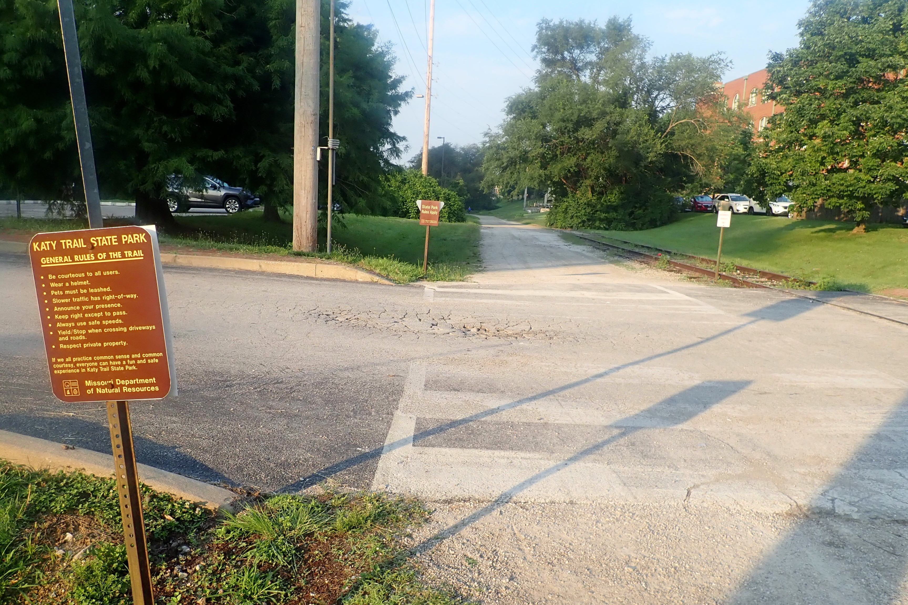
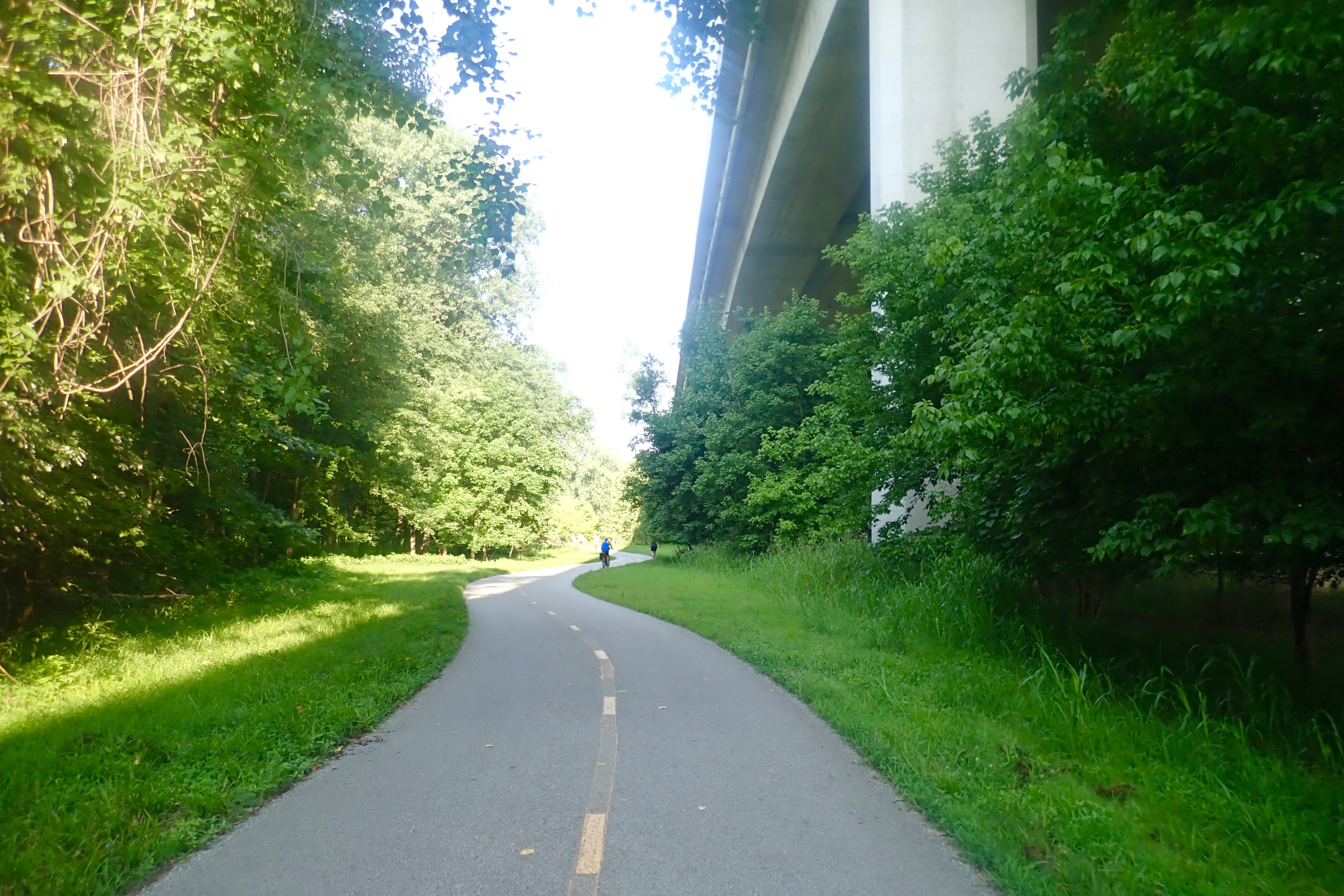
We drove to St Charles and parked at Frontier Park. We’ve ridden the Katy Trail before, me twice, Billie four times. We always started in Clinton and finished in St Charles. 4 miles down the Katy Trail led to the turnoff for the Creve Coeur Trail.
1.5 miles to the beginning of the Creve Coeur Trail but that was on the other side of the Missouri River.
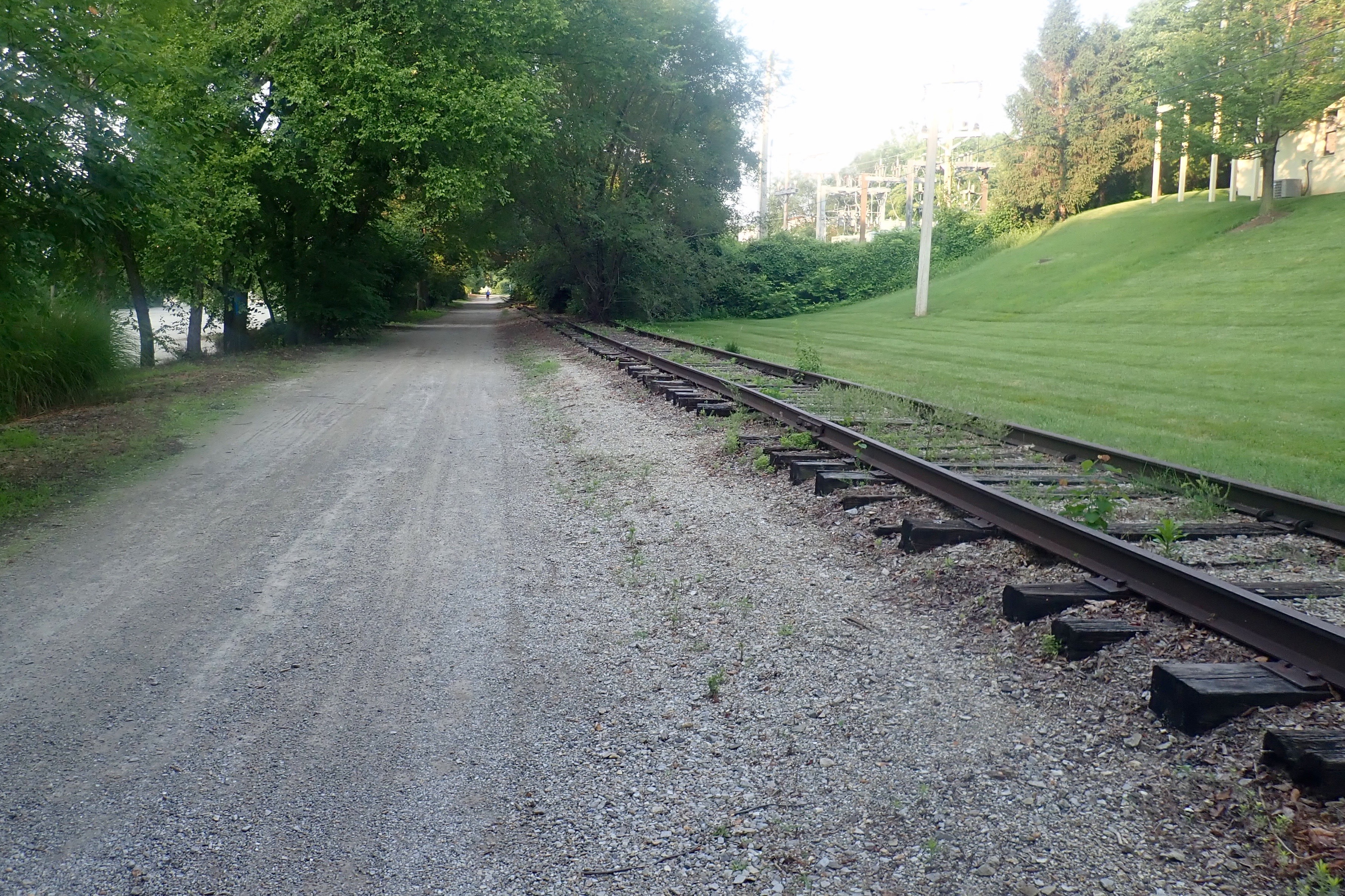
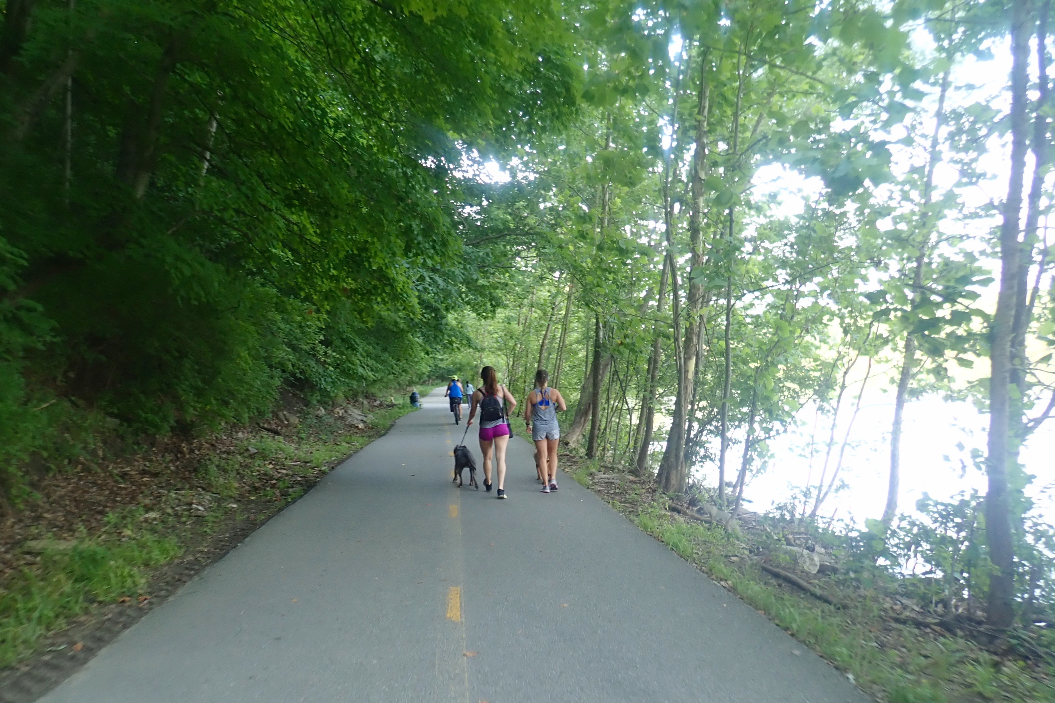
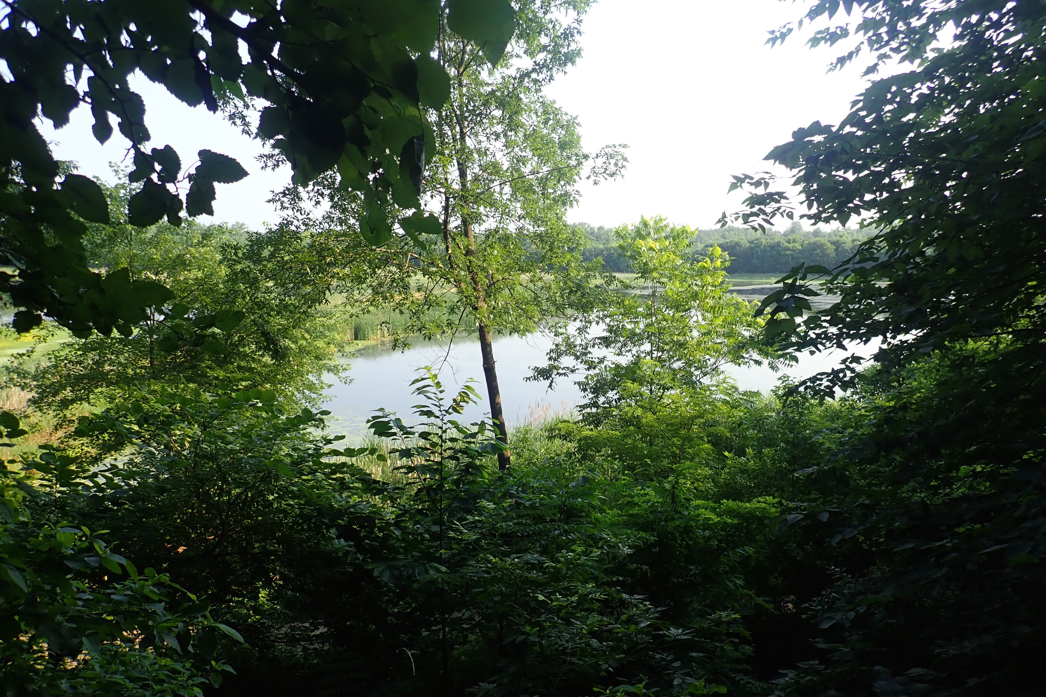
The Creve Coeur Trail headed toward a large man-made lake with a 3.7 miles paved trail around it.
There was a sign at the entrance to one short tunnel to be respectful (i.e. quiet) of the cliff swallows who had built nests inside.
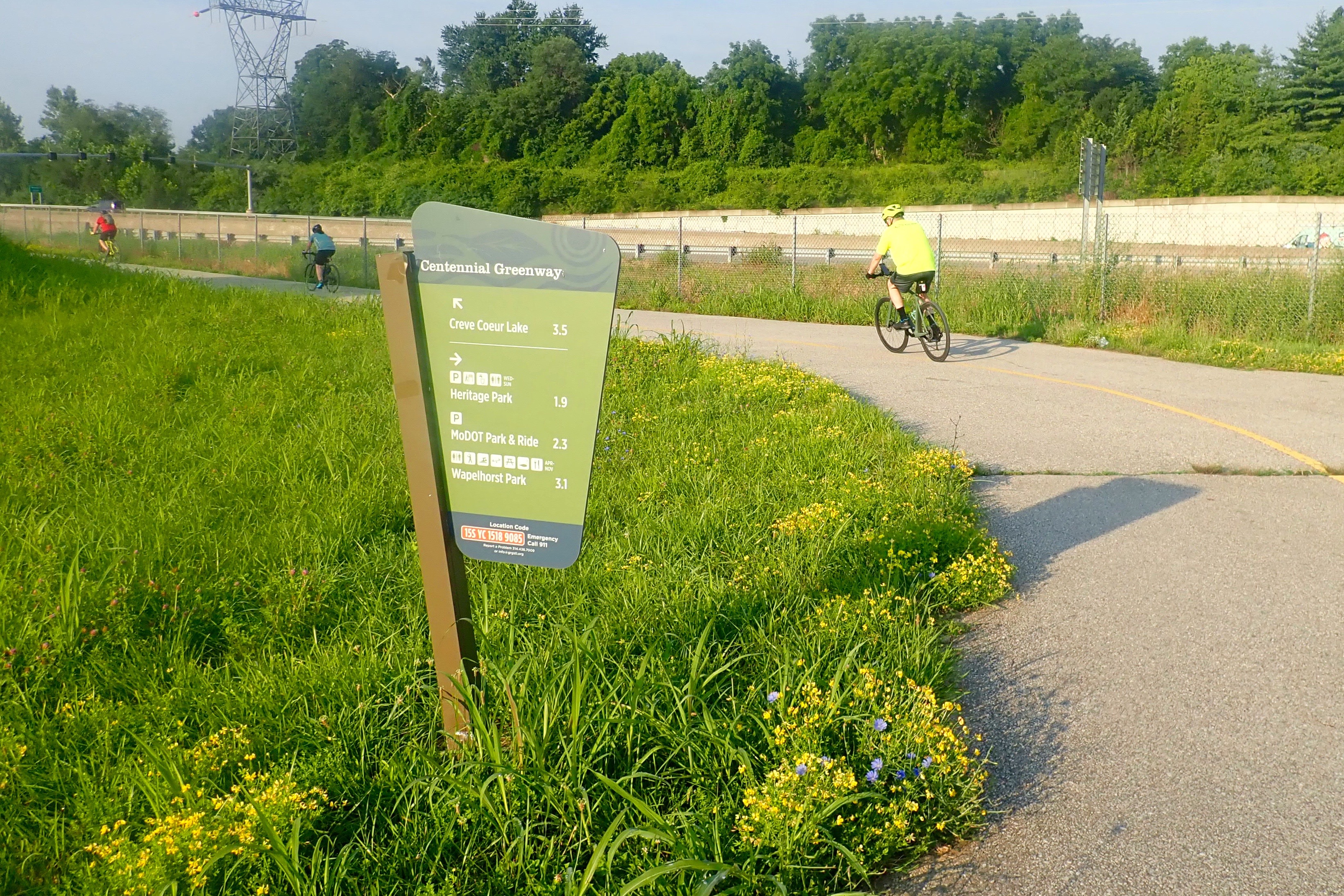
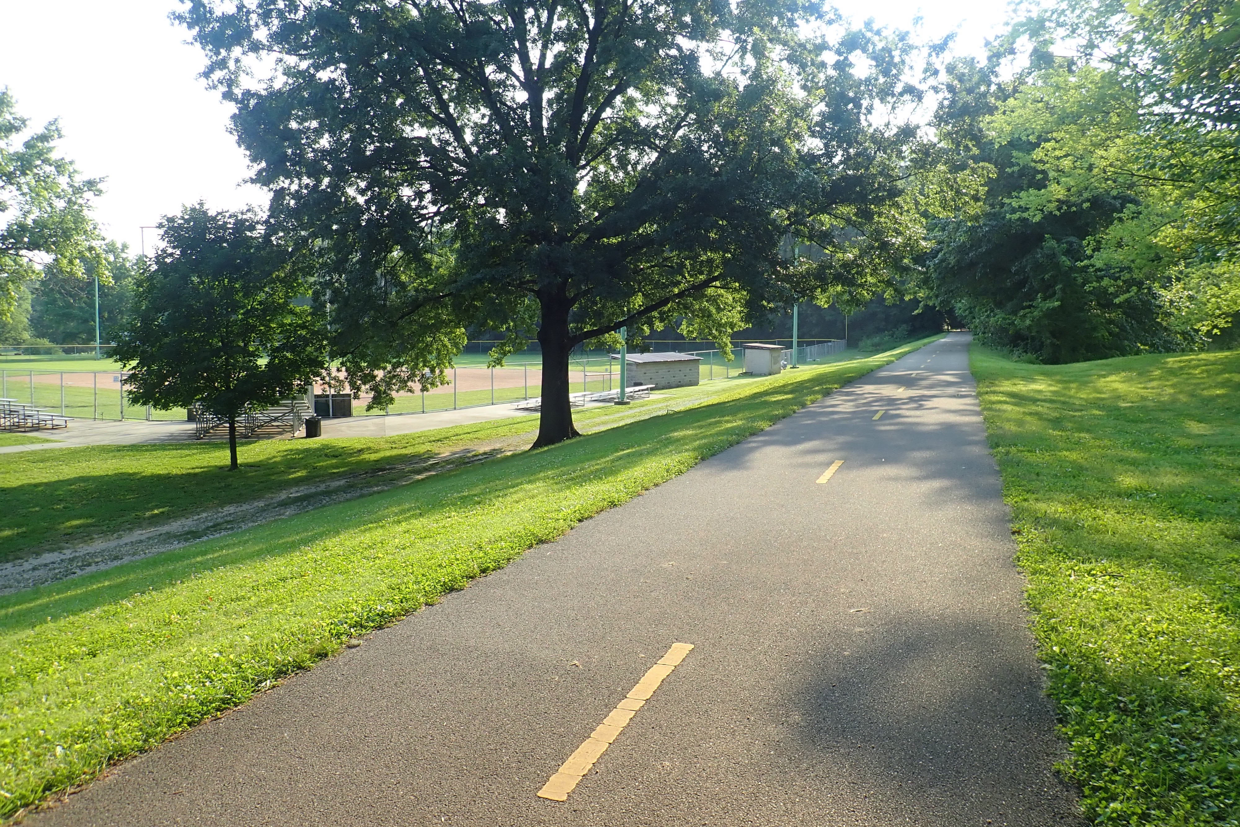
We chose a different starting point for today’s ride, at the north end of the 2-Goshen Trail.
Intersections with 5-Watershed Trail:
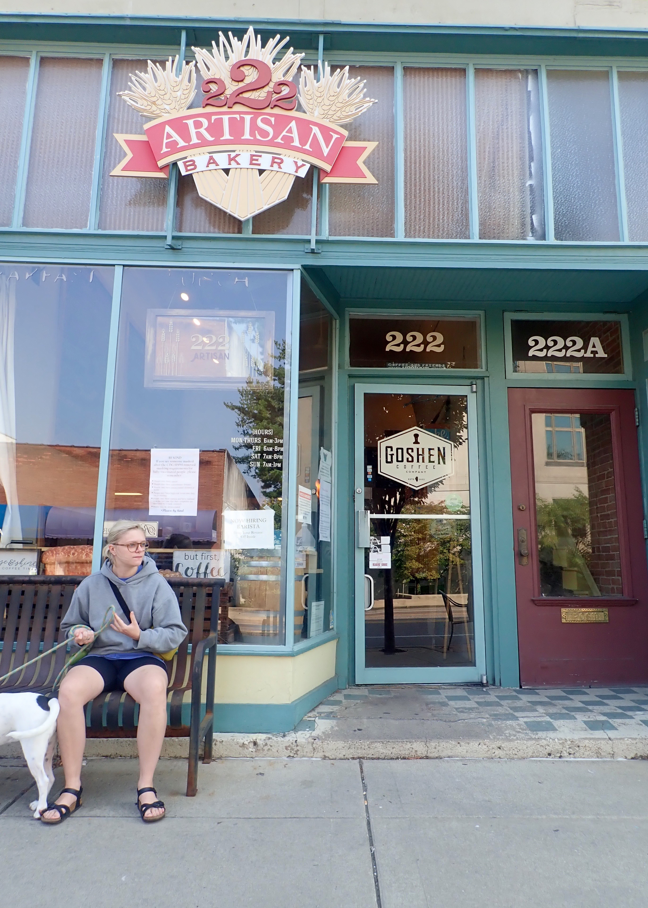
In Edwardsville, we found a bakery with delicious treats:
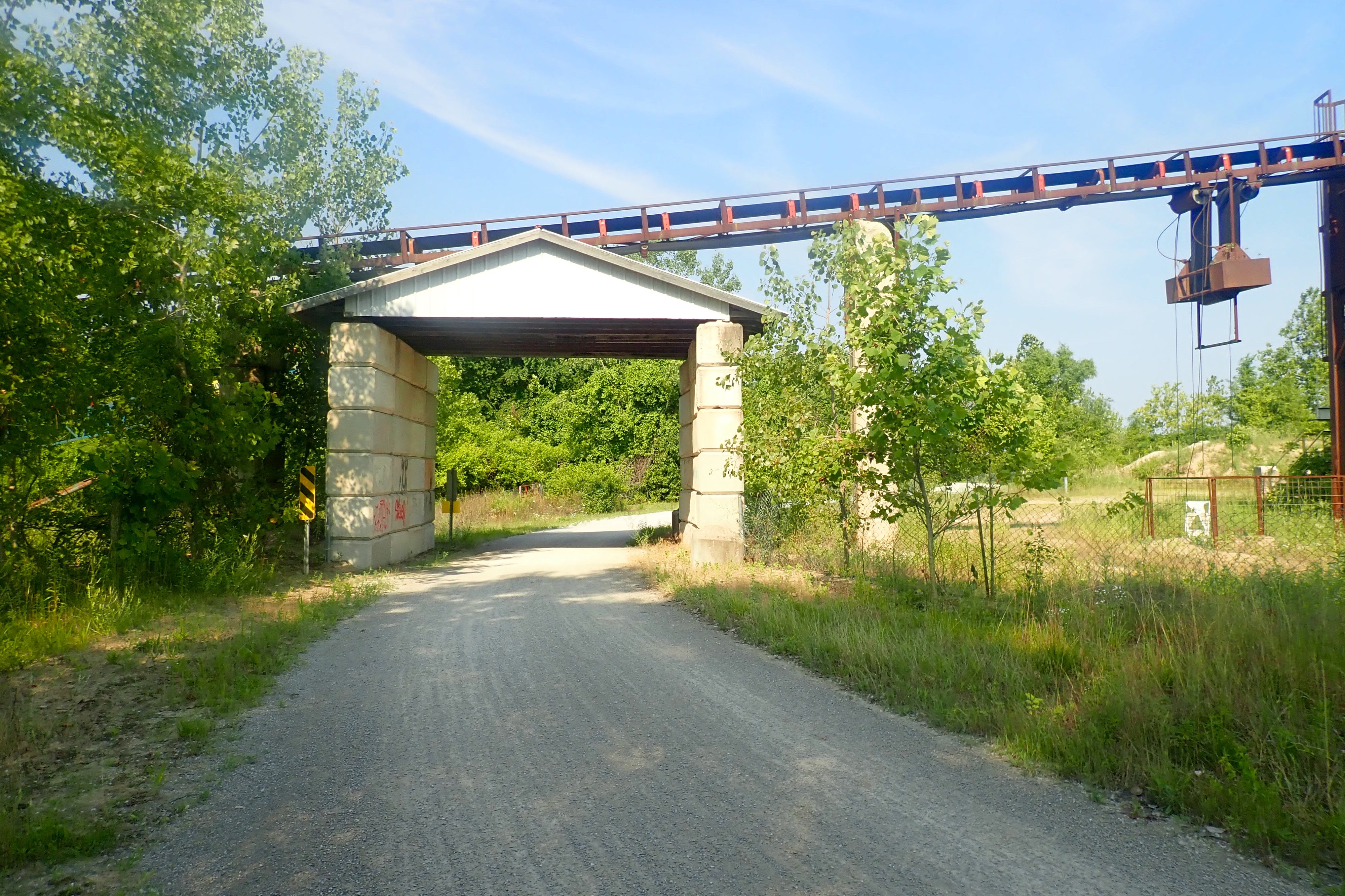
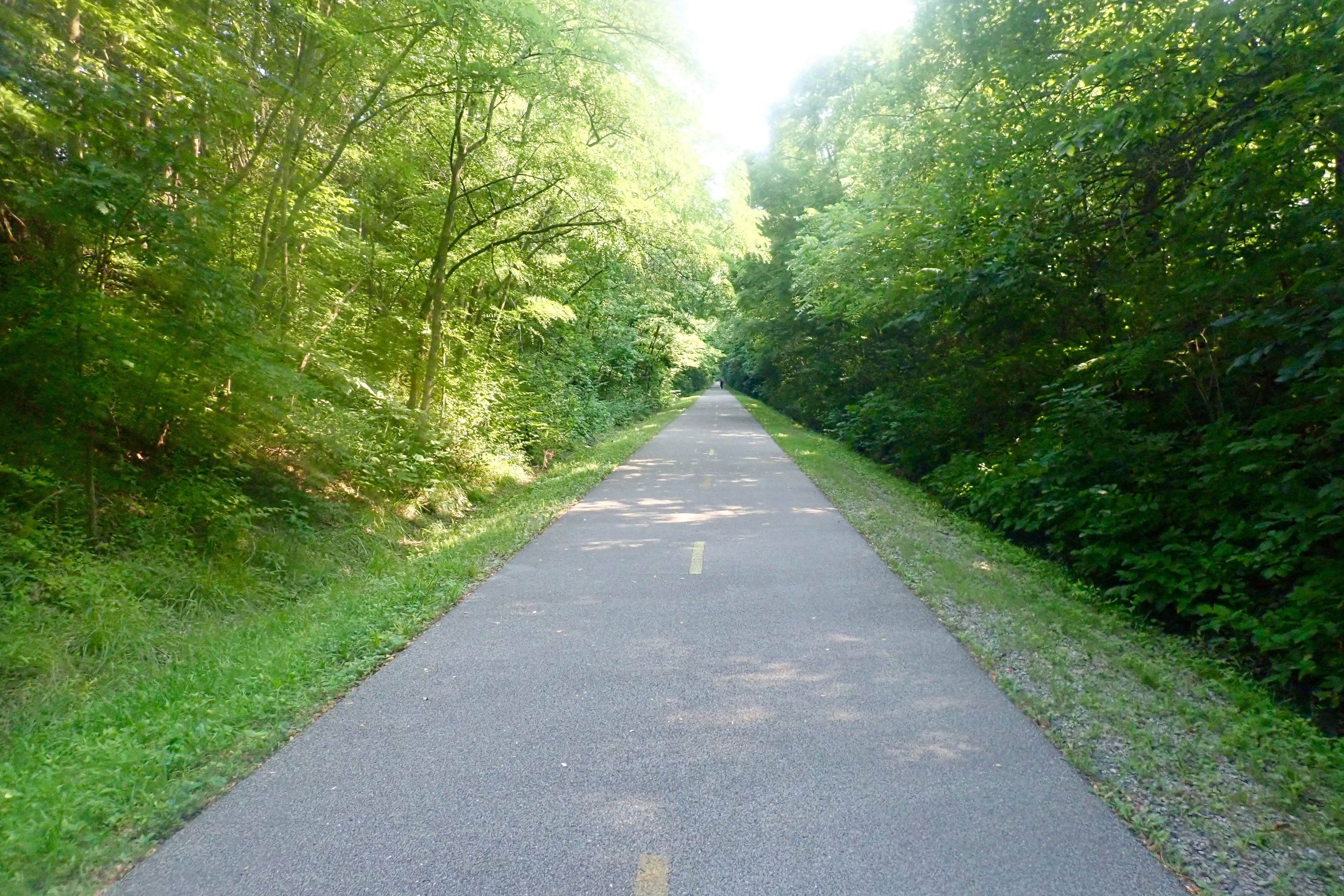
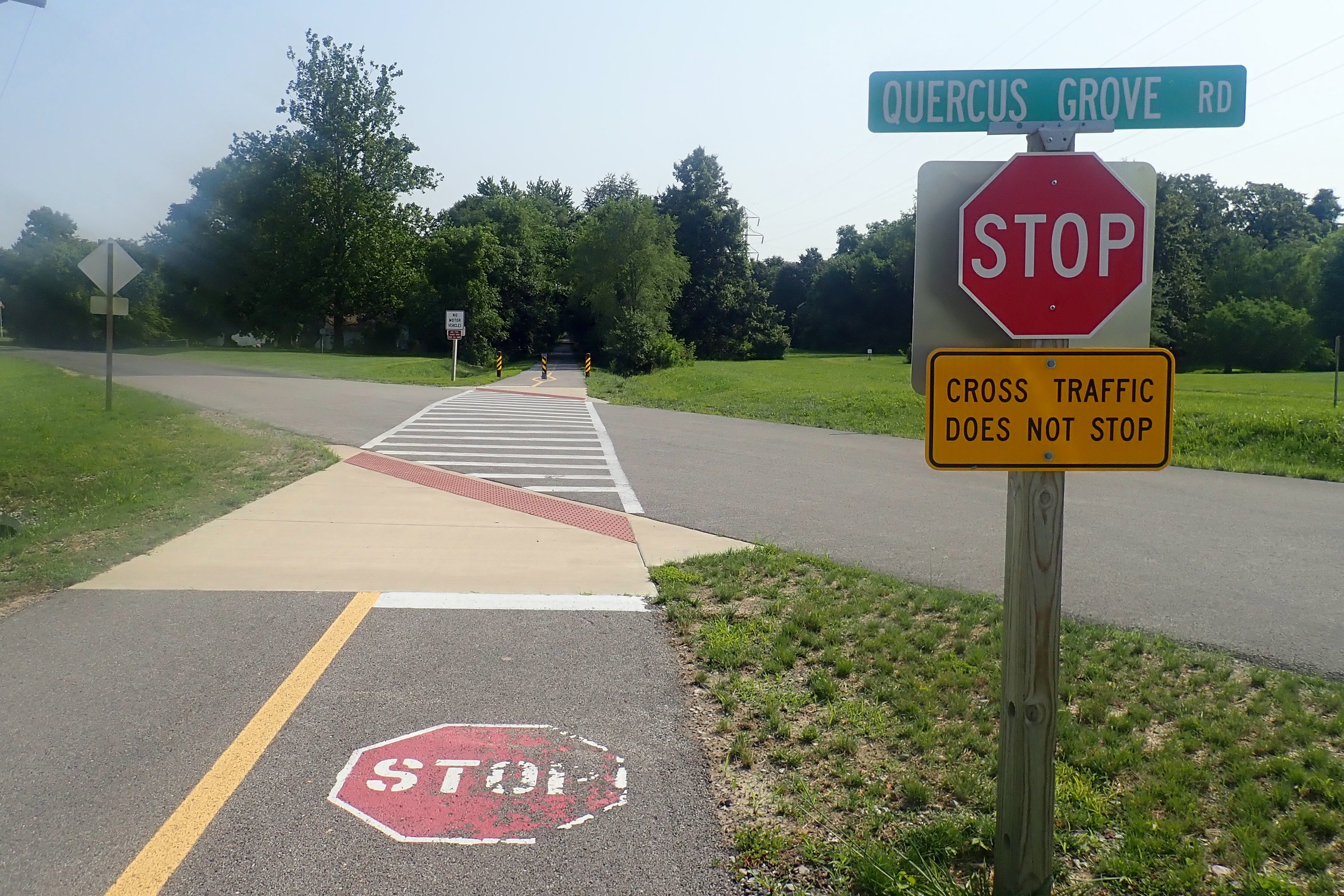
After a short ride on city streets, we picked up the 6-Quercus Grove Trail. We stopped frequently at the green wooden structures with the map and a big arrow pointing to “You are HERE” to see if we were truly going where we intended.
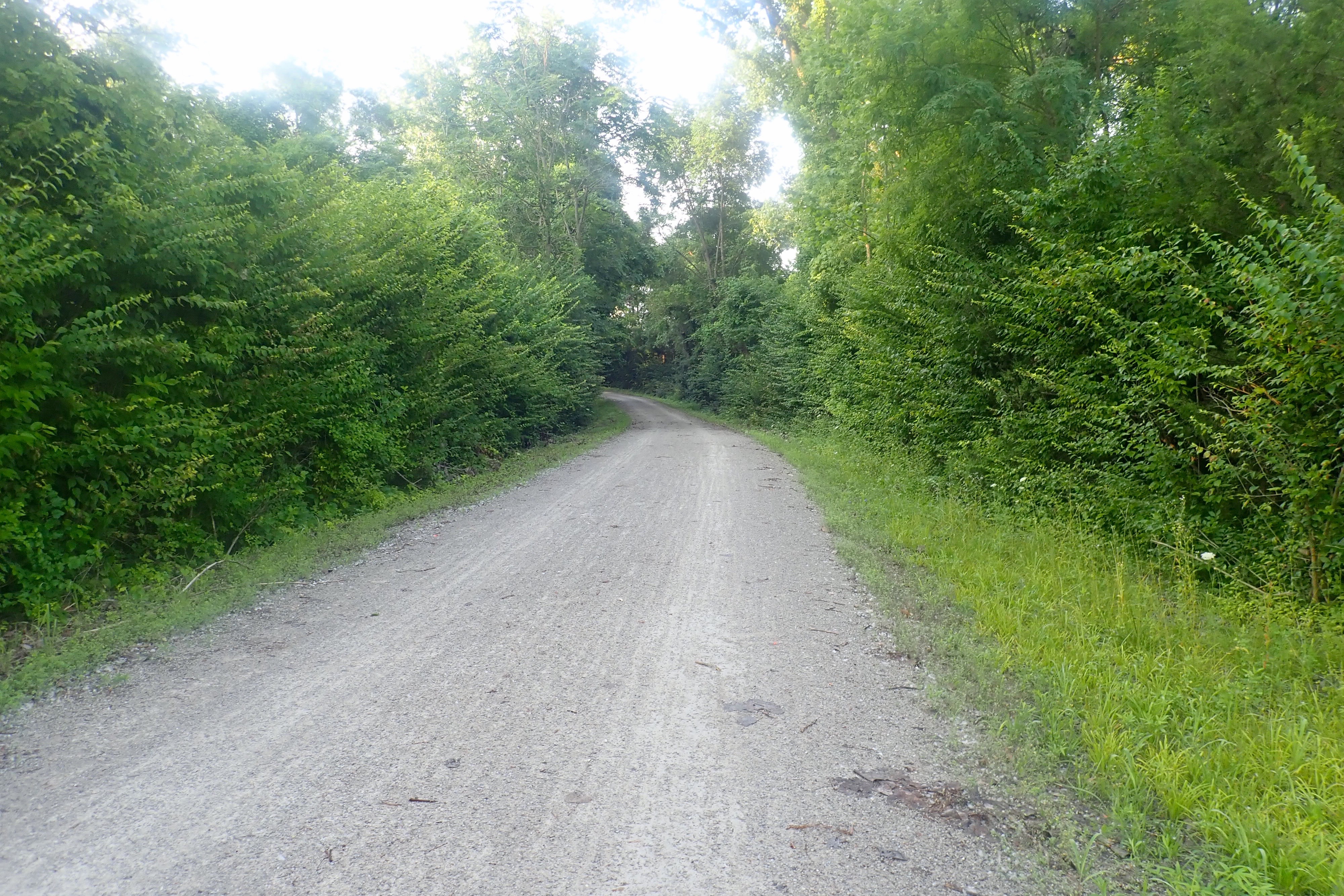
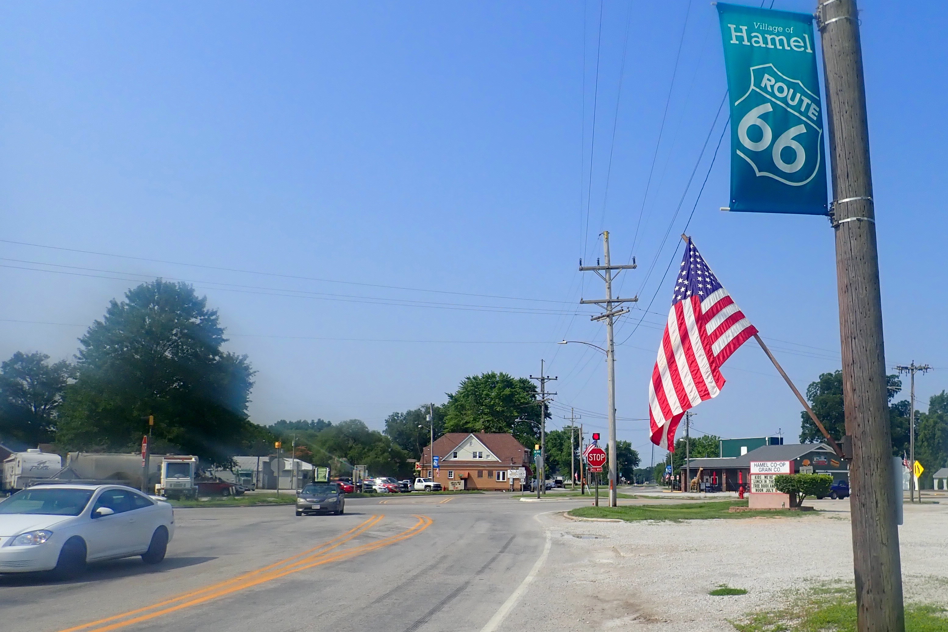
Our turnaround point was Hamel IL on Route 66:
Jerusalem Road – a short connector on a gravelly paved road between tall crops of corn:
30 miles today. Another great day of riding on an excellent county trail system. In 2 days, we rode 56 miles on 6 different trails. Cool.