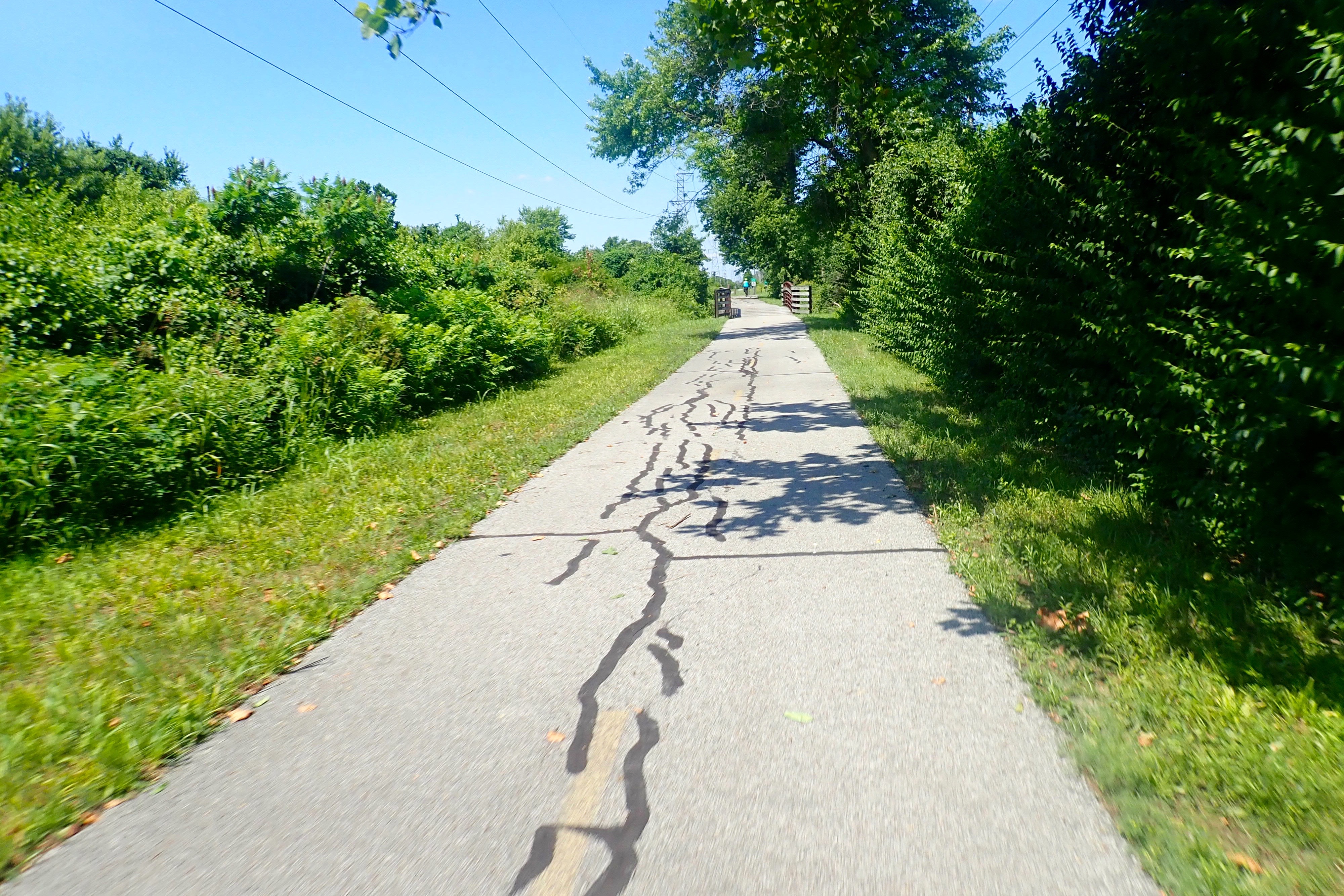
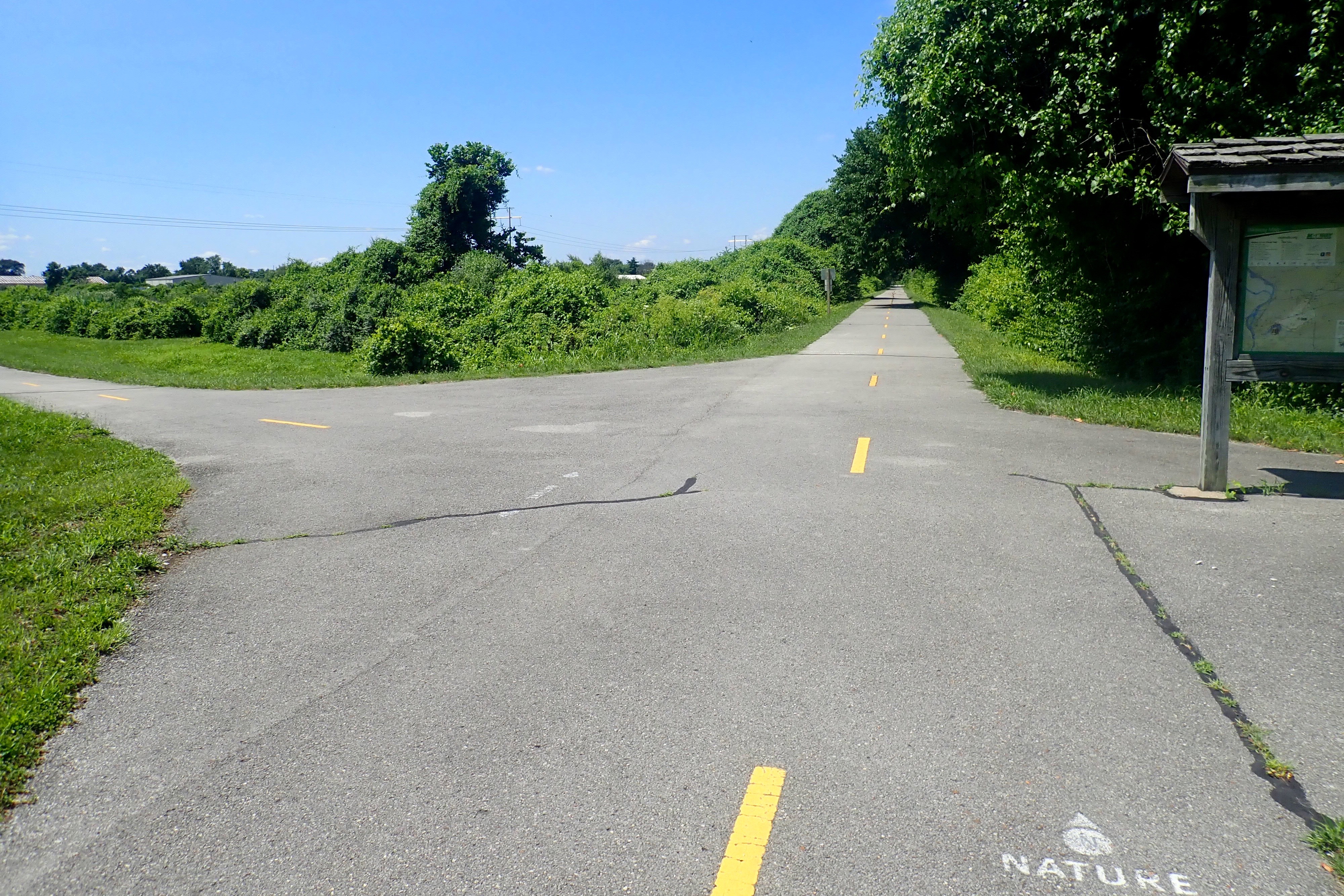
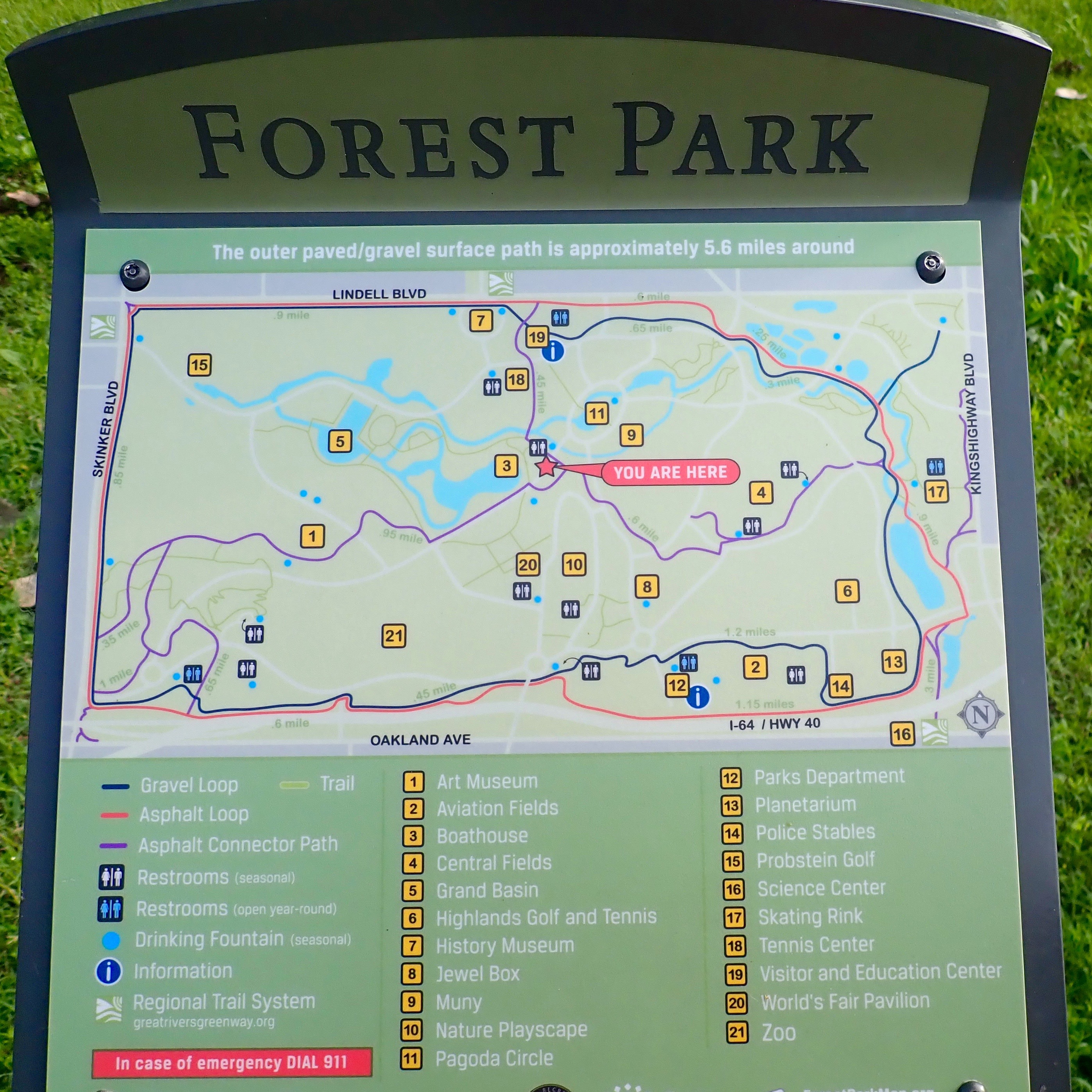
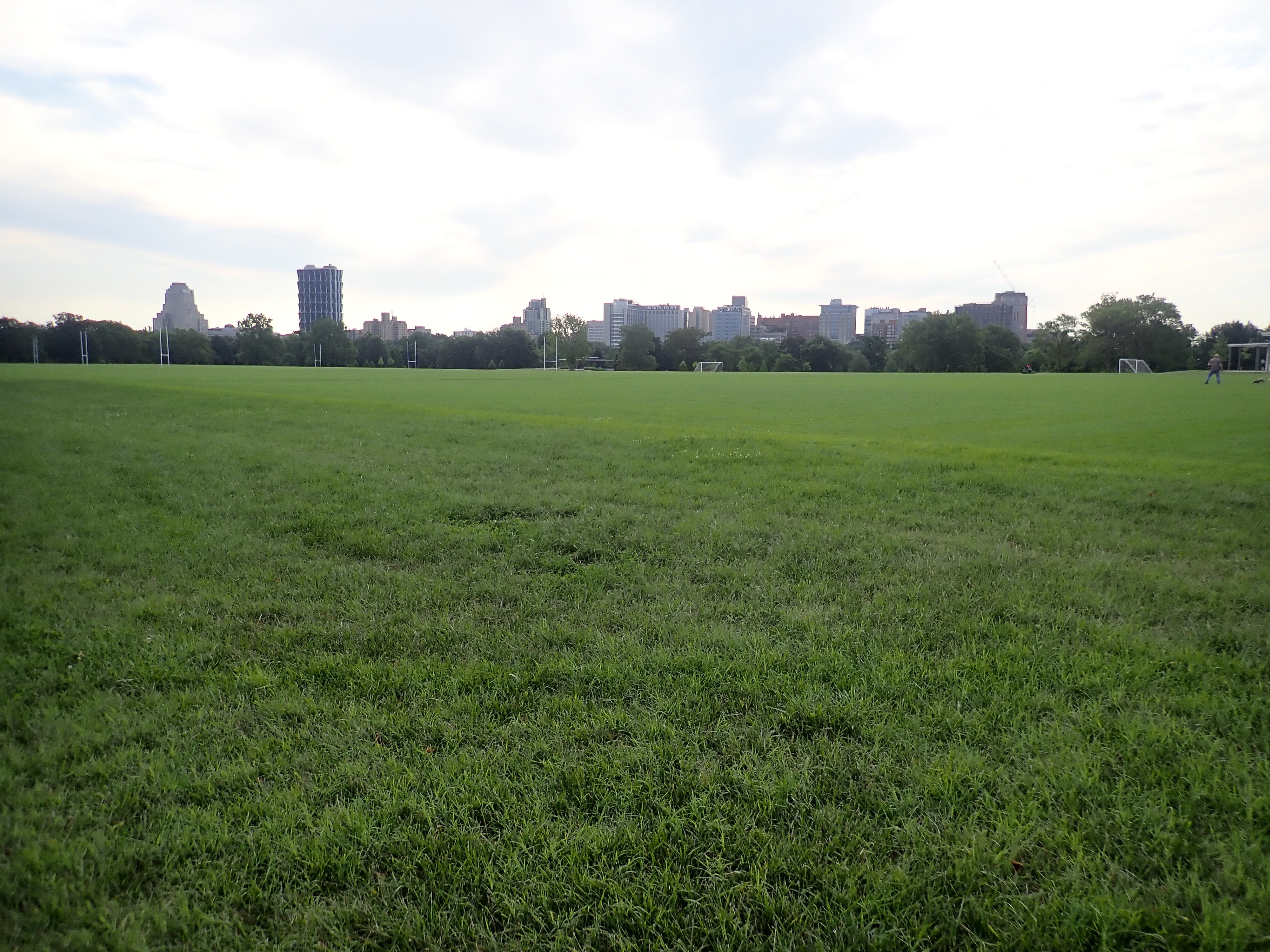
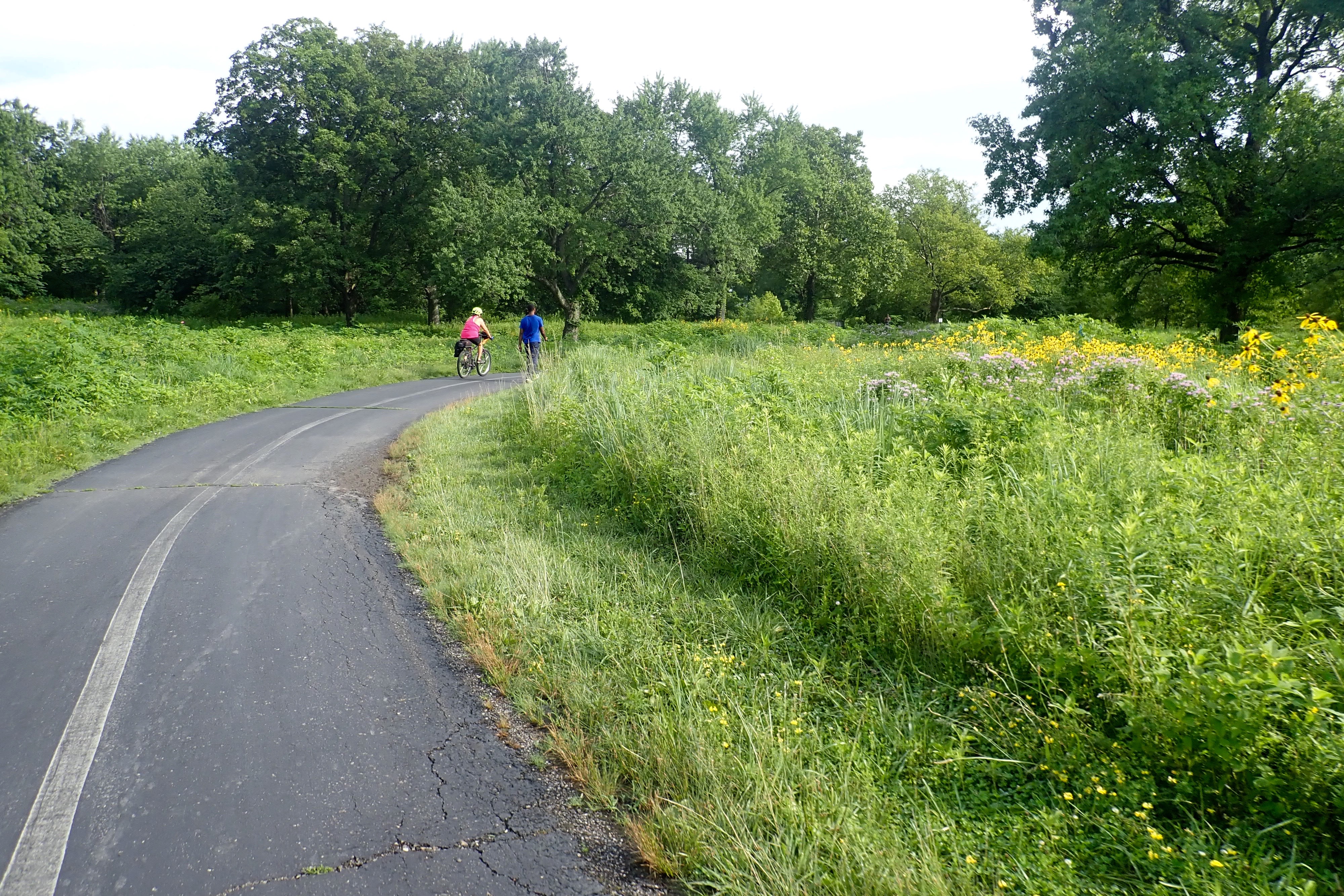
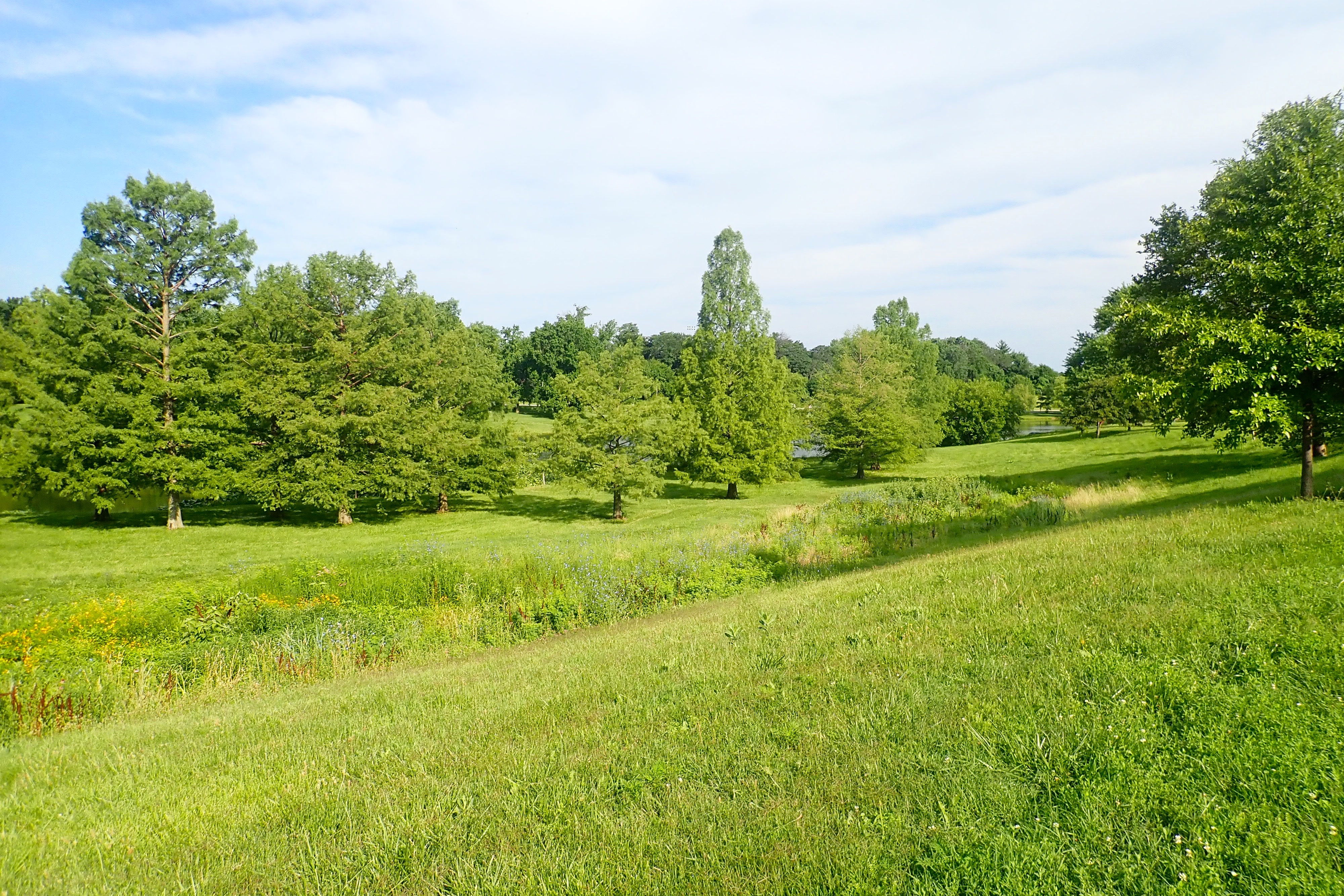
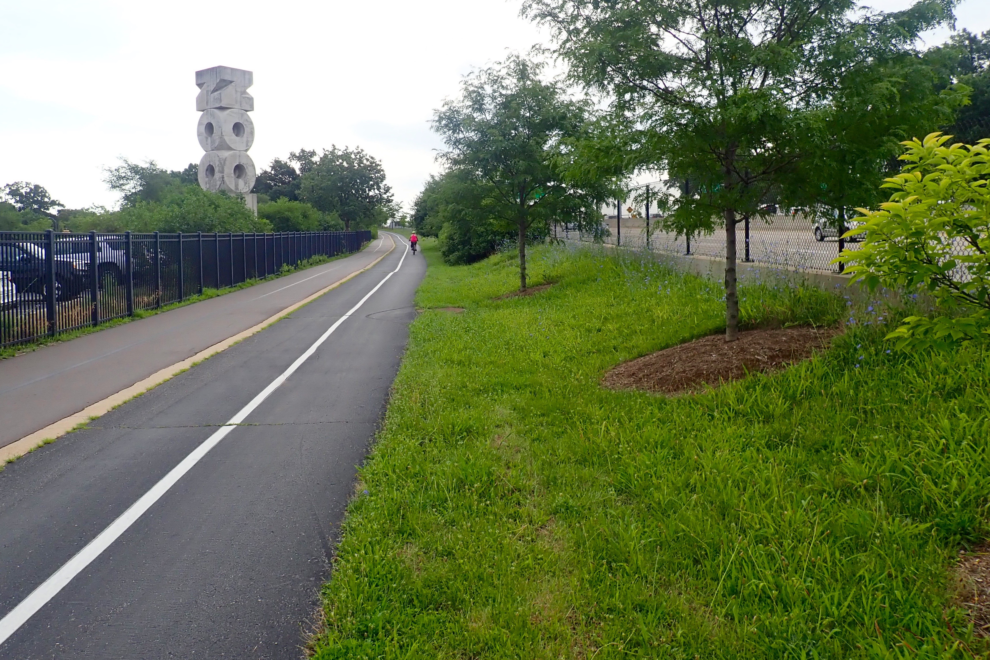
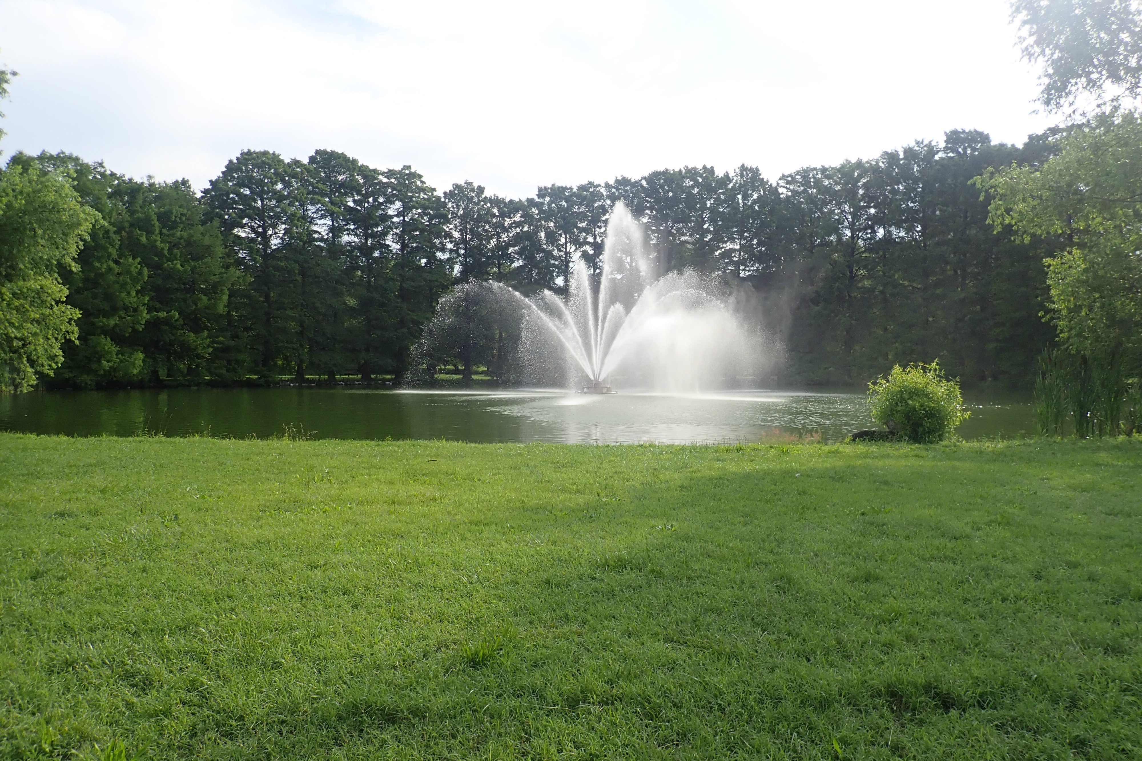
A beautiful 1300-acre park in downtown St Louis with a zoo, golf course, fish hatchery, sports fields, history museum, art museum, lakes, rivers, forests, outdoor amphitheater with seating for 1500 people, (1904) World’s Fair Pavilion, planetarium, and paths everywhere. Pea gravel for walkers, paved for cyclists and brave walkers/runners – directional signs point to “Heels” or “Wheels”. The paved outer loop is about 6 miles – we rode it twice. There are also intersecting paths throughout the park.
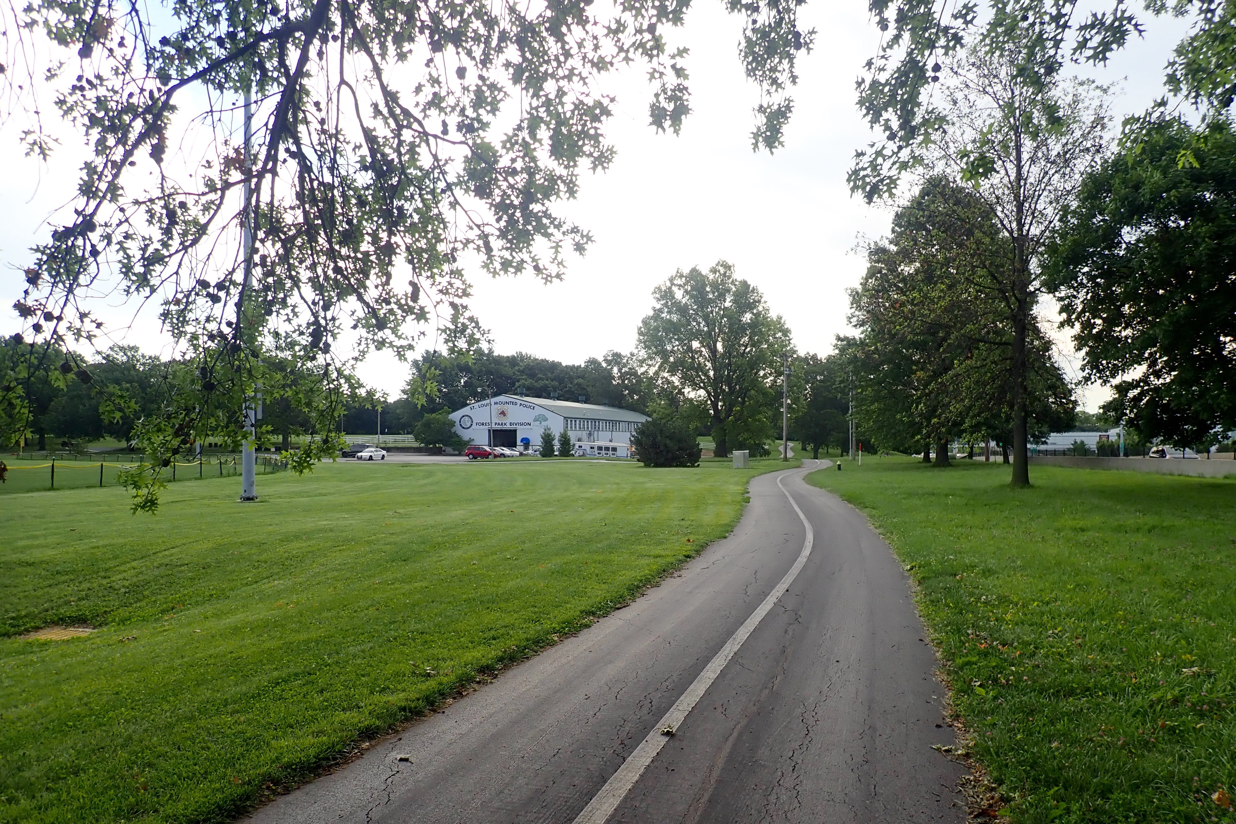
Great ride. 14 miles. We’d parked at the Boathouse in the early morning and did our riding. By the time we were done, it was time for a different adventure and then lunch at the Boathouse.
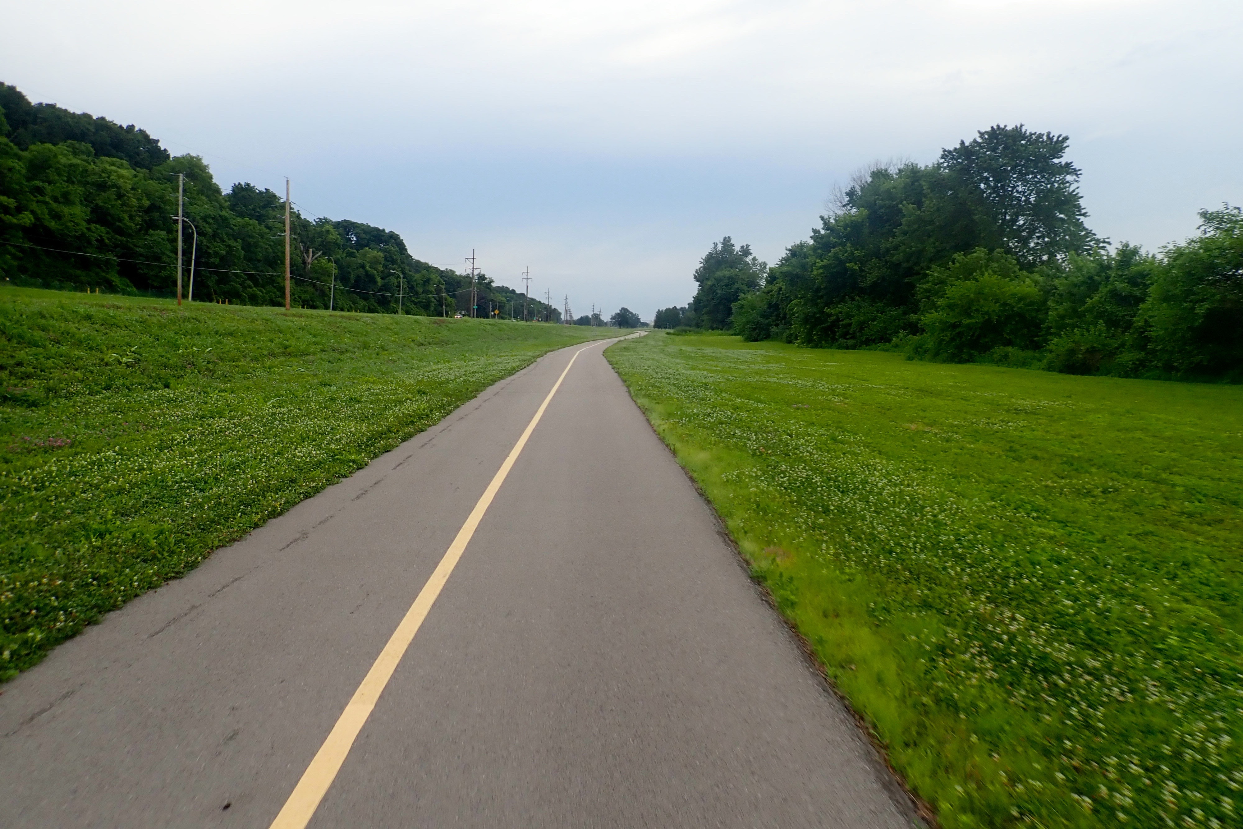
This will be a two-post bike ride description – because I have too many pictures to share – eye roll. We parked at the N Riverfront Park on the St Louis Riverfront Trail VERY early in the morning – we got up at 4:30 and were on the road by 5:15. Another hot/humid day was predicted plus thunderstorms in the afternoon.
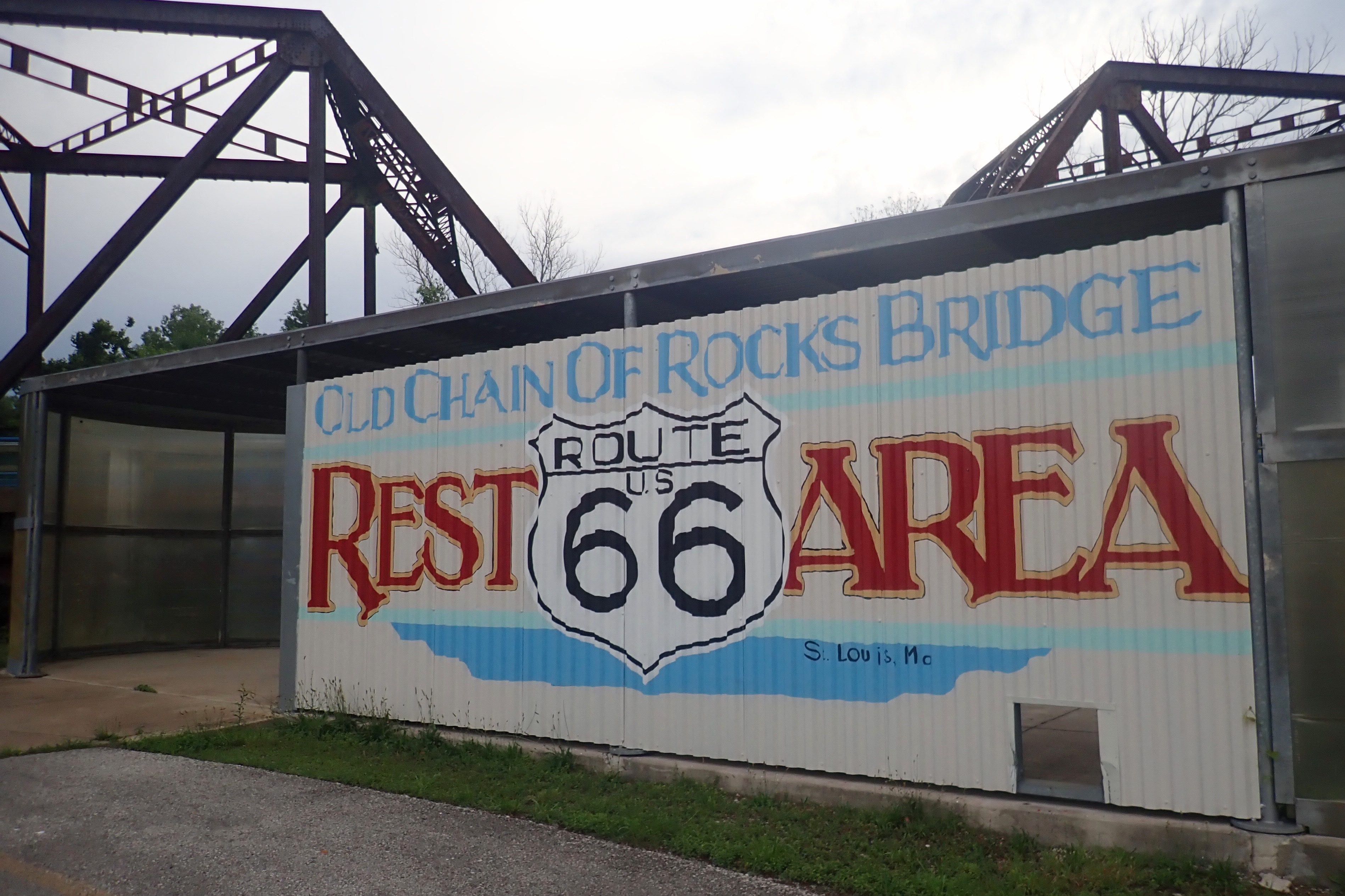
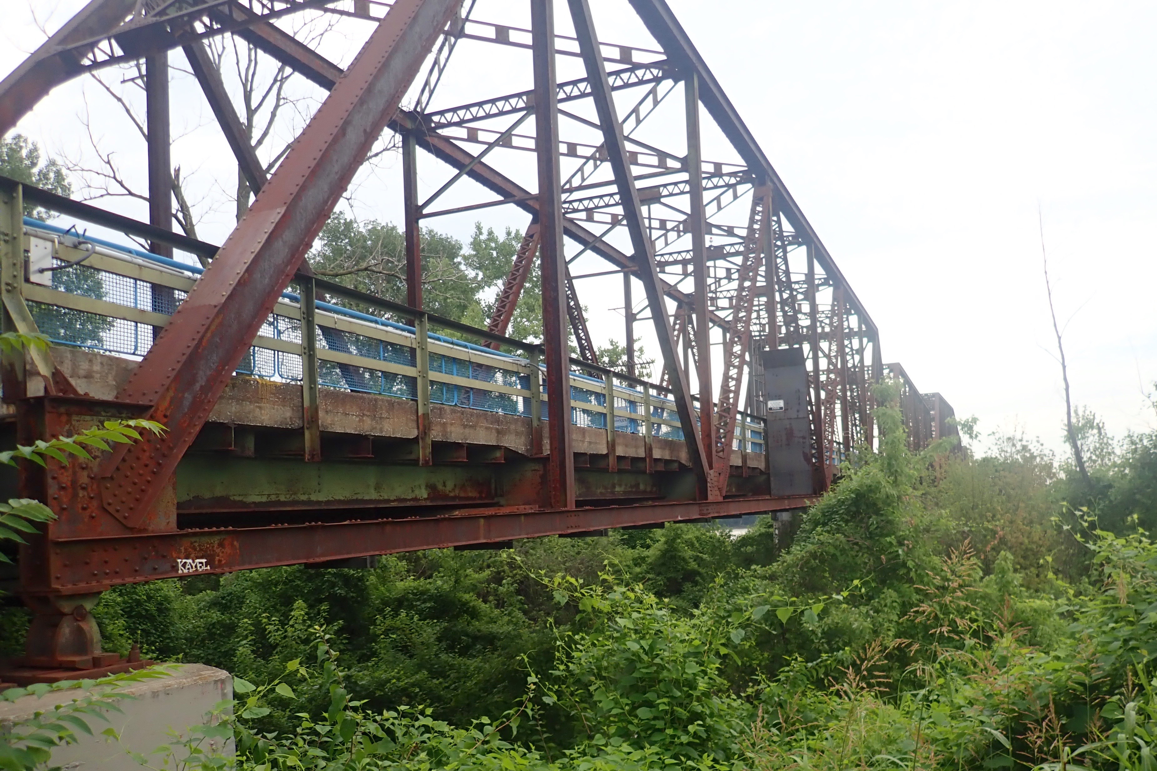
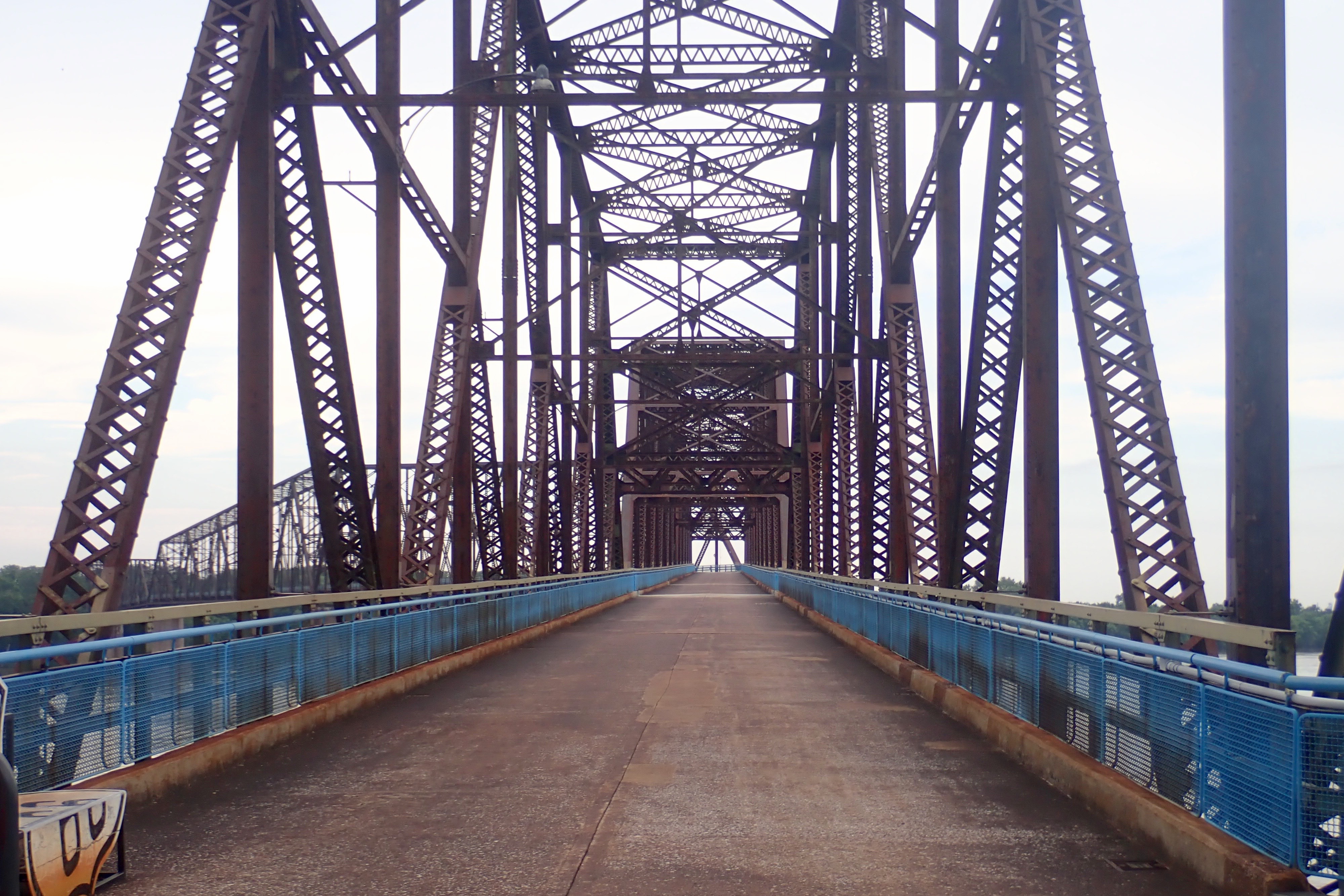
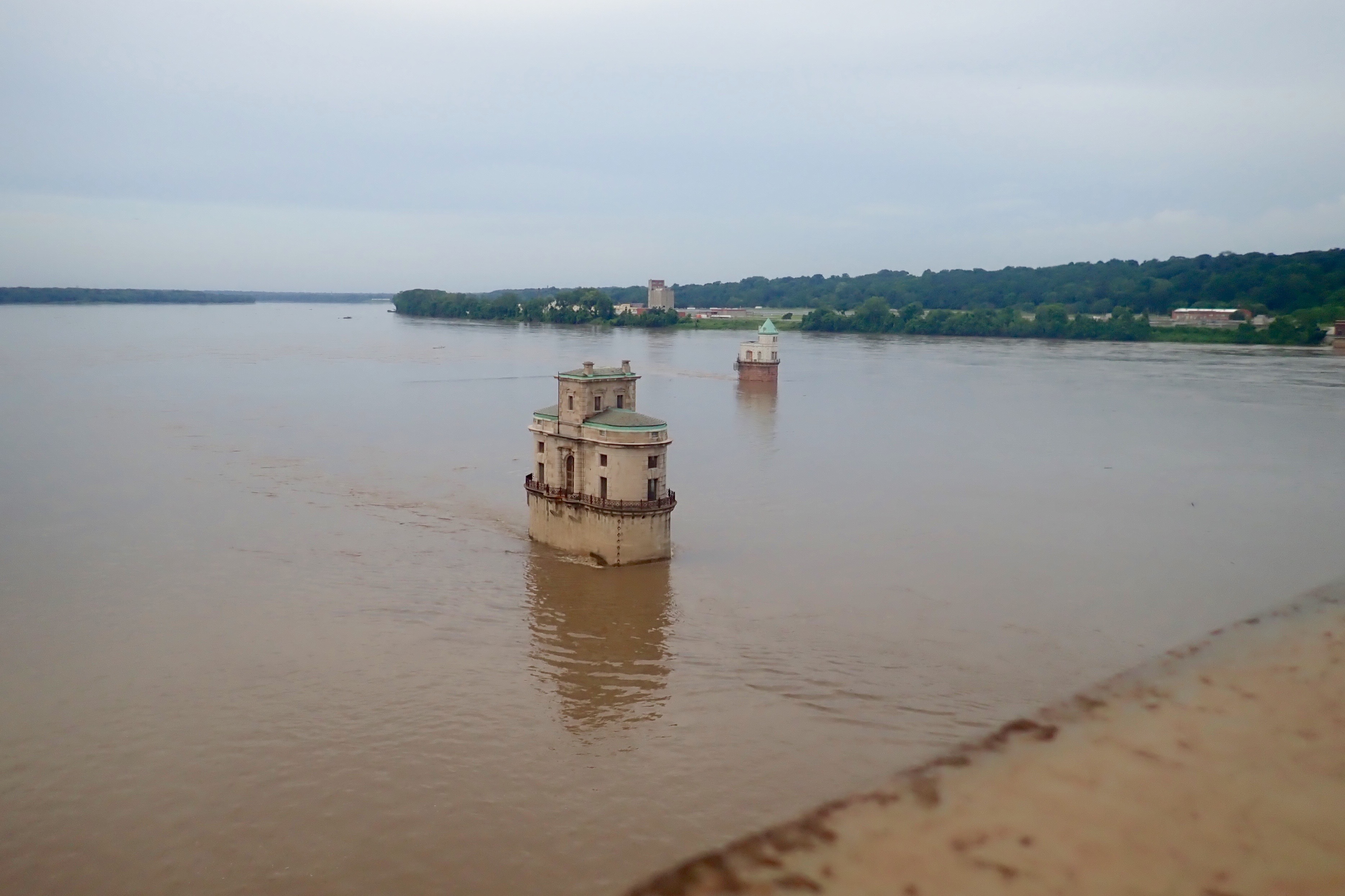
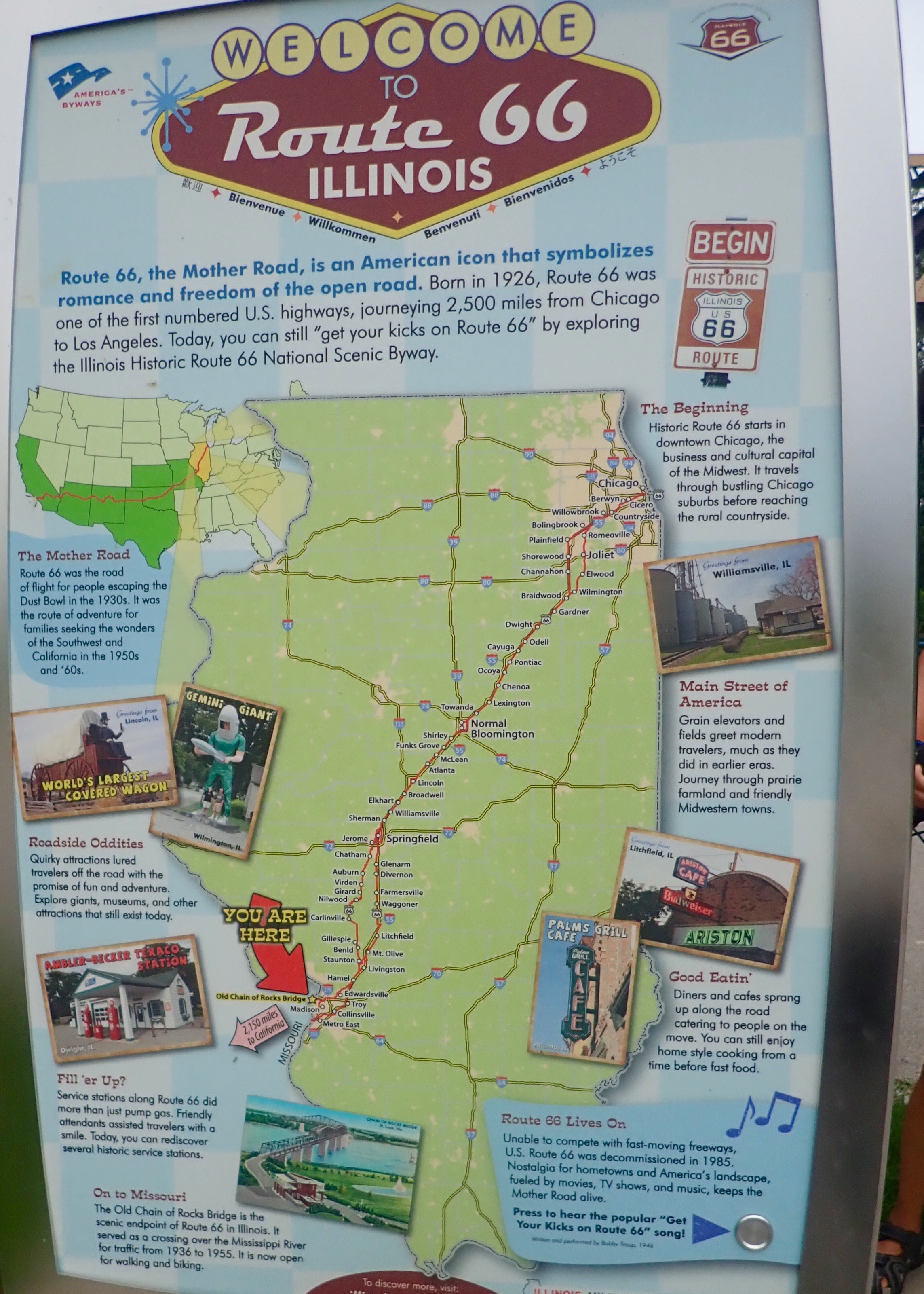
First we headed north to ride across the 1-mile long Chain of Rocks Bridge – a unique bridge with a 22% bend in the middle and served as a Route 66 crossing from 1936-1965.
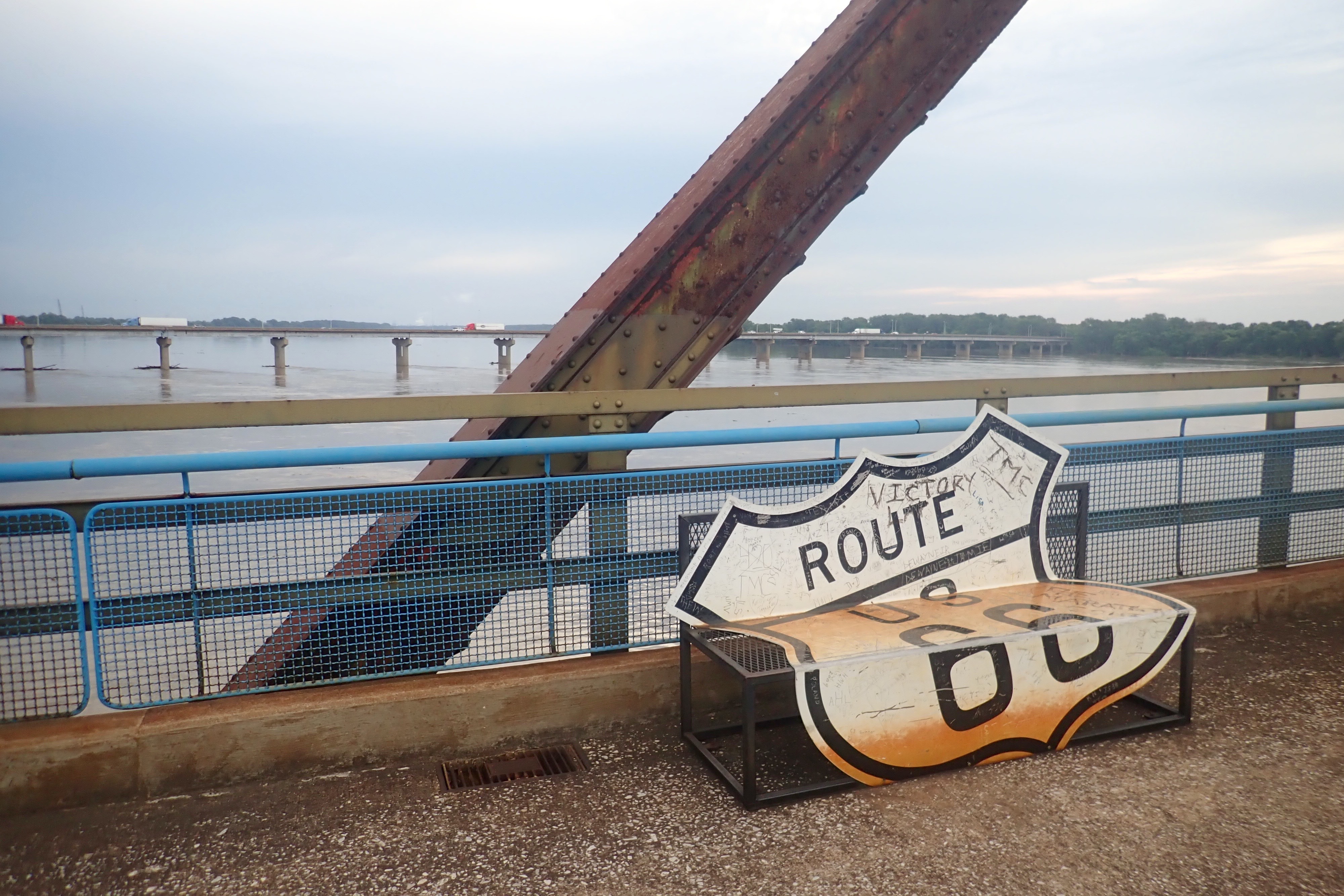
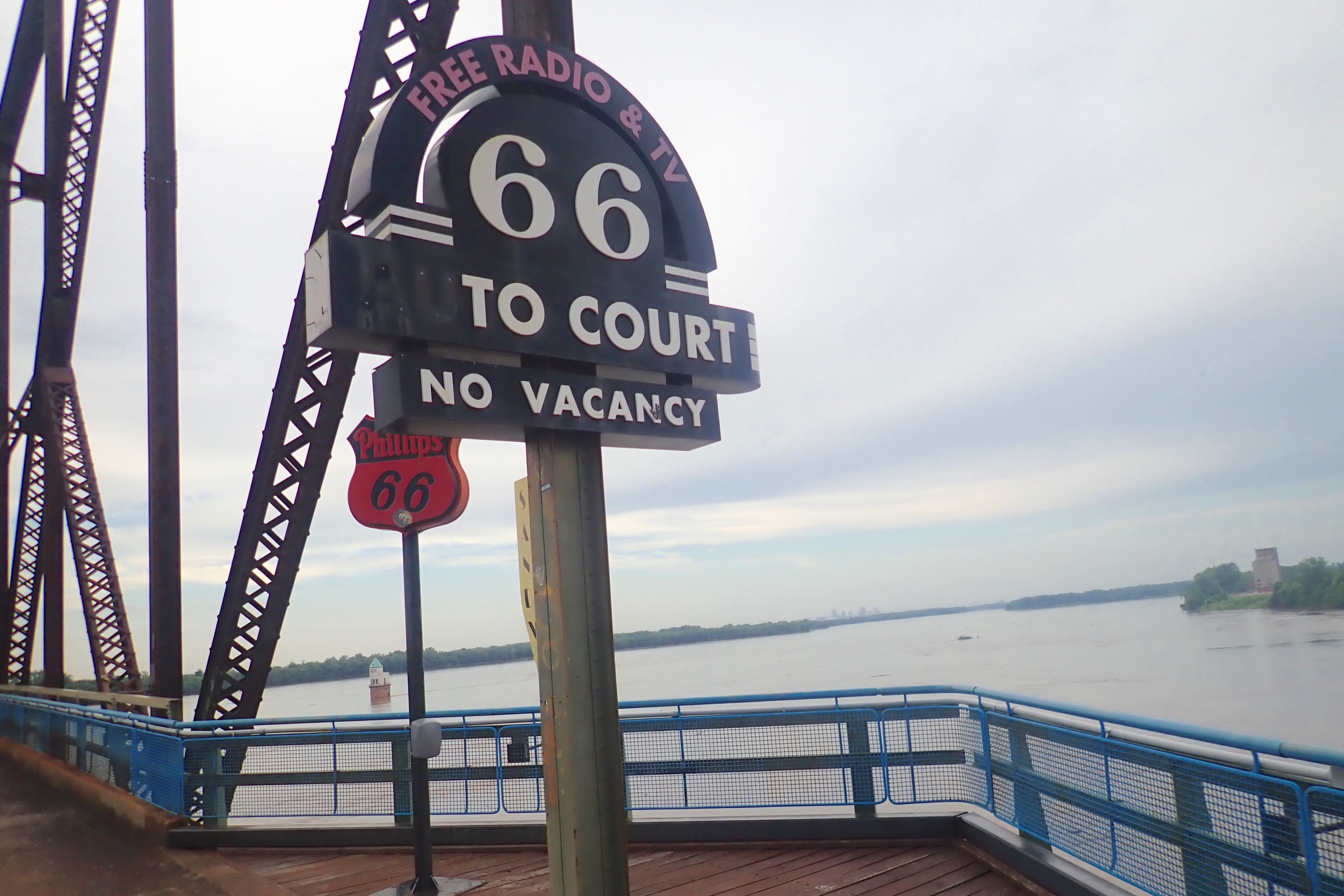
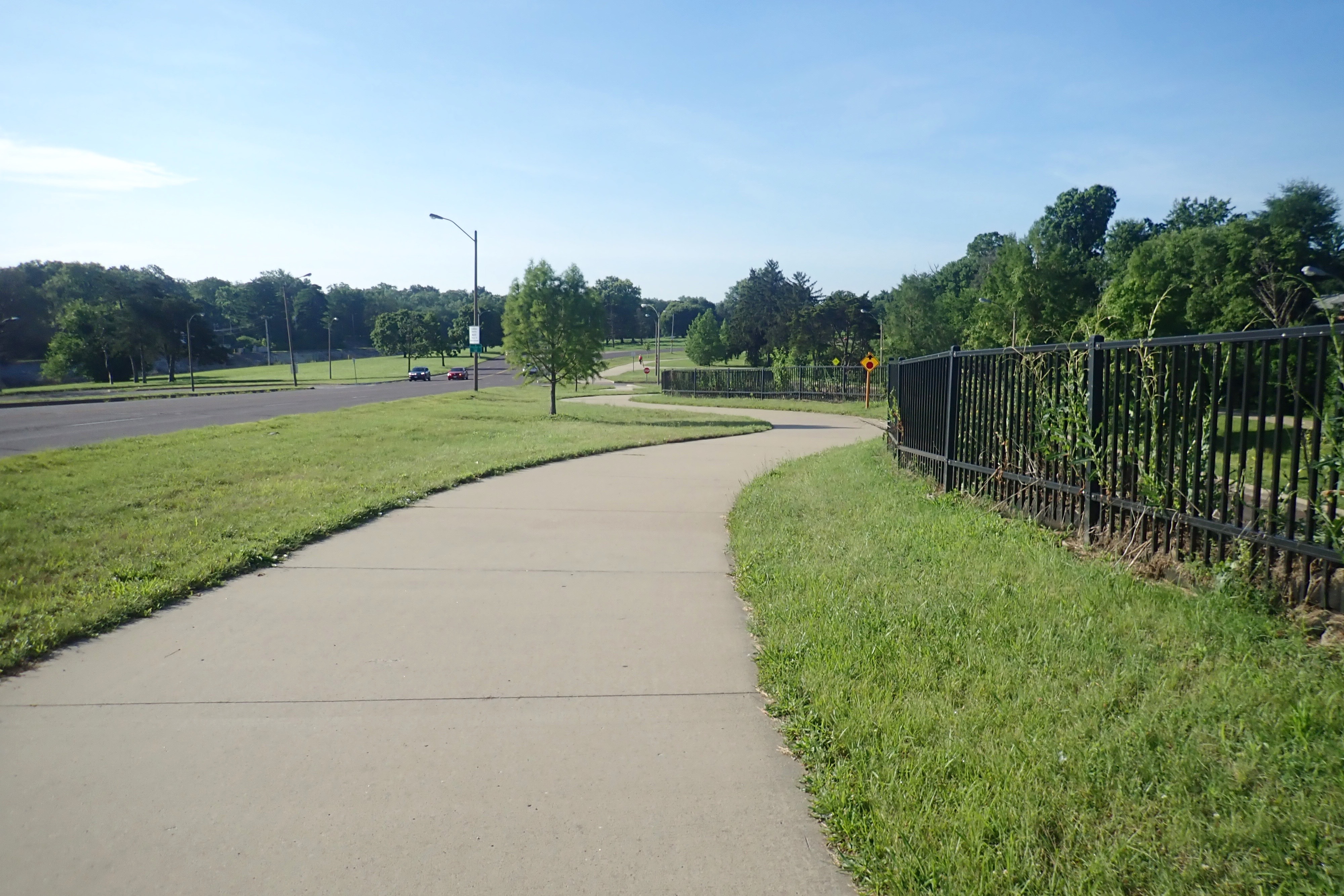
A rest area just before the bridge:
A rest area at the state line between Missouri and Illinois:
On the other side of the bridge, in Illinois, we turned around and headed back to our starting point.
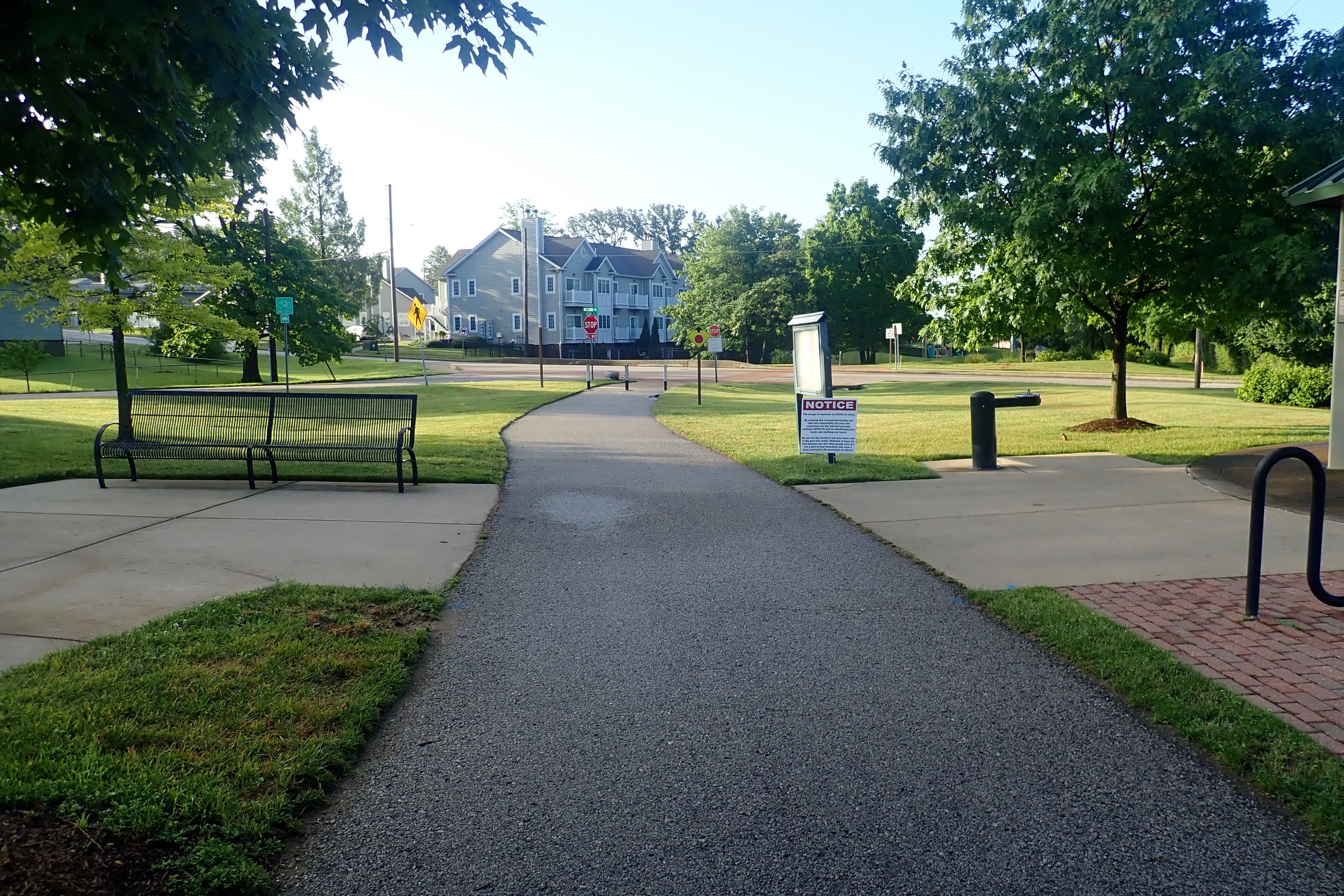
Up and out early again, but not early enough. It was too hot by the time we finished – which was at 10 am btw! We parked at Francis Slay Park.
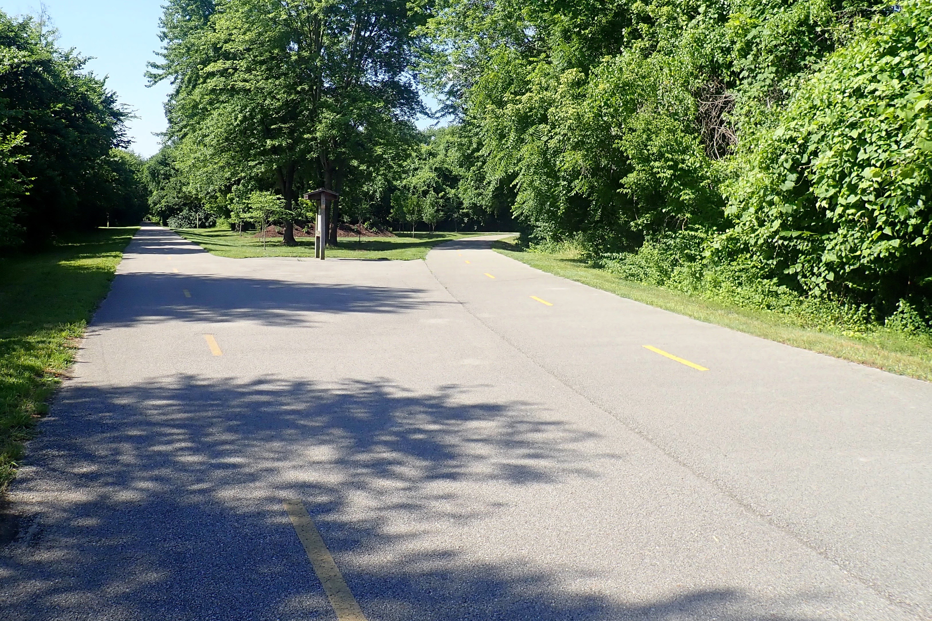
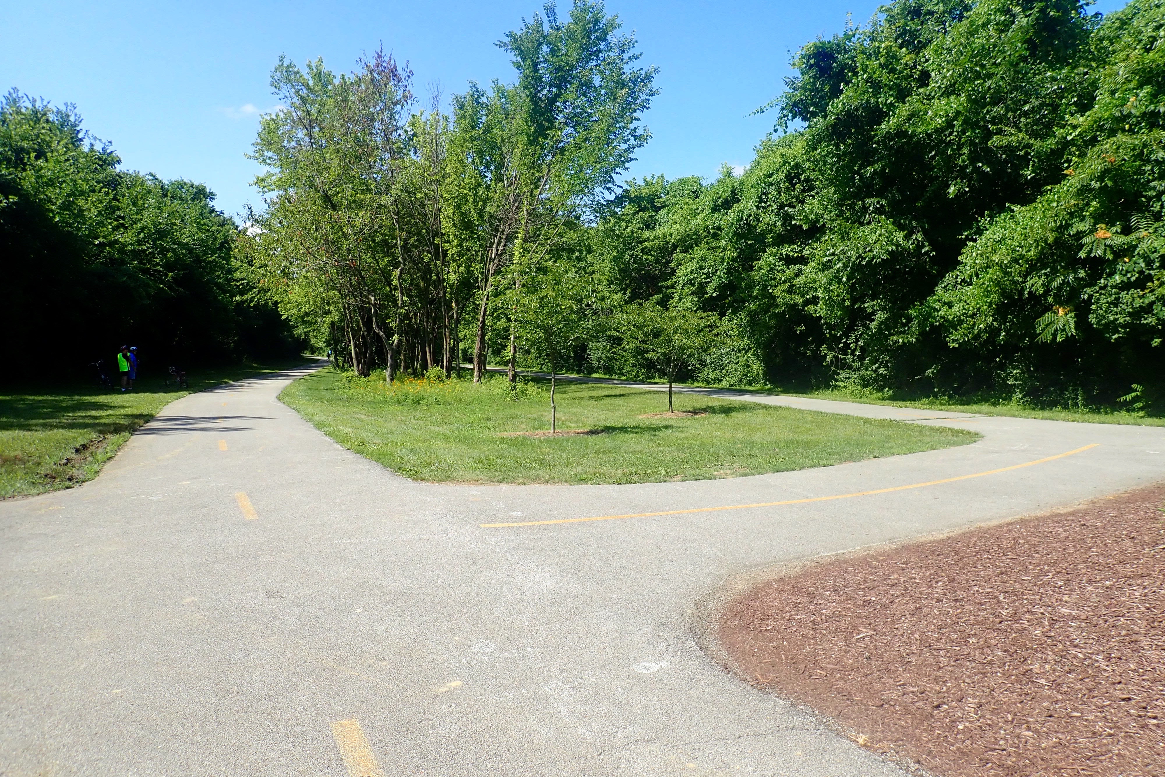
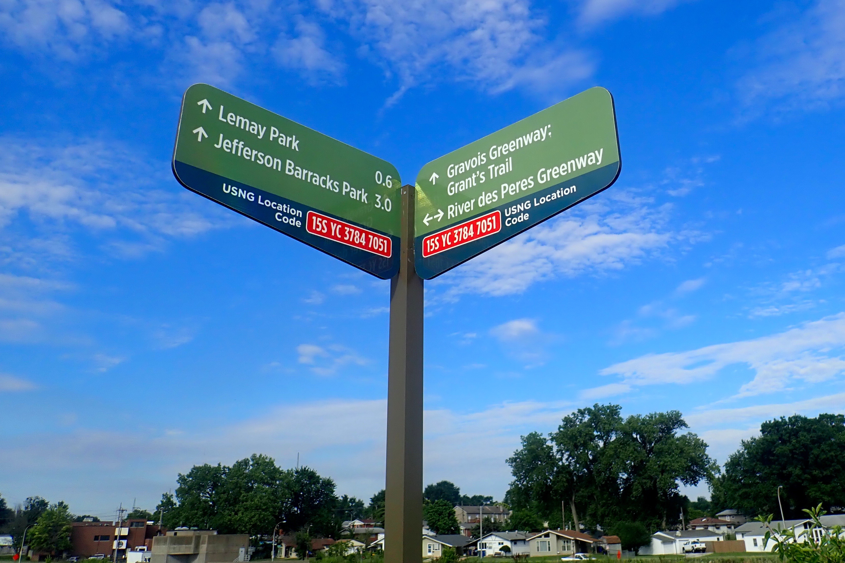
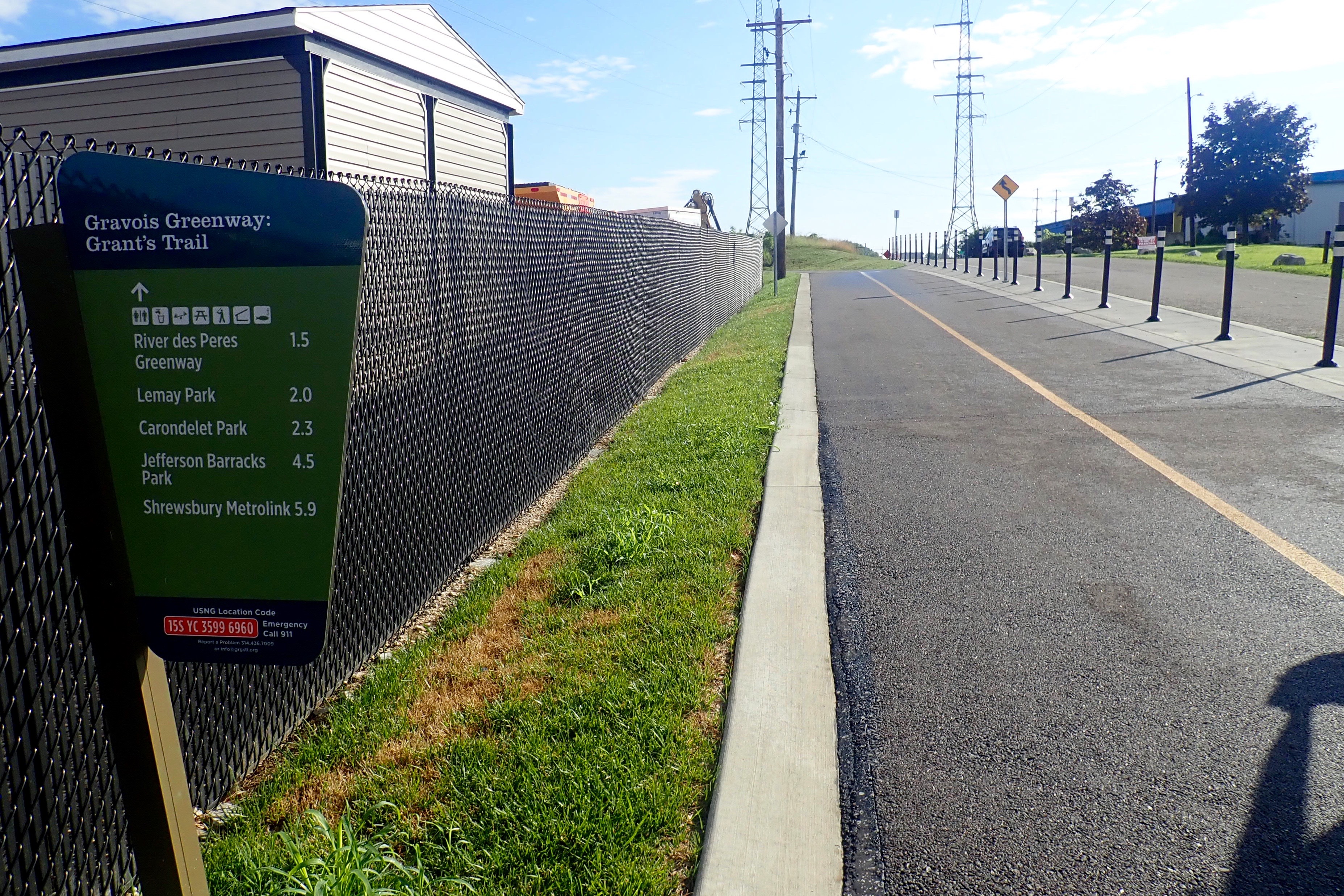
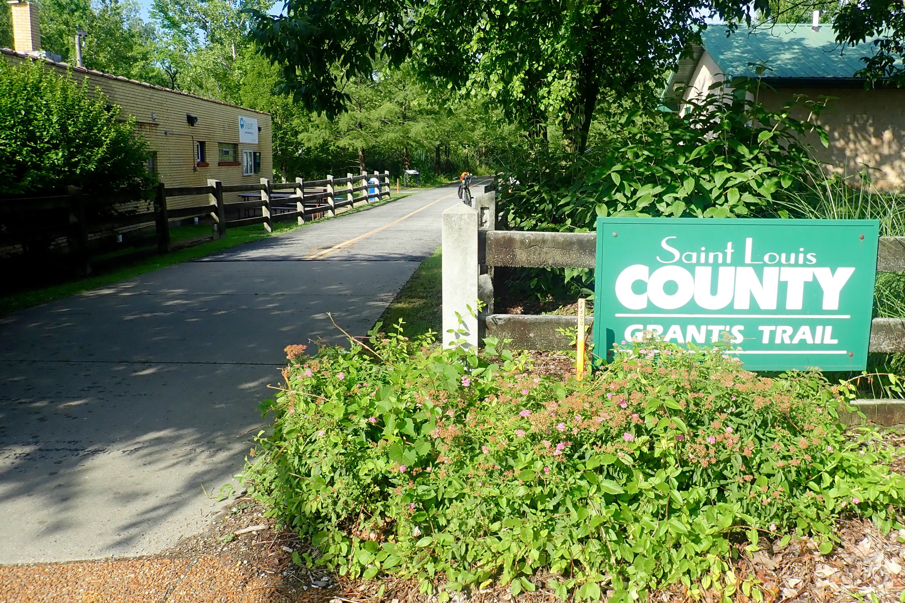
Intersection with Grant’s Trail:
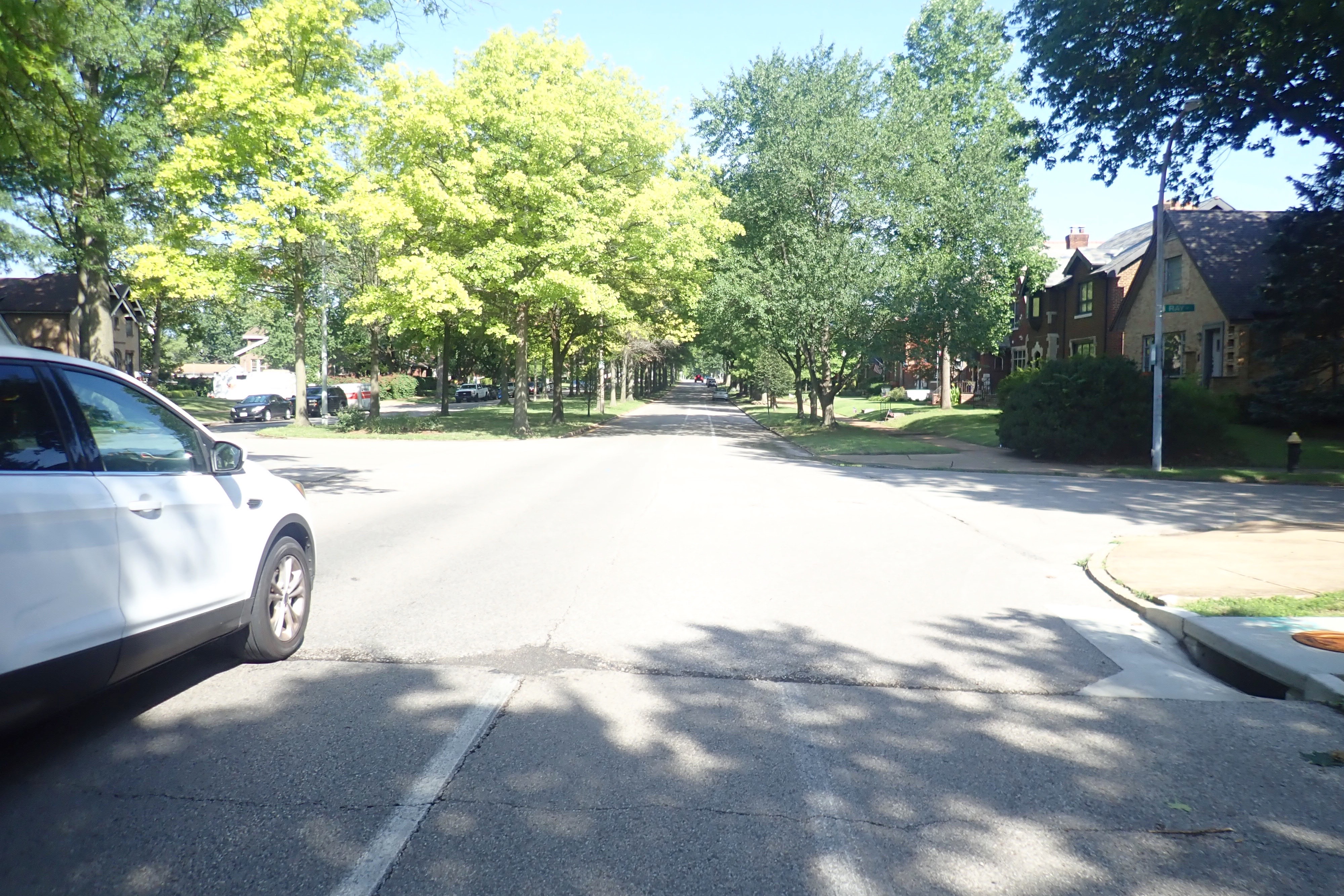
We took the Carondelet Connector, a 1-mile trail which linked us to a Starbucks for breakfast, then Carondelet Park. We were so hot and sweaty by this time, we decided to head back to the car as fast as possible, chose the shortest route through the park and took no pictures. We exited onto Holly Hills Blvd, tree-lined with a bike lane,
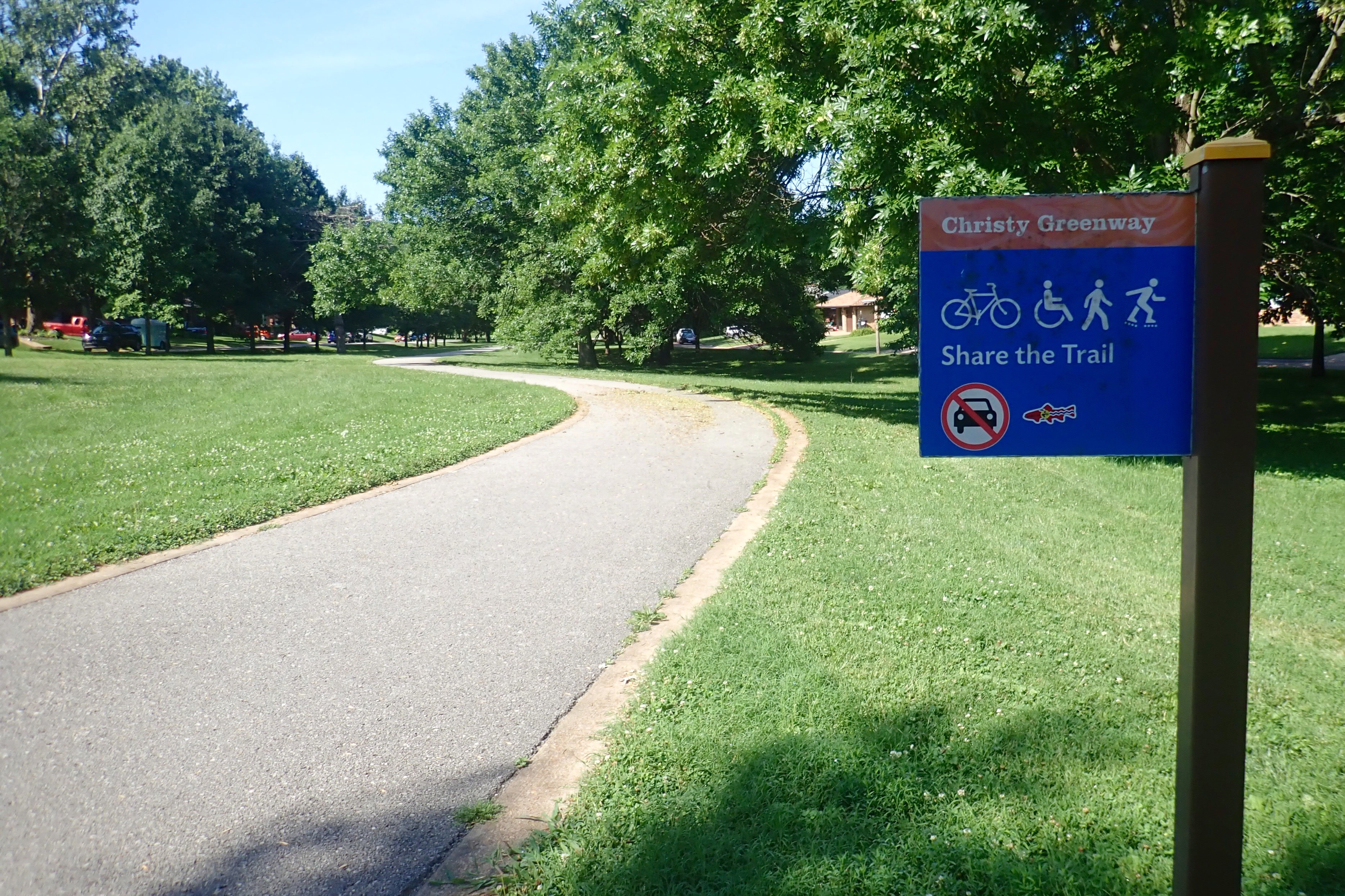
then turned left onto the Christy Greenway:
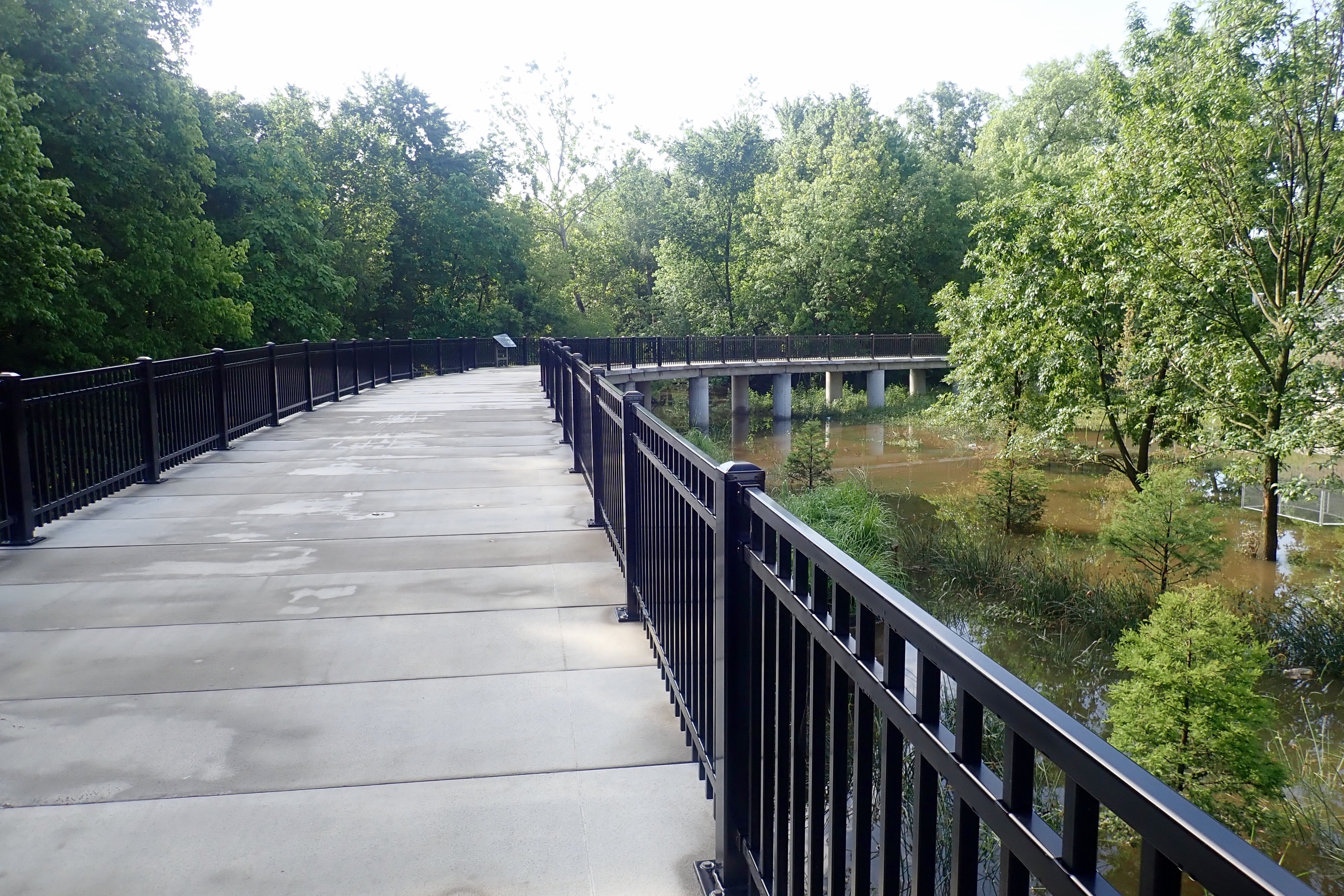
A pedestrian/bike bridge over the river put us back on the River Des Peres and back to the car.
Even though the heat and humidity were depleting, it was a great ride, 17 miles. Load the bikes, turn on the AC and head for Exit 272.
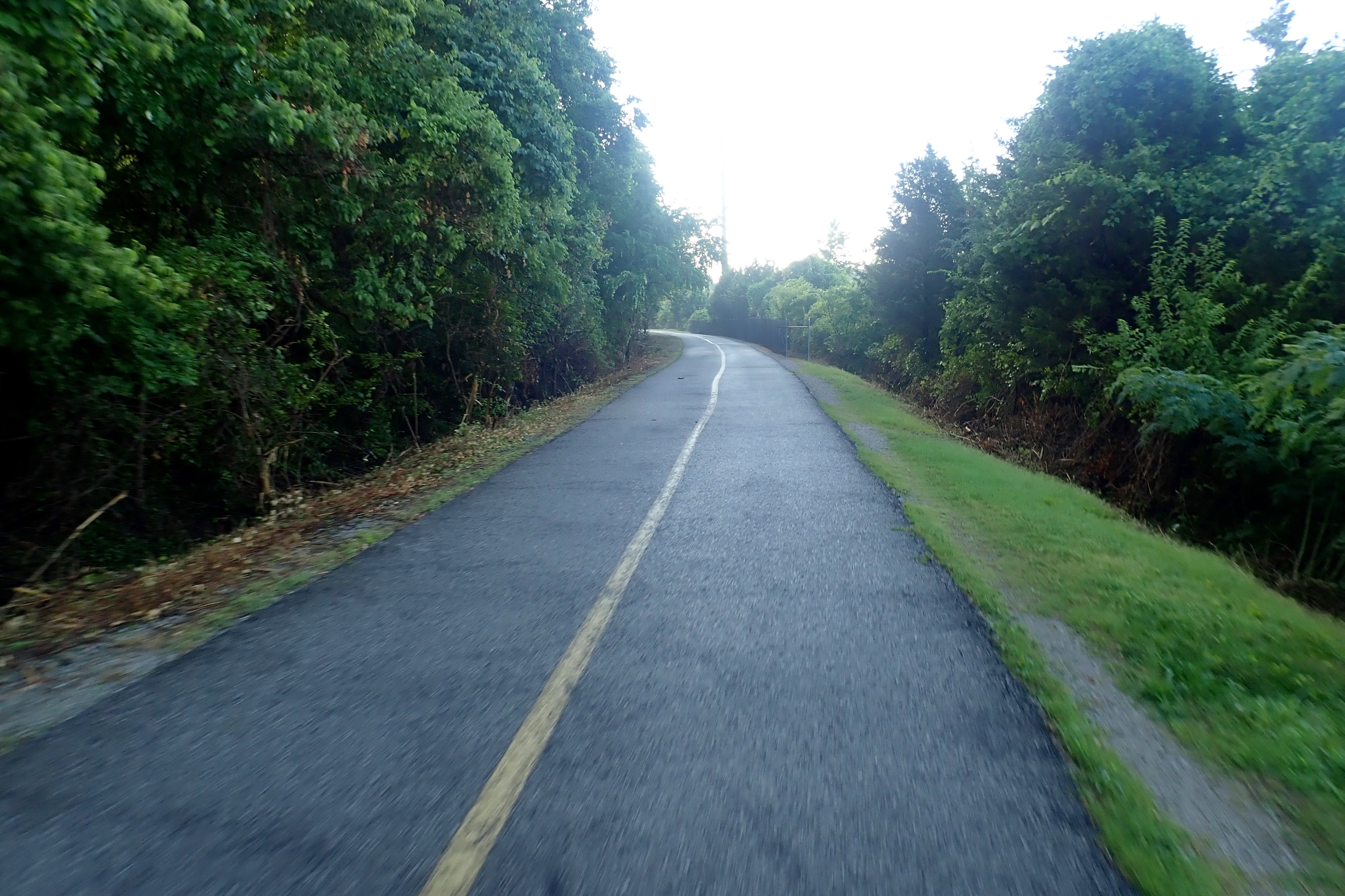
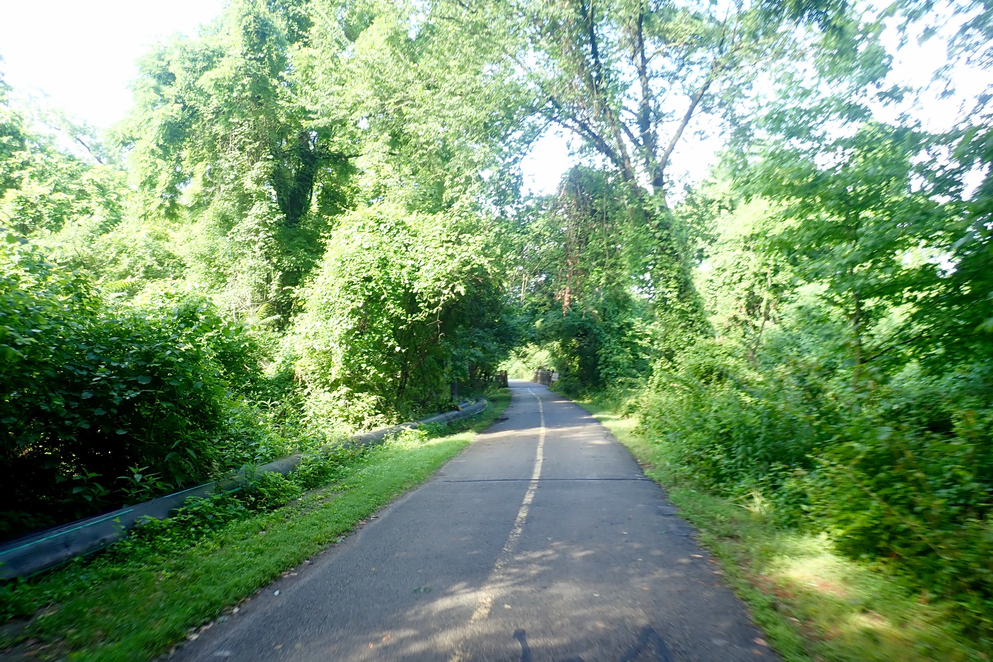
We were up and gone early. This trail honors Ulysses S Grant and passes by his farm and the Anheuser-Busch Clydesdale pastures. We started at the west end.
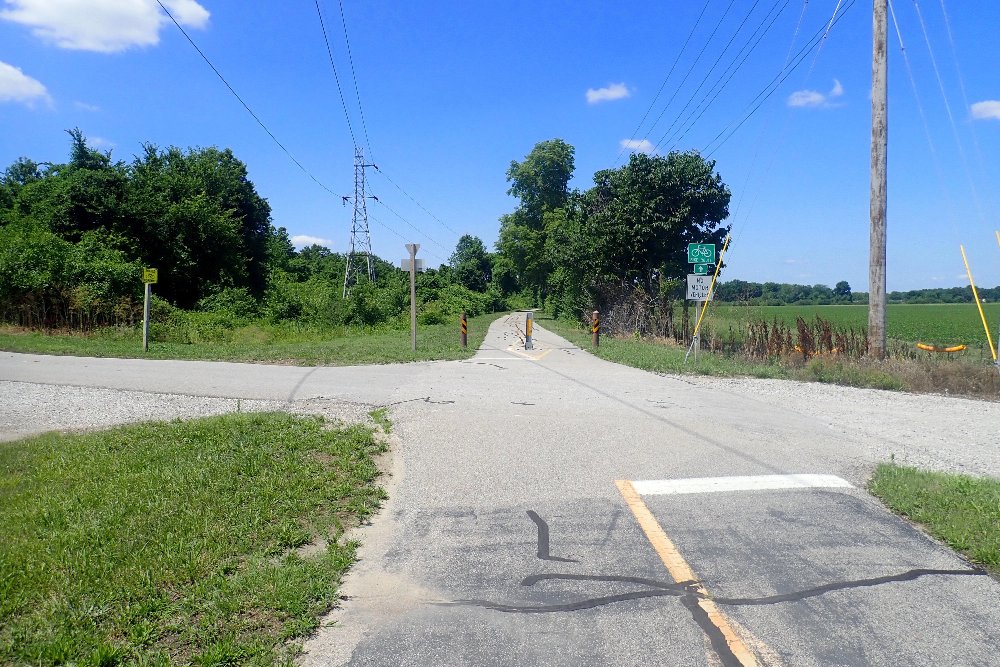
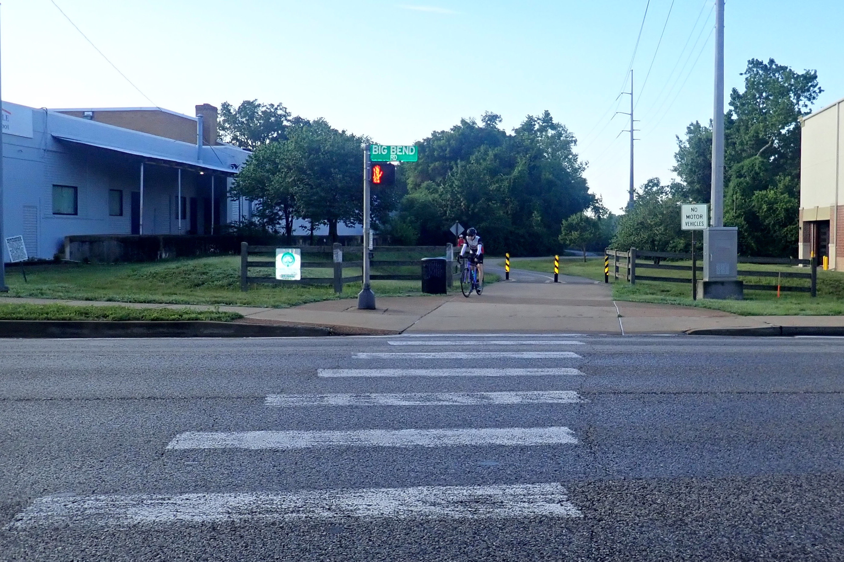
Quite a few street crossings but all were well-marked and had signals or stop signs.
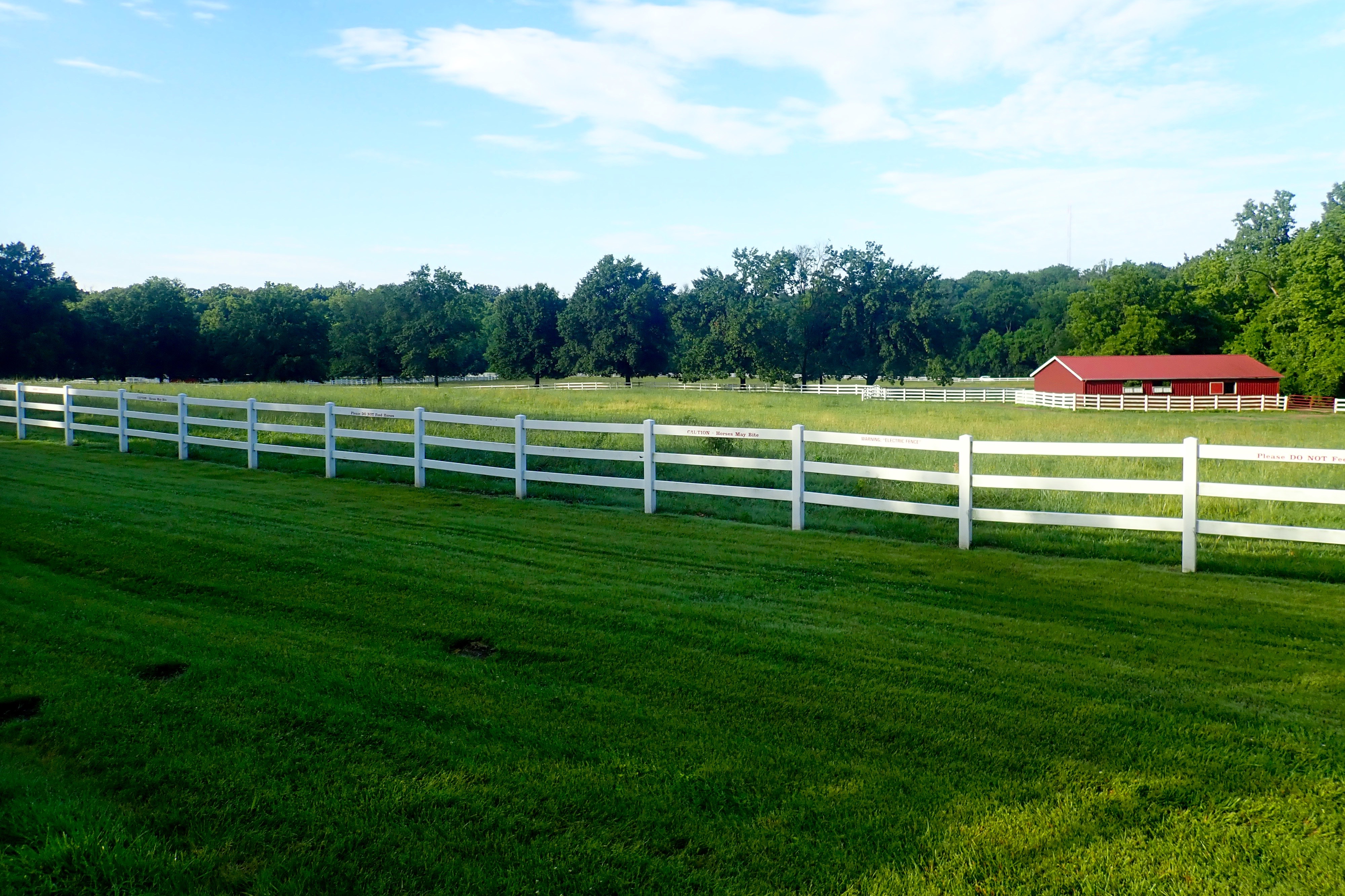
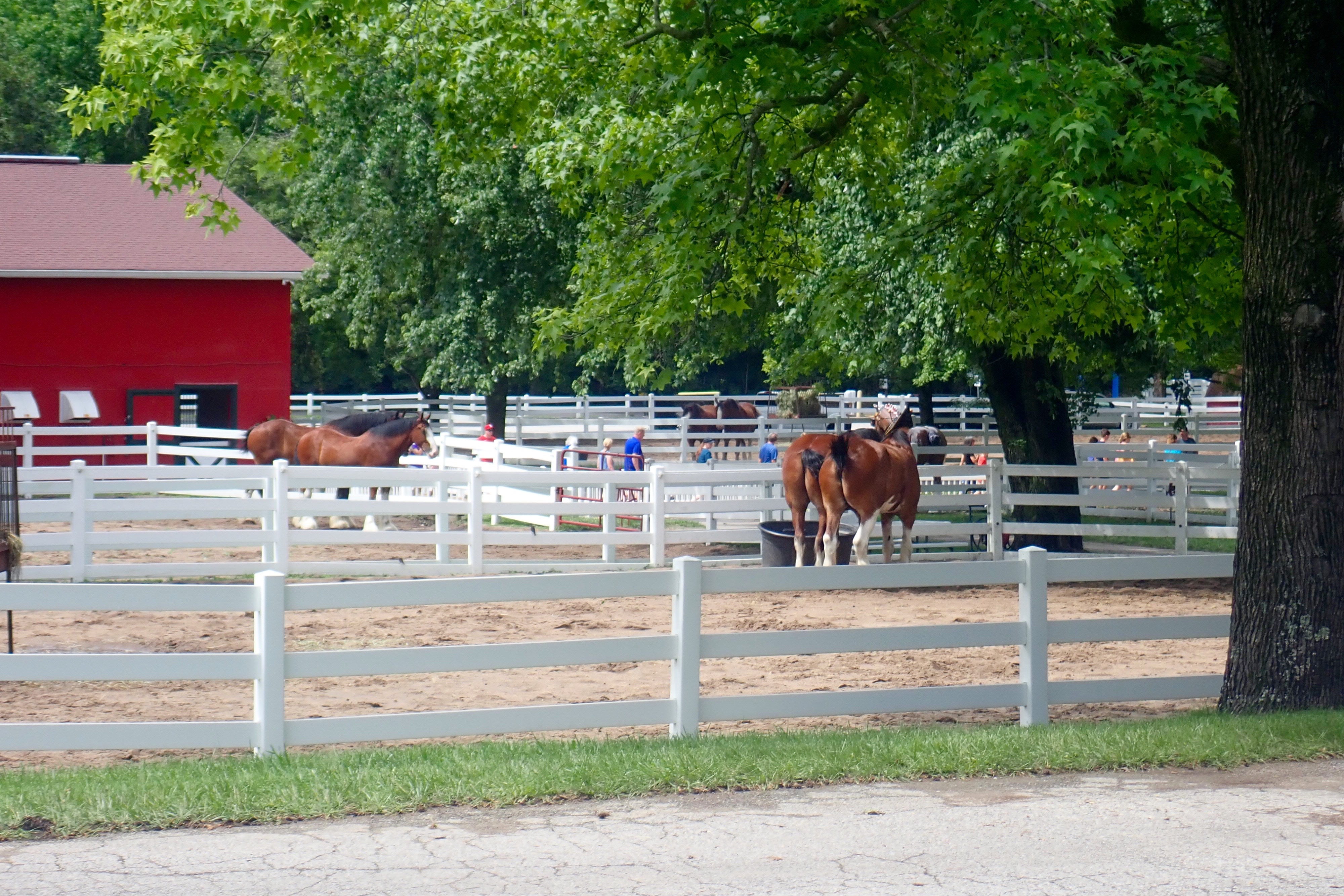
The Clydesdale pastures – I think they were still sleeping in the barn.
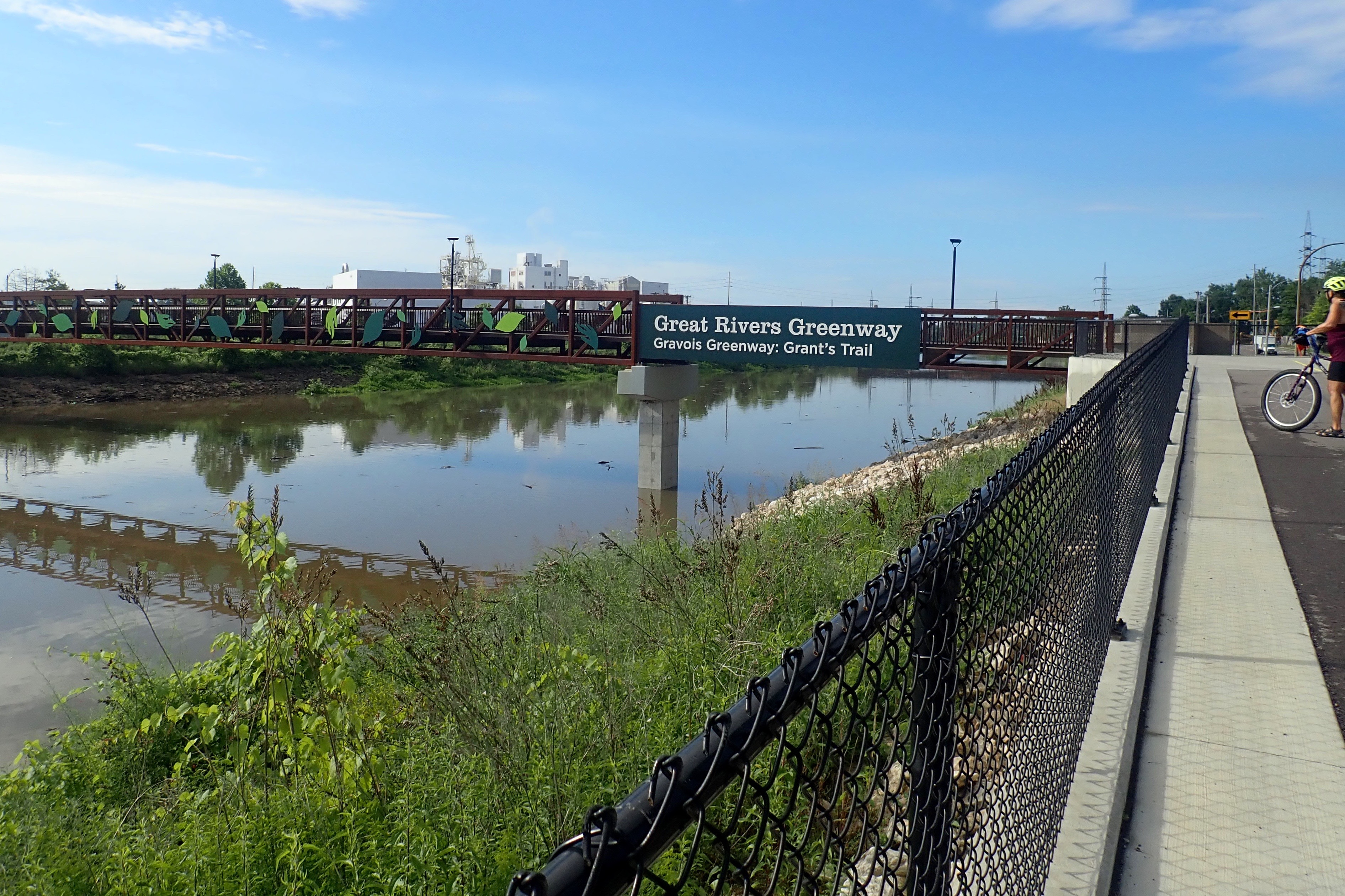
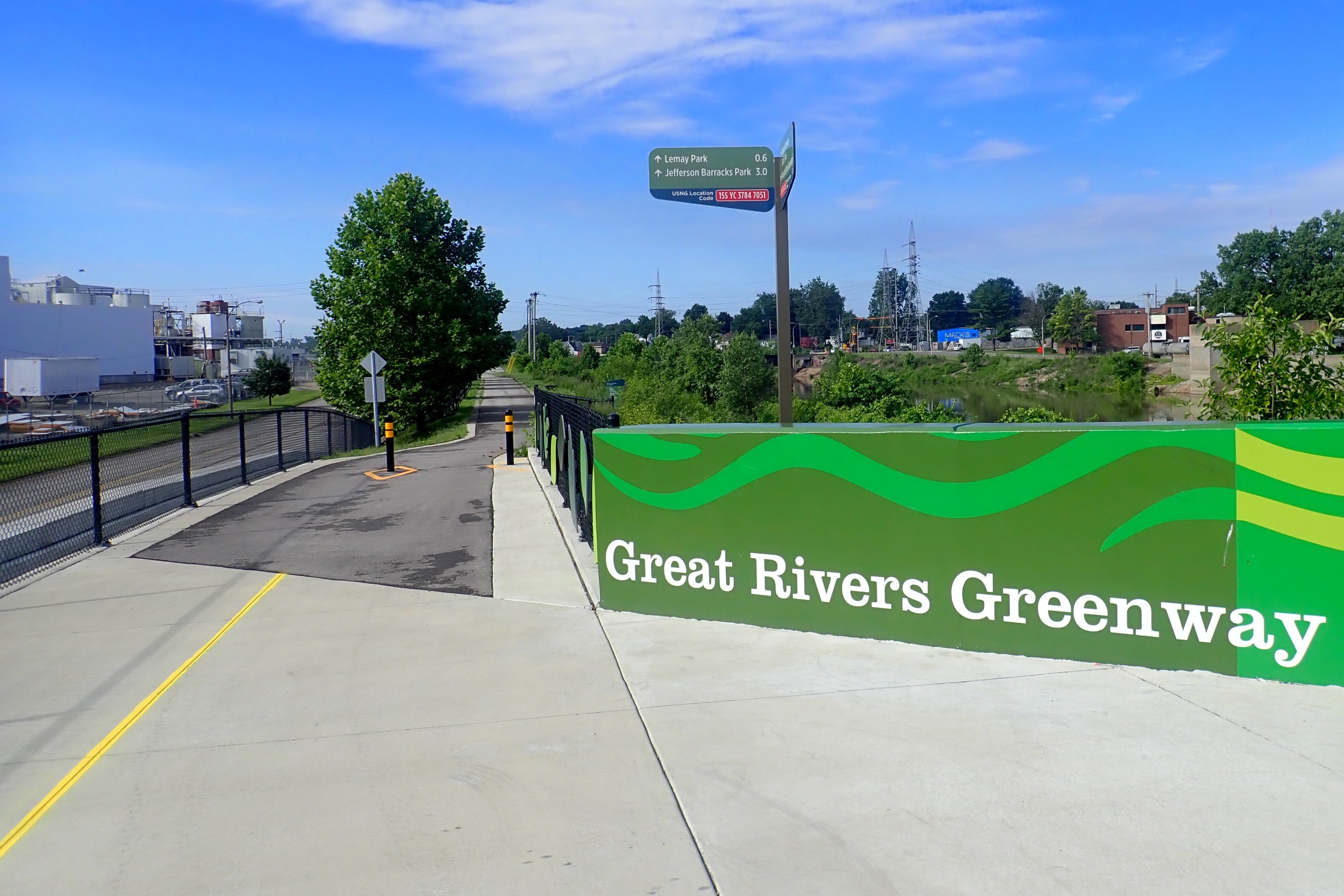
At the bridge, we crossed over the River Des Peres (a drainage channel into the Mississippi River) where Grant’s Trail ended but …
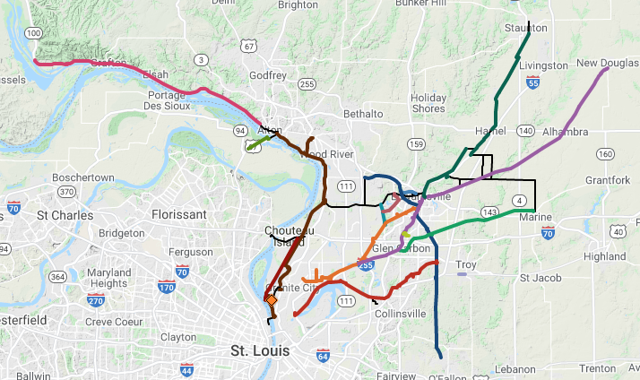
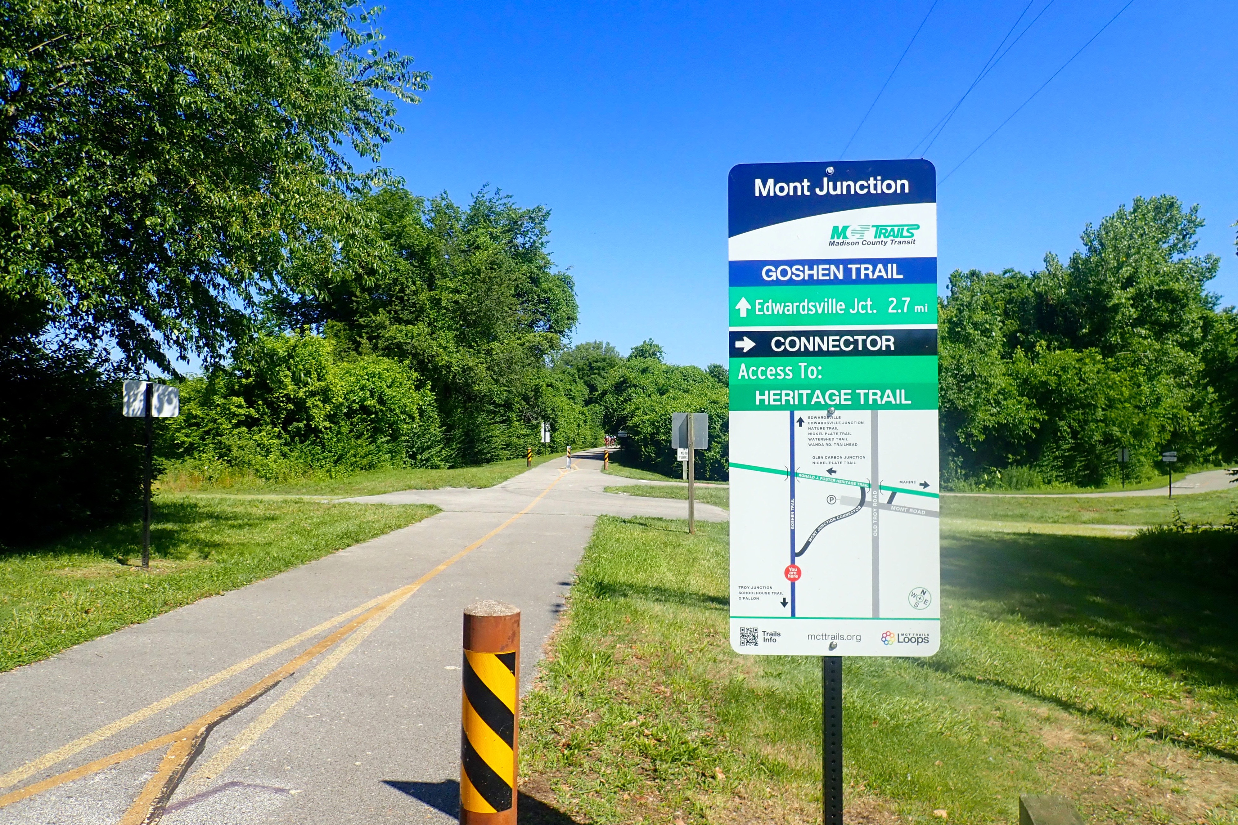
also intersected with another trail – the River Des Peres Greenway. The long-term goal is a 600-mile network of interconnected trails throughout the St Louis area. Great idea! This was our turn-around point.
Grant’s Farm was about 3 miles from the end of our ride. I decided I could ride 3 miles back to the car no matter how hot or humid it was, so we stopped here for about an hour and toured the house and grounds (next blog post). Across the road was Grant’s Farm – Home of the Budweiser Clydesdales. By the time we left, the parking lot was full and tour groups could be spotted. I stopped at the only window of opportunity to take this:
A very good ride. 20 miles round trip. Next stop: Starbucks.
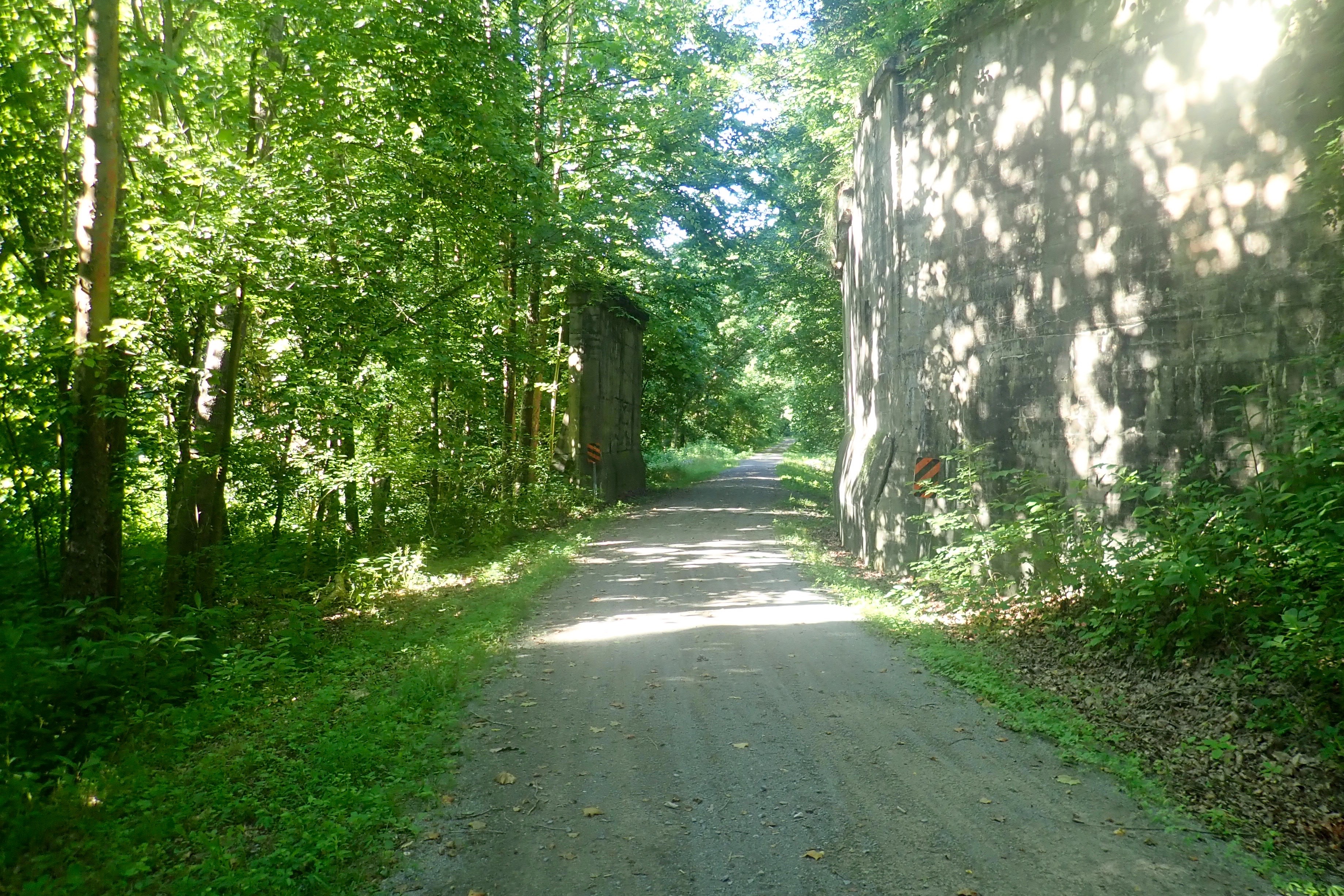
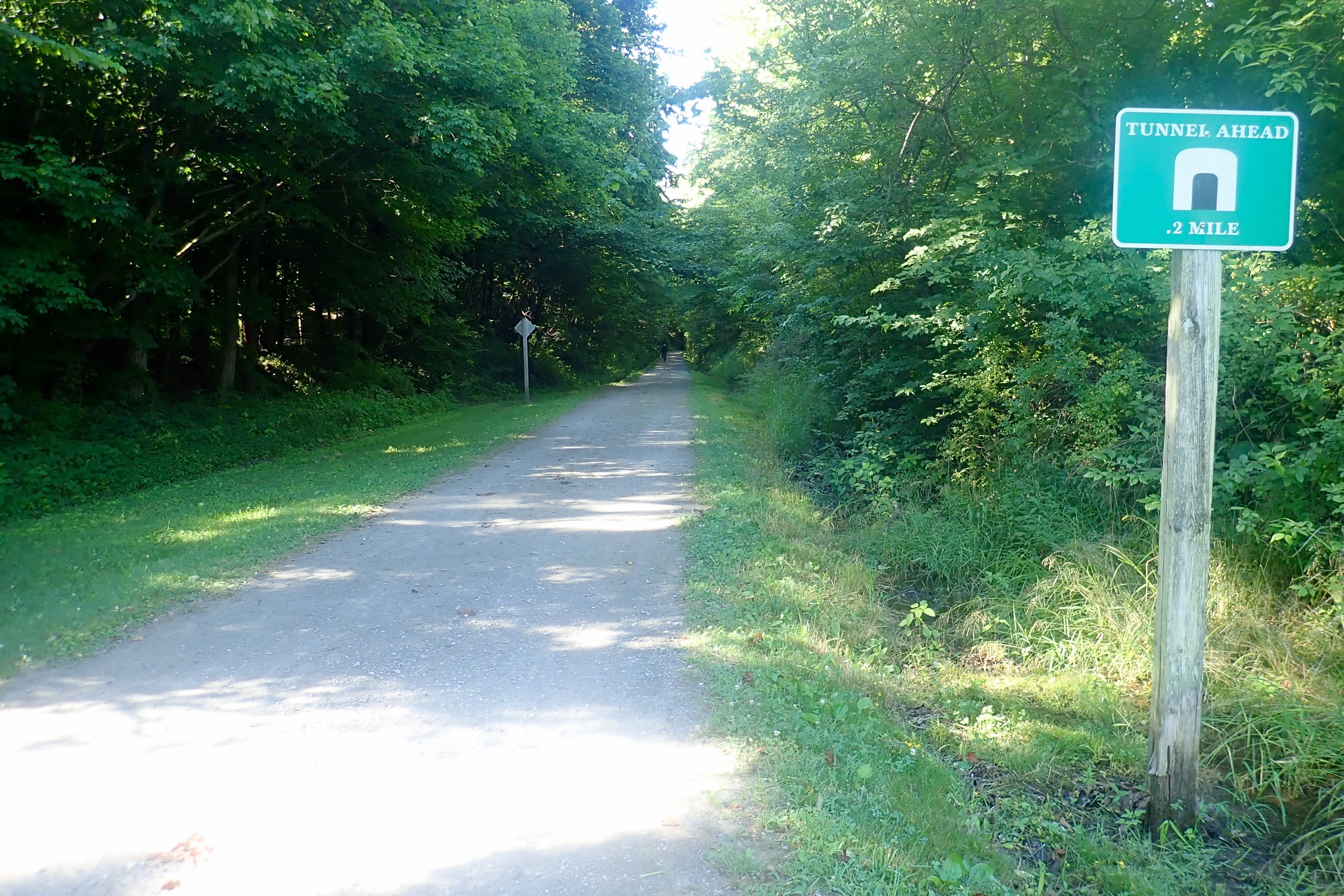
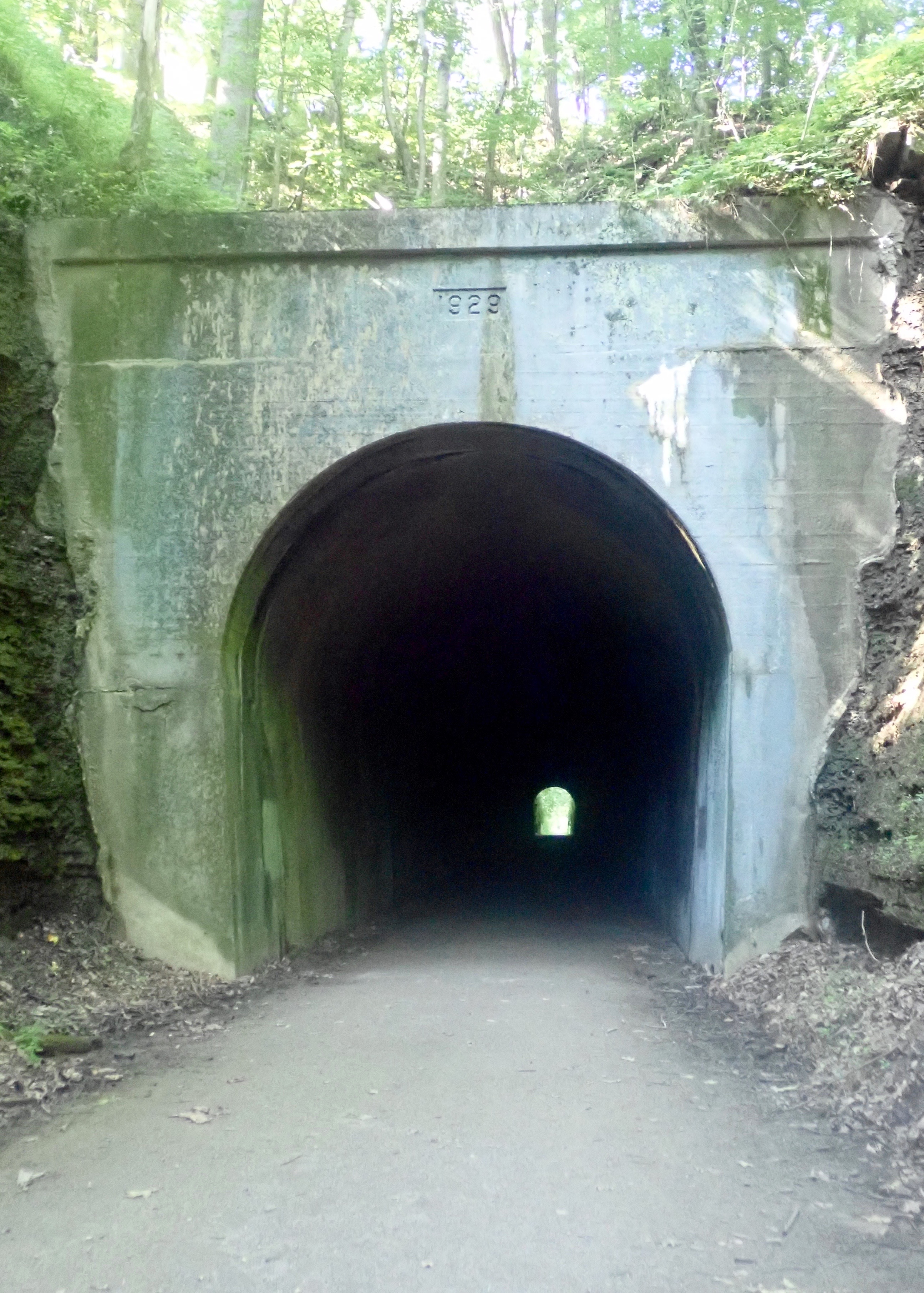
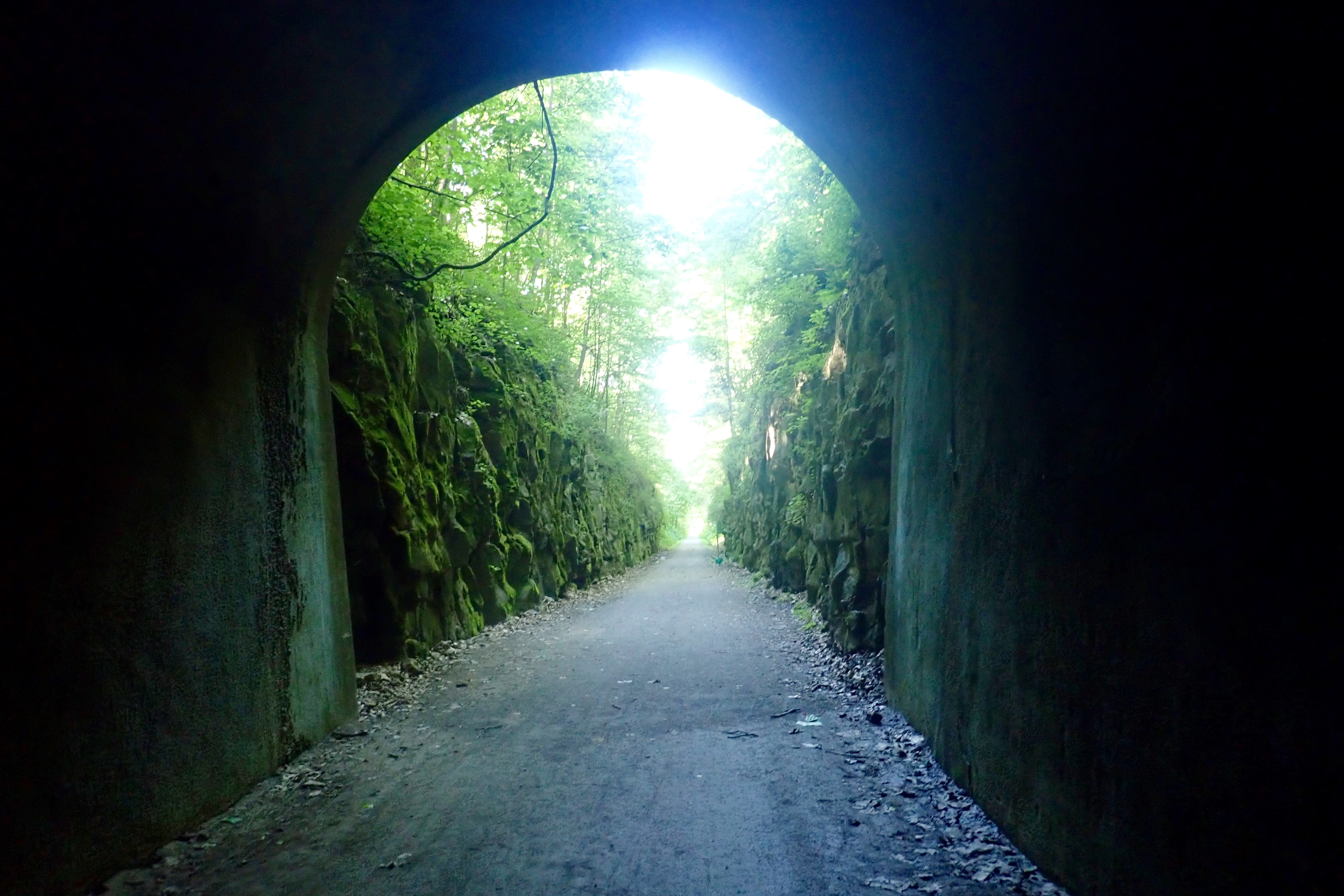
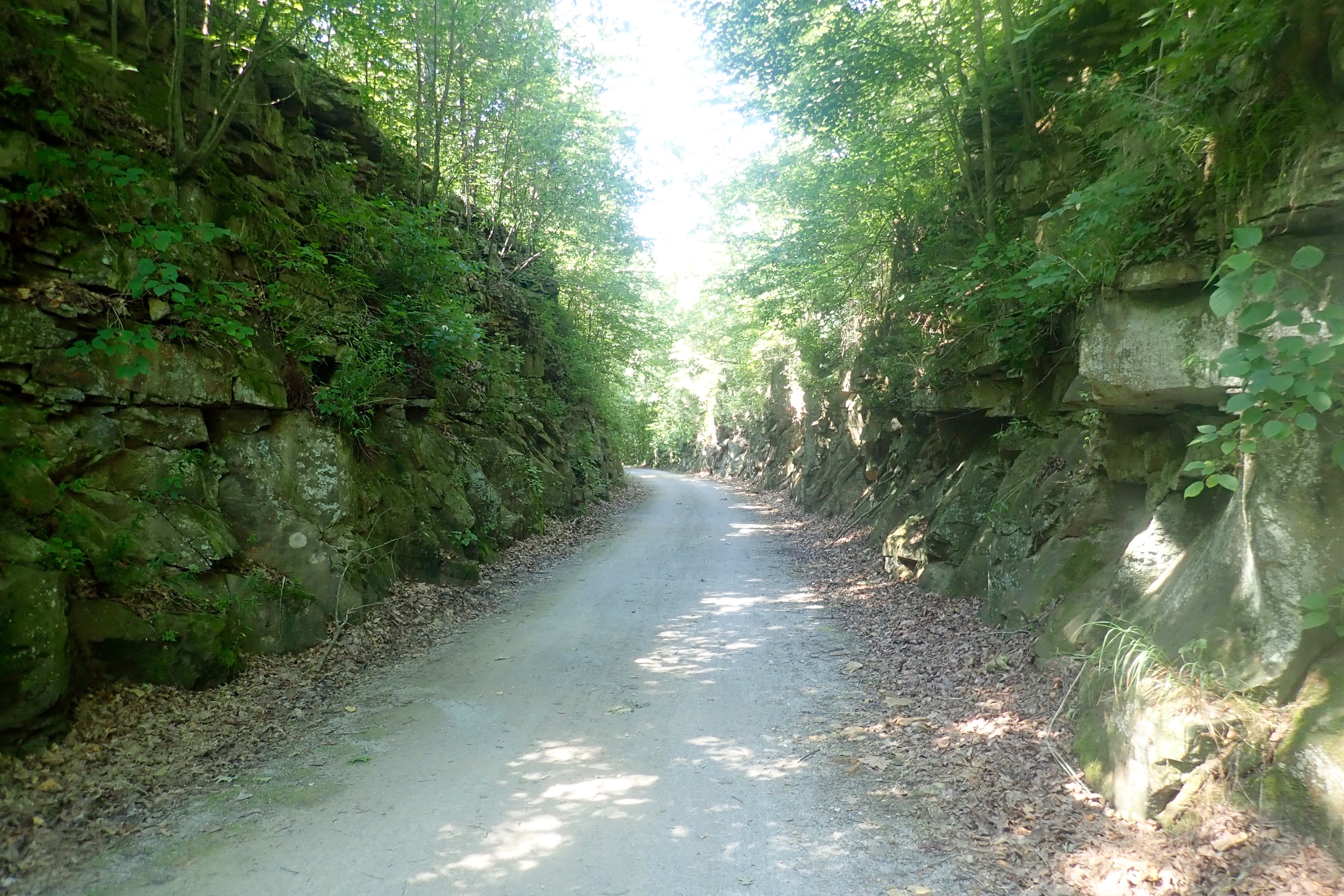
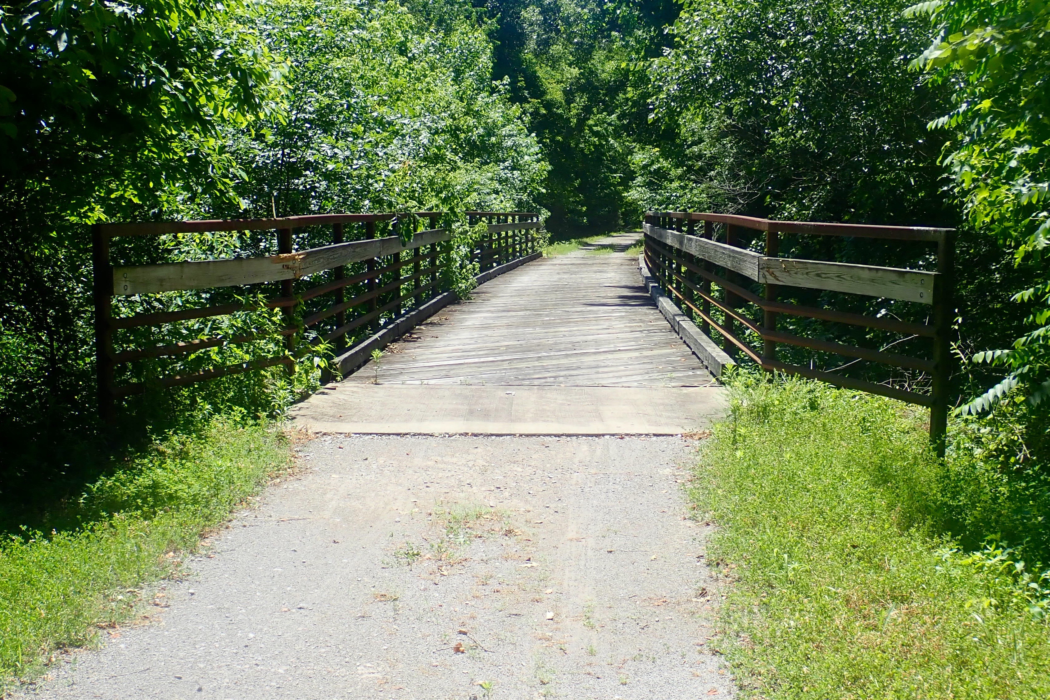
Get off your bike and use a flashlight. 543 feet over an uneven surface:
The Breeden Trestle, the longest on this 55-mile trail at 450 feet and 90 feet high:
The 160-mile River-to-River hiking trail crossed our trail here:
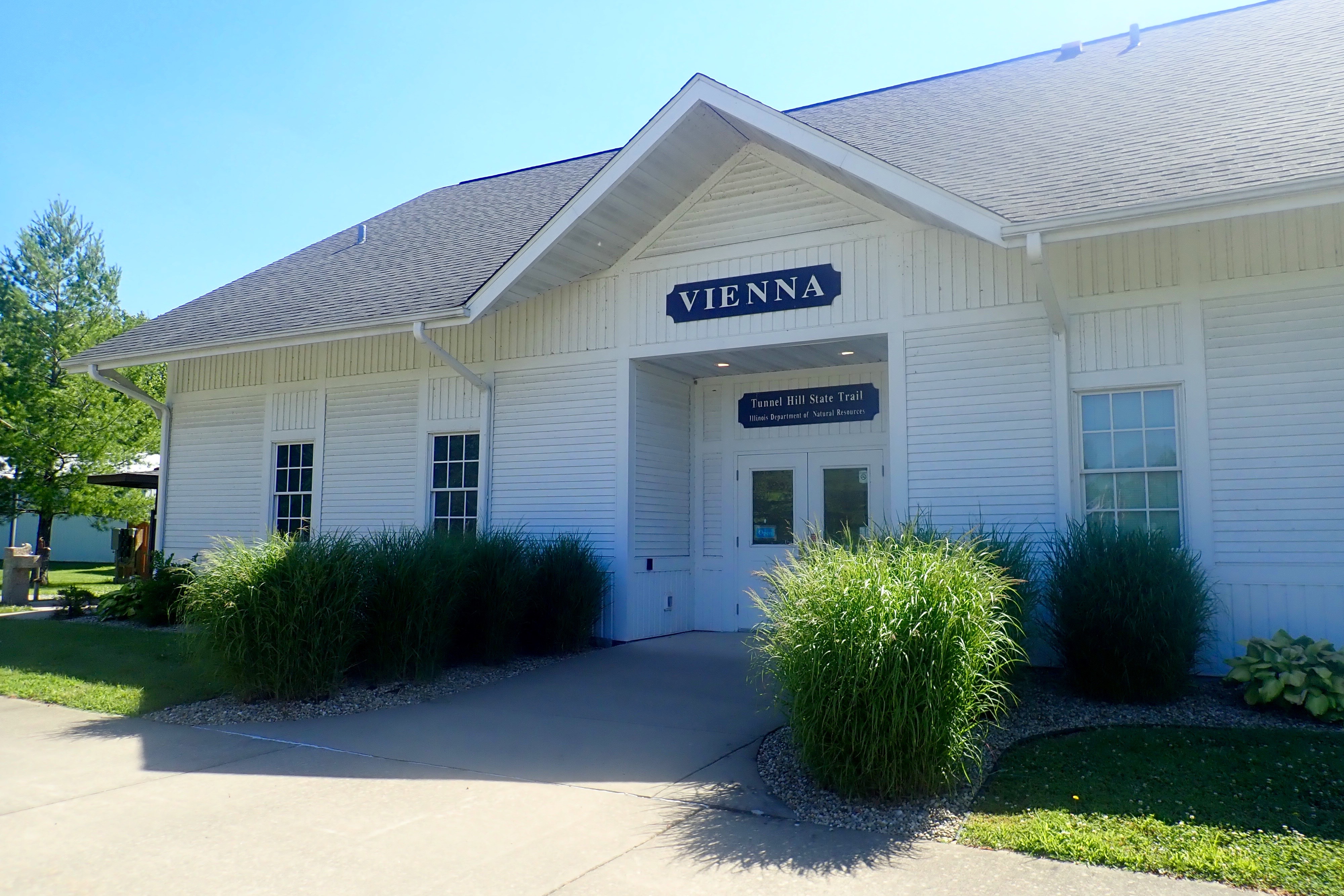
Our turn-around point was Vienna – beautiful trail stop and big park:
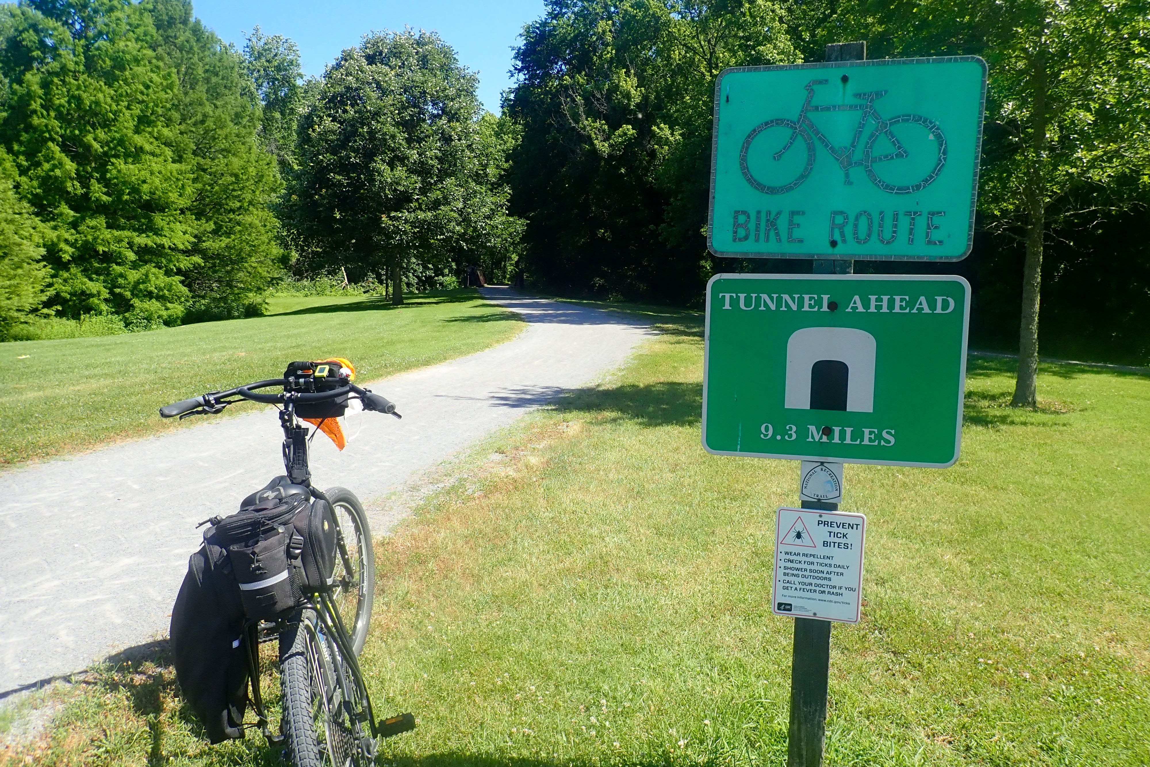
Now, after a snack, 9 miles back up the hill to the tunnel. LOL: Billie thought this trail was uphill in both directions. In fact, she said she thinks this is true a lot.
Sugar Creek along part of the trail:
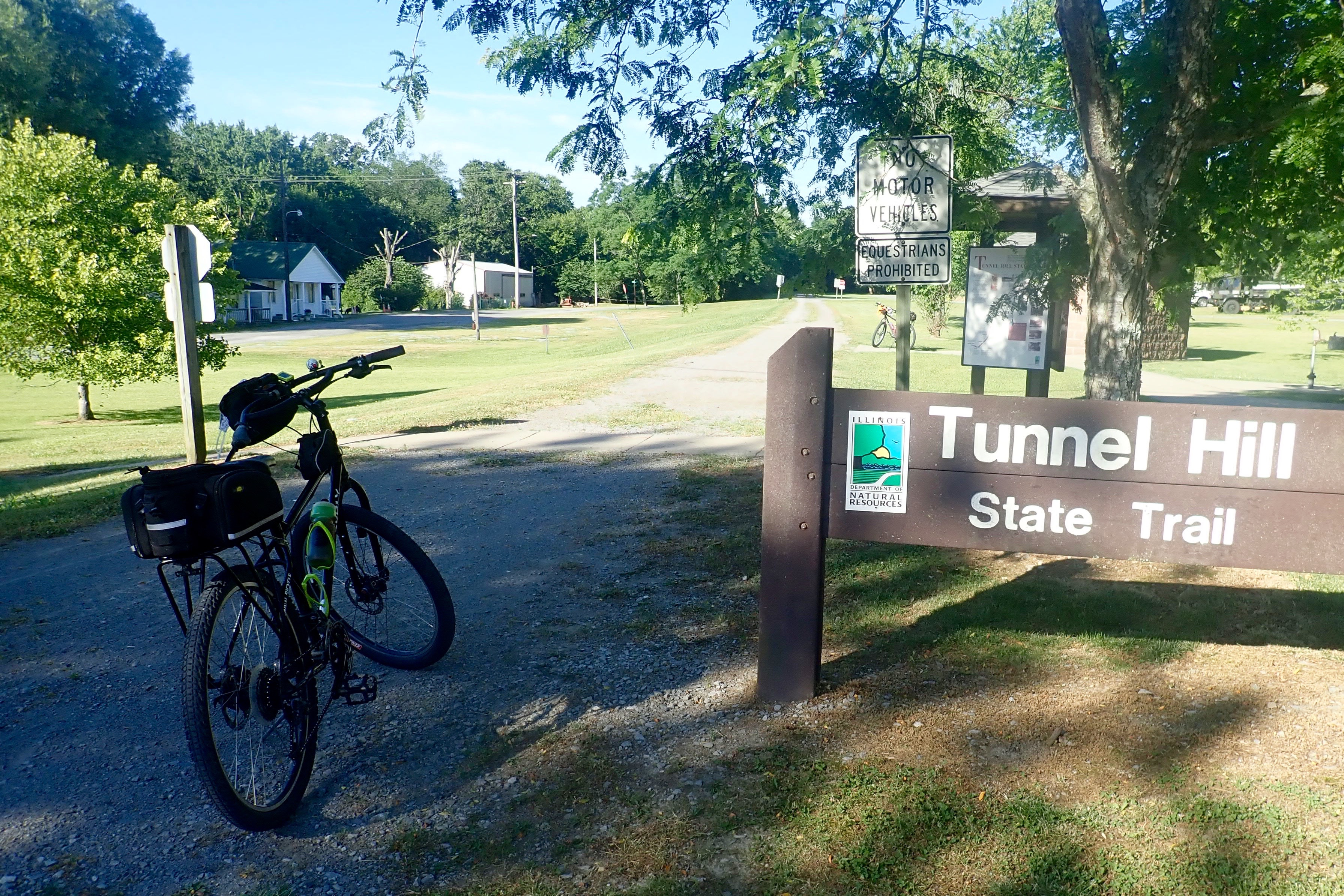
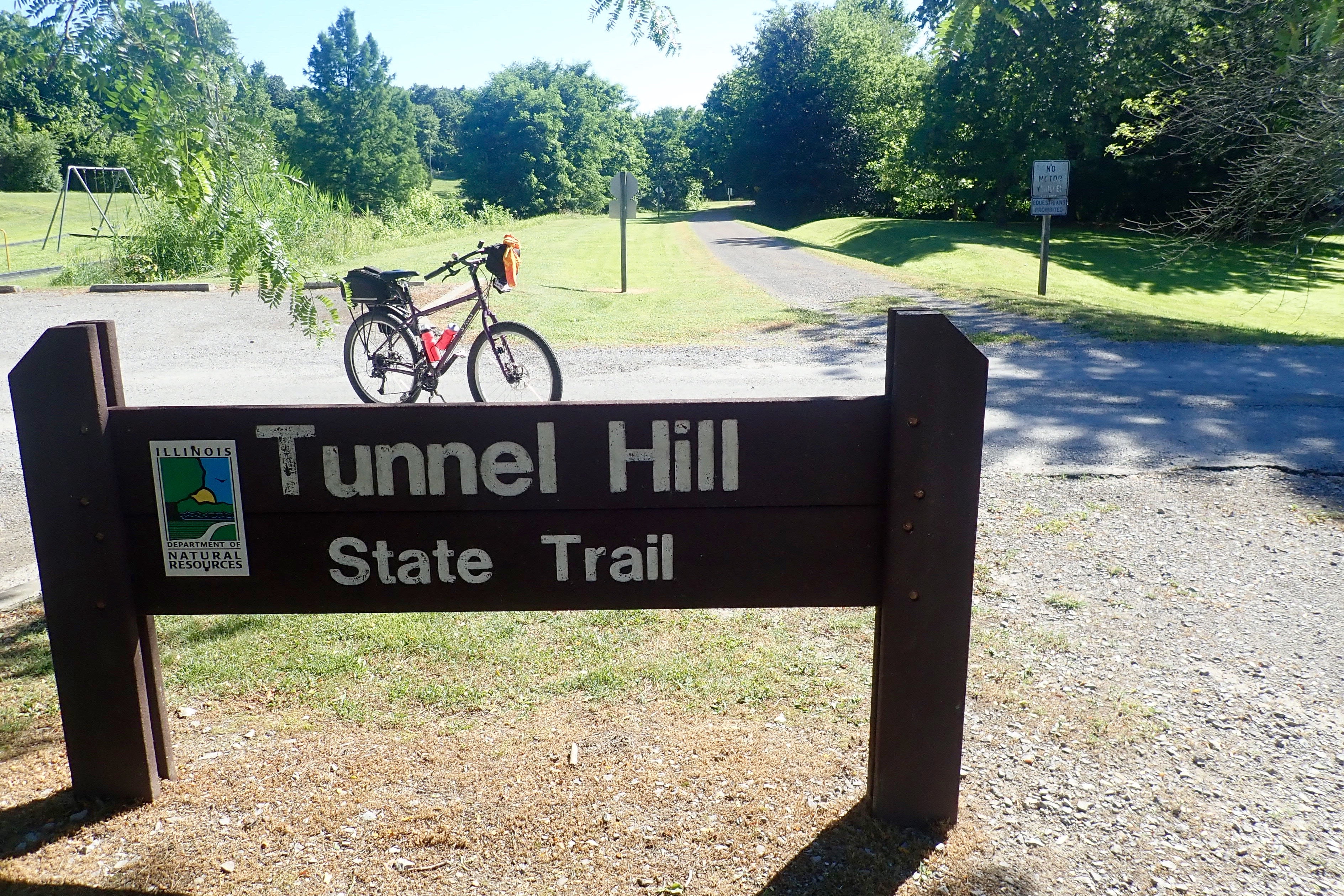
Our first non-paved trail. I loved it. 32 glorious miles.
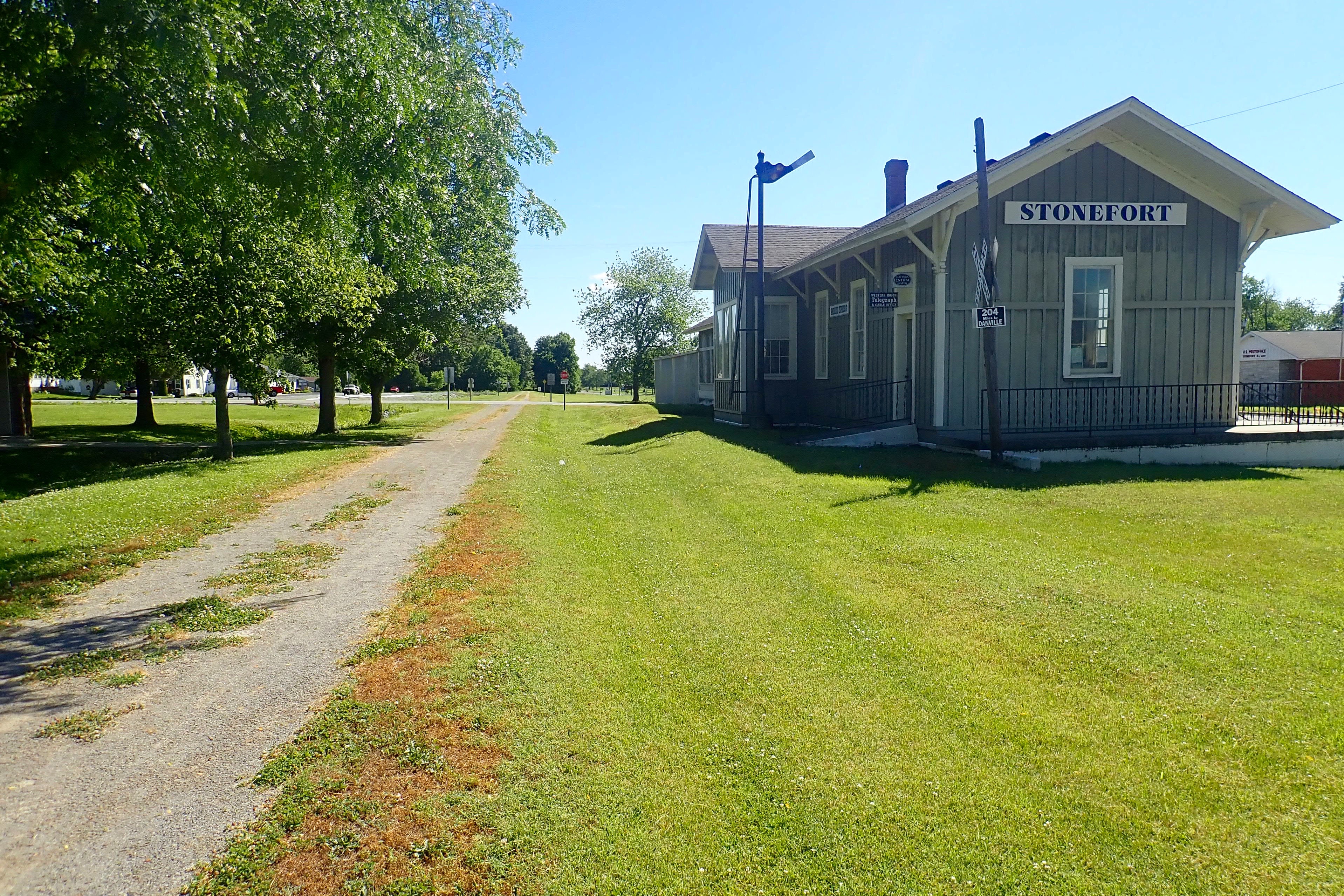
We drove 20 miles to New Burnside, a very small community of 250 people.
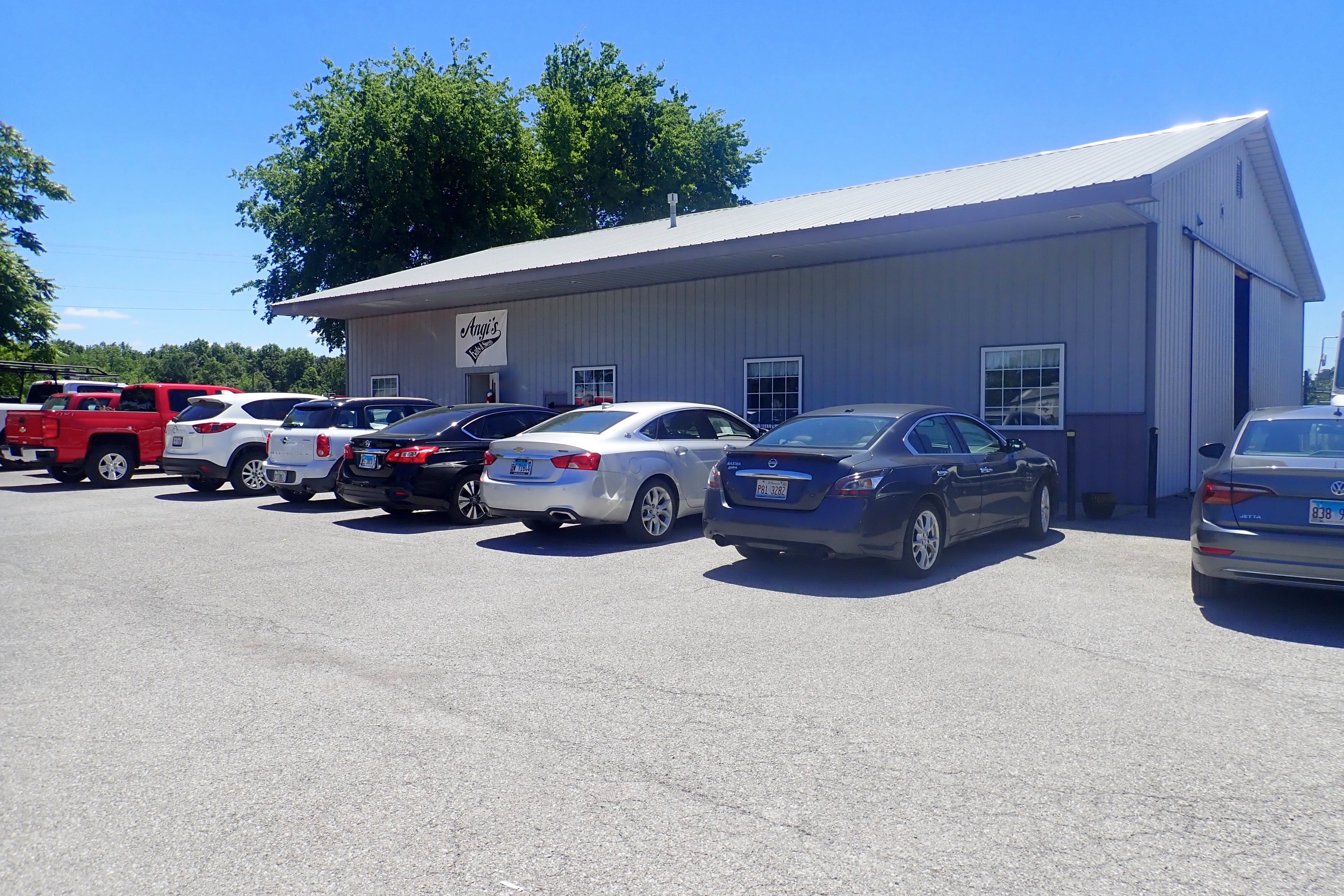
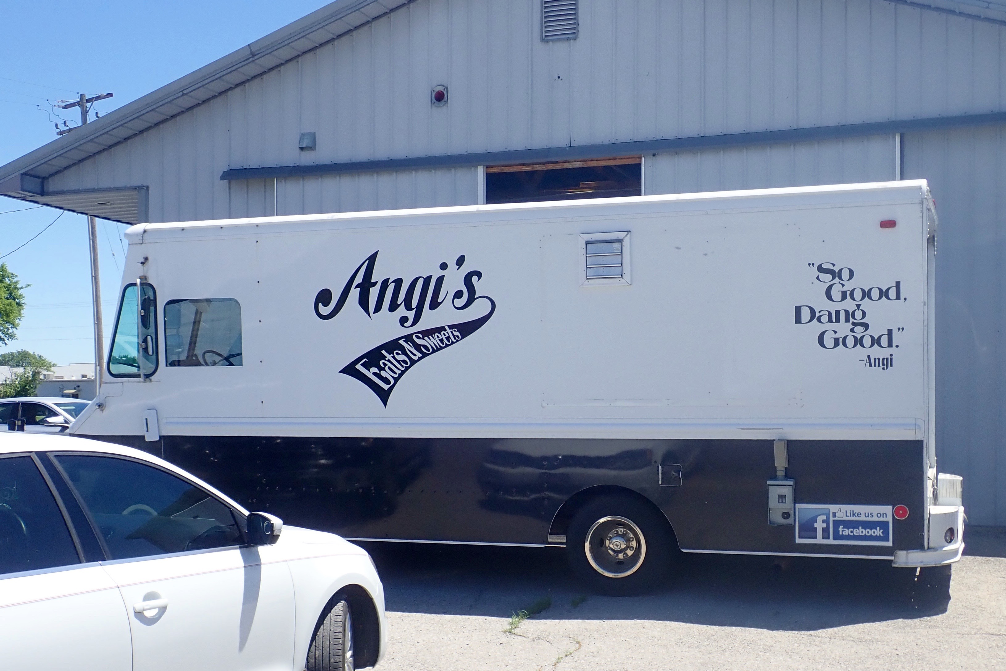
We rode to Harrisburg and had lunch at Angi’s Eats and Sweets.
Great food which seems to have evolved from a food truck. Inside the building was the kitchen, tables to sit at, a bench with MANY to-go orders ready for pick-up, and a friendly person to take our order. If you’re in Harrisburg, be sure to eat here.
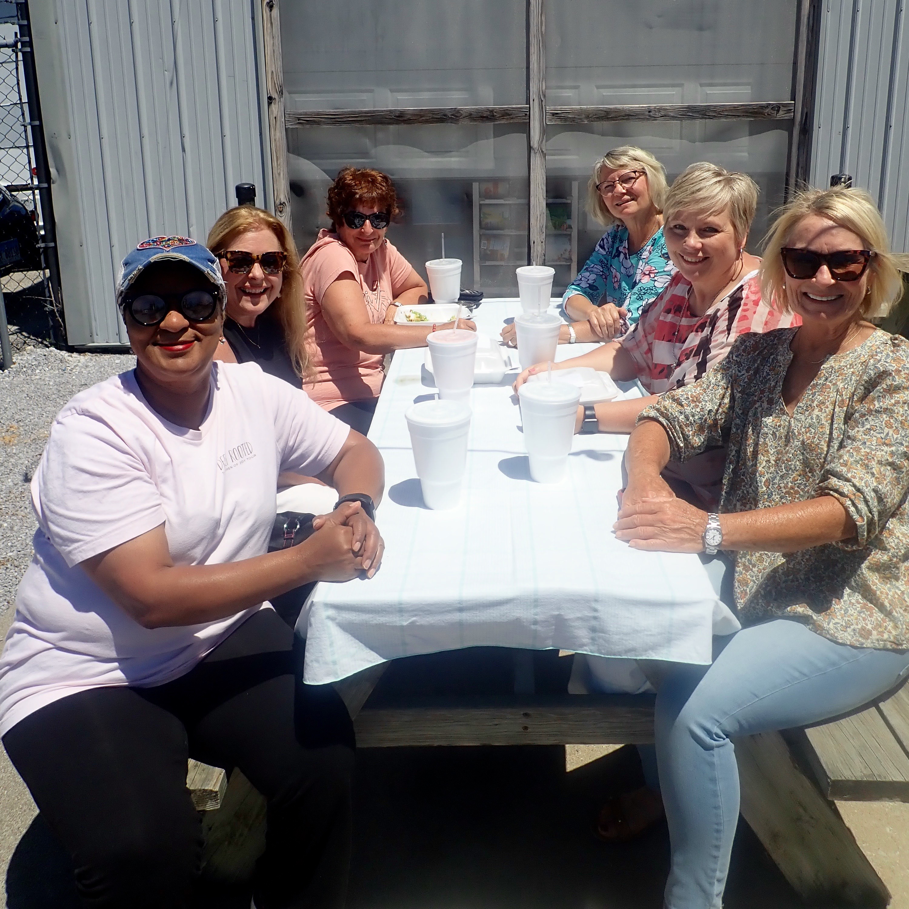
As I was waiting in front of the building with our bikes while Billie checked out the best place to eat, where to order, etc, a lady drove up, parked and got out of her car. I asked, “Good food inside?” And our conversation began – what a delightful friendly person – Jacqueline! We decided to eat at the back of the building where there were tables and our bikes could be nearby. There was Jacqueline again – having lunch with some friends – we had a wonderful short visit.
Jacqueline, far left
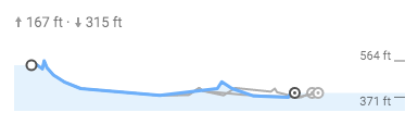
Time to ride back … in the next picture, that would be riding from right to left … uphill.
The city of Harrisburg maintains a paved trail within the city limits:
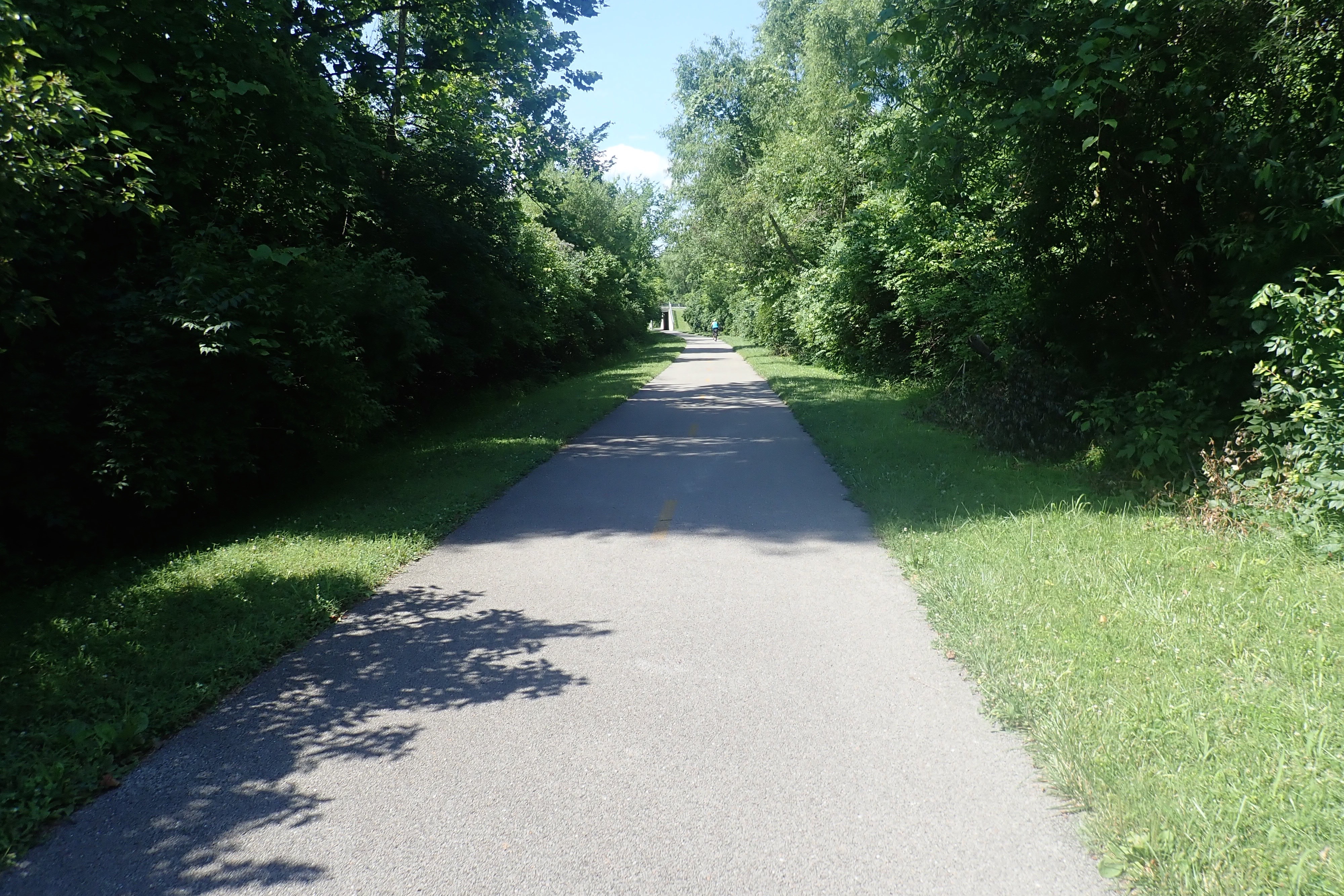
35 miles! Excellent cool weather and a very shaded trail. Good day.
The weather cooled a bit, we were able to turn off the AC overnight and open the windows. We were up early and started our ride at 6:45!
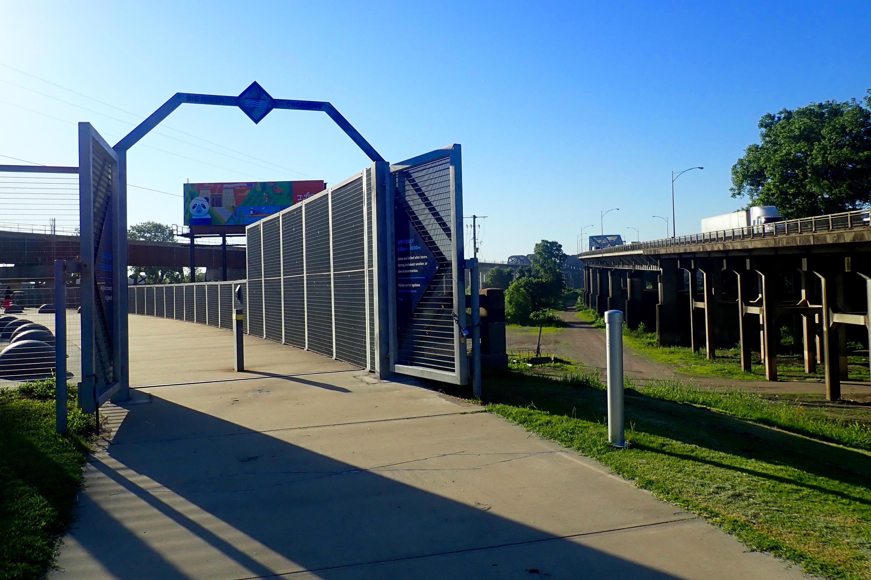
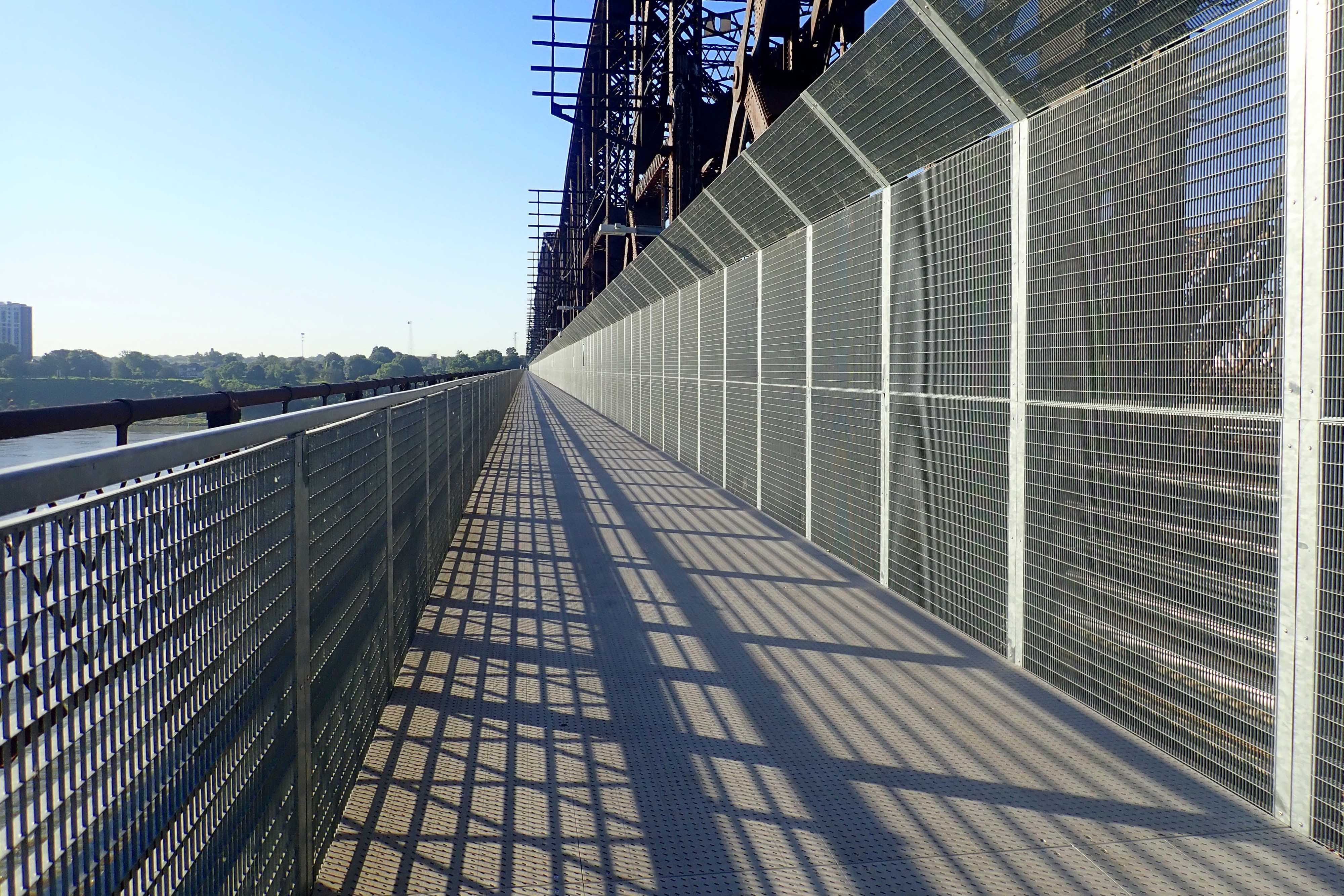
Destination: a place we have been unable to access in several days because crossing the I-55 bridge in a vehicle could take a couple of hours. BUT on a bicycle, it was just a 10-mile bike ride, and crossing the Mississippi River on a bridge that spans 4973 feet is rather spectacular.
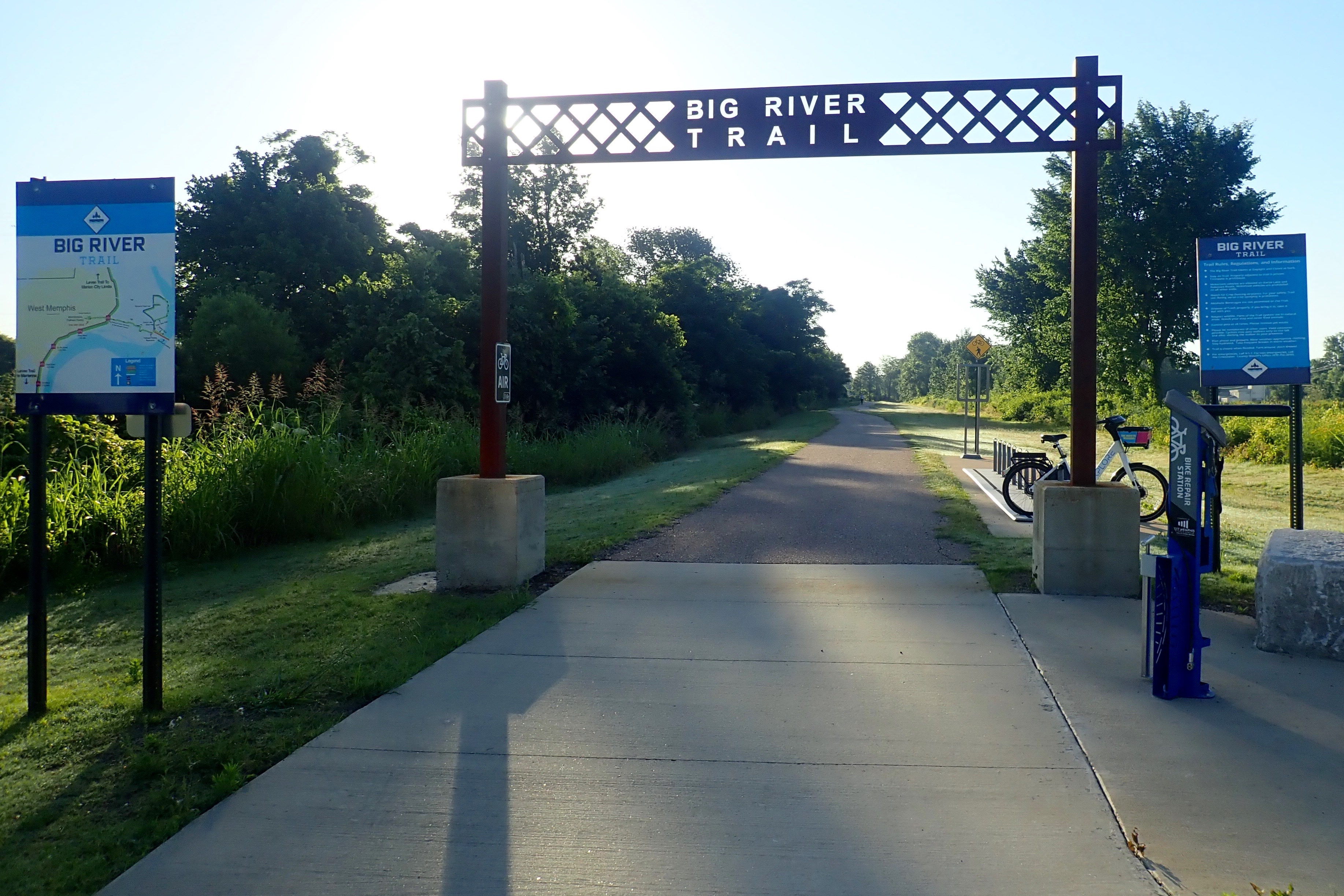
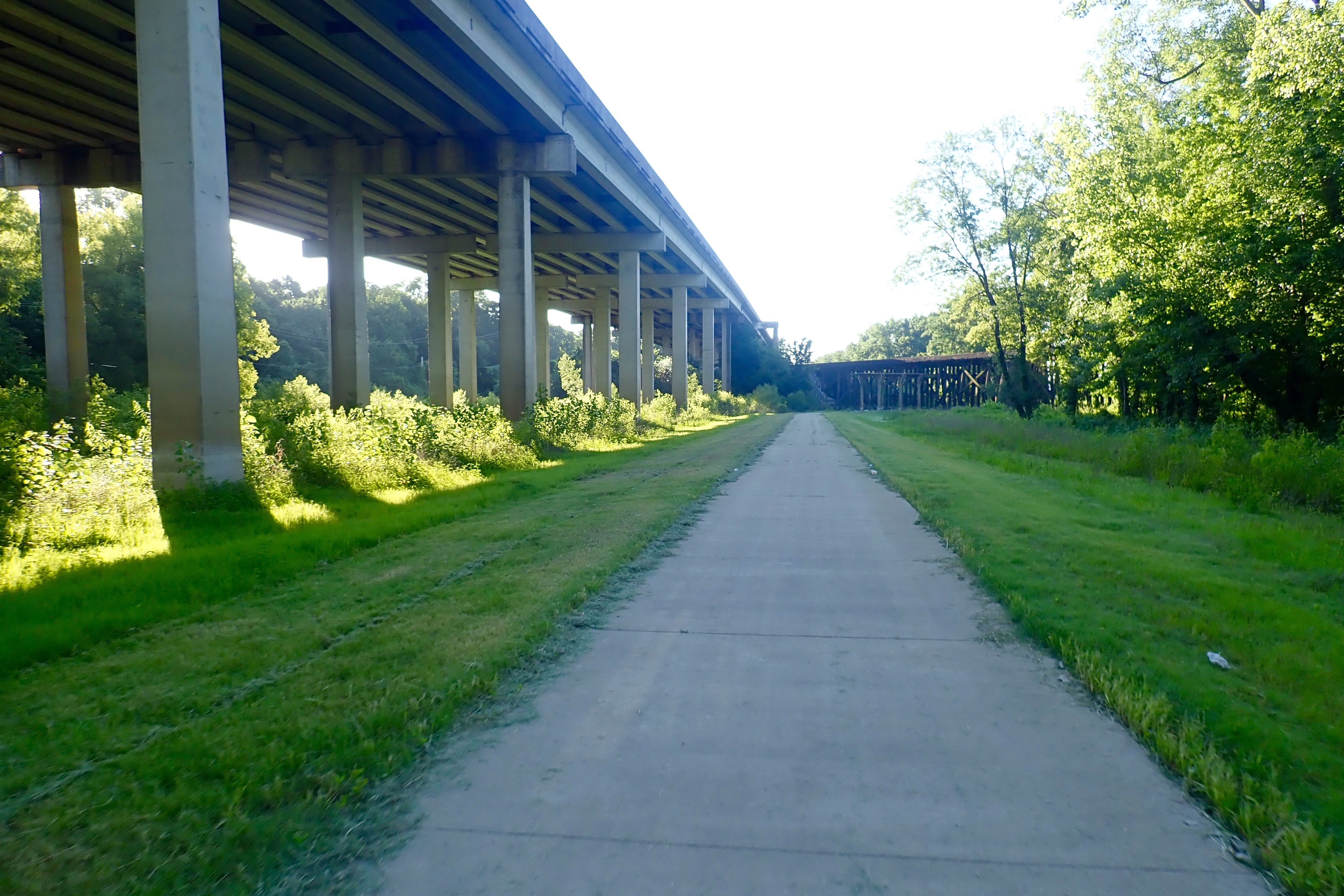
We rode 3 miles from our campsite on S Loop Rd to the start of the trail:
We crossed under I-55 a couple of times as it climbed toward the river.
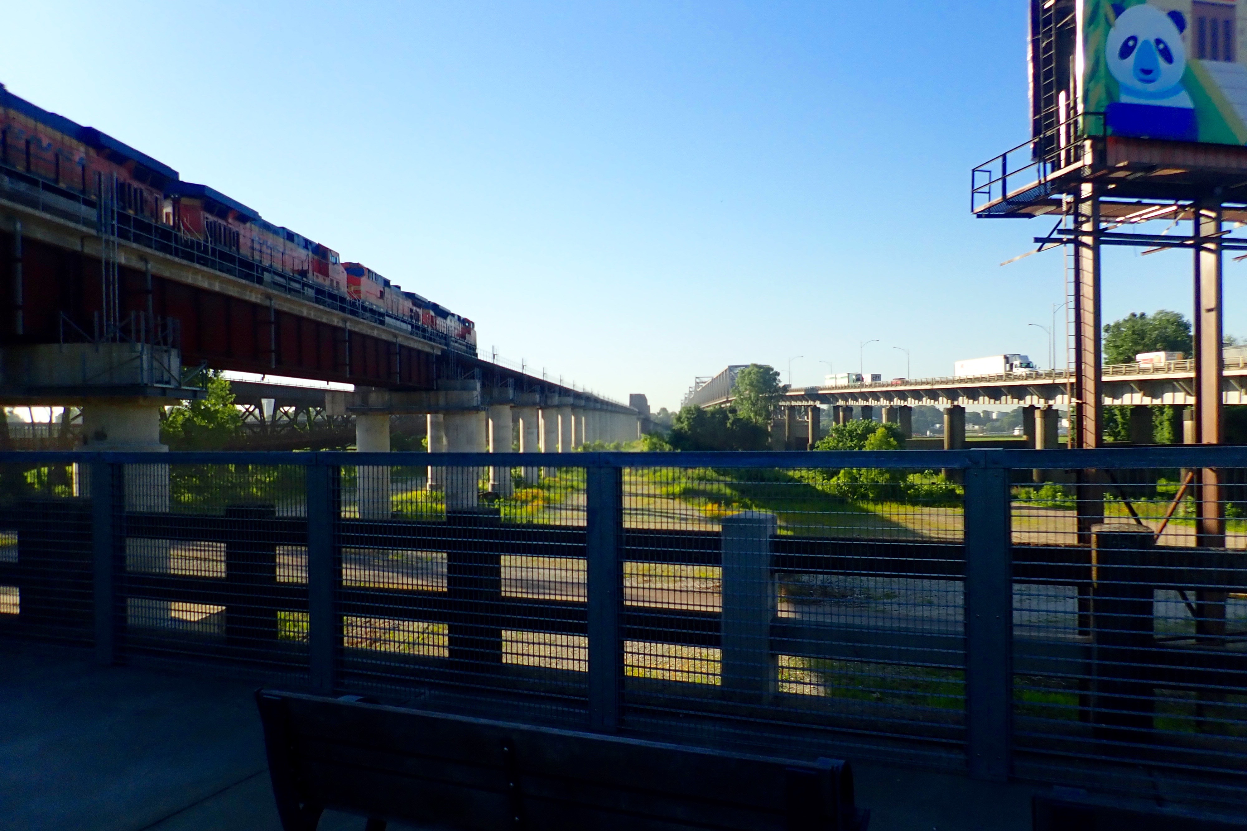
At the top of our short climb there was a park between I-55 and the train tracks:
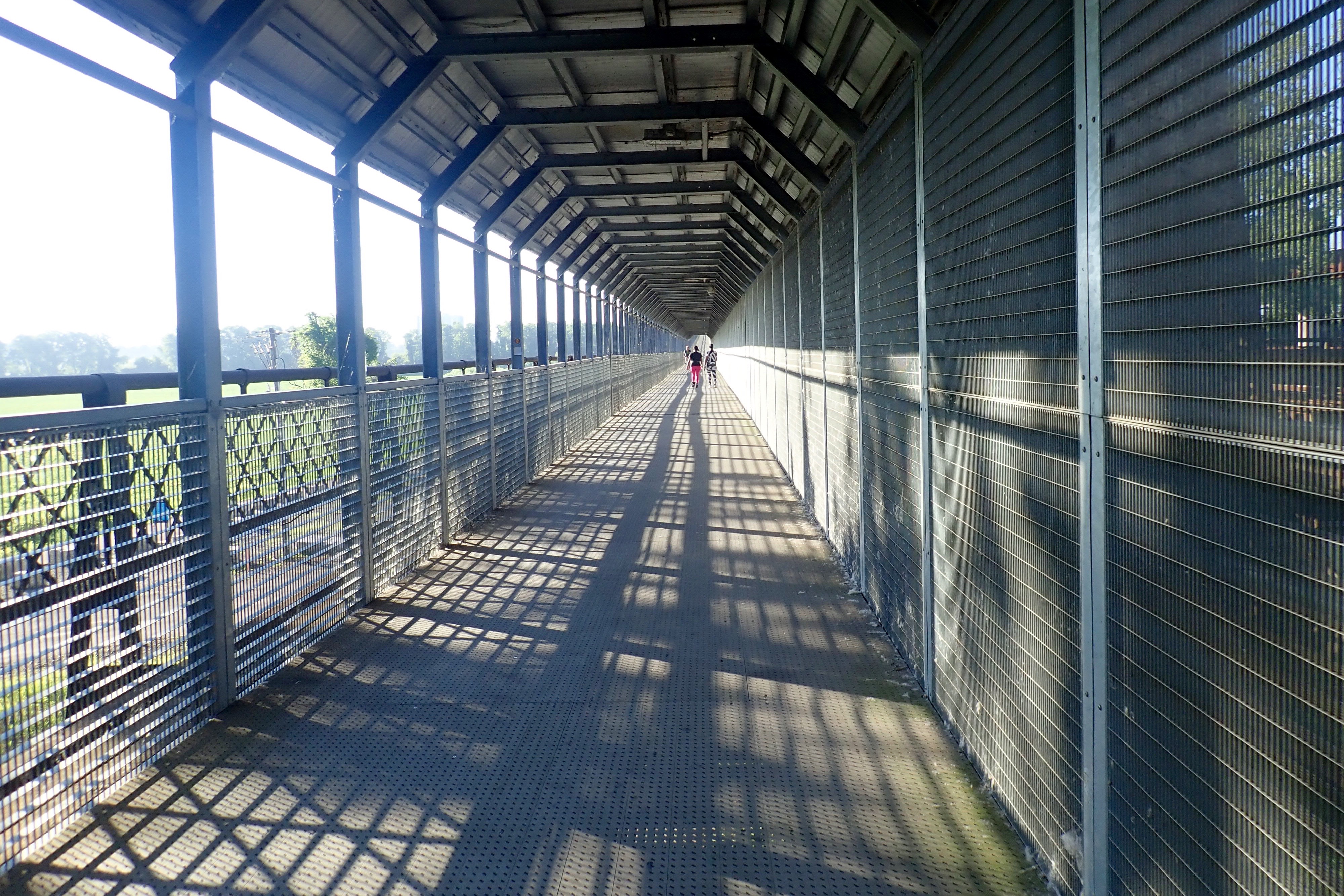
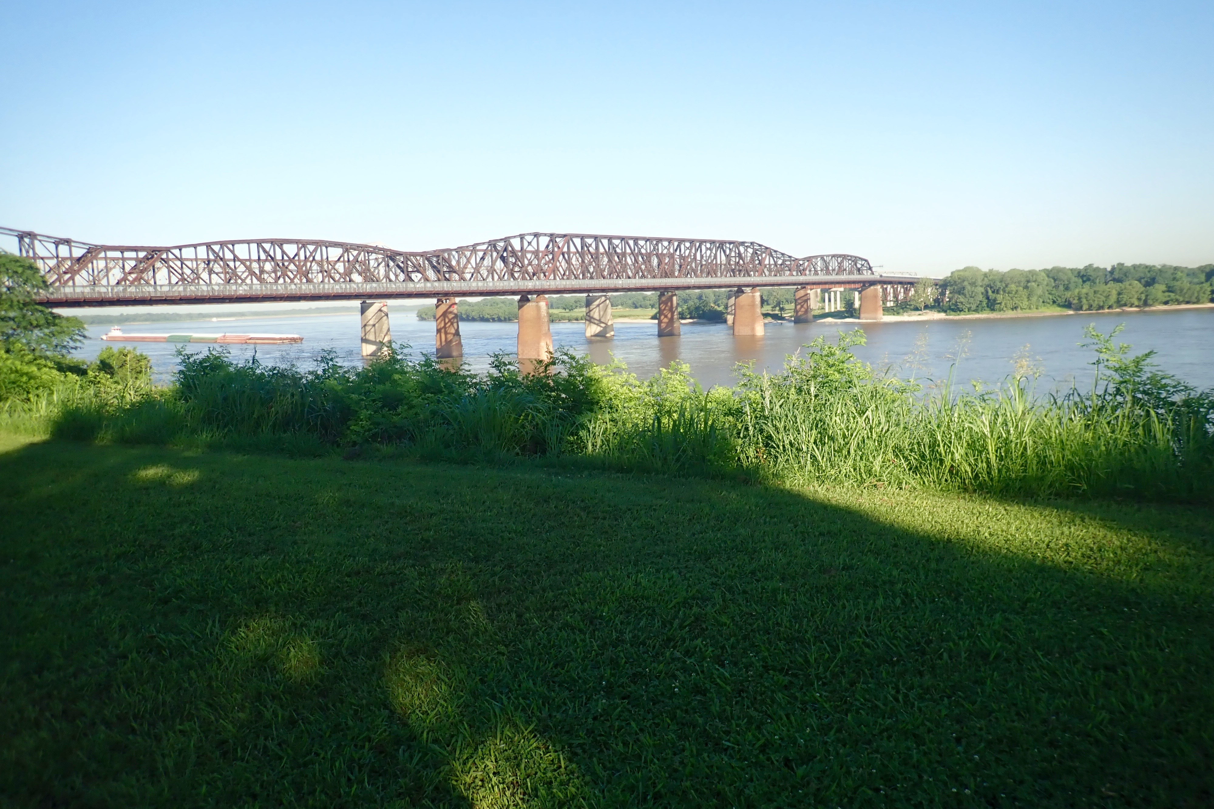
The bridge we took is farthest to the left of the 3 bridges:
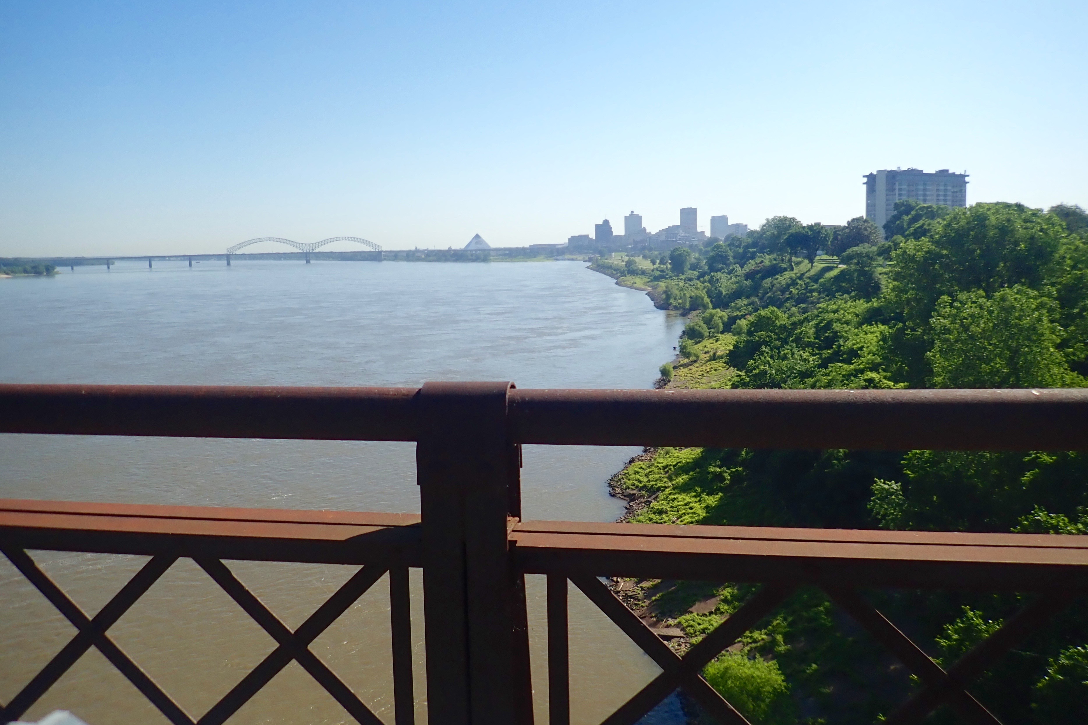
A look back at the bridge we’d just crossed:
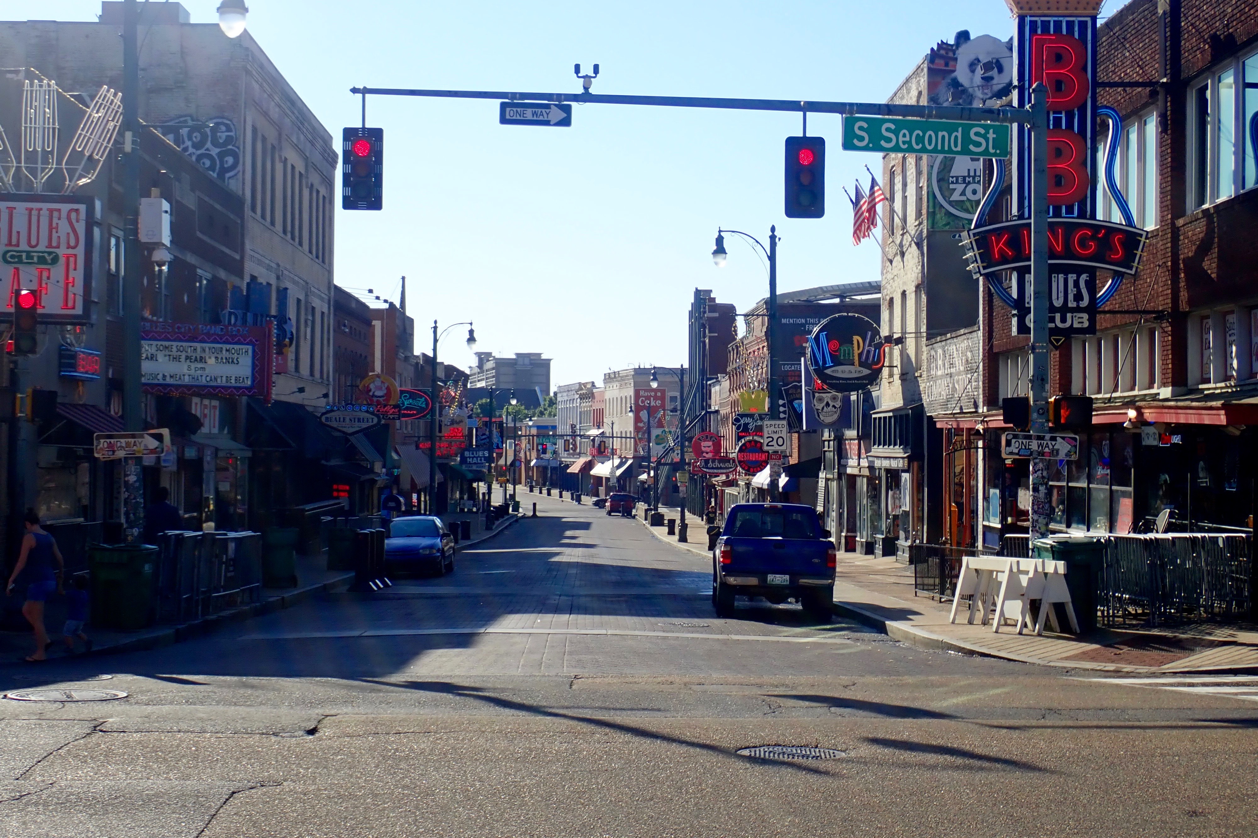
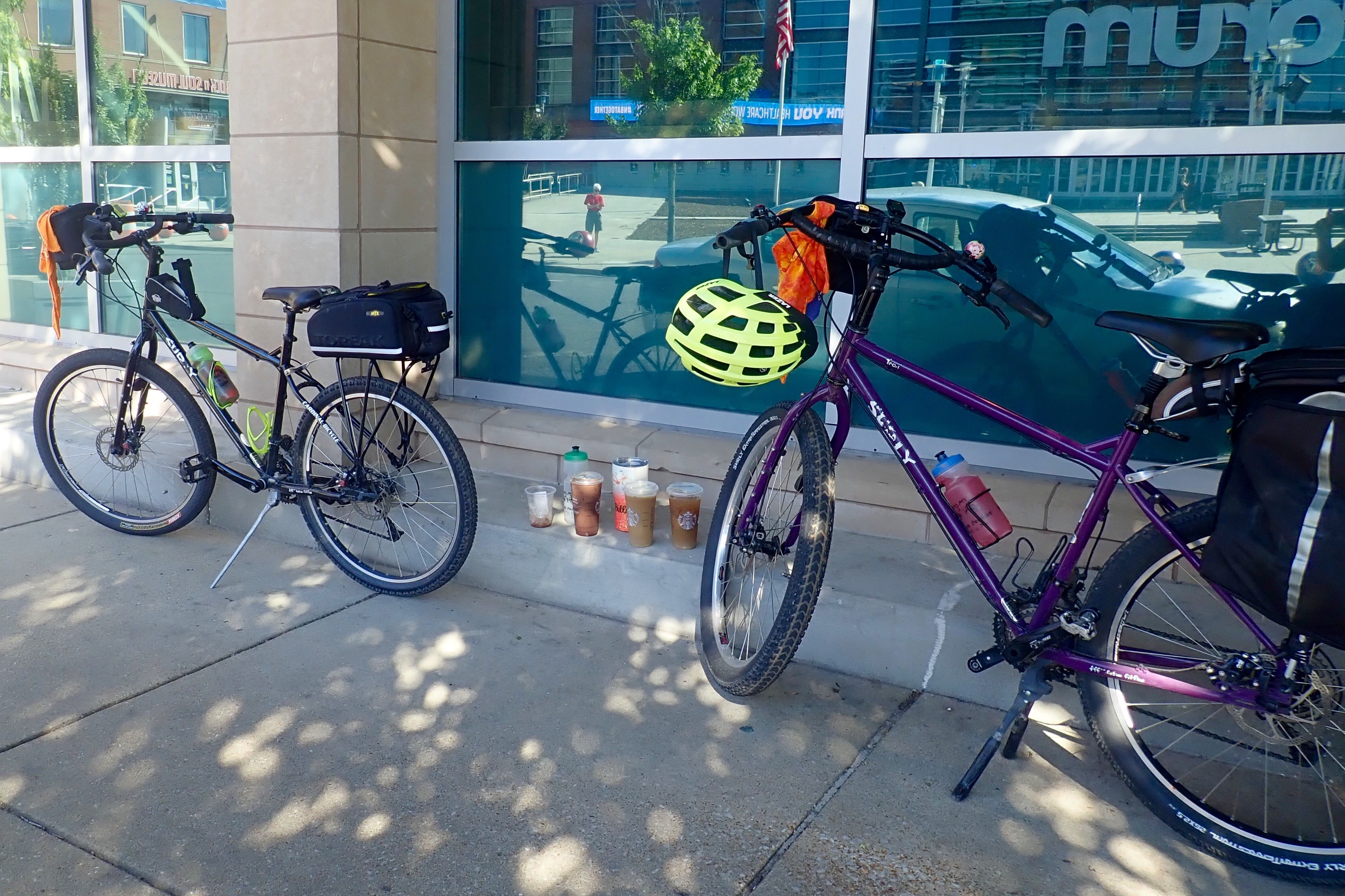
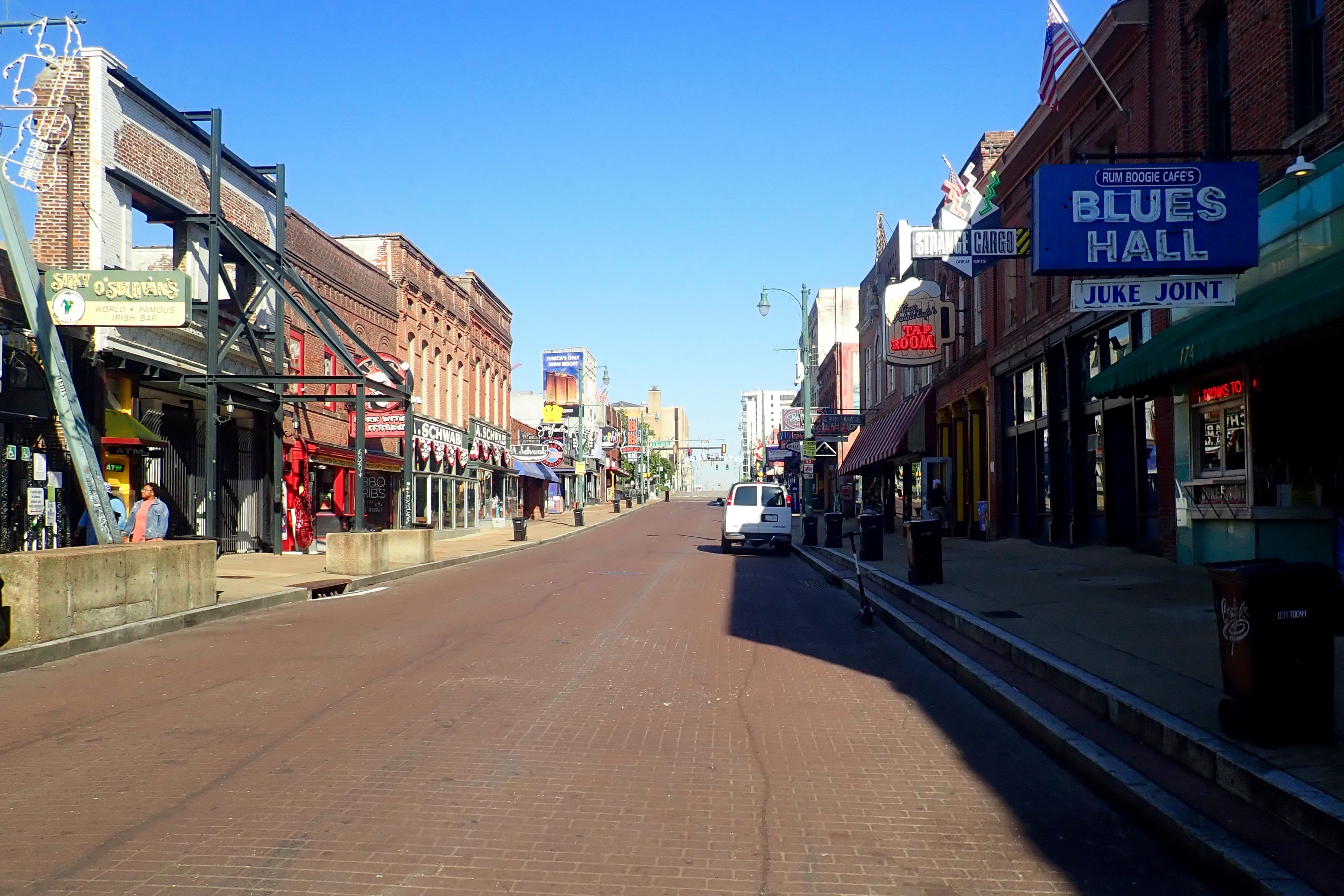
On the east side of the river, we rode a trail through a series of parks called Memphis River Parks until we found Beale Street. Neither of us would consider going to Beale Street in the evening when things are “hopping.” We were quite satisfied to ride down the middle of the street with no cars on a deserted Wednesday morning.
Our destination was Starbucks – you probably already knew that. We loaded up for the ride back. Double orders, empty containers to transfer our drinks.
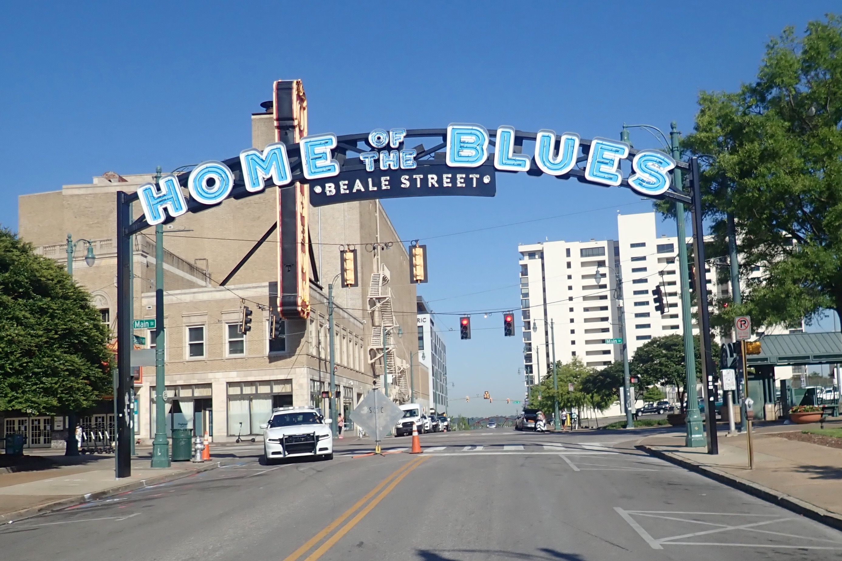
Time to ride back before it gets any hotter. Back up Beale Street:
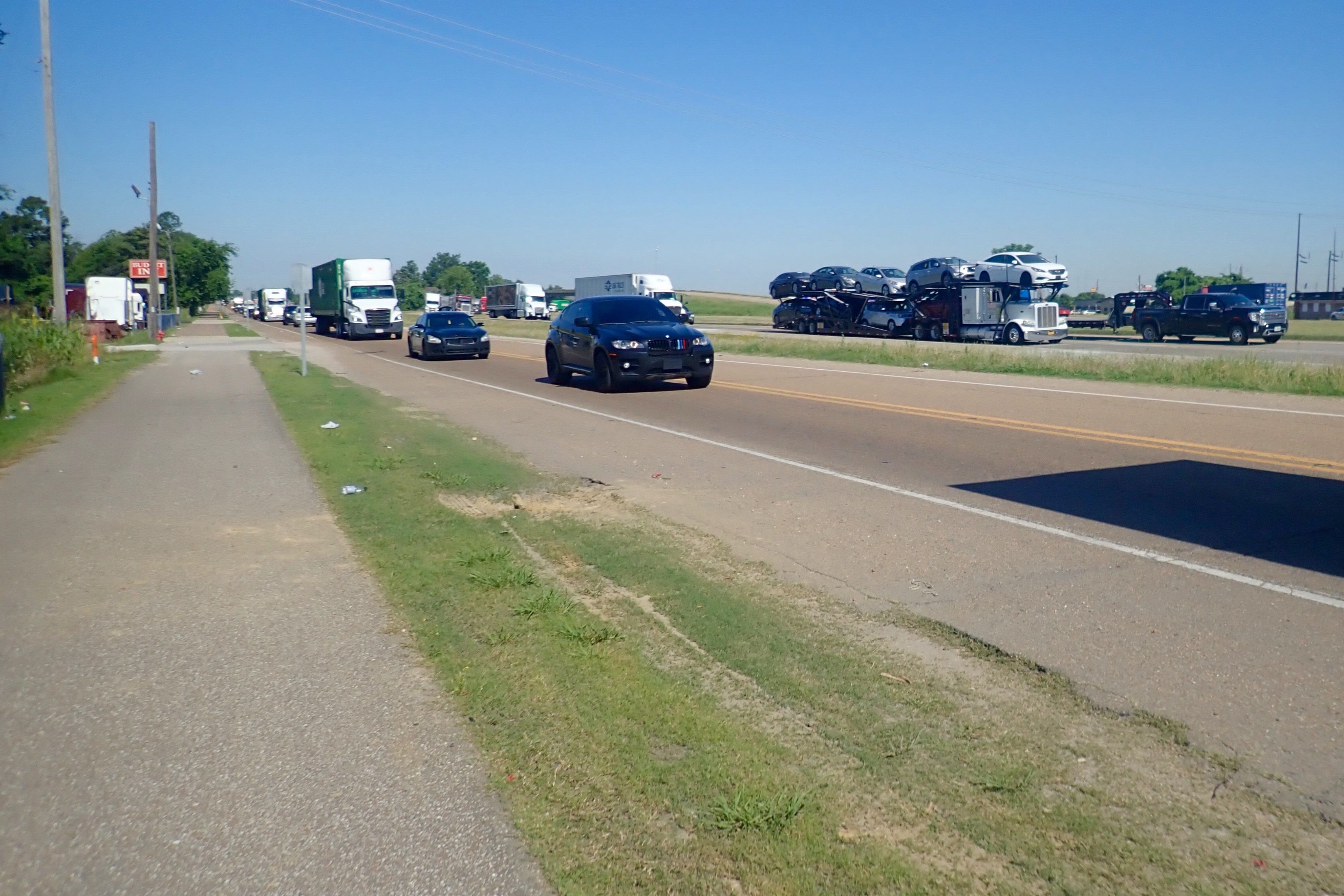
Riding the opposite direction allows you to see new things on the other side of the road …
and to appreciate traveling by bicycle instead of this:
Because I managed to get us lost a couple of times, today we rode 22 miles! Yay – felt good, and we were back by 10 am!
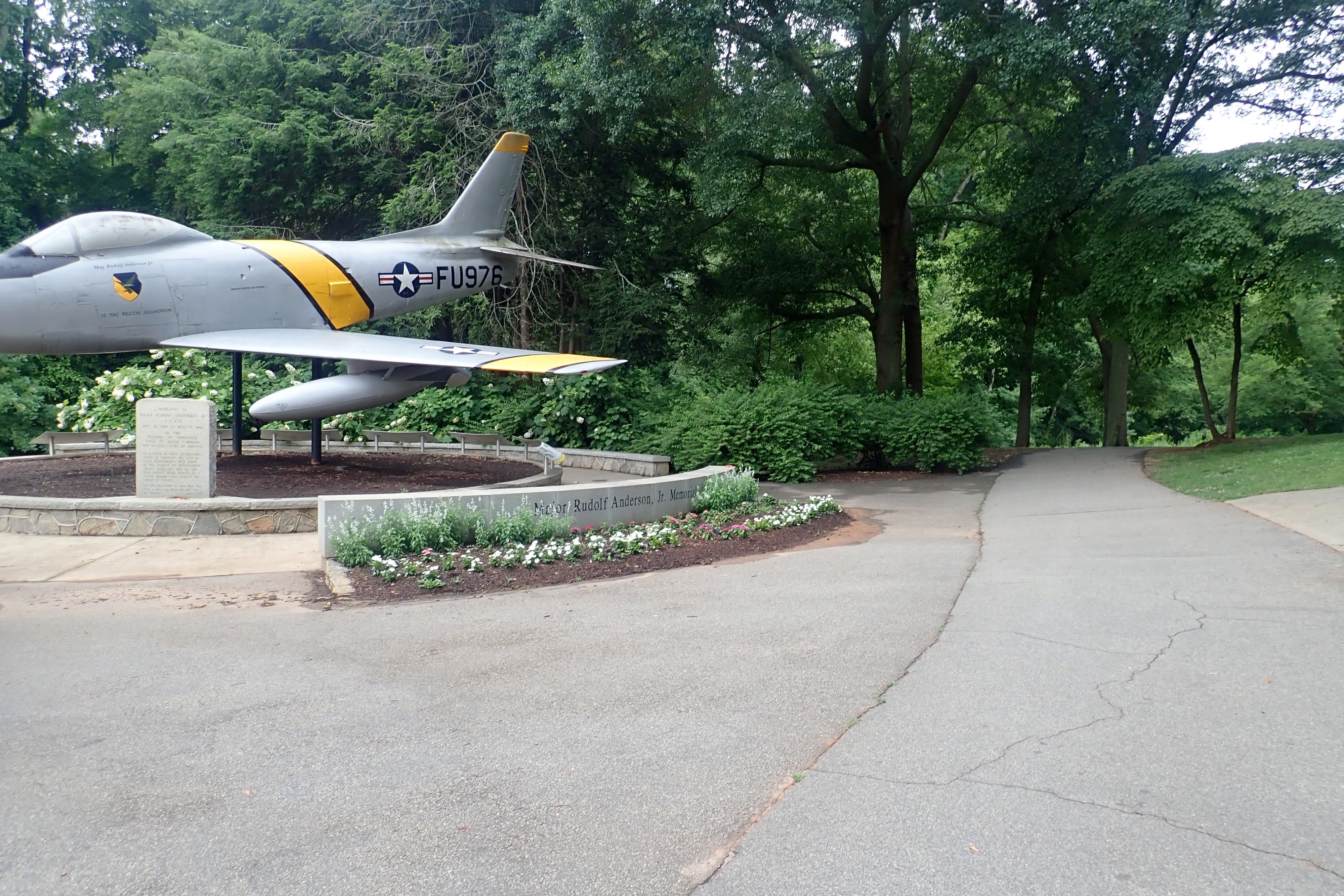
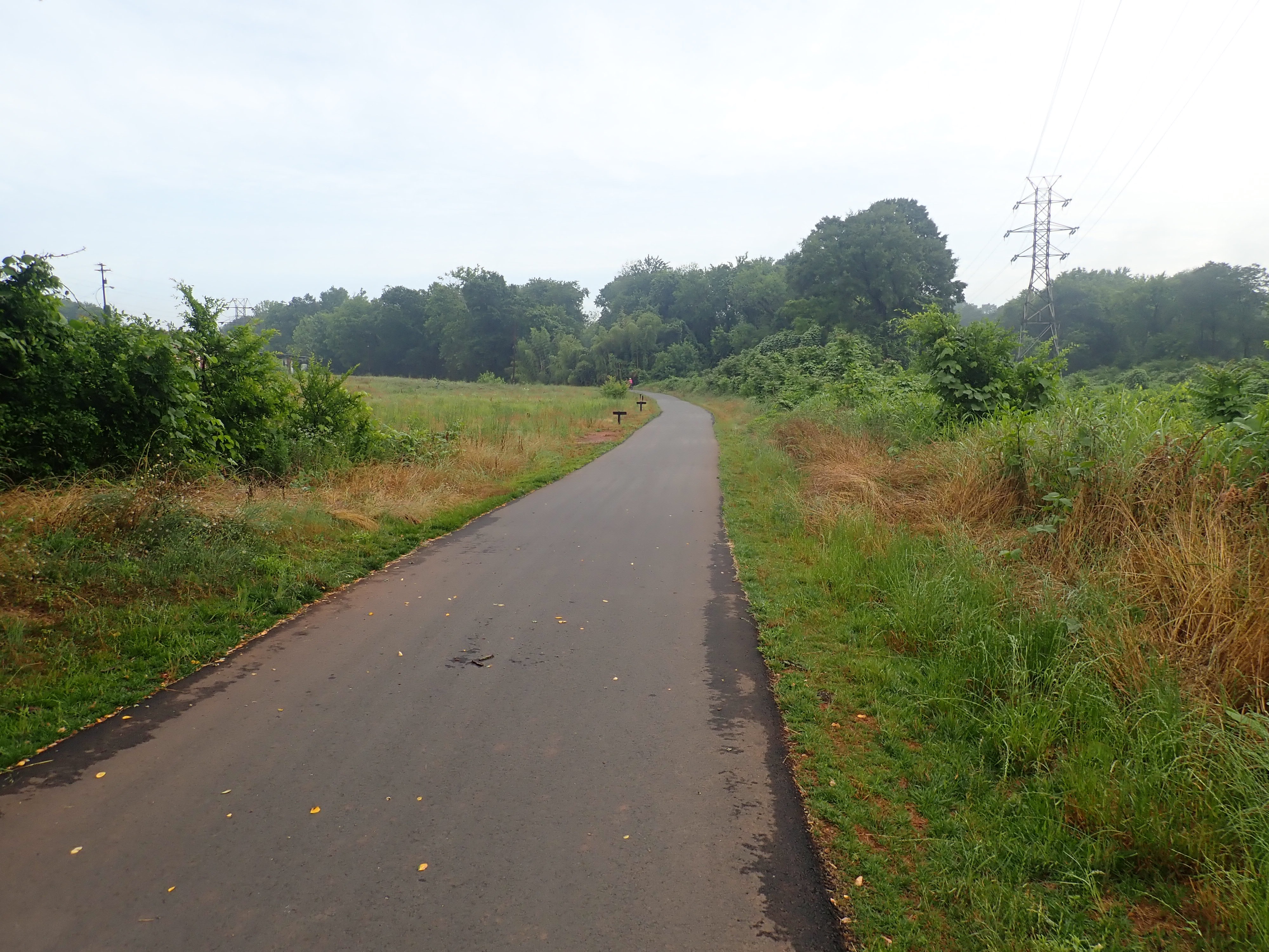
We rode 7.5 miles of the trail before our Down the Rabbit Hole tour – 13 miles roundtrip. Today we rode almost all of it. We started early in the morning because it was going to be hot and humid later on. It was actually quite humid even at 8 am but cool when pedaling through the air. Stopping and not moving was when the humidity had more of an impact – at least for me. Our starting point, a bowling alley called Bowlero:
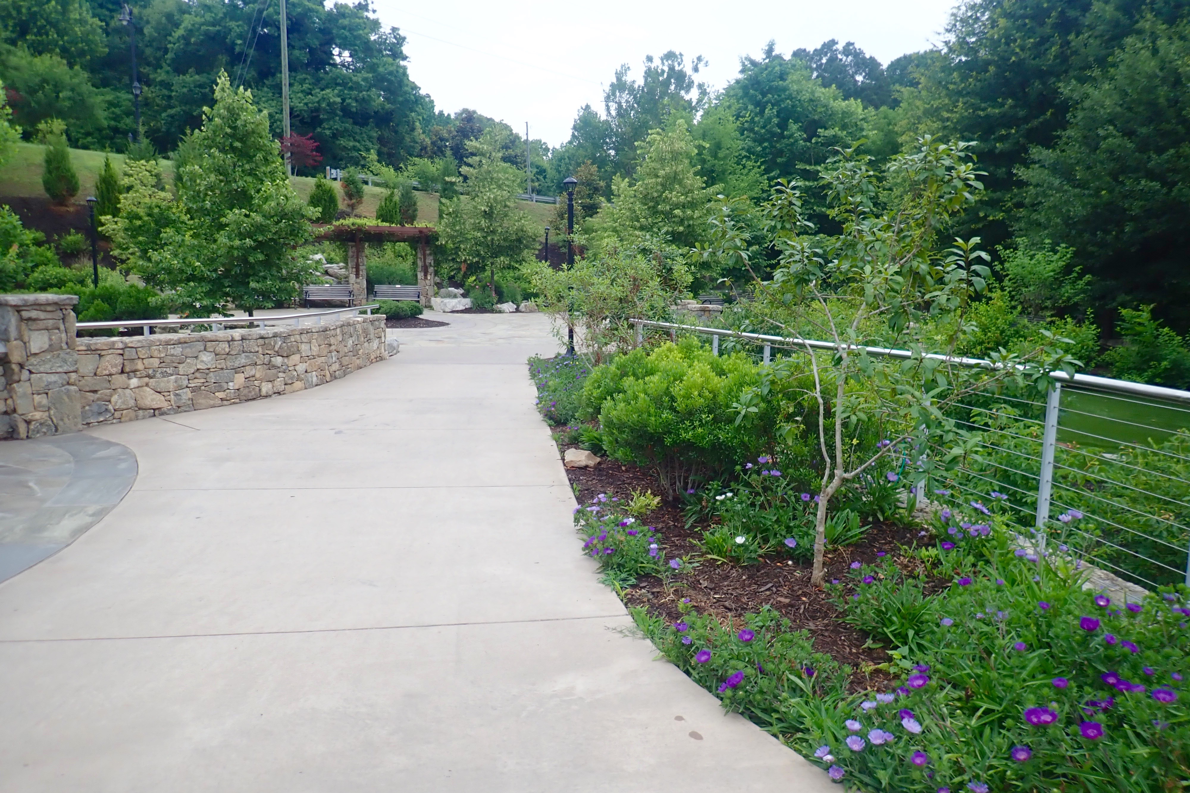
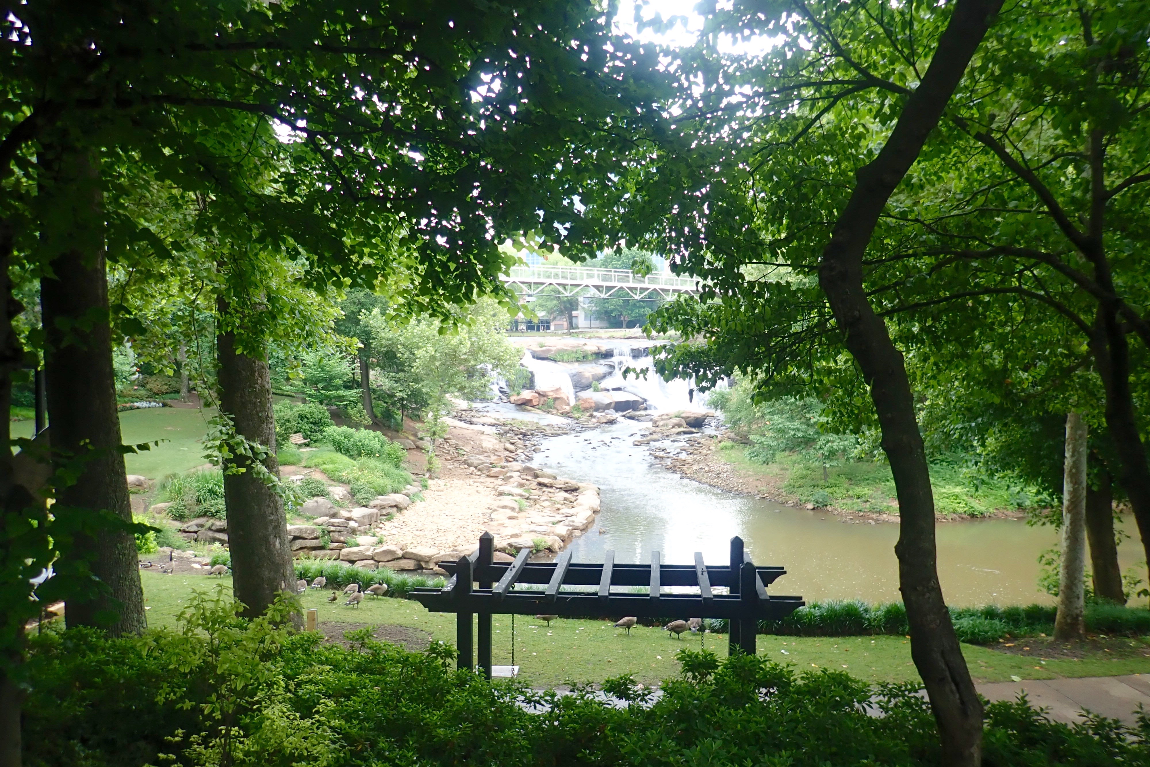
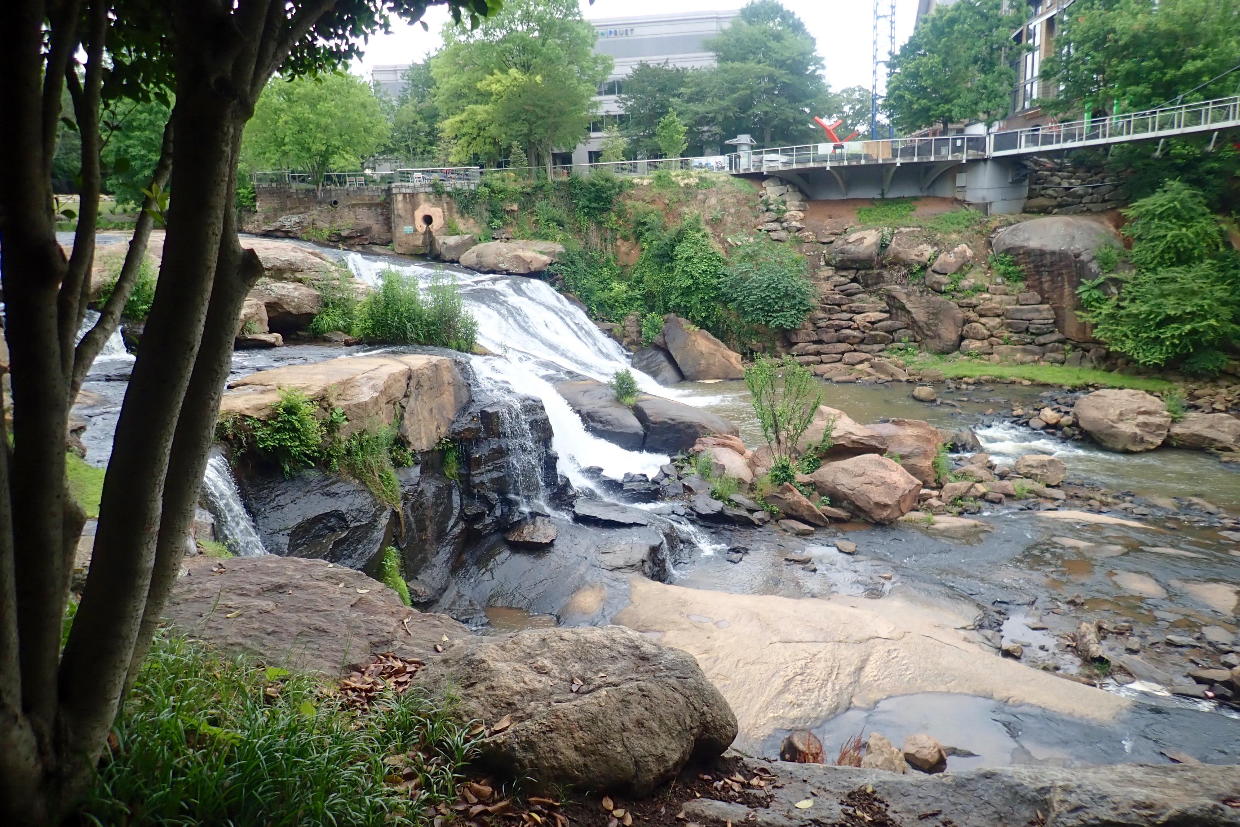
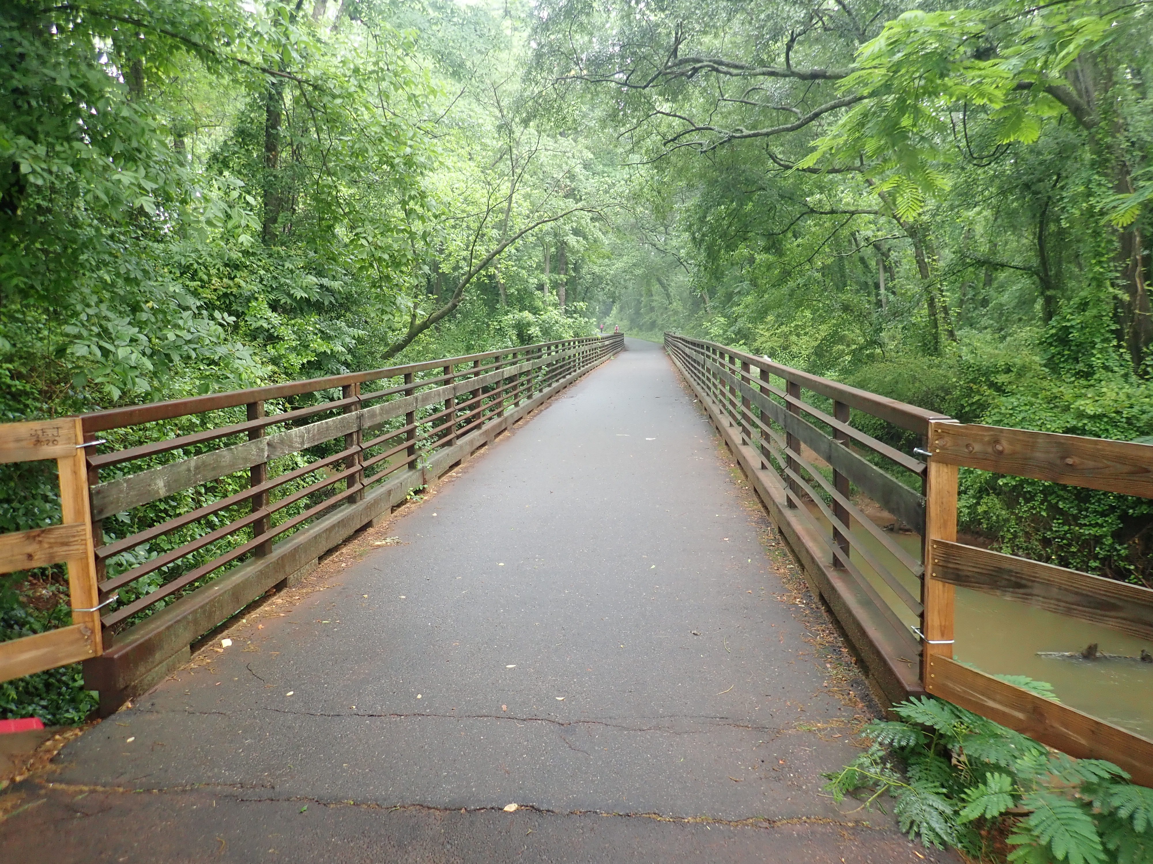
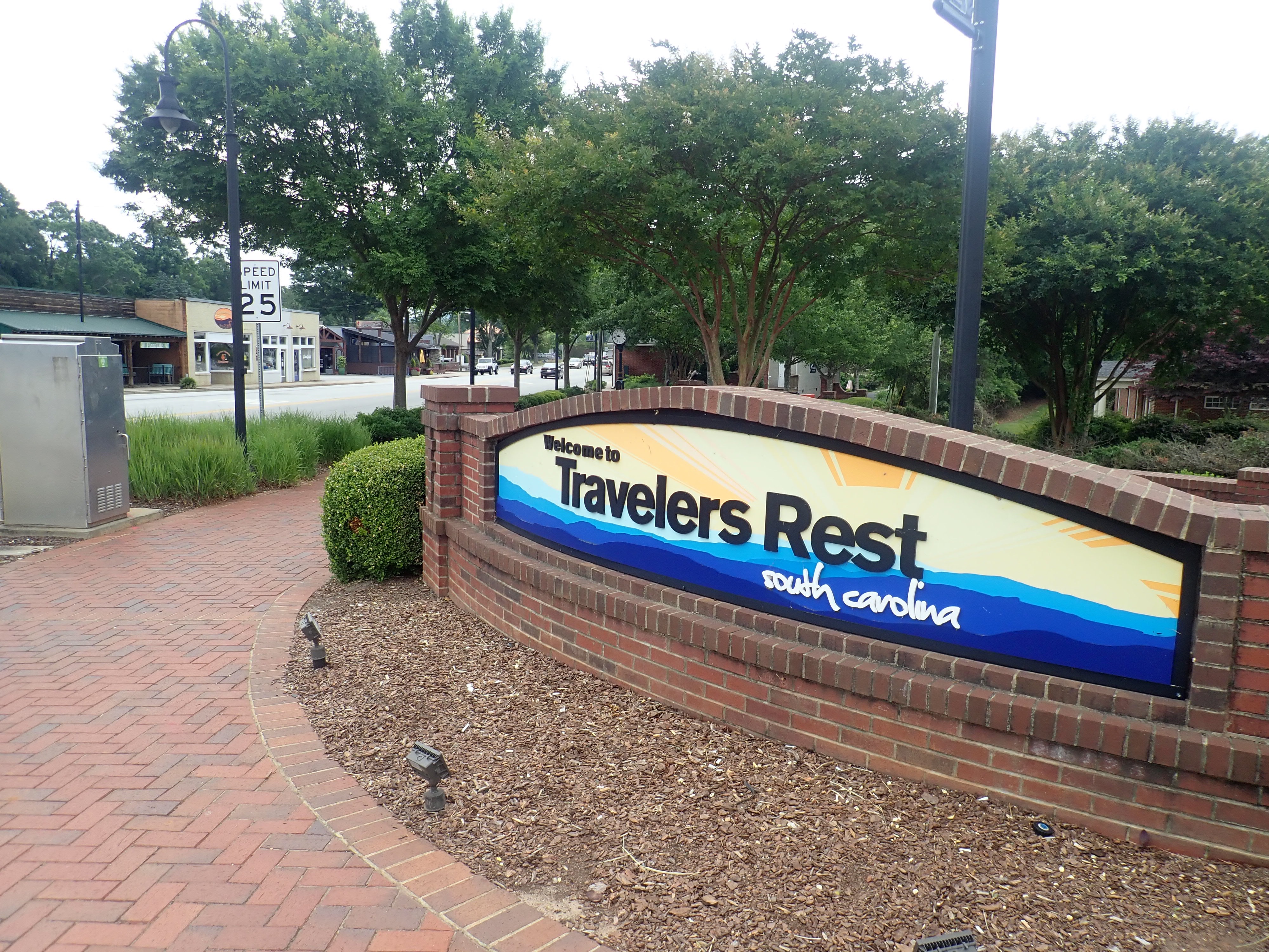
The Swamp Rabbit is a beautiful trail – 13 miles long – it goes through downtown Greenville and past Falls Park on the Reedy, continues to Swamp Rabbit Cafe and Grocery, Furman University, and ends in Traveler’s Rest. I took so many great pictures of this trail, you will see just a few highlights.
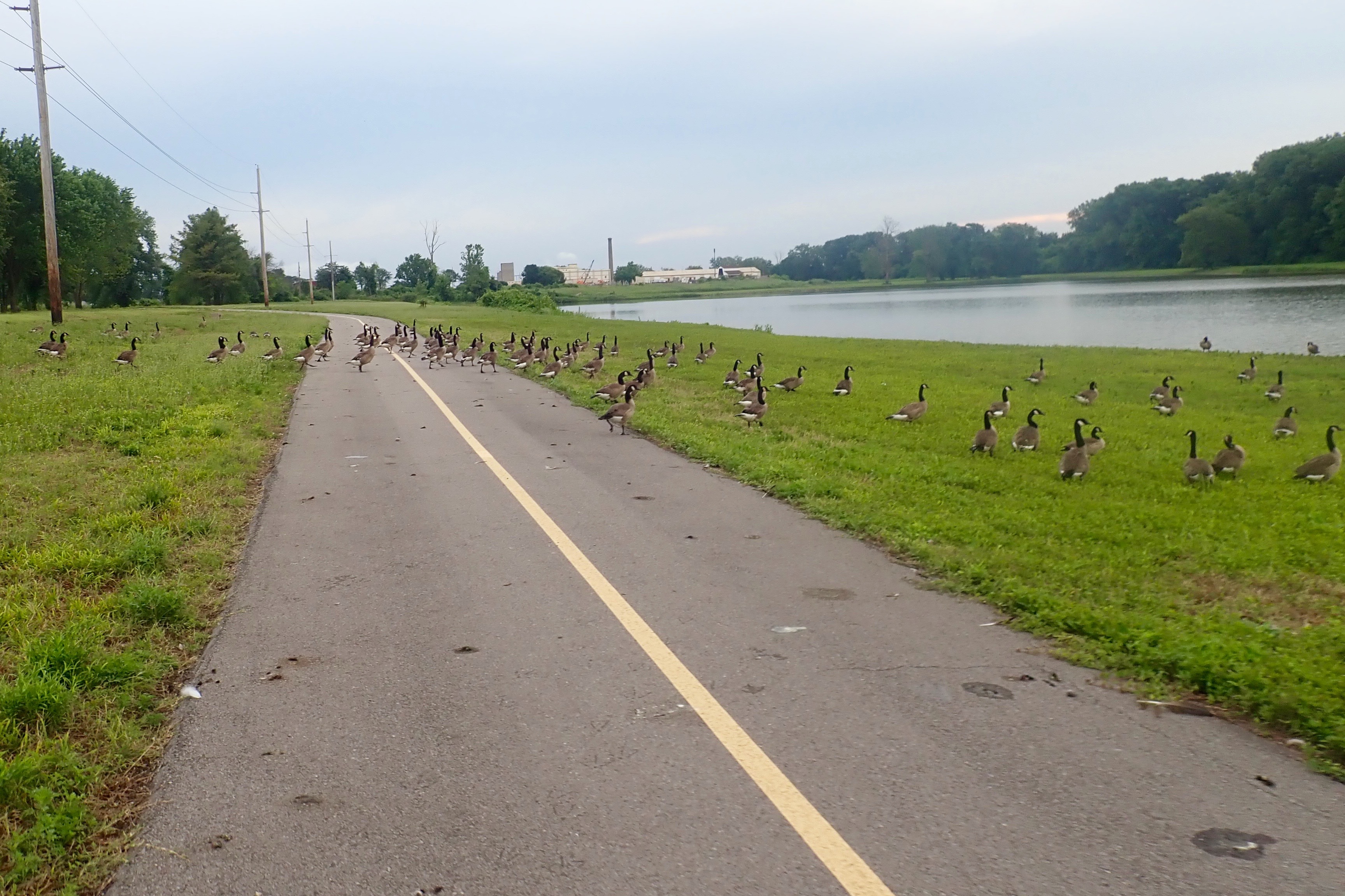
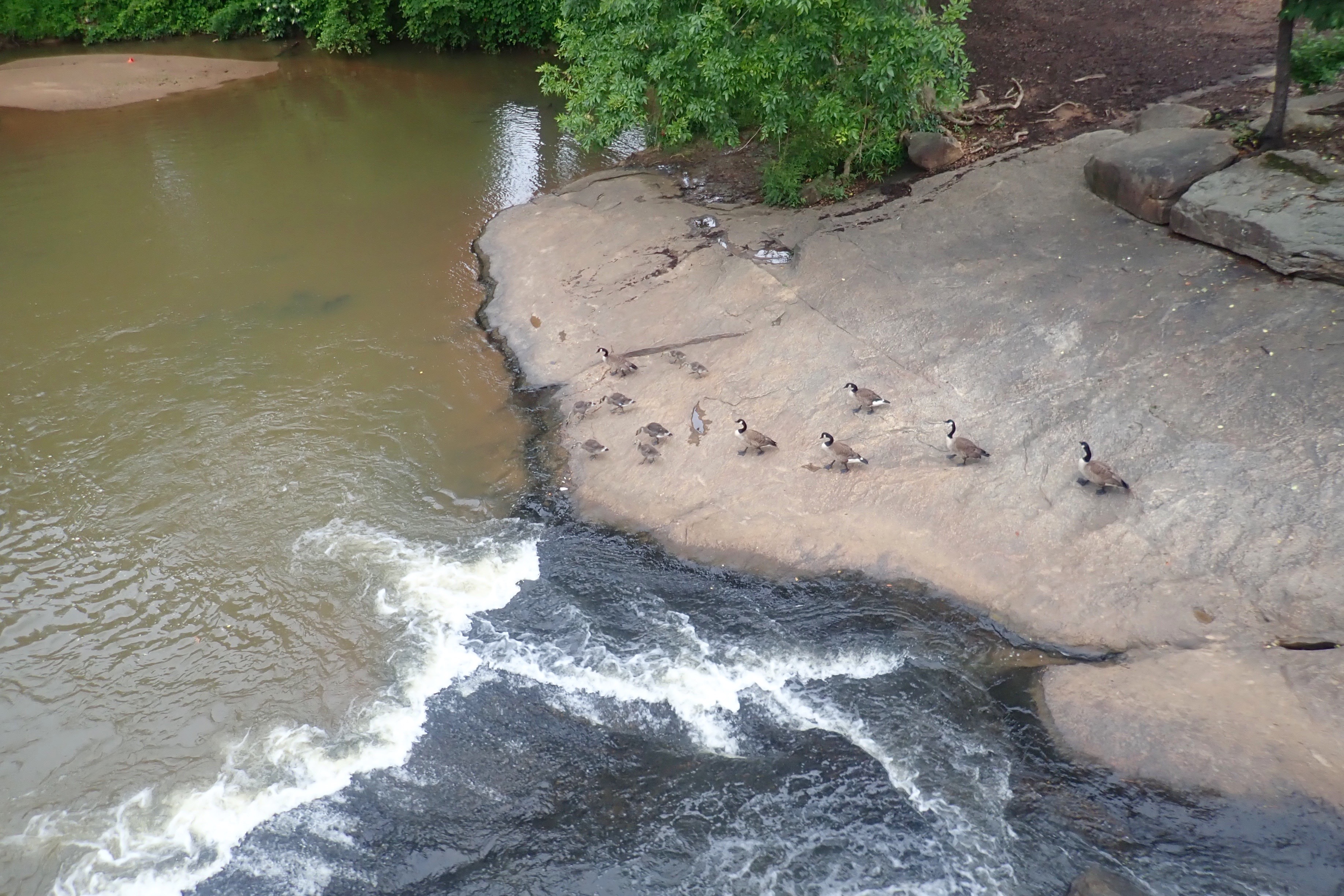
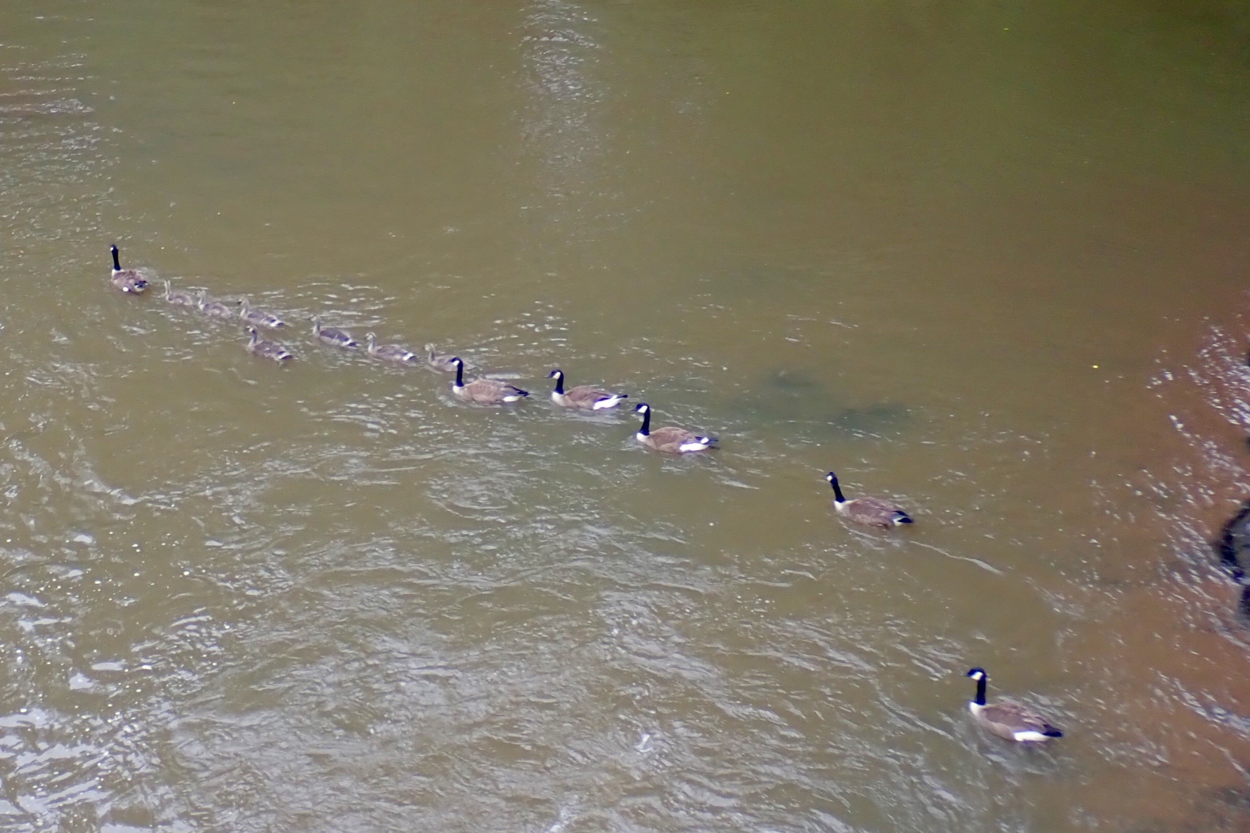
A few goose families walked their young ones around some little rapids.
One adult leads the younger ones while five “sweeps” follow up.
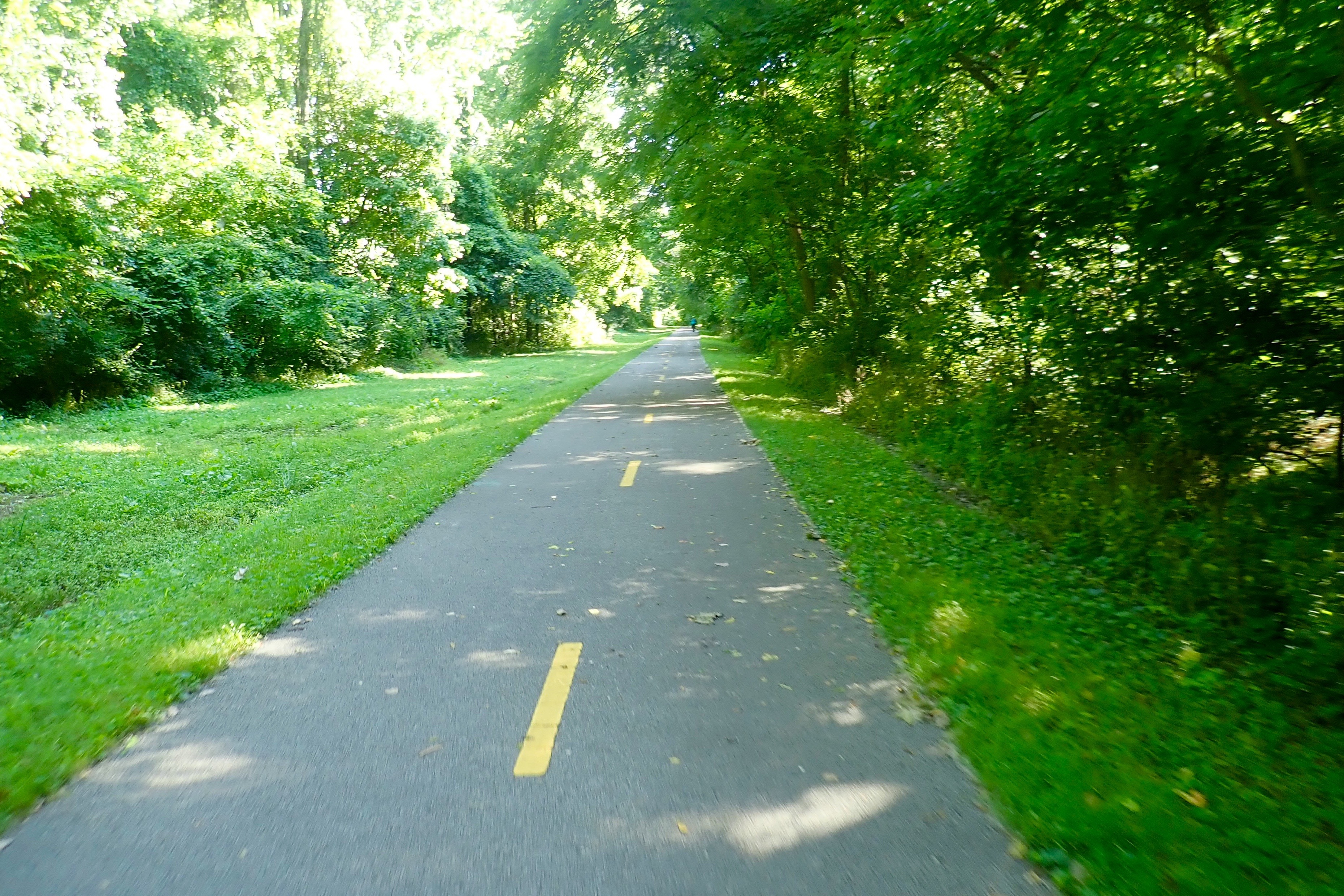
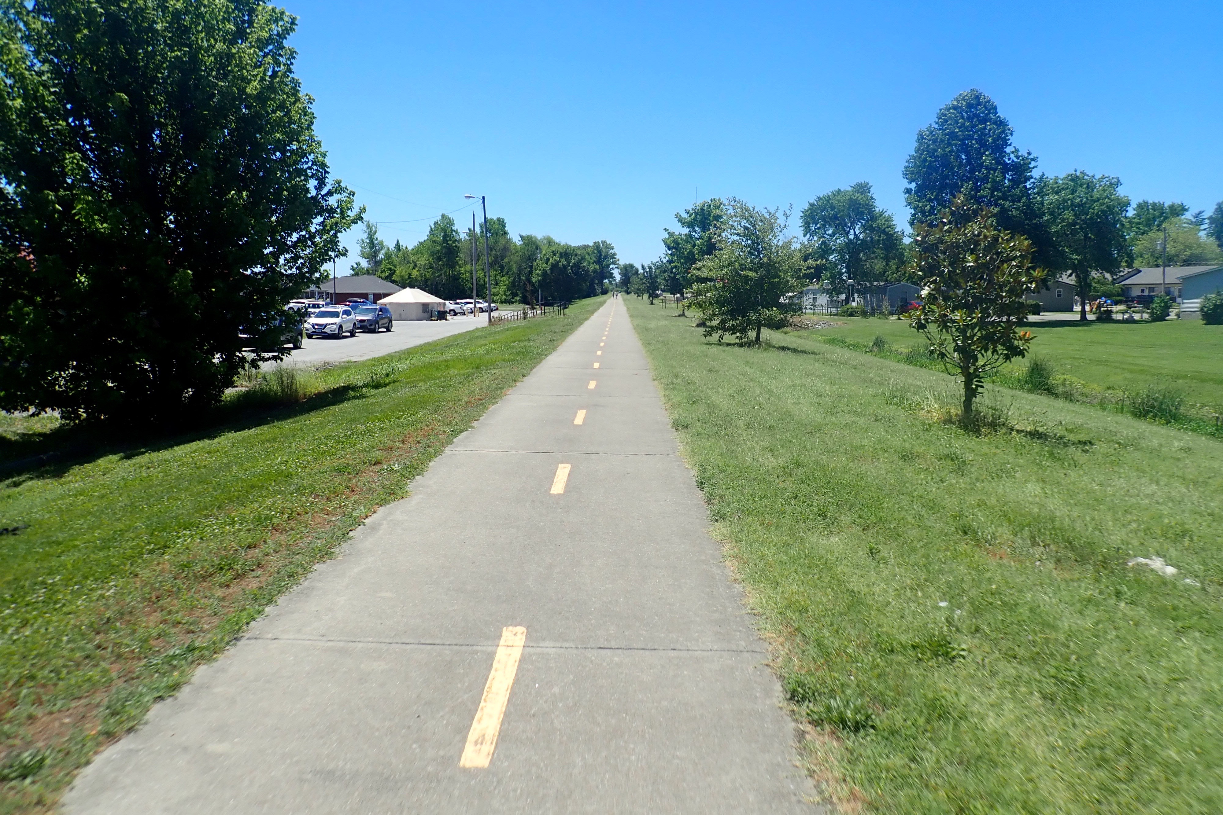
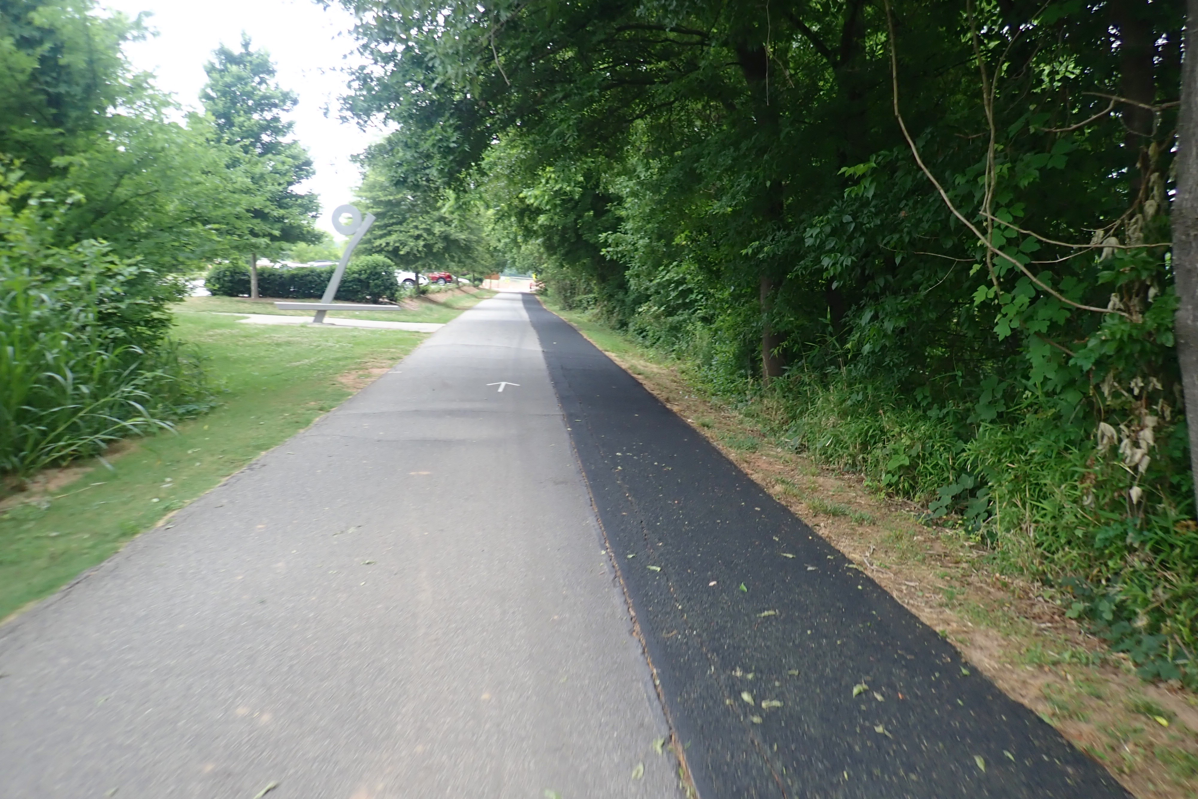
The black area alongside the asphalt trail is a rubberized surface for runners and walkers:
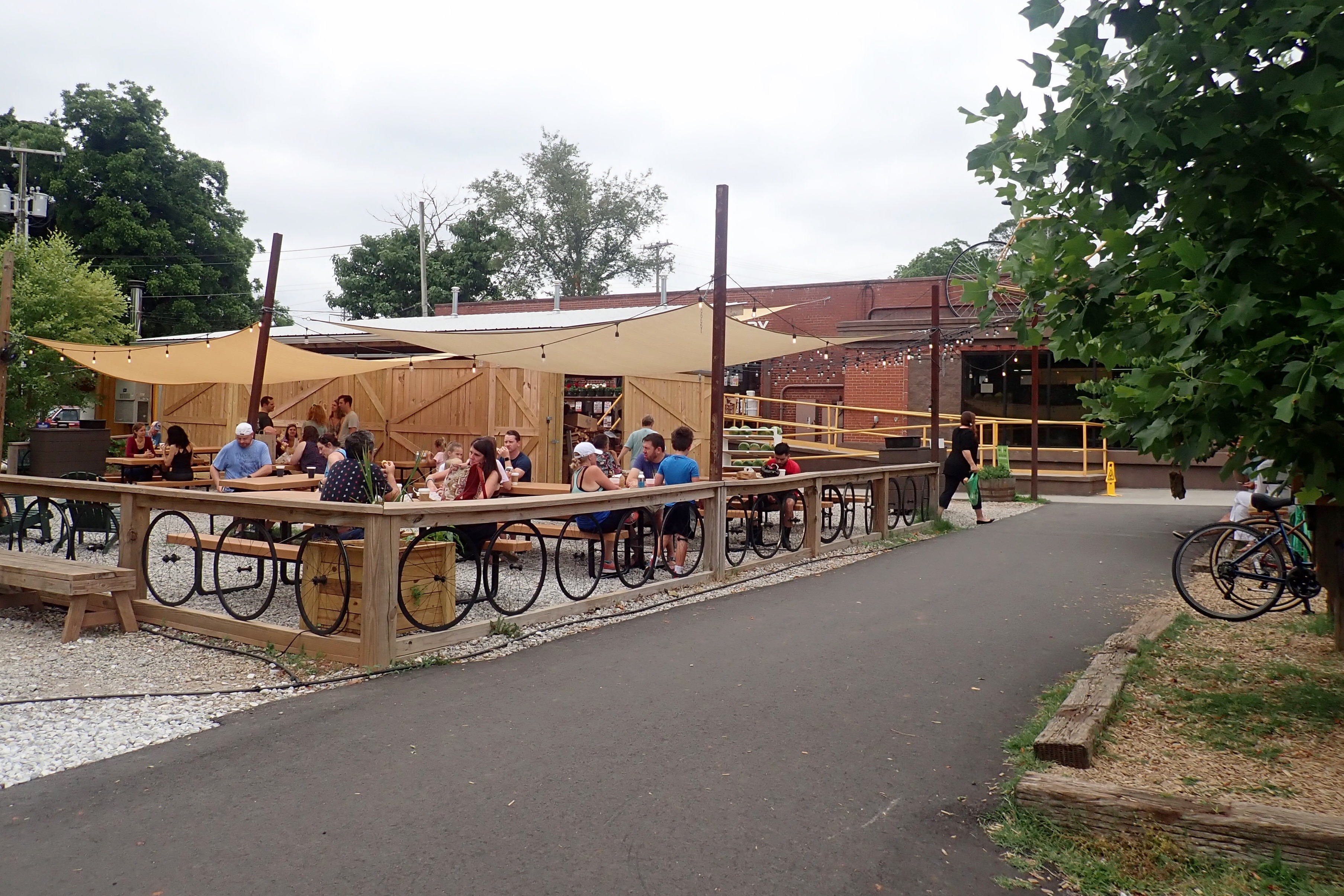
After turning around in
we stopped at Swamp Rabbit Cafe and Grocery for breakfast. Yum one more time!
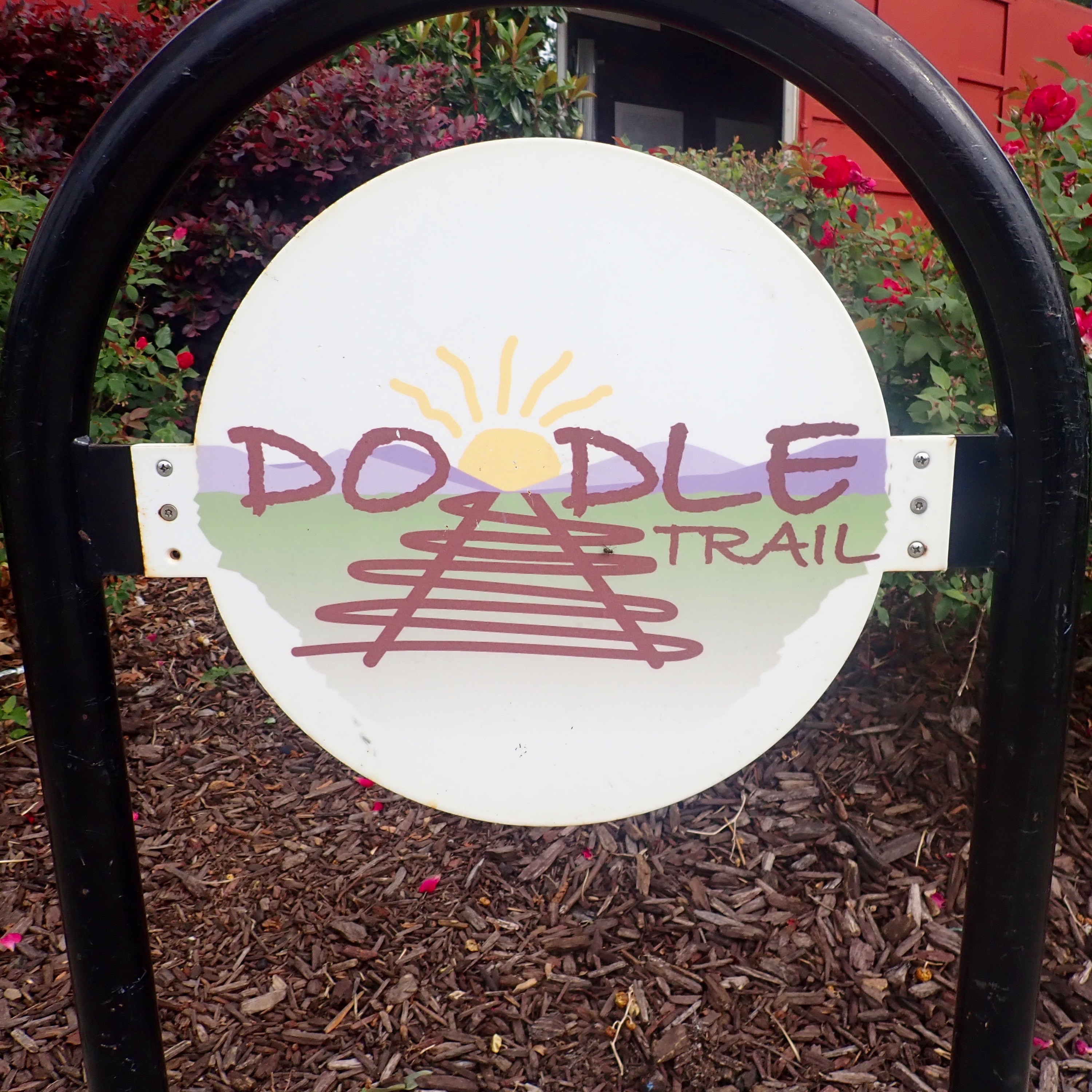
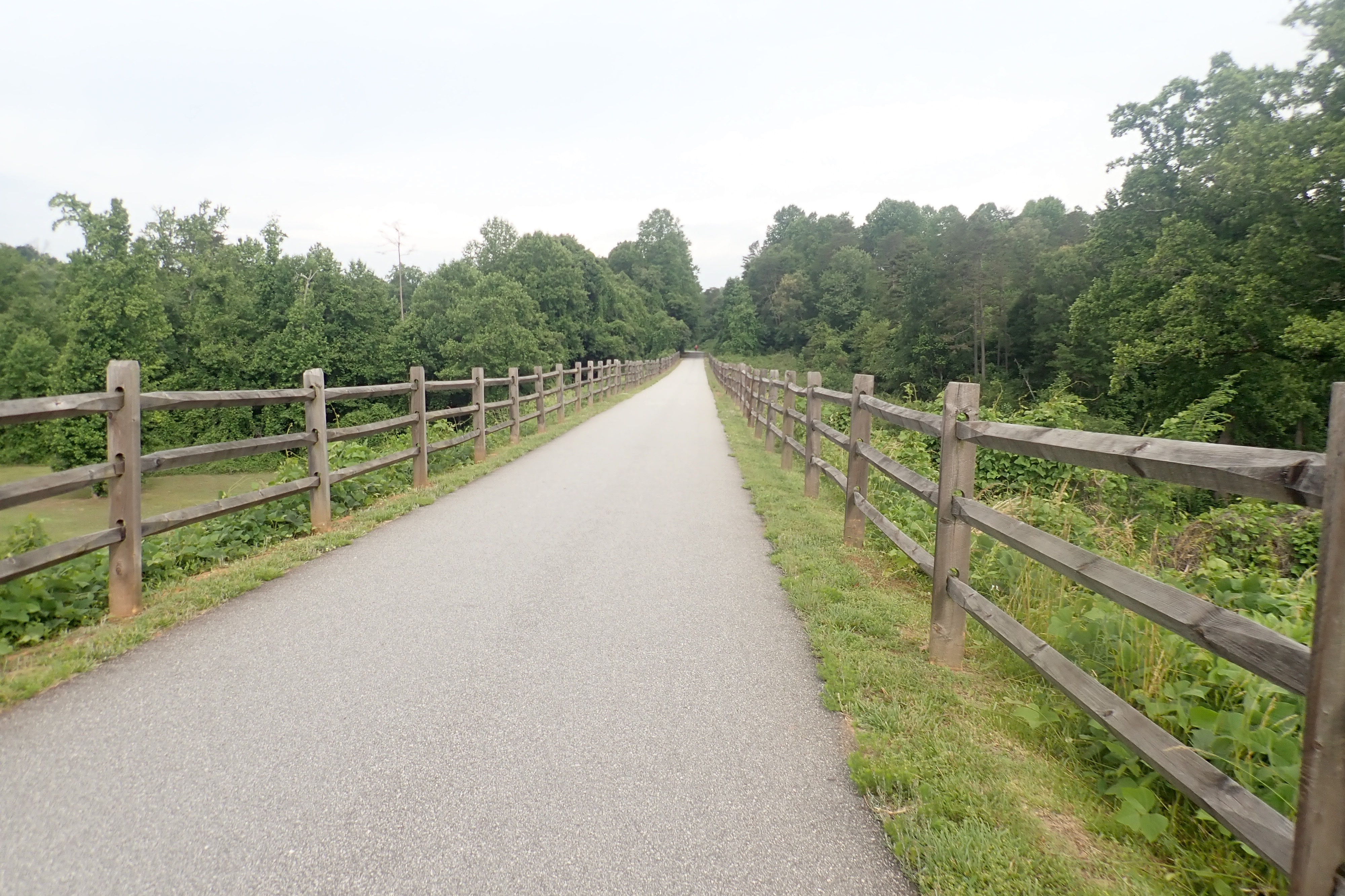
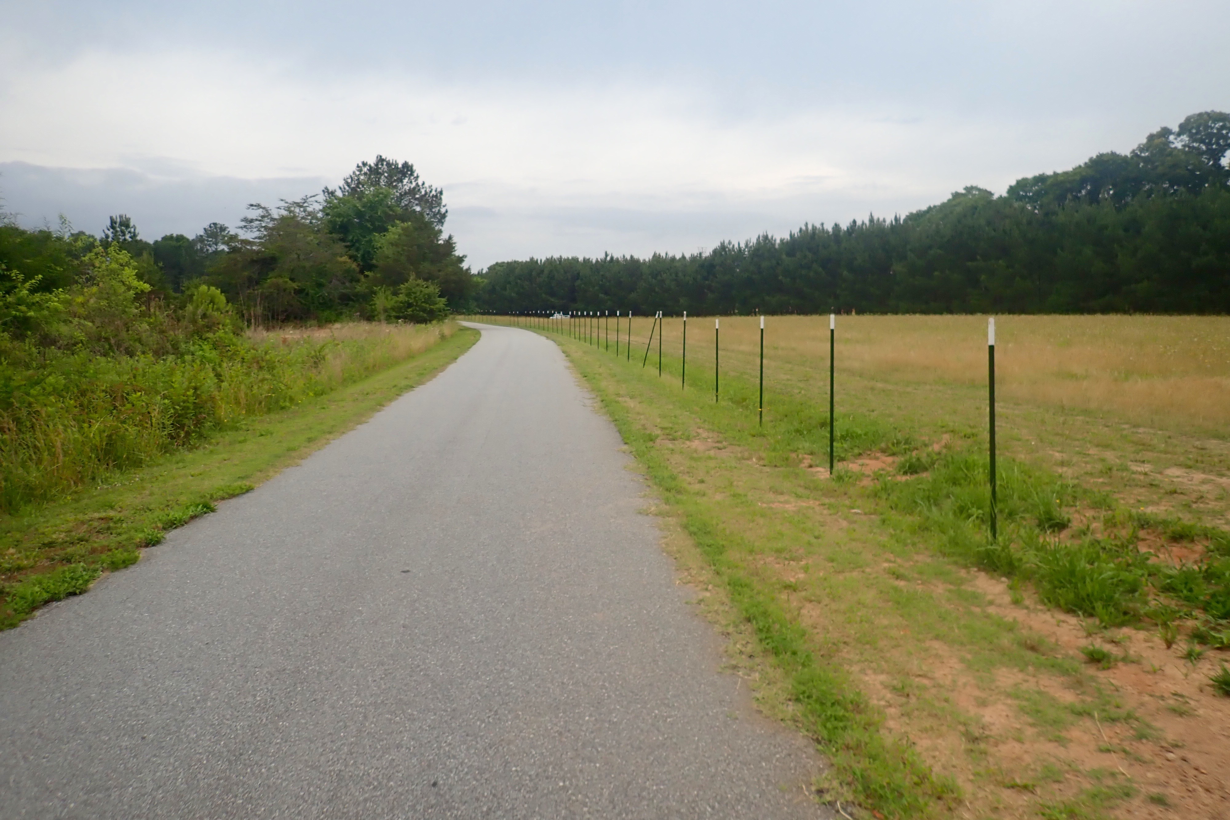
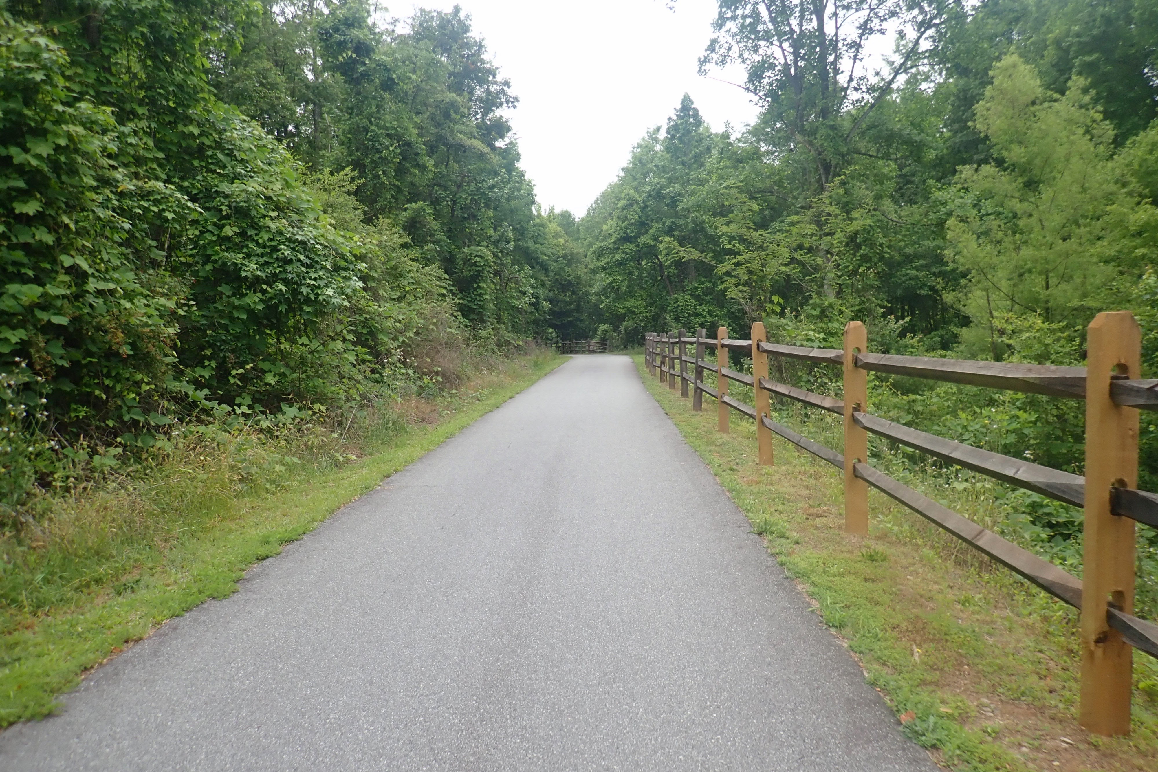
We arrived in Greenville SC yesterday. Today we drove to Easley to ride out and back on the Doodle Trail.
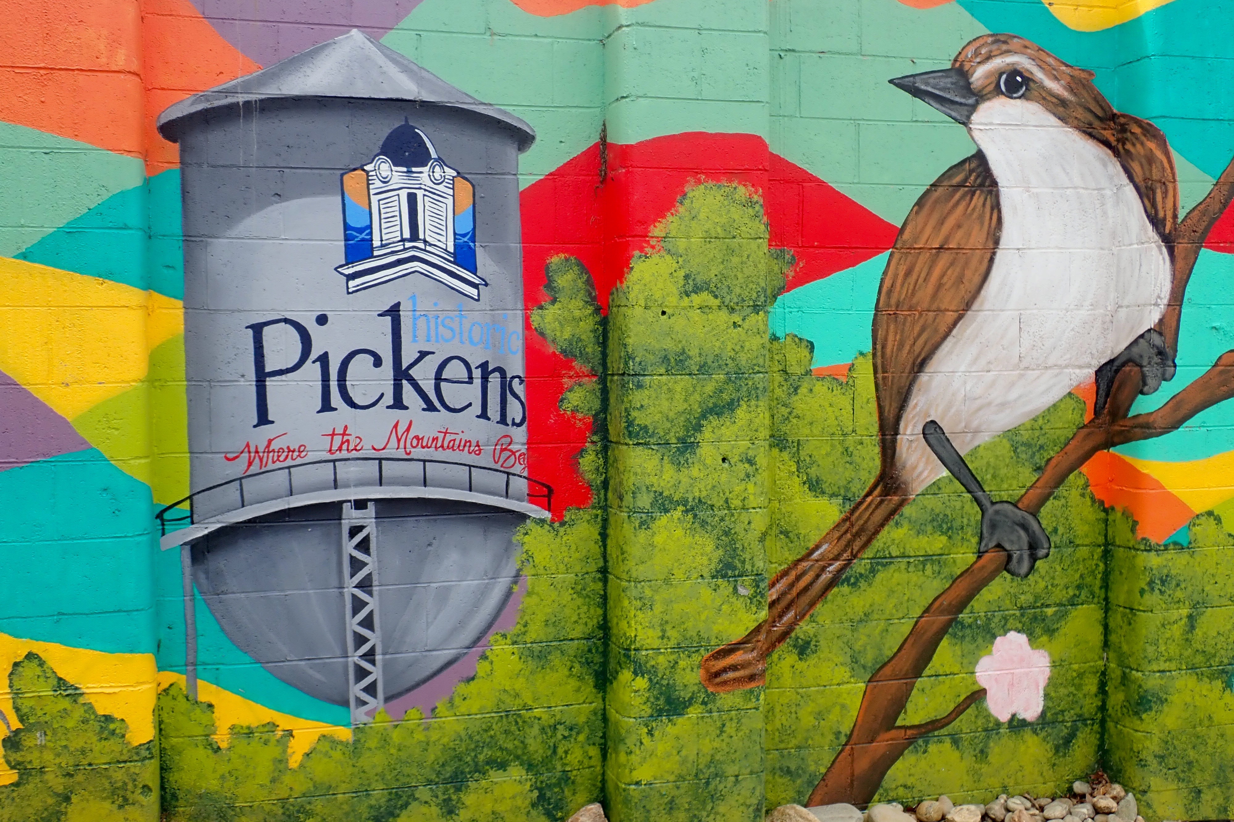
This trail got its name because the train that left from Easley could not turn around in Pickens so it had to go backwards on the return trip. Like a doodlebug.
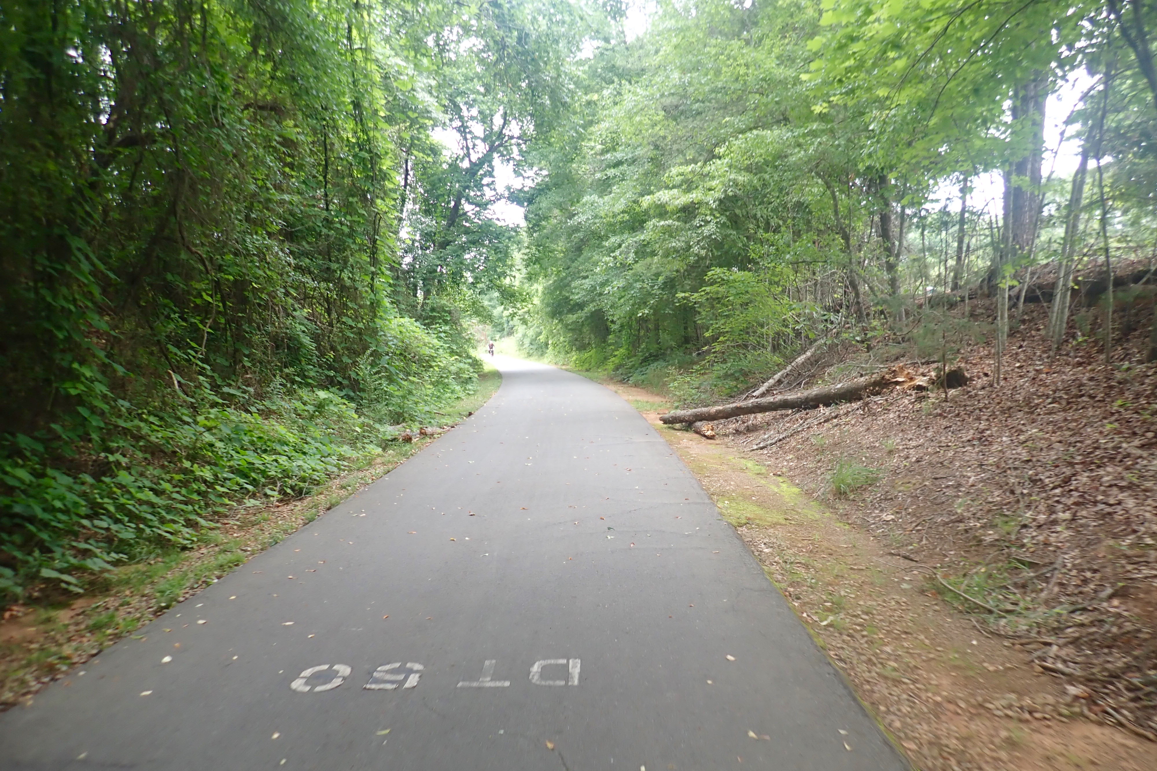
There are mile markers every tenth of a mile that look like this: