When you see the first picture in this post, know that my panic attack had pretty much subsided by time I took the picture. The last part of the drive to the interpretive center was 3 miles climbing 1808 feet, average grade = 11.2% AVERAGE grade – in fact, one quarter-mile section is a 16% grade. Coming up to one of the steeper sections on a curve, a cyclist was followed by two vehicles, then me. The cyclist couldn’t move over, there was no shoulder and it was a sheer drop beyond that. The first two vehicles got around the cyclist but when I tried, in stick-shift Versie, I stalled out, in the middle of the road. That’s when I panicked. The car behind me just drove around me, a car coming down the hill drove on the wrong side of the road and went around me. I was terrified. Billie saved the day, she gave instructions, we changed places, and she gunned it out of there. I was still shaking by the time we got to the top and it took a while to get out of the car.

Oh hurray, another uphill climb. But no stairs this time which I hoped would make it better.


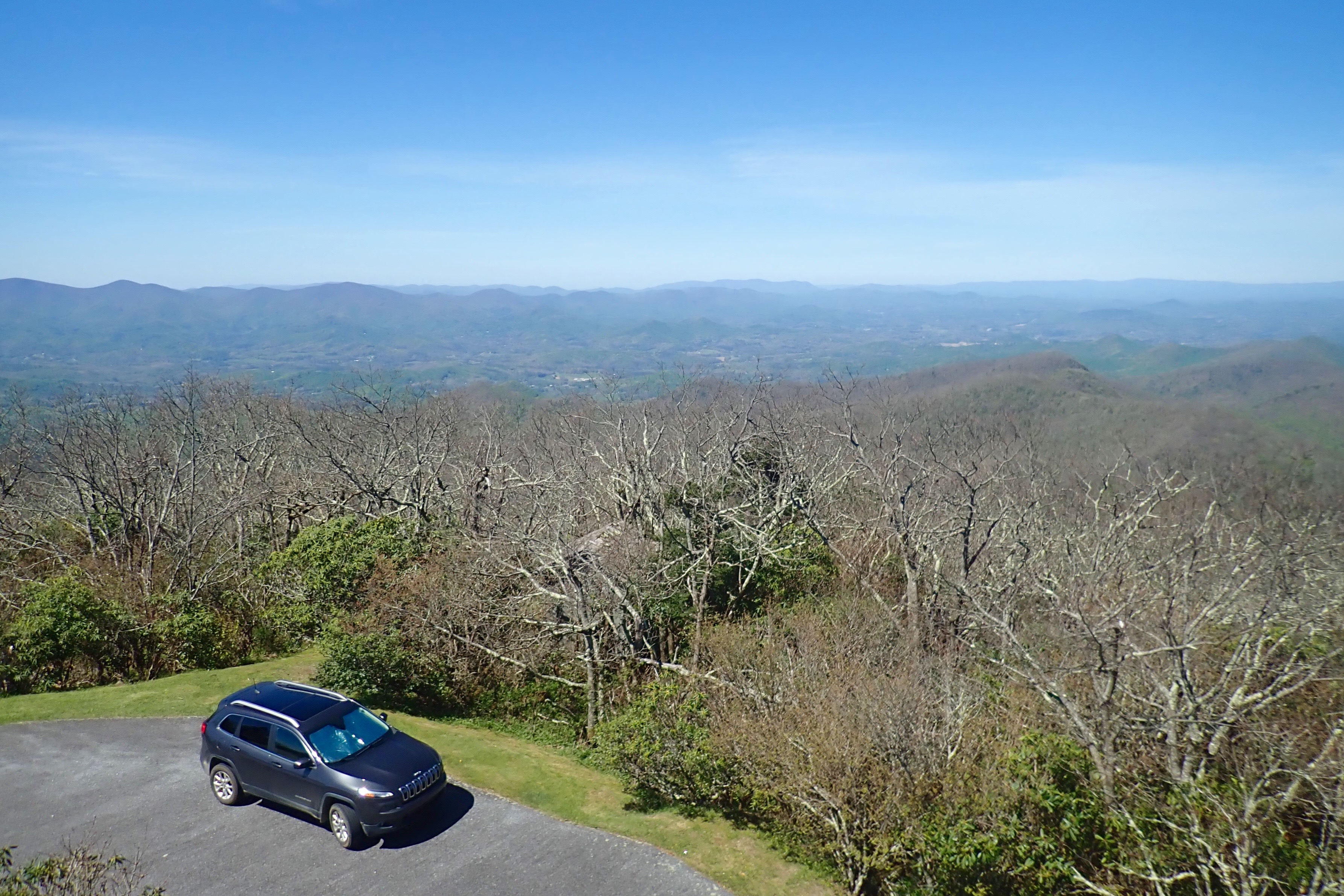
4784 feet – Georgia’s highest point. A 360-degree view. On a clear day you can see four states. This would be east with a view of S Carolina:

Northwest to N Carolina and Tennessee:
Lake Chatuge which straddles Georgia and N Carolina. Hiawassee is a small town on the southeastern side. Our campground is 6 miles from town.

Then 6/10 mile down the trail:

Oooh, my legs need some rest!
