I talked Dave into riding the Bizz Johnson Trail with me by saying it was ALL downhill. One of the trail descriptions did say that as long as you started near Westwood and rode to Susanville. Phyl drove us to the trailhead and met us a few hours later in Susanville.
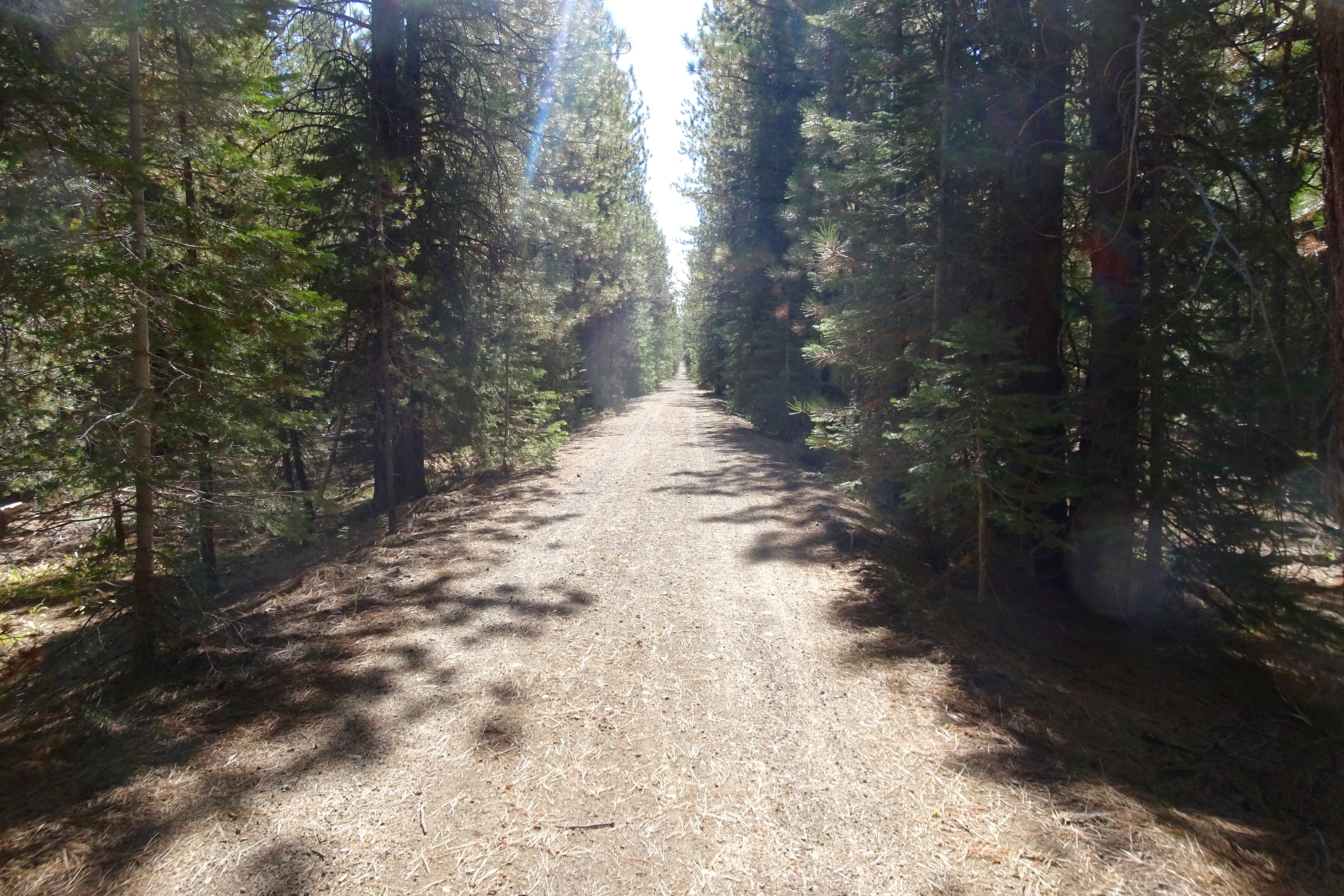
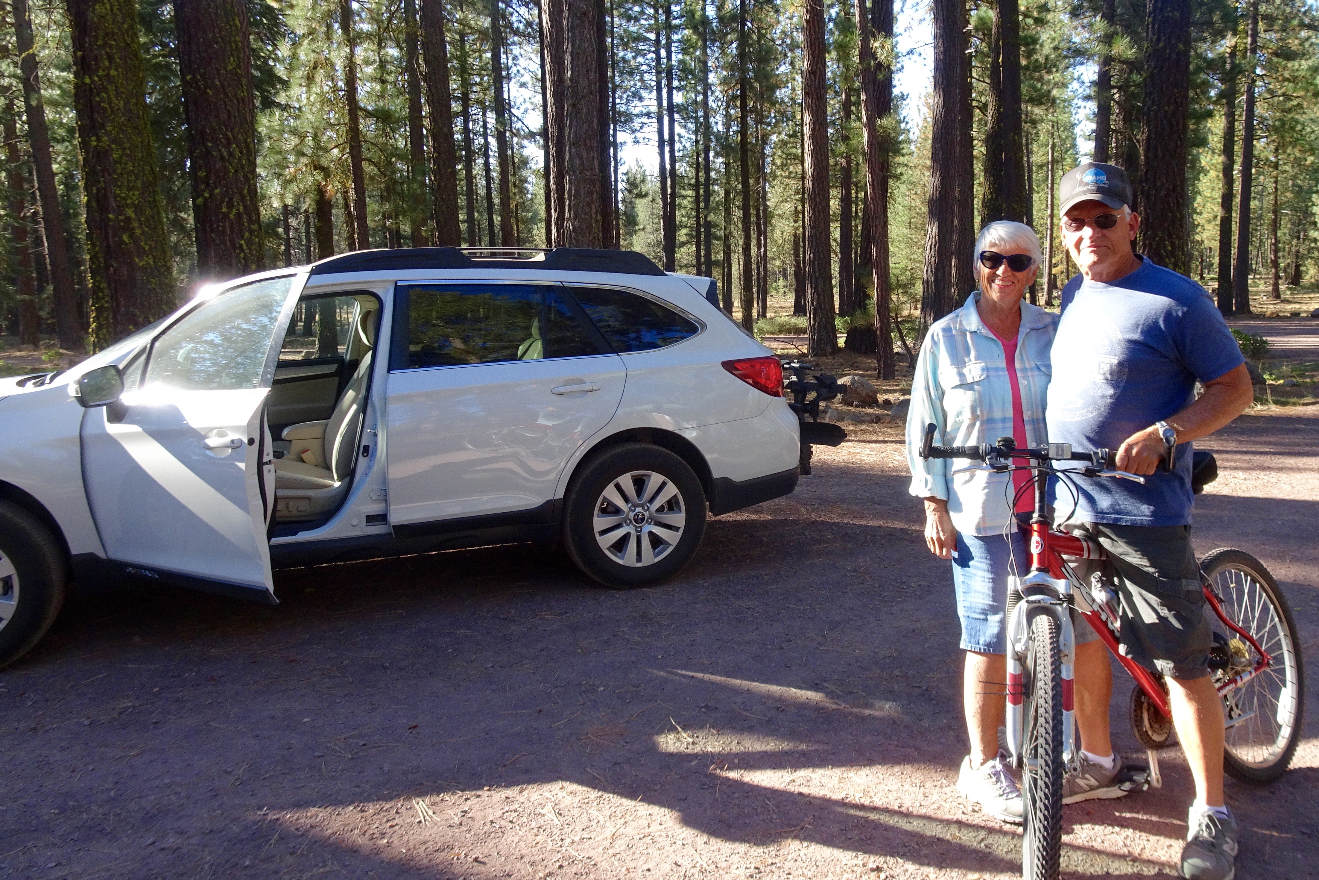 Sorry, Dave. The first 6 miles were uphill, a gentle 2-3% grade, but uphill nevertheless. It was also quite rocky, bumpy, and dusty – definitely a mountain bike trail.
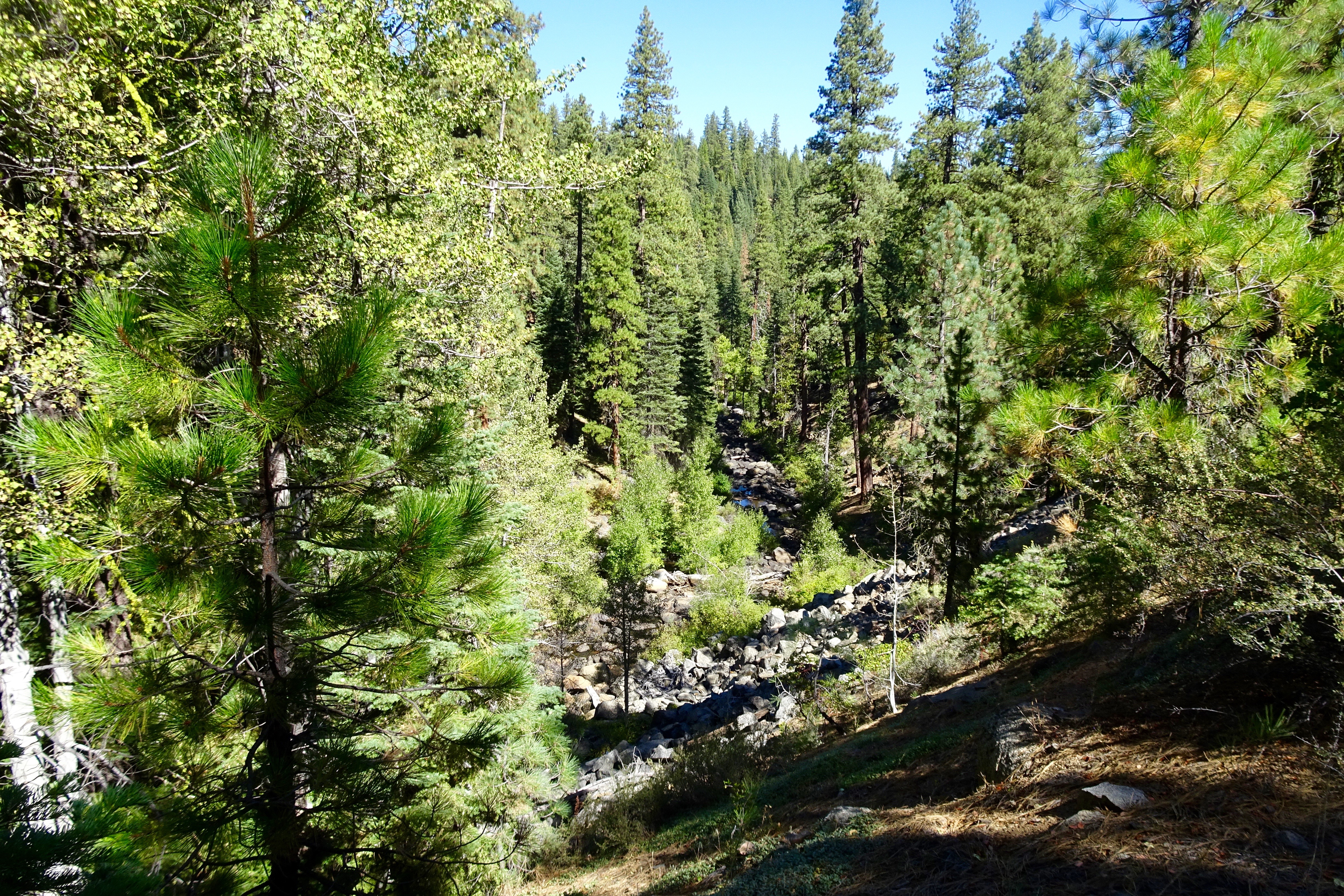
 The Susan River:
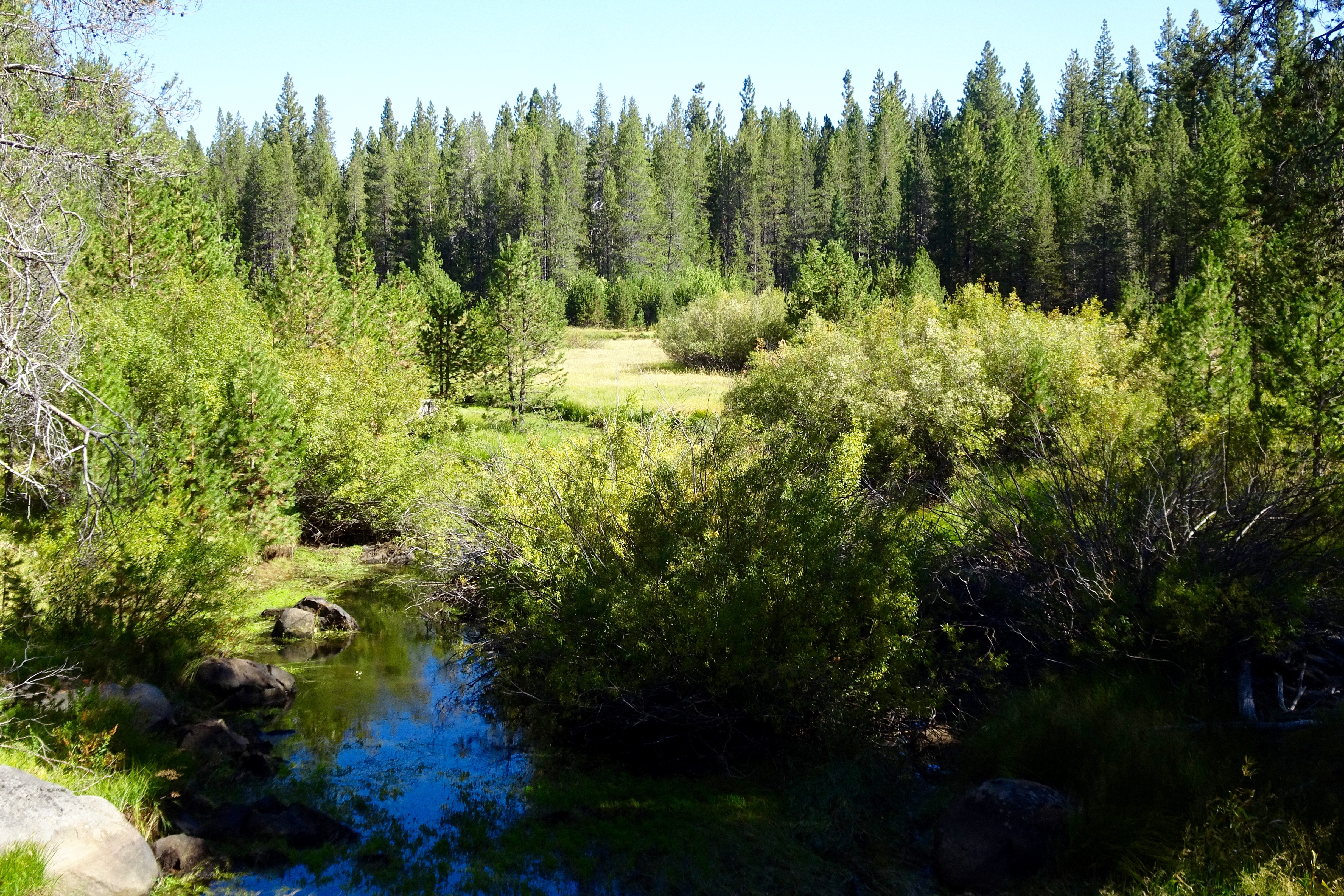
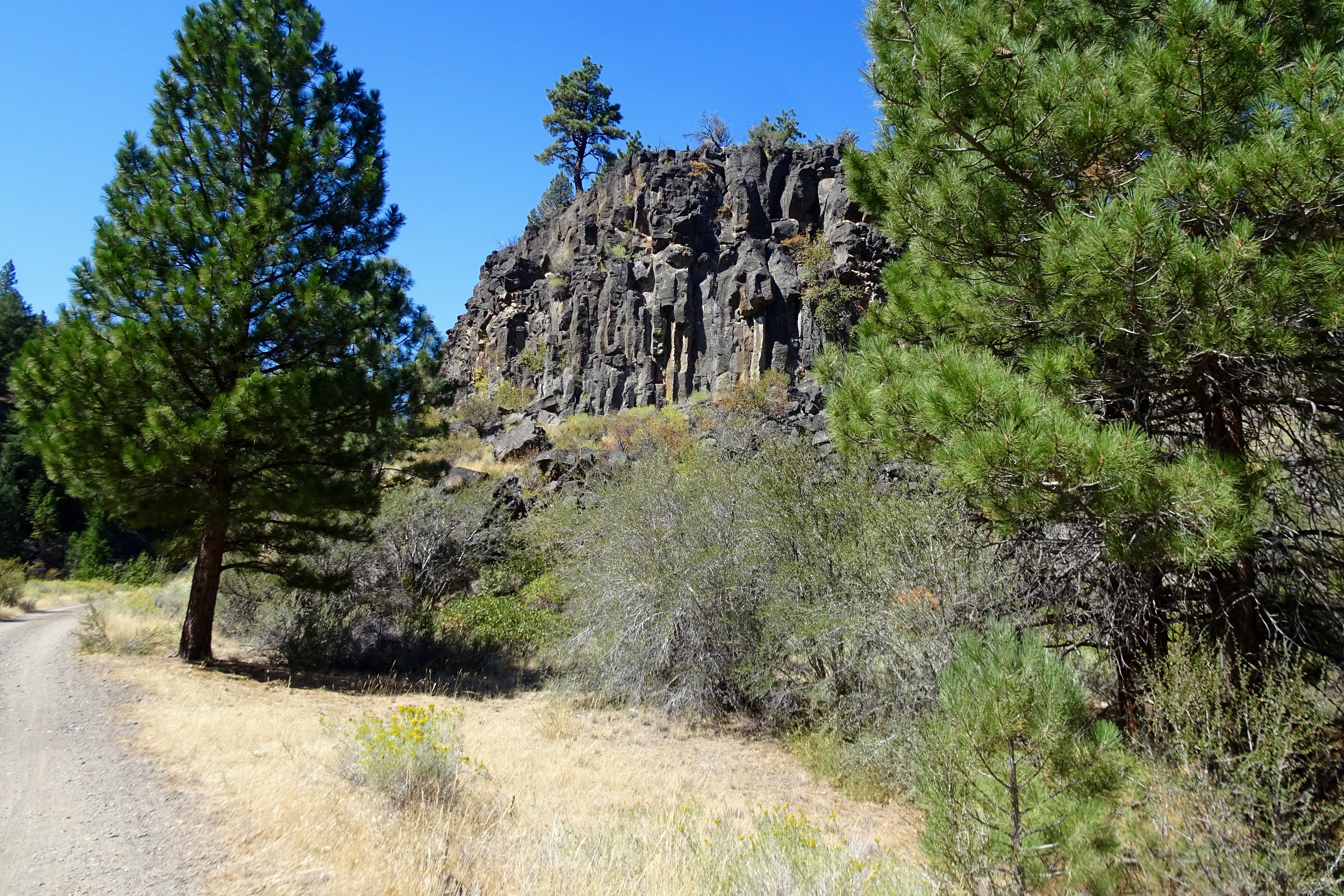
 A big pile of lava surrounded by forest:
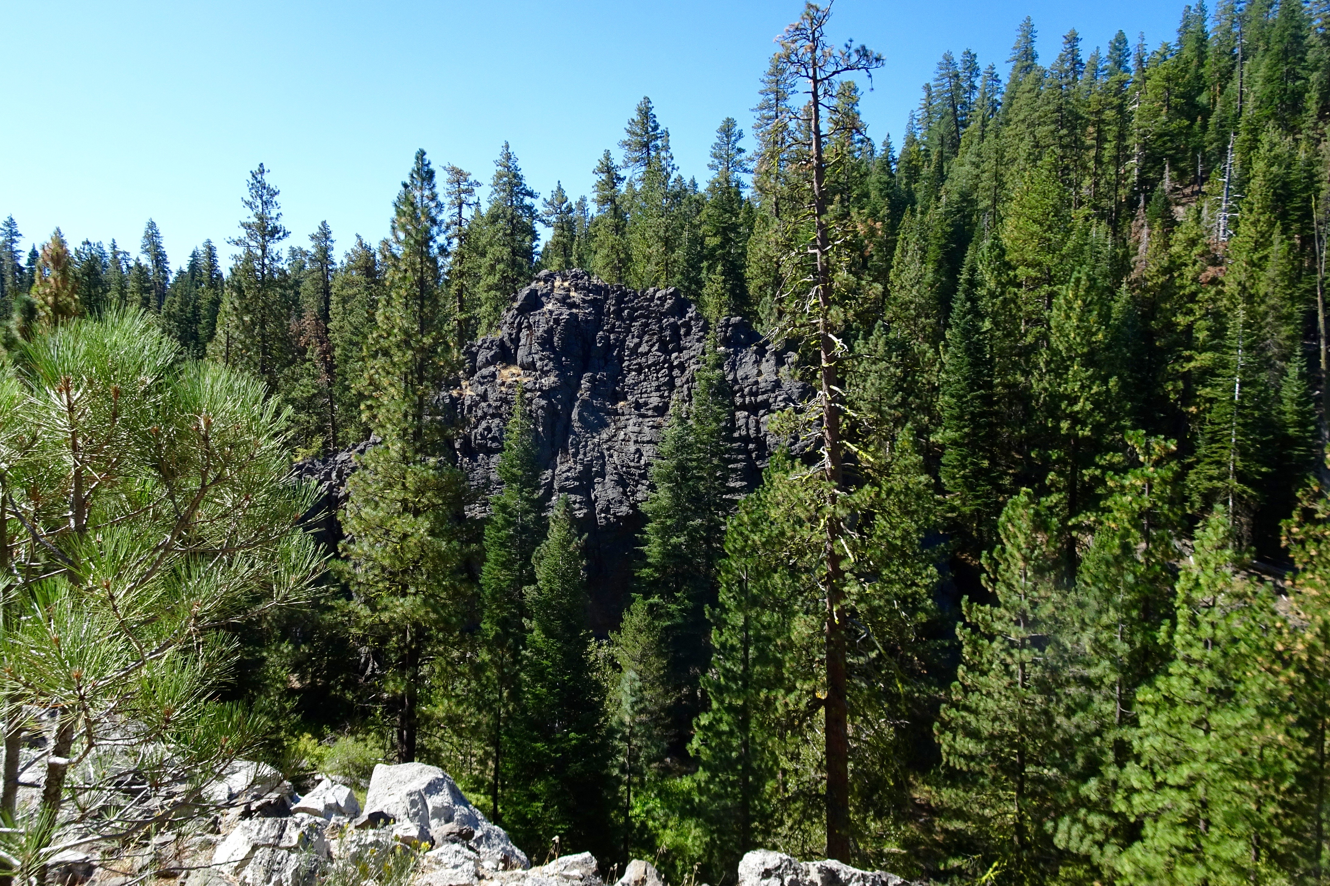 Three deer jumped out in front of us, ran halfway up the mountainside, and turned to watch us.
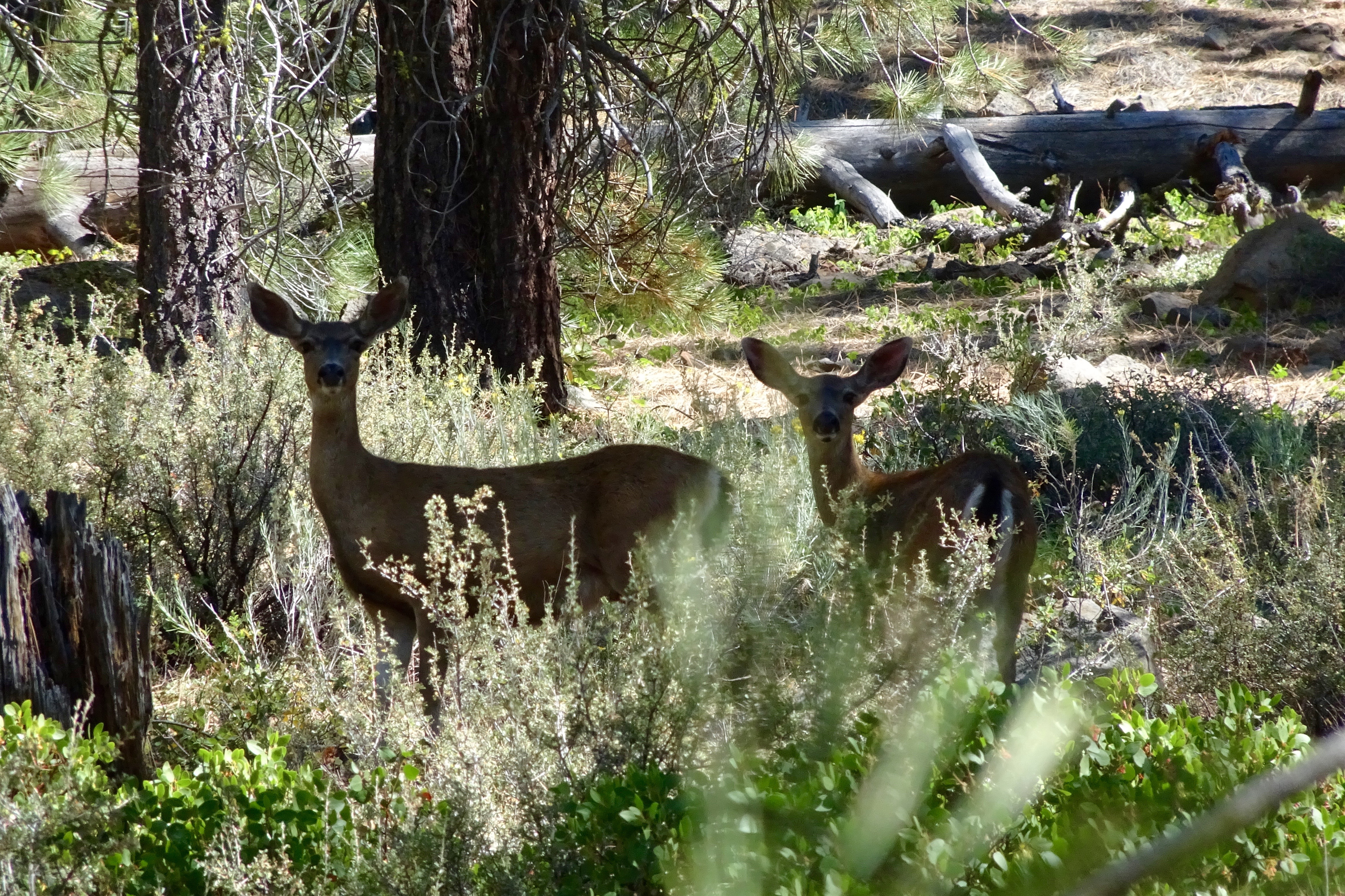
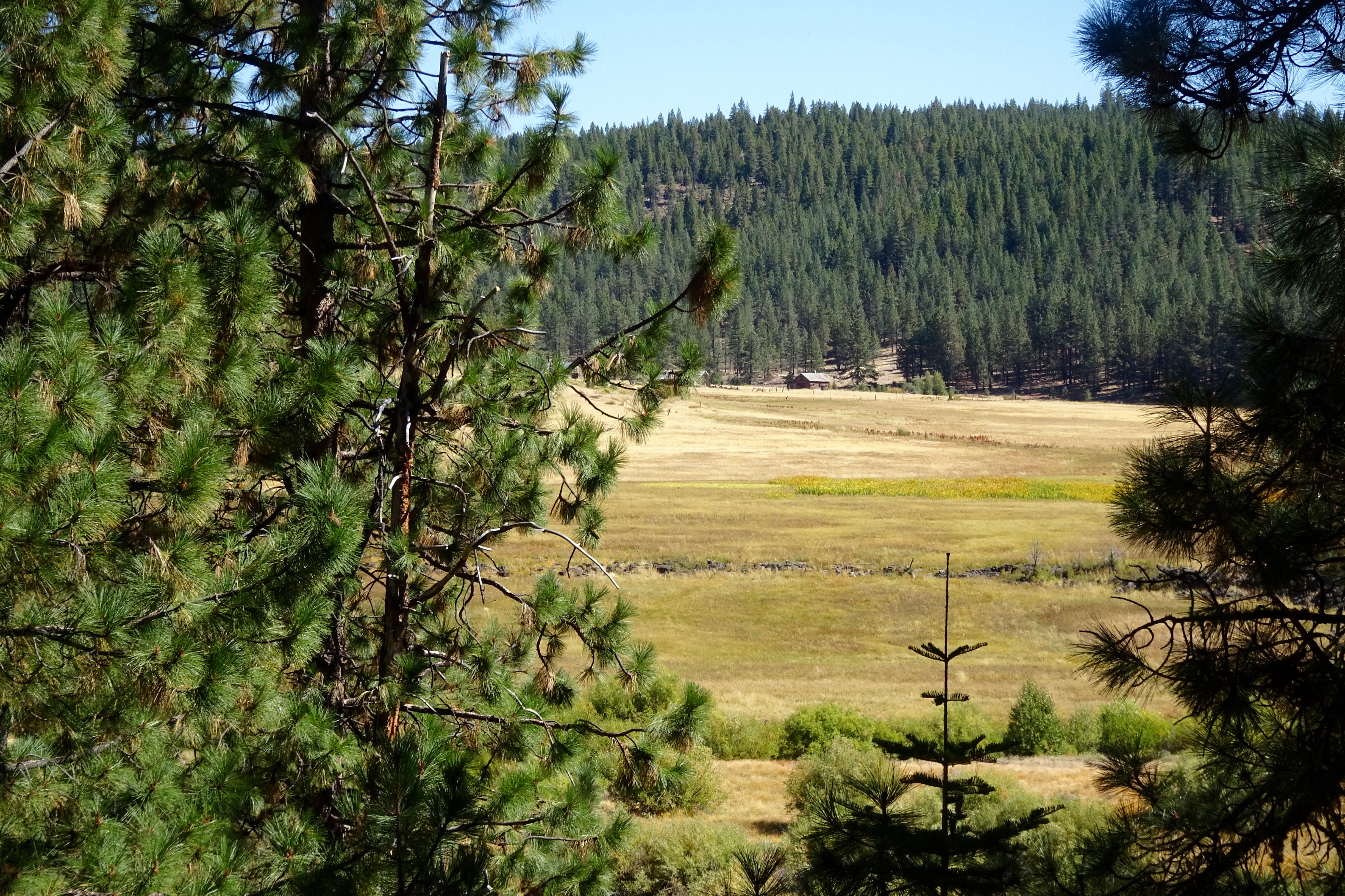
 The Diamond Range in the distance, the informal boundary between the Cascade Range and the Sierra Nevadas:
 We stood on the new trestle at Devil’s Corral and looked down at the old crumbling highway,
 the river farther down,
 and a squirrel neatly perched about 60 feet from the ground working intently on a pine cone.
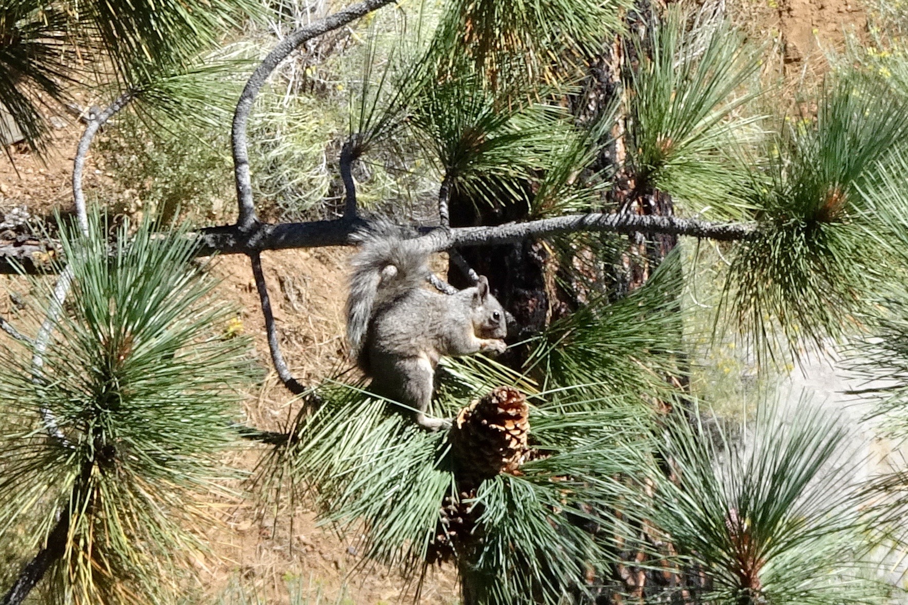 The new trestle:
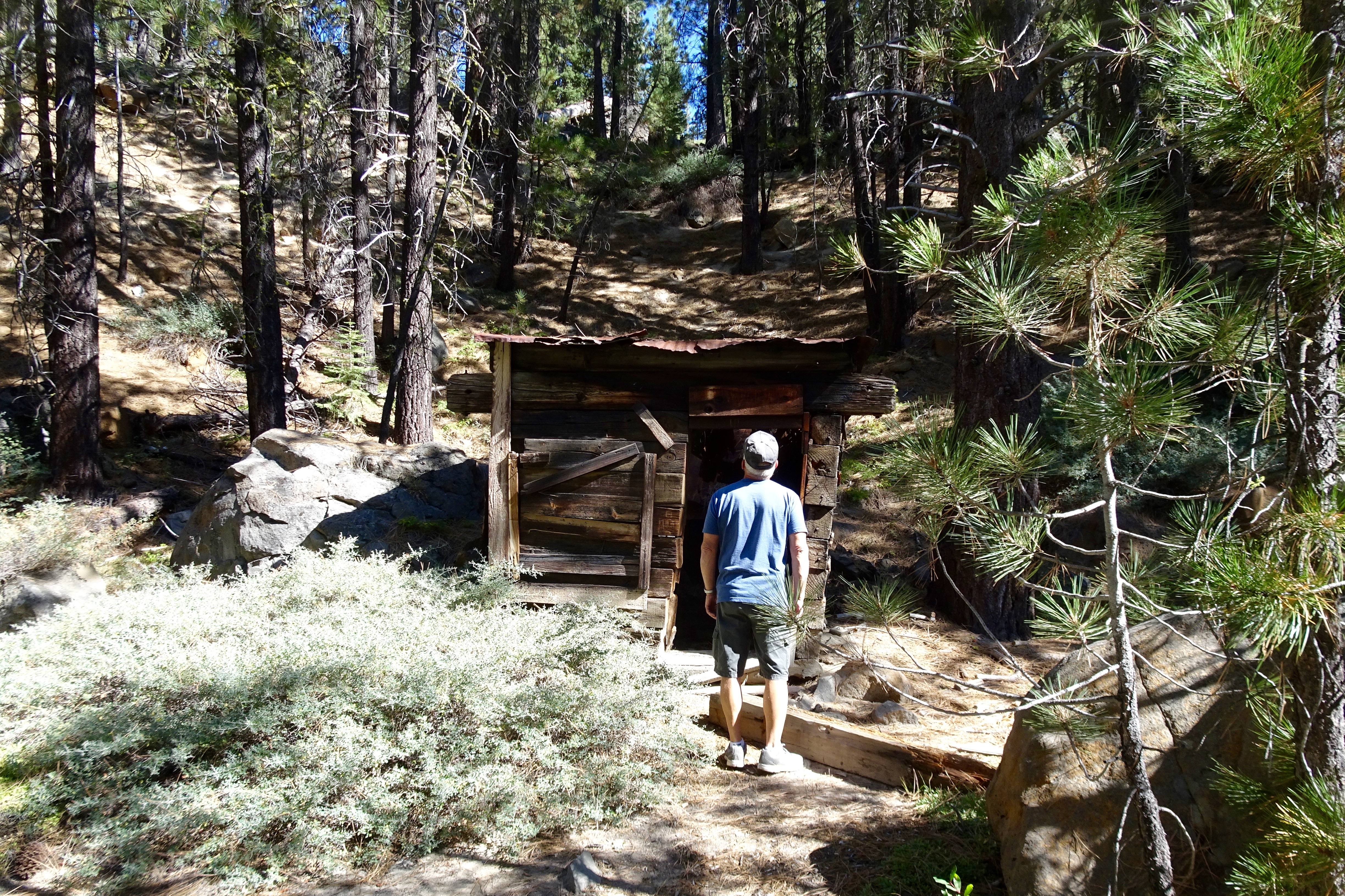
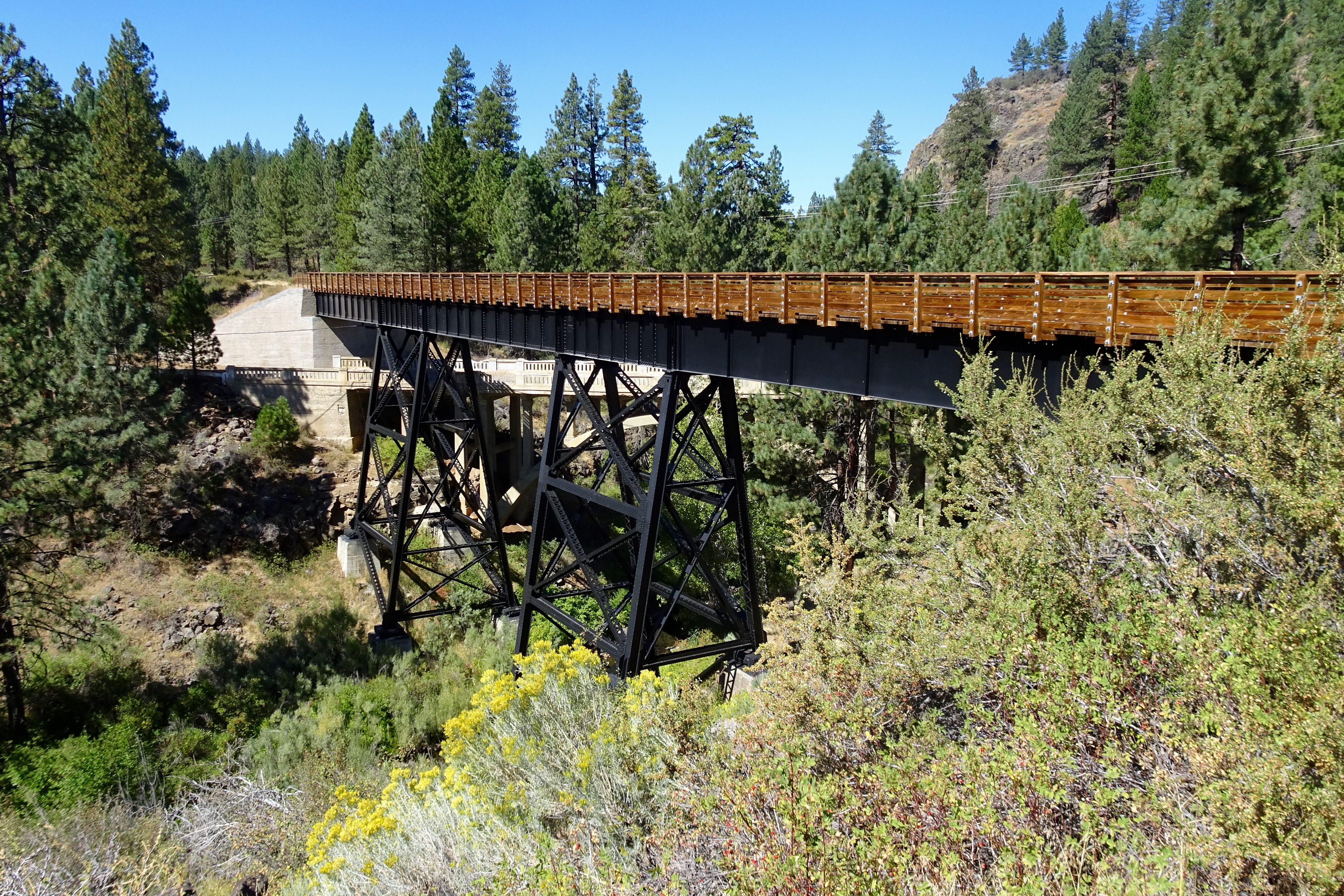 There were some gates along the trail. Thankfully, there was only one like this:
 There were two tunnels.
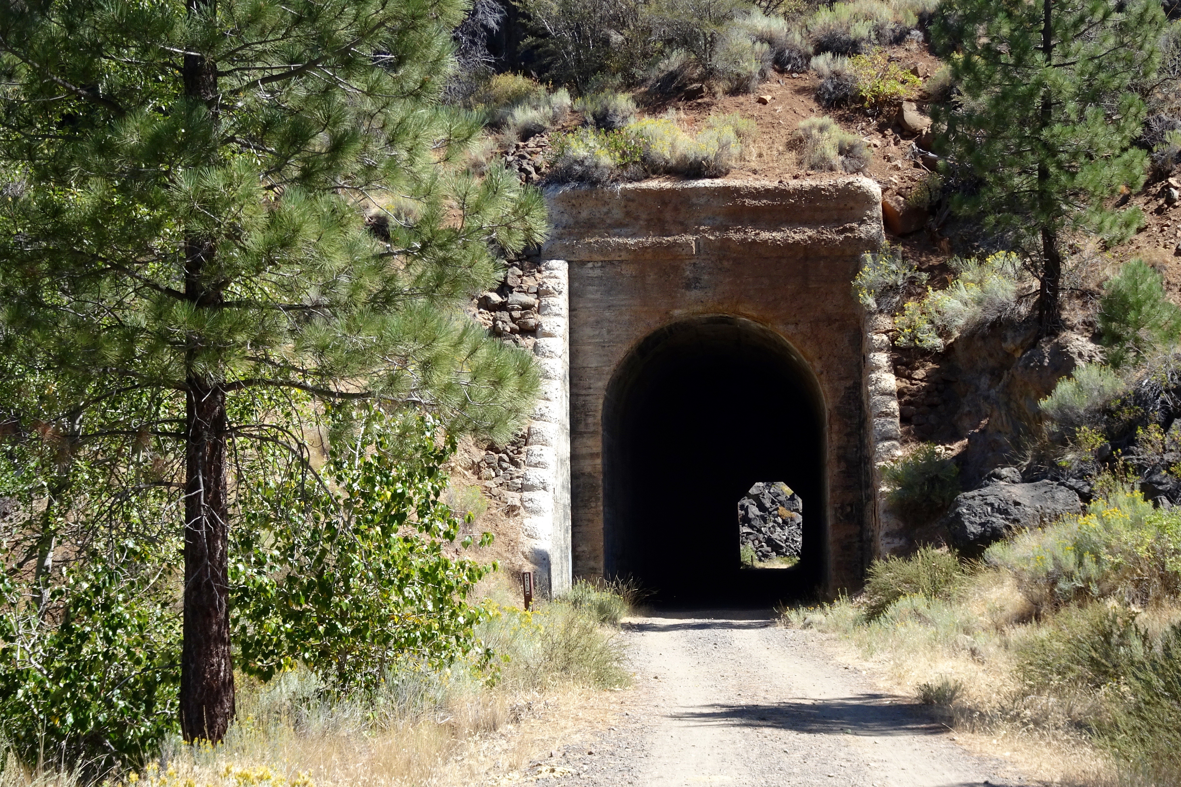 It was amazingly cold inside the tunnels.
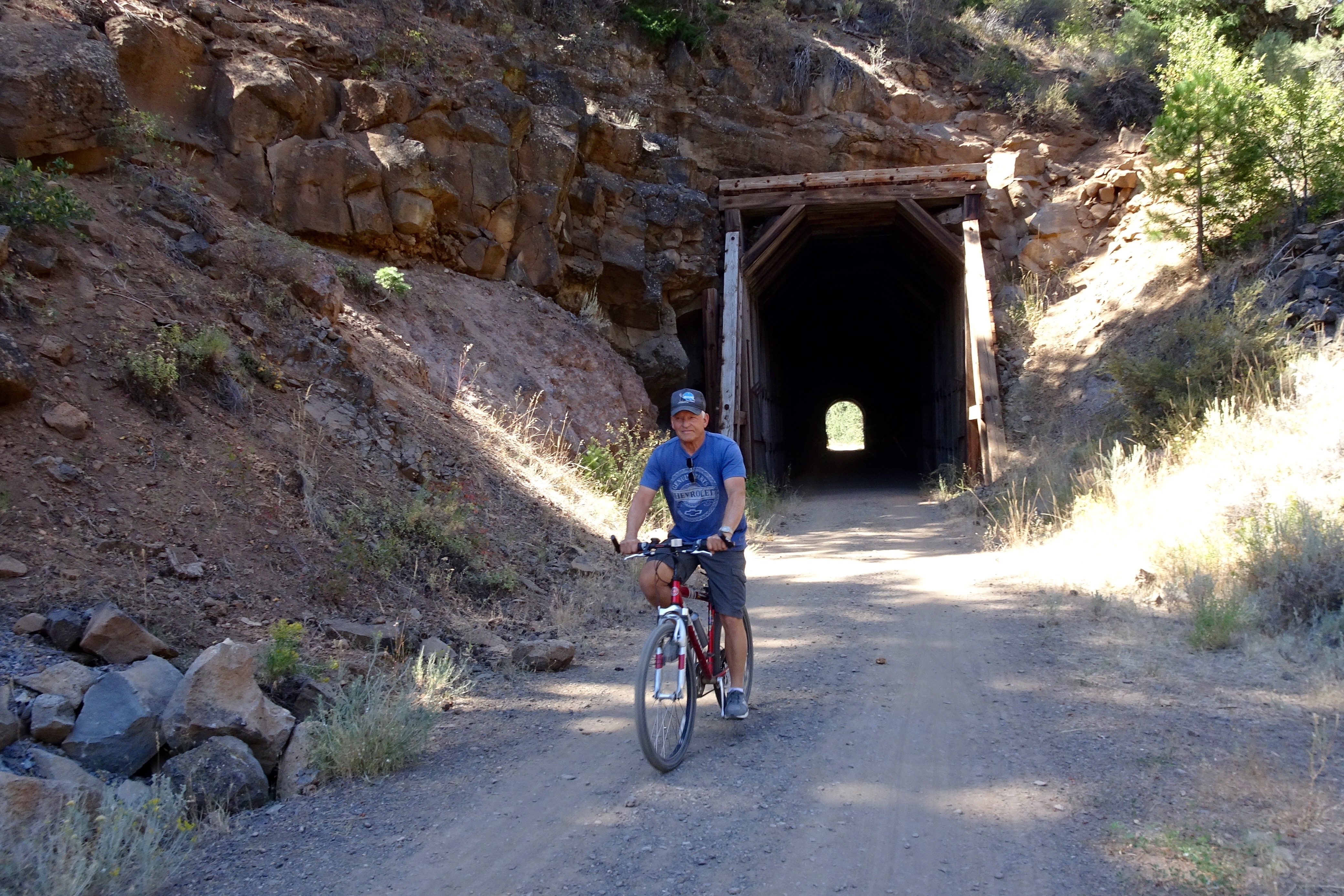

 The Susan River near Hobo Camp:
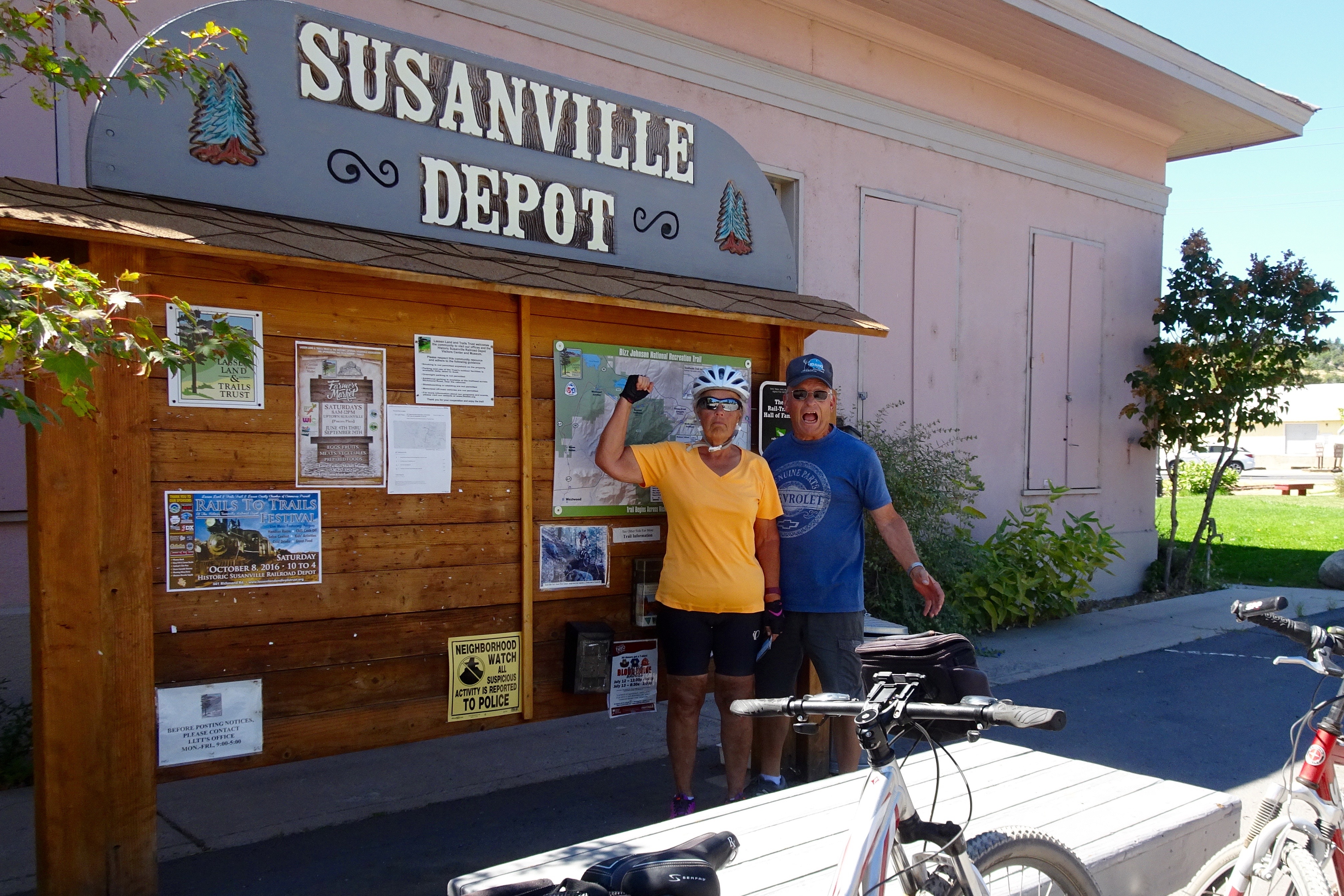
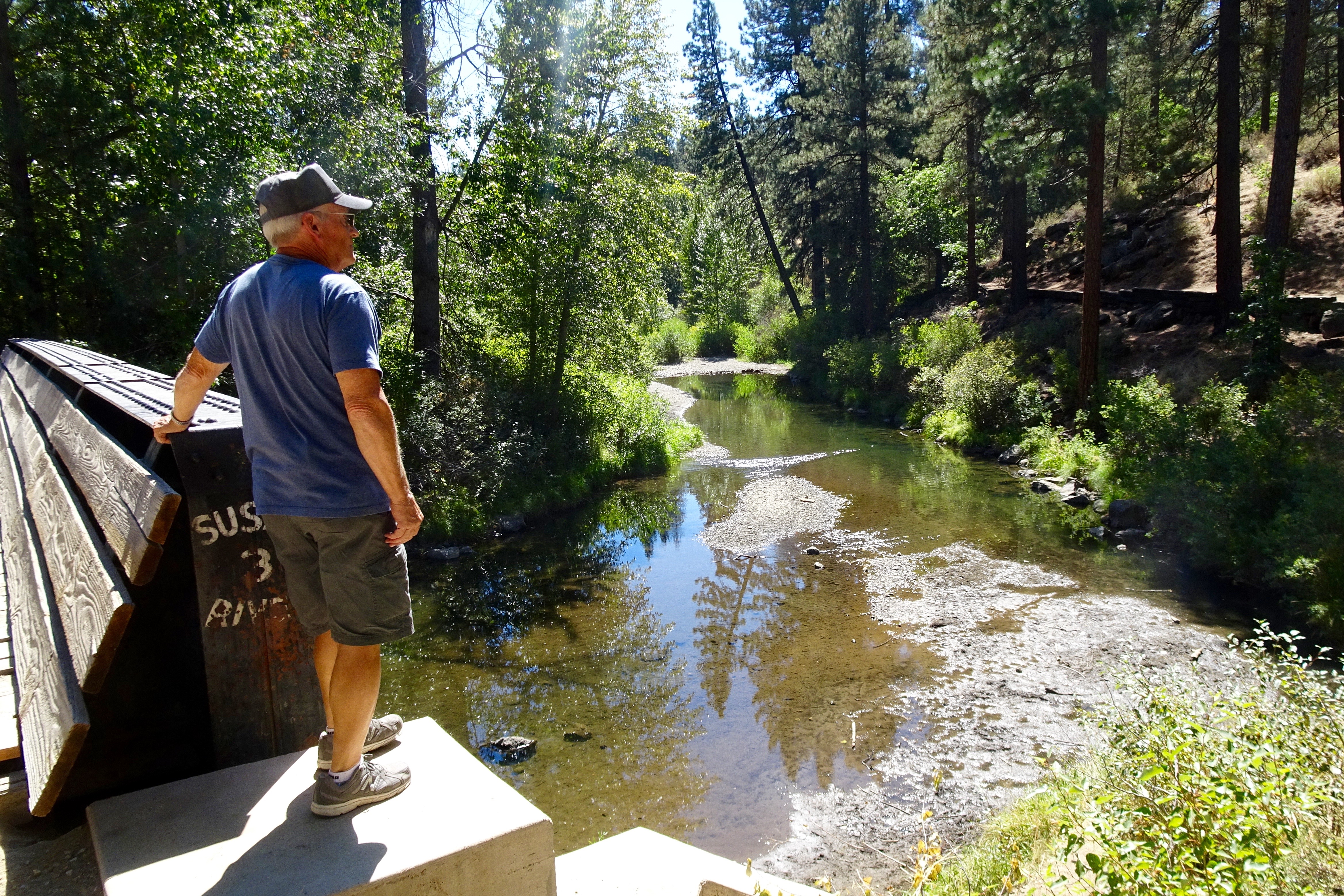 We made it! Thank you Dave for going on this adventure with me. At 25 miles, this was Dave’s longest ride!