I was able to leave my packed-up car in the driveway while I went for a ride. I headed east first.
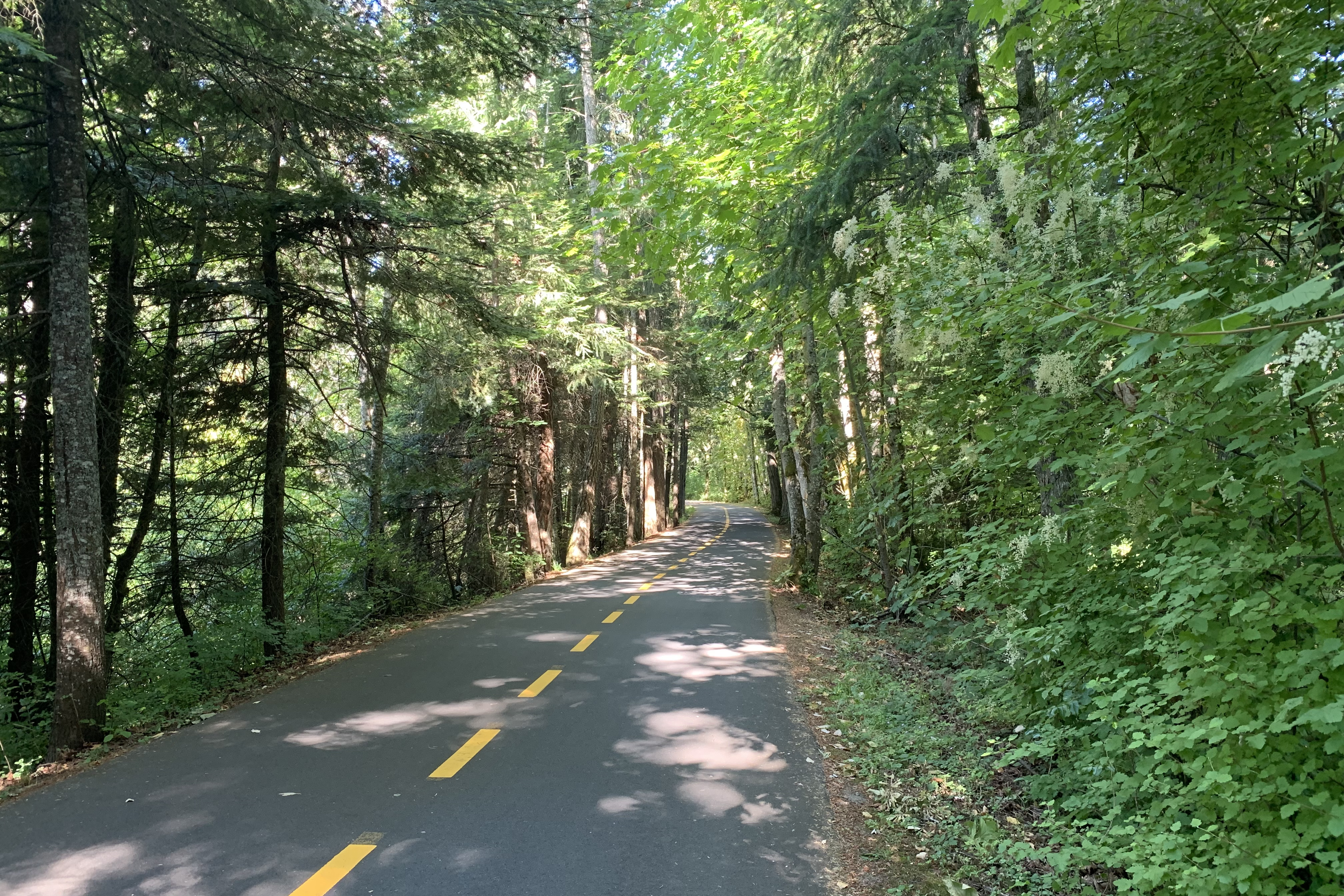
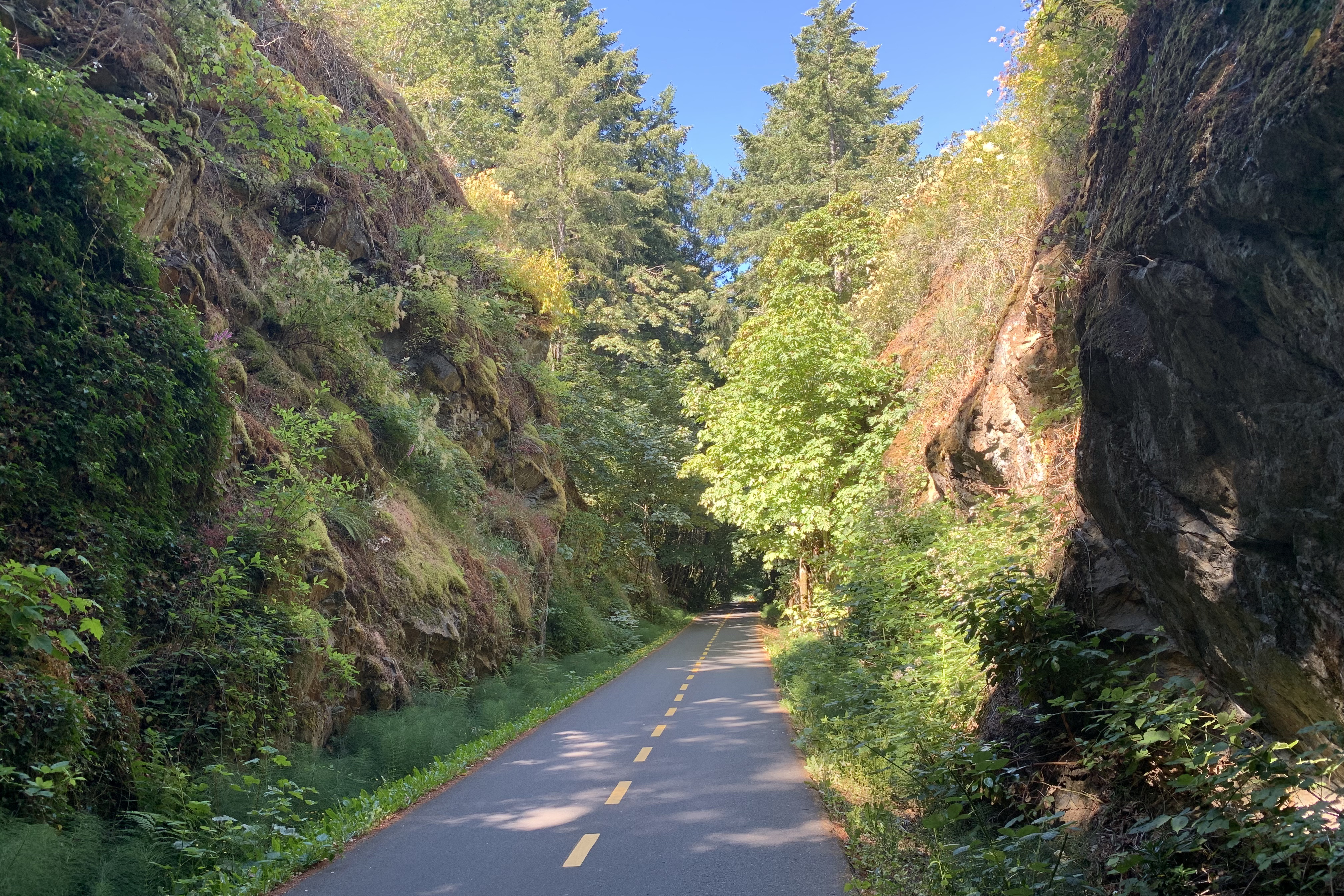
The paved trail ended, but it was still rideable.
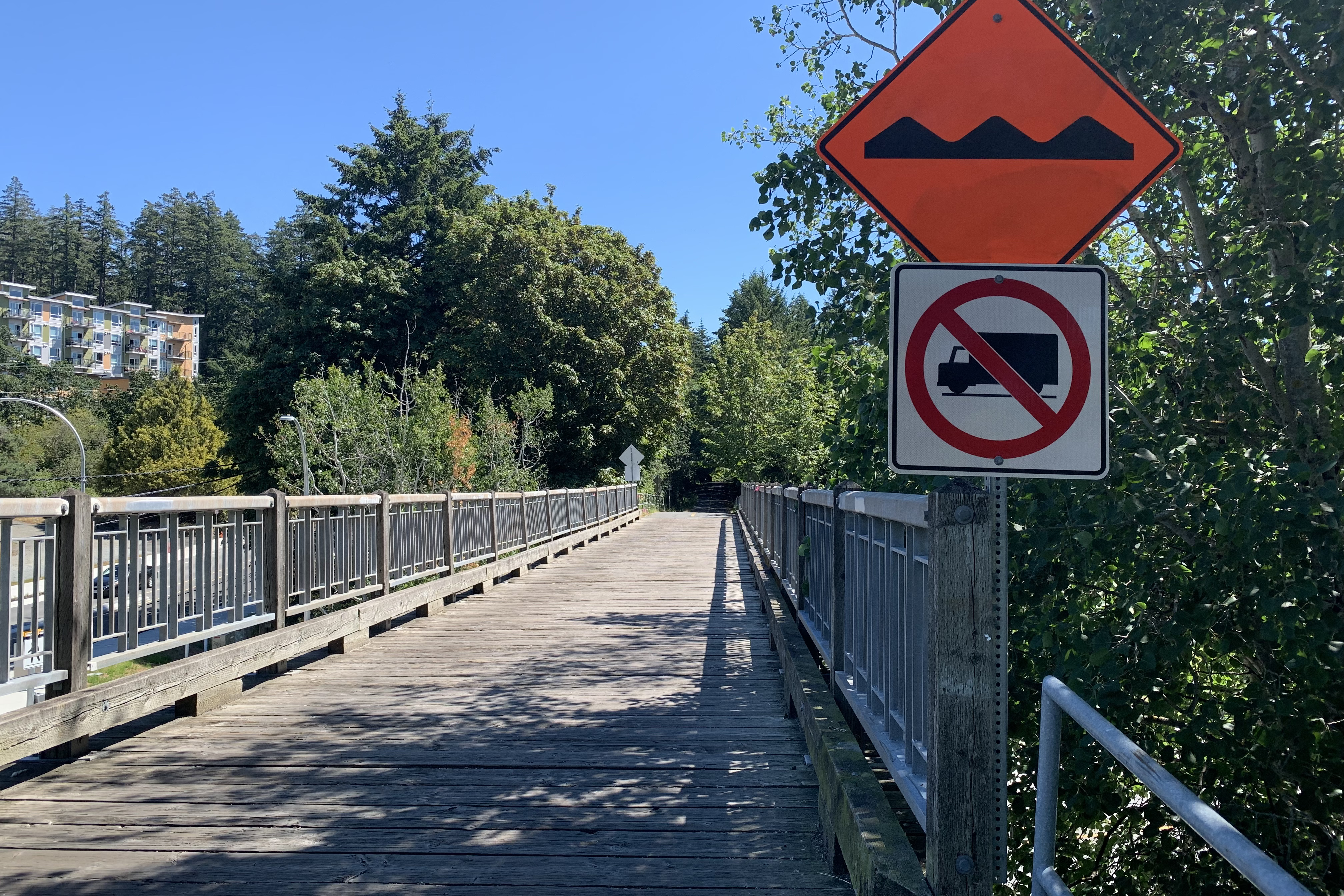
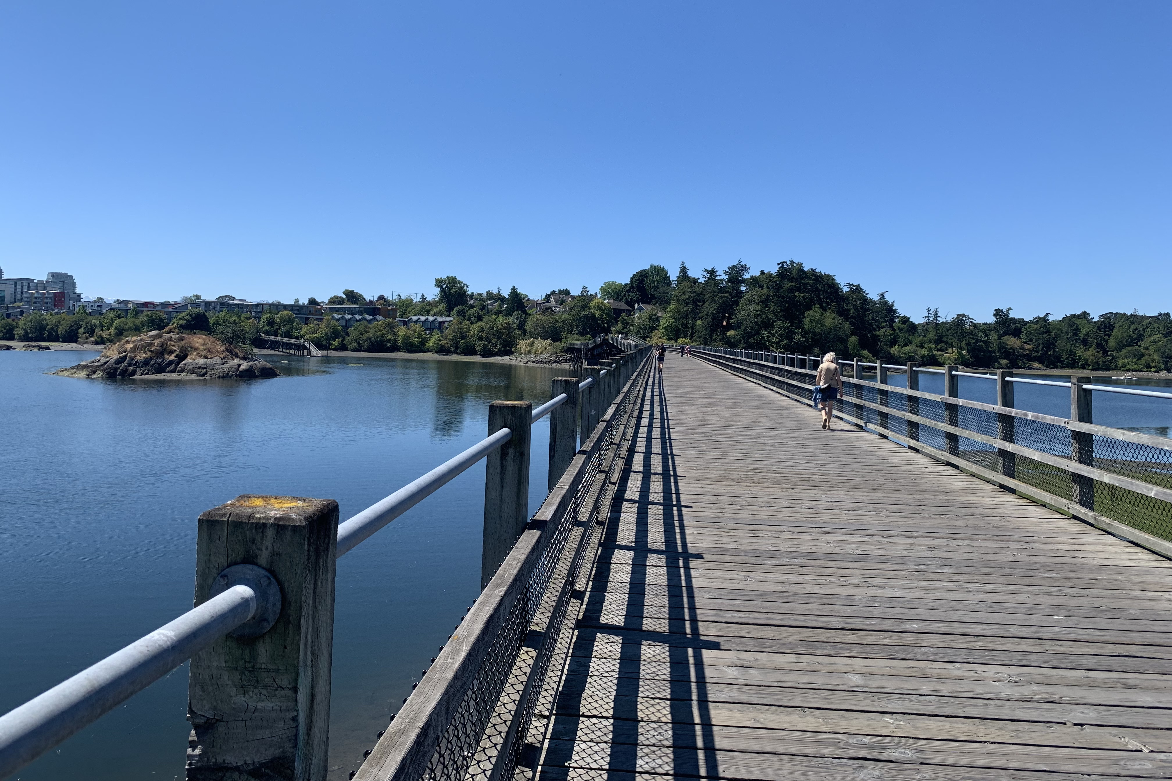
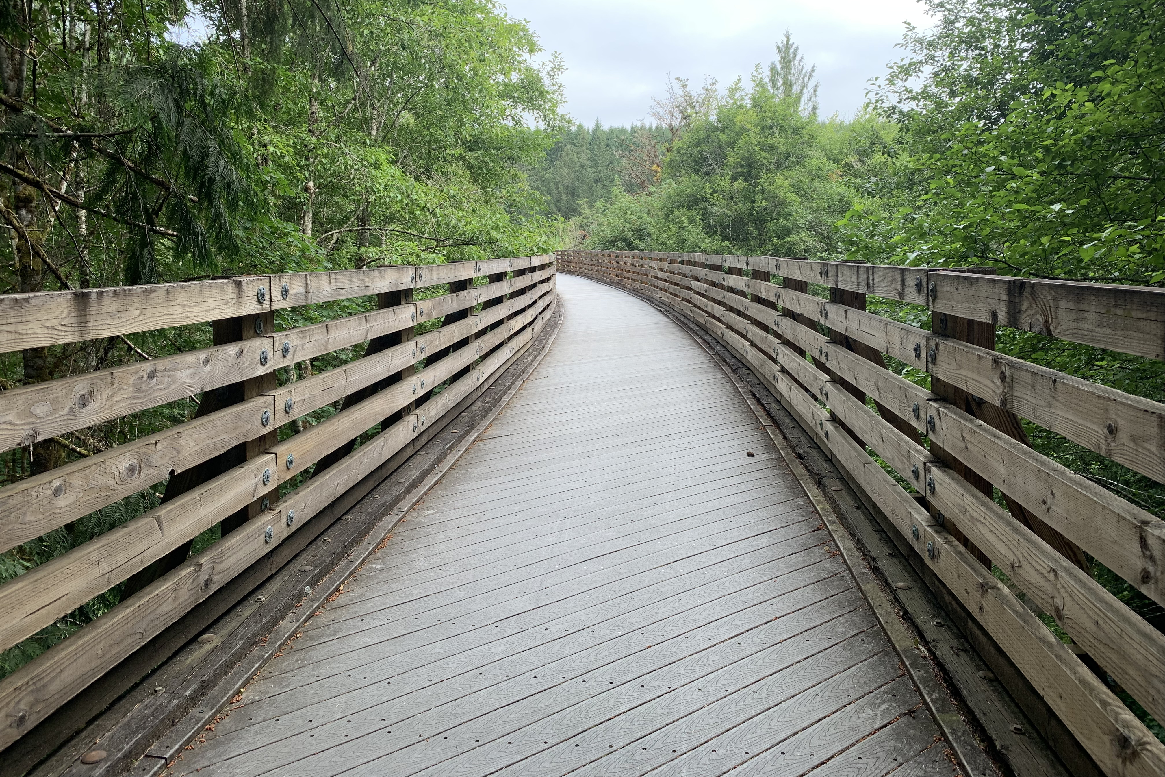
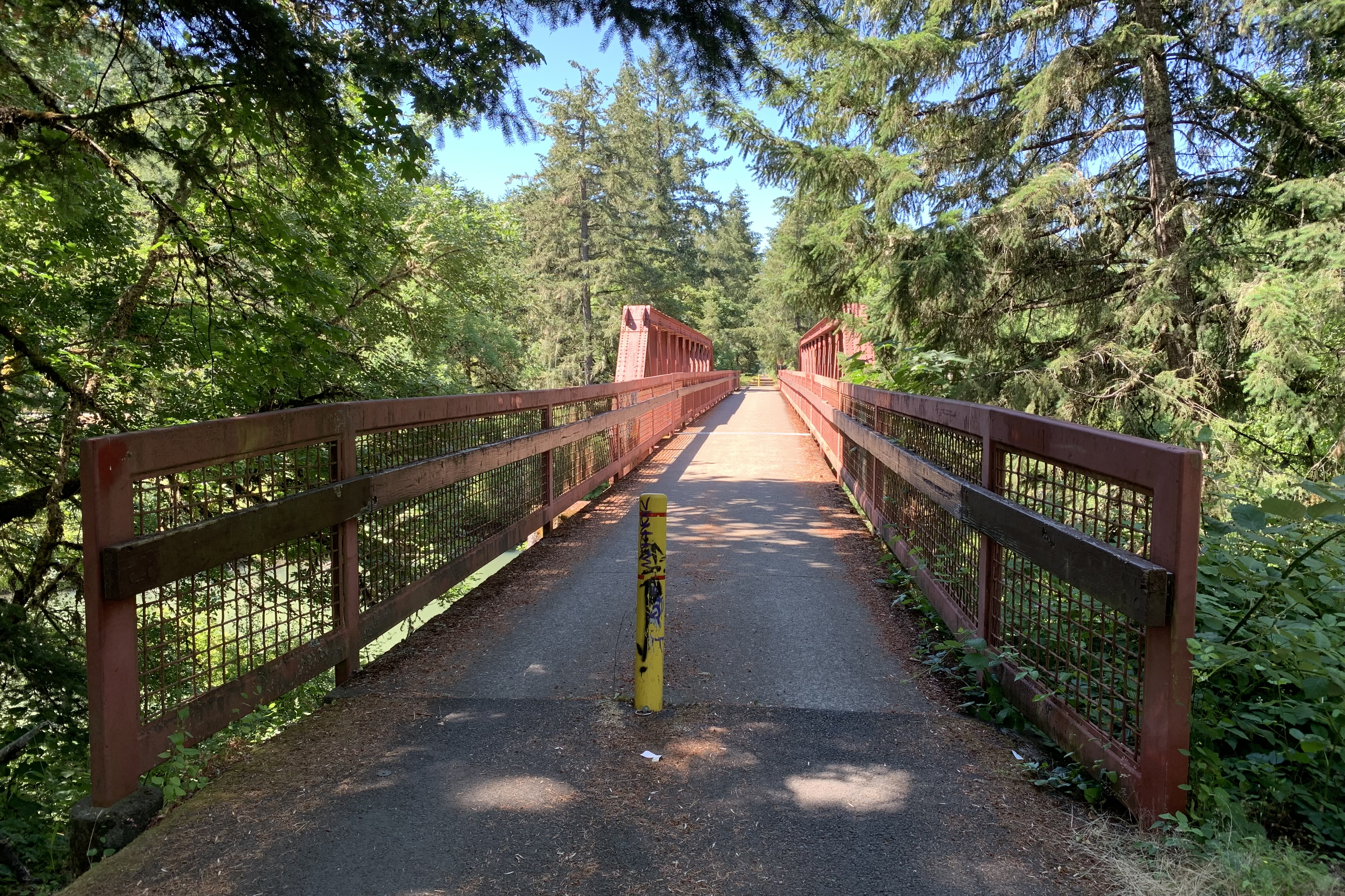
No trucks on the bumpy wooden bridge – good idea!
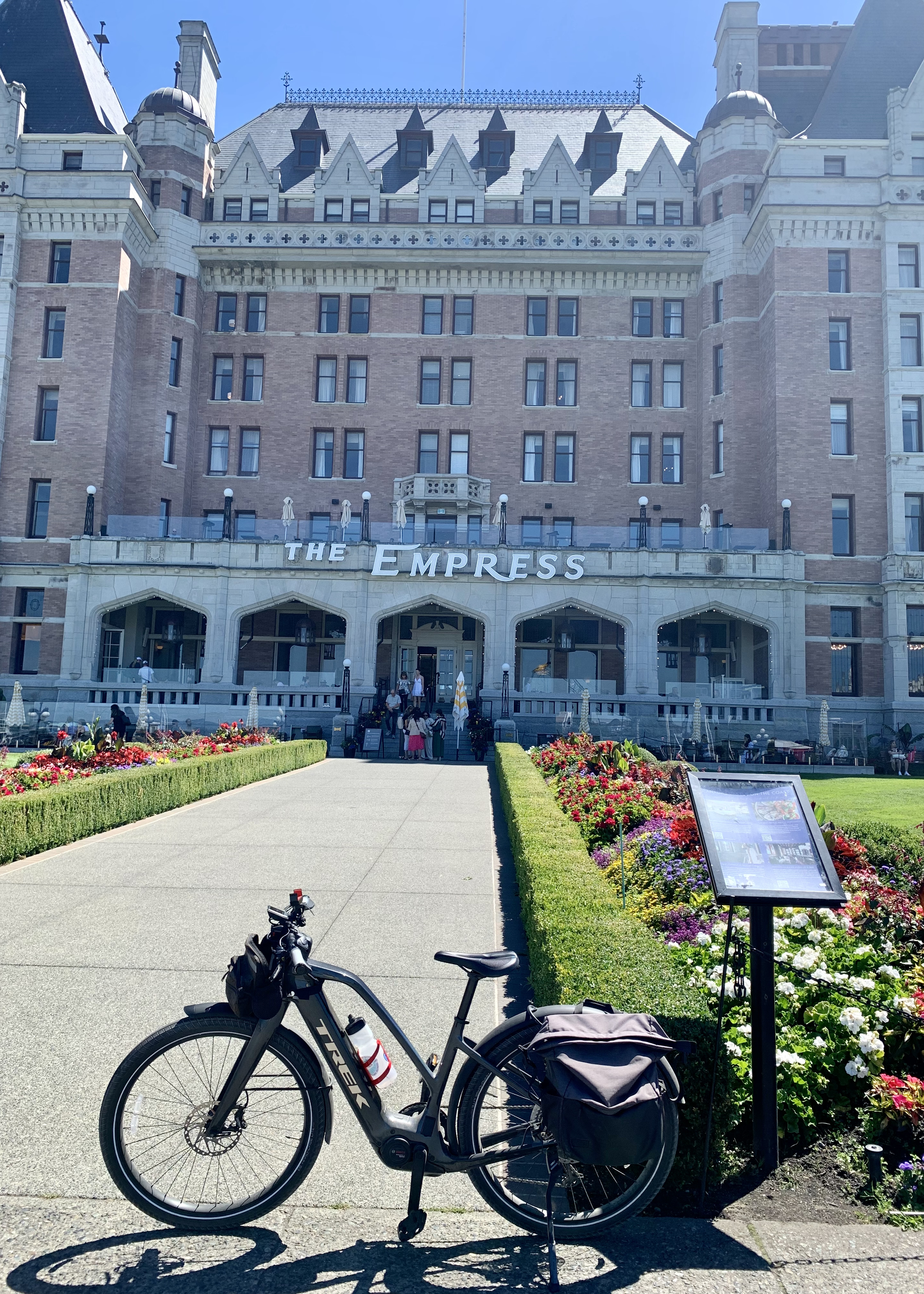
I turned around after 9 miles and headed back but continued on to get more miles. At a fork in the trail, a sign pointed to downtown Victoria. and the Empress Hotel and Inner Harbor were just 3 miles away. Let’s go!
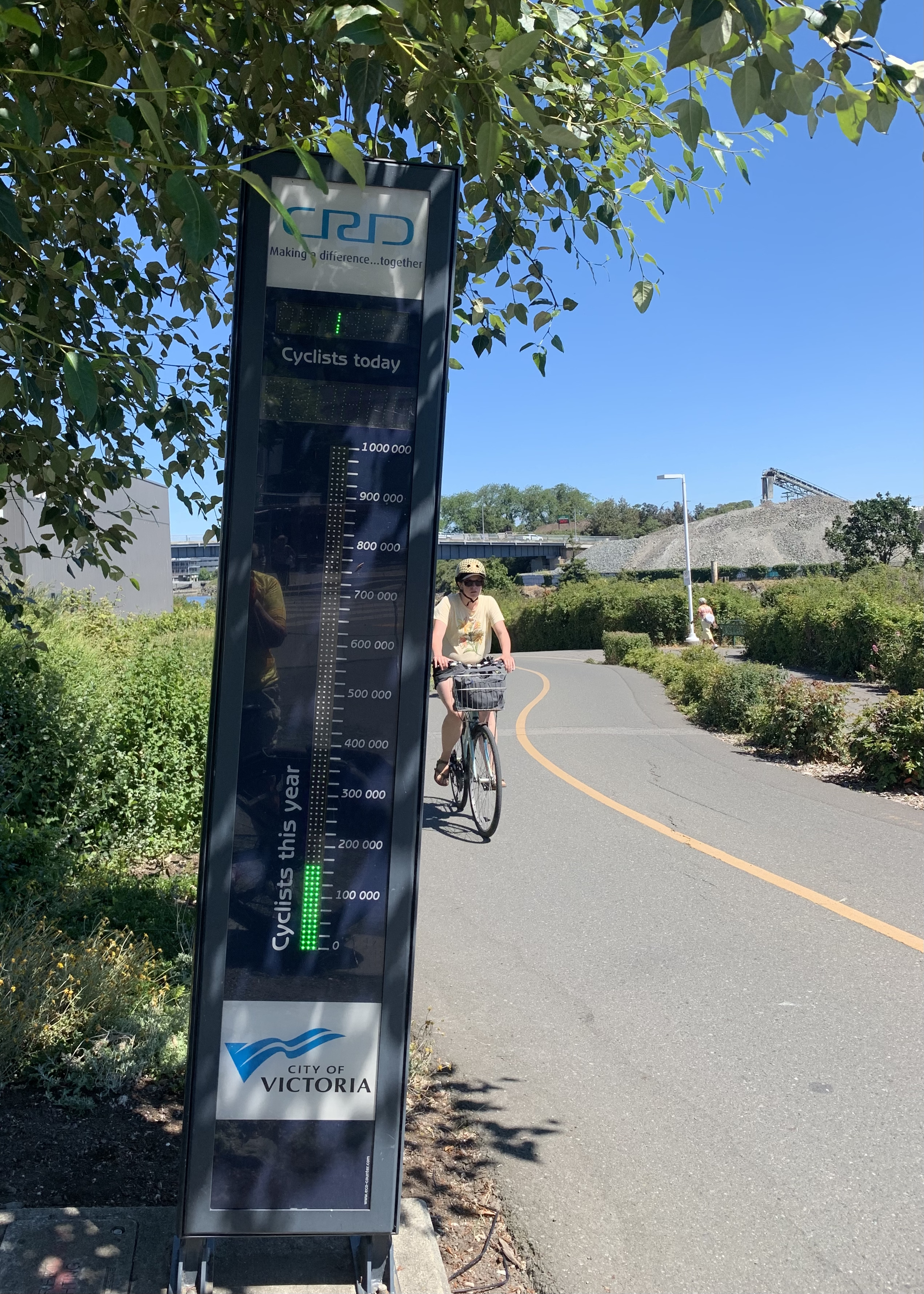
A bicycle counter! At 11:30 am, 1180 bicycles had already passed by.
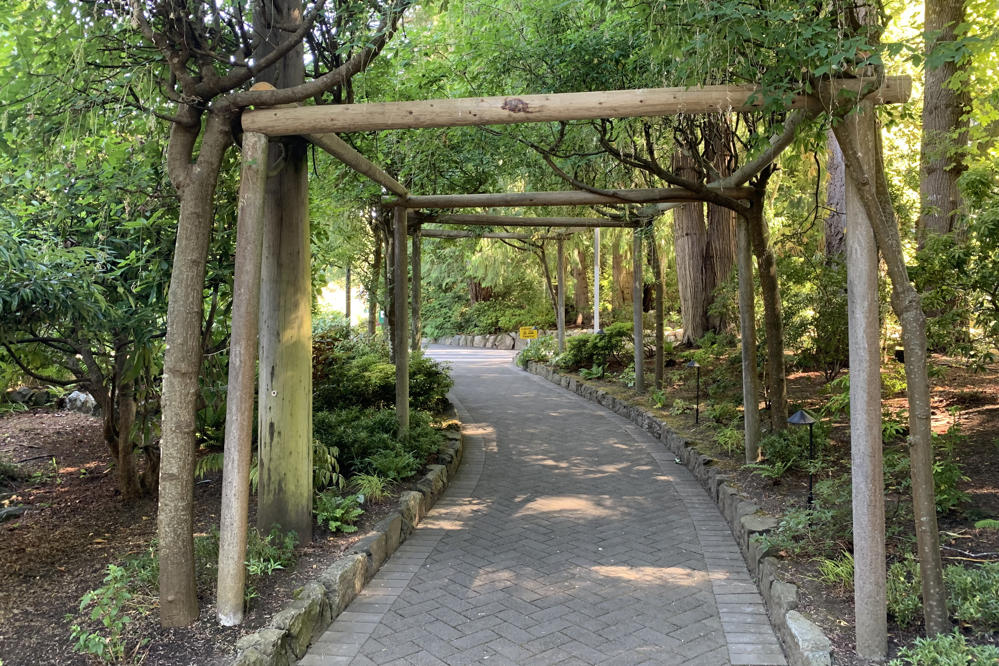
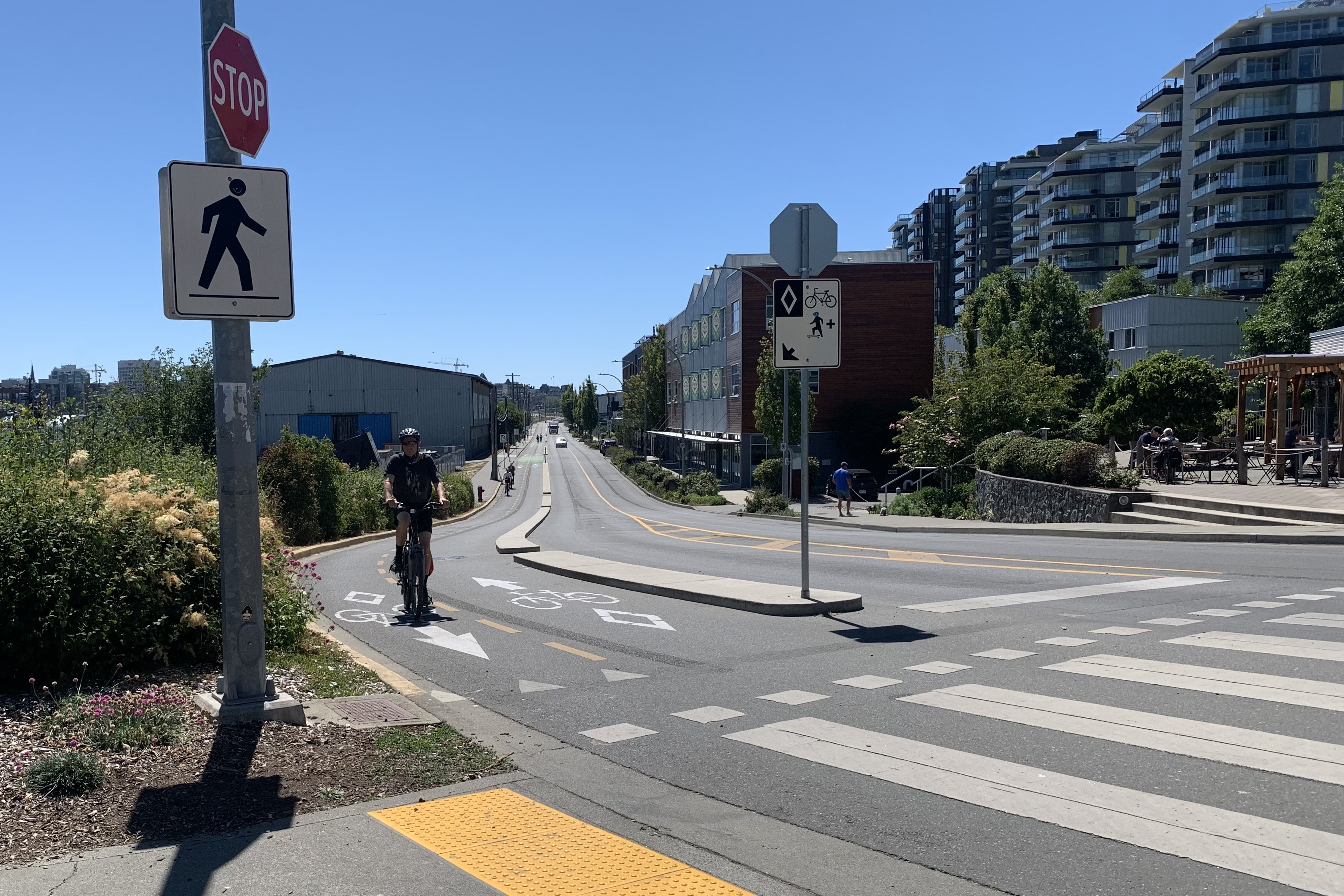
Cycle tracks made riding in the city so safe.
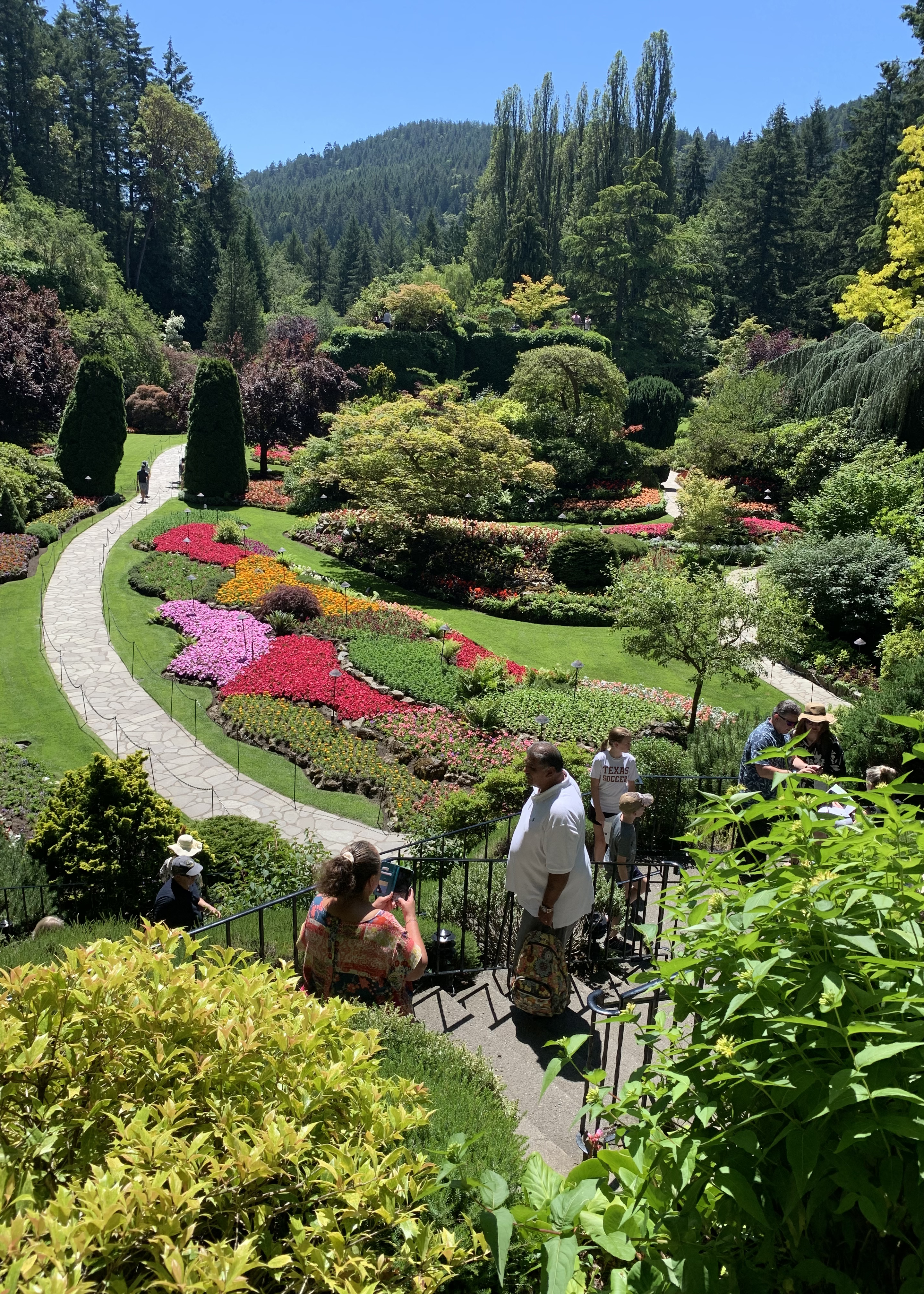
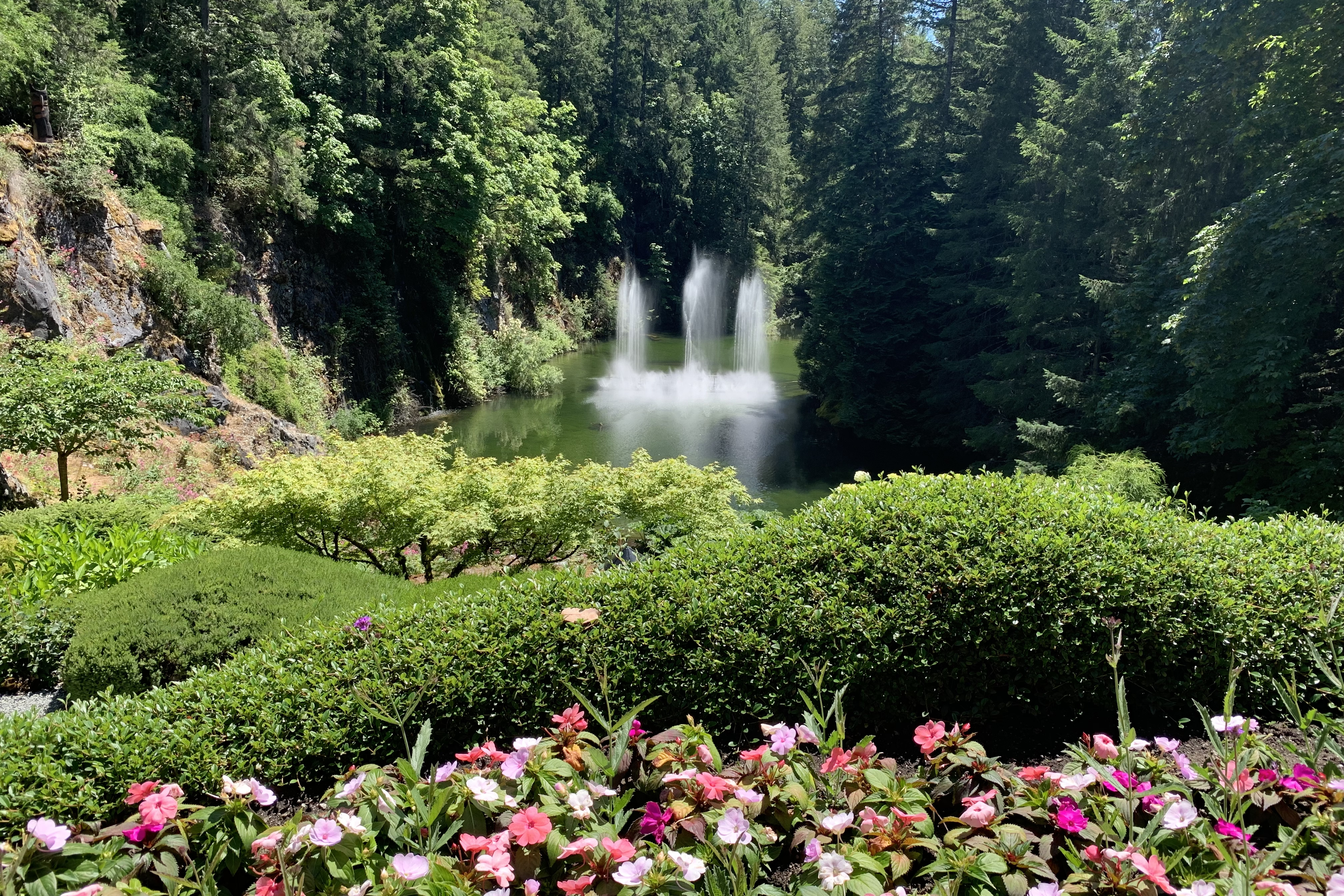
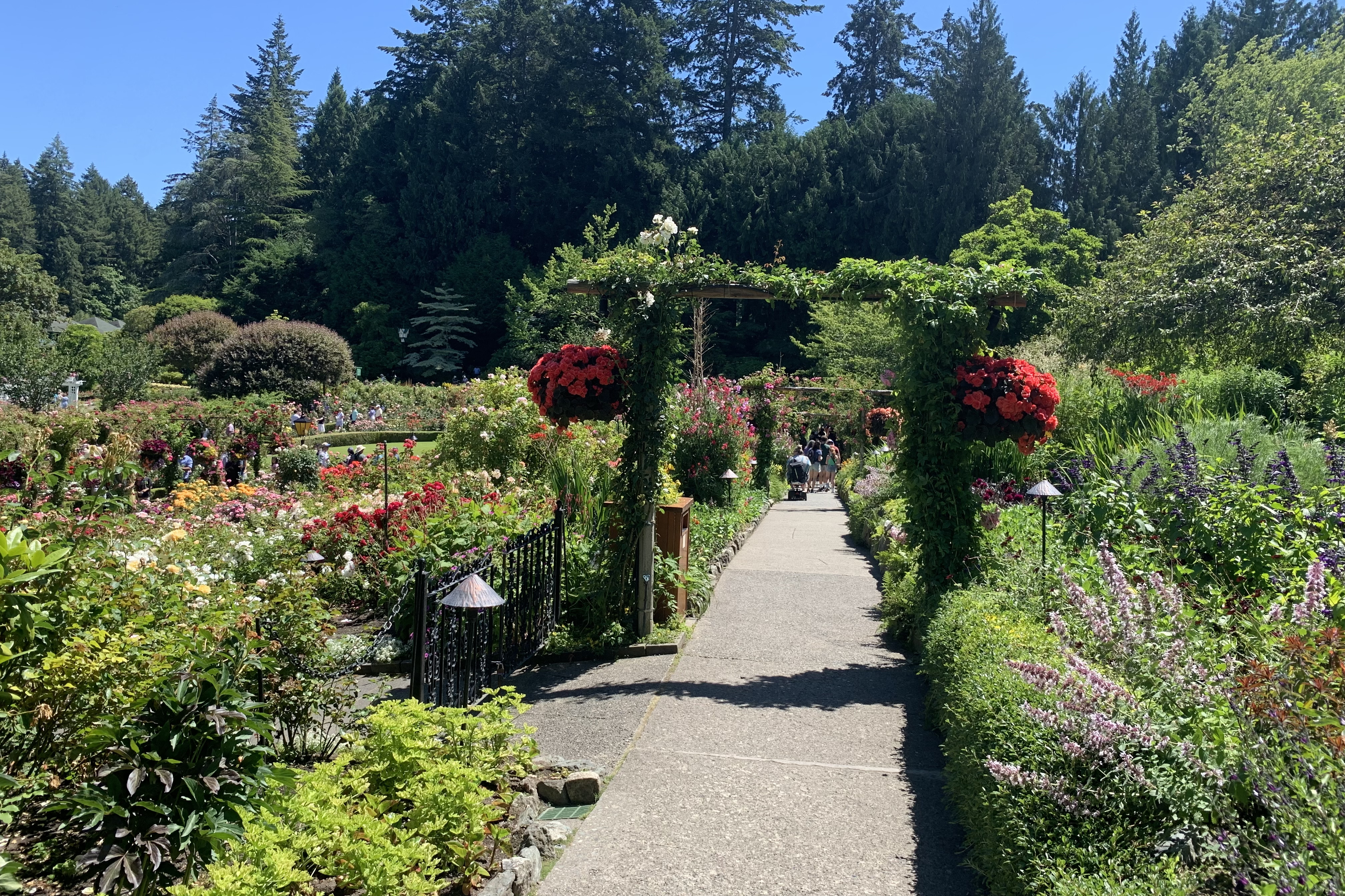
No high tea for me. Time to ride back, load the bike, and drive to The Butchart Gardens.
Last night I made myself anxious about getting to Victoria today. I wanted to go through Port Angeles, a 2 1/2 hour drive from Lacey WA, but there were no ferry departure times in mid-afternoon. There was a ferry at 5:15, but there were no reserved spaces left. The alternate choice was to drive to the Tsawassan Ferry Terminal, the ferries left every hour and reservations were available. Tsawassan was a 3 1/2 hour drive, through the Seattle/Tacoma corridor, and you must arrive one hour before the ferry leaves even if you have a reservation. The solution to all this was to NOT ride this morning and leave early. As I was checking out, the person behind the desk was also an Arlete (with 2 t’s), she was born in Mexico. I asked how she pronounced in Spanish, but there was no difference from how I pronounce my name.
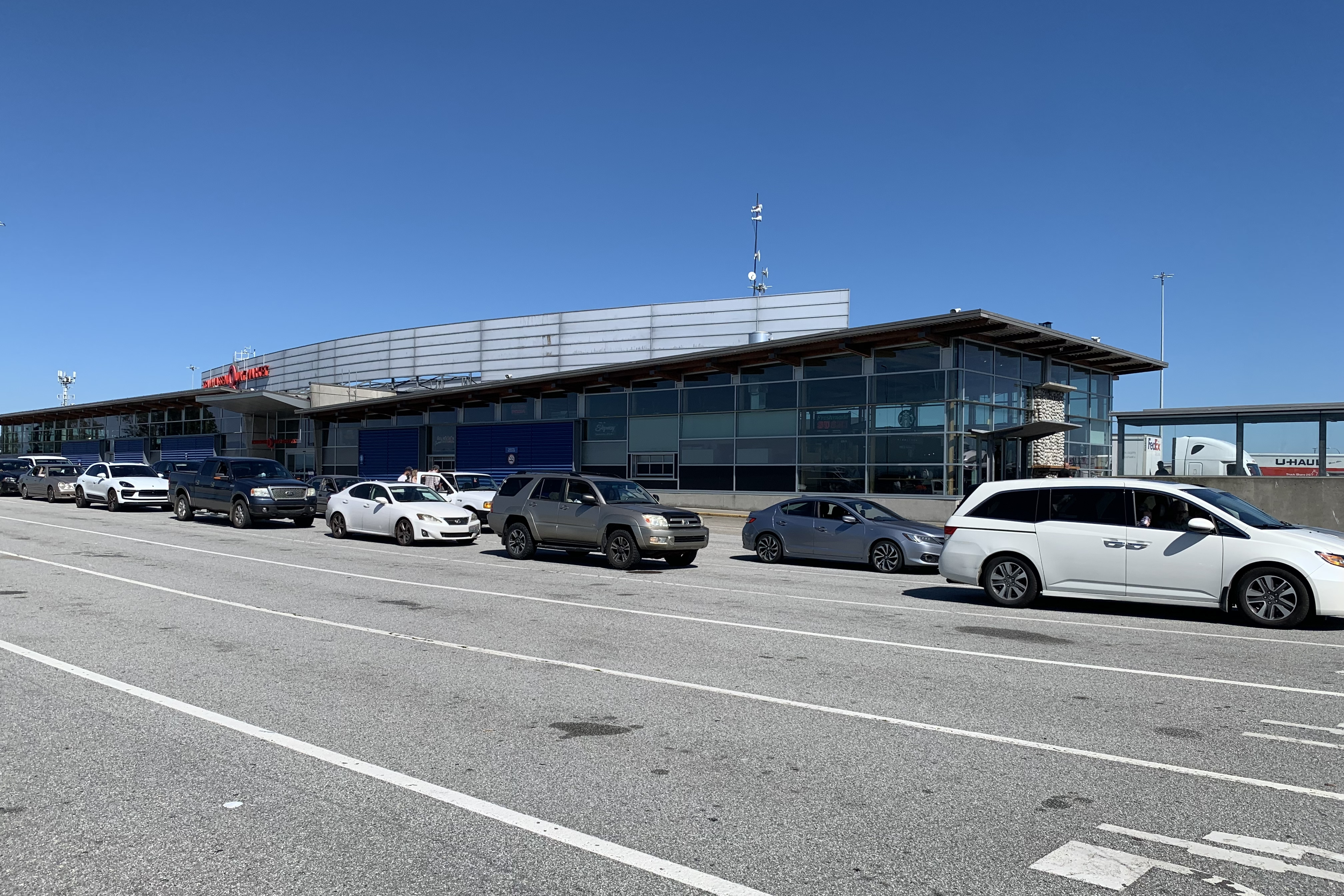
5 mph traffic for an hour through Everett WA made me glad I left early. I arrived more than an hour ahead of time. Many people lock their vehicles and walk to the food/shopping building:
Passenger vehicles on Deck 2. Big trucks on Deck 1.
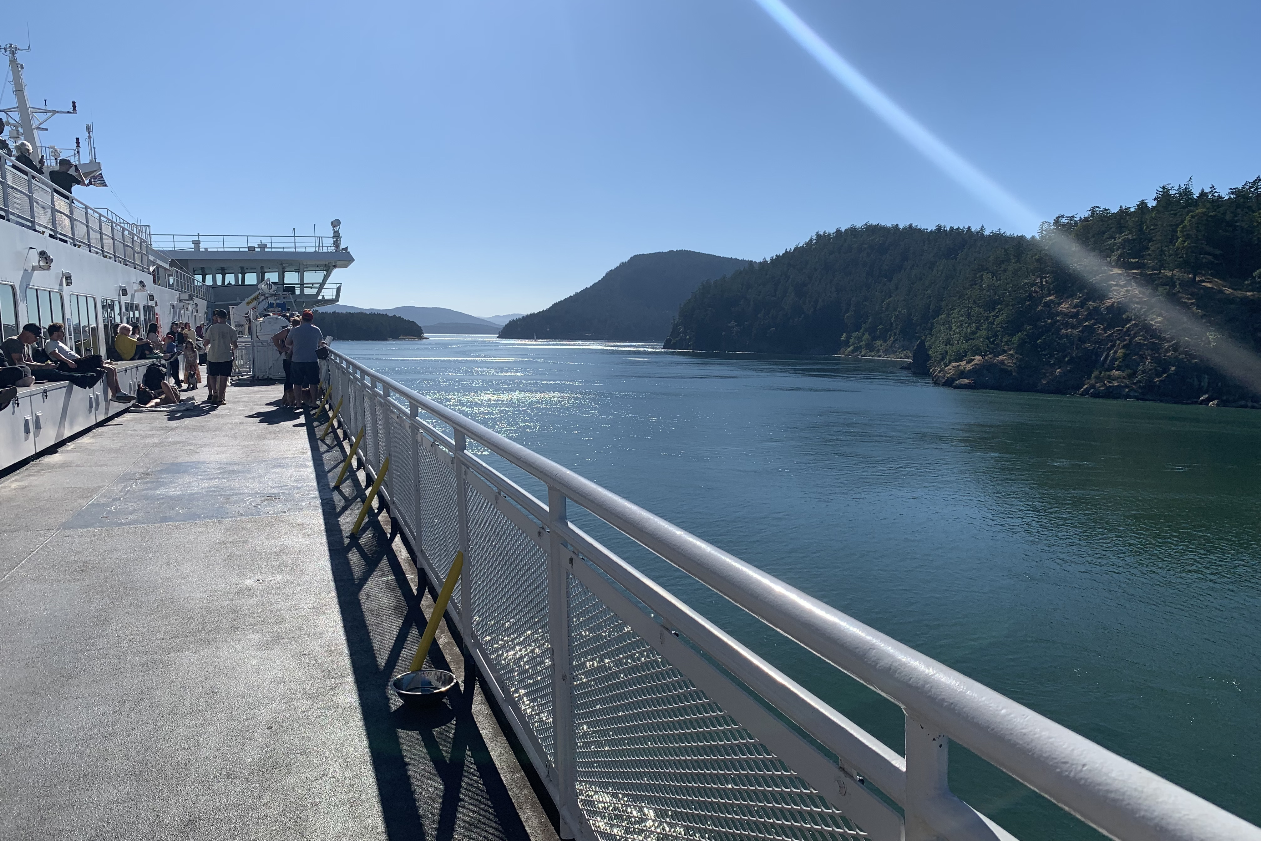
The ferry to Swartz Bay took 1 1/2 hours and wound between many scattered islands
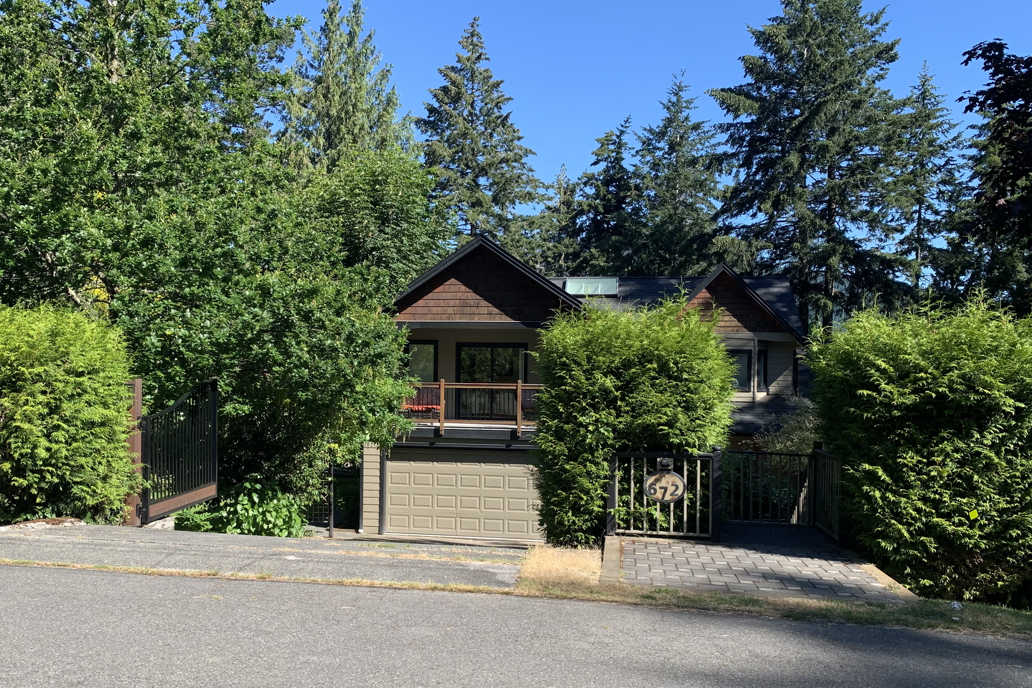
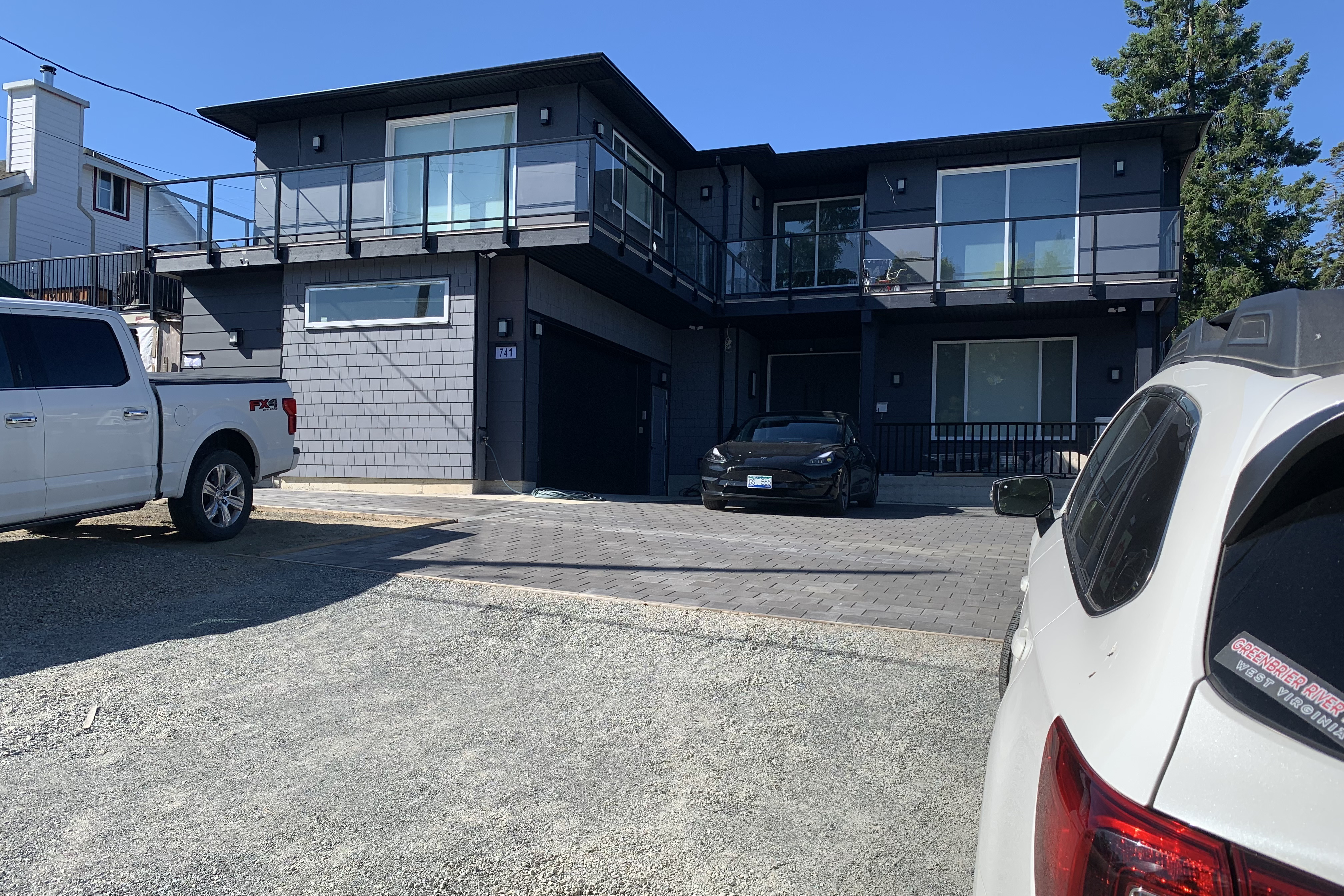
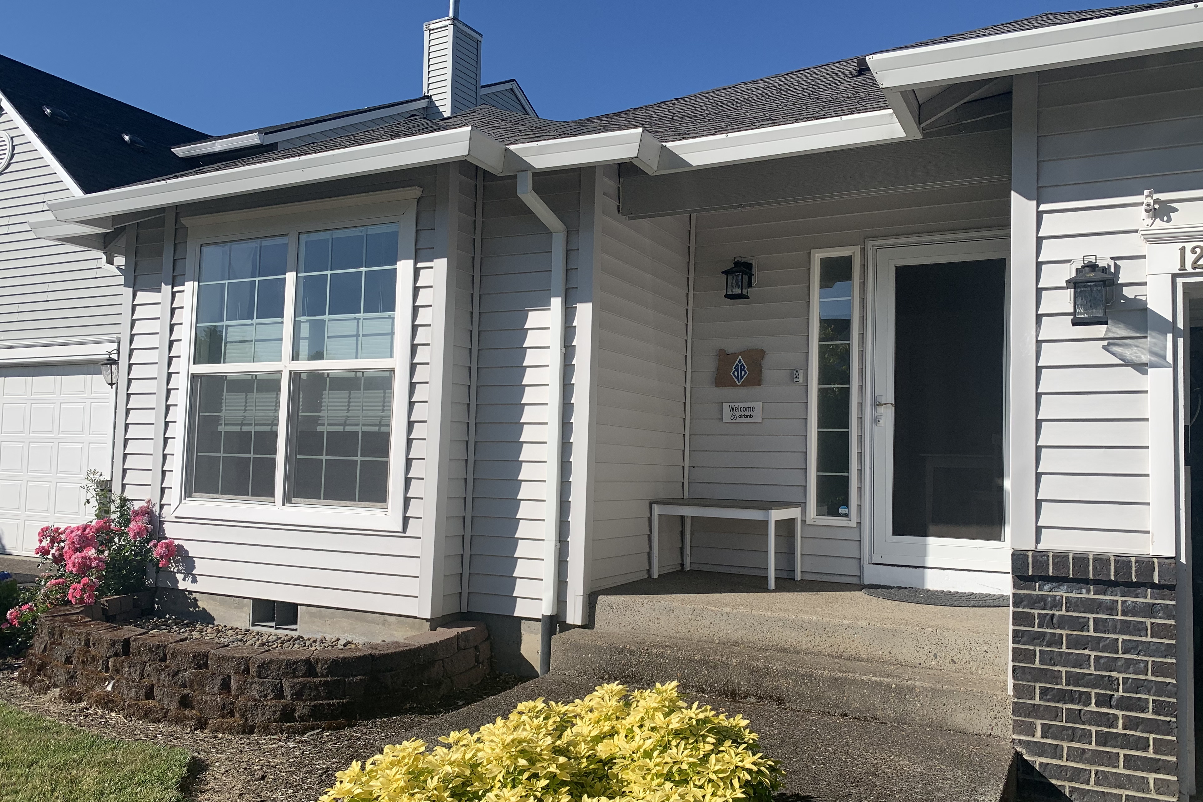
A very nice newly-built AirBnB tonight. My little apartment was on the left side of the house and just perfect.
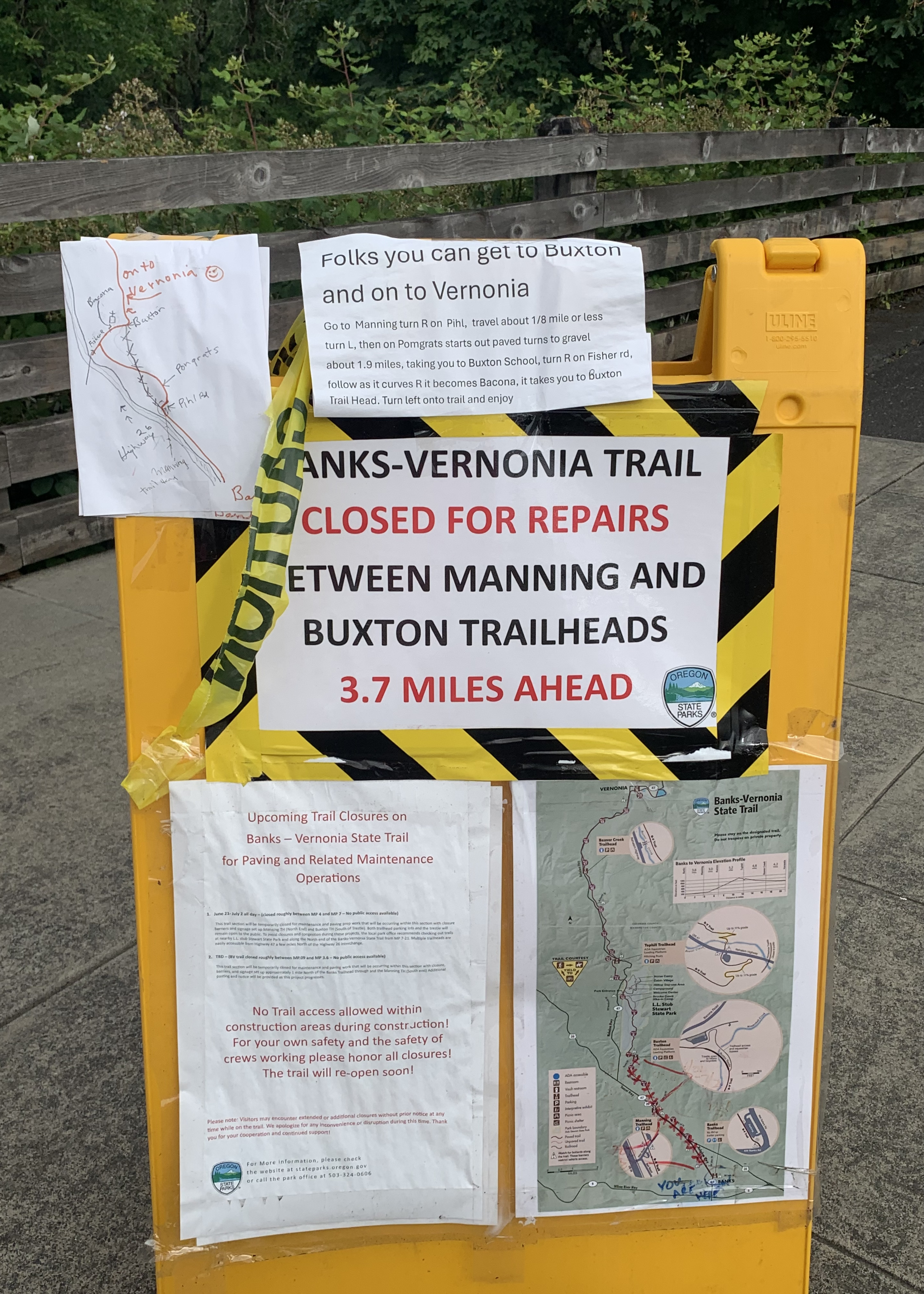
Another cold morning and it stayed that way for the whole ride. I wondered what was on the sandwich board sign up ahead.
Uh-oh. I decided to at least ride the 3.7 miles before turning around.
When I got to Manning, the barricade had been moved slightly. I could see hikers and a cyclist up ahead. Ok, time to see if I can get through. I talked to a couple of cyclists riding toward me, they said the work crew at the other end had waved them through. Cool!
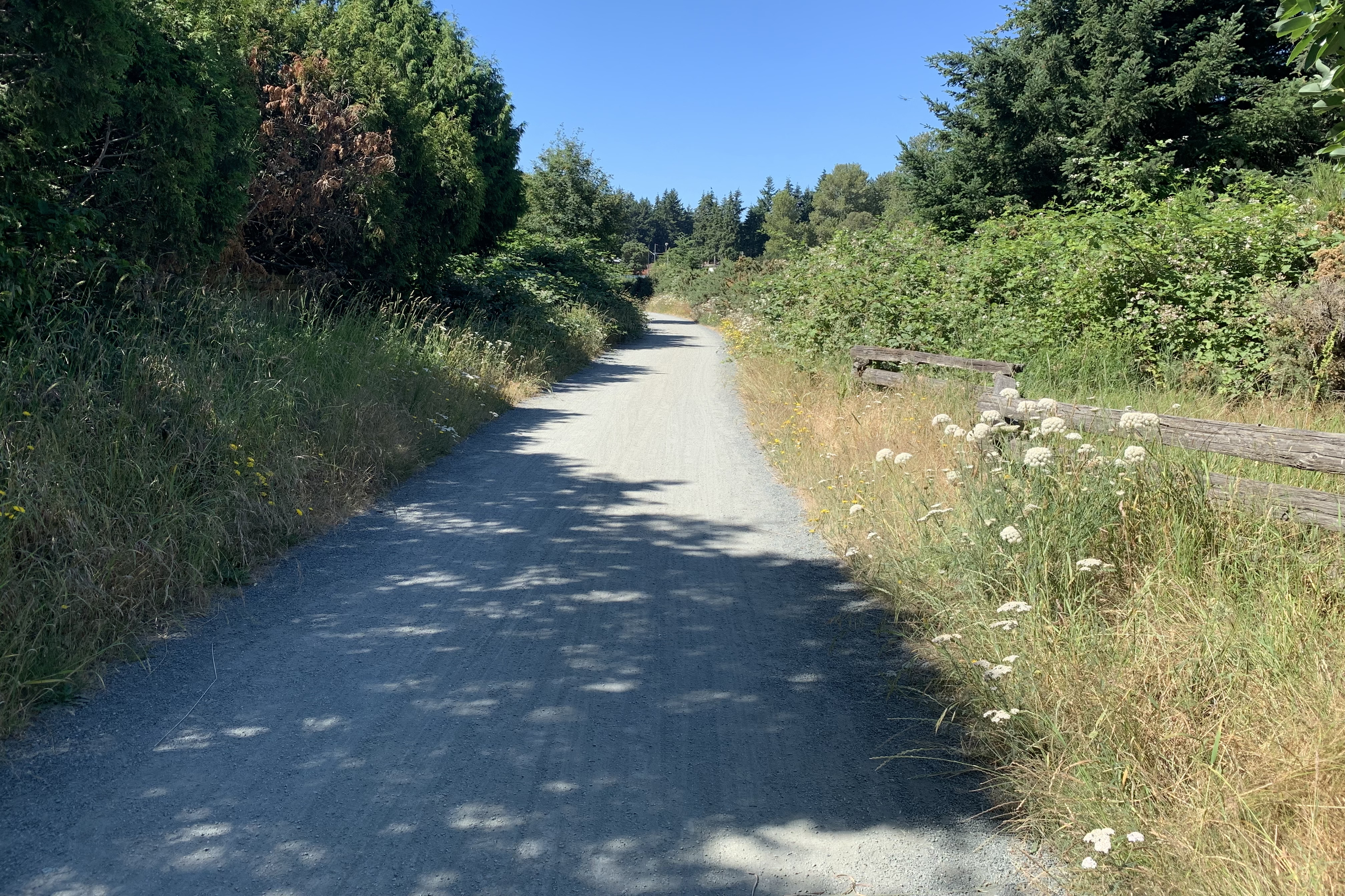
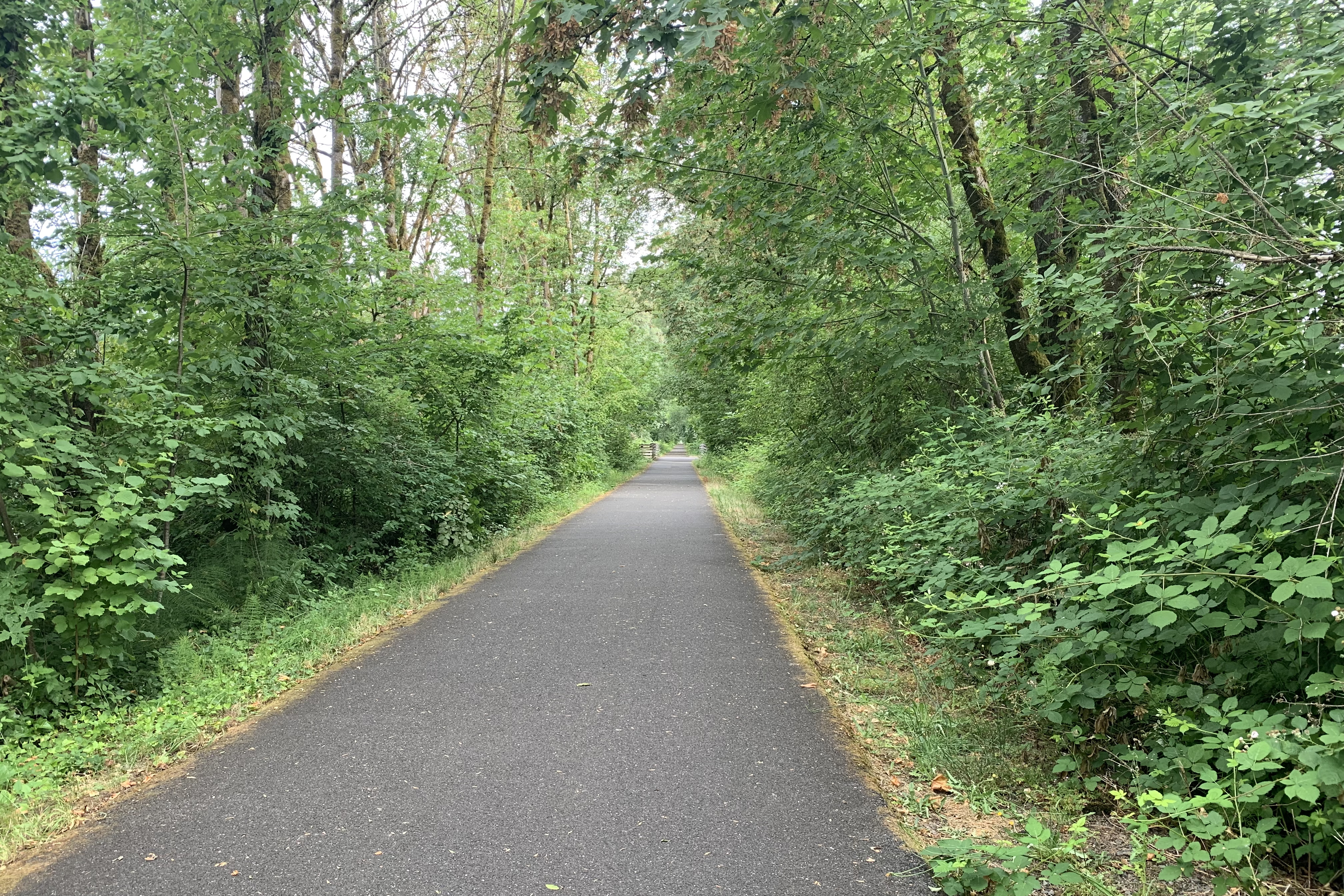
Only a short stretch of non-tree-lined trail.
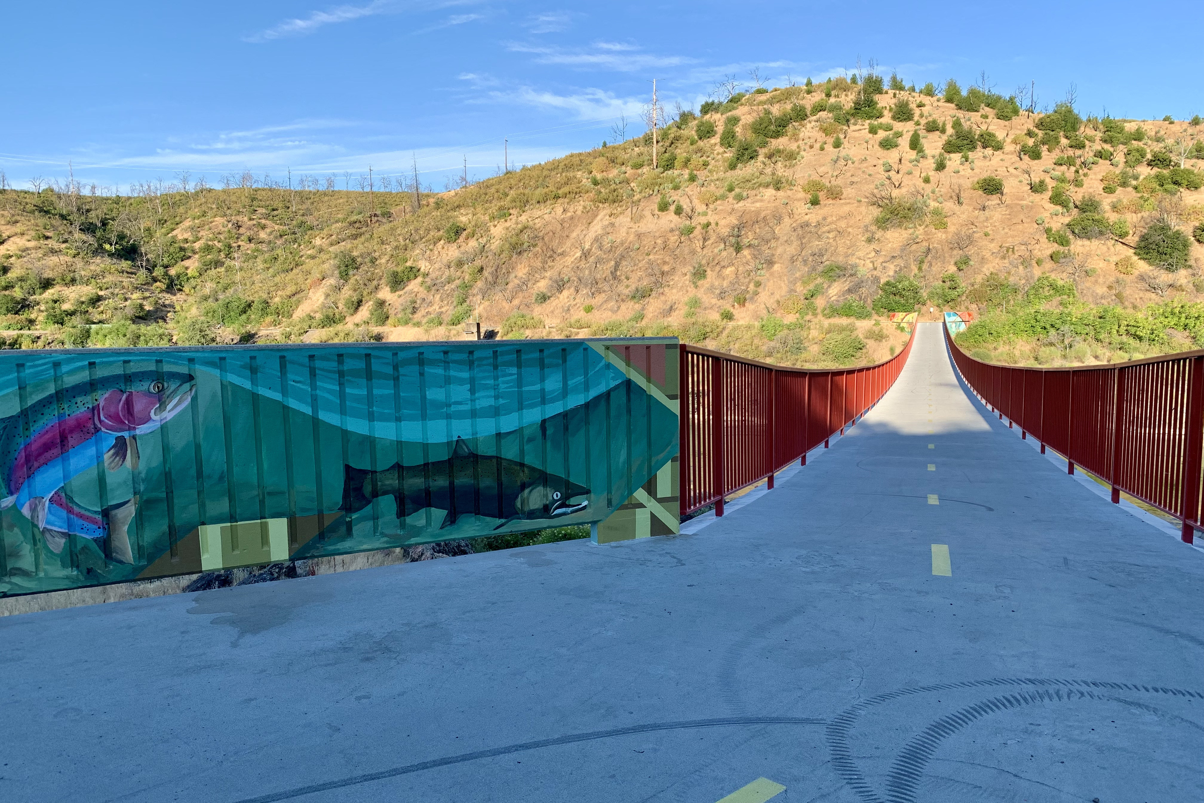
Near Buxton, a 700-foot-long curving trestle, 80 feet high.
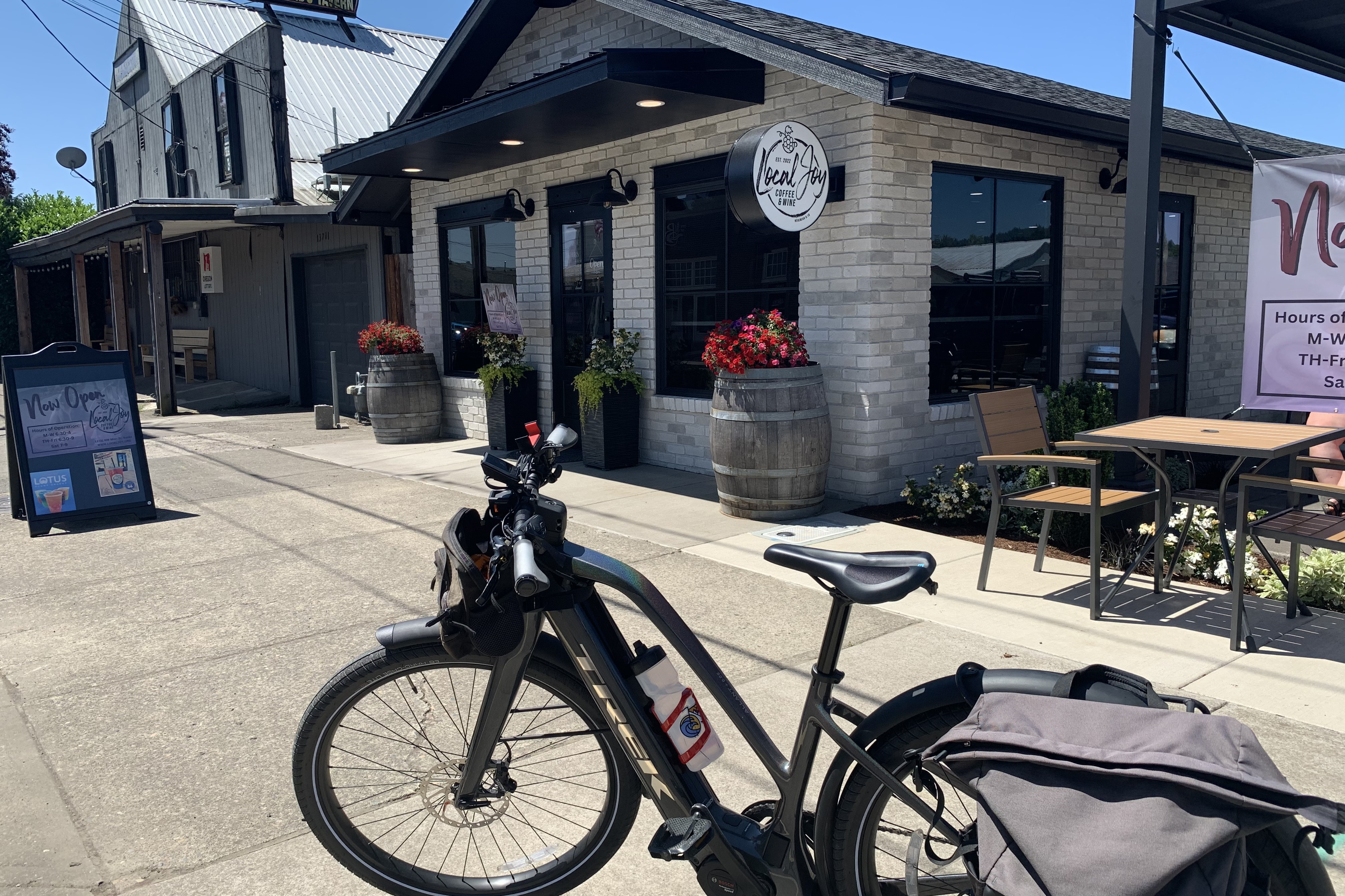
Back in town and headed to the AirBnB to my vehicle, I spotted a new business and stopped for an iced mocha. Great end to a very good ride.
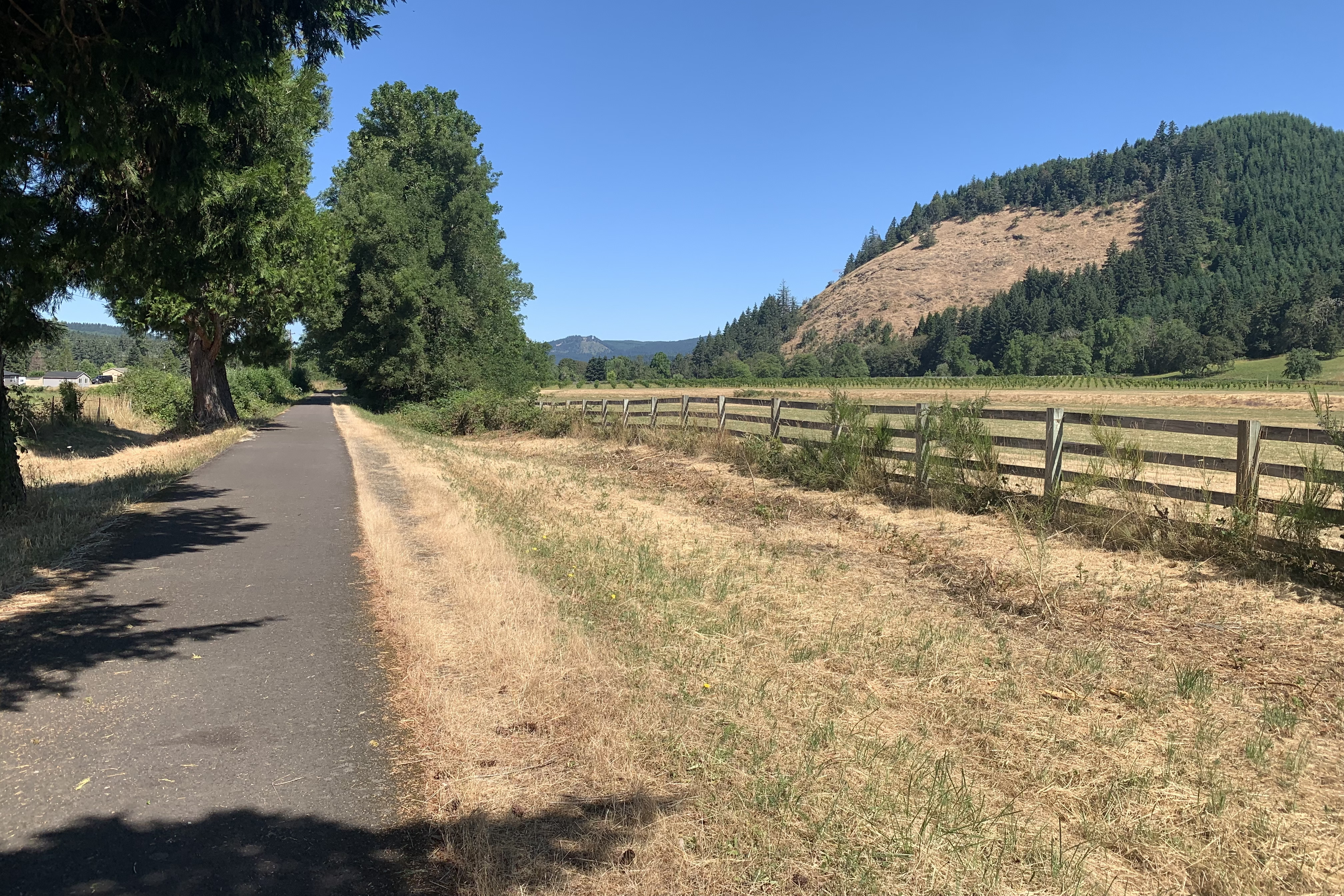
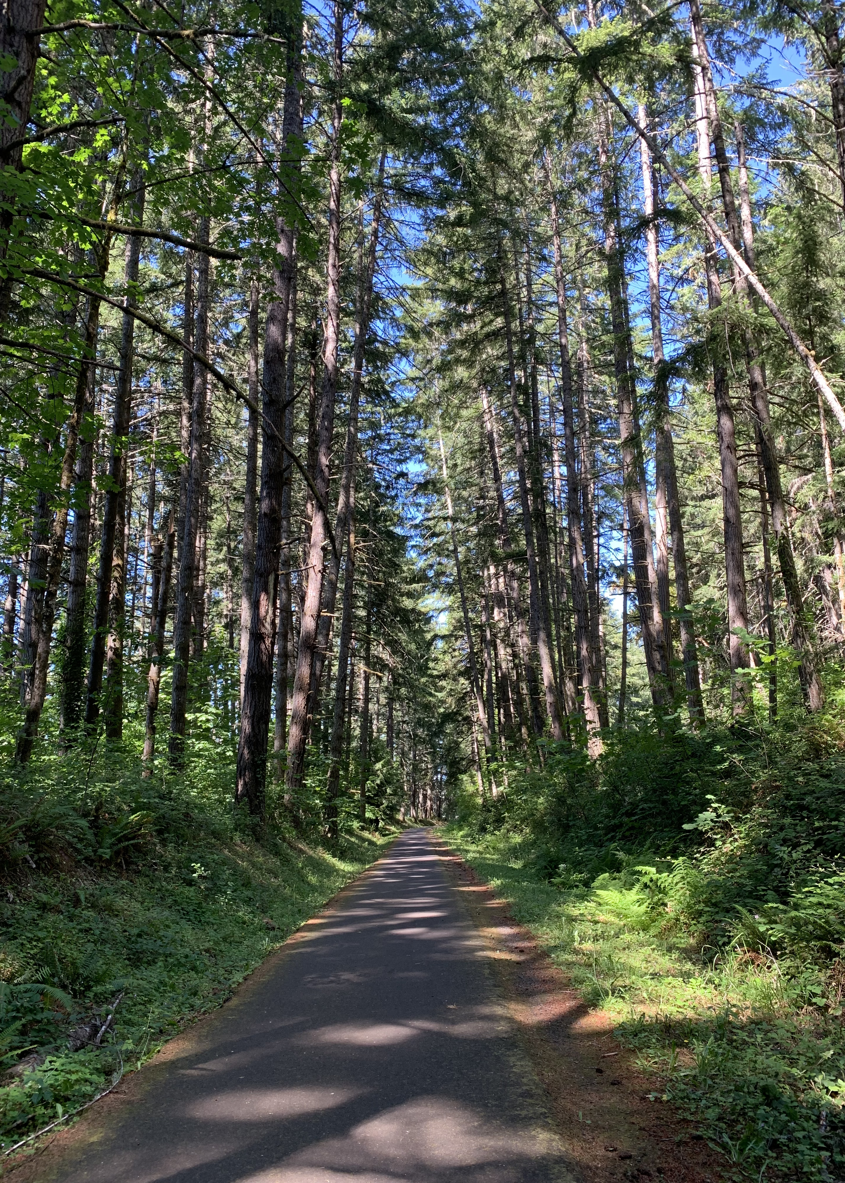
Rather cold this morning, I didn’t leave until 8 am, it was in 57 degrees. Row rhymes with “cow” – the trail got its name because two farmers got into a huge fight.
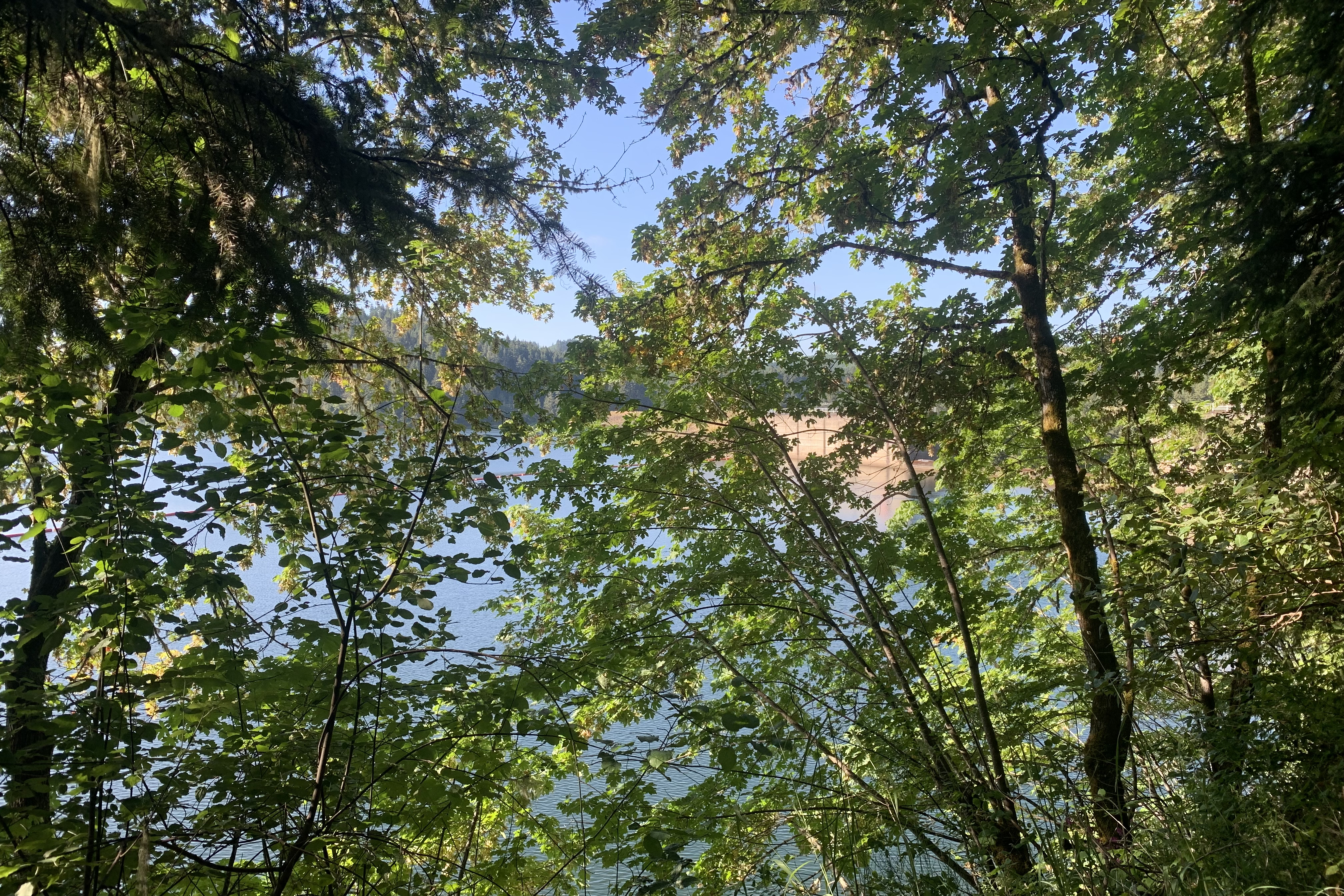
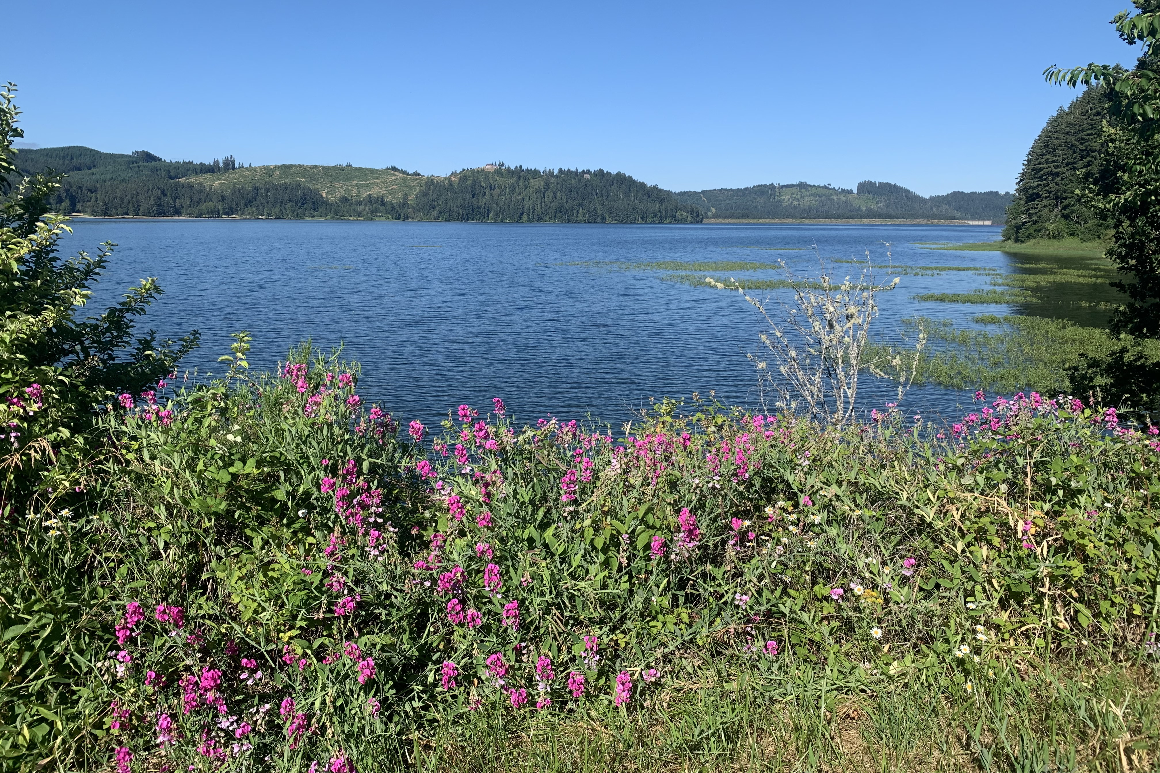
At 7 miles, I came to the first glimpse of Dorena Dam, barely visible through the trees.
For this trip, I decided to get a small tripod to use with my phone.
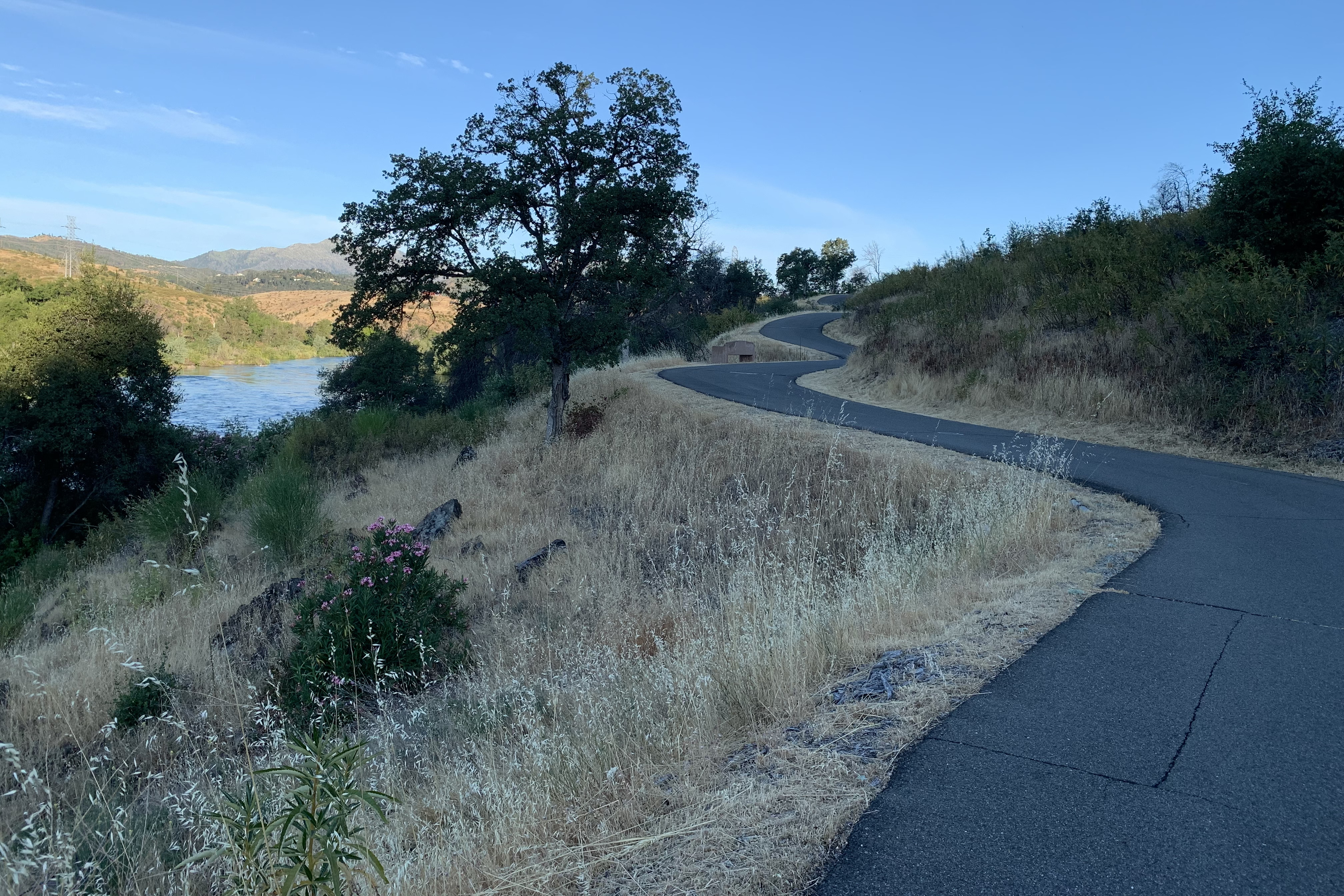
The trail followed the north side of the lake for many miles.
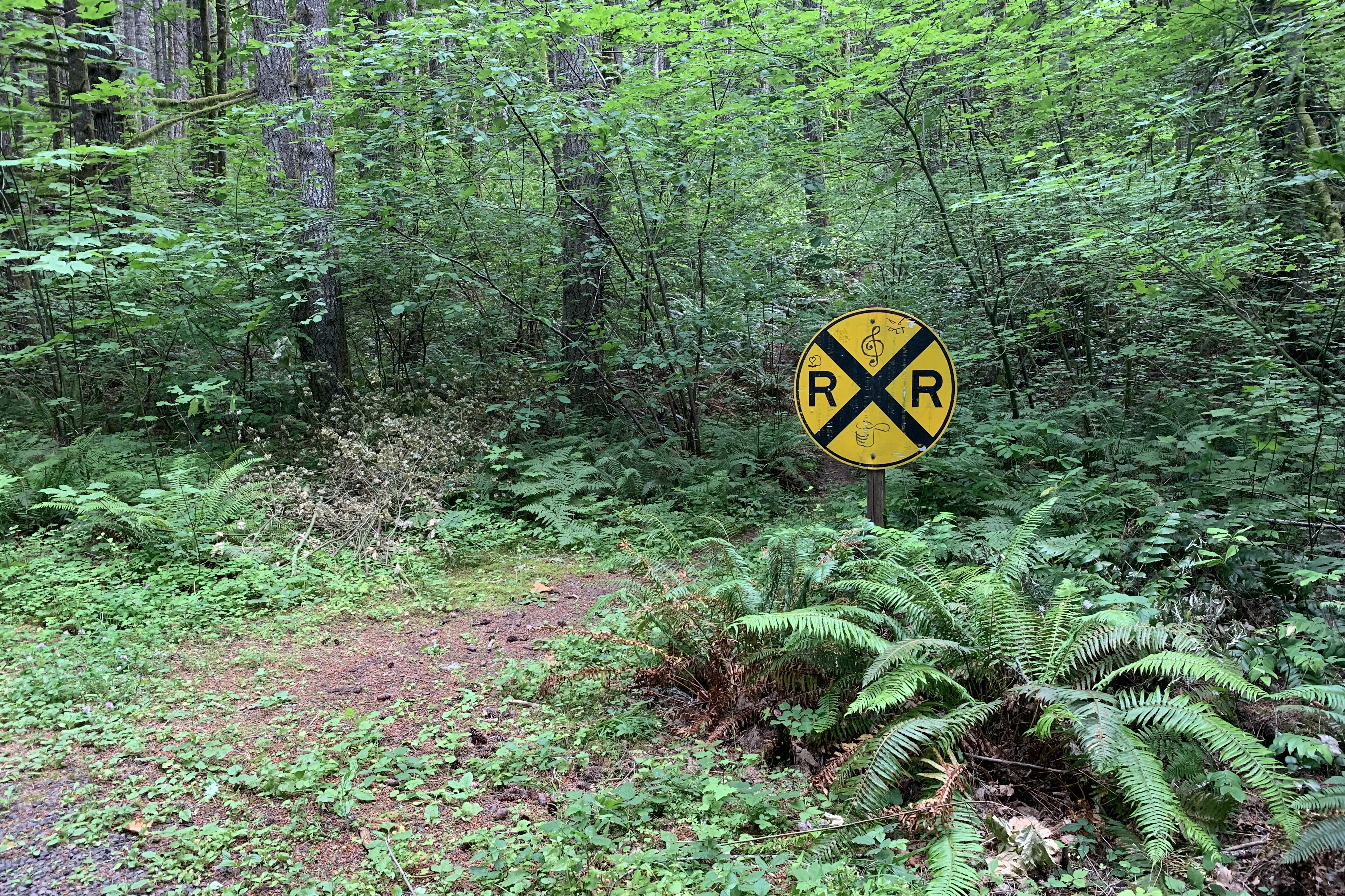
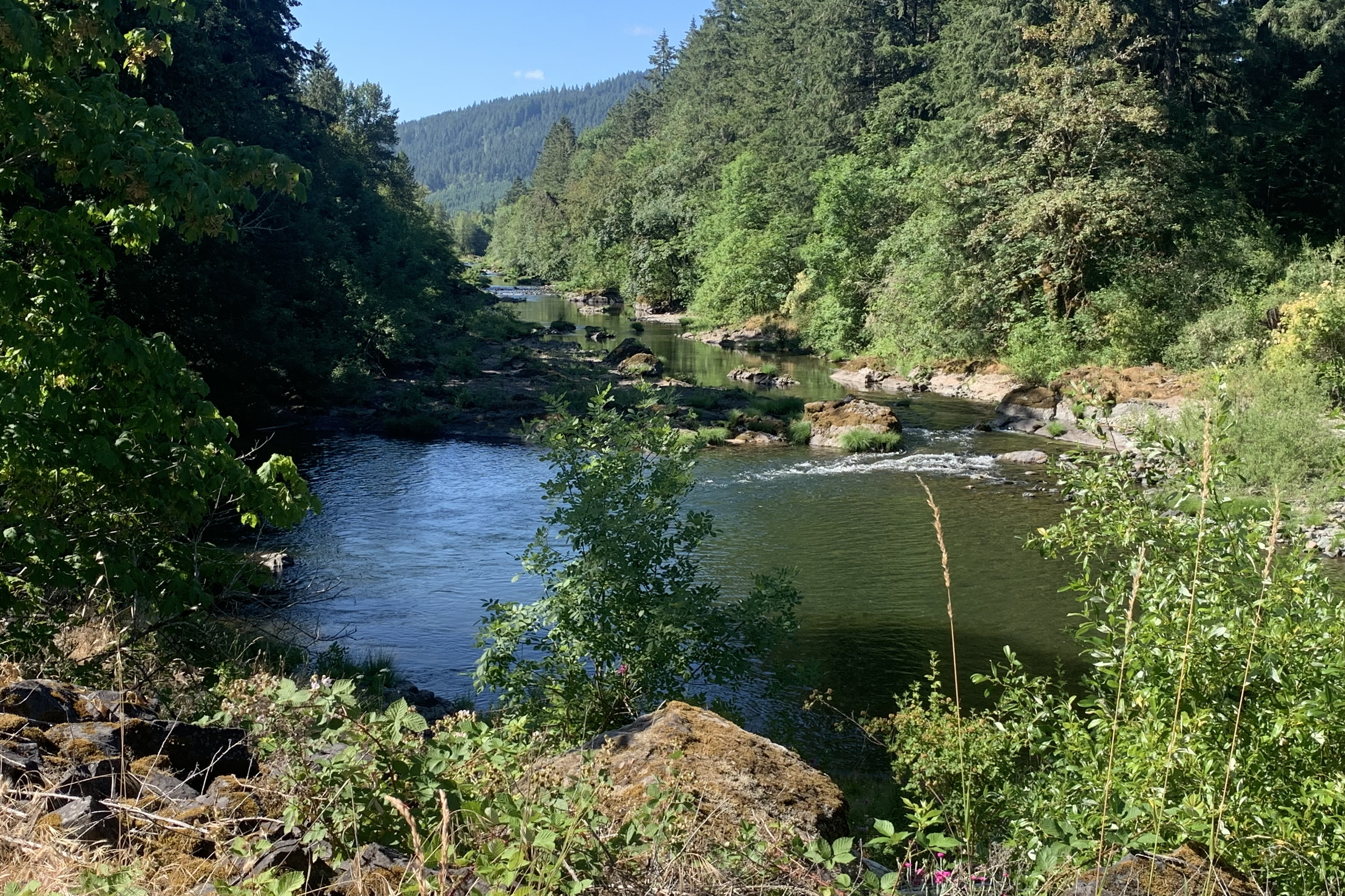
Row River:
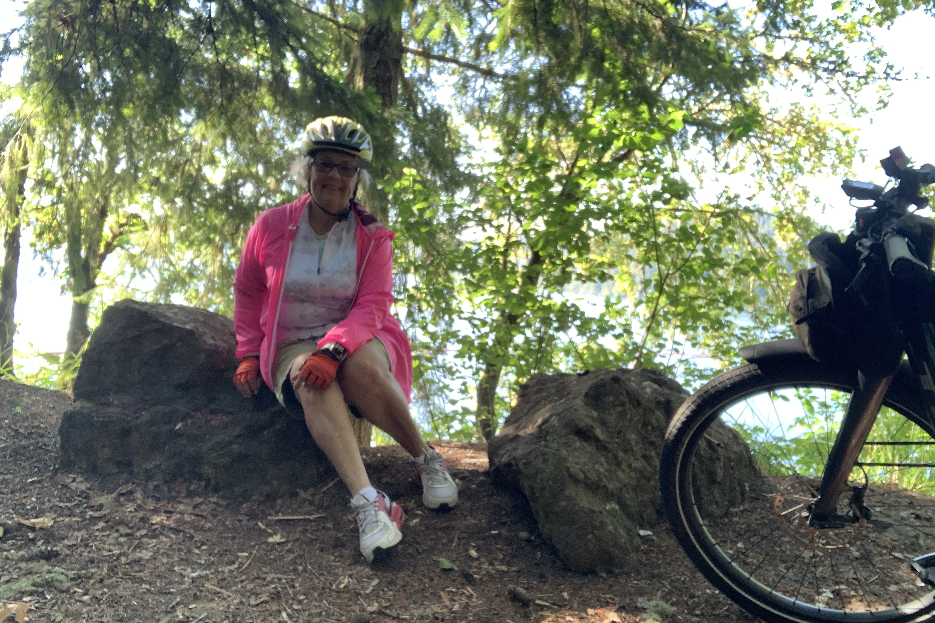
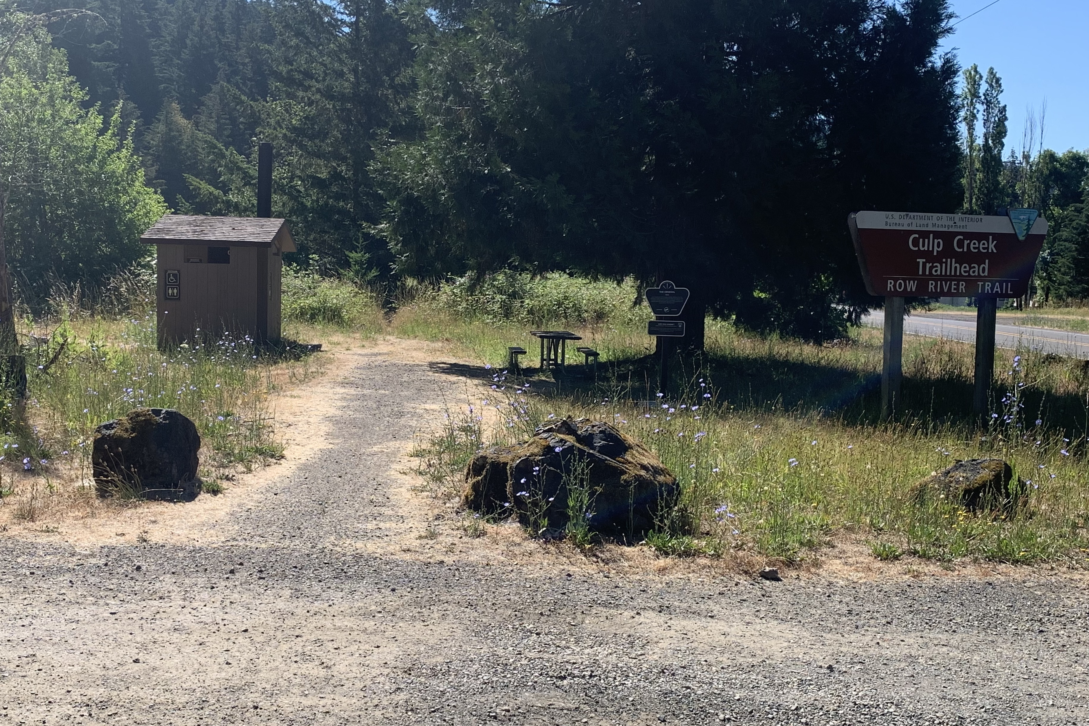
At 17 miles, the trail ended at Culp Creek. I took a break here and had some breakfast before heading back.
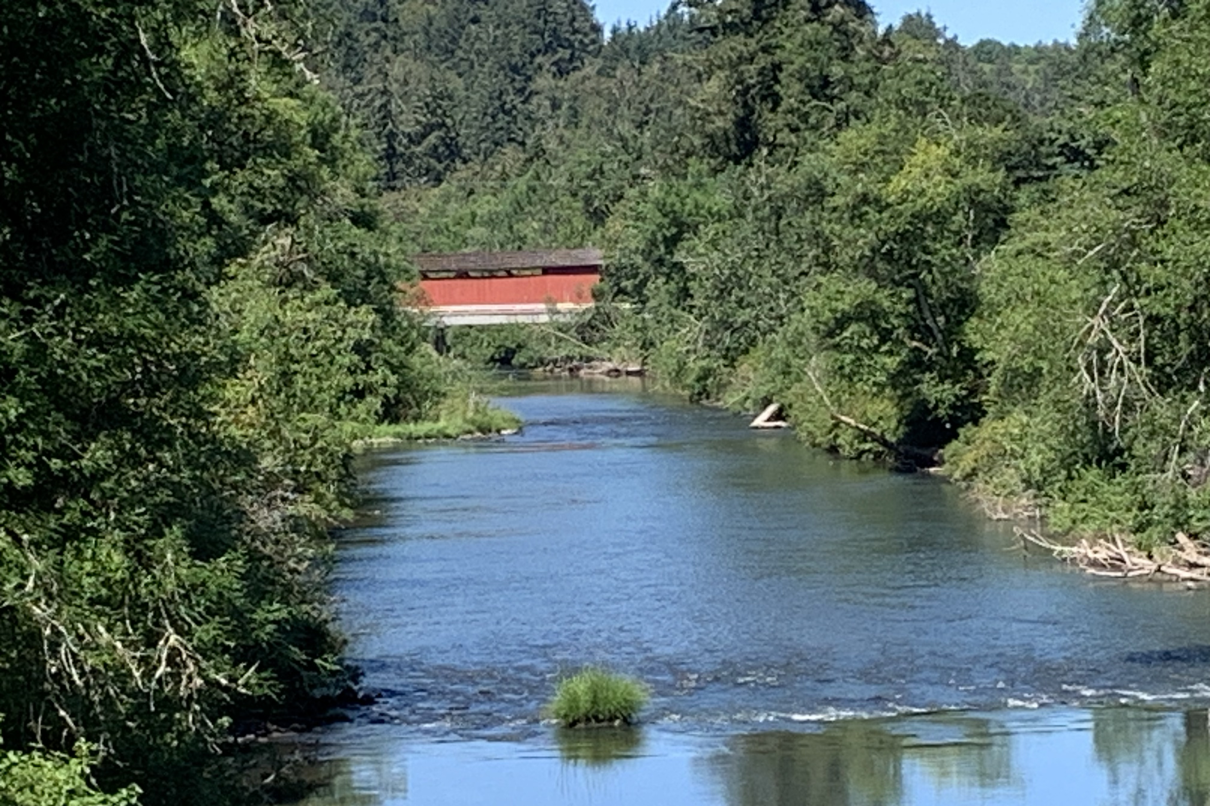
As I crossed this trestle, I looked to the right and spotted one of Lane Counties famous covered bridges. Lane County has the most covered bridges on this side of the Mississippi River.
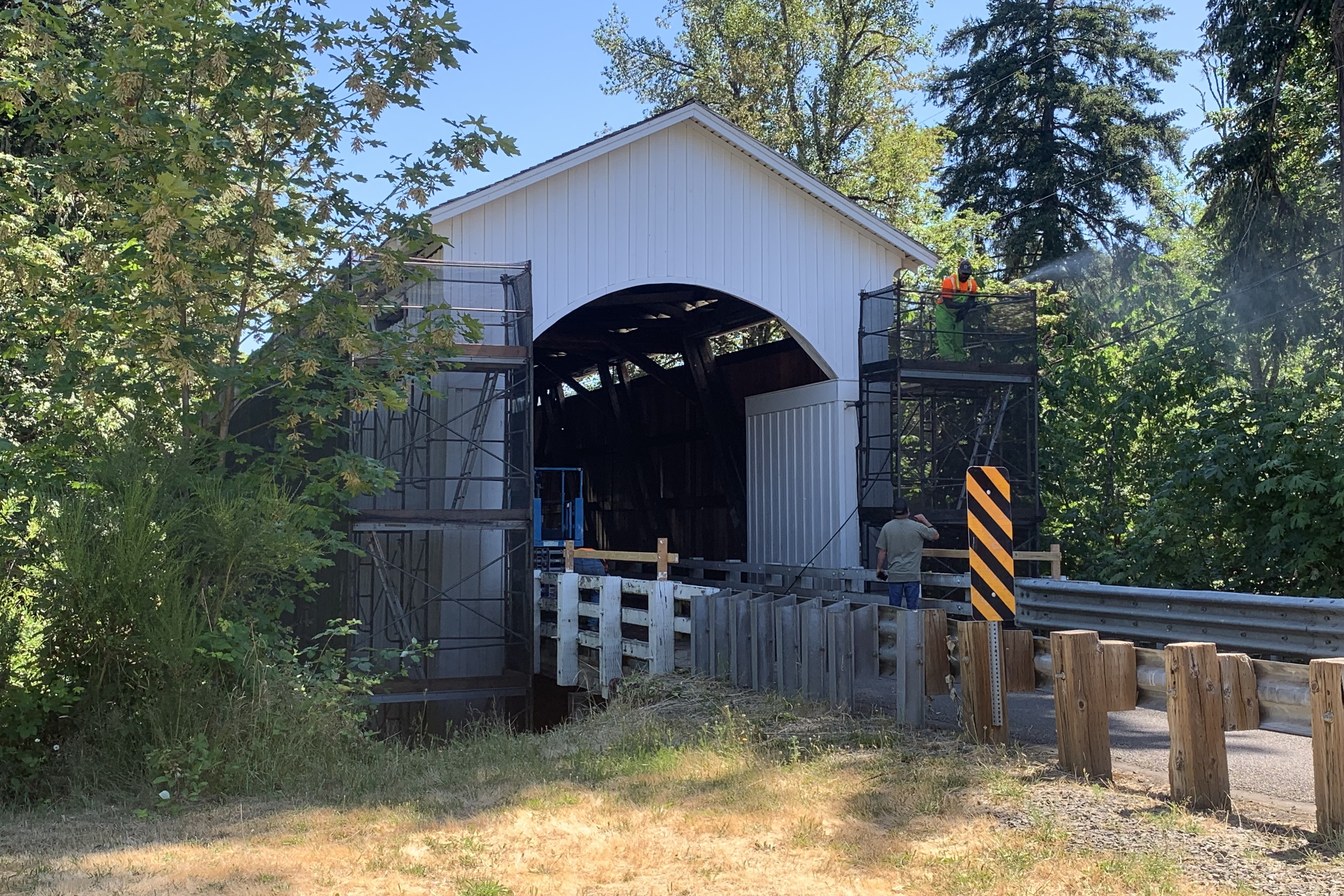
At the next trestle, there was another one but a bit disguised because it was being refurbished. I found a dirt side trail and was able to see this:
Miles = 34. Then I drove to Banks OR where I stayed at a super-nice AirBnB.
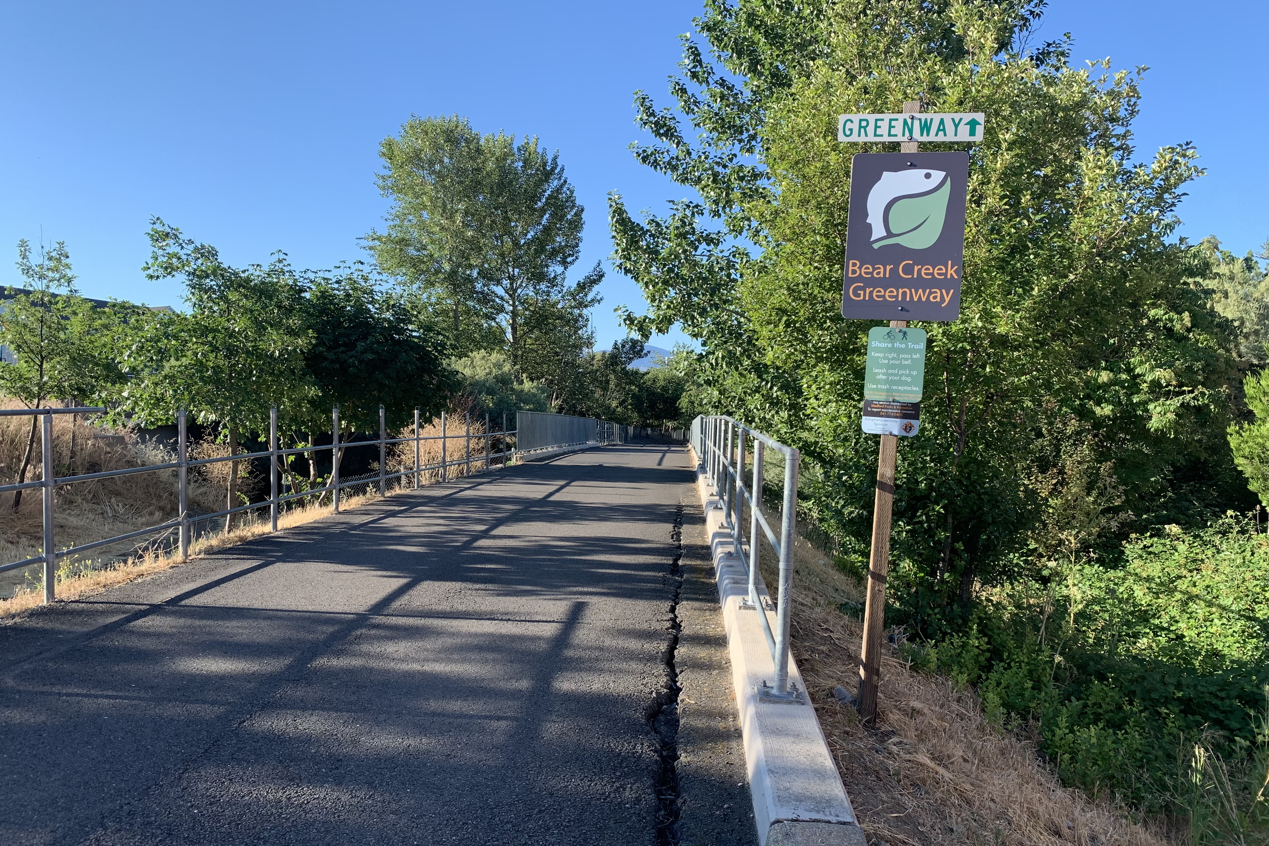
Cooler temperature this morning which meant I could start riding a bit later. I headed south.
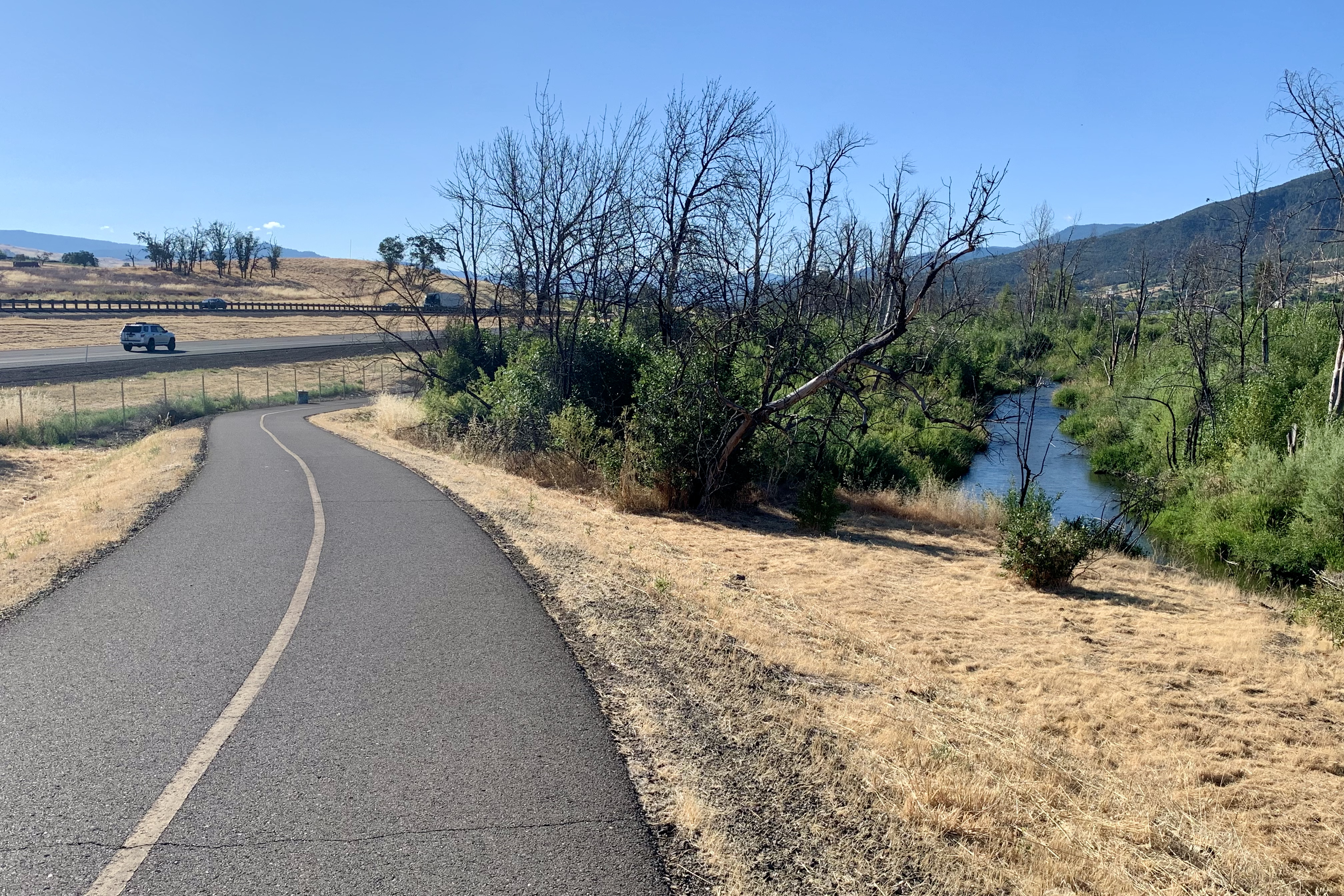
The trail ran along I-5 with periodic glimpses of Bear Creek.
Metal sculpture of manzanita – a symbol of resilience.
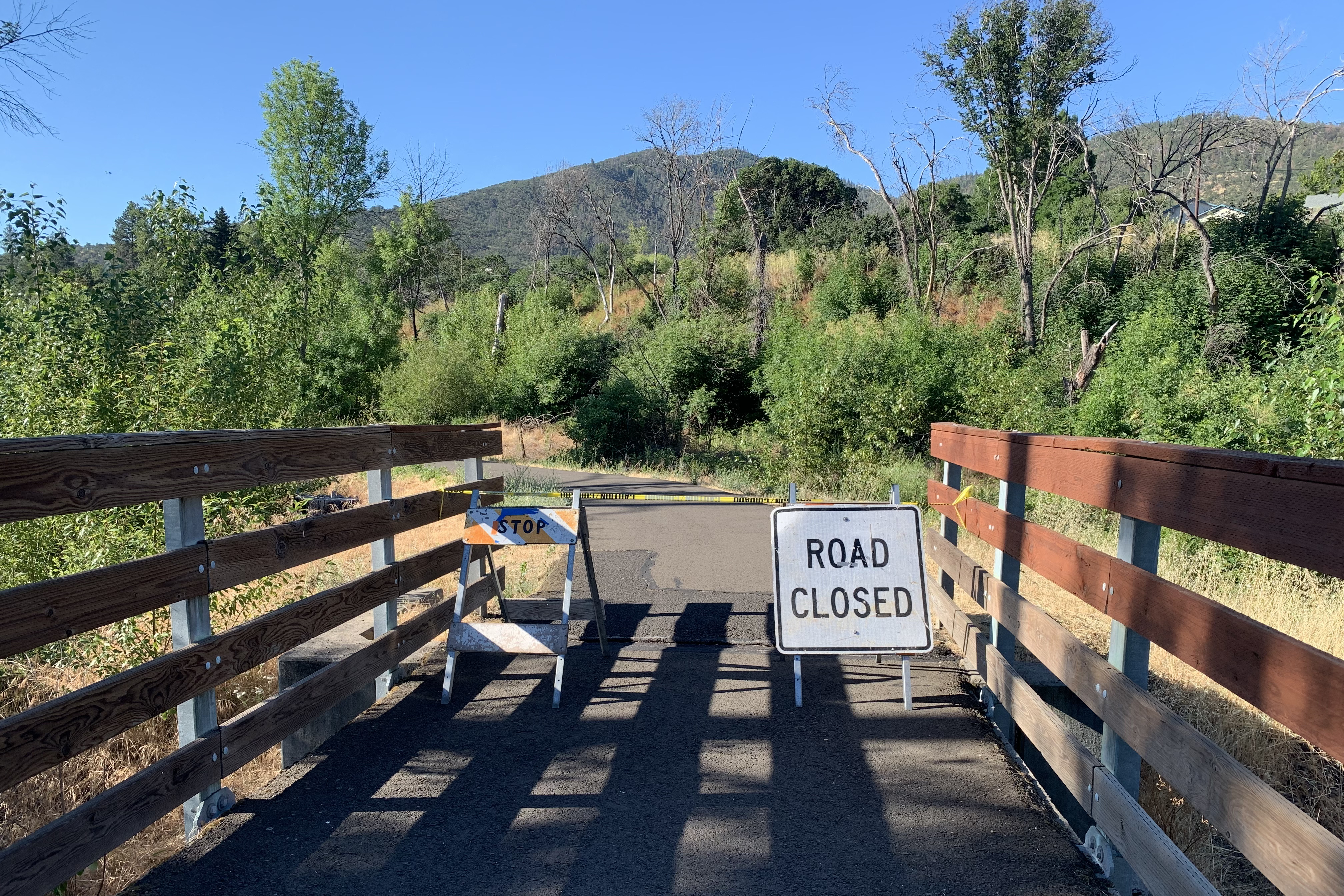
At 10 miles, I had to turn around. Apparently there was huge machinery ahead removing dead trees.
20 miles wasn’t enough so I rode north for a few miles before turning around. Medford crews were mowing all along the trail and Medford police were rousting the homeless.
Miles = 28. Then I drove to Cottage Grove OR. Not a very nice hotel tonight, but close to the trail for tomorrow’s ride.
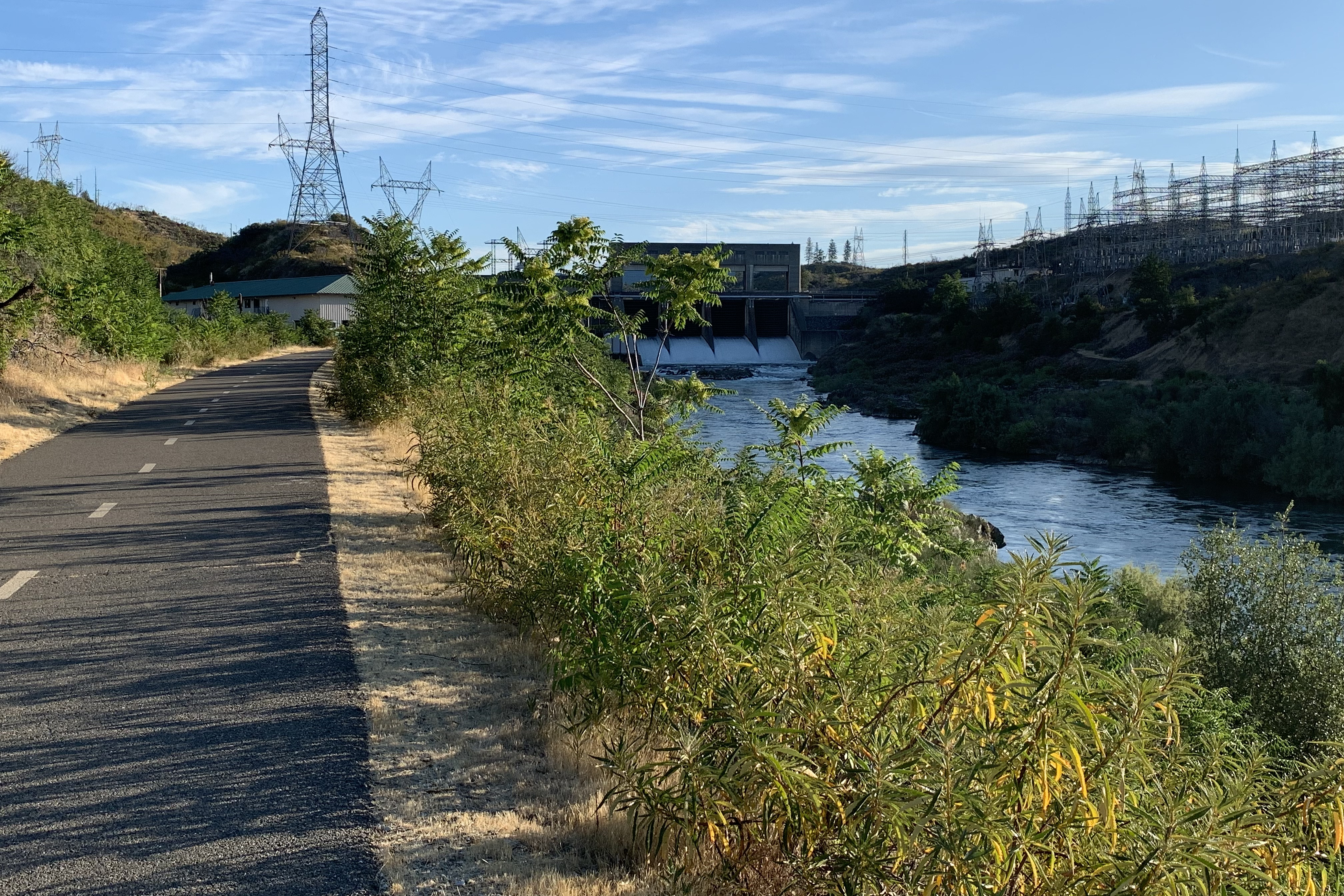
It was going to be hot! so got up quite early (I can only do this for a good bike ride) and drove to the trailhead near the arboretum. I rode north on the east side of the river,
crossed a bridge
and turned right toward Keswick Dam.
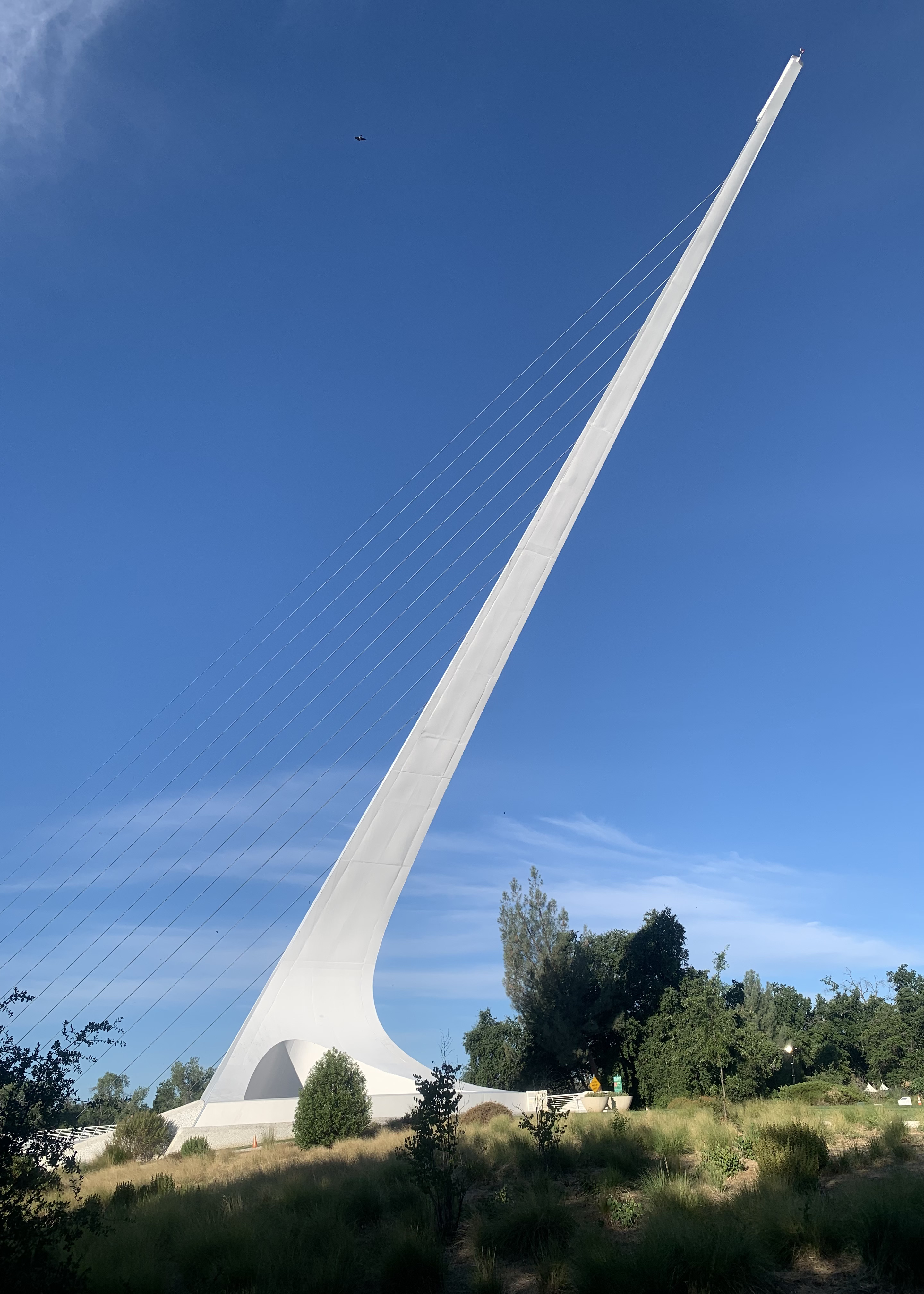
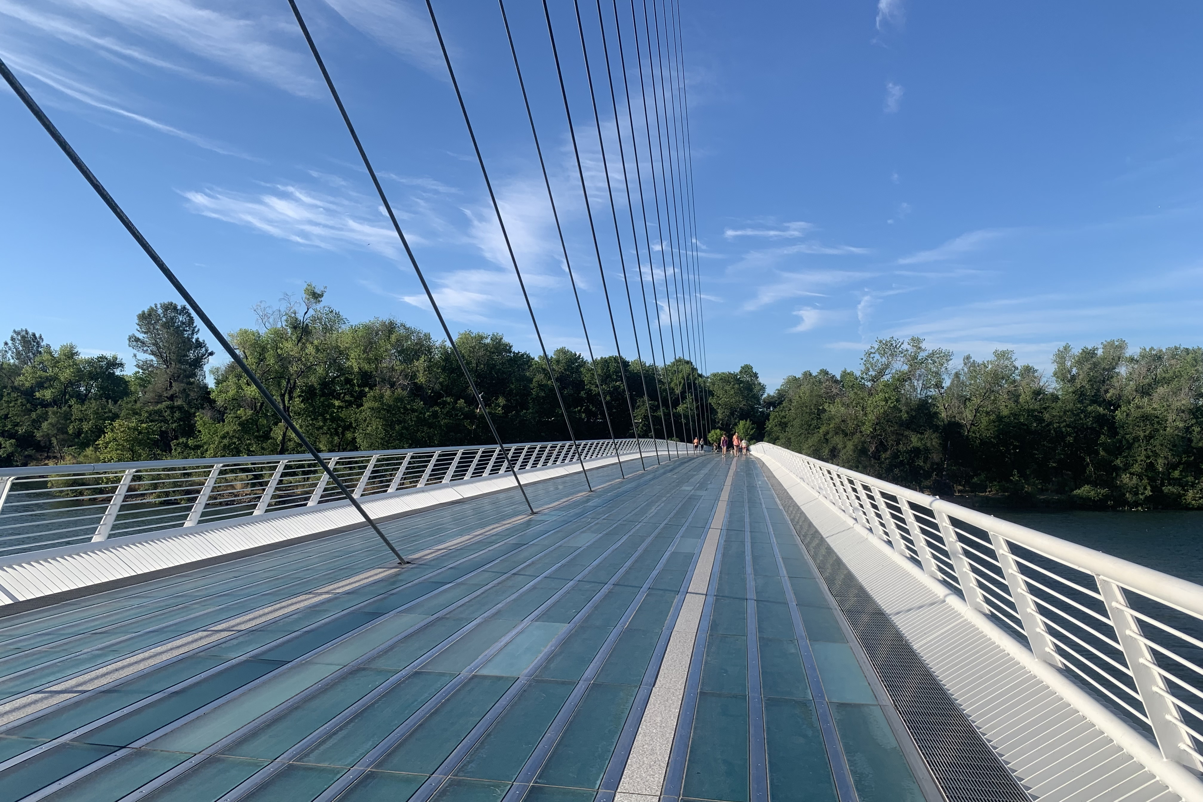
After turning around and heading south on the west side of the river until I got to the Sundial Bridge.
A working sundial and the world’s largest. The deck is translucent.
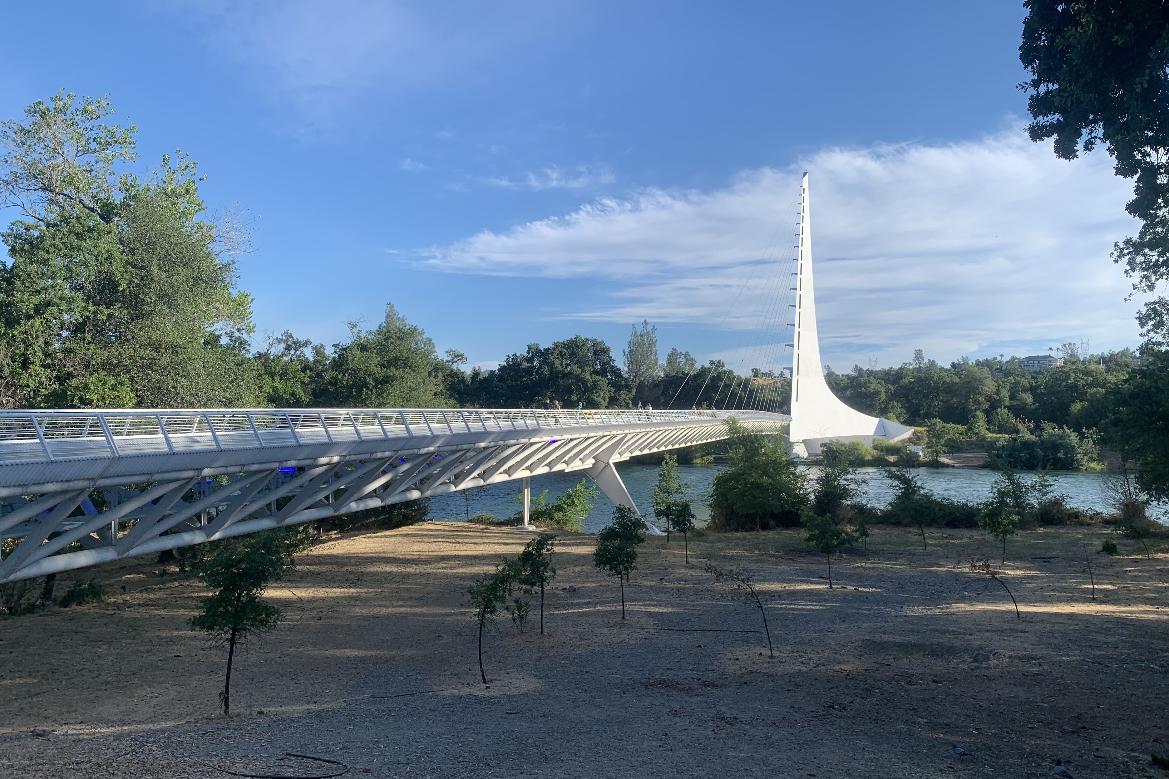
From the plaza on the other side:
Early start, early finish, and then I drove to Medford OR. I used one of Justin’s travel strategies, find a hotel where you can walk to a nearby restaurant for dinner and an adult beverage. Great idea.